







Bike route to Erfurt & connection to the Thuringian City Chain

You can explore Bad Berka not only on foot but also by bike, enjoying the picturesque landscape around the spa town of Bad Berka. With the reopening of the Tourist Information, a variety of cycle routes...
You can explore Bad Berka not only on foot but also by bike, enjoying the picturesque landscape around the spa town of Bad Berka. With the reopening of the Tourist Information, a variety of cycle routes have been created that lead from Bad Berka to various neighbouring villages in all directions. Short, medium, and long distances can be ridden on excellently developed cycle paths.
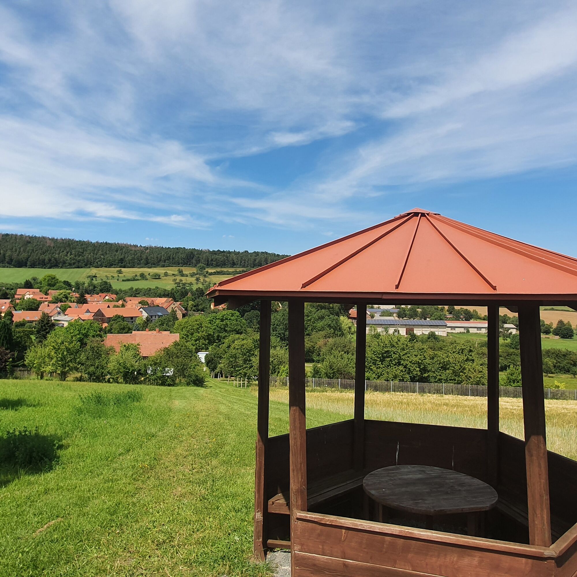
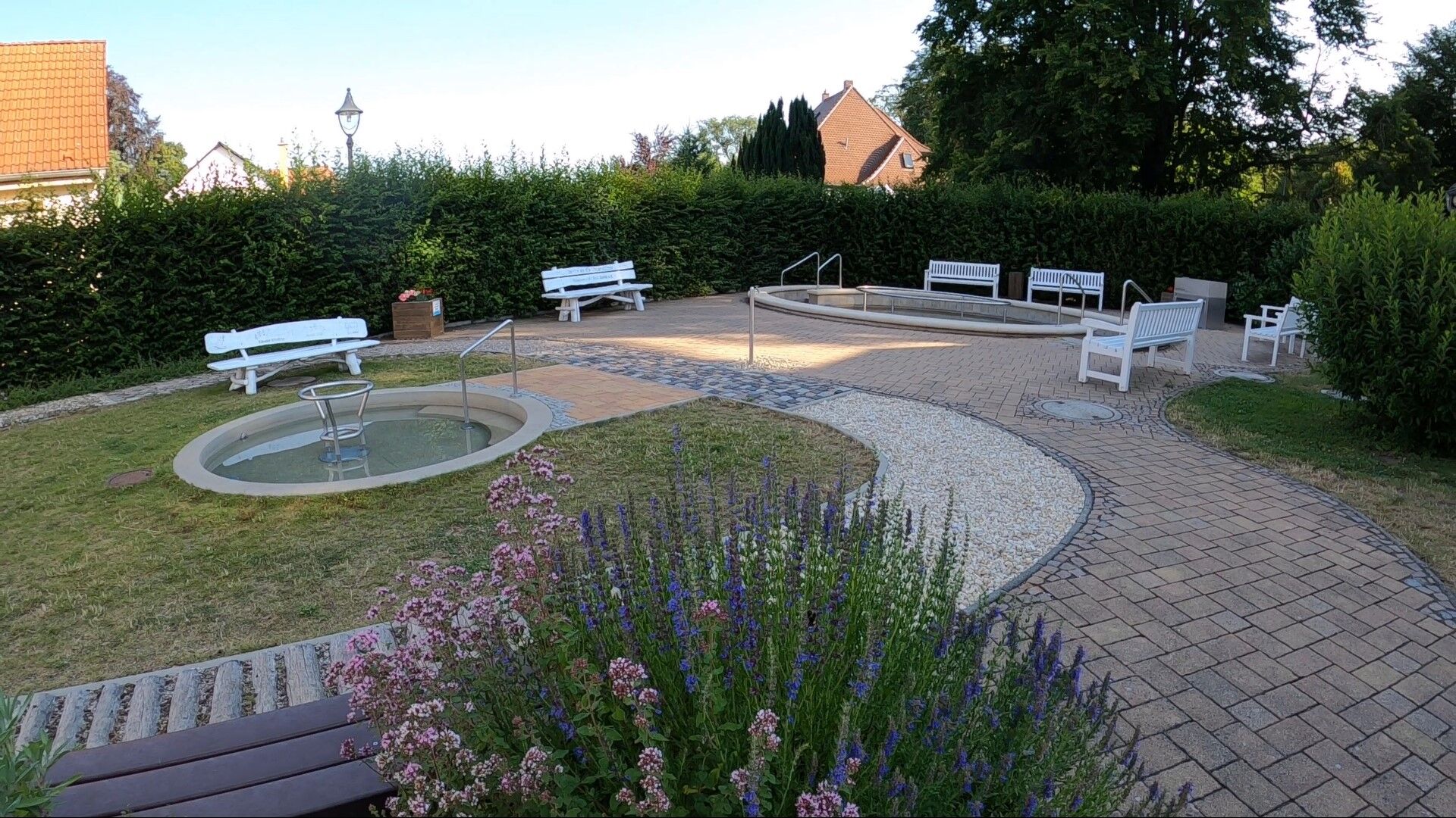
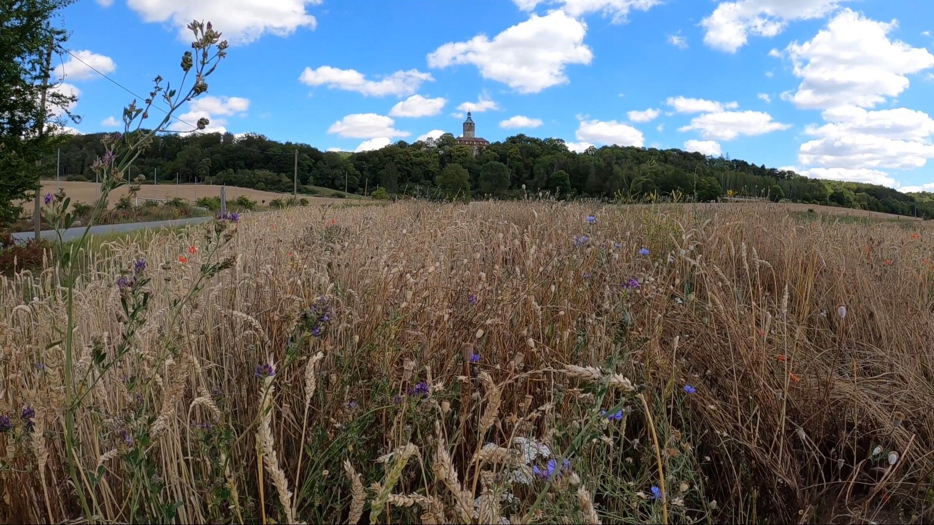

The route begins at the Tourist Information Bad Berka and leads through the spa park into Badegasse, then through Pfarrgasse, past the church and market towards Tiefengruben. After Tiefengruben, a cycle path runs along the country road. The round village of Tiefengruben is passed through in the direction of Tonndorf. Shortly thereafter, the castle and the village of Tonndorf come into view. Here, too, you pass through the village and follow the signs to Nauendorf and then on to Klettbach and Schellroda. Shortly afterwards, you are already approaching Erfurt, but just before you reach the destination (Tourist Information Erfurt), you pass through Windischholzhausen.
From the direction of Weimar or Rudolstadt (B 85), turn right or left at the Ilmenau junction into the city centre and follow the signs to the car park.
From the direction of Ilmenau, at the junction to Weimar/Rudolstadt, drive straight into the city centre and follow the signs to the car park.
Arrival by bus and train possible. Starting point is accessible on foot.
City centre car park (well signposted on local signposts); free parking and caravan parking; from there about 400 m walk to the Tourist Information.

Oblíbené prohlídky v okolí
-
5.0
Thuringian Three Towers Trail
středníTuristika 25.3 km -
„Auf den Spuren starker Frauen" - Pilgern in Thüringen
středníPoutní stezka 54 km -
4.0
Ludwig Häfner Trail
středníTuristika 10.4 km -
Hexenberg circular route
světloTuristika 6.79 km -
4.0
Ludwig-Geist-Path
světloTuristika 5.13 km -
Megamarsch Erfurt 2022
heavyTuristika 50.6 km -
Adventure Trail Schlossberg
světloTematická stezka 2.50 km -
Circular hiking trail - Around Arnstadt - Northeast route
středníTuristika 25.7 km -
Nature Experience Trail "Bad Berka - Blankenhain"
středníTematická stezka 7.70 km -
Professor Tegtmeier Path
světloTuristika 4.90 km
Pěší turistika a stopování


Nenechte si ujít nabídky a inspiraci pro vaši příští dovolenou
Vaše e-mailová adresa byl přidán do poštovního seznamu.





