


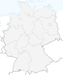


Circular hiking trail - Around Arnstadt - Northeast route
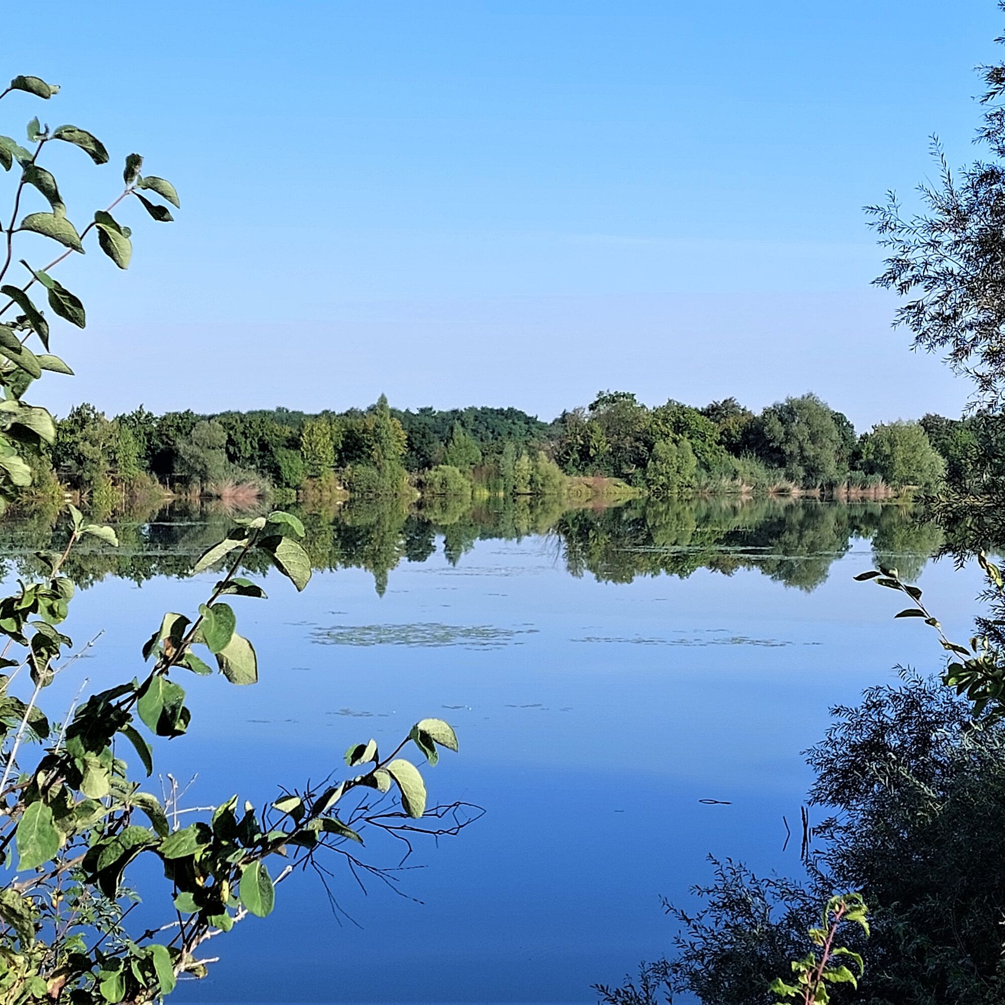
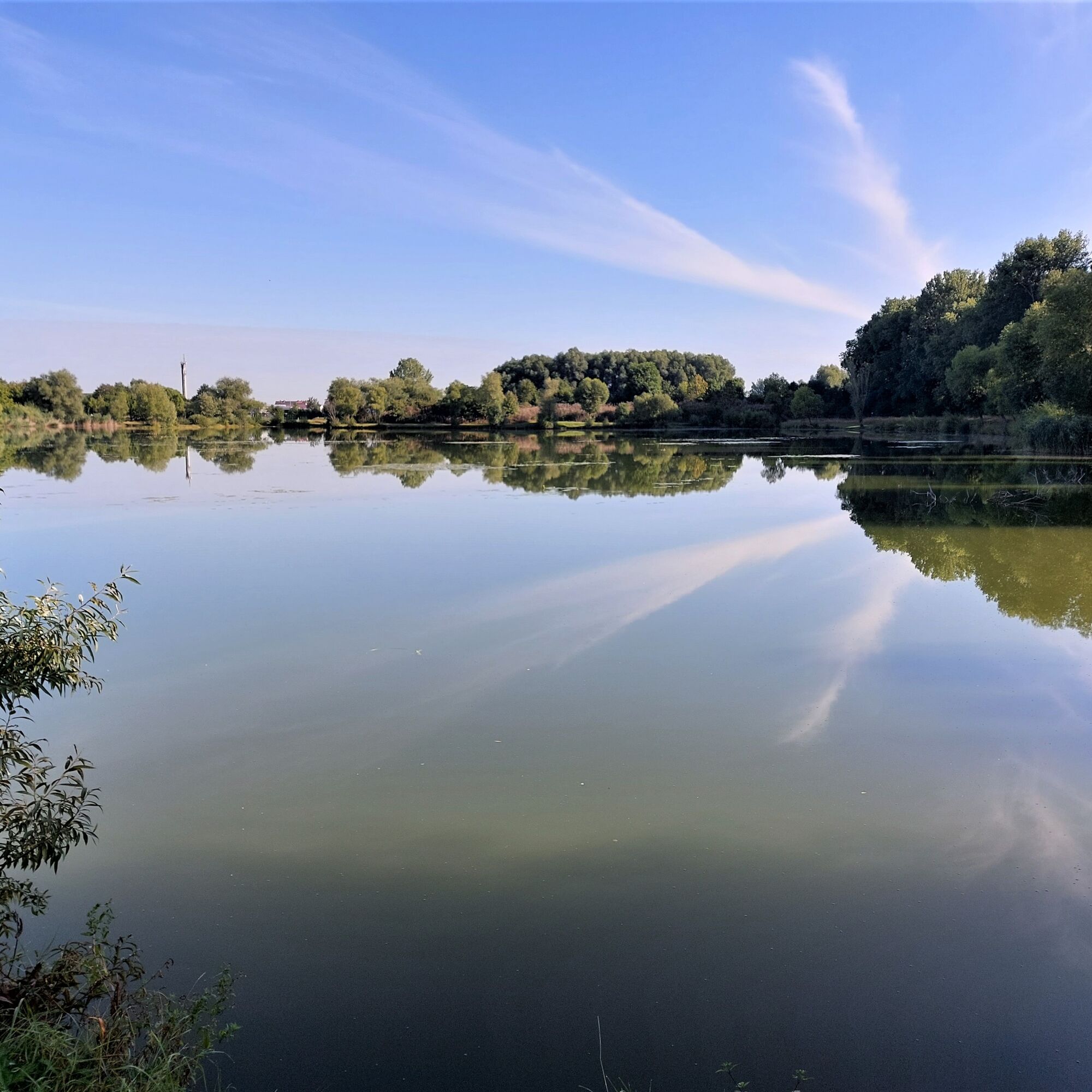
From the Bach city of Arnstadt, the hiking route leads along the Gera and through a natural floodplain forest. In front of the district of Ichtershausen, a former gravel pond is passed. Gravel excavation...
From the Bach city of Arnstadt, the hiking route leads along the Gera and through a natural floodplain forest. In front of the district of Ichtershausen, a former gravel pond is passed. Gravel excavation ended in 1976. Now the pond is a small recreational area, especially popular with fishing enthusiasts.
From the district of Rudisleben, the path leads from the course of the Gera to the Wipfra. Over Ettischleben, Marlishausen and Hausen, this stream is accompanied upstream.
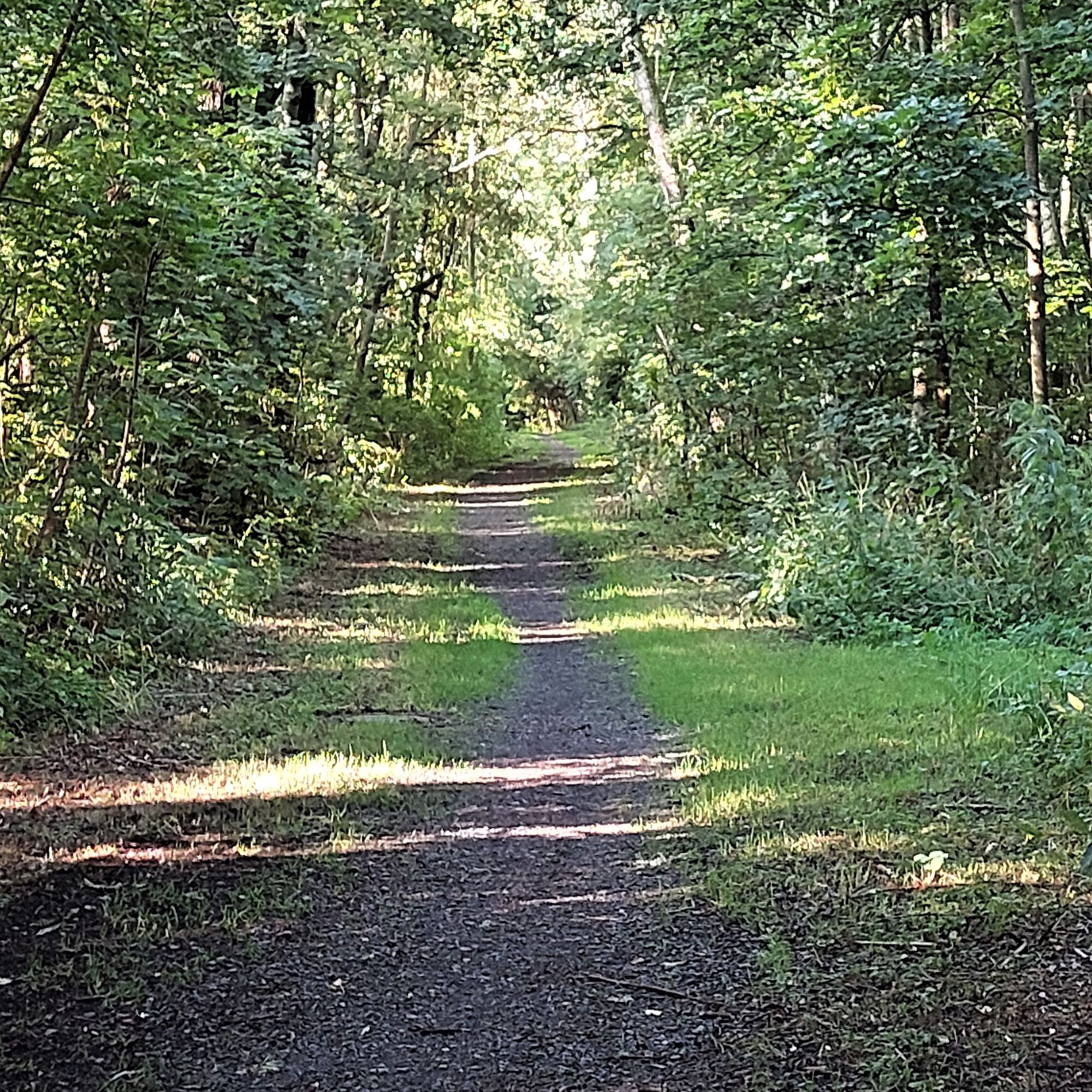
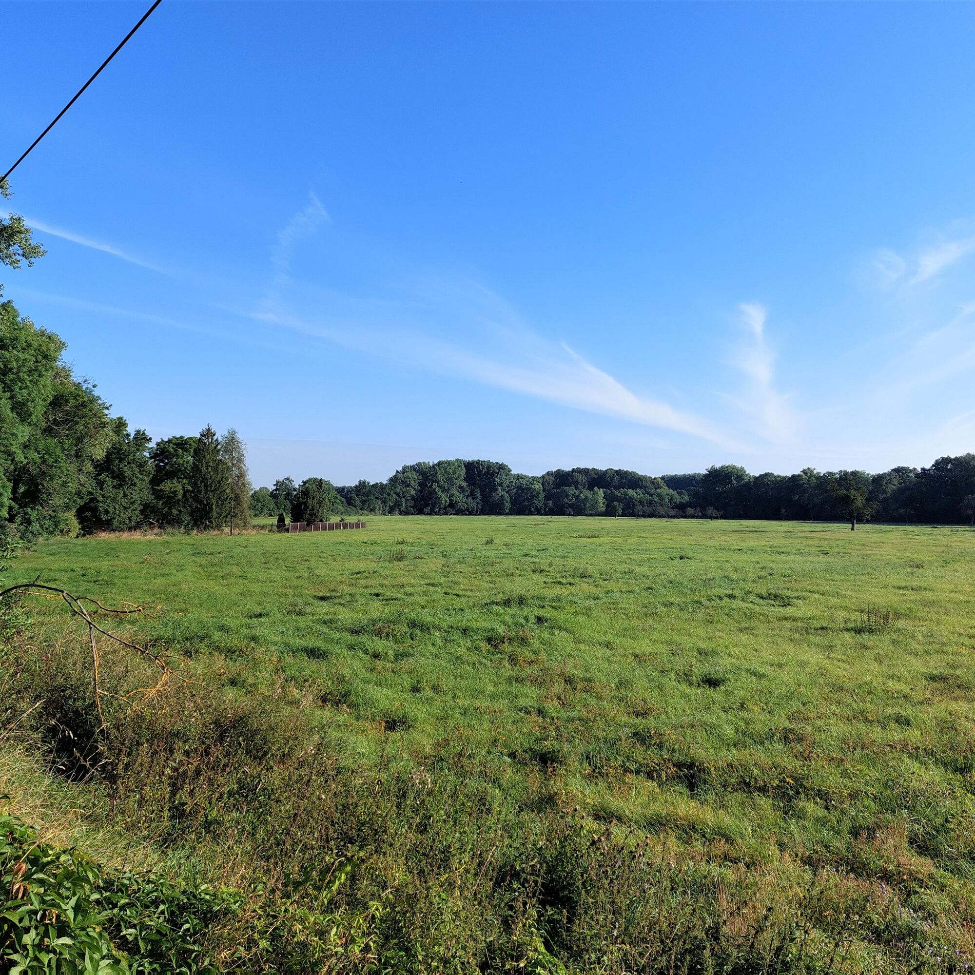
After Hausen, the Wipfra is left and the route leads into the Hain nature reserve. This is characterized by mixed forest stands.
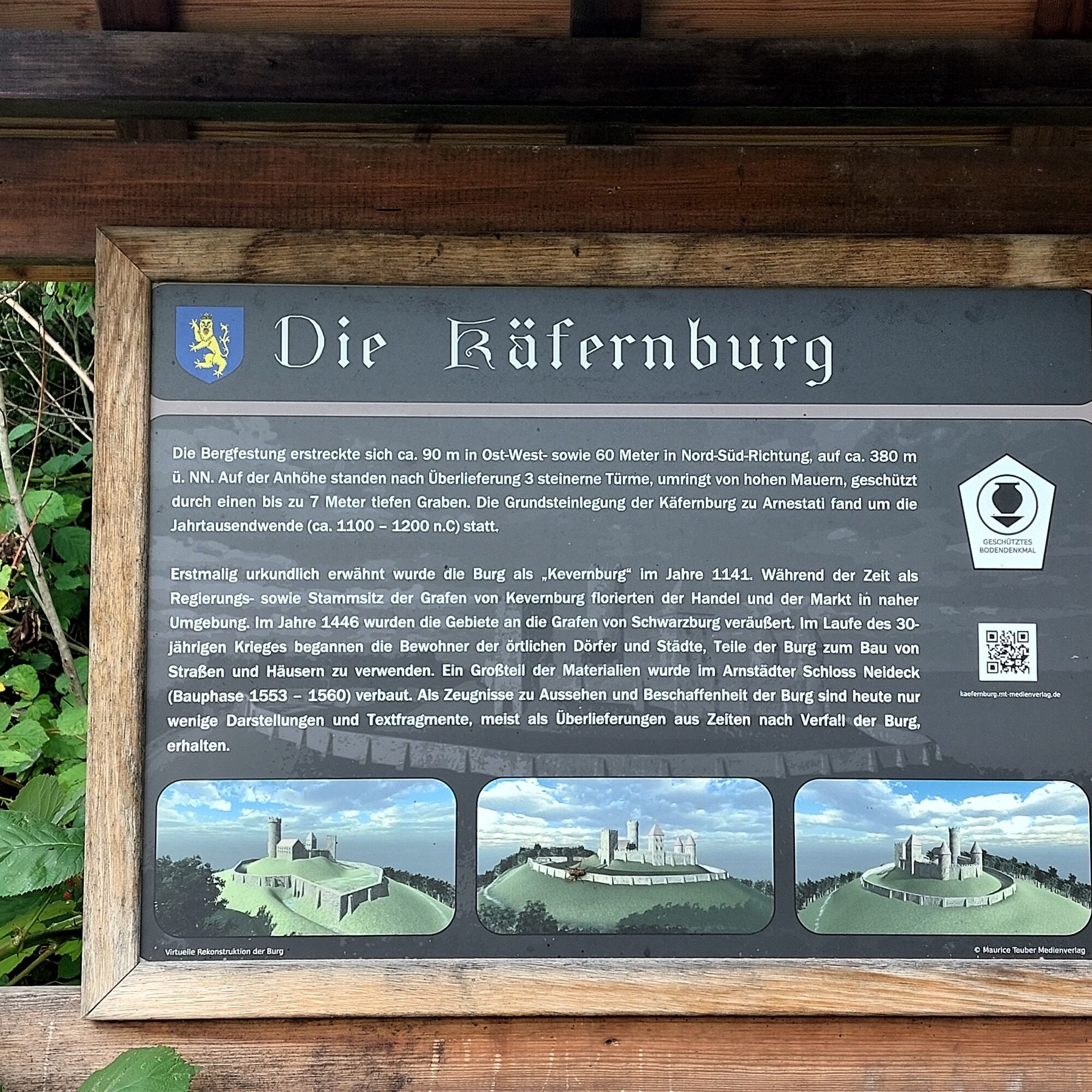
After the nature reserve, a small castle hill is reached. The Käfernburg once stood here. It was first mentioned in 1141 and came into the possession of the Counts of Schwarzburg in 1446. Only the former ramparts of the castle are still recognizable.
Via Oberndorf, the route leads back to the starting point of the hike.

The starting point is the Luther beech. This is the junction of the stages
Erfurt-Arnstadt Arnstadt - Paulinzella Arnstadt - Gothaof the Thuringian Luther Trail and is the beginning of a small hiking path to the wedding church of Johann Sebastian Bach in Dornheim. The Luther trails are marked with the trail marker "Luther L".
The Luther beech is also crossed by the Pilgrimage route from Erfurt to Nuremberg as well as the Gera cycle path. The path is signposted with the waymark "pilgrim's shell".
The joint route of the Luther and Pilgrimage paths runs parallel to the course of the Gera river towards Ichtershausen. This is followed until the crossing of the street "Bierweg". There the riverbank of the Gera changes and a natural path is followed.
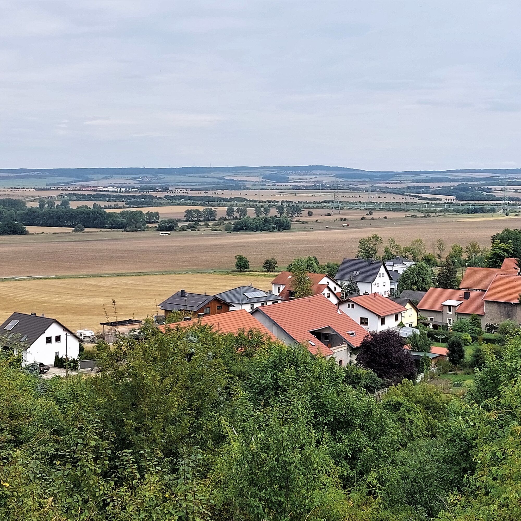
Upon reaching the district of Rudisleben, the "Arnstädter Straße" is crossed and then the road "Zur Voigtsmühle" is followed half-left. In this area, there is an impressive pasture landscape on the right side.
After the Voigtsmühle, the road section ends and a natural path is followed. After about 300 meters the "Greßler" is reached. This is a former gravel pond, which was operated by the former Greßler construction company from about 1920 to 1976. In the meantime, the pond has become a small recreational area and a secret tip for algae enthusiasts.
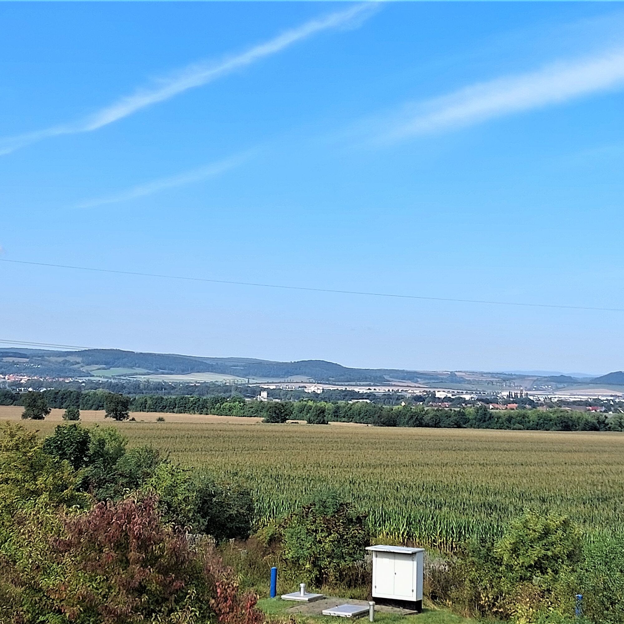
From the former gravel pit, the path continues towards Ichtershausen. In the section there was a former railway line from Arnstadt to Ichtershausen. This line started operation in 1885. After the Second World War, train traffic was reduced until passenger traffic was completely discontinued in 1962. The tracks were dismantled. The former track area is barely visible in the landscape.
Between the Greßler and the town area there is a pronounced floodplain forest landscape. At the immediate boundary between Arnstadt and Ichtershausen, boundary stones can be found. They reflect the small-state system in Thuringia and mark the border between the Duchy of Gotha and the Principality of Schwarzburg-Sondershausen.
Immediately at the town boundary of Ichtershausen, the path runs almost in the opposite direction to the Gera. From there to the entrance to Rudisleben, the Luther and Pilgrimage paths as well as the Gera cycle path are followed.
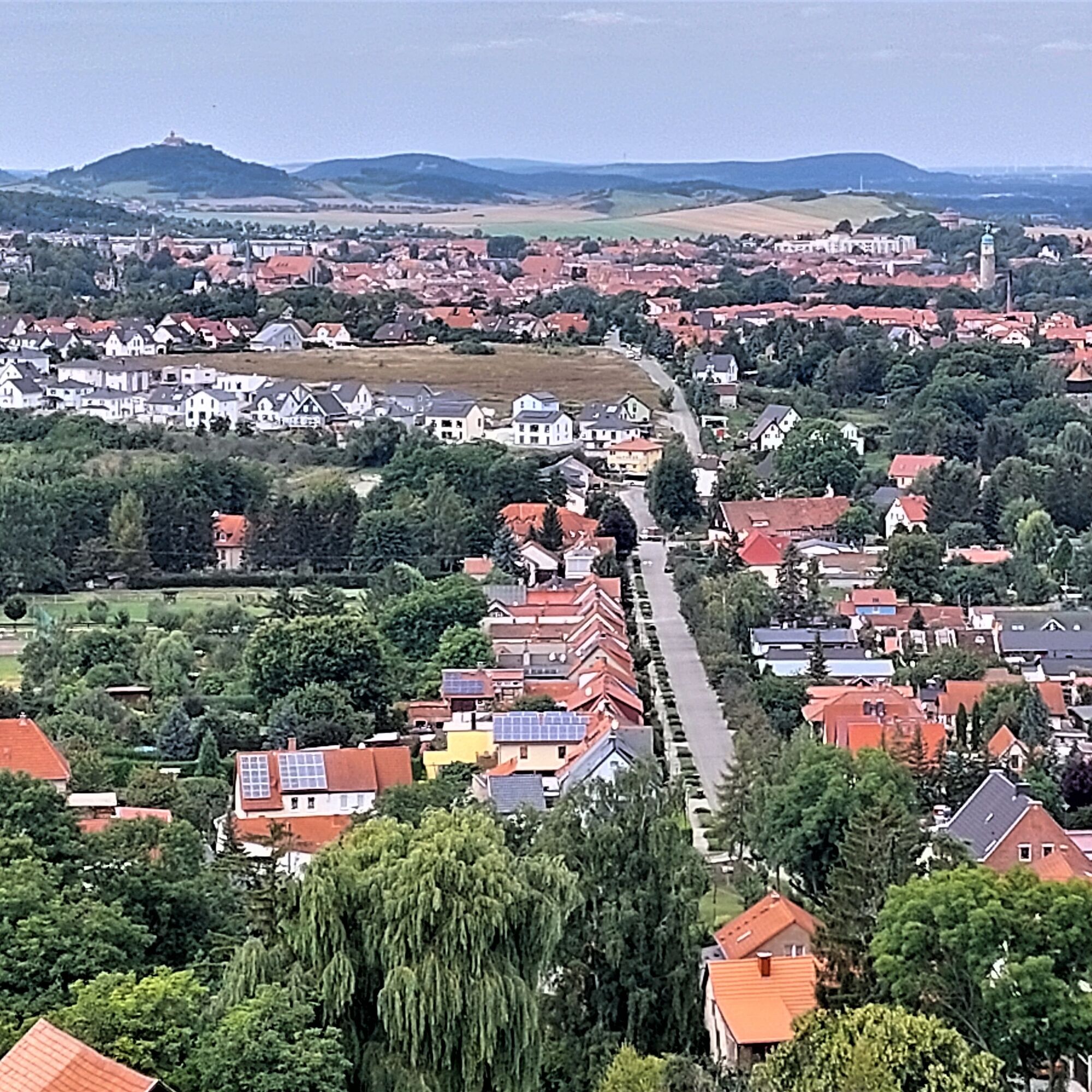
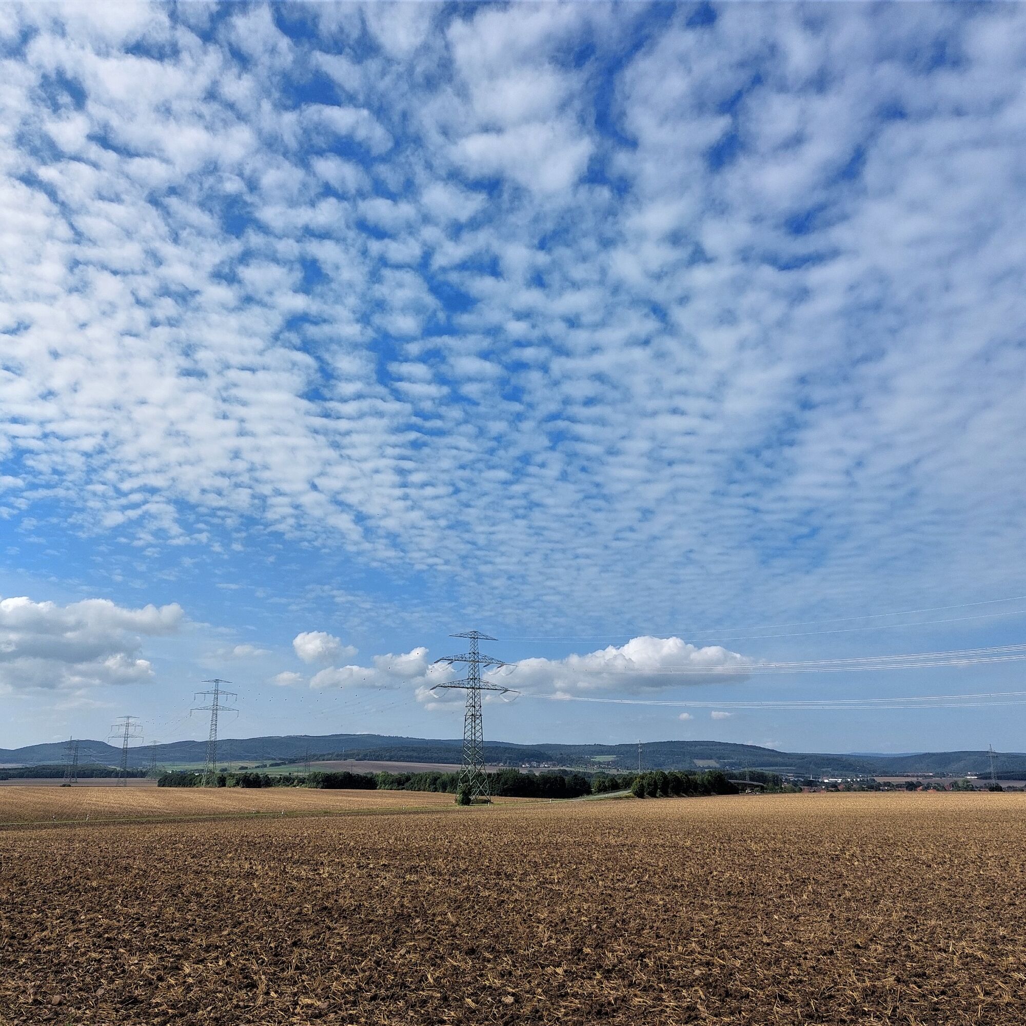
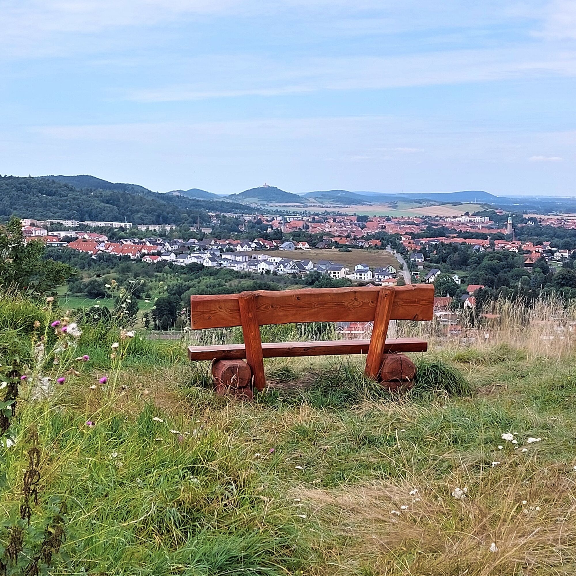
Upon reaching Rudisleben, the signed paths are left. The street "Am Rasen" is followed eastwards, the main road is crossed, and the path continues towards the A71 motorway and the ICE line. After Rudisleben, the route enters an agriculturally shaped landscape. Worthwhile panoramic views to Erfurt, the Riechheimer Berg, the foothills of the Thuringian Forest, and the Drei-Gleichen area are available.
After crossing the ICE line and the motorway, about 1 km is walked northwards before turning sharply right onto Napoleonsweg. The name Napoleonsweg refers to the time when Napoleon's troops were stationed in Erfurt. After another kilometer, a fork in the path is reached. In this area, there is a seating area with two benches and a table. Next to the seating area is a prominent stone. This stone found its place during a land consolidation process and work on the paths. It has no historical background. According to tradition, the path here was an old trade route. Hidden somewhat in the underbrush is a historical boundary stone. This points to a former border between the Kingdom of Prussia and the Principality of Schwarzburg-Sondershausen.
The Napoleonsweg is followed until crossing the L 1060. There the path turns half-left onto a natural meadow path heading towards Ettischleben.
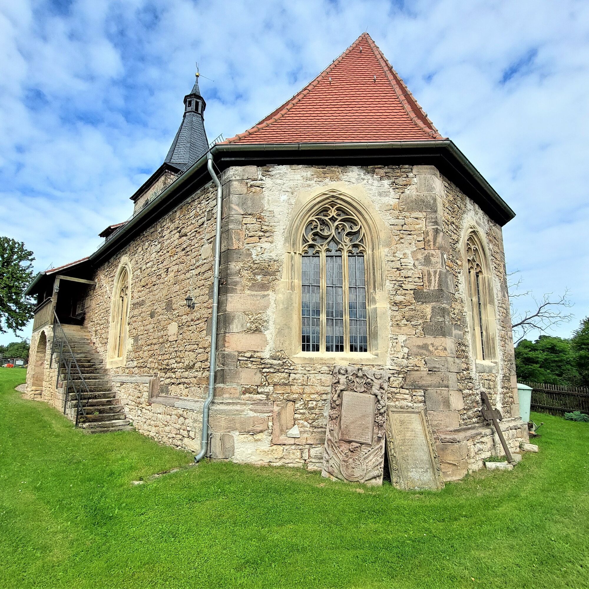
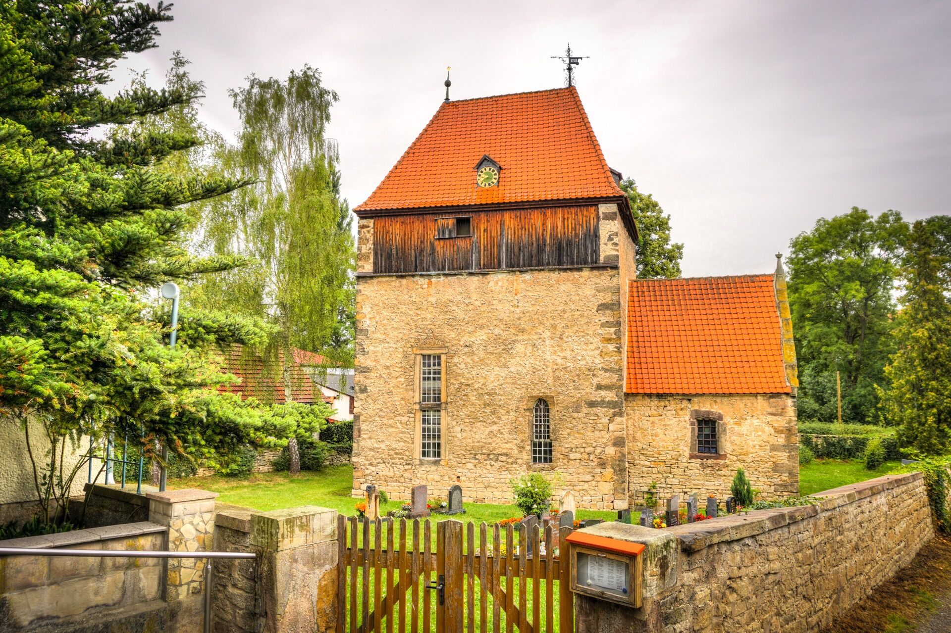
At the entrance to Ettischleben on the left is the evangelical village church St. Cyriakus. Already in the 12th century, a Romanesque village chapel stood there. The church received its current shape after renovation in 1508.
From Ettischleben, the route follows the Wipfra valley upstream through pasture landscapes.
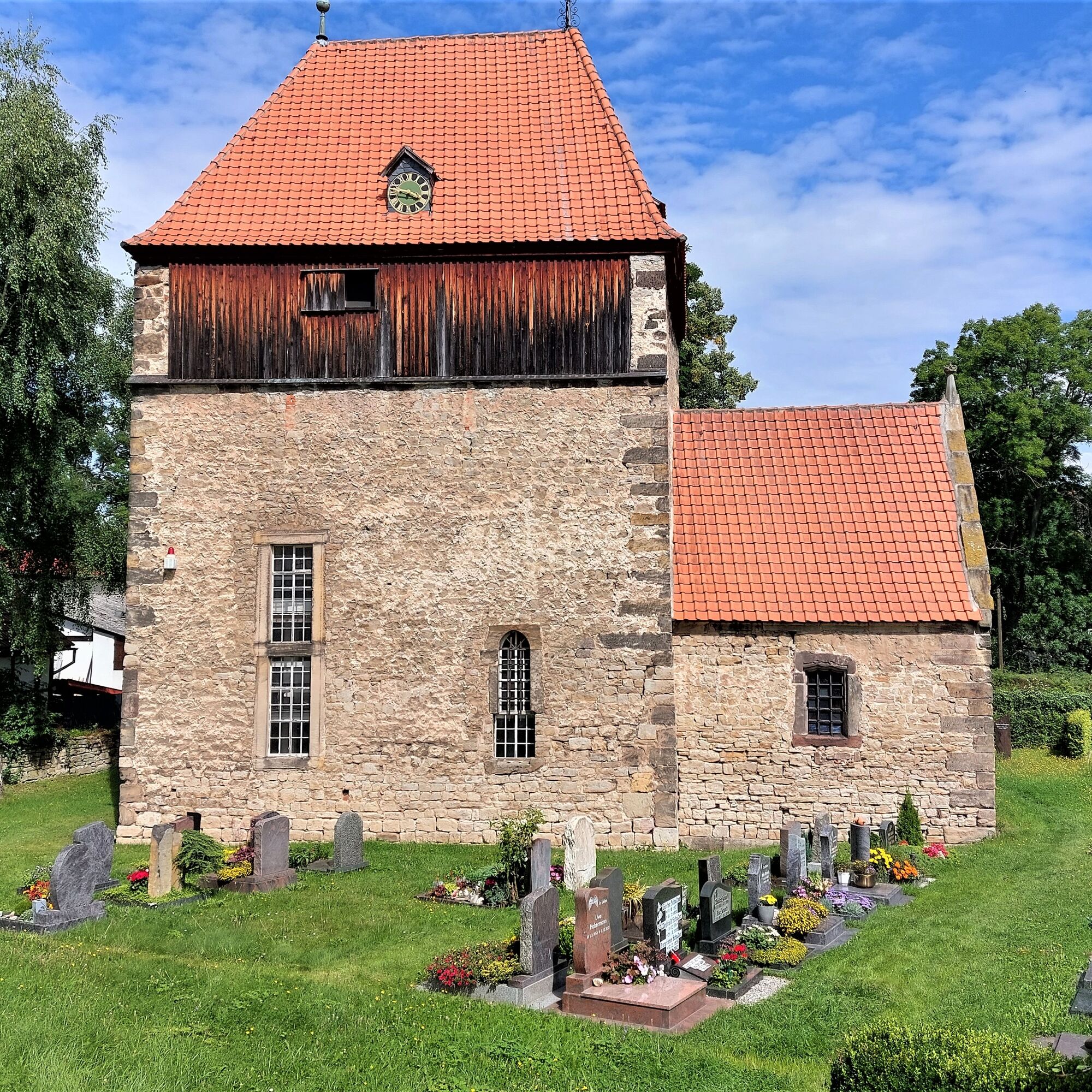
After about 2 km the district of Marlishausen is reached. In the center is the Anger, a central village square. There is a seating area with 4 benches and a stone table. The village itself was first mentioned in documents in 779 and is thus one of the oldest places in East Germany. Remarkable is the village church St. Peter and Paul.
The Wipfra valley is followed further to Hausen. There the Luther and Pilgrimage paths are met again. These are followed towards Arnstadt.
After Hausen, the A 71 motorway and the ICE line are crossed again, and our route leads to the Hain nature reserve. This nature reserve has an area of 102 hectares and is a shield-shaped elevation in the Keuper.
On the north side of the reserve is the former castle complex of the Käfernburg. It was built around the turn of the millennium and was first mentioned in 1141. With the extinction of the count family of Käfernburg, the castle lost its importance and during the Thirty Years' War, began to decay and dismantle. Only the mighty and partly up to 7 meters deep moats can still be recognized.
From the Käfernburg, the path leads in a large arc back to the starting point of the route.
General hiking equipment is recommended. Due to the lack of catering facilities along the route, provisions should be carried.
The hike is mostly flat but 25.6 km long. Appropriate fitness is required.
Arnstadt is located at the motorway interchange "Erfurt Kreuz" of the A 4 and A 71 and has several motorway exits.
Arrival by train to Arnstadt main station, about 2 km walk from the main station to Luther beech
Arrival by train to Arnstadt South station, about 2 km walk from South station to Luther beech
Arrival is possible by bus to the main station, bus station, as well as to the bus stop "Am Friedhof" (city line) in the immediate vicinity of Luther beech.
Parking in the area of the cemetery (near the Luther beech) is possible with restrictions.
This route was created by the Arnstadt Hiking and Leisure Association e.V. and can be guided if needed. There is no continuous signage or marking.
There is no tourist contribution from the municipality to this circular hiking trail. Only information from information boards along the route, the knowledge of the hiking guides, or internet research was used.
The floodplain landscape along the Gera is worth seeing and receives little tourist attention.
Oblíbené prohlídky v okolí
- 4.4
Circular route - Around the Heyda Dam - Thuringian Forest
středníTuristika 7.59 km - 4.0
Arnstadt - Bittstadt - Holzhausen - Haarhausen
středníTuristika 20.1 km - 4.0
Bach-Rad-Erlebnisroute
středníJízda na kole 64.5 km „Auf den Spuren starker Frauen" - Pilgern in Thüringen
středníPoutní stezka 54 km„Von Bach zu Goethe"
středníTuristika 32 km- 5.0
Grafen cycle route Drei Gleichen – circular route – Mühlberg
světloJízda na kole 21.1 km - 5.0
Kleinbreitenbach Art Walking Route
světloTematická stezka 2.88 km Circular hiking trail - Arnstadt - Jungfernsprung - Alteburg
středníTuristika 10.7 km- 4.5
GeoRoute 2 - "Panorama Route" - UNESCO Global Geopark Thüringen Inselsberg - Drei Gleichen
světloTematická stezka 18.2 km GeoRoute 3 - "Castle Route" - UNESCO Global Geopark Thuringia Inselsberg - Drei Gleichen
středníTematická stezka 30.4 km

Pěší turistika a stopování


Nenechte si ujít nabídky a inspiraci pro vaši příští dovolenou
Vaše e-mailová adresa byl přidán do poštovního seznamu.