







Feldatal cycle path from Dorndorf to Fladungen
Úroveň obtížnosti: 3
Bike ride from Dorndorf via Stadtlengsfeld, Weilar, Dermbach, Kaltennordheim, Kaltensundheim to Fladungen.

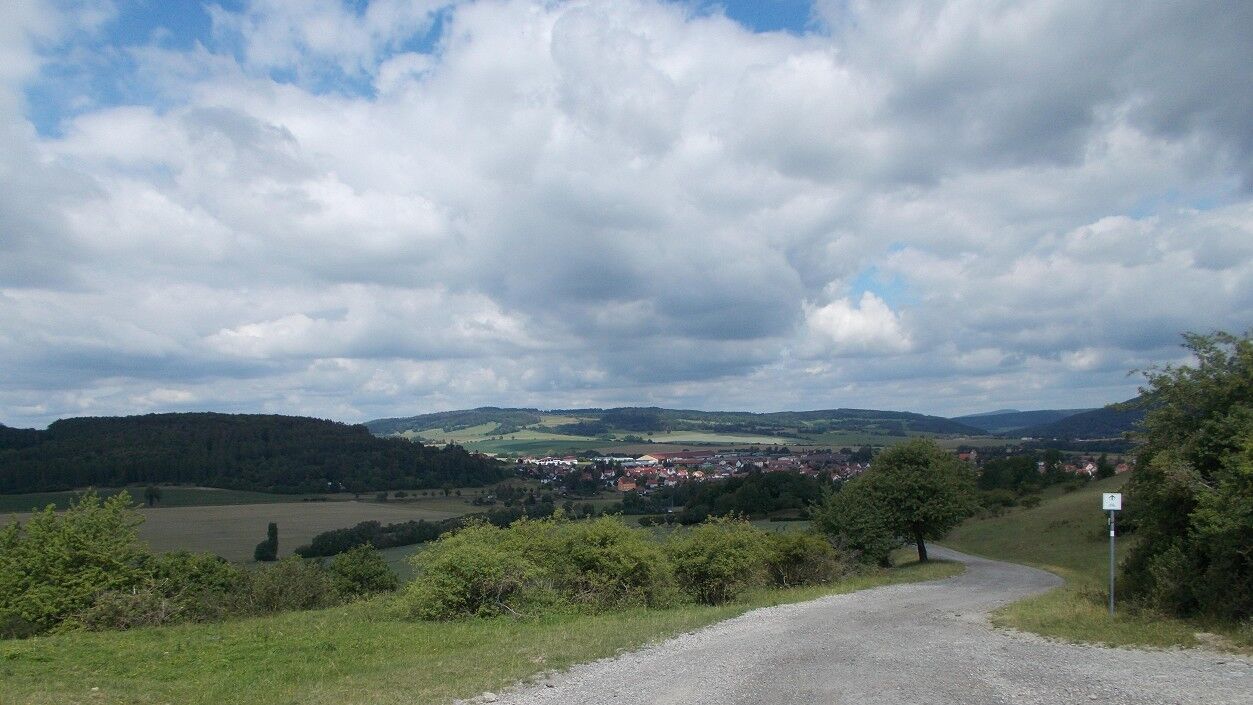
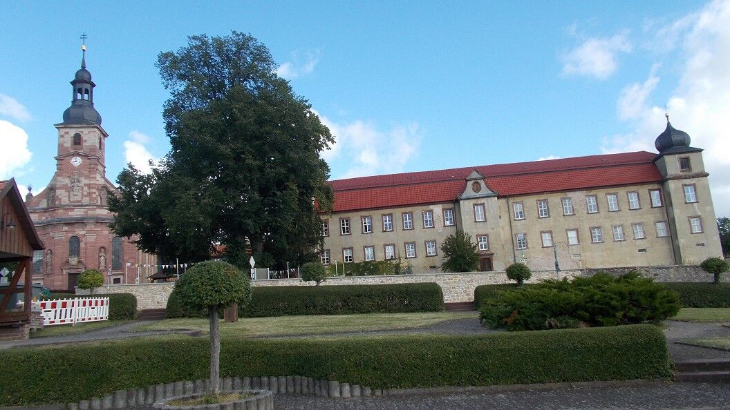
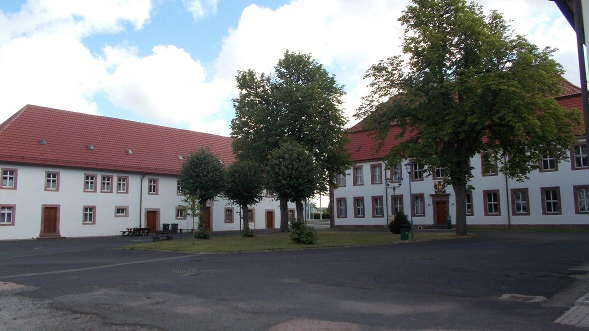
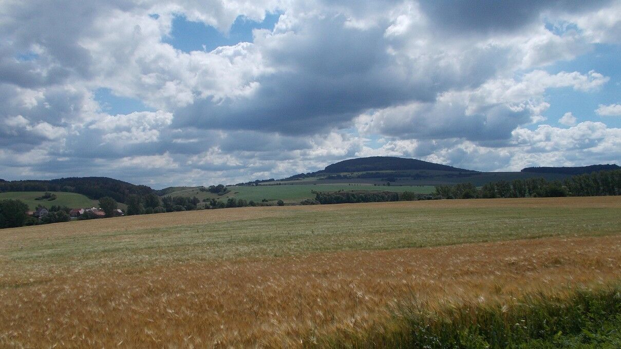
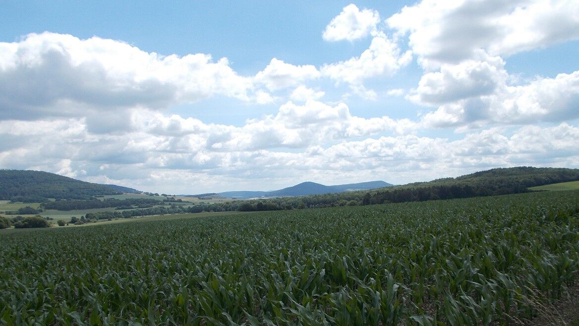
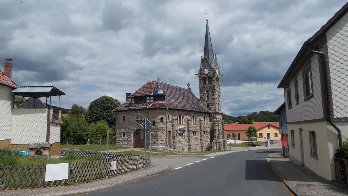
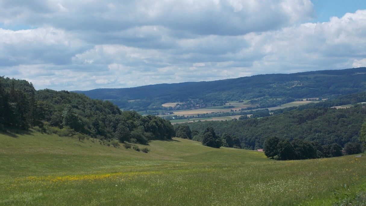
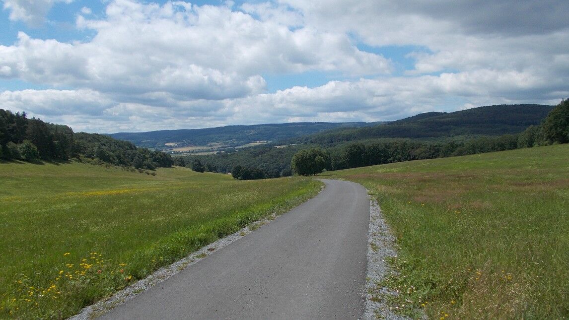
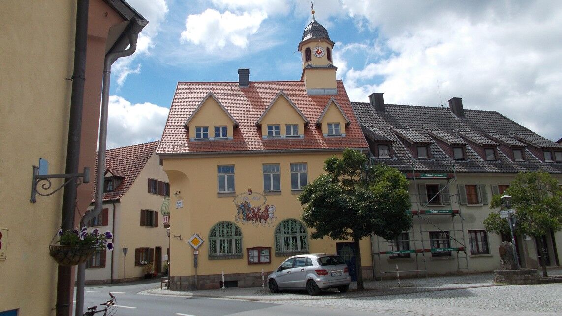
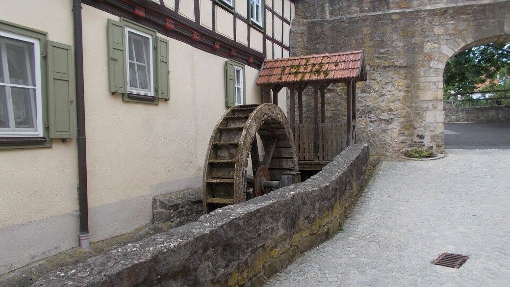
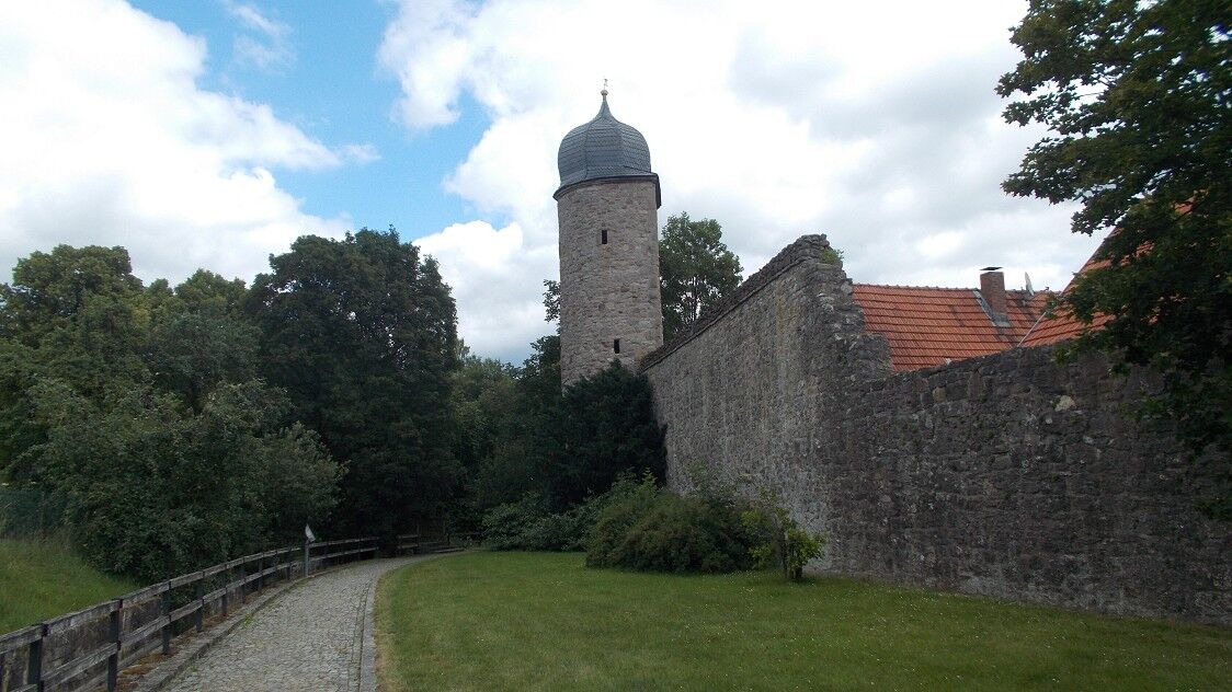

The Feldatal cycle path begins at the end of the Felda valley, where the river Felda flows into the Werra. The bike ride follows the idyllic river valley, past beautiful nature, wide mountain landscapes, and historic town centers. From Dorndorf to Weilar, the route runs parallel to the track of the former Felda railway; from Weilar, the route mainly follows the track until Kaltennordheim. From Dorndorf to Kaltennordheim, there are many different tourist offers. Dermbach impresses with its castle, as well as the baroque church and its museum. There are also accommodation options and local gastronomy. The route passes the village of Zella with the impressive provost and baroque church. Then comes the somewhat hidden village of Empfertshausen, also called the woodcarver's village, which is known far beyond the borders through its woodcarving school. There is also much to see in Kaltennordheim, such as the historic town center with its castle. Here, too, there are places to eat and accommodation options. Kaltennordheim is also known for its historic marriage market at Pentecost. After Kaltennordheim, you pass through Kaltsundheim; from here, you leave the Felda valley and climb up to Struthberg towards Bavaria. Unfortunately, the path from Kaltsundheim up to the mountain Struthberg (approx. 8 km) is no longer paved, only again on the mountain until Fladungen. Once arrived in the historic town, there is much to see, and you can also enjoy places to eat and accommodation.
There are sections with loose gravel where you should ride carefully.
From federal highways B62 or B84 to Dorndorf, then a few meters towards Kaltennordheim on L1011, the starting point is at the railway crossing.
By bus from the direction of Bad Salzungen or Bad Hersfeld (the bicycle must be registered with the bus company in advance).
3
The small museums in Dermbach, Kaltennordheim or in Fladungen are worth a visit. There are places to eat in Dermbach, Kaltennordheim, and Fladungen. If you like good ice cream, go to the Rhöner Ice Cream Factory in Dermbach, just a few meters from the cycle path.
Získejte přehled Vždy živě na místě s více než 9 500 webkamerami. bergfex Jako uživatel Pro si nyní můžete zobrazit odpovídající webové kamery pro mnoho prohlídek v aplikaci prohlídky z. Můžete si tak přímo prohlédnout aktuální podmínky. Oblíbené prohlídky v okolí
Dr. Malade - Rhön - Circular route - Hohe Geba
středníTuristika 8.34 kmCircular route - In the Footsteps of the Old Knights to Frankenburg - Breitungen
středníTuristika 14.3 kmCycle path - Rosatal cycle path - Wernshausen to Weilar - Thuringian Forest
středníJízda na kole 21.8 kmGreen-Belt-Thuringia
heavyTuristika 699.9 kmHike - "On the Milseburgweg" - Meiningen-Thuringian Rhönhaus
heavyTuristika 34.8 kmHike from Dietlas to Bad Salzungen via the Hochrhöner
heavyTuristika 42.7 kmHike to Umpfen
heavyTuristika 25.6 kmLong circular hike around the Salzkopf
středníTuristika 18.7 kmPoint-to-point hike to Gläser
středníTuristika 23.8 kmCircular hike to Baier
heavyTuristika 27.2 km

Pěší turistika a stopování


Nenechte si ujít nabídky a inspiraci pro vaši příští dovolenou
Vaše e-mailová adresa byl přidán do poštovního seznamu.





