







Hike from Dietlas to Bad Salzungen via the Hochrhöner

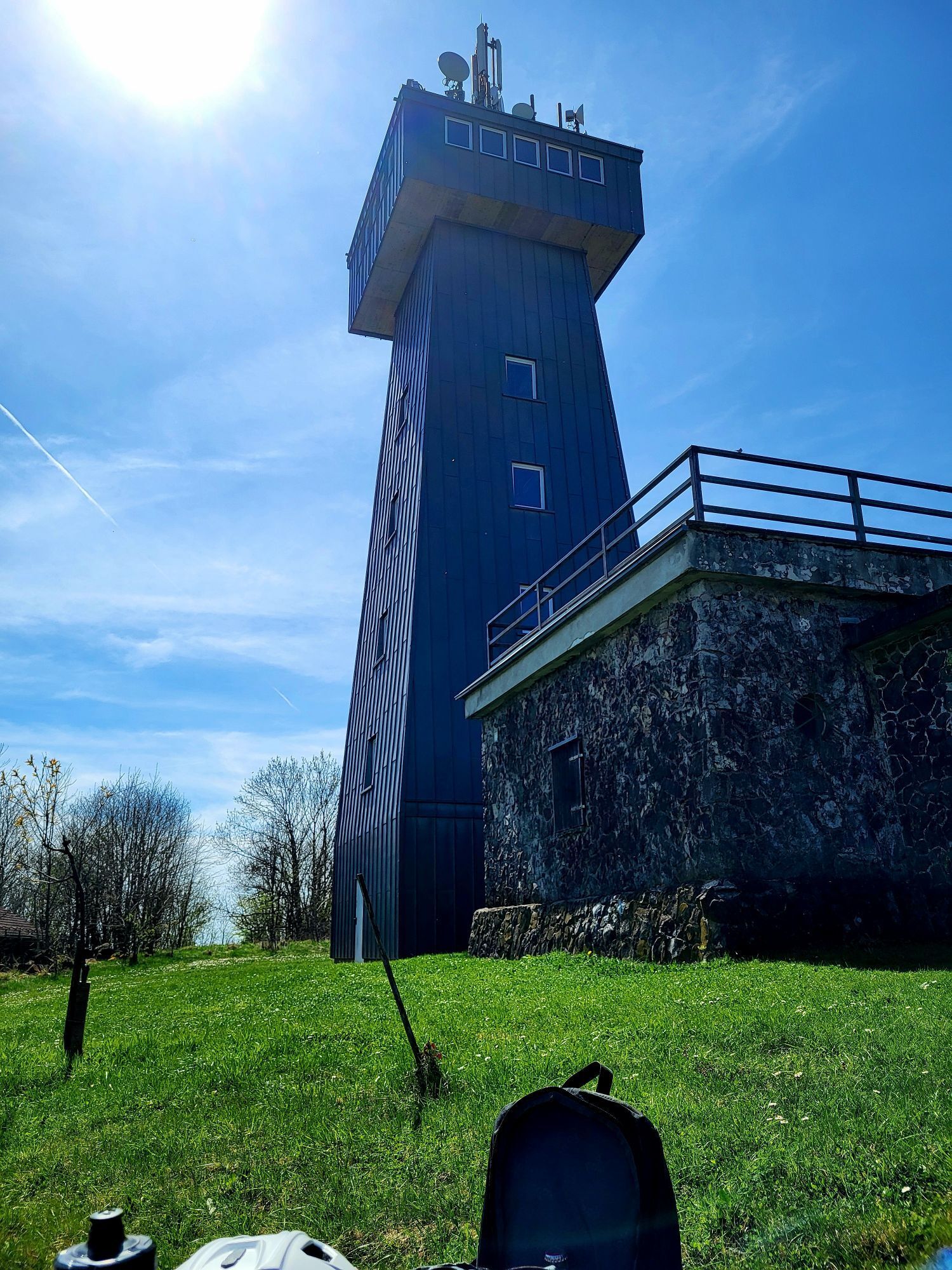
The hike starts in Dietlas to Dermbach, then the path runs mostly along a premium trail, the "Hochrhöner". Very rich in views is the nature mainly from the viewing tower "Pleß" as well as sights in Dermbach...
The hike starts in Dietlas to Dermbach, then the path runs mostly along a premium trail, the "Hochrhöner". Very rich in views is the nature mainly from the viewing tower "Pleß" as well as sights in Dermbach and Bad Salzungen, as well as a geological highlight, the Bernshäuser Kutte. Due to the development of the path, there are many resting places and gastronomy along the way.

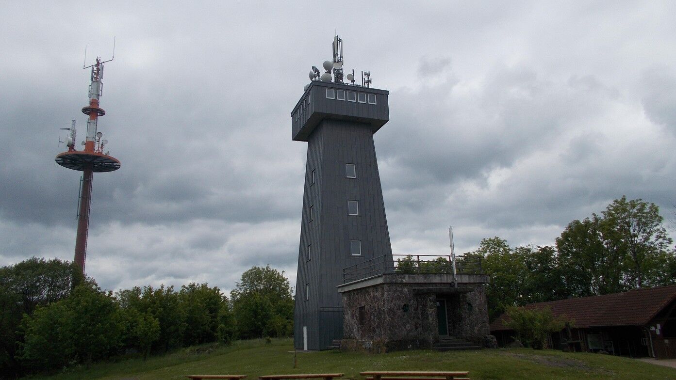
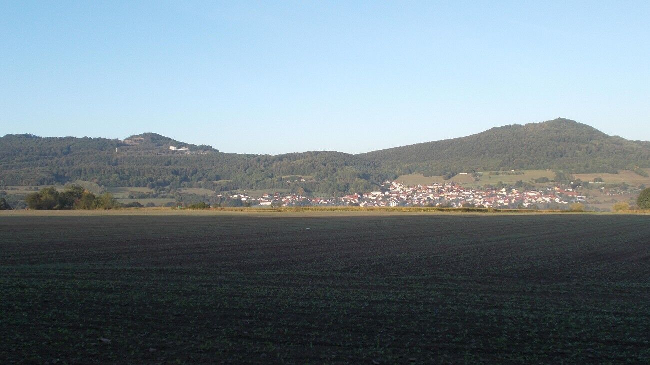
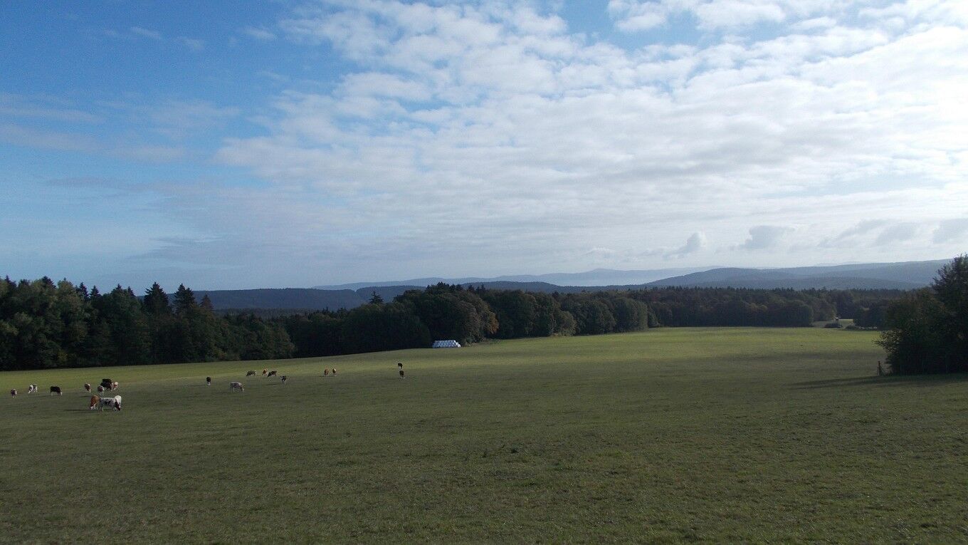
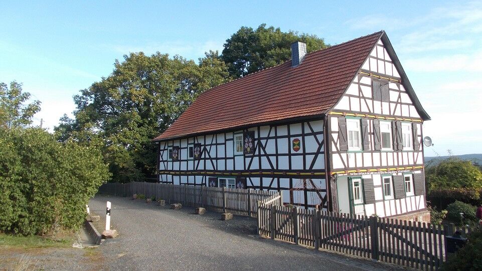
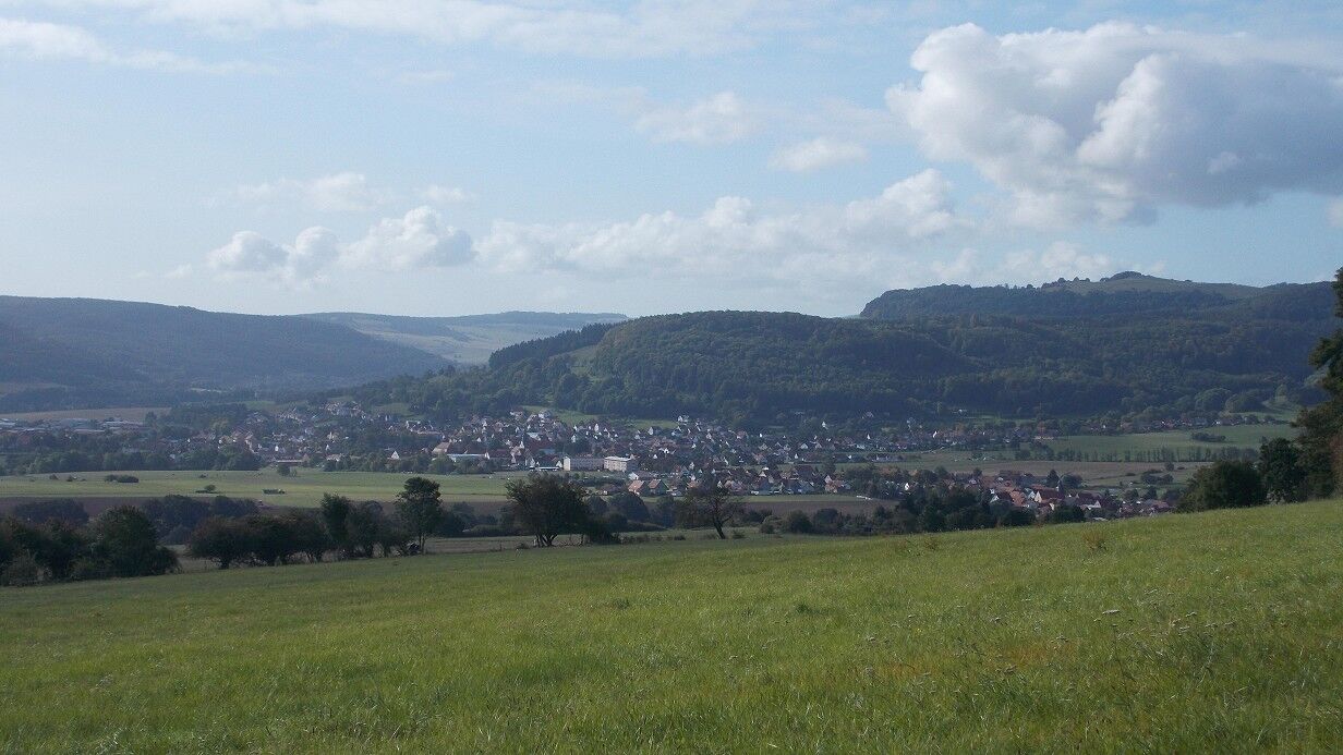
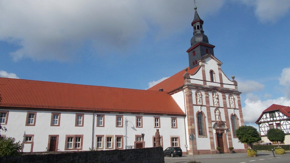
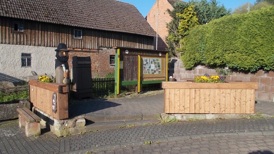
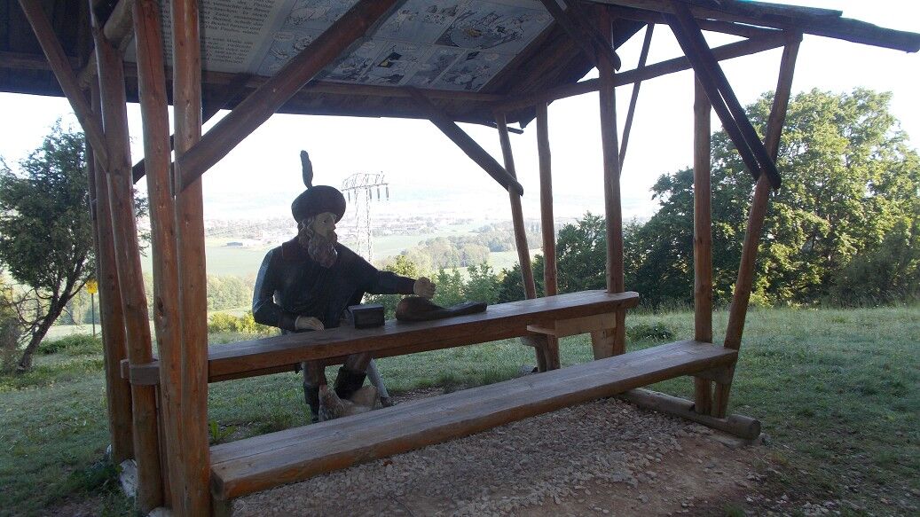
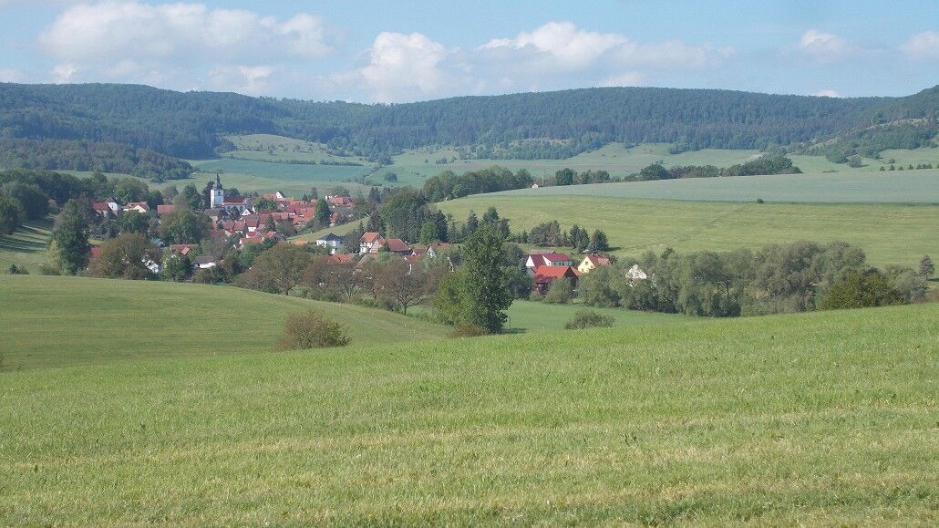
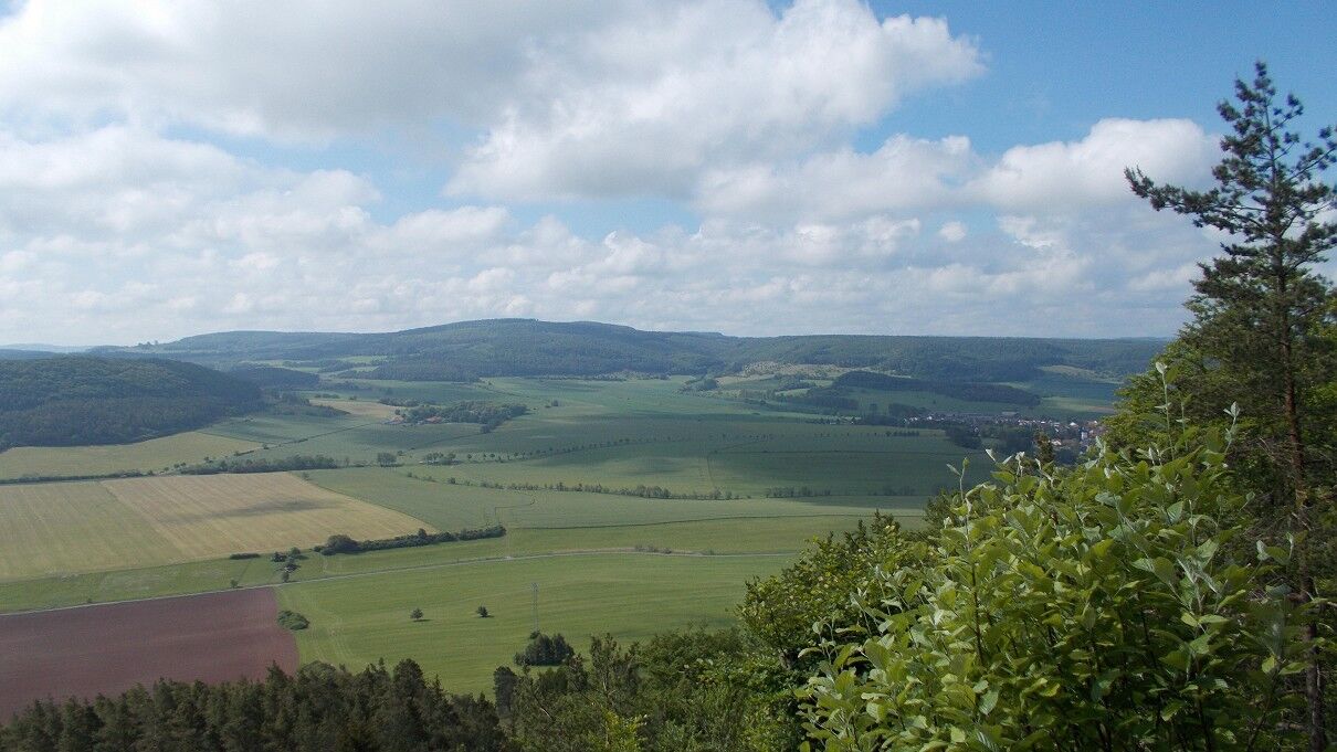
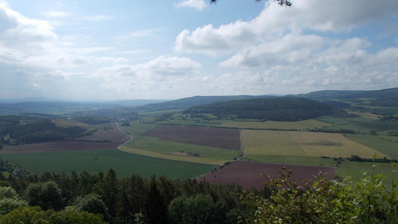
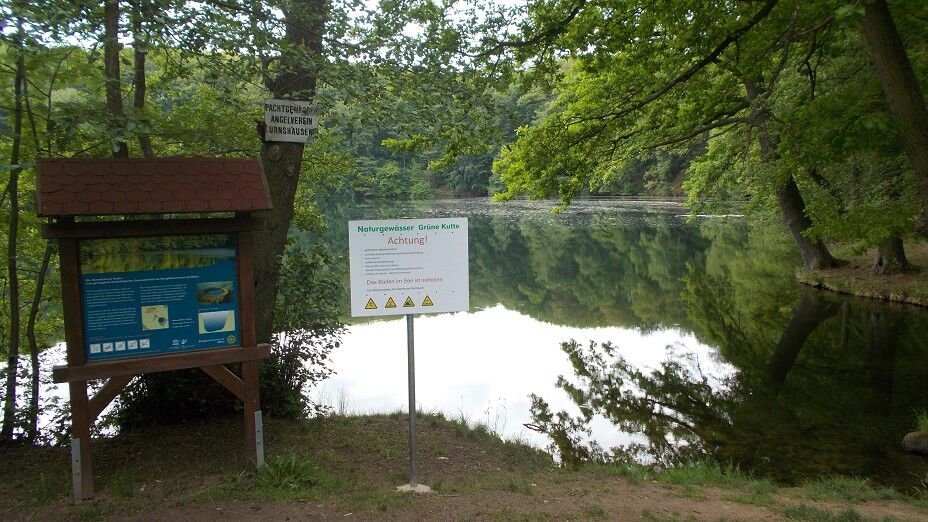
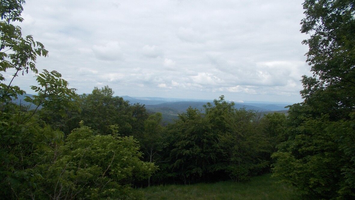
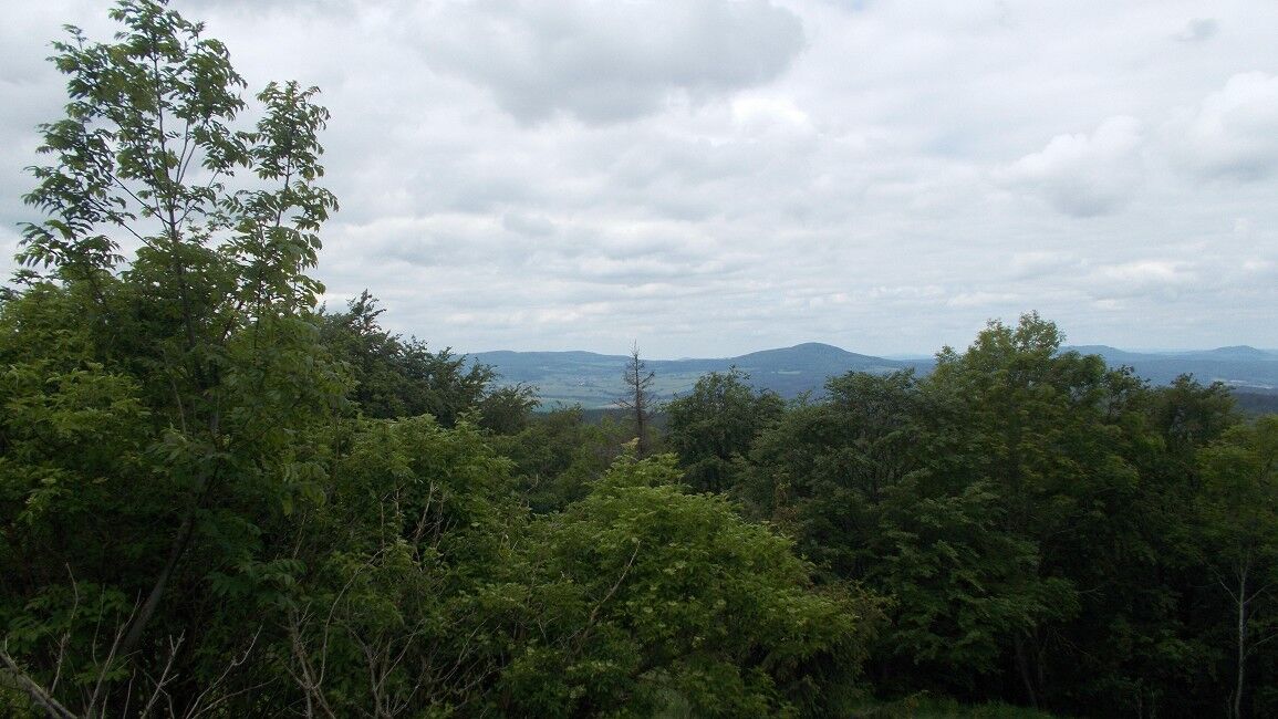
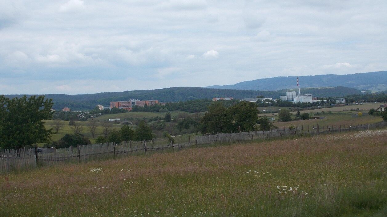

The hike starts in Dietlas in the village centre at the lime tree. We follow the hiking marker (EH) to Martinroda. This is the first strenuous ascent. Then the path runs more pleasantly without major altitude differences to Baiershof. From Martinroda you can see far into the distance. You can see the mountains of the Rhön and the Kaliberge. Then it continues from Martinroda in the direction of Hohenwart. Here you switch from the hiking marker (EH) to the red angle. After passing the small village "Hohenwart", cross the main road and then continue on the paved forest path towards Baiershof. After about 9.7 km, we pass the Fischbachslinde, where there is also a shelter for a rest. It is not far from here to the hiking hostel at Baier, which also serves guests with homemade cakes and bread on Sunday afternoons from spring to autumn. Then about 200 m to Baiershof. After the half-timbered house, continue straight to Dermbach. Upon arrival in the village, you can see the 2 churches and the castle, which today houses the municipal administration. There are also good restaurants in the village itself. In the village, you switch from the hiking mark red triangle to an „Õ“. This marker leads us from Dermbach to the neighbouring village Glattbach. Upon arrival in Glattbach, you find yourself on the premium trail “Hochrhöner”. In the village itself, there is a small seating area with a wooden figure. This wooden figure symbolizes the robber "Rhönpaulus", who caused mischief here and appears in many local legends. Behind the village, you cross the Felda river and enter the Yew Garden with its large population of yews. In the nature reserve "Ibengarten", the branches of old yews form a dark green tunnel that the hiker passes through. After the Ibengarten lies behind us, you come out above the village of Wiesenthal. The path now leads us around Wiesenthal onto the mountain "Horn". Before, most of the route must be walked on meadow paths. Once on the Horn, you have a very nice view of the villages Roßdorf and Wiesenthal. Then it goes downhill to Bernshausen, where you reach the Bernshäuser Kutte directly. The Kutte is a lake that owes its circular shape to a geological collapse. The path now leads us left past the lake. You reach a paved path that you follow up to a fork in the road, where there is also a large concrete basin. At this point, turn left and the path now goes directly into the forest again. Here you go in a wide arc around the Stoffelskuppe and reach the centuries-old Roßdorfer Landwehr. Ramparts and ditches can be seen clearly on both sides of the path. Now follow the path up to the Pleßberg. The new viewing tower on the Pleßberg towers over the crest with the flat Rhönklubhütte. This is also open on holidays and weekends. From here, it is mostly downhill. The hiker descends into the valley to Langenfeld; this path runs mostly parallel to the military training area, and it is important not to leave the path. After passing through Langenfeld, it goes downhill towards Bad Salzungen. From a distance, you can already see the Bad Salzungen clinic; you walk directly towards it. After passing under a road bridge, you reach a allotment garden. From here you go through the town of Bad Salzungen to the end point of our route, the bus stop at the old cemetery. In conclusion, this path is very beautiful in nature but also demanding in terms of stamina. Finally, you can still visit the town or the saltwater spa. It is advisable to do the route in two stages; the recommendation is to make a stopover in Bernshausen, as there is an option to stay overnight either in the youth hostel or in the country hotel.
Ano
Sturdy footwear and something to eat and drink is recommended.
Sturdy footwear for hiking, when descending from Pleß to Langenfeld stay on the hiking trail to avoid entering the Bundeswehr training area.
A visit to the museum in Dermbach and the sight of the 2 churches is very worthwhile as well as a visit to one of the restaurants with local cuisine. In the spa town of Bad Salzungen it is worth visiting the graduation tower or the saltwater spa.

Oblíbené prohlídky v okolí
-
4.0
Hiking - Stork Trail Bad Salzungen
světloTematická stezka 5.89 km -
Circular route - In the Footsteps of the Old Knights to Frankenburg - Breitungen
středníTuristika 14.3 km -
Werra Wasser Wandern 4: Bad Salzungen - Vacha
středníKajak / Kánoe 21.5 km -
Cycle path - Rosatal cycle path - Wernshausen to Weilar - Thuringian Forest
středníJízda na kole 21.8 km -
Long-distance hiking trail - Werra Castle Trail X5 - From Fehrenbach to Hann. Münden
heavydálková pěší trasa 386.9 km -
Thuringian long-distance cycle routes - 02 - Werratal Cycle Path - Stage 3: Meiningen → Bad Salzungen
středníCyklistika na velkou vzdálenost 44.2 km -
Circular hike to Krayenburg
středníTuristika 15.0 km -
Bike round trip - Great Viba route - Breitungen-Bad Liebenstein-Schmalkalden-Thuringian Forest
heavyJízda na kole 64.2 km -
Circular hike - city route - Bad Salzungen
světloTuristika 9.74 km -
5.0
BAD SALZUNGEN | Frankenstein-Tour
světloTuristika 10.9 km
Pěší turistika a stopování


Nenechte si ujít nabídky a inspiraci pro vaši příští dovolenou
Vaše e-mailová adresa byl přidán do poštovního seznamu.





