


Large Discovery Route Through the Werratal from Eisenach - Thuringia
Úroveň obtížnosti: 3
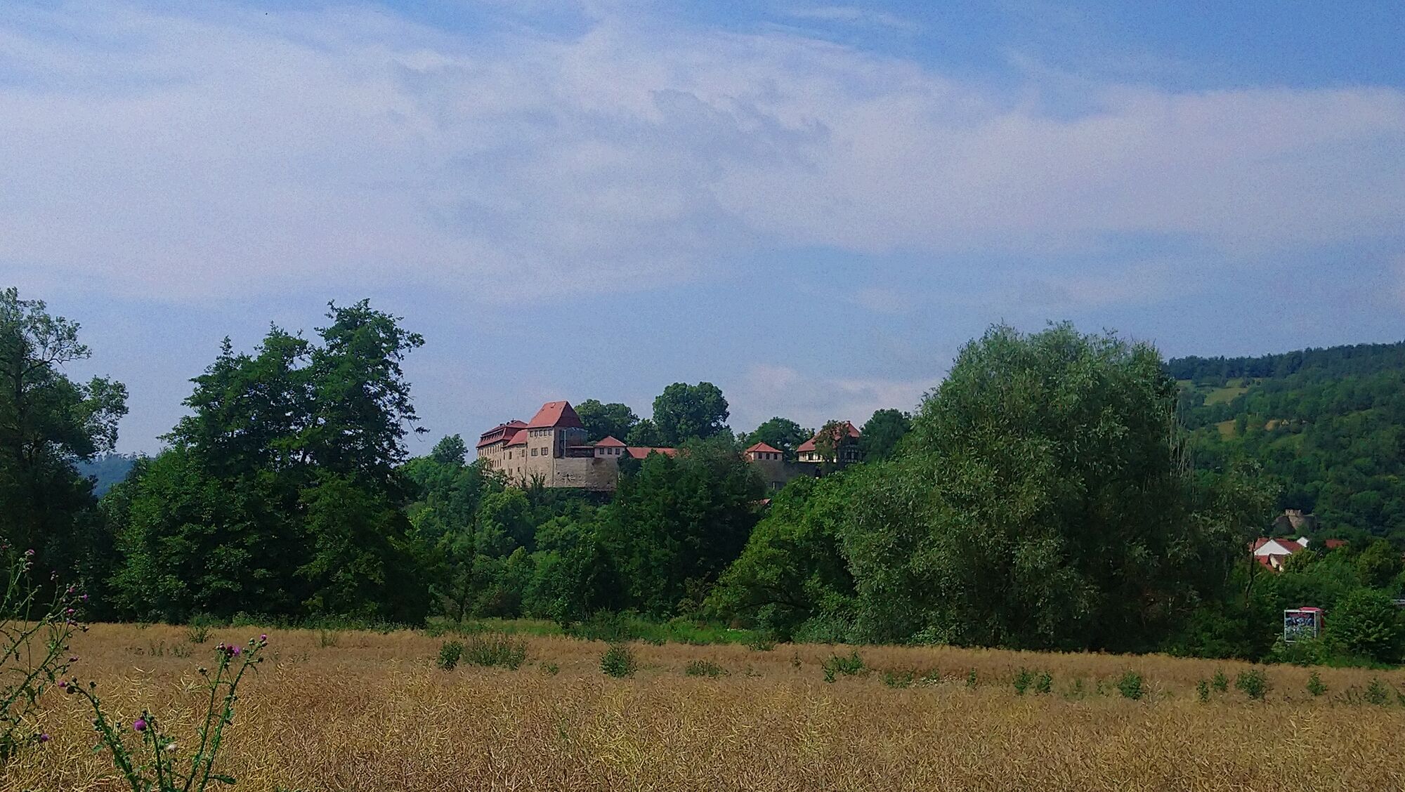
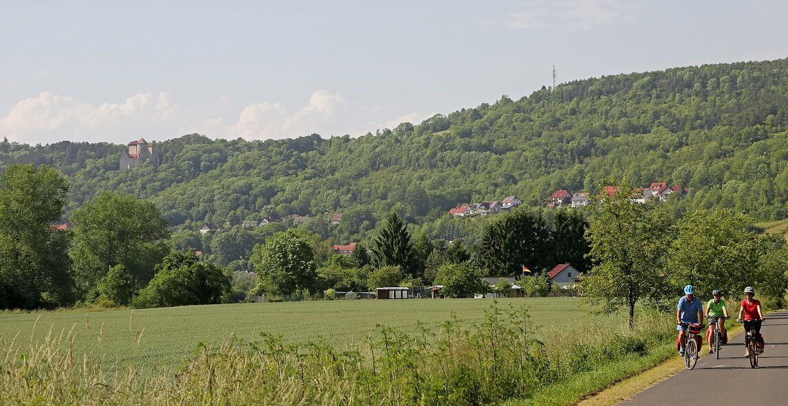
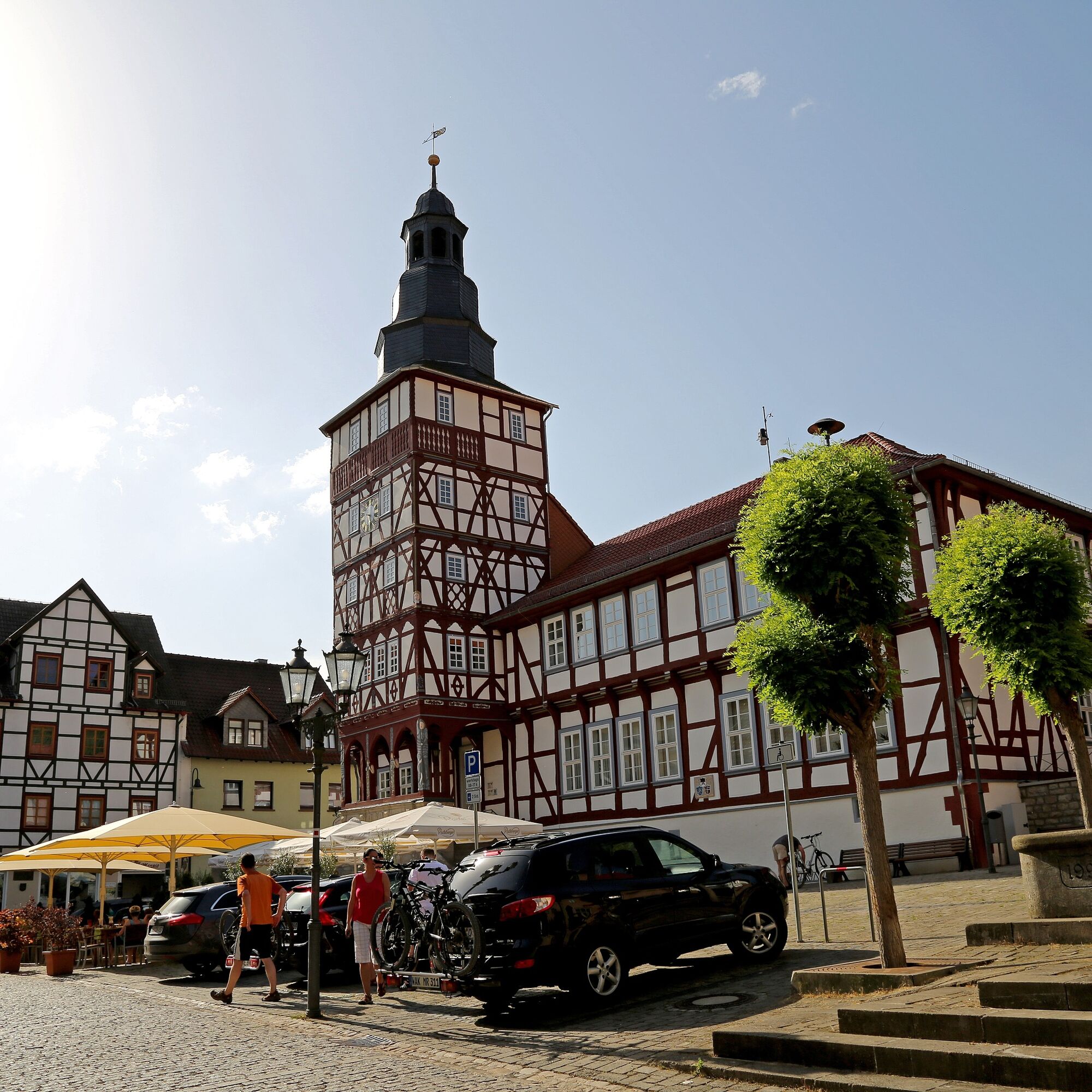
The route starts in Wartburg and Luther City Eisenach, touches the Hainich National Park and leads through one of the oldest towns of Thuringia, Creuzburg with the Creuzburg Castle. From here it continues...
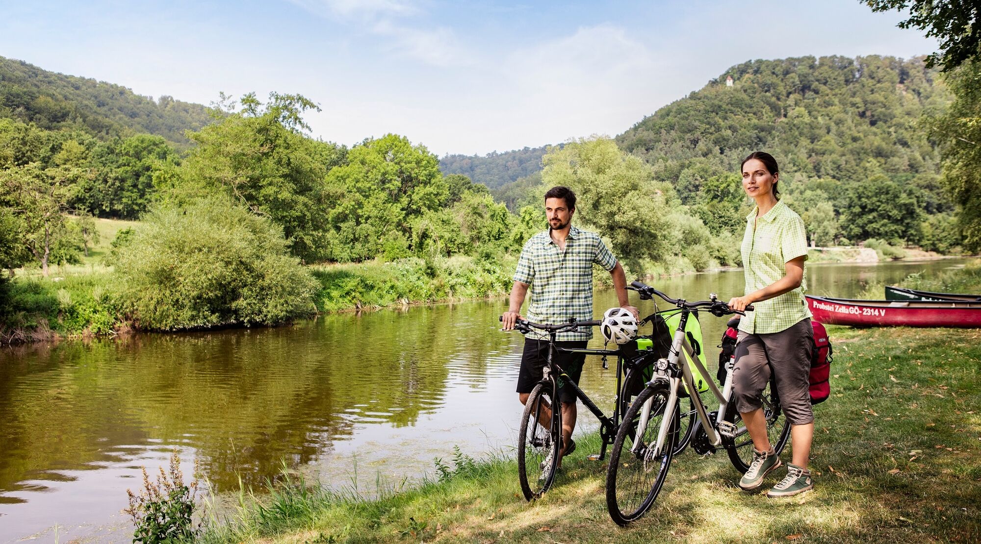
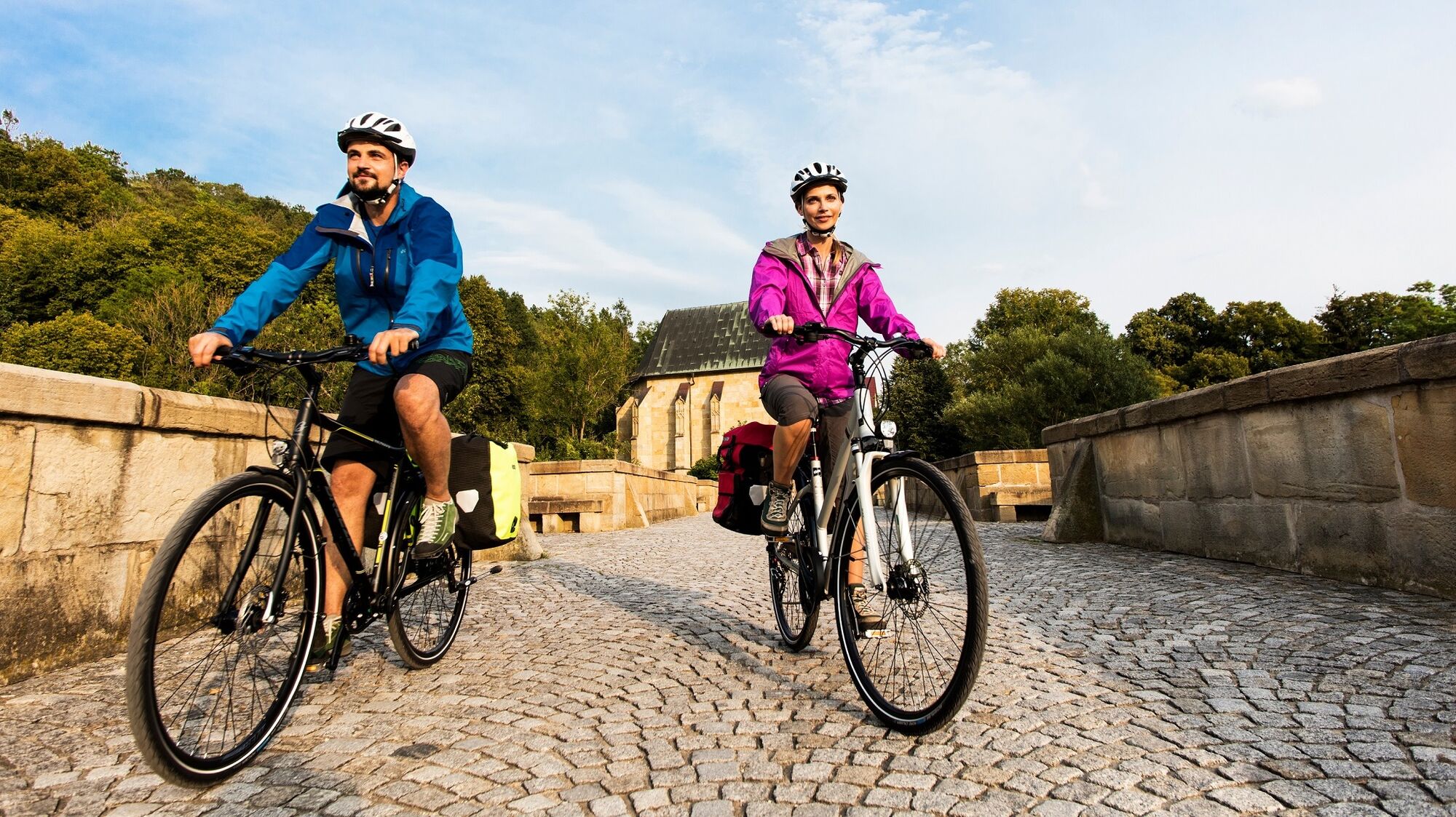
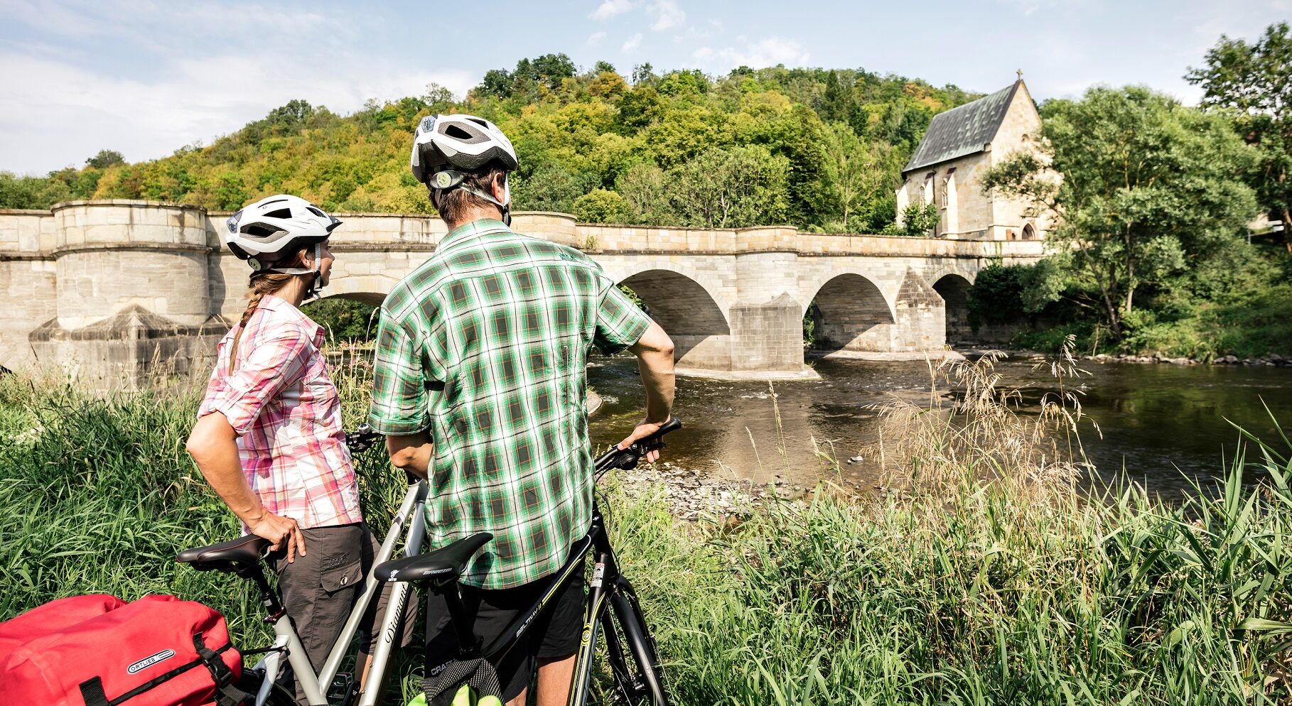
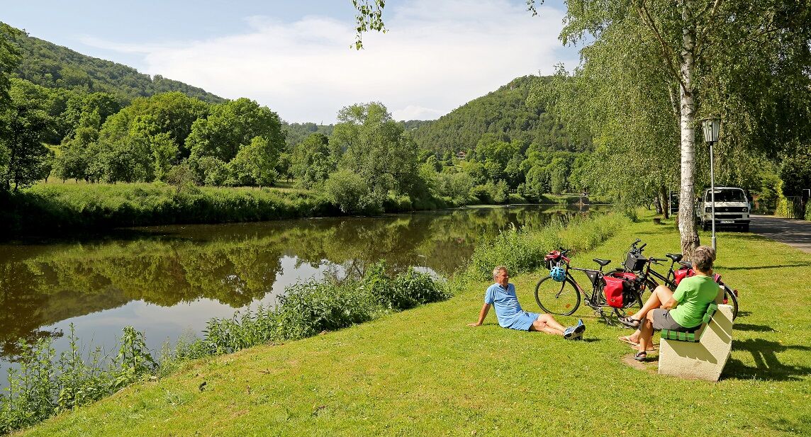
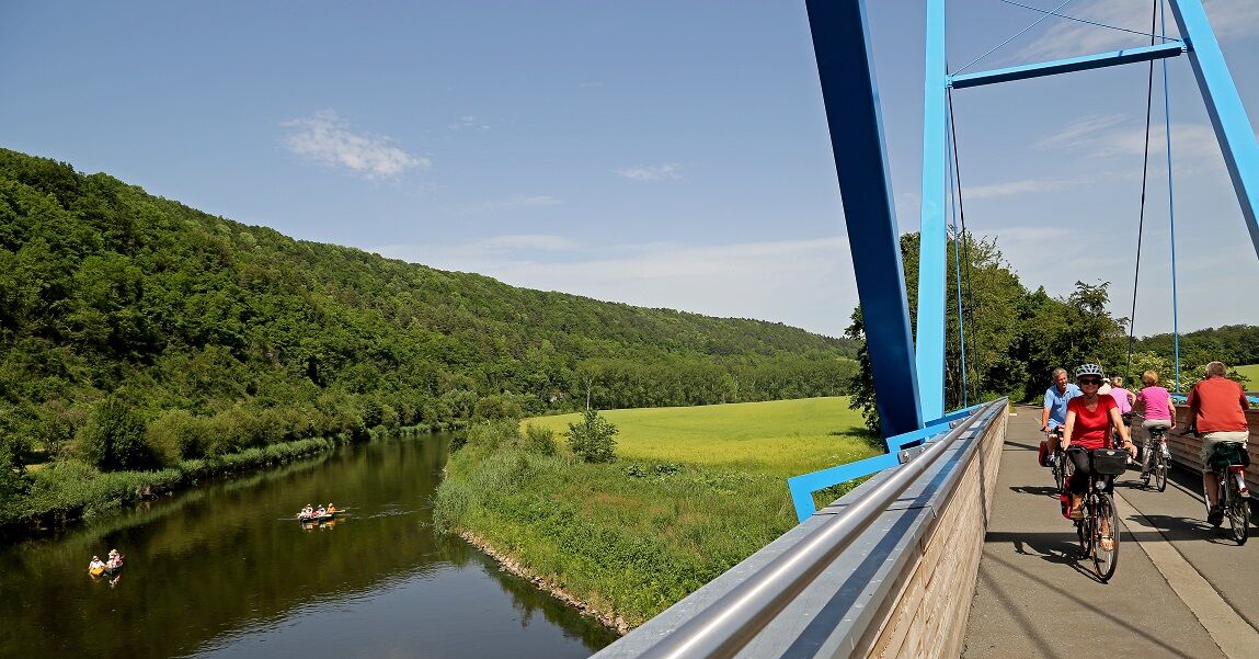
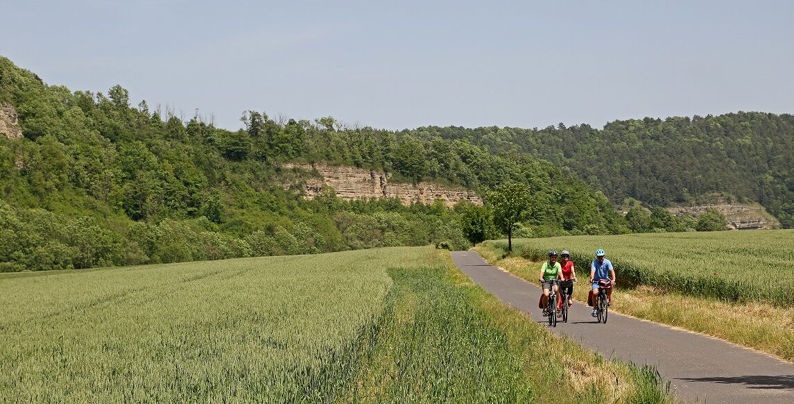
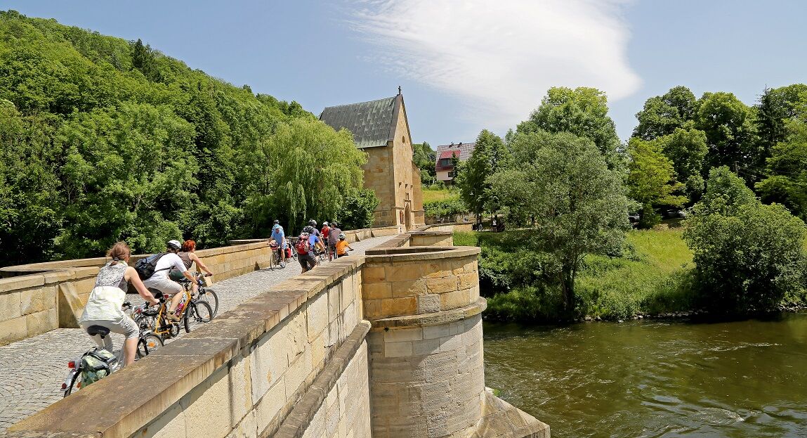
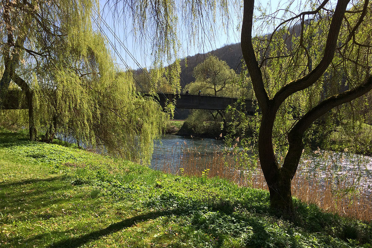
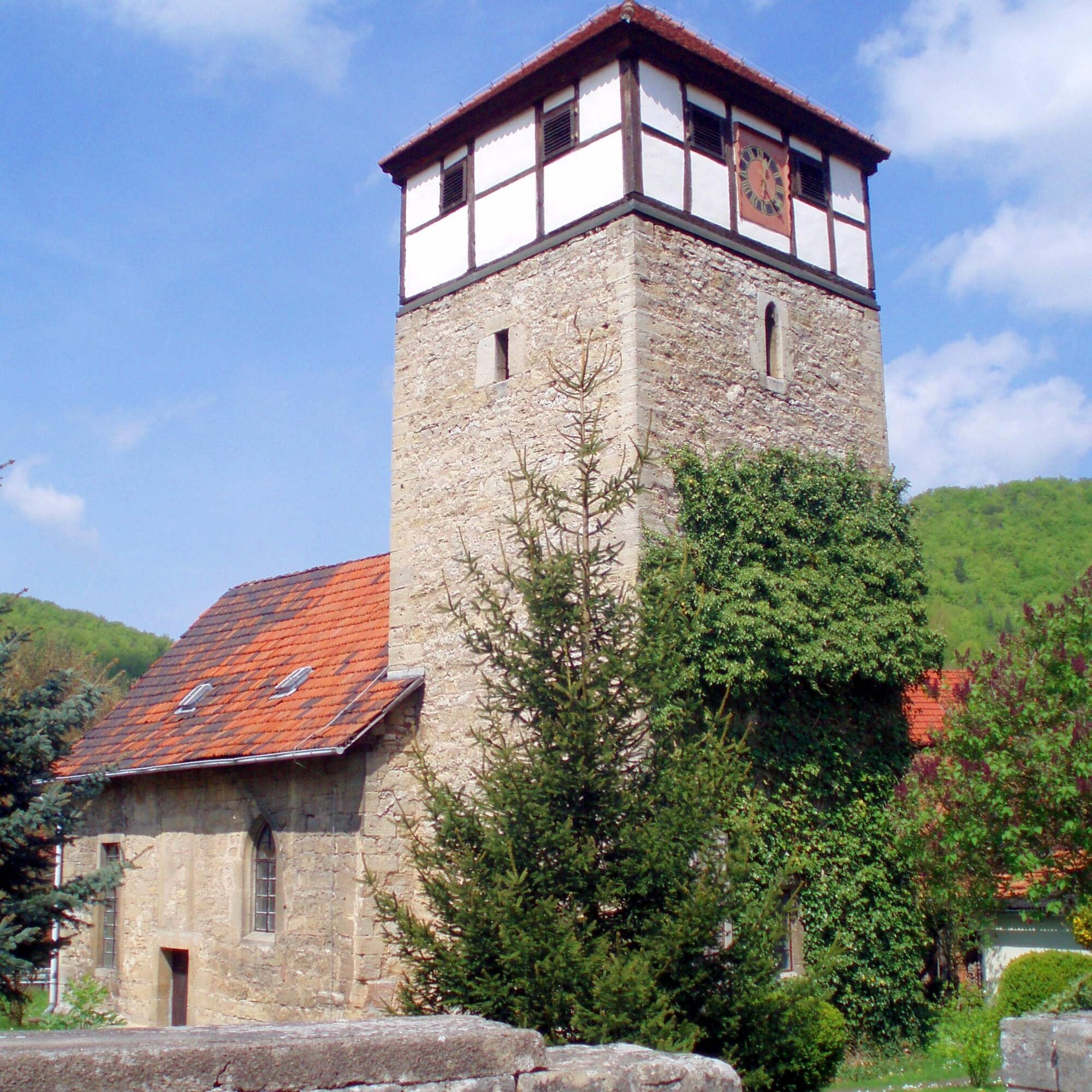
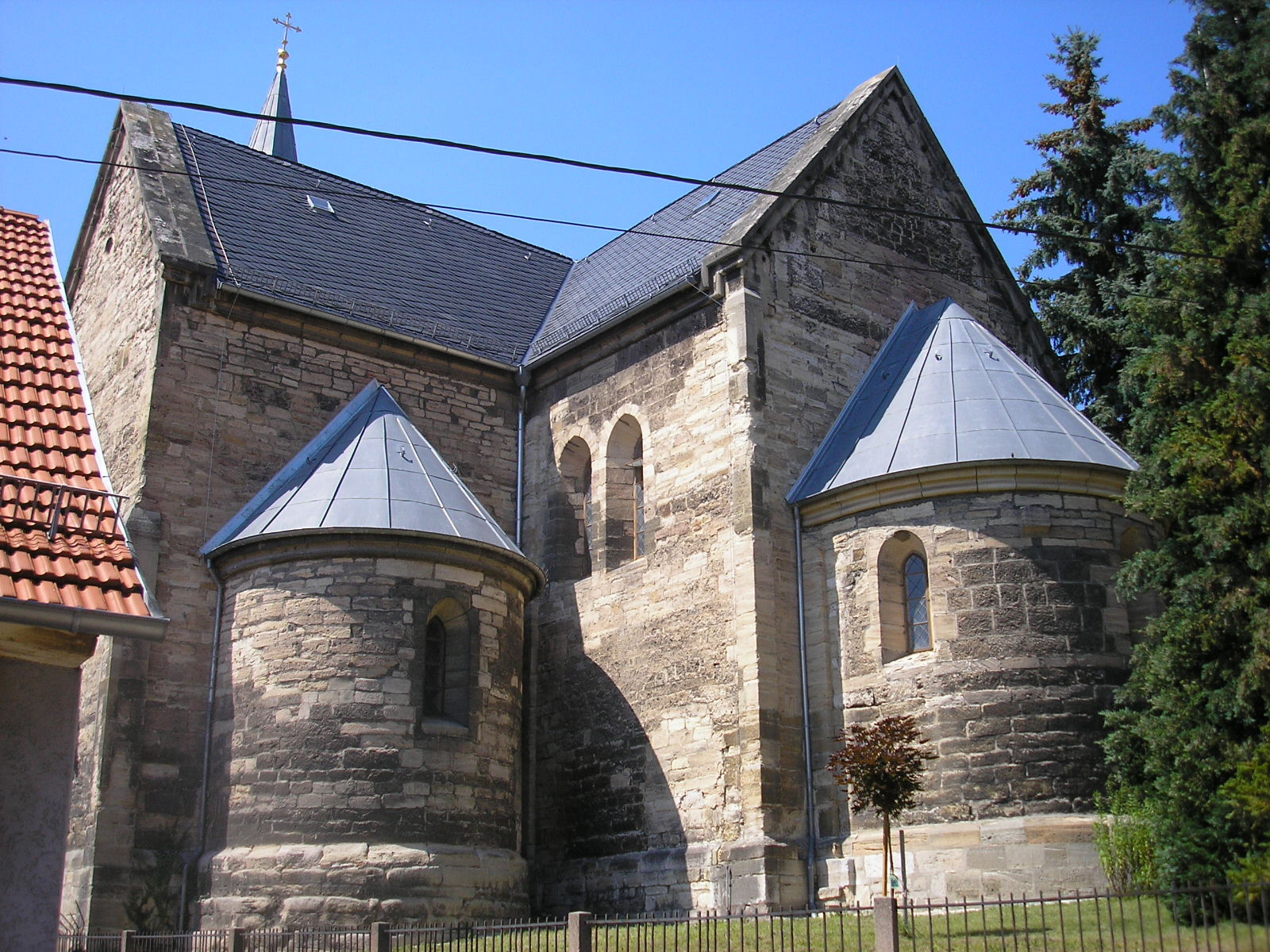
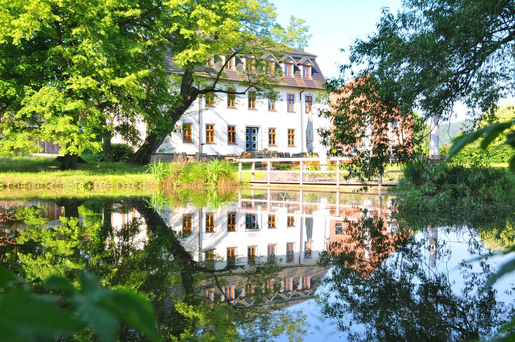
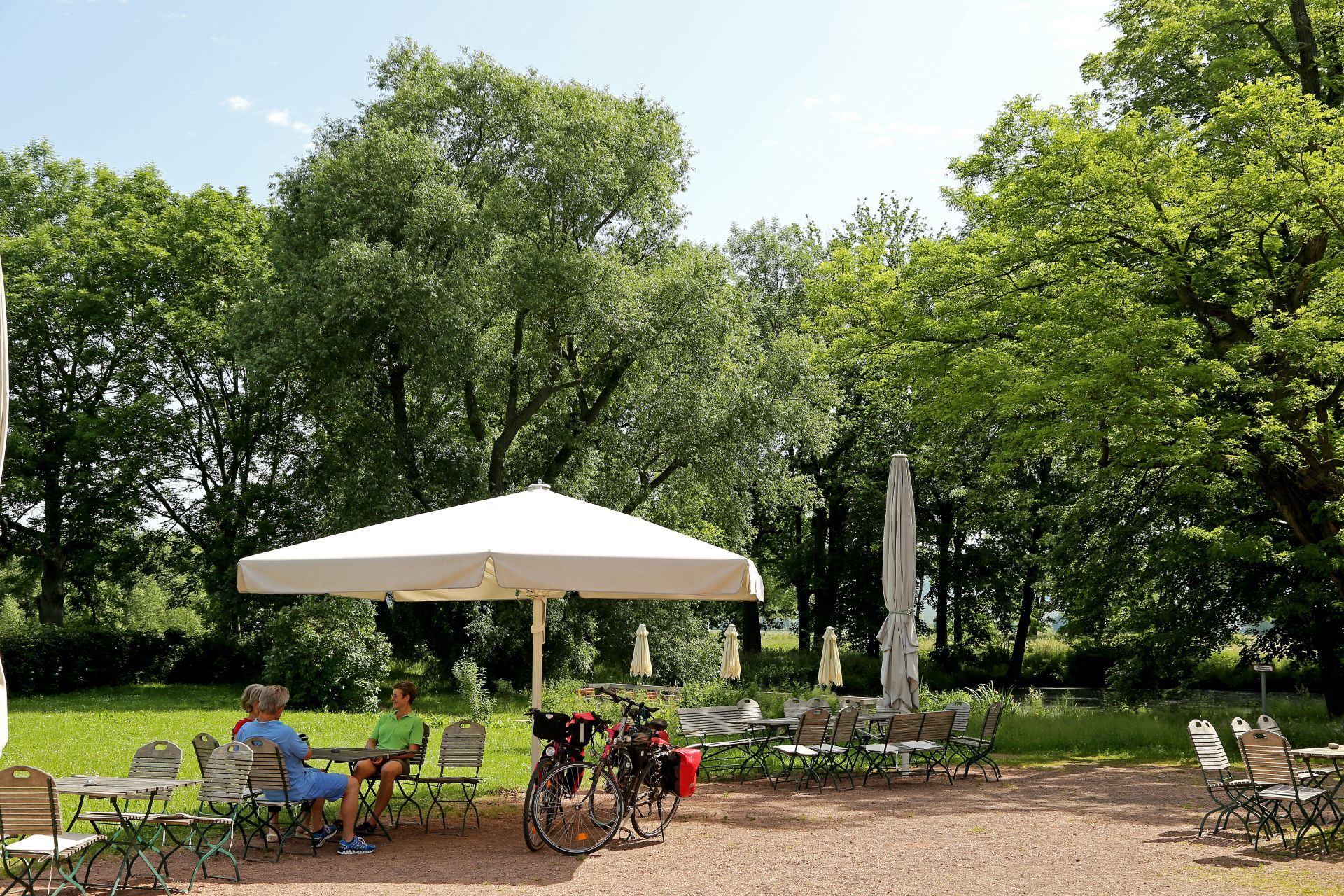
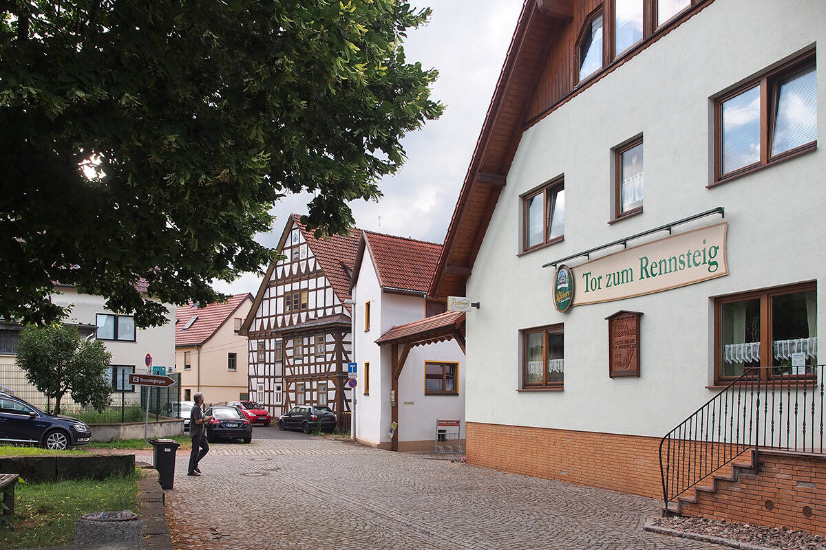
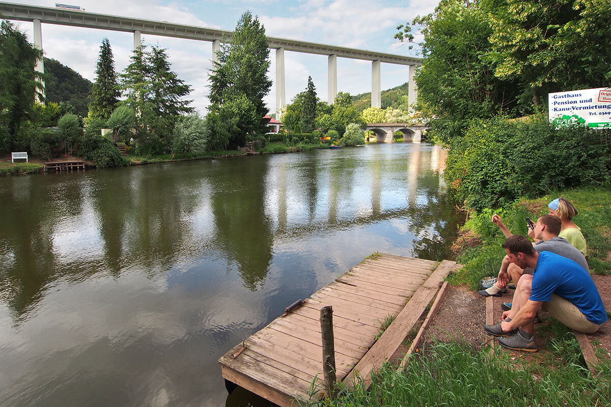
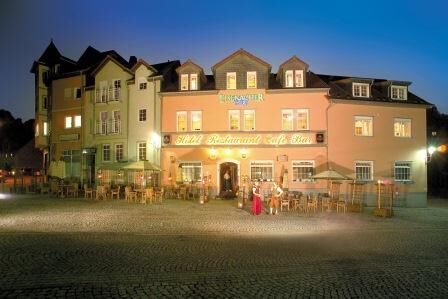
The route starts in Wartburg and Luther City Eisenach, touches the Hainich National Park and leads through one of the oldest towns of Thuringia, Creuzburg with the Creuzburg Castle. From here it continues via the Werratal cycle path through the scenically beautiful Werratal to Heldra. Along the way, you repeatedly pass small villages with scenic locations featuring noteworthy churches, restored half-timbered houses, old castles, and numerous landing points, which are ideal for breaks. Especially in Mihla, Treffurt and the Wilhelmglücksbrunn Foundation Estate, you should take a short break.
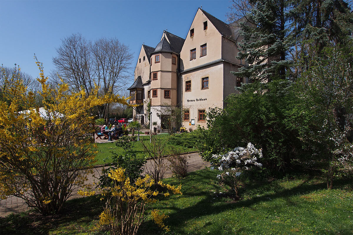
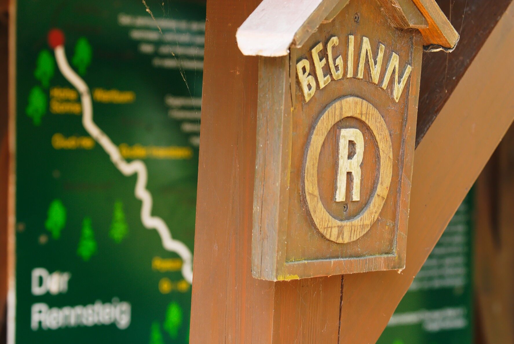
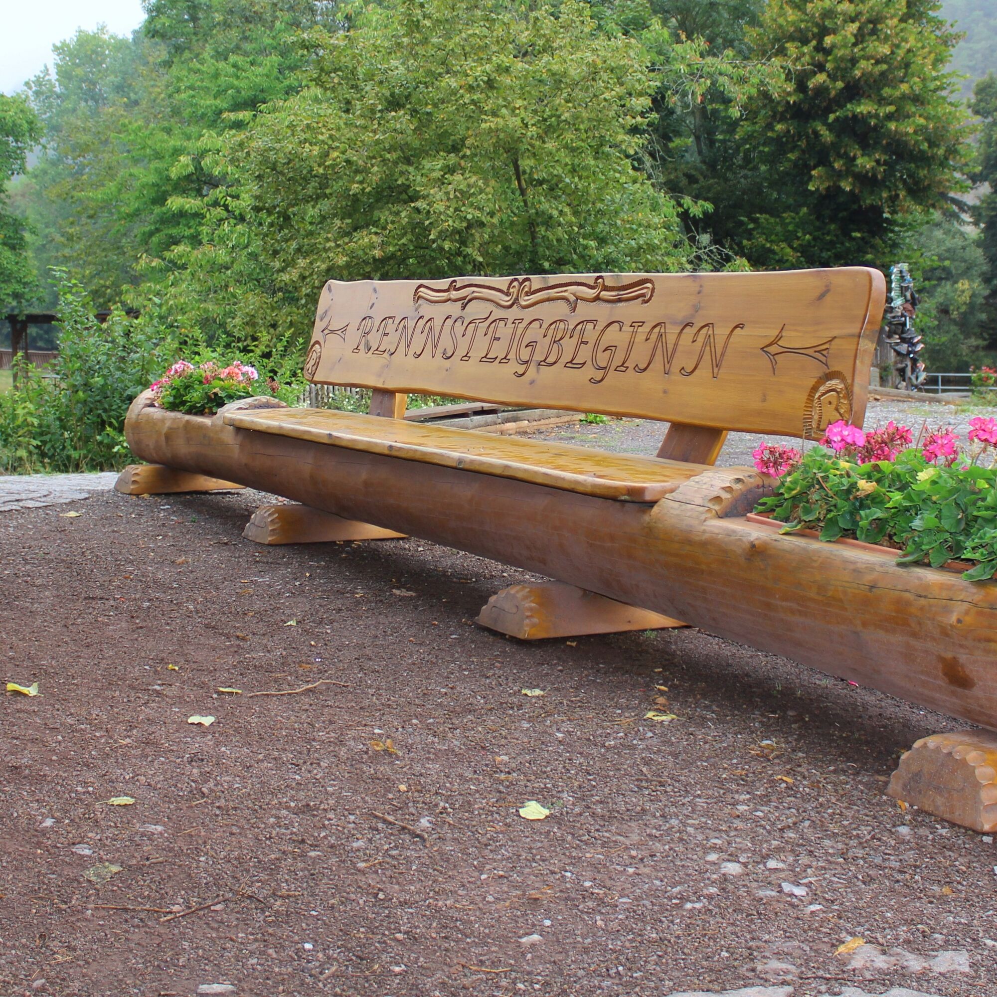
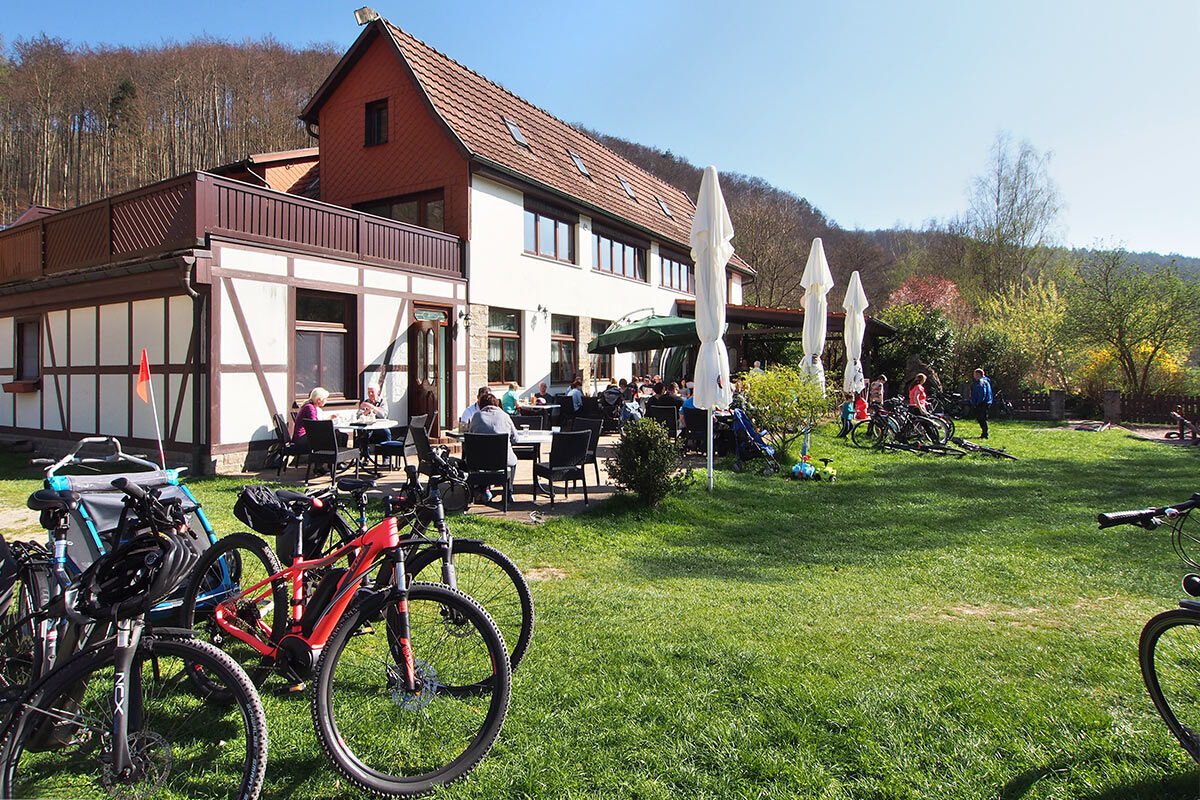
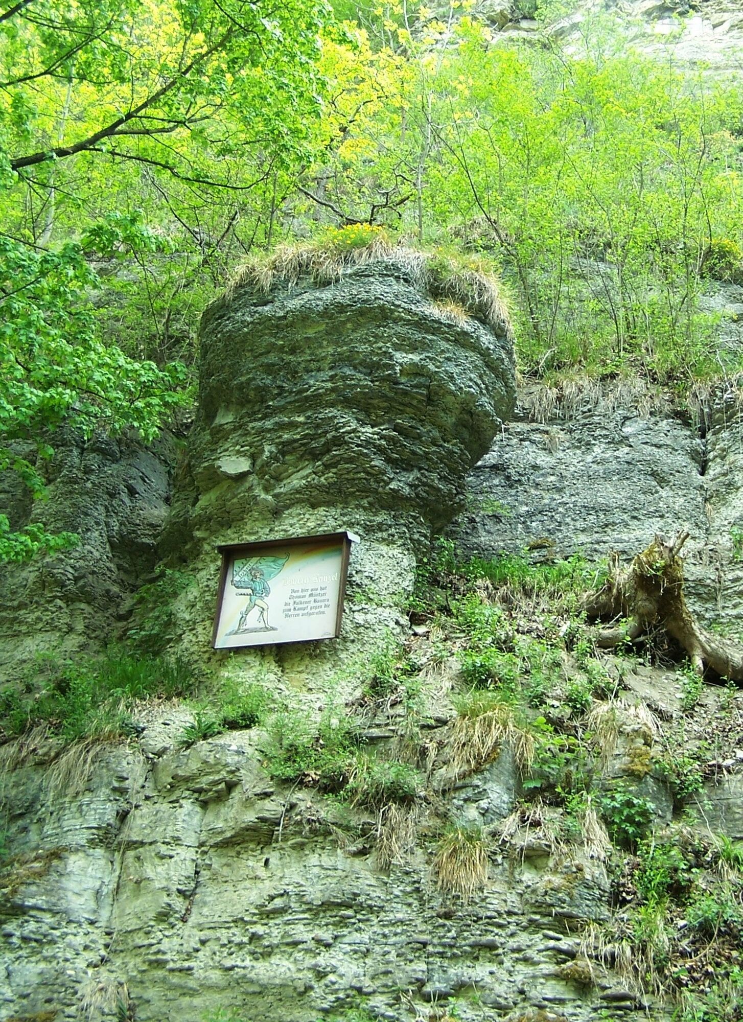
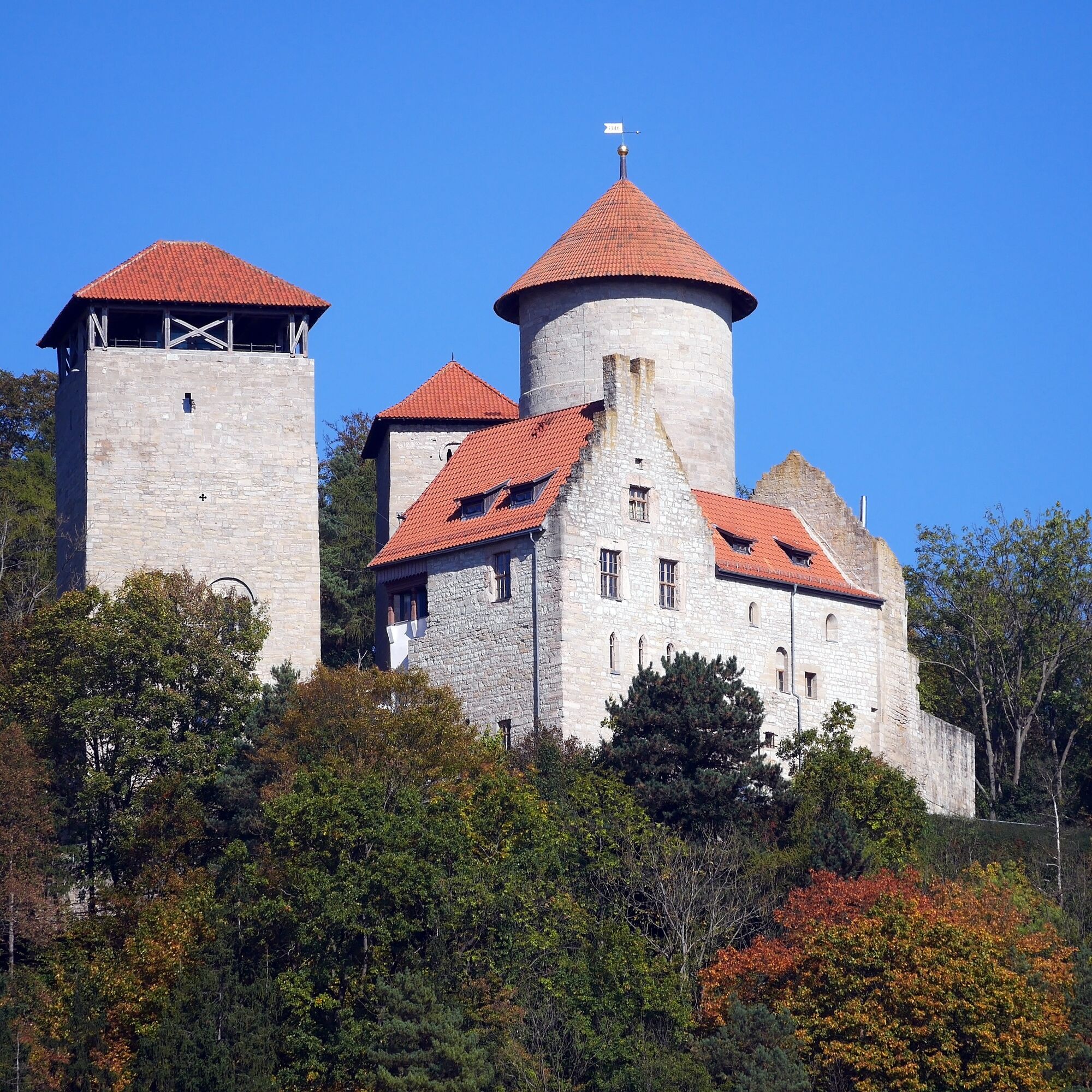
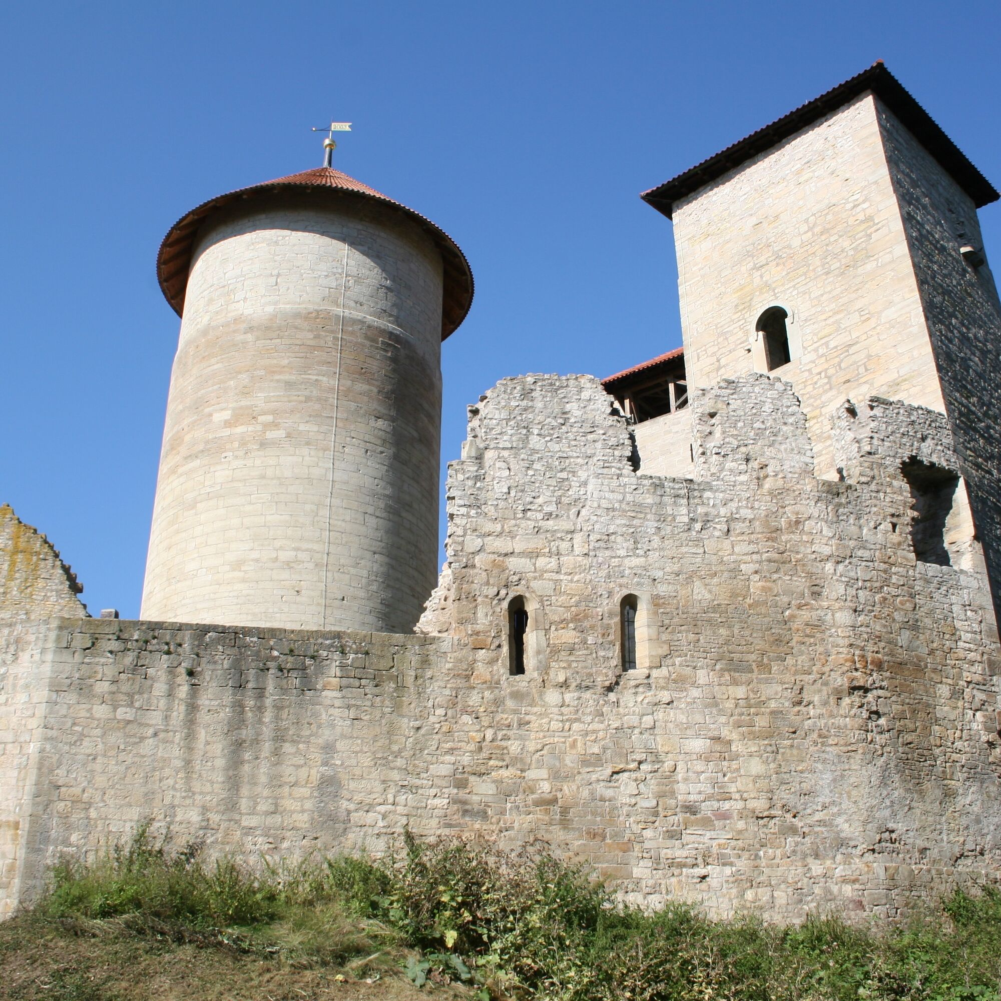
Also worth a short detour (on foot) is the Normannstein Castle with 3 towers from the 12th century near Treffurt as well as the Heldrastein, the highest mountain in the Werratal. At 305 meters, you enjoy a wonderful view far beyond the Werratal. On the way back, you definitely shouldn't miss the Wilhelmglücksbrunn Foundation Estate. A restaurant and an organic market cater to all hungry cyclists. Alternatively, you can also ride from Ifta via Pferdsdorf and Spichra to Hörschel. In Hörschel, you will find the famous Rennsteig Starting Point.
If you want to shorten the big round, you can find hints under the section Arrival.


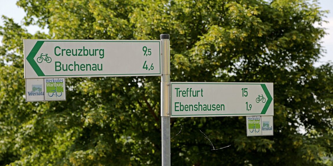

Eisenach Main Station - Eisenach Market - Herkules-Wartburg-Route up to the corner of Mühlhäuser Straße/Friedhofsstraße - Stregda - Neukirchen - Ütteroda - Creuzburg - Ebenau - Buchenau - Freitagszella - Ebenshausen - Frankenroda - Falken - Treffurt - Heldra - Schnellmannshausen - Hattengehau - Ifta - Creuzburg - Wilhelmsglücksbrunn - Spichra - Hörschel - Eisenach
Ano
Ano
In Creuzburg, there is the e-mobility station "Ramona". There you can rent electric bike rickshaws, e-tandems, e-cargo bikes, and other e-bikes. The bikes can be reserved either via an online booking tool: https://creuzburg-online.de/ramona/ or by phone: 03691/8867277.
Please always pay attention to other road users and follow the traffic regulations.
Check your bike for roadworthiness before starting your journey (lights [front/rear], reflectors).
The cycle path partially runs on public roads. Pay attention to other road users and ride cautiously!
By car, you arrive via the A4 motorway (exit Eisenach-West or Eisenach-Ost) or via the federal highways B7, B19, and B84.
You can reach Eisenach by long-distance and regional trains as well as regional buses. Use the German Rail Travel Portal for travel planning. This portal also lists all regional transport providers.
For those who want to shorten the large route, various options including bike transport are available:
from/to Hörschel, DB regional train towards Bebra/Eisenach Regional bus line 170 with a bike trailer to/from Creuzburg, Treffurt, Falken or Schnellmannshausen on Saturdays as well as Sundays and public holidays.In the city center, you will find various parking options near the market. Further information about parking in Eisenach can be found here.
Parking garages:
Parking garage Am Markt - Hinter der Mauer 1
City parking garage (in the old tram depot) - Sommerstrasse (corner of Uferstrasse)
Car parking spaces:
Parking lot Karl-Marx-Straße - Karl-Marx-Straße 40
Parking lot Schiffsplatz - Katharinenstraße 13
Parking lot Frauenplan - Frauenplan 4
Parking lot Eisenach South - Eisenach parking center in the brewery yard - Wartburgallee 25a
3
Yellow Route of the Hainich National Park
Lerchenberg cycle path
The nature around Treffurt is especially beautiful in spring when thousands of cherry trees bathe the area in bright white.
Oblíbené prohlídky v okolí
-
5.0
EA1 - Circular route - Gorge tour near Eisenach - Thuringian Forest
středníTuristika 9.68 km -
4.7
IVV PW + GTW "In Luther's footsteps - Luther, dragons, landgraves, rose miracle..."
středníTuristika 15.8 km -
5.0
Wartburg und Drachenschlucht
středníTuristika 15.1 km -
3.5
EA2 - circular hiking route - "The Beauties of Eisenach" - Thuringian Forest
středníTuristika 10.4 km -
4.7
Hike - "Rennsteig-Leiter Eisenach" Thuringian Forest
středníTuristika 3.58 km -
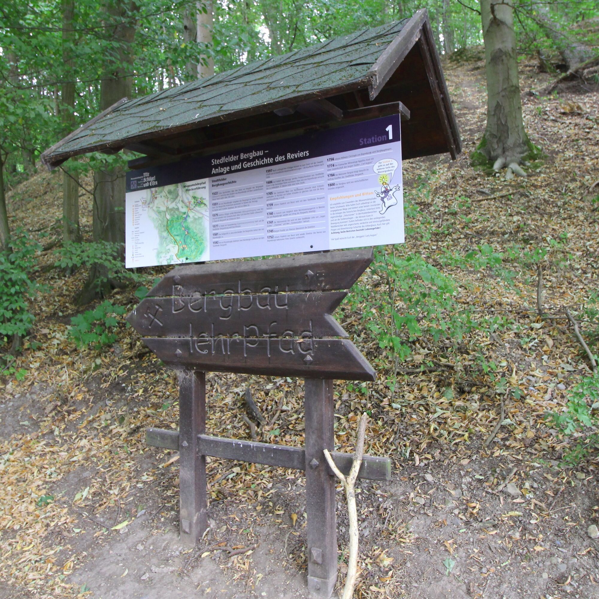
Circular hike - From the Rennsteig start via the "Stedtfeld Mining Educational Trail" near Eisenach - Thuringian Forest
středníTuristika 11.0 km -
EA3 - Circular hiking trail - "Wartburg Experience Route" - Thuringian Forest
středníTuristika 6.14 km -
Circular hiking trail - "The Beautiful Unknowns" - Wutha-Farnroda
středníTuristika 10.8 km -
5.0
Premium route P21 Point India - Walkable Green Belt
středníTuristika 14.9 km -
Premium trail P6 Heldrastein - Walkable Green Belt
středníTuristika 12.8 km

Pěší turistika a stopování


Nenechte si ujít nabídky a inspiraci pro vaši příští dovolenou
Vaše e-mailová adresa byl přidán do poštovního seznamu.