






The Greina plateau and its arch

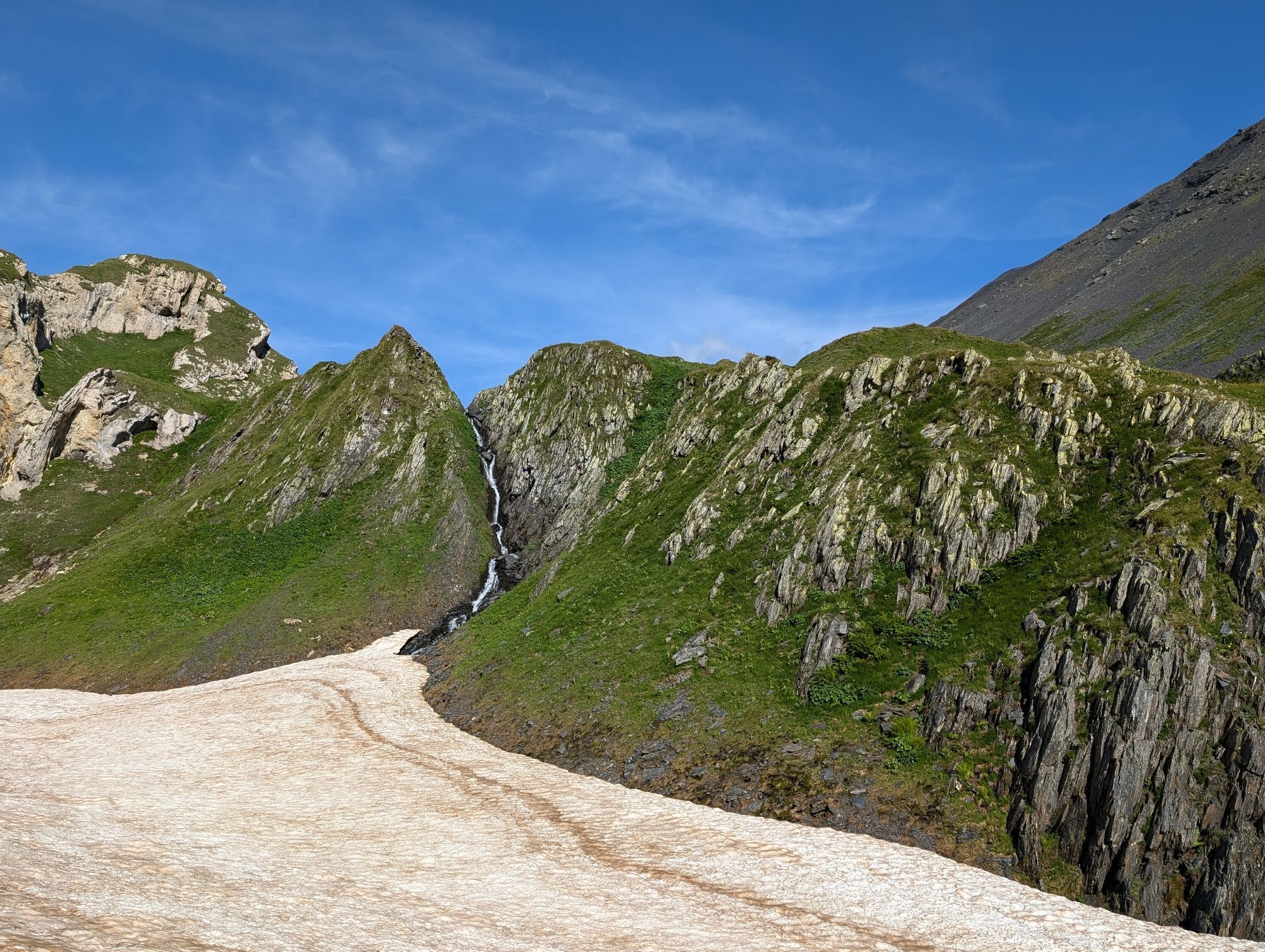
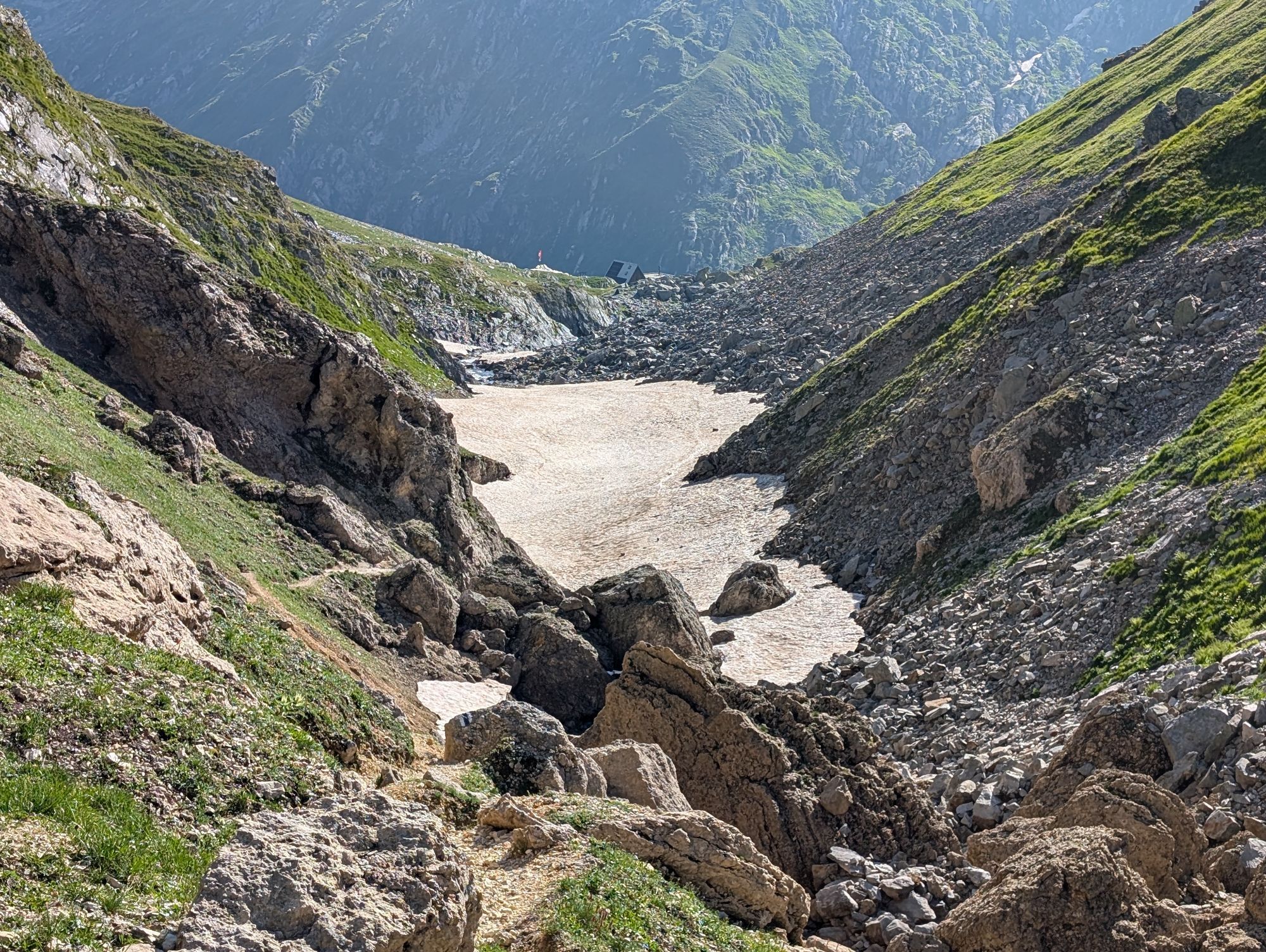
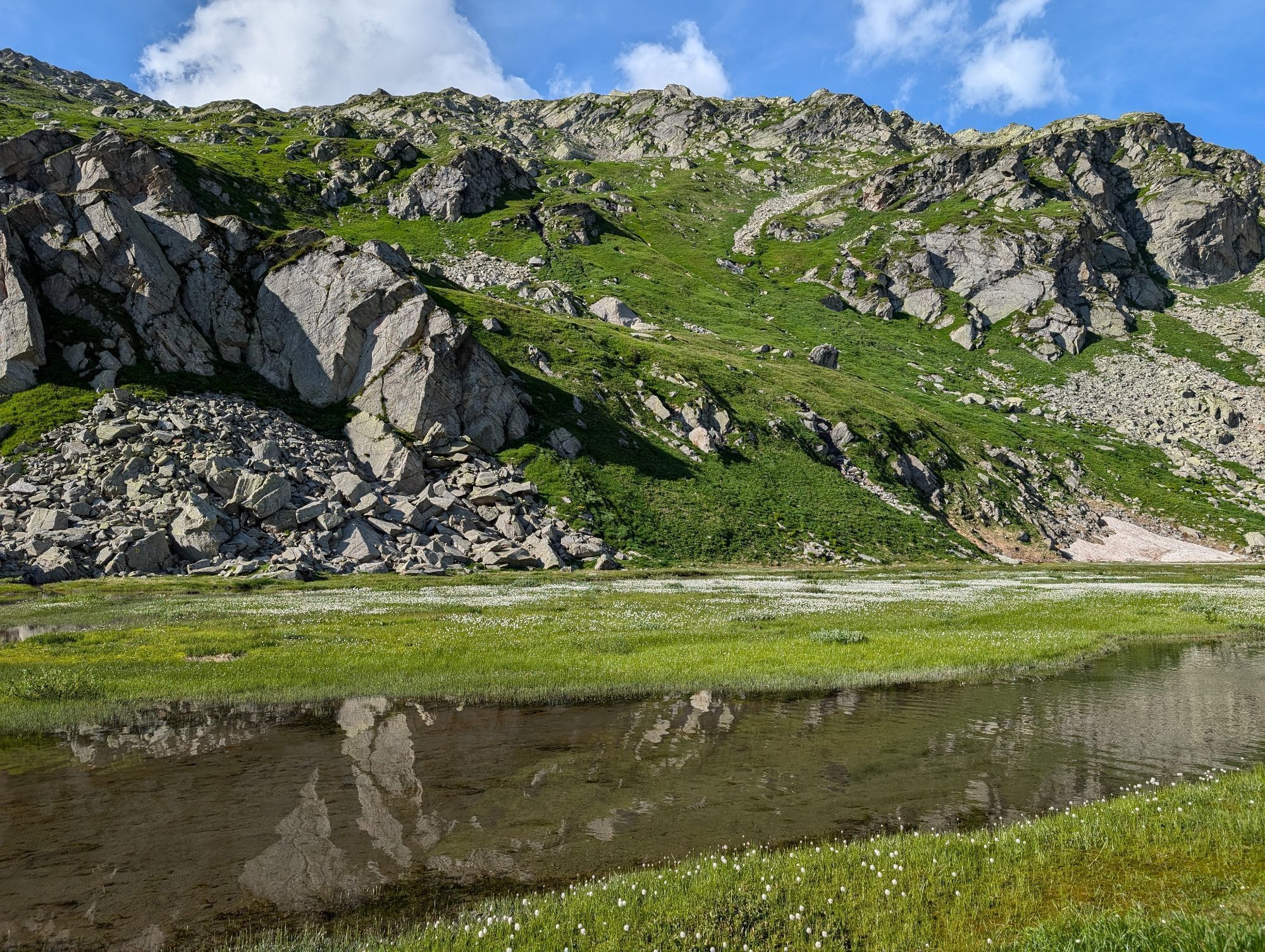
You will discover a place that will captivate you thanks to its natural treasures. Crossing scree, snowfields and meadows covered with delicate and colorful mountain flowers, you will be able to perceive...
You will discover a place that will captivate you thanks to its natural treasures. Crossing scree, snowfields and meadows covered with delicate and colorful mountain flowers, you will be able to perceive all the strength and beauty of nature.
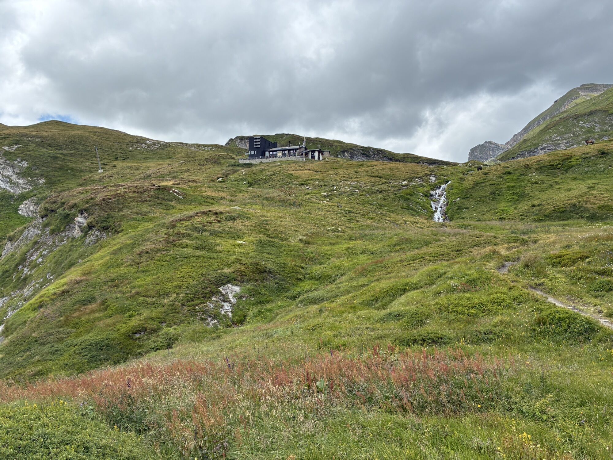
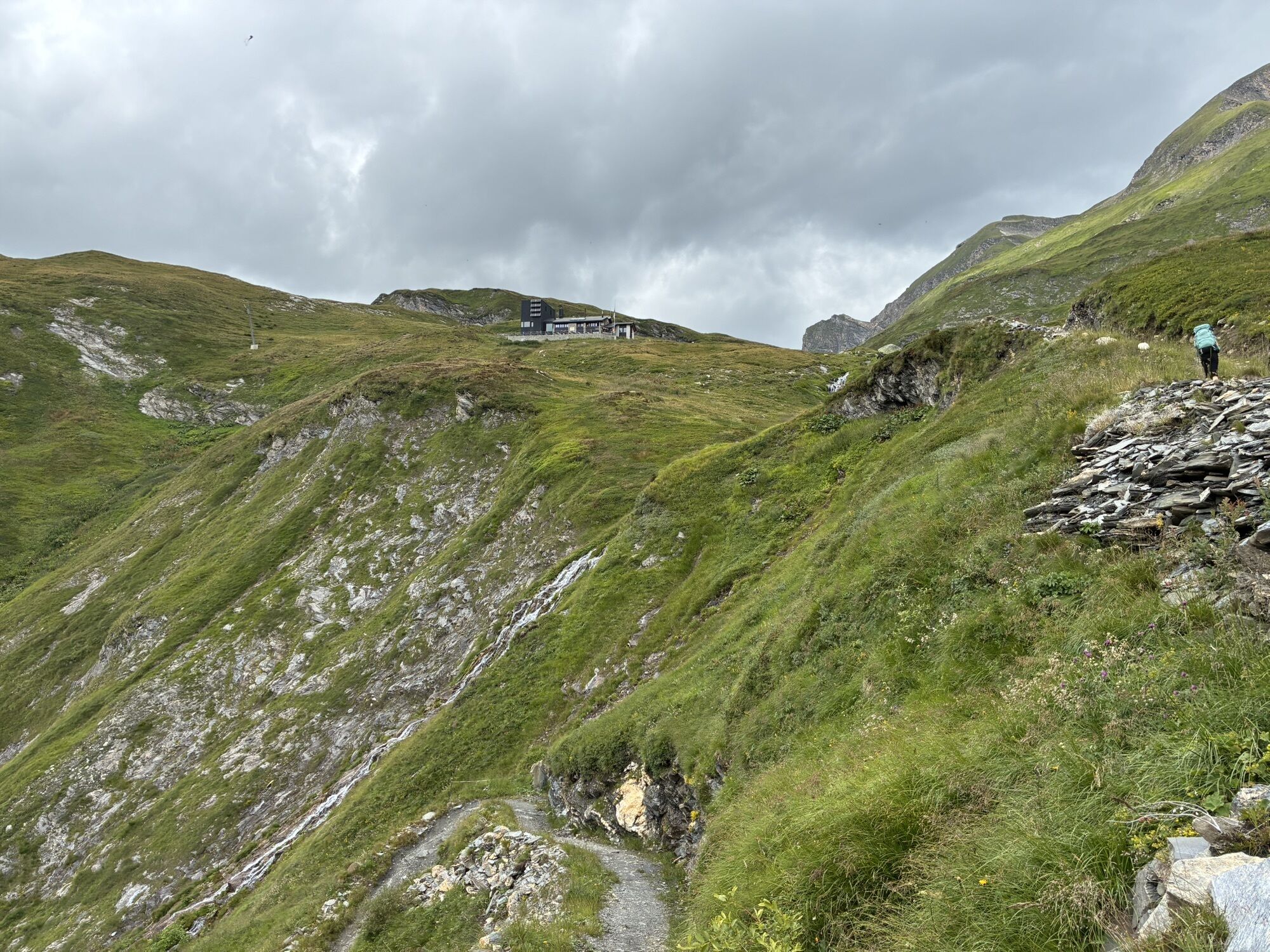
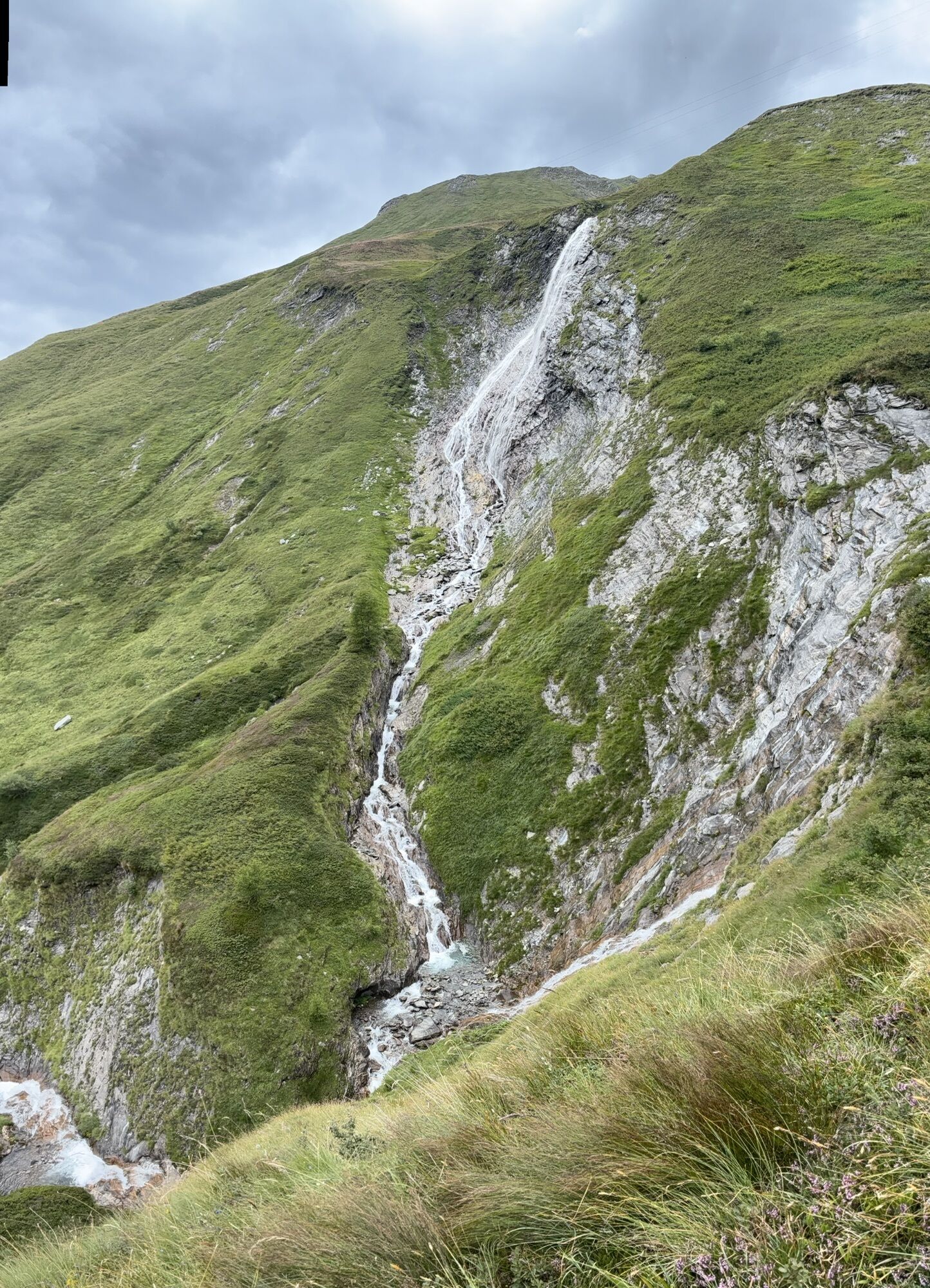
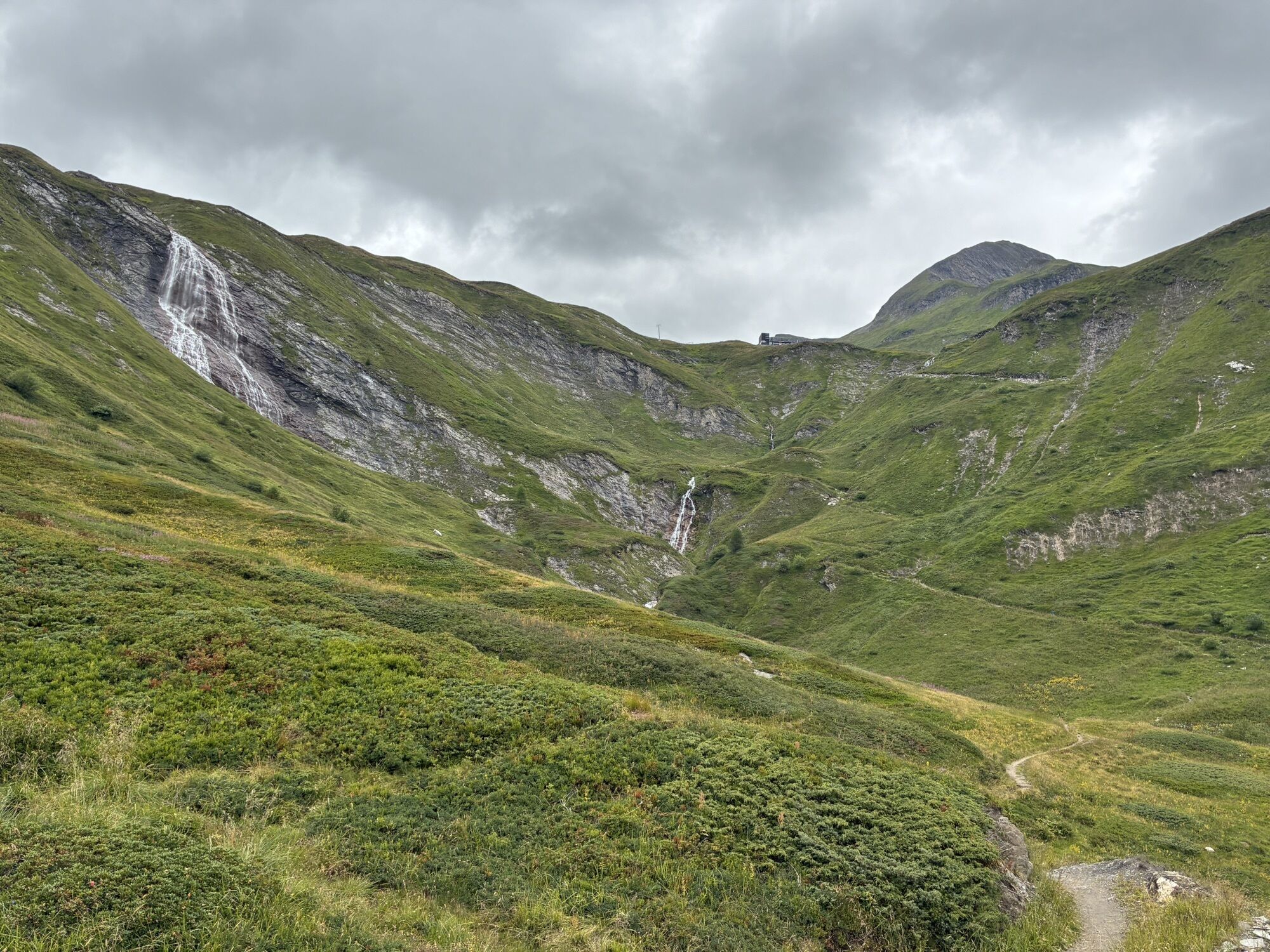
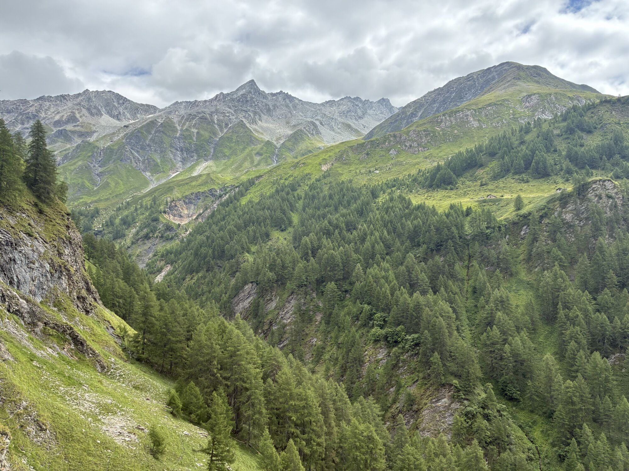
The Greina Plateau, between Canton Ticino and the Canton of Grisons, is an area accessible only on foot that extends for almost 6 km in length and one in width at an altitude of over 2200 m. This circular route allows you to admire the landscape peculiarities that give the region a unique appearance, similar to an alpine tundra. Here numerous streams and torrents flow undisturbed creating unusual ponds, meanders, bogs and marshes.
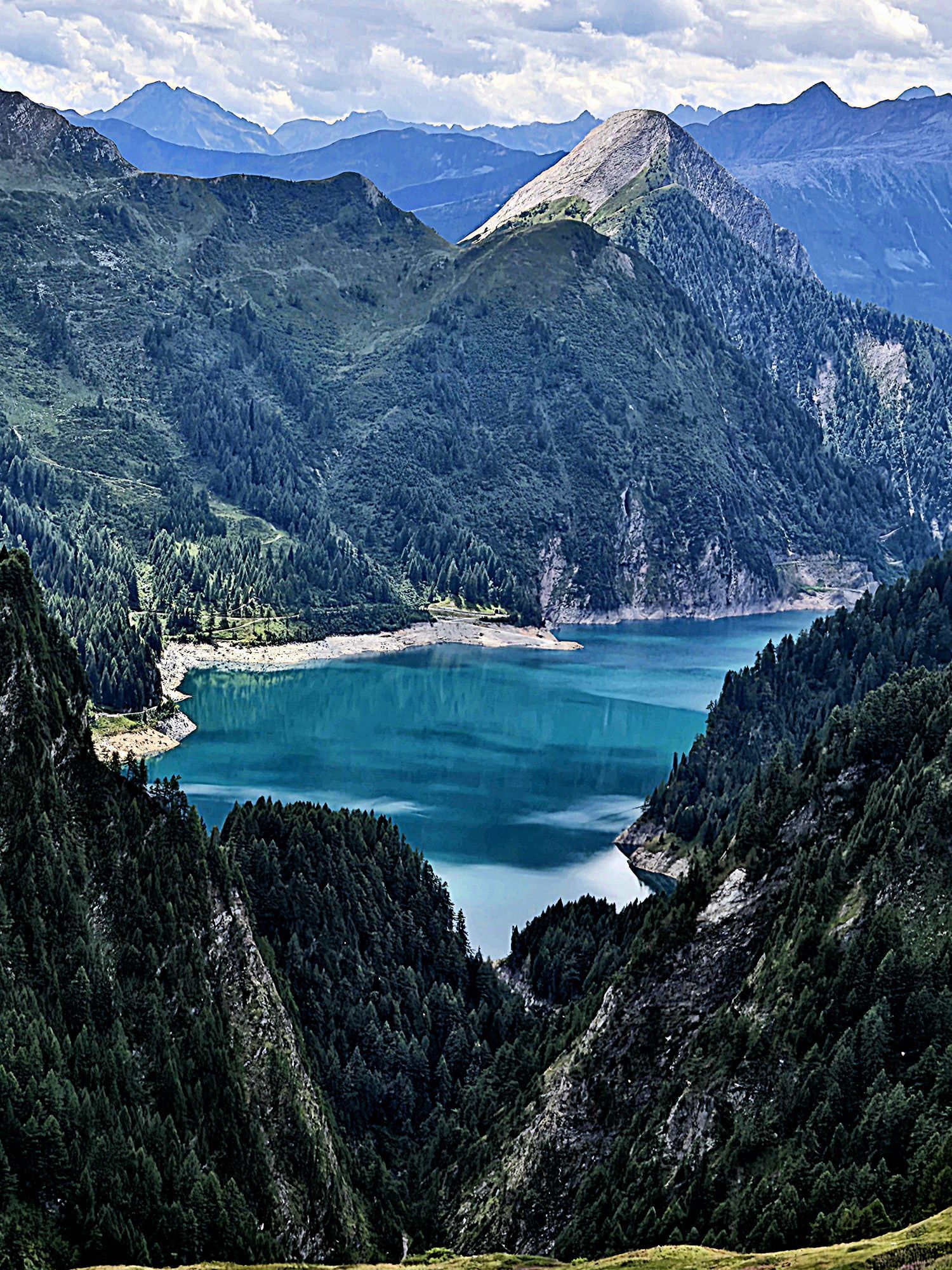
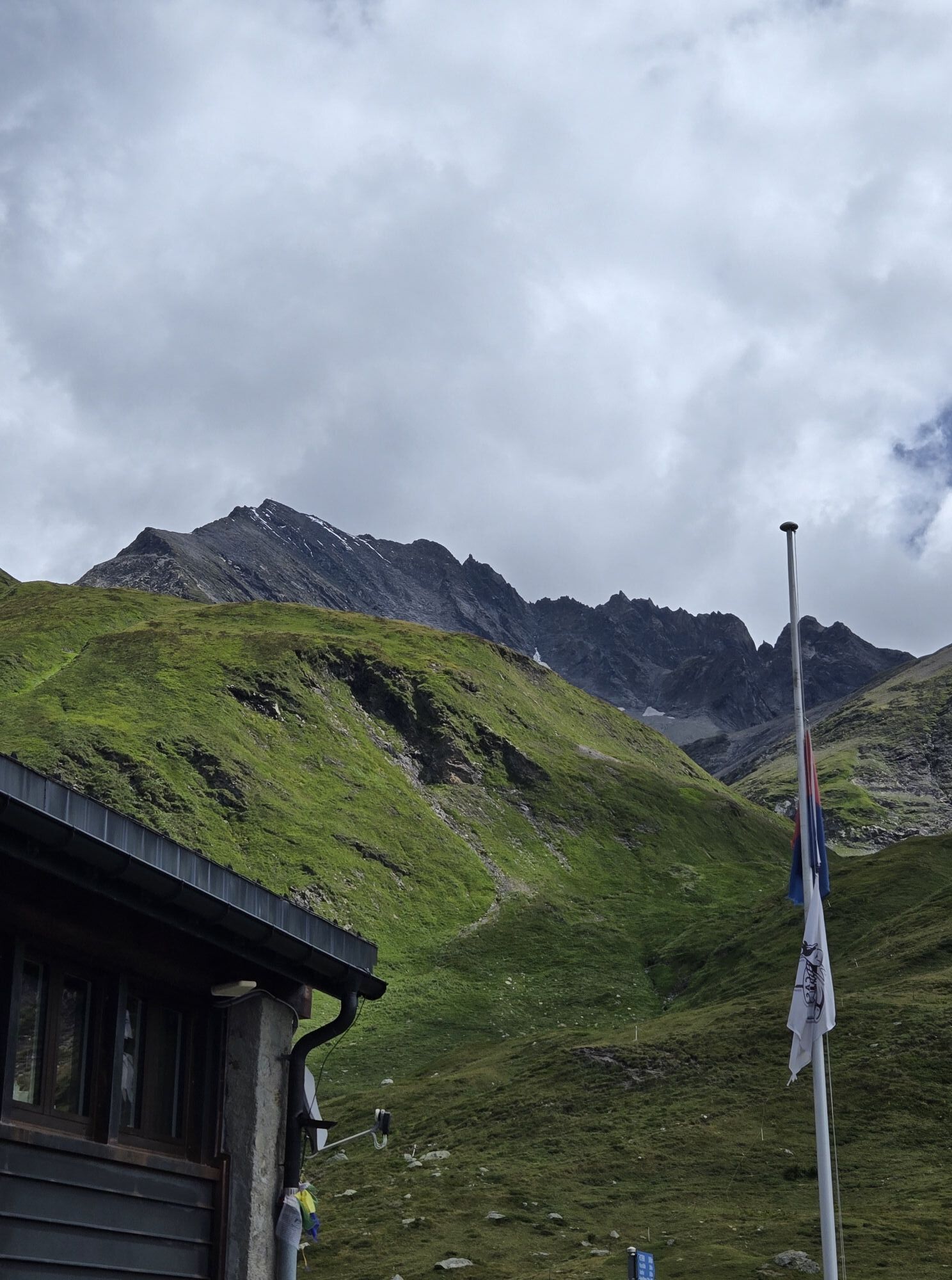
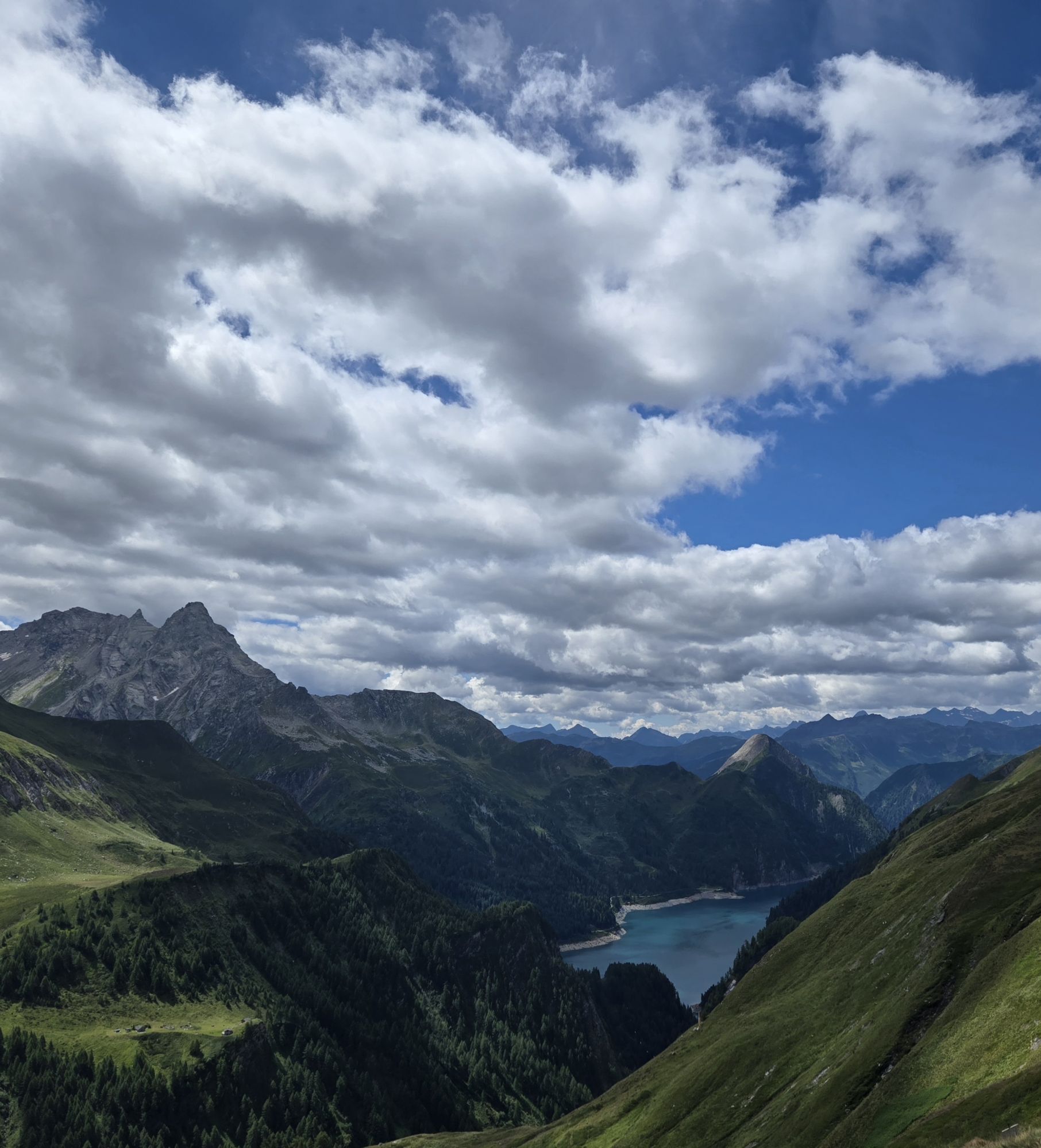
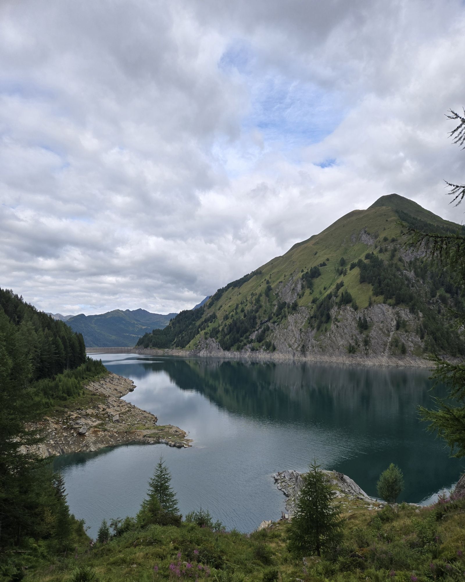
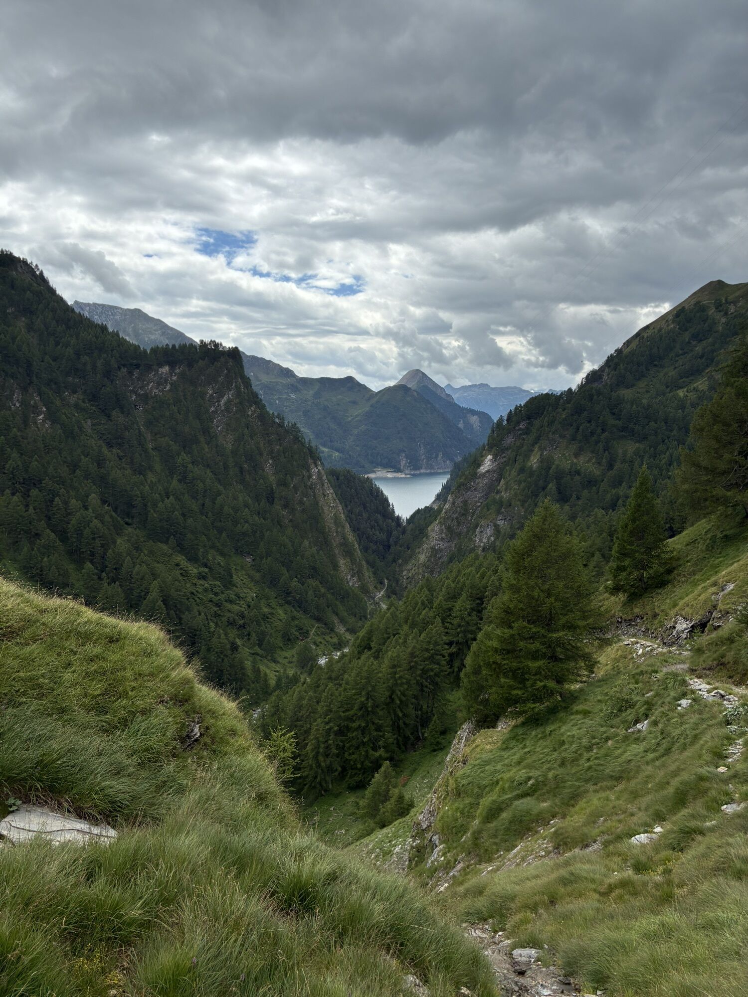
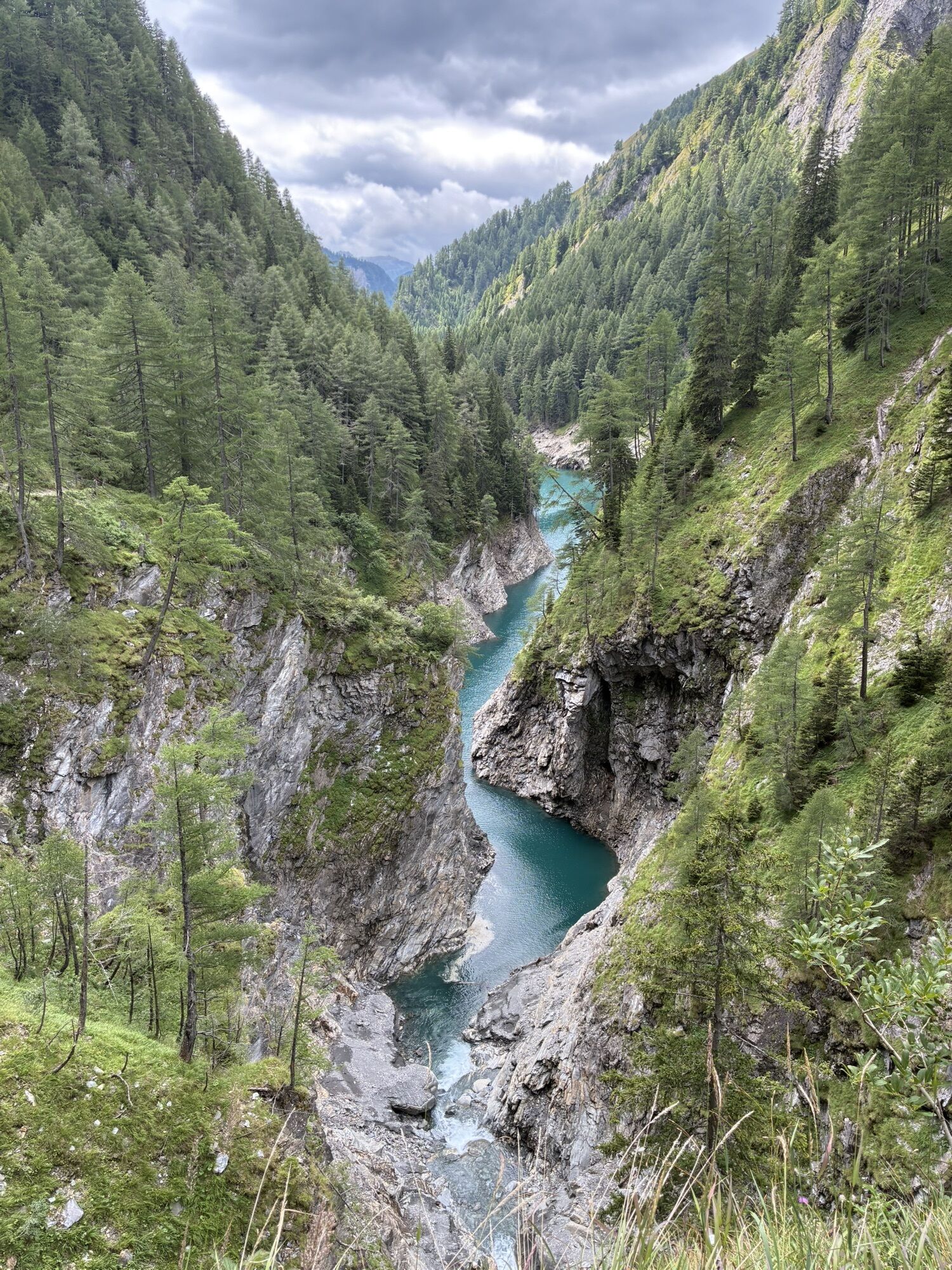
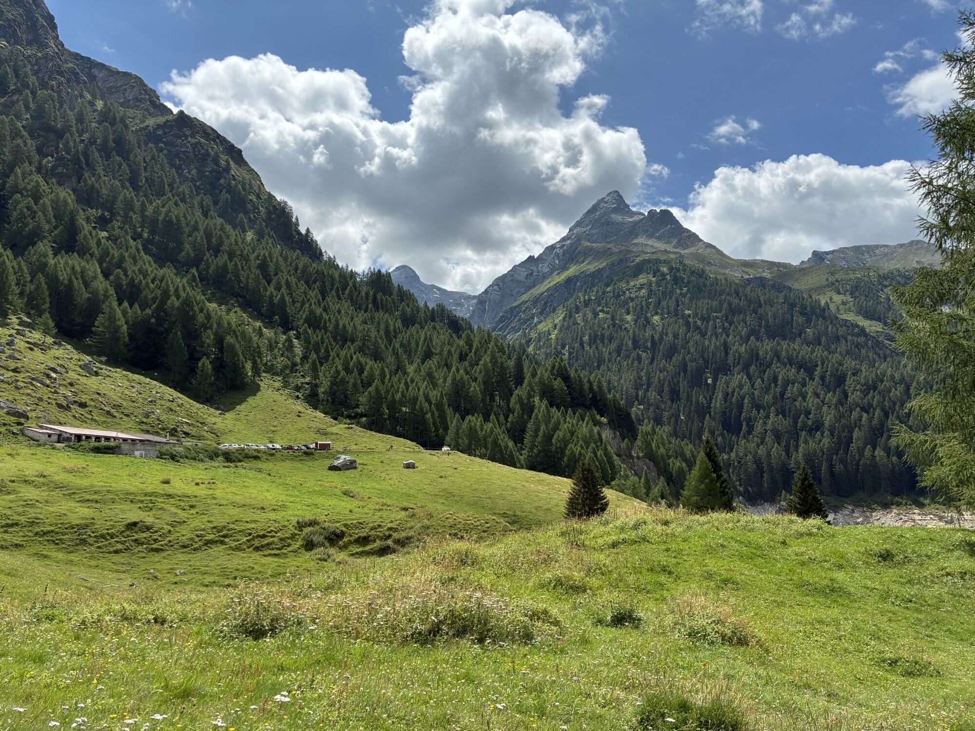
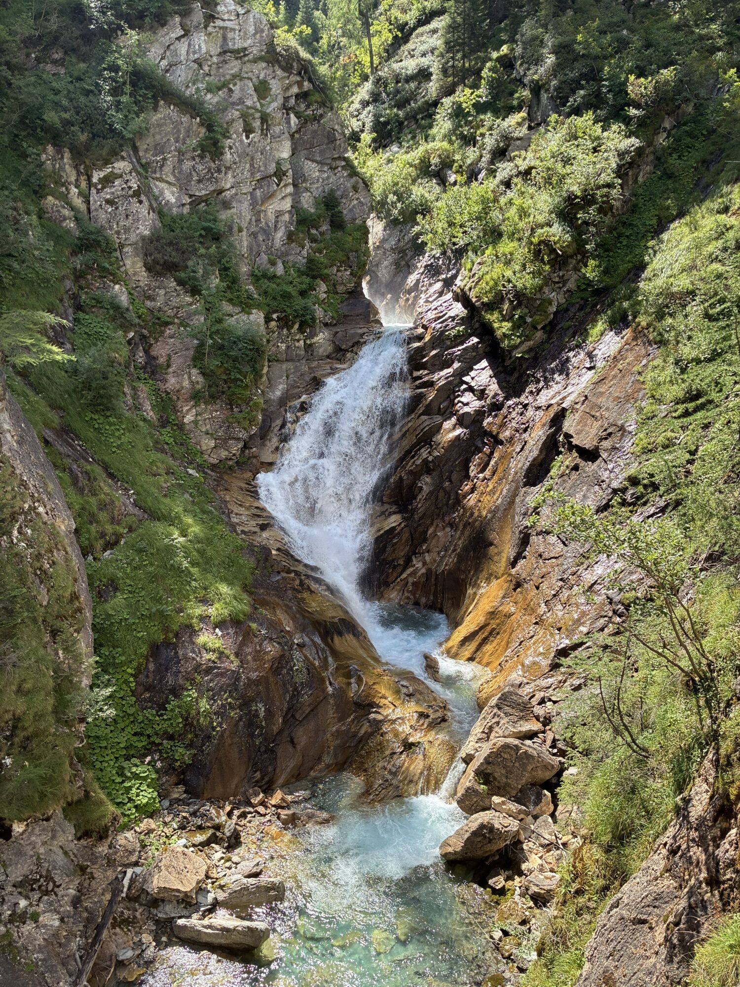
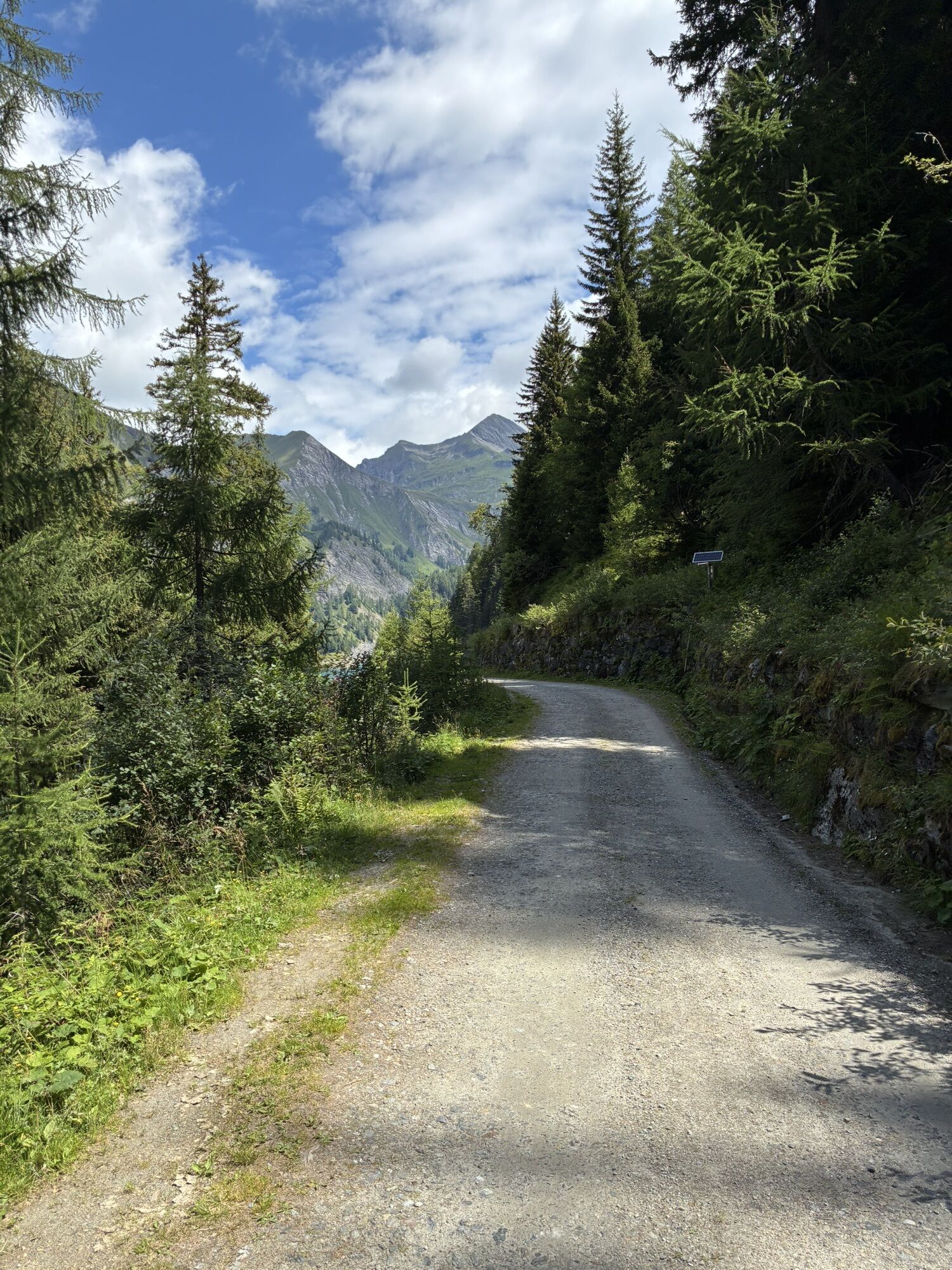
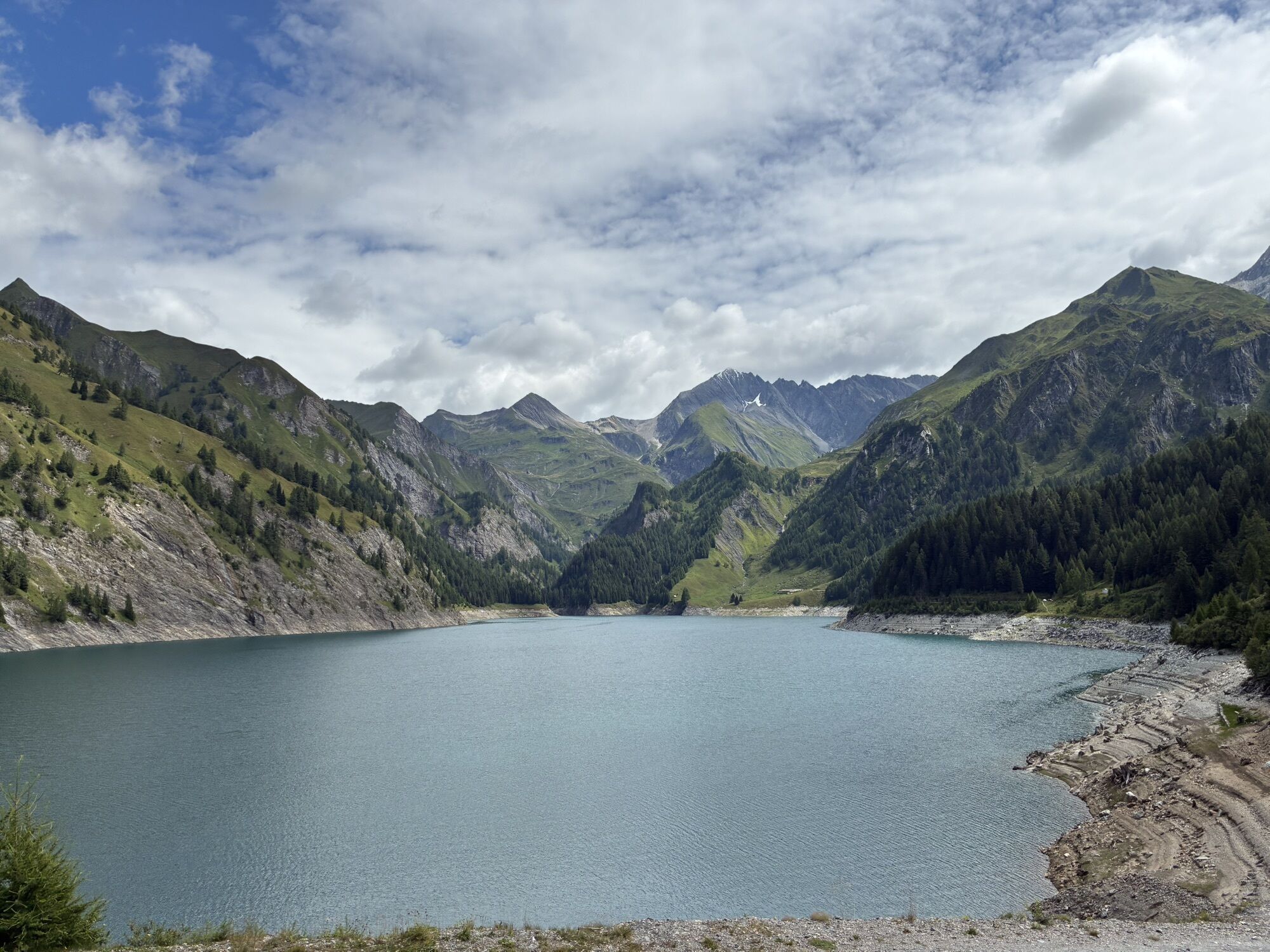
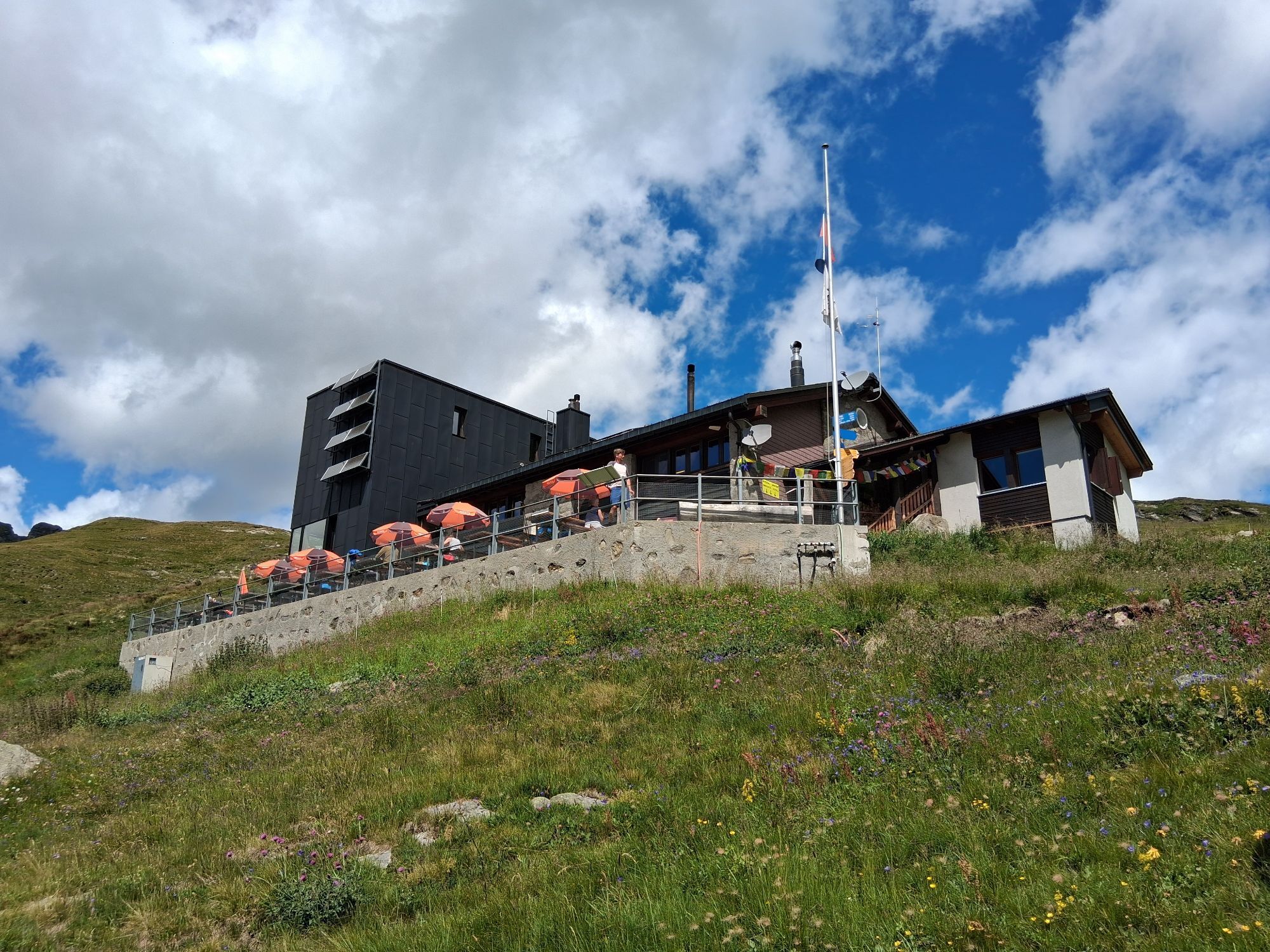
The circular route starts in the locality of Campo Blenio, easily reachable by Autolinee Bleniesi. From here, to save some effort, the Alpine Bus departs which, traveling the picturesque Val Camadra, takes you to Pian Geirett. From here, in an hour's walk, you easily reach the Scaletta Hut (2205 m). Then ascend, crossing scree and snowfields, towards the Greina Pass. Here a short detour of 600 meters will allow you to encounter the Greina Arch, a majestic and symbolic 40-meter opening passable on foot. Then begins the magnificent Greina Plain, included among nationally important landscapes for its exceptional geological and natural qualities. After passing the plain, past Crap la Crusch (Cross Stone), you reach the hospitable and renovated Michela-Motterascio Hut (2172 m). The panoramic terrace offers a splendid view of Piz Terri, the Luzzone lake, Sosto and Pizzo Rosetto. From Motterascio you then descend towards Rafüsch and after crossing a characteristic gorge, reach Alpe Garzott and the impressive Luzzone dam. Finally, you return to Campo Blenio, always with the comfortable shuttle bus, ending a tour that remains a great classic and always offers strong emotions and great satisfaction.

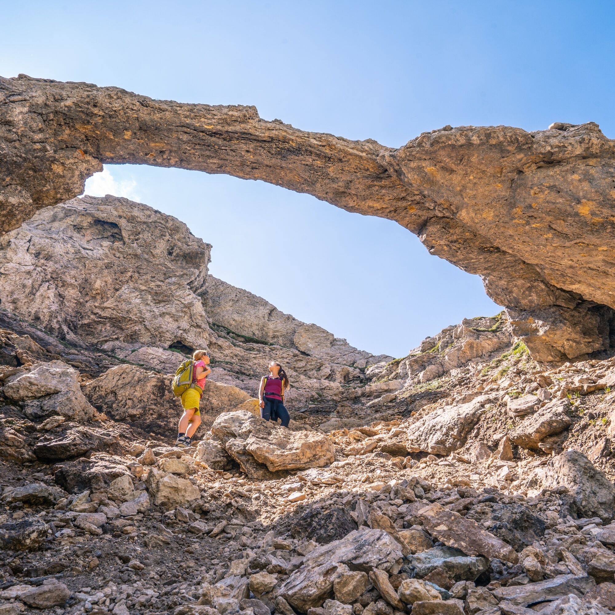
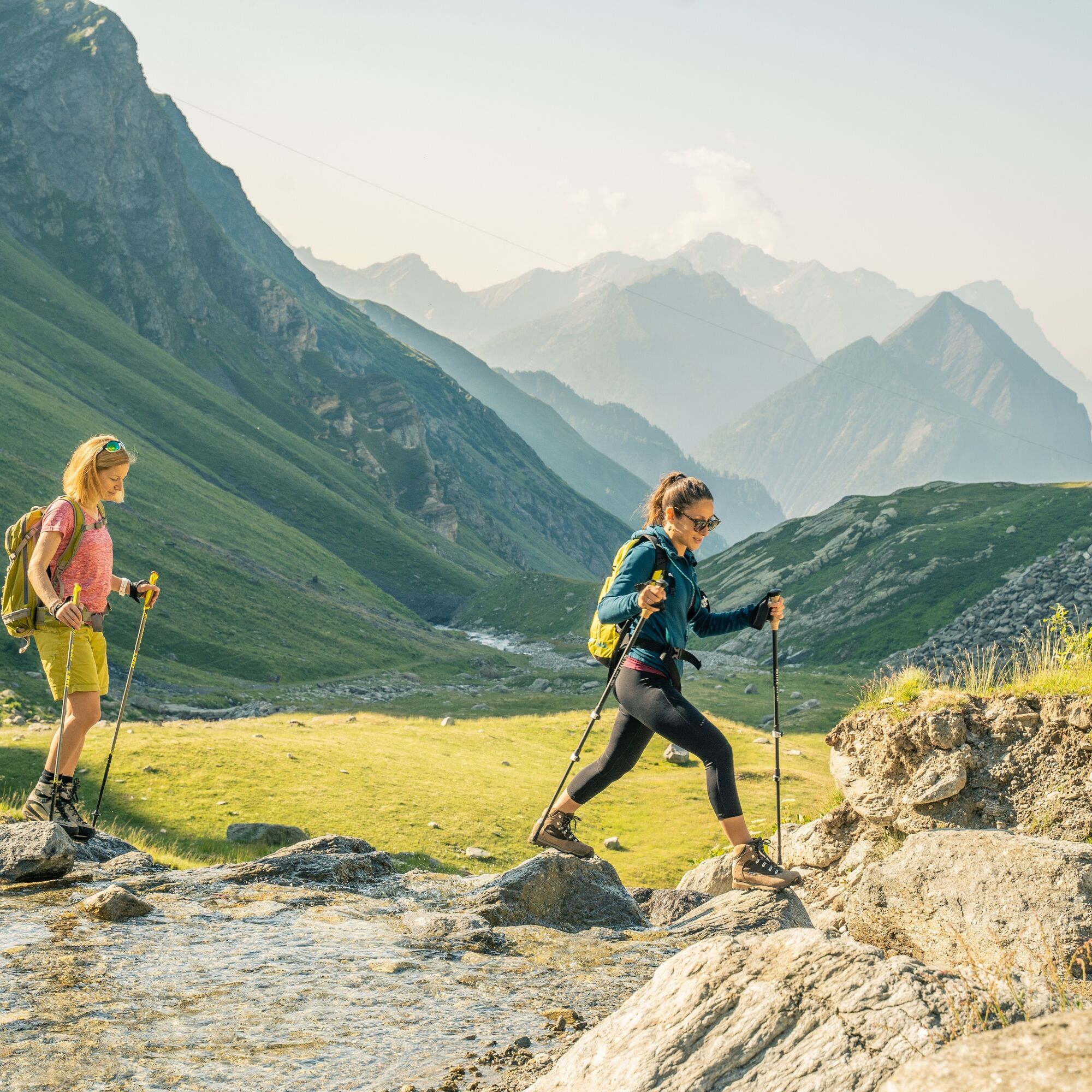
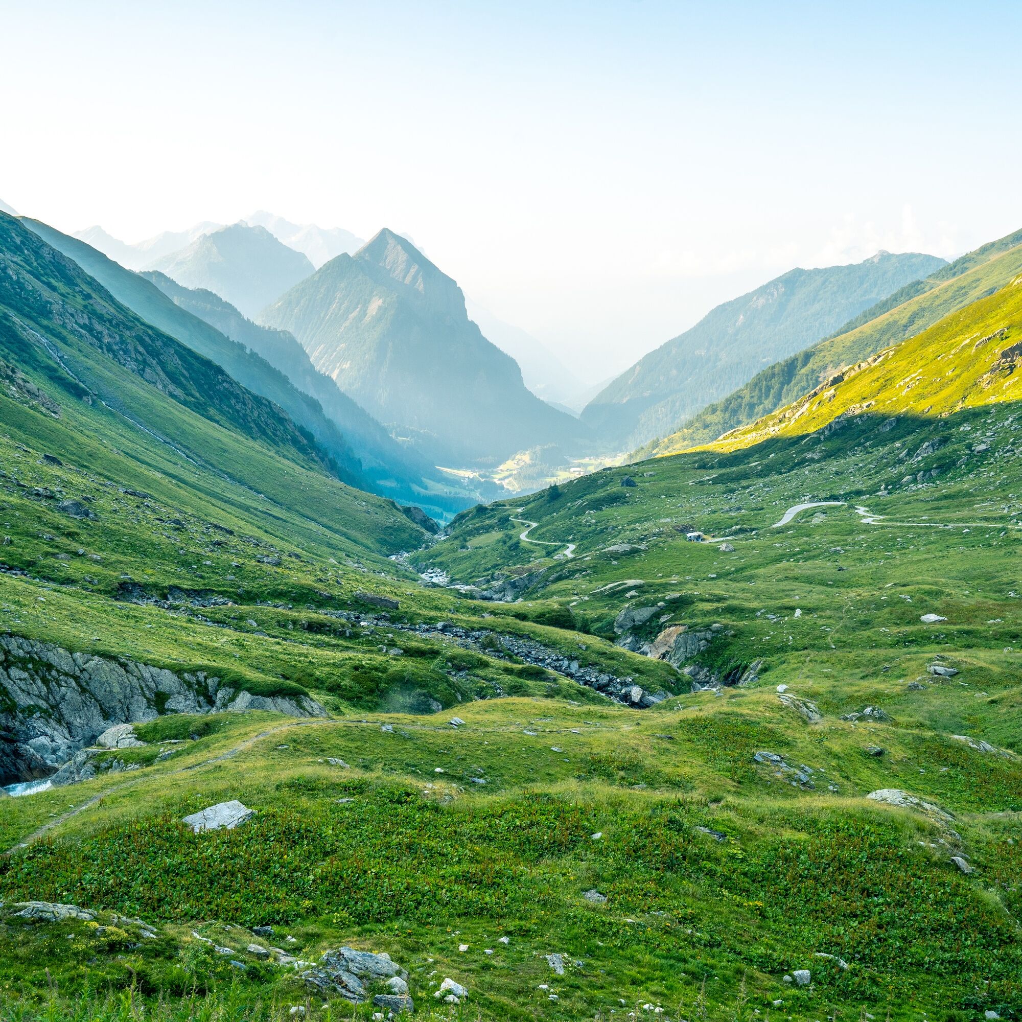
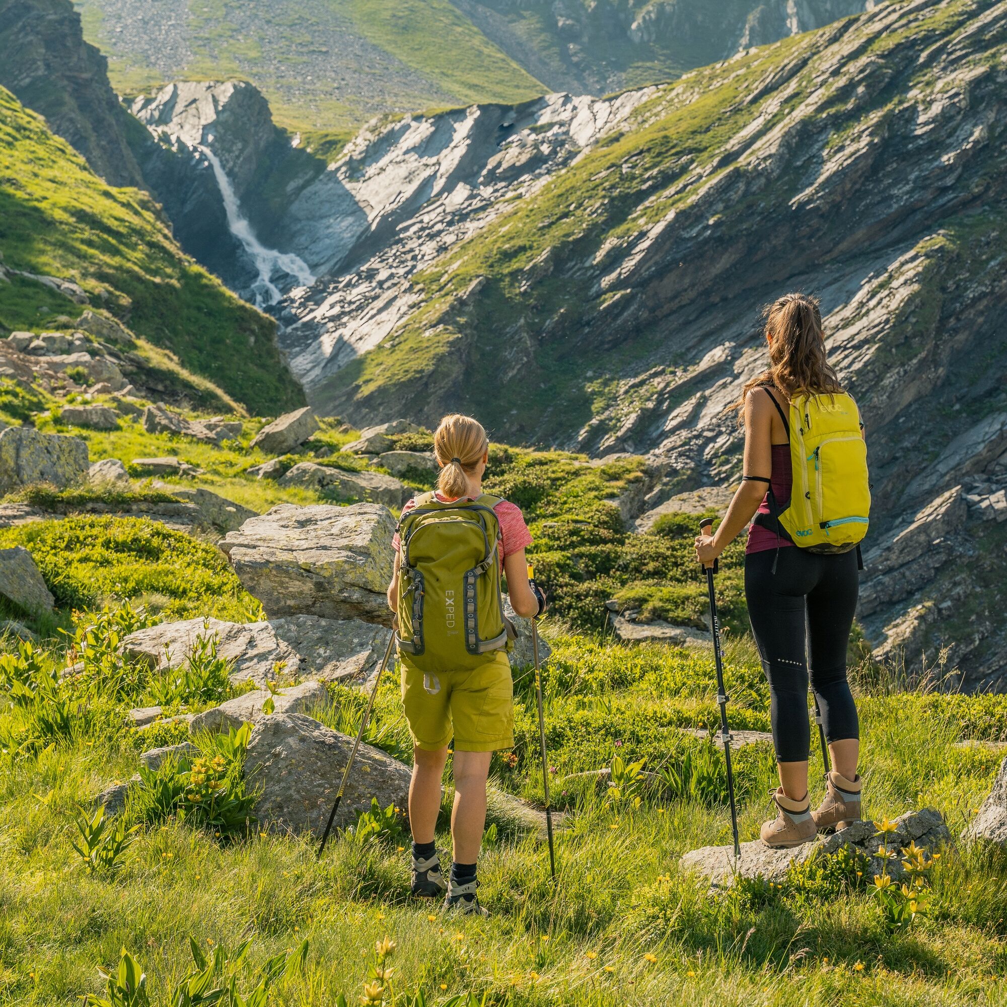
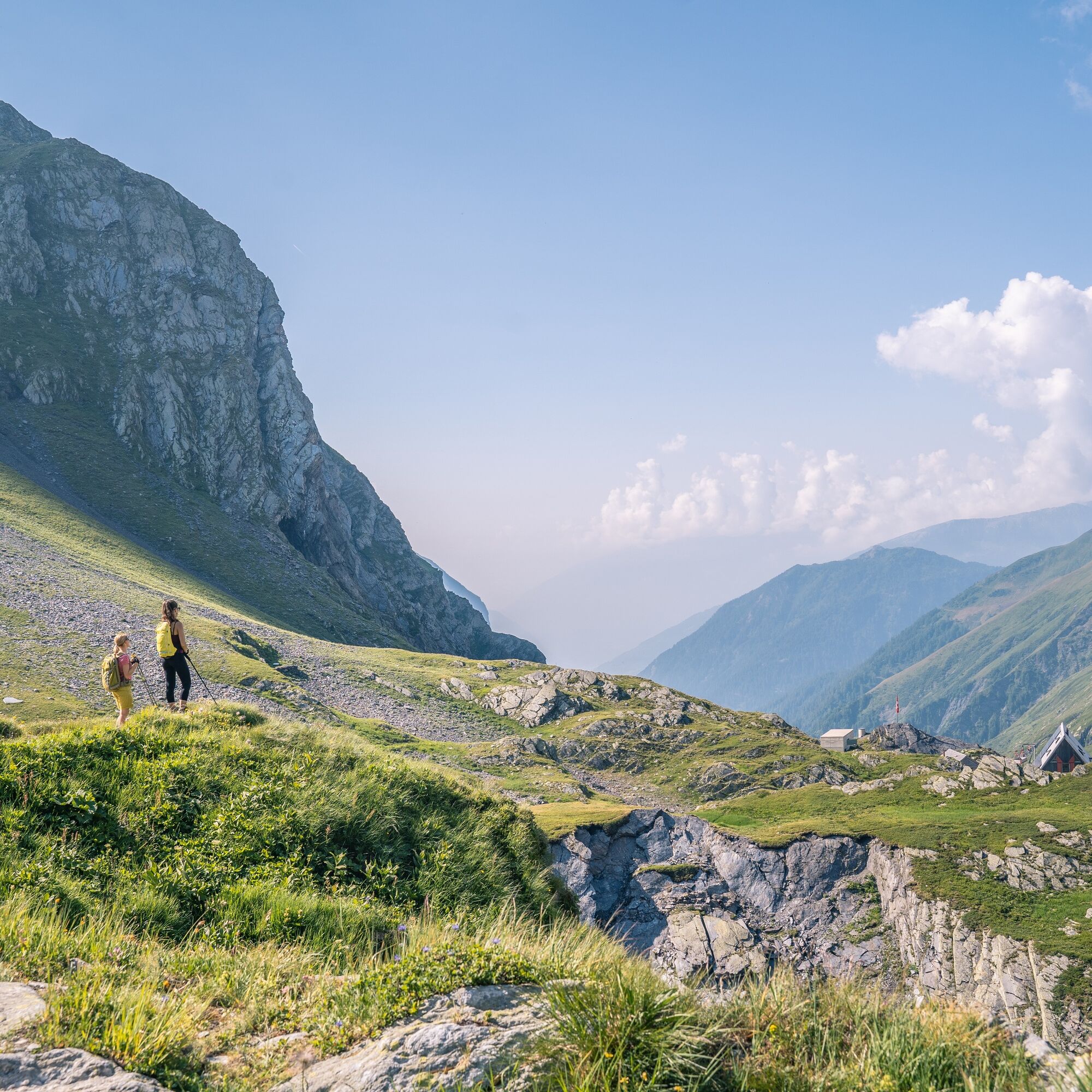
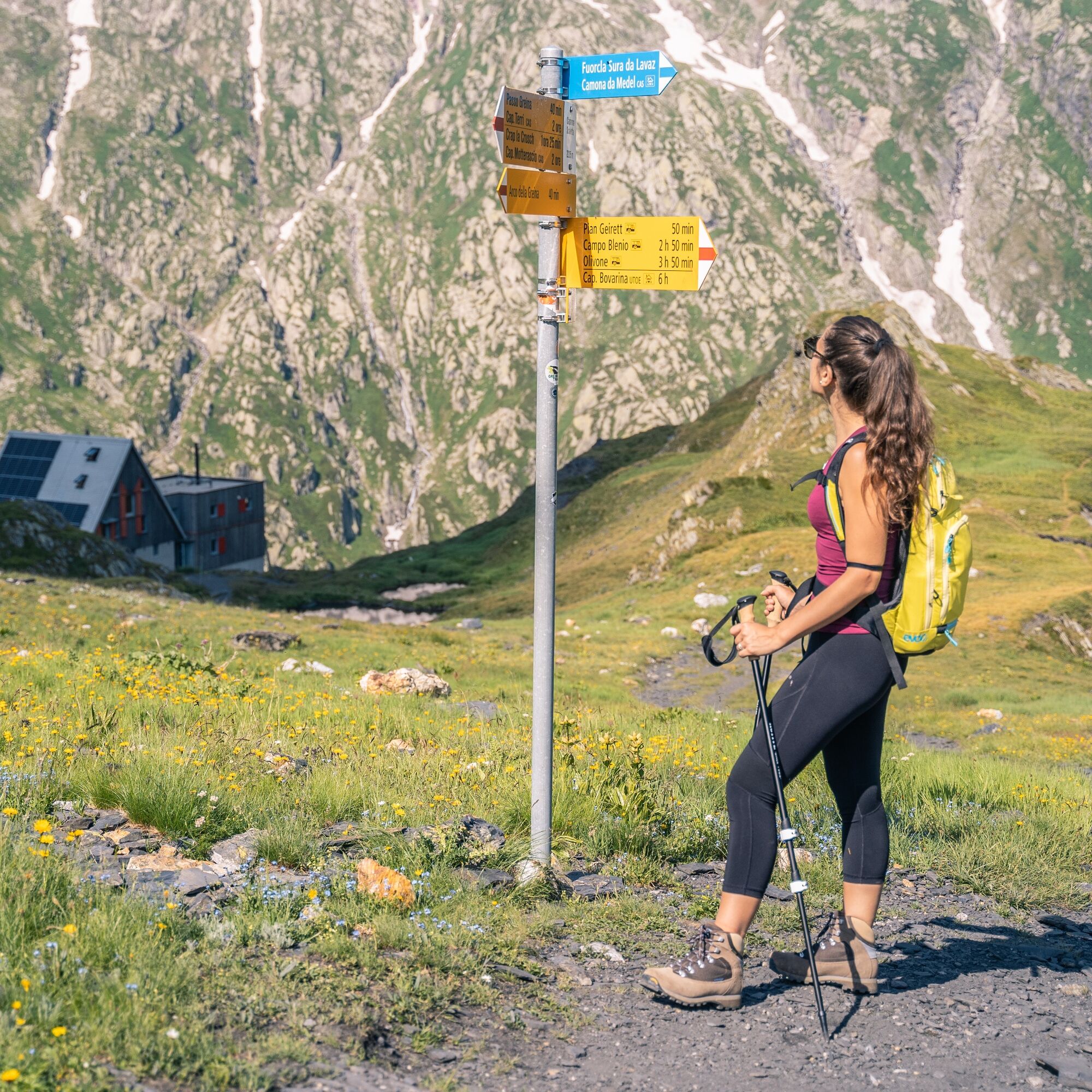
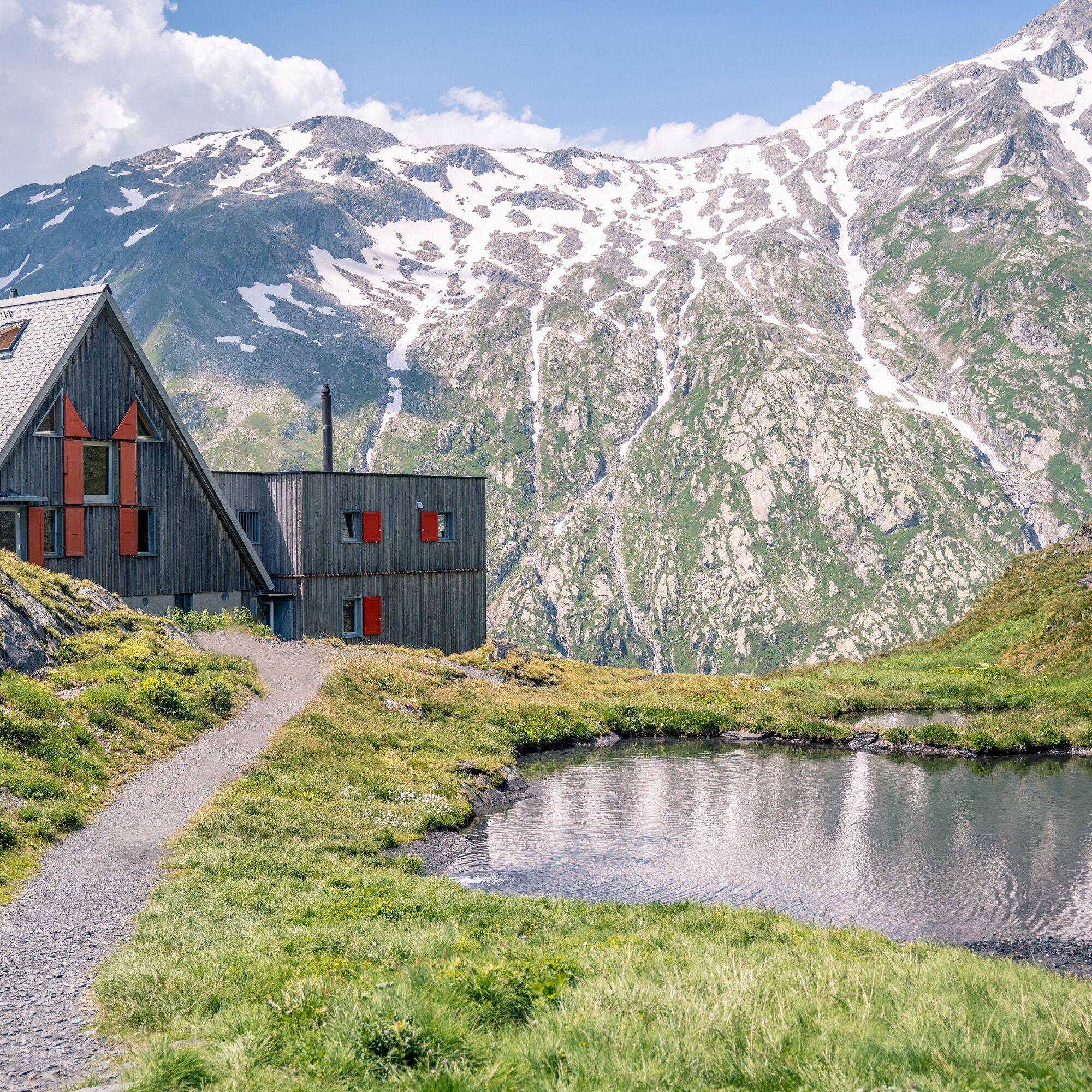
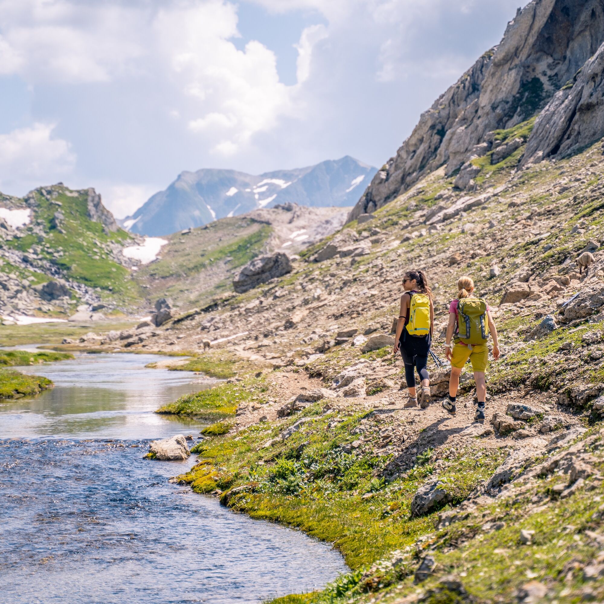

The trail can also be walked in the opposite direction (anticlockwise). Starting from Campo Blenio, where a large car park is available at the beginning of the village, the trail climbs up towards Luzzone, continuing to Alpe Garzott, to Capanna Michela-Motterascio, then to the Greina Pass and concluding the itinerary by passing through Val Camadra to Campo Blenio.
Waterproof, lightweight and warm clothing
Trekking boots
Gloves, hat, spare underwear
Backpack maximum 5-8 kg fully loaded
Small first aid kit with pocket knife
Sheet-bag for overnight in a mountain hut
Flashlight, sunglasses, sunscreen, water bottle
Hiking / topographic map
Compass
Camera
Food
Backpack cover
In den drei Zugangstälern Val Lumnezia, Val Sumvitg und Valle di Blenio verkehren von Ende Juni / anfangs Juli bis anfangs Oktober Busse. Fahrpläne, Angebote und weitere Informationen: www.busalpin.ch
From late June / early July until the beginning of October, the Alpine bus guarantees access to Greina starting from the Blenio Valley. Schedules, tourist offers and additional information are available at: www.busalpin.ch www.busalpin.ch
Montagnepulite: This project was created to promote effective and sustainable management of alpine huts in the Ticino area. In particular, waste management. Responsible waste management in the mountains is a matter of common sense. We can all contribute: www.montagnepulite.ch/it/regole-d-oro
The trail can also be traveled in the opposite direction (counterclockwise). Starting from Campo Blenio, at the beginning of the village there is a large parking lot available, ascend in the direction of Luzzone, continuing to Alpe Garzott, to the Michela-Motterascio Hut, then reaching Greina Pass and concluding the route passing through Val Camadra to Campo Blenio.
To enjoy the route we recommend purchasing the official maps from the Swiss Federal Office of Topography Swisstopo. In addition, the website map.geo.admin.ch offers constantly updated data.
Získejte přehled
Vždy živě na místě s více než 9 500 webkamerami. bergfex Jako uživatel Pro si nyní můžete zobrazit odpovídající webové kamery pro mnoho prohlídek v aplikaci prohlídky z. Můžete si tak přímo prohlédnout aktuální podmínky.

Oblíbené prohlídky v okolí
-
5.0
Panorama route
světloTuristika 5.39 km -
Giro della Greina
Turistika 50.6 km -
3.3
3-lake hike
středníTuristika 12.8 km -
5.0
Winter hike Gadastatt - Frunt - Zerfreila (Panorama trail)
světloZimní turistika 5.36 km -
5.0
2-day hike Greina high plateau
středníTuristika 14.9 km -
5.0
Southeast Switzerland Hiking Day Vals 2017
světloTuristika 11.8 km -
Piz Terri, 3.149 m
středníVysokohorská turistika 6.92 km -
3.5
Places of Magic - Lumbrein
středníTuristika 8.74 km -
5.0
Disentis - Cavardiras - Cupadials - Sumvitg
světloTuristika 13.7 km -
Furggelti 2712m
heavyTuristika 18.7 km
Pěší turistika a stopování


Nenechte si ujít nabídky a inspiraci pro vaši příští dovolenou
Vaše e-mailová adresa byl přidán do poštovního seznamu.





