






A walk in Giornico
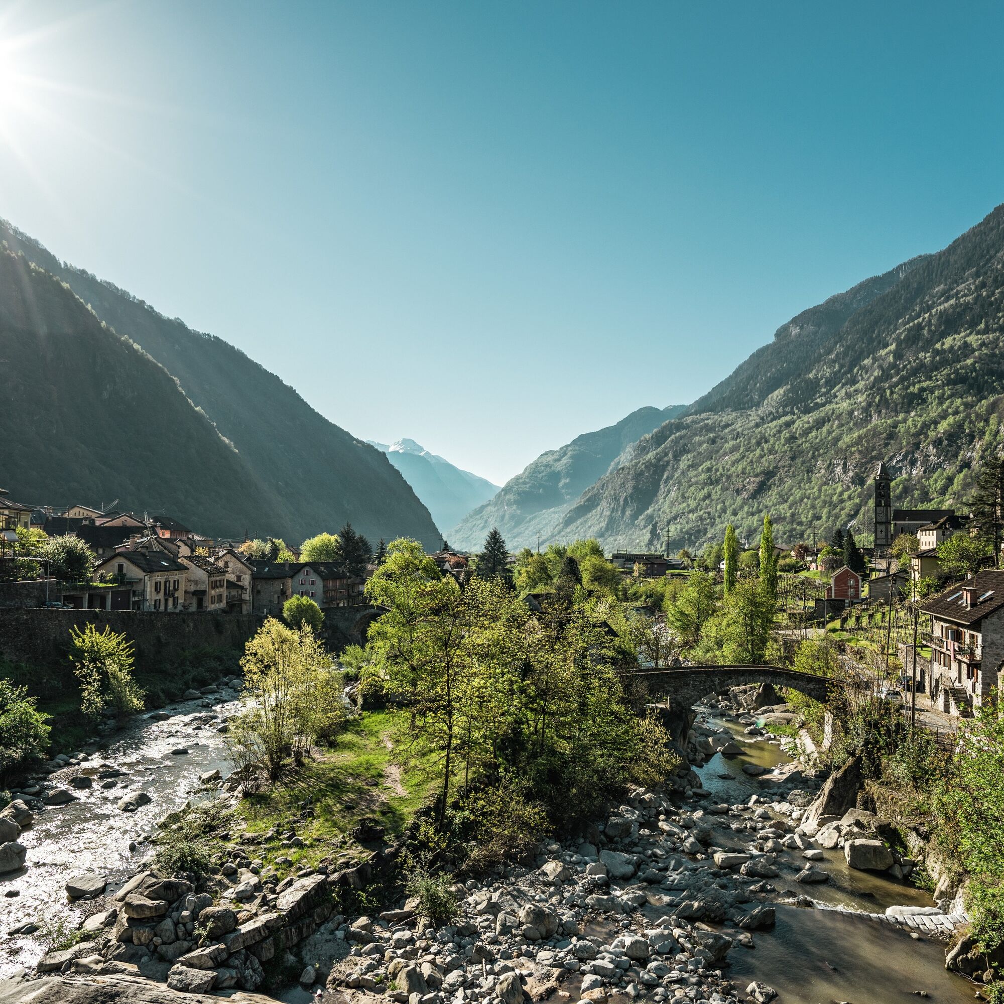
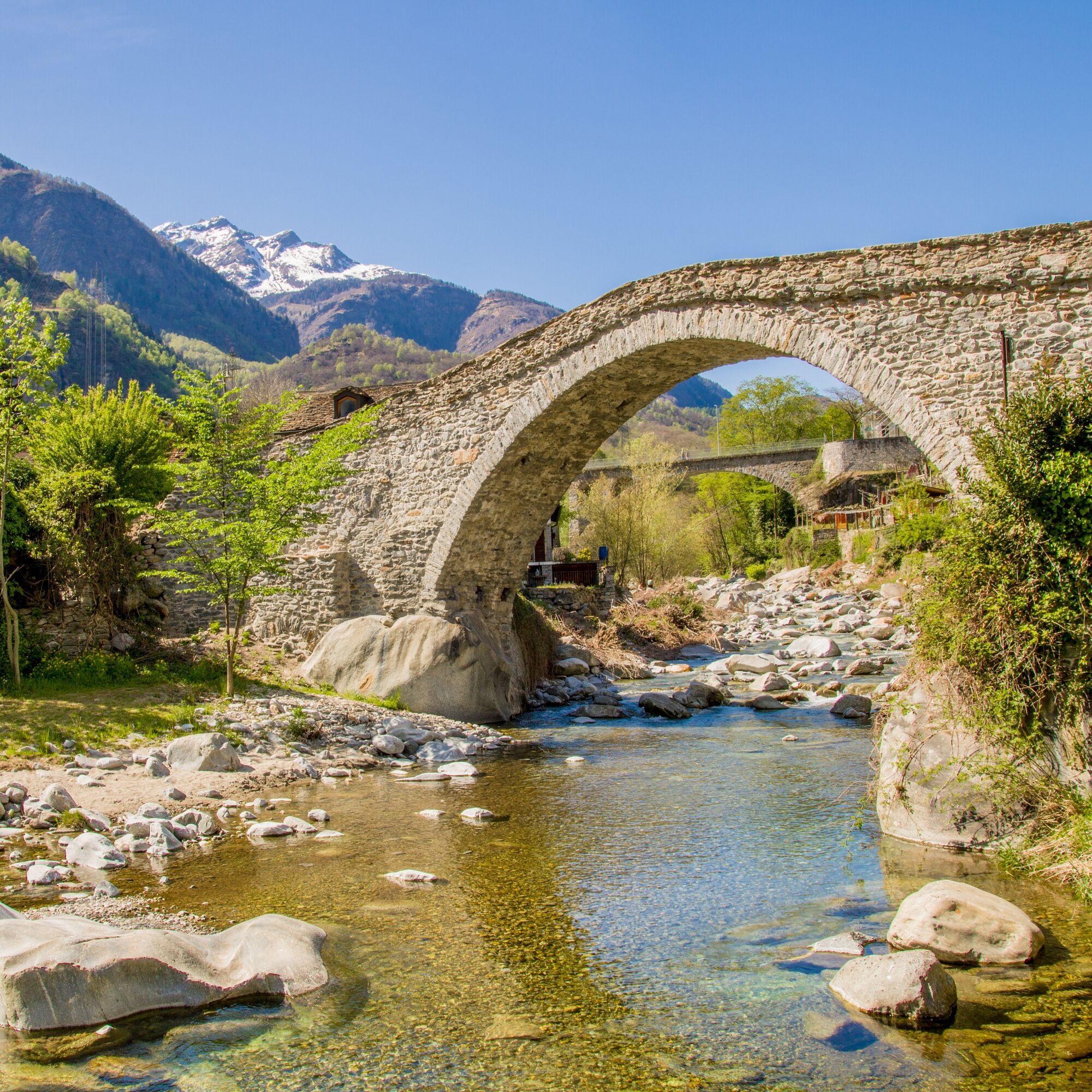
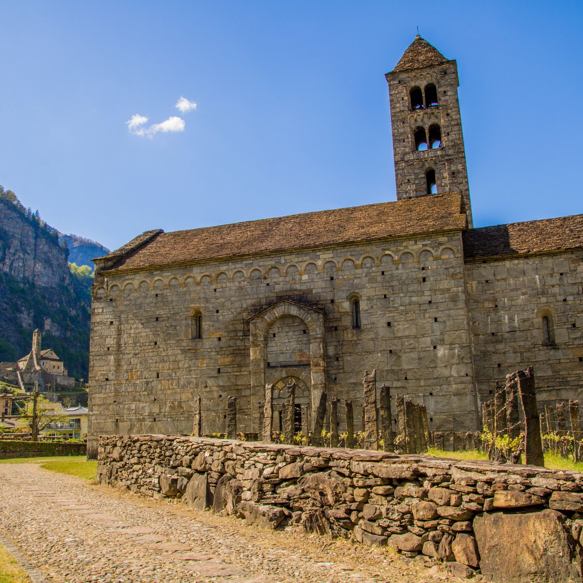
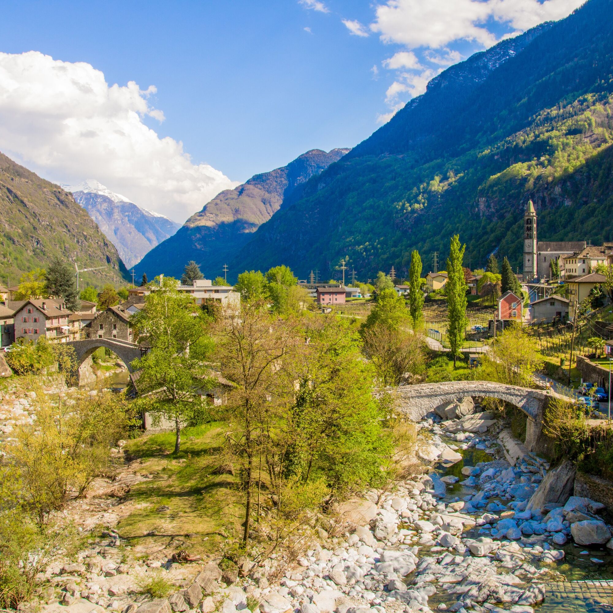
Giornico, thanks to its remarkable historical and cultural heritage, is a true open-air museum and one of the most beautiful villages in Switzerland. The Church dedicated to Saint Nicholas of Bari, commonly...
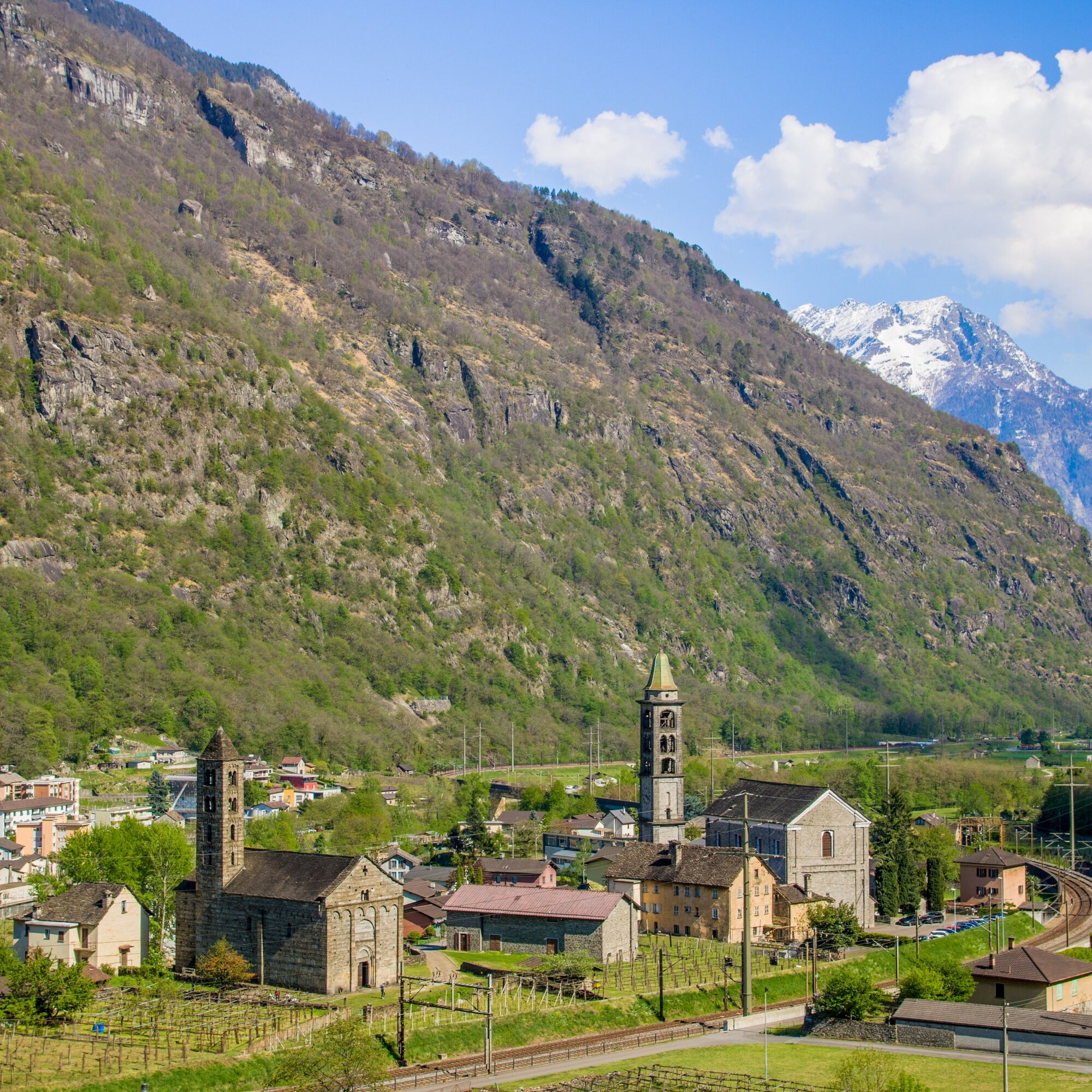
Giornico, thanks to its remarkable historical and cultural heritage, is a true open-air museum and one of the most beautiful villages in Switzerland. The Church dedicated to Saint Nicholas of Bari, commonly called San Nicolao – built in the 12th century and documented in 1202 by a parchment from the parish archive of Chironico – is considered one of the best examples of Lombard Romanesque architecture in the Canton of Ticino.
Also interesting are the other 6 churches, among which two of the oldest, Santa Maria del Castello and San Pellegrino. Access to these two buildings has become easier thanks to the “Keys of Culture” application (www.chiavicultura.ch).
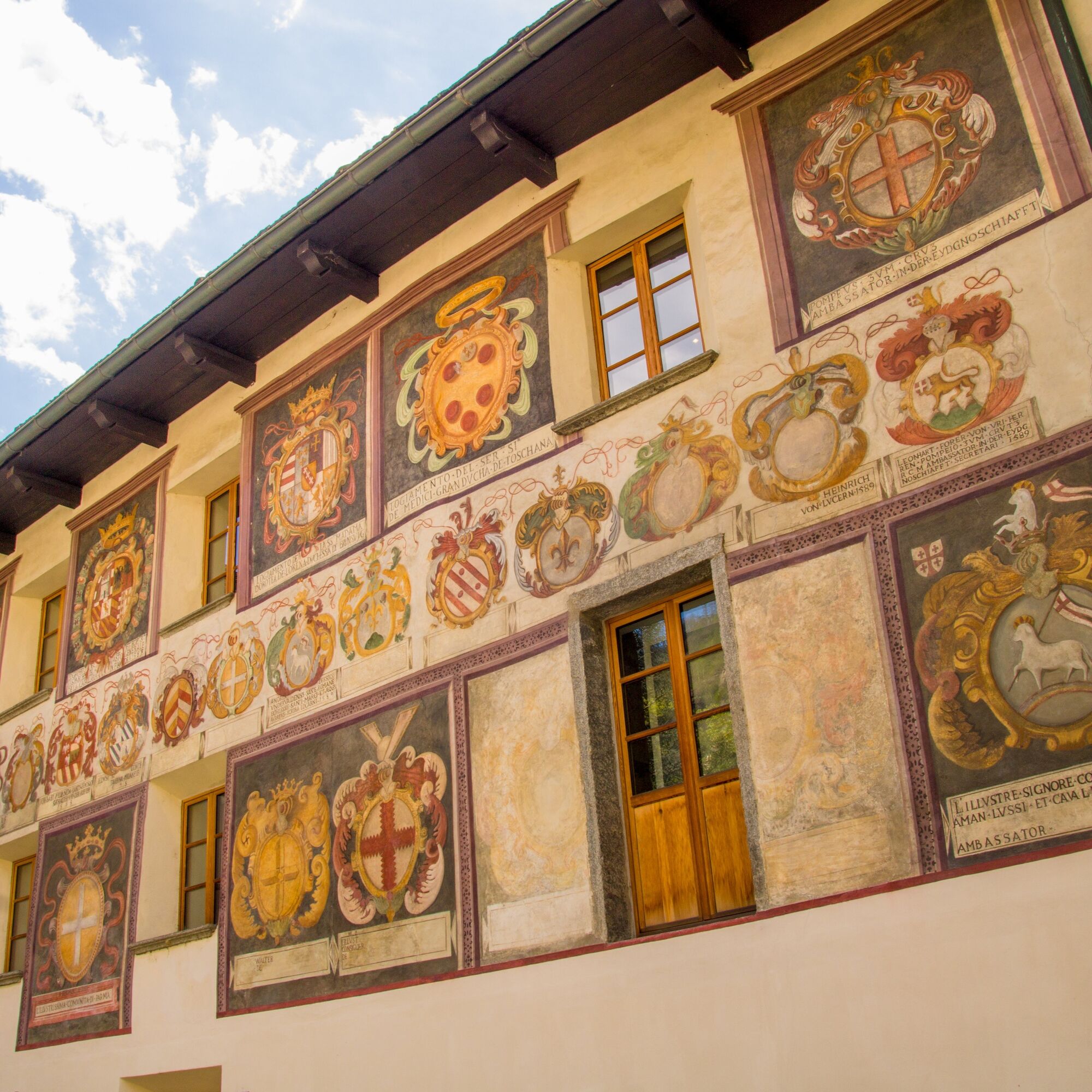
In Giornico there are also several old houses such as the so-called “Degli Stanga” with its interesting frescoes on the facade. The house is home to the Leventina Museum. Worth visiting as well is La Congiunta, a reinforced concrete building by architect Peter Märkli housing works by artist Hans Josephsohn.
As a testimony to historical events, there is the “Battle of the Big Stones Monument,” a work of the sculptor Apollonio Pessina from Ligornetto, inaugurated on August 1, 1937, in remembrance of the battle fought on December 28, 1478, between Leventina residents and Confederates against Milanese troops.


Ano
Hiking boots
Cap
Water bottle
Sunglasses
Sunscreen
Hiking map
Camera
Food
Montagnepulite: This project was created to promote effective and sustainable management of alpine huts in the Ticino area, particularly waste management. Responsible waste management in the mountains is a matter of common sense.
We can all contribute: www.montagnepulite.ch
Získejte přehled
Vždy živě na místě s více než 9 500 webkamerami. bergfex Jako uživatel Pro si nyní můžete zobrazit odpovídající webové kamery pro mnoho prohlídek v aplikaci prohlídky z. Můžete si tak přímo prohlédnout aktuální podmínky.
Oblíbené prohlídky v okolí
-
3.3
Entlang der Verzasca von Sonogno via Brione nach Lavertezzo
světloTuristika 14.5 km -
5.0
Lavertezzo-Brione Verzasca
světloTuristika 6.50 km -
4.5
Brione Verzasca-Sonogno
světloTuristika 8.28 km -
4.8
Tibet Suspension Bridge Route Riasc
světloTuristika 6.12 km -
Frasco-Efra Hut-Frasco
heavydálková pěší trasa 17.6 km -
Alta Verzasca Bike (SwitzerlandMobility 399)
středníMountainbike 8.92 km -
5.0
Sonogno-Corte-Sonogno
středníTuristika 5.64 km -
5.0
Excursion to the Tremorgio and Morghirolo lakes
heavyTuristika 24.2 km -
Via Alta della Verzasca
heavyTuristika 53.1 km -
5.0
Discovering the Lakes of Chièra
středníTuristika 8.19 km
Pěší turistika a stopování


Nenechte si ujít nabídky a inspiraci pro vaši příští dovolenou
Vaše e-mailová adresa byl přidán do poštovního seznamu.





