







The pearls of the Malvaglia Valley

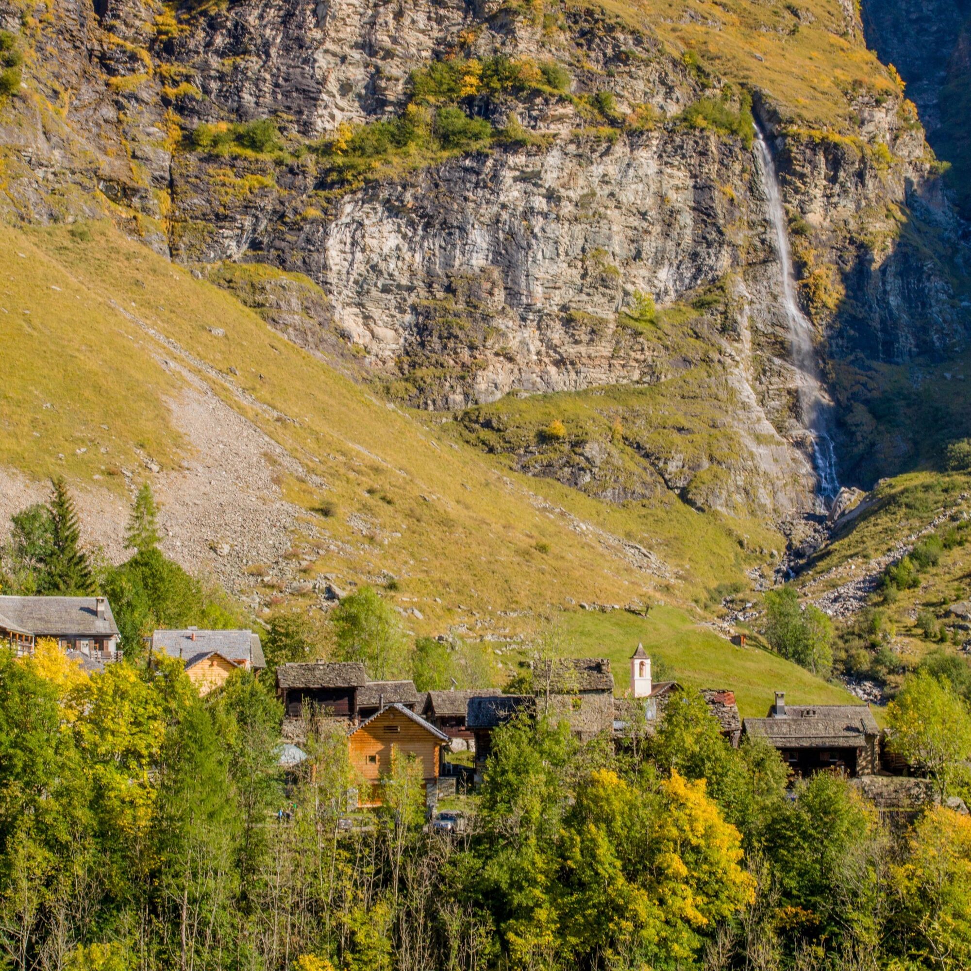
After zigzagging our way from the road to Cascina di Dagro, we too can play hide and seek by plunging into a dense forest that, in little more than an hour, will take us to the high pastures of Prou, at...
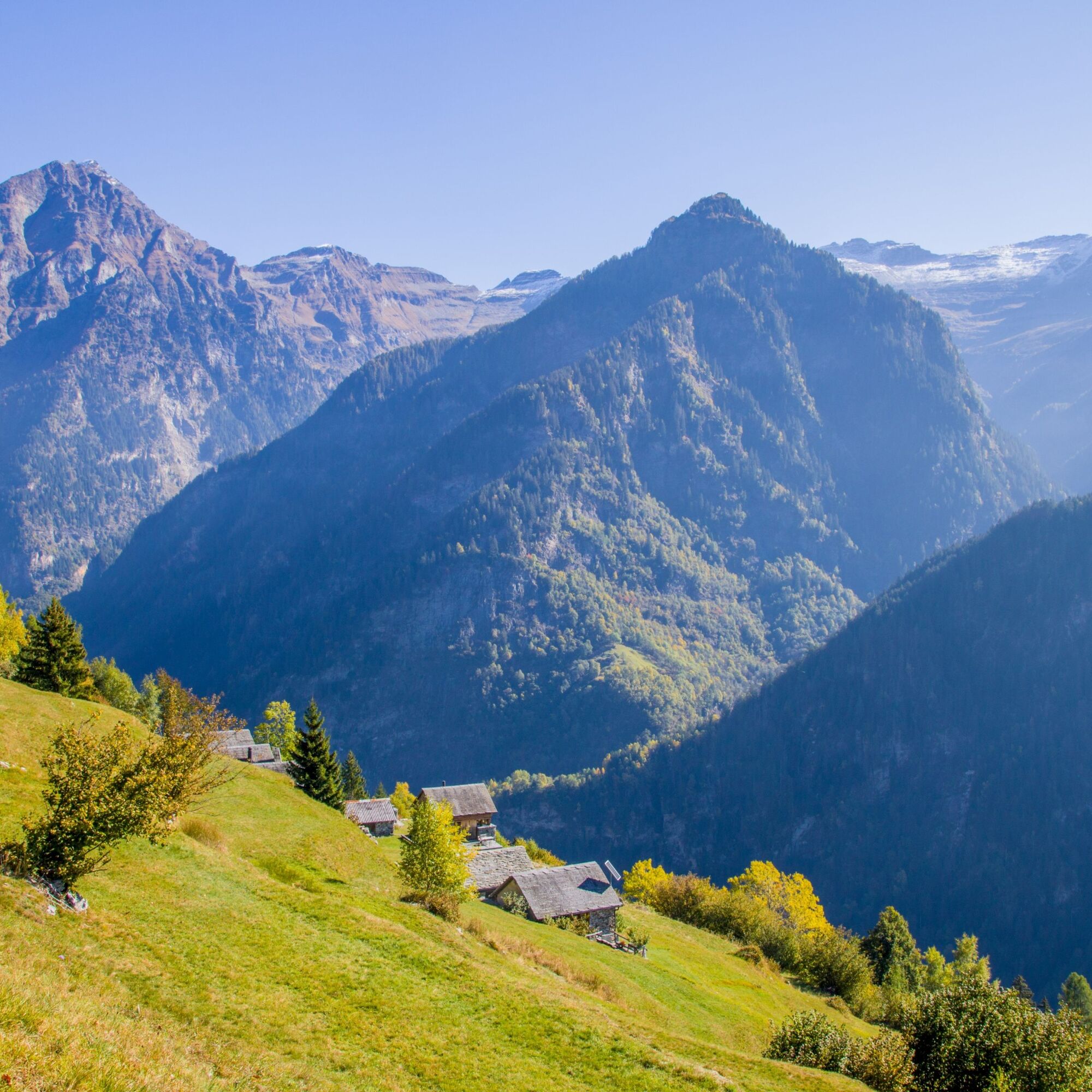
After zigzagging our way from the road to Cascina di Dagro, we too can play hide and seek by plunging into a dense forest that, in little more than an hour, will take us to the high pastures of Prou, at 2000 metres above sea level, where the old alpine pasture now used as a refuge.
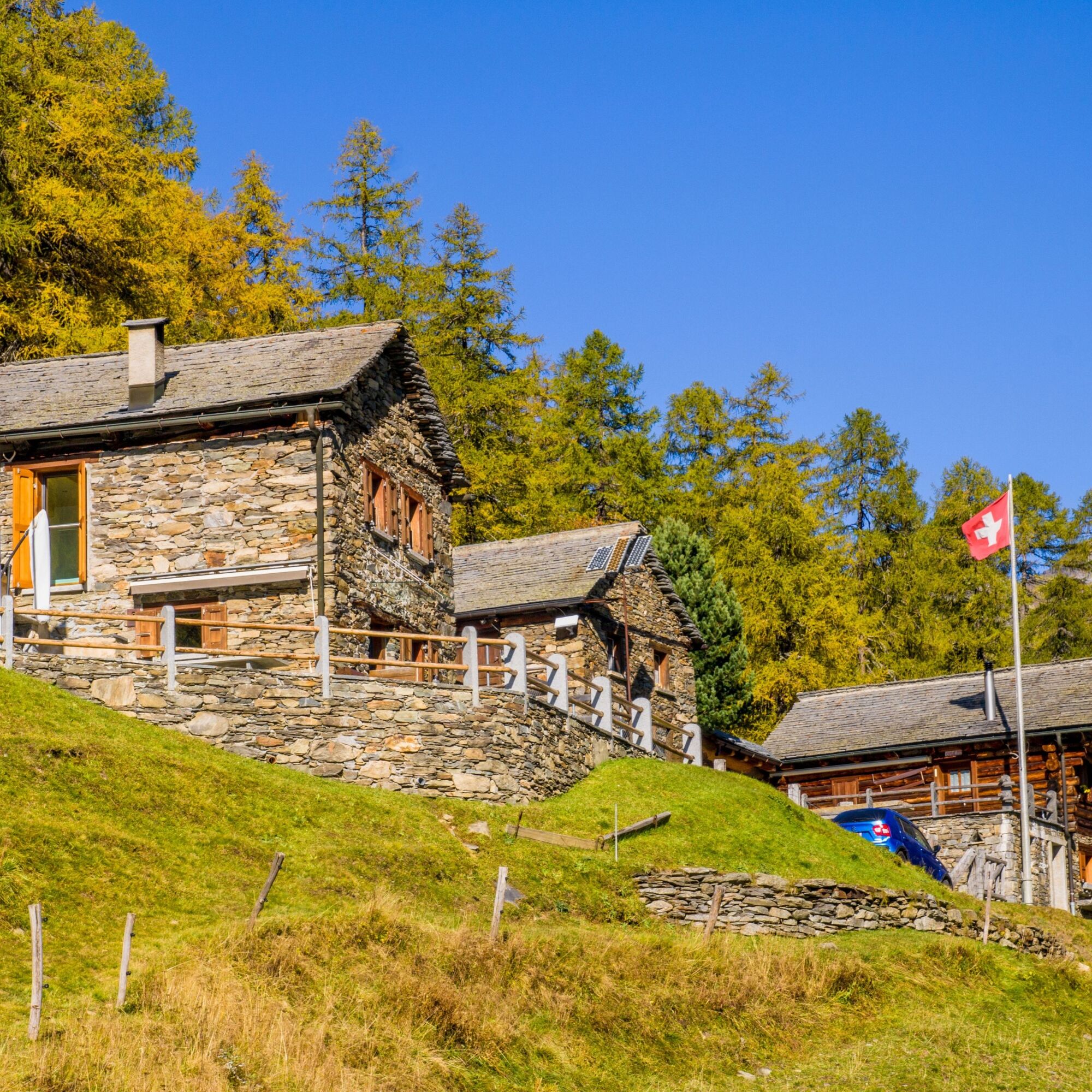
With ease, we continue along the more or less level path, which in three quarters of an hour allows us, maintaining the same altitude, to reach the pleasant Alpe di Cióu alpine pasture, which includes a couple of truly suggestive masonry buildings.
Behind the huts rises the steep southern flank of the Cima di Piancabella, an impervious slope called Madéi. The place name reveals that wild hay was also mown here. From Ciòu, you can return to Dagro on the path that descends towards the forest, which, in the shade of conifers, passes along the Ör della Strega, the 'Witch's Ridge', until you return to Cascina di Dagro and Dagro.


Ano
Hiking boots
Sun cap
Water-bottle
Sunglasses
Sun cream
Hiking map
Camera
Food
Montagnepulite: This project was born to promote an effective management and sustainable use of mountain huts in Ticino, and in particular the litter management. The responsible management of litter in the mountains is a matter of common sense. We can all contribute: www.montagnepulite.ch



Oblíbené prohlídky v okolí
-
4.8
Tibet Suspension Bridge Route Riasc
světloTuristika 6.12 km -
Furggelti 2712m
heavyTuristika 18.7 km -
4.5
Carassino Valley Via Alta
Turistika 14.0 km -
Trailrun - Zerfreilahorn circuit
heavyTrailrunning 21.3 km -
Pizzo Cassinello 3103 m
heavyVysokohorská turistika 11.4 km -
3.0
Faido and the Piumogna waterfall
Turistika 6.94 km -
3 day route Greina-Lucomagno: Capanna Scaletta - Capanna Bovarina (Stage 2)
střednídálková pěší trasa 13.3 km -
Crown Hike (12 stages)
heavydálková pěší trasa 213.1 km -
5.0
MTB Tour to Lampertschalp
středníMountainbike 29.2 km -
Cima del Simano (2580 m)
Turistika 9 km
Pěší turistika a stopování


Nenechte si ujít nabídky a inspiraci pro vaši příští dovolenou
Vaše e-mailová adresa byl přidán do poštovního seznamu.





