







Ascona-Balladrüm-Ascona
Úroveň obtížnosti: T2
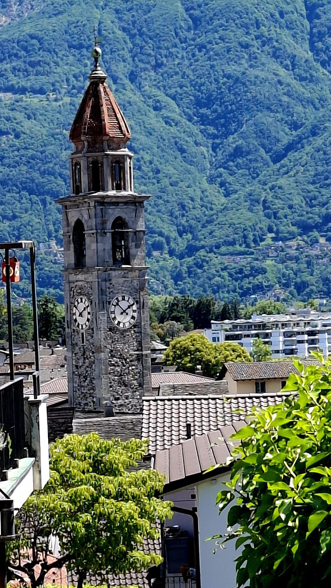
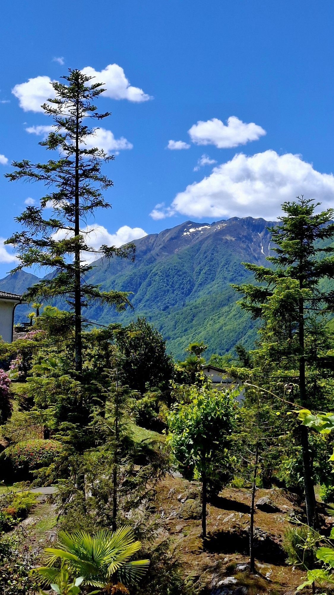
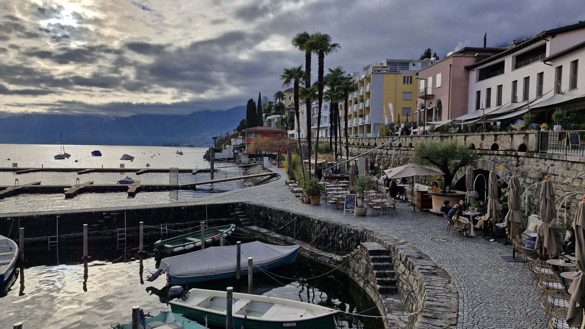
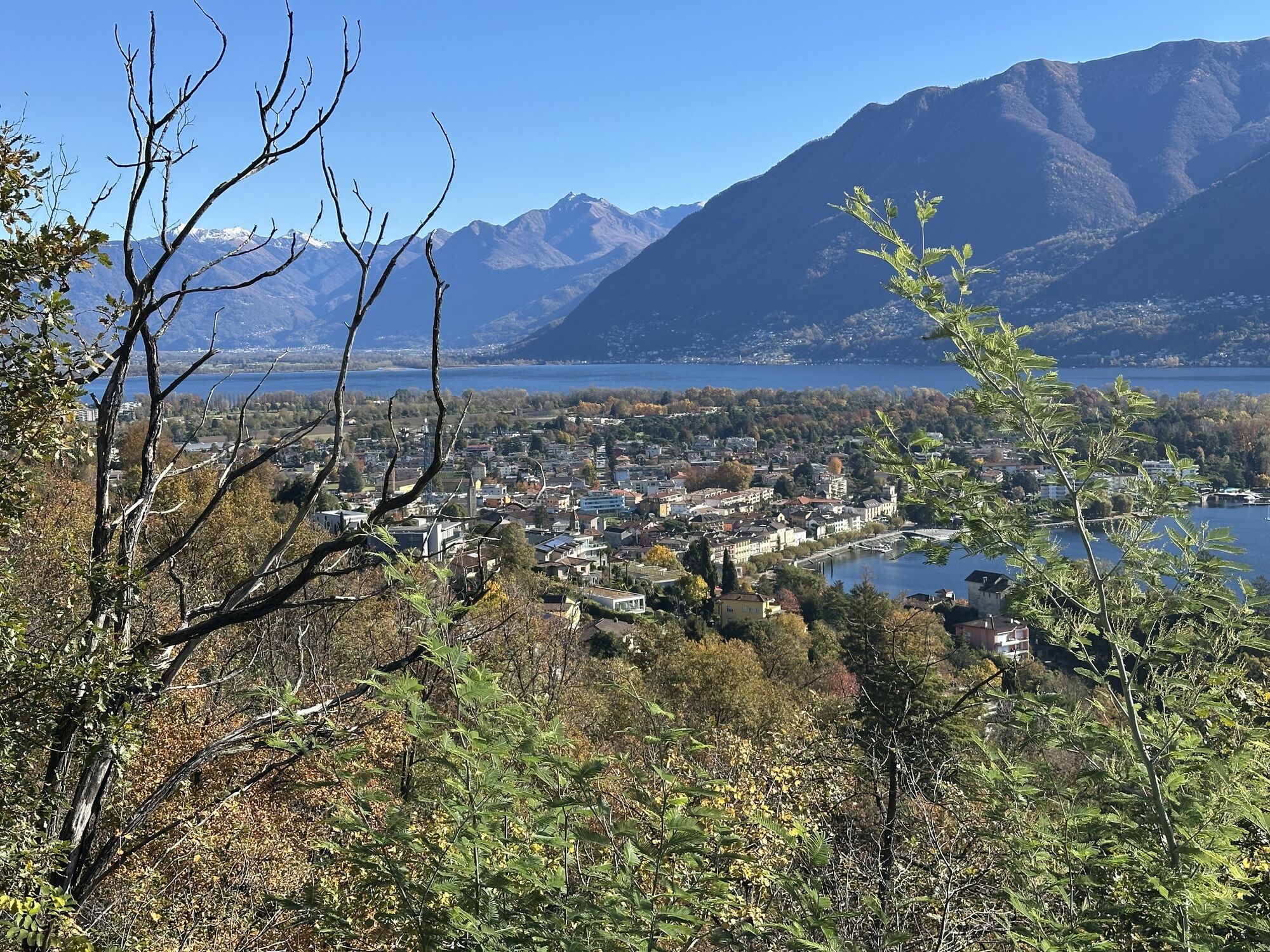
A long staircase leads from Ascona to Monte Verità. On the staircase, called "Scalinata della Ruga," there is a unique atmosphere that you can immediately feel and see. Once at the top, it is recommended...
A long staircase leads from Ascona to Monte Verità. On the staircase, called "Scalinata della Ruga," there is a unique atmosphere that you can immediately feel and see. Once at the top, it is recommended to take a stroll through the historically rich gardens of Monte Verità. The trail starts to the left of the large playground "Parsifal." You enter the forest, first on asphalt and then on a trail towards Balladrüm. At the foot of Balladrüm, you walk along the rock to where a small and discreet path leads up the hill. After a short hike, you soon reach the summit. From here, you can also see the Brissago Islands. The area is also very popular for climbing. Those who prefer to avoid the ascent can continue to follow the trail, which now leads again on the other side back to the playground. There is a snack bar right next to the playground. Along this trail, there are many entertaining wooden figures. The return trail to Ascona is the same as the ascent.

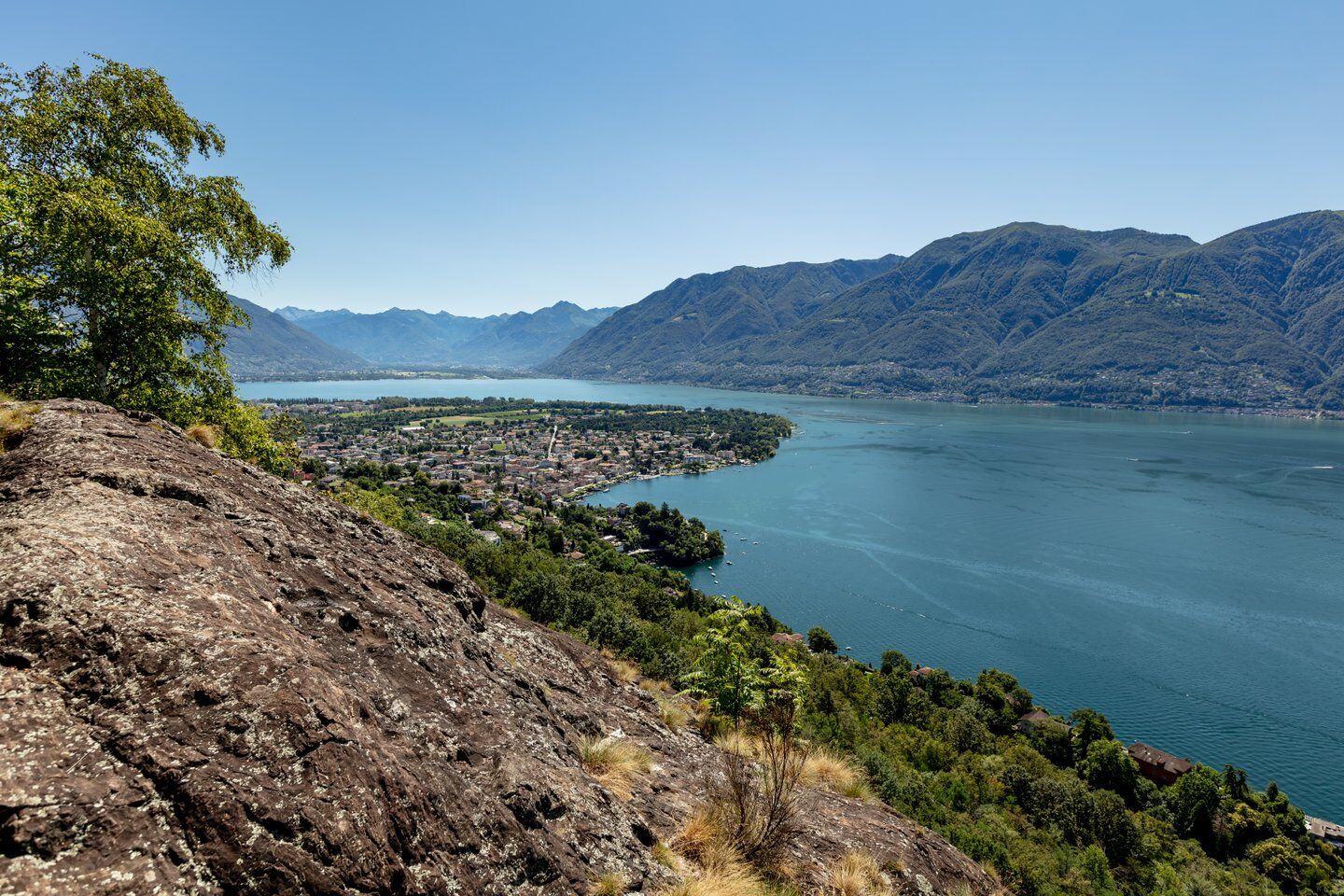
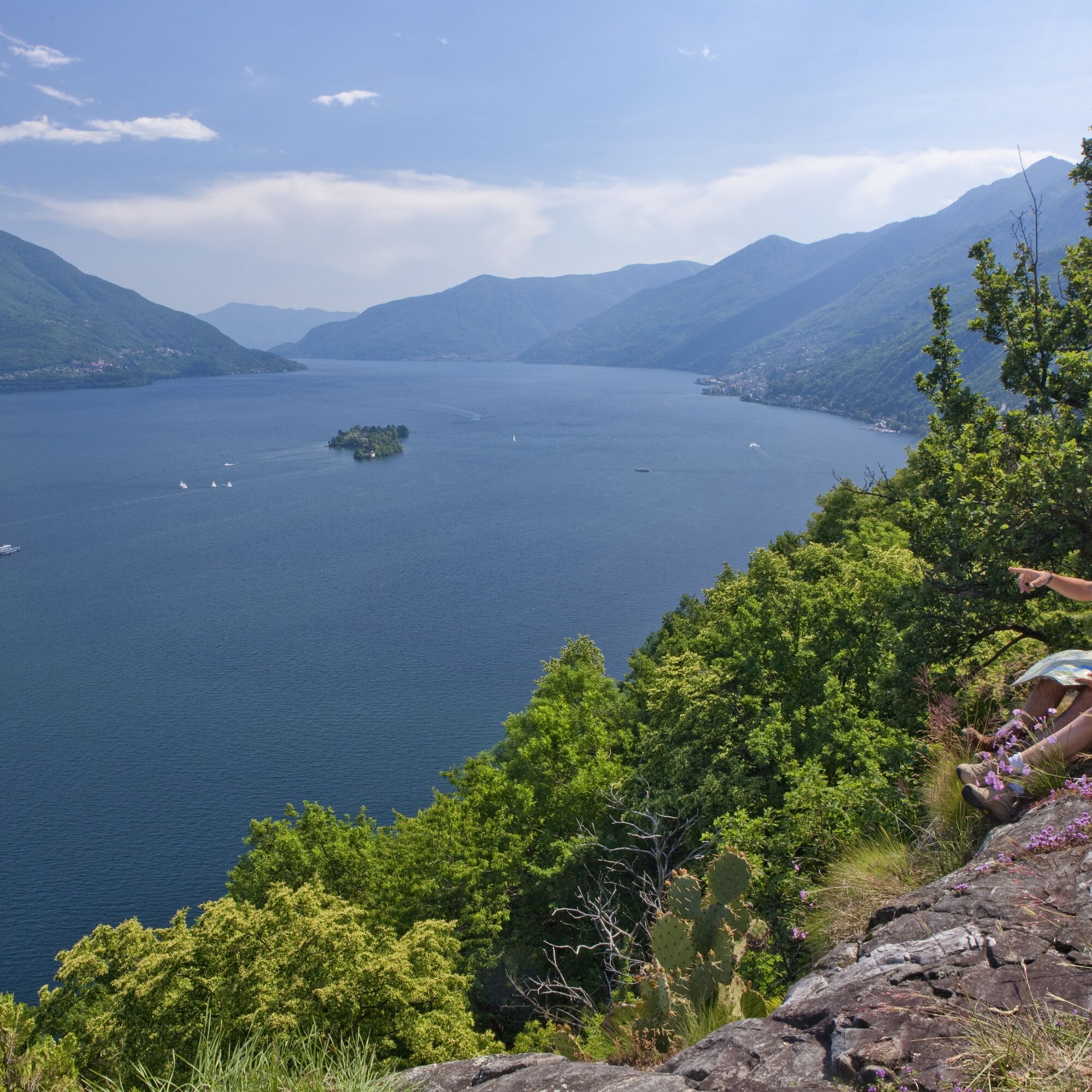

Ascona, Town-Premacagno-Balladrüm-Premacagno-Ascona, Town
Ano
Hiking backpack (approx. 20 liters) with rain cover
Sturdy and comfortable shoes
Clothing suitable for weather conditions and durable, layering principle and possibly trekking poles
Sun and rain protection
Provisions and potable water
First aid kit
Pocket knife
Cell phone, possibly headlamp
Mapping material
Swiss Paths - Safe hikes
From Locarno train station: Take bus 1 in the direction of Losone, Sottochiesa. Get off at the bus stop Ascona, Centro.
From Ascona: Take bus 1 in the direction of Gordola, Centro Professionale. Get off at Locarno, Piazza Stazione.
T2
Získejte přehled
Vždy živě na místě s více než 9 500 webkamerami. bergfex Jako uživatel Pro si nyní můžete zobrazit odpovídající webové kamery pro mnoho prohlídek v aplikaci prohlídky z. Můžete si tak přímo prohlédnout aktuální podmínky.
Oblíbené prohlídky v okolí
-
4.6
Verzasca Dam-Mergoscia-Corippo-Lavertezzo
středníTuristika 13.0 km -
4.8
Valle del Salto round route (SvizzeraMobile 611)
středníTuristika 8.84 km -
4.8
Avegno-Ponte Brolla-Avegno
středníTuristika 8.56 km -
5.0
Lavertezzo-Brione Verzasca
světloTuristika 6.50 km -
4.5
Revöira Ethnographic Trail (SwitzerlandMobility 629)
středníTuristika 7.97 km -
3.8
Cannobio zu Sant’Aagata
světloTuristika 5.85 km -
4.0
Cardada Bike (SwitzerlandMobility 397)
heavyMountainbike 30.6 km -
5.0
Verzasca Dam-Monti di Motti-Verzasca Dam
středníTuristika 9.31 km -
Cardada-Cimetta-Alpe Vegnasca-Cardada
středníTuristika 6.86 km -
Via Alta Vallemaggia - 1st stage: Cimetta-Capanna Alpe Nimi
heavyTuristika 10.2 km

Pěší turistika a stopování


Nenechte si ujít nabídky a inspiraci pro vaši příští dovolenou
Vaše e-mailová adresa byl přidán do poštovního seznamu.





