


Loco-Vosa-Intragna
Úroveň obtížnosti: T2
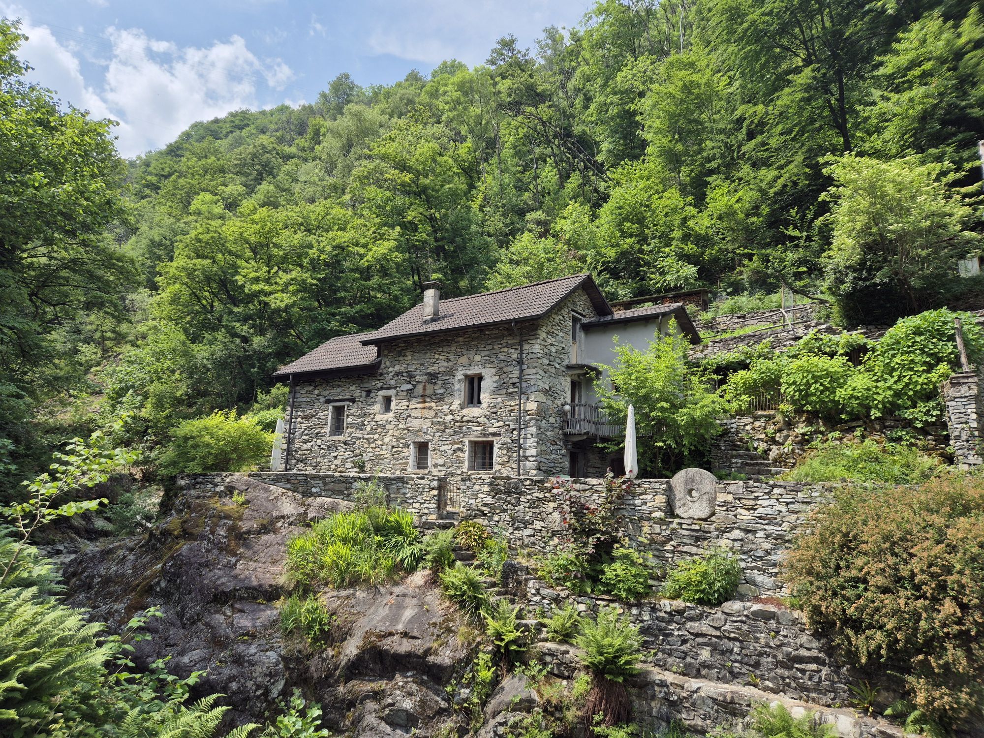
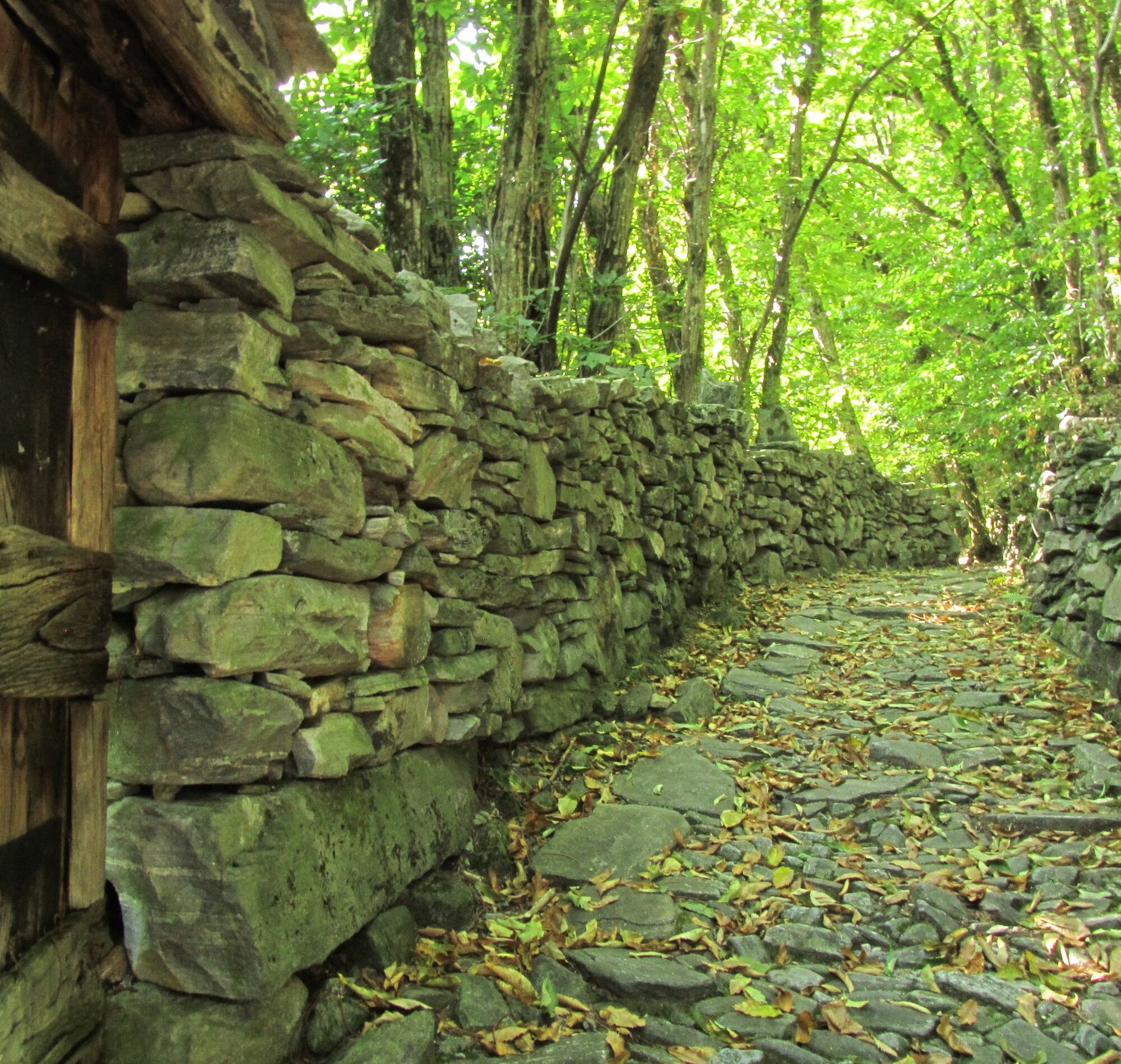
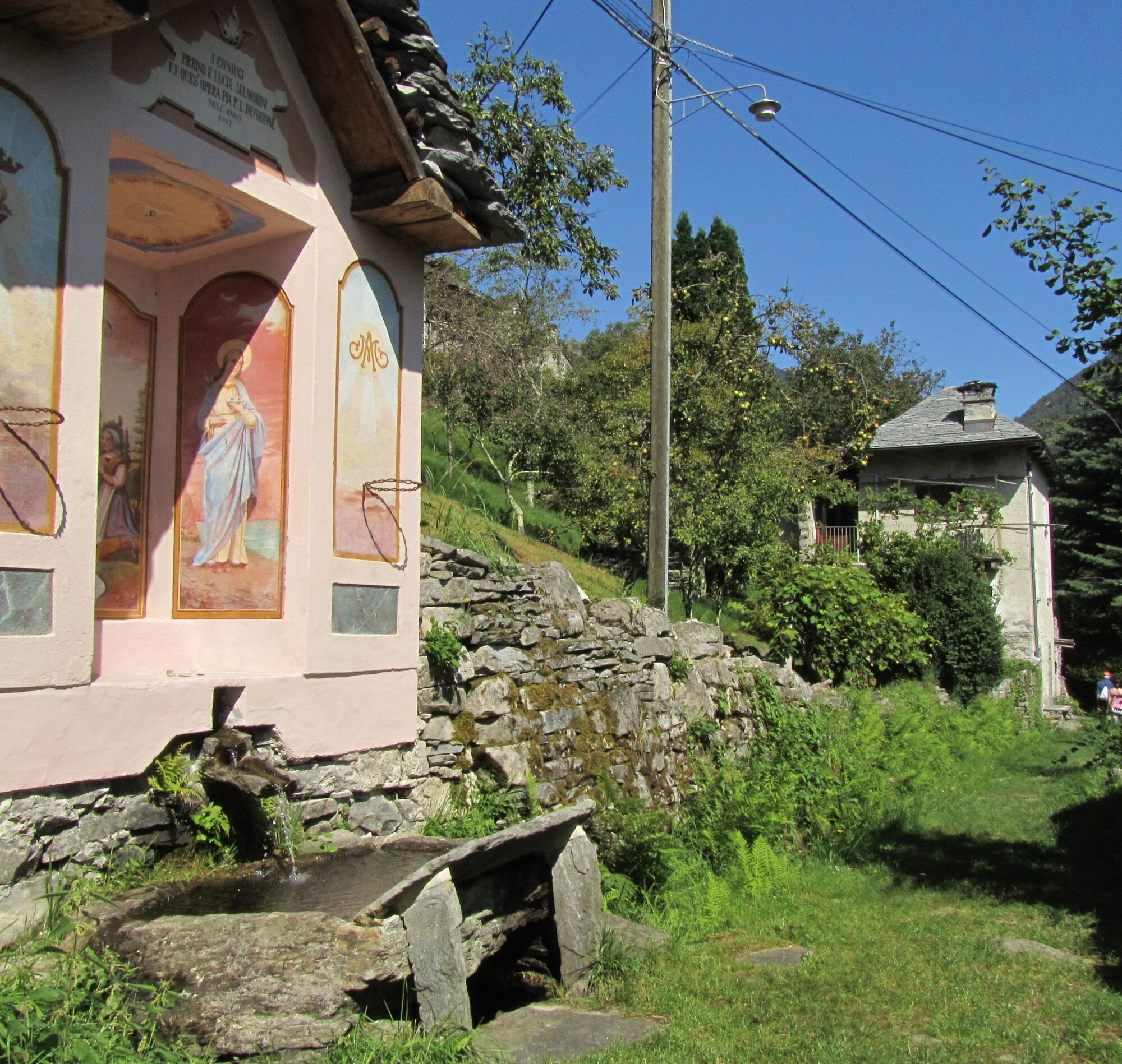
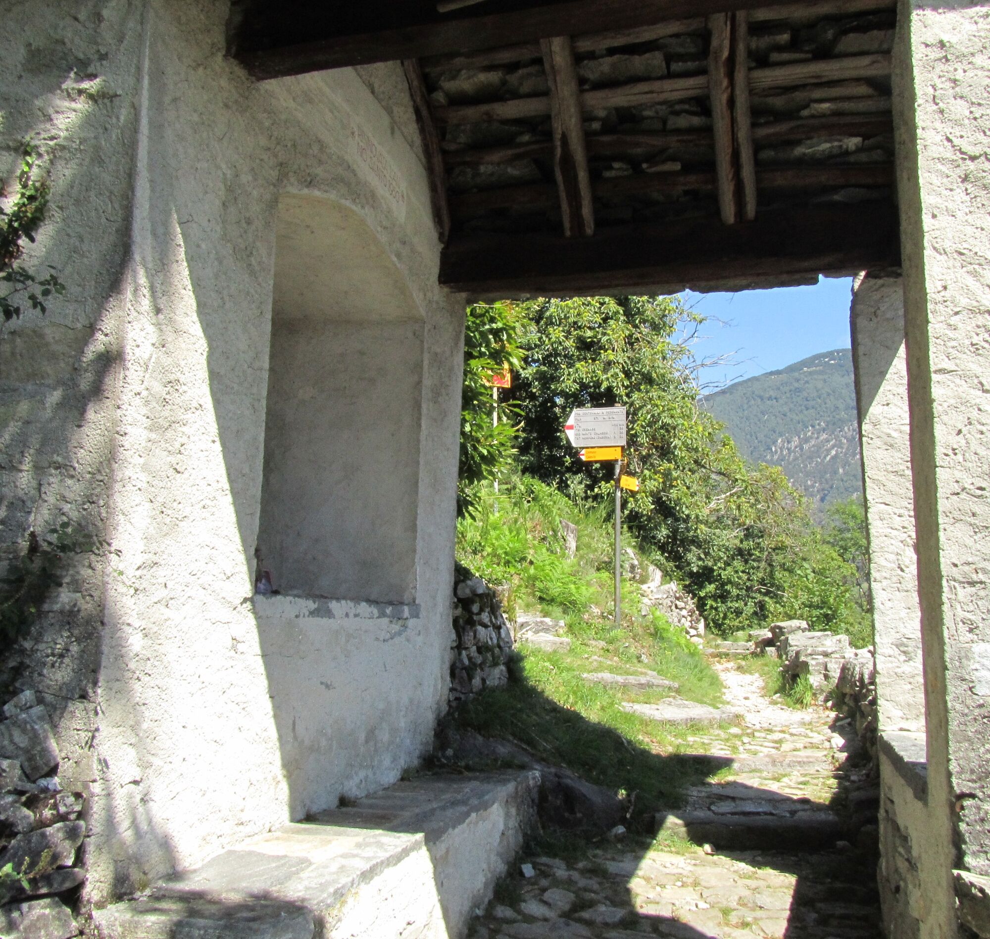
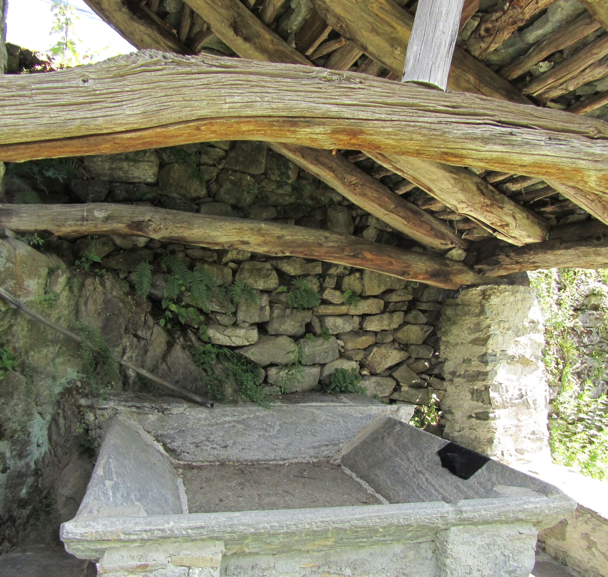
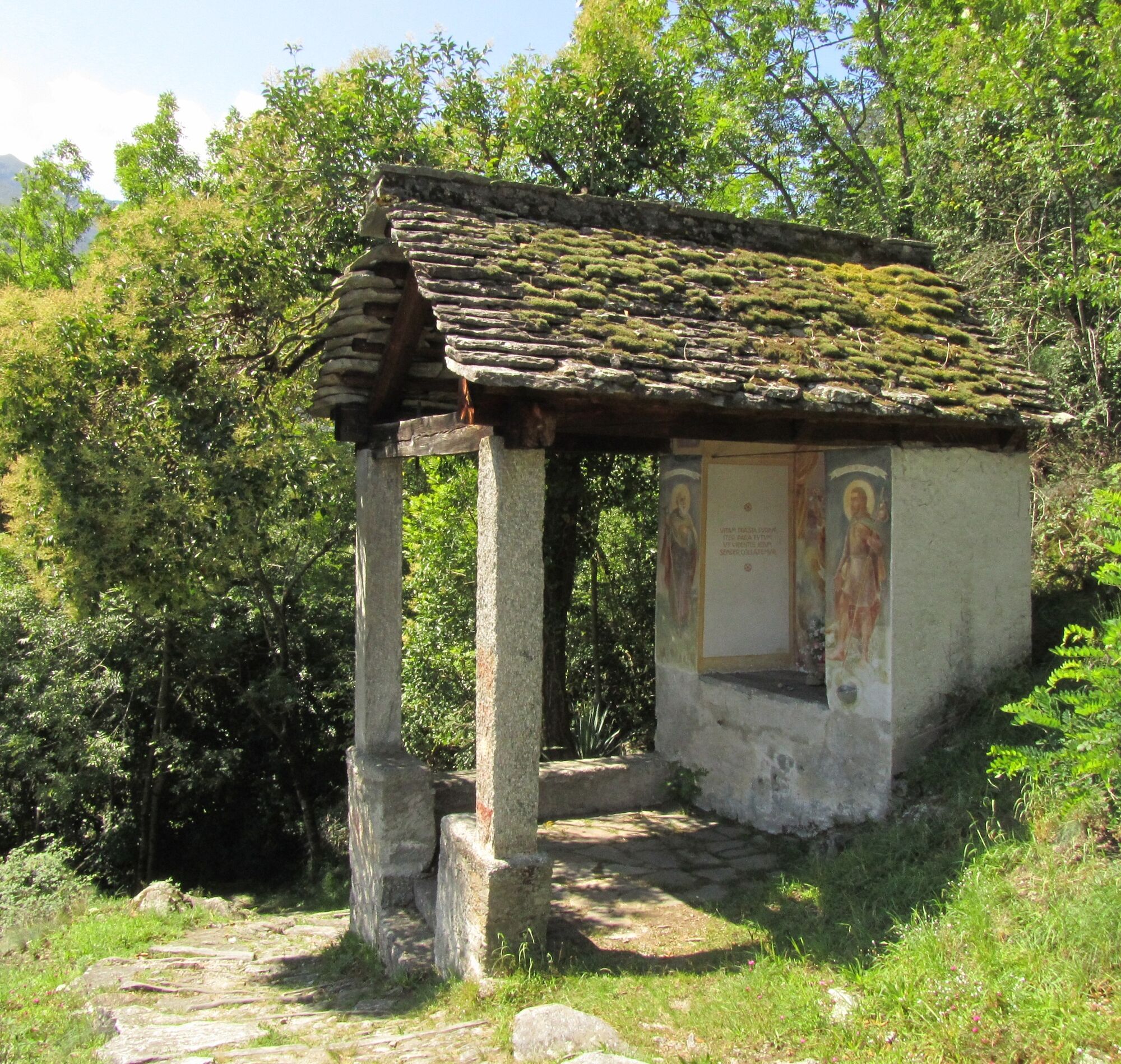
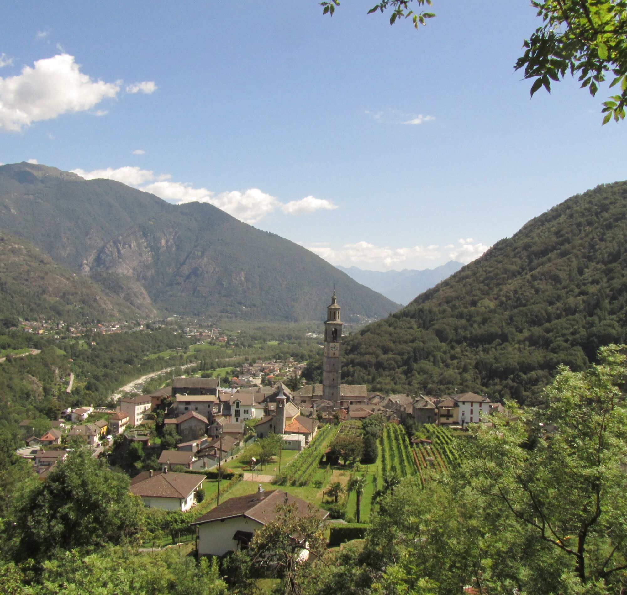
The bus reaches Loco, where the «Via delle Vose» begins. The ancient mule track was used in the past by the valley inhabitants for transporting goods to the port of Ascona and the market of Locarno. Before...
Attention: the Intragna-Pila-Costa cable car is not in operation until further notice due to renovation works. Information is available on the website www.ascona-locarno.com/funivia-intragna or at our information desks.

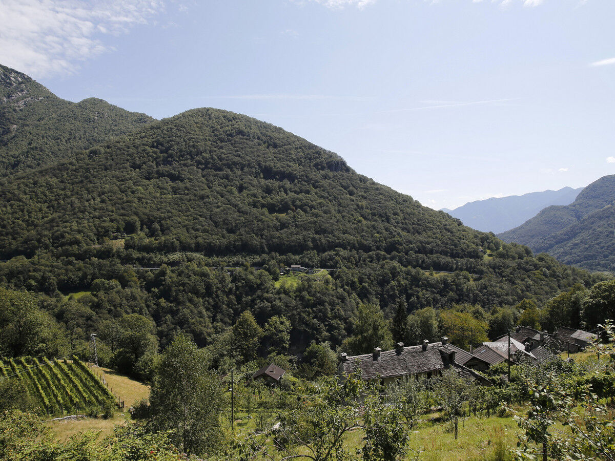
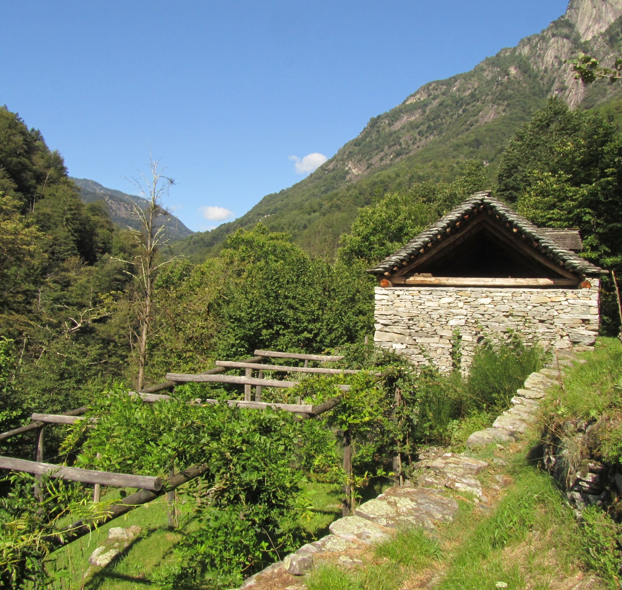
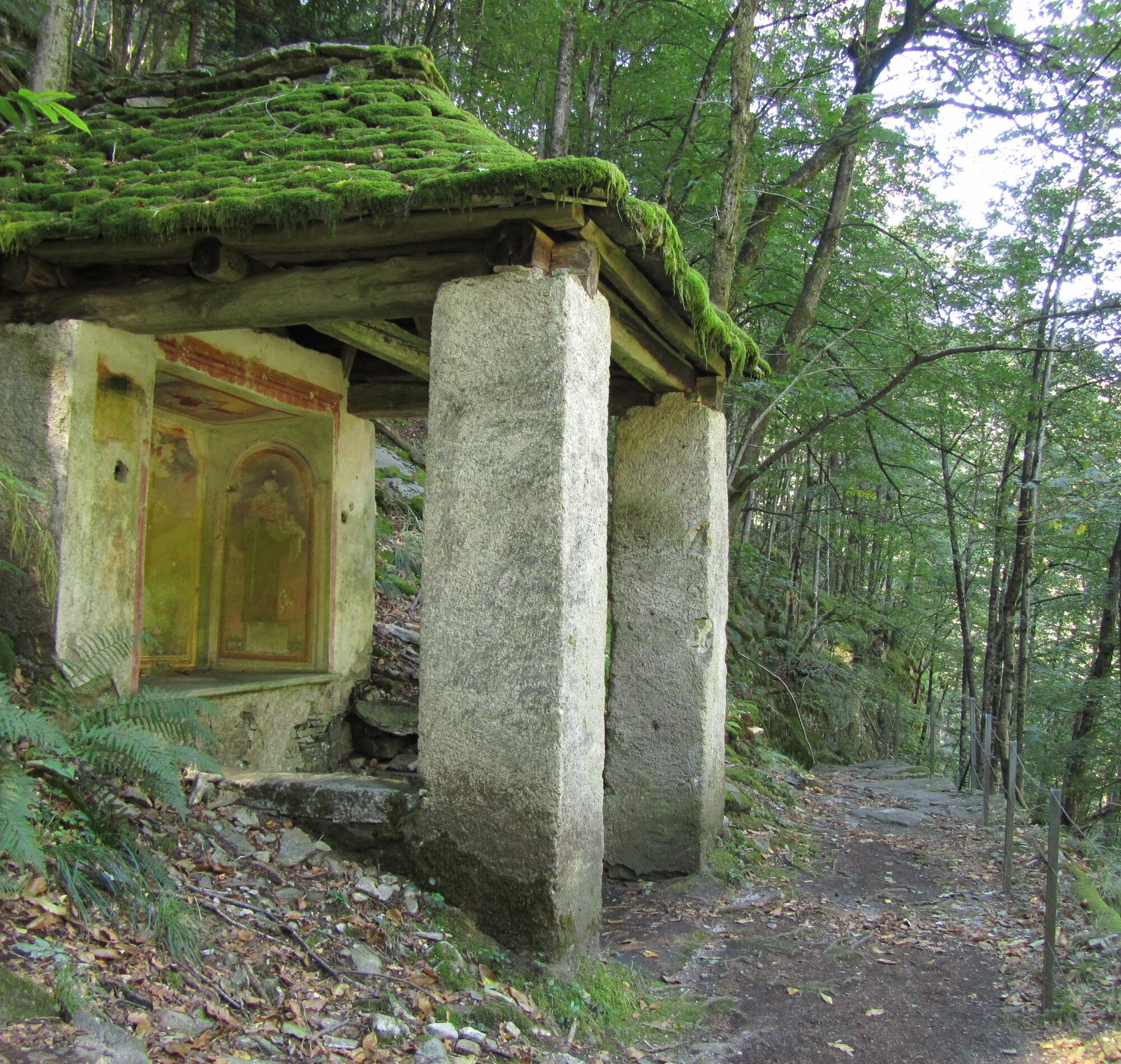
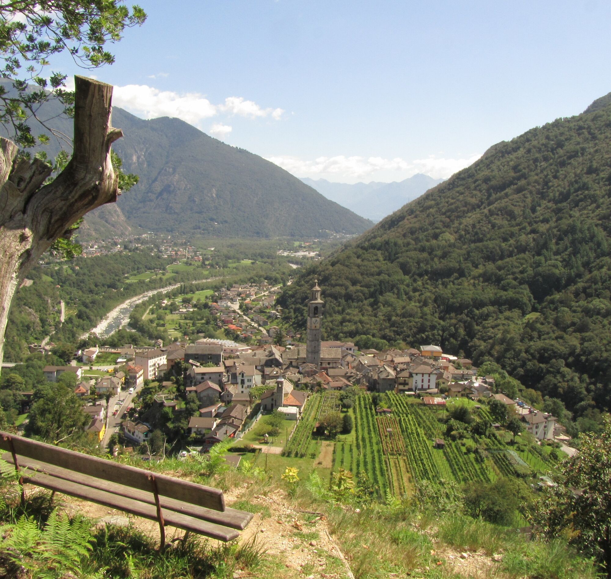
Loco-Niva-Vosa di Dentro-Vosa-Pila-Intragna
Hiking backpack (about 20 liters) with rain cover
Sturdy and comfortable shoes
Clothing suitable for weather conditions and durable, layering principle and possibly trekking poles
Sun and rain protection
Supplies and drinking water
First aid kit
Pocket knife
Mobile phone, possibly headlamp
Map material
From Locarno: take bus B 324 towards Spruga. Get off at the Loco stop.
Return from Intragna: take the Centovallina towards Locarno. Get off at the station. Or take bus B 324 towards Spruga to return to Valle Onsernone. More information: www.sbb.ch
T2


Oblíbené prohlídky v okolí
-
4.8
Avegno-Ponte Brolla-Avegno
středníTuristika 8.56 km -
4.3
Revöira Ethnographic Trail (SwitzerlandMobile 629)
středníTuristika 7.97 km -
3.8
Cannobio zu Sant’Aagata
světloTuristika 5.85 km -
4.8
Verzasca Dam-Mergoscia-Corippo-Lavertezzo
středníTuristika 13.0 km -
5.0
Valle del Salto round route (SvizzeraMobile 611)
středníTuristika 8.84 km -
Maggia-Someo-Maggia
světloTuristika 15.5 km -
Sentiero Verzasca (SvizzeraMobile 74)
střednídálková pěší trasa 34.4 km -
5.0
Verzasca Dam-Monti di Motti-Verzasca Dam
středníTuristika 9.31 km -
5.0
Lavertezzo-Brione Verzasca
světloTuristika 6.50 km -
4.5
Sculpture Trail
světloTematická stezka 2.49 km

Pěší turistika a stopování


Nenechte si ujít nabídky a inspiraci pro vaši příští dovolenou
Vaše e-mailová adresa byl přidán do poštovního seznamu.