






La Collina Alta (Locarno Monti-Contra)
Úroveň obtížnosti: T2
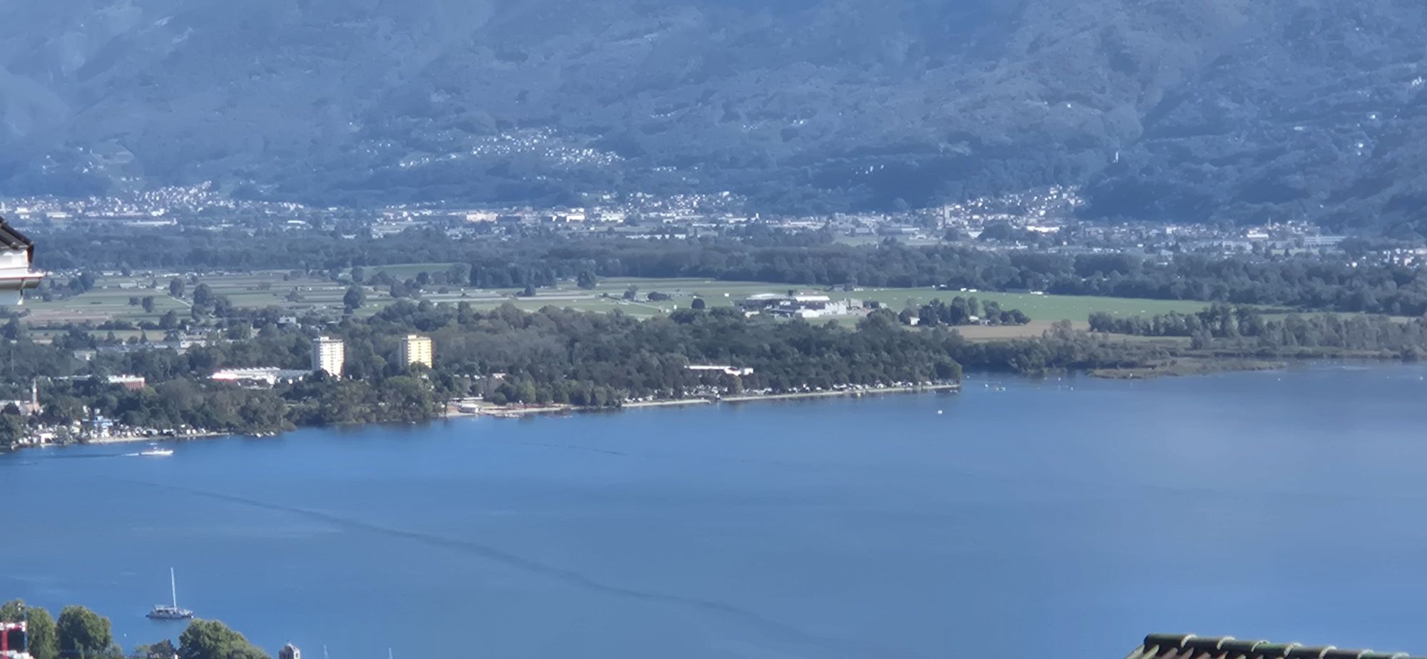
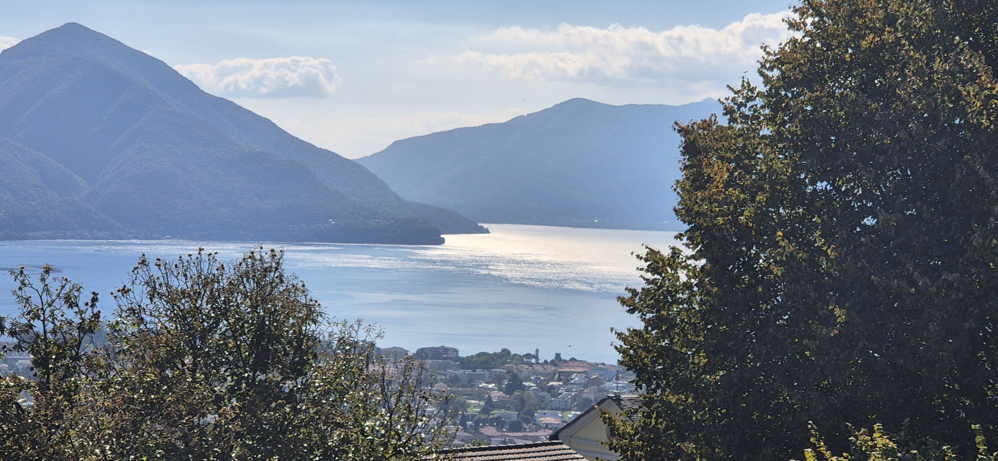
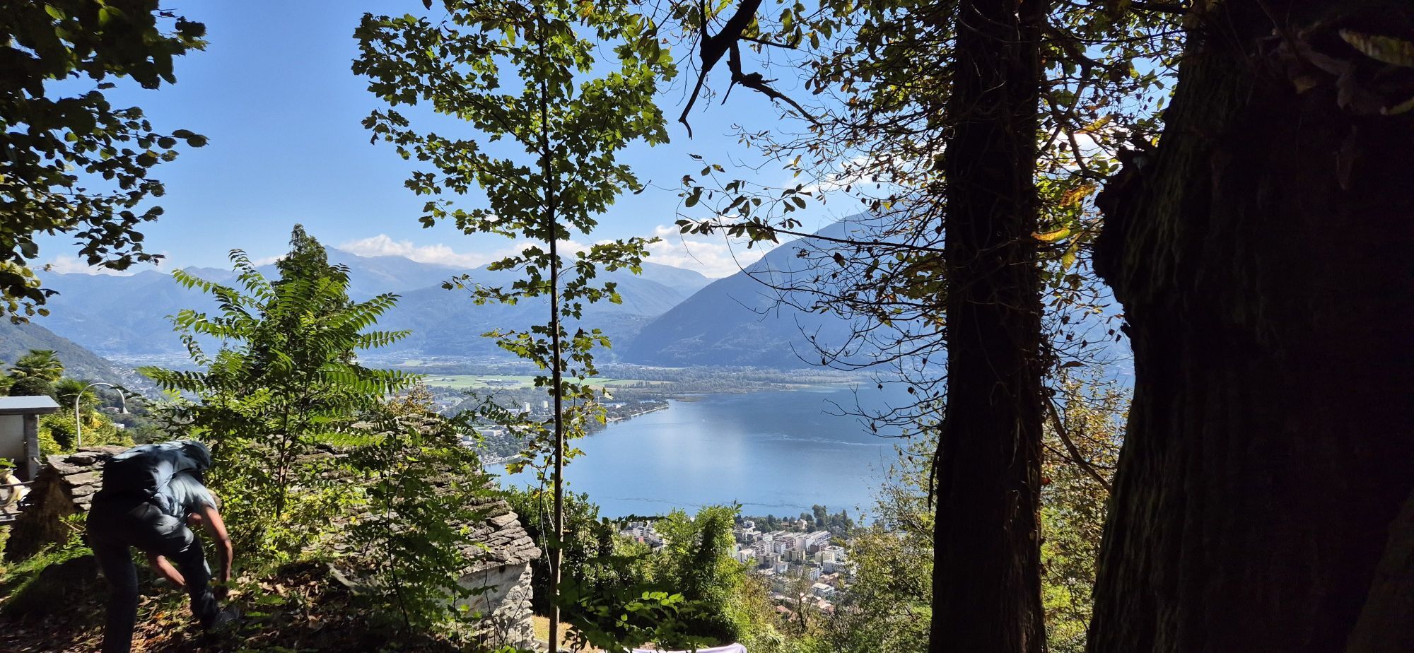
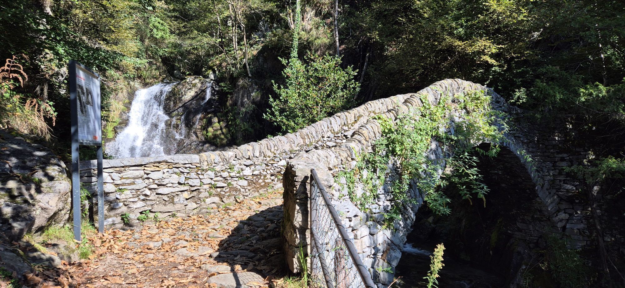
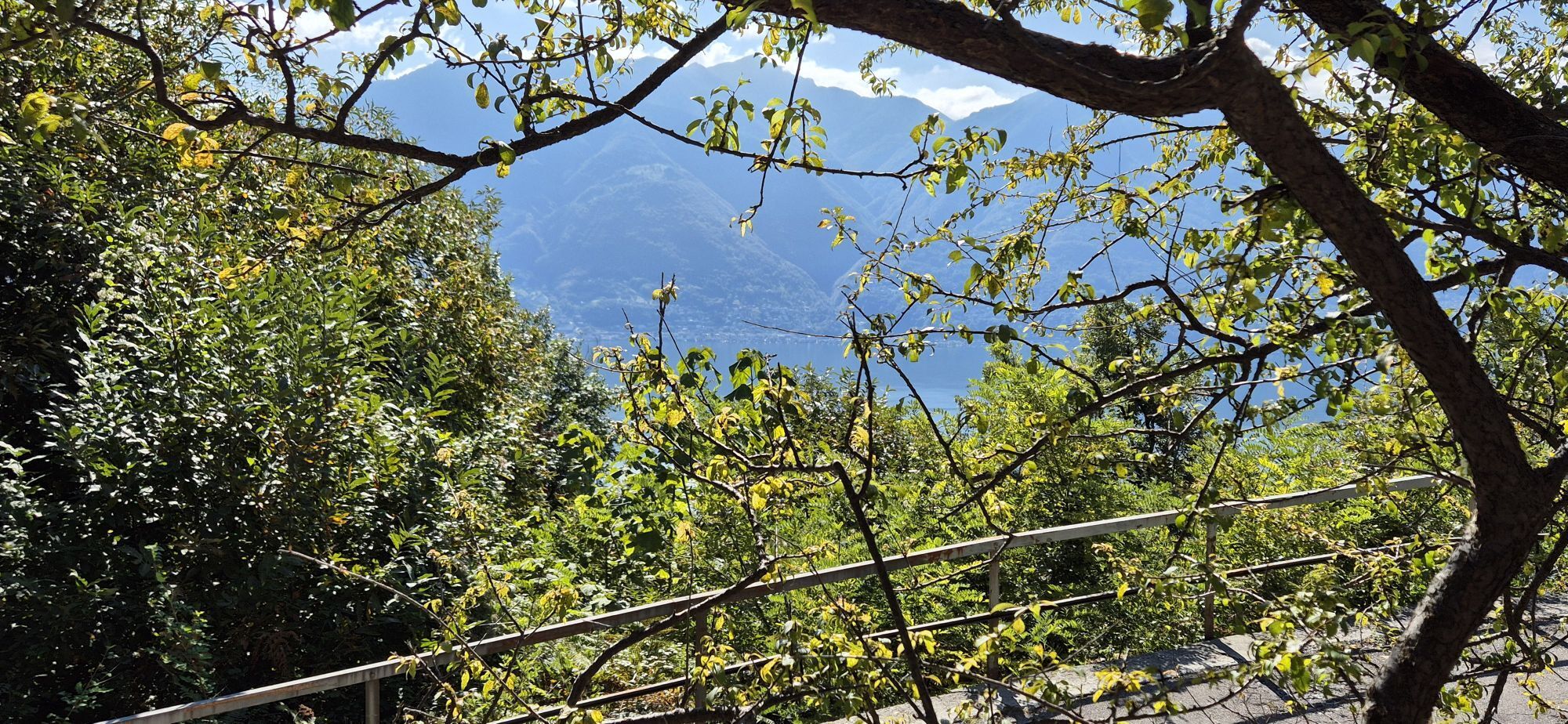
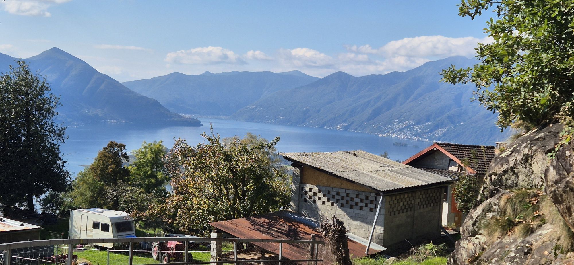
The walk begins at the Piazzetta dei Monti della Trinità, which can be reached from Locarno by bus or funicular railway. From here, visitors can enjoy sweeping views over the Maggia delta, as well as Ascona,...
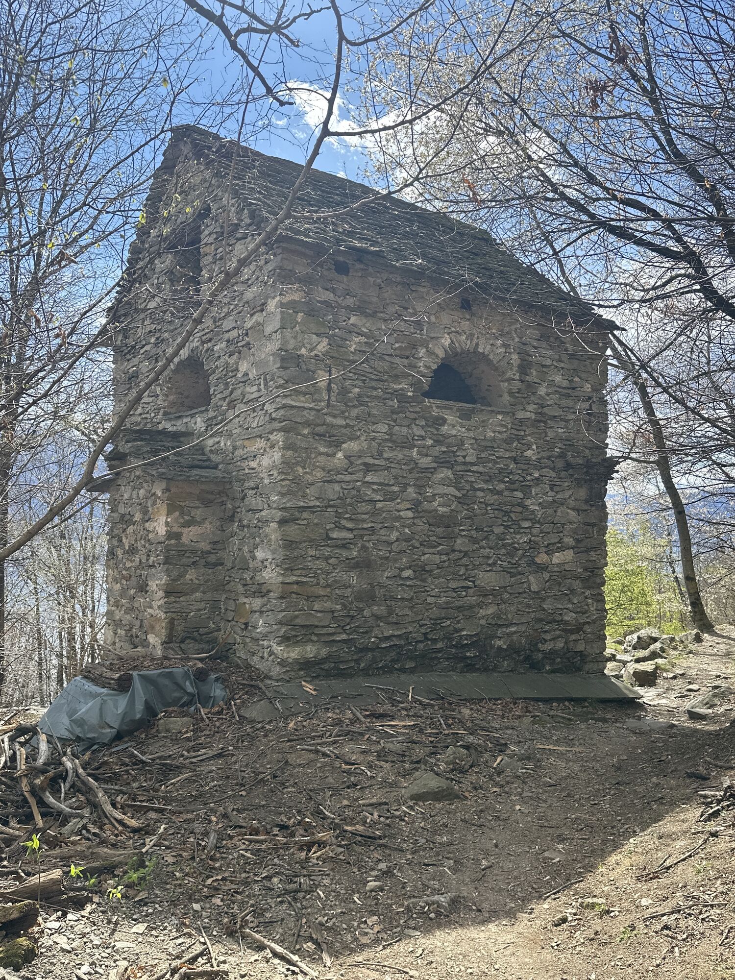
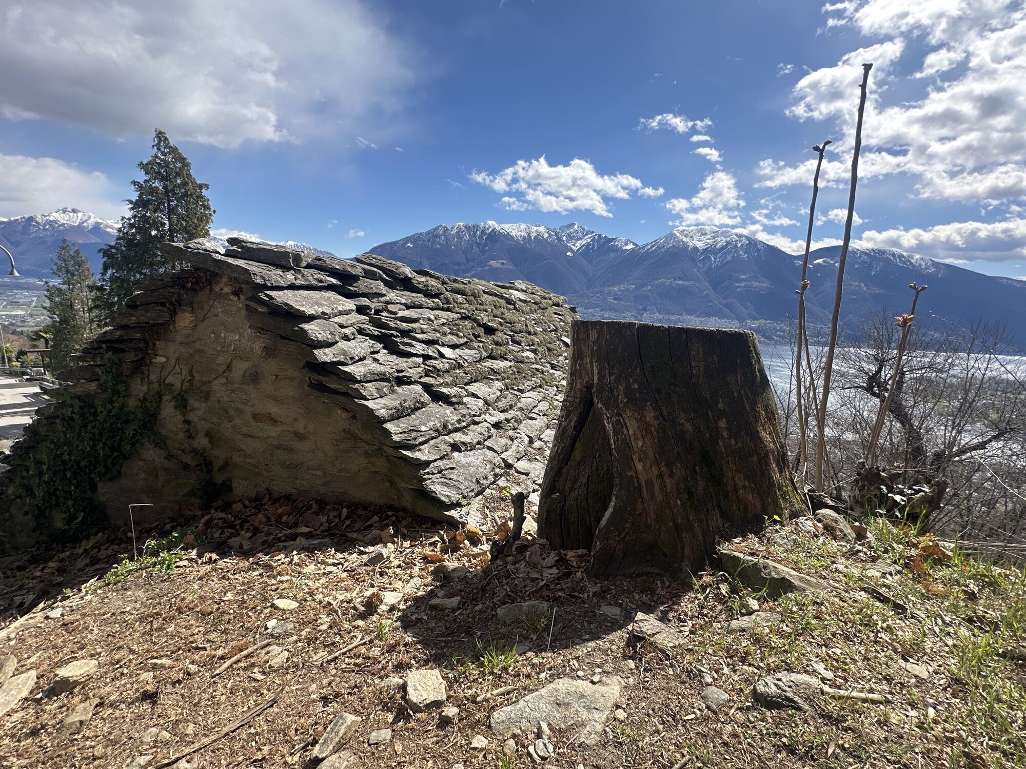
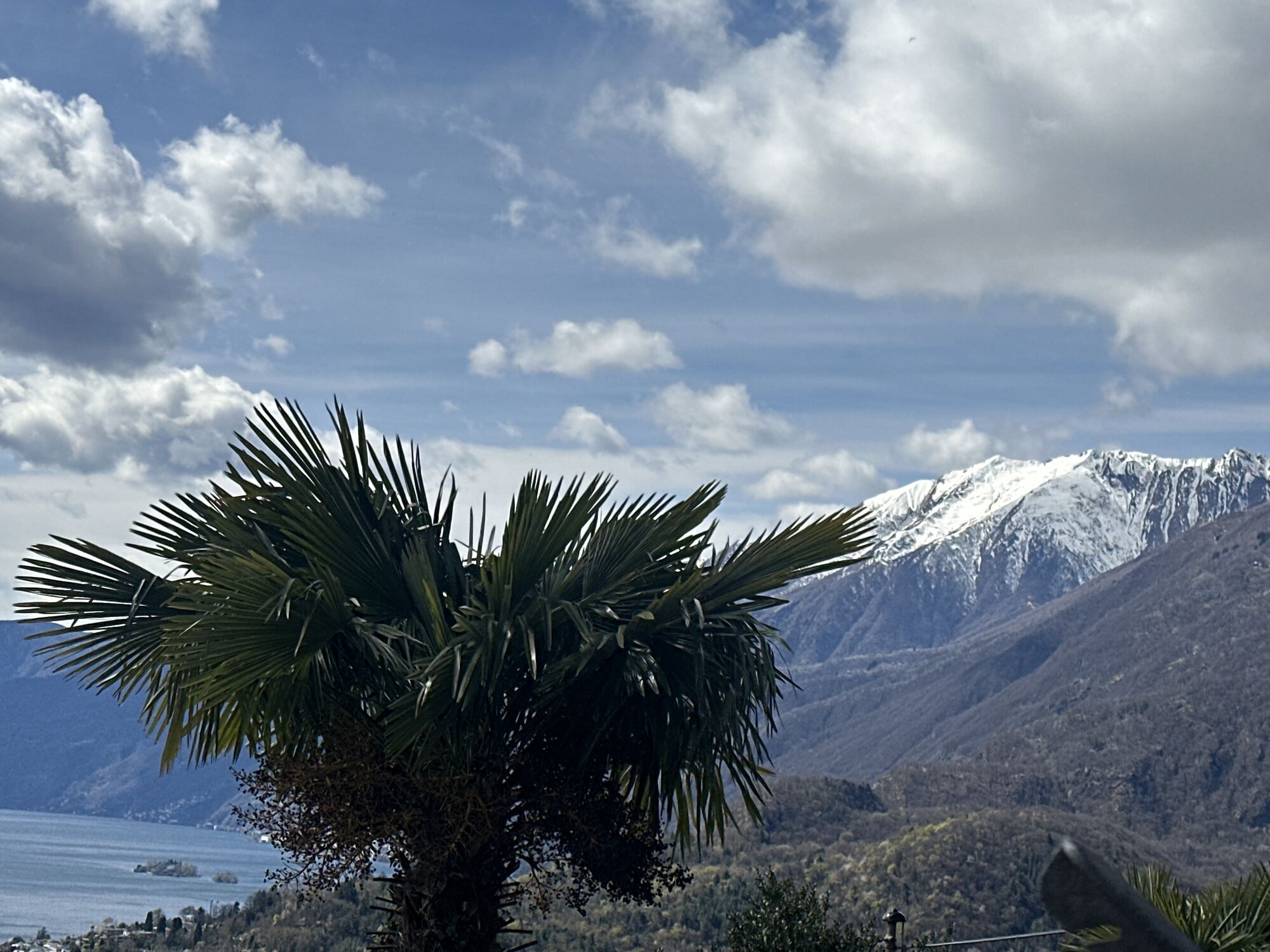
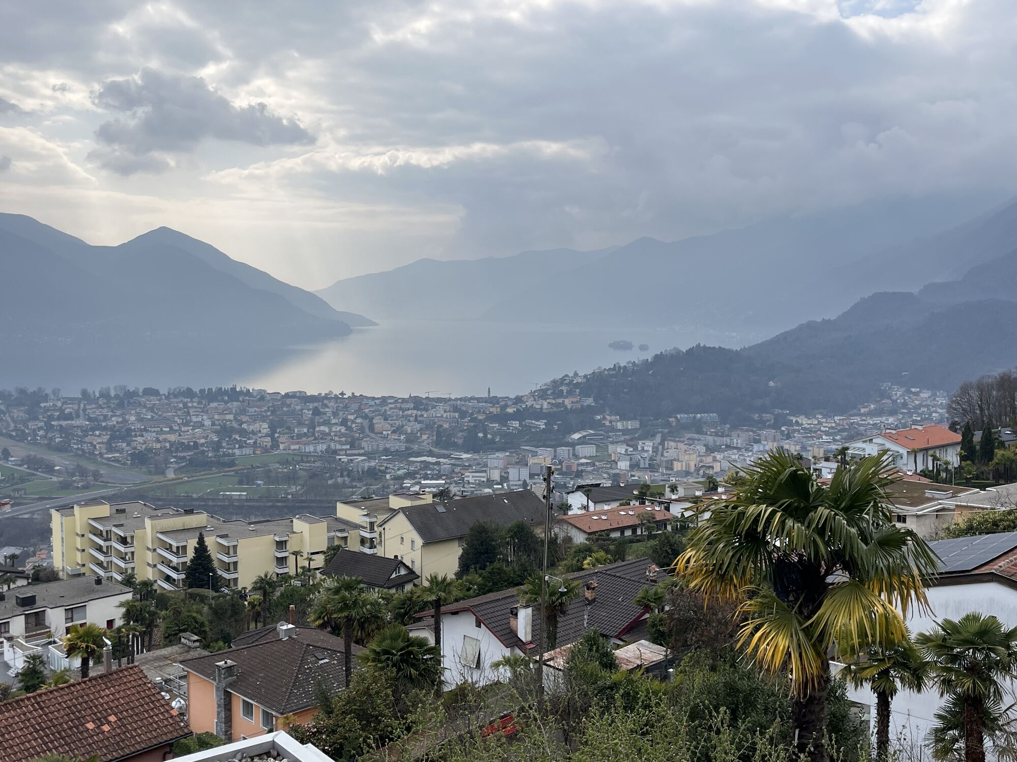
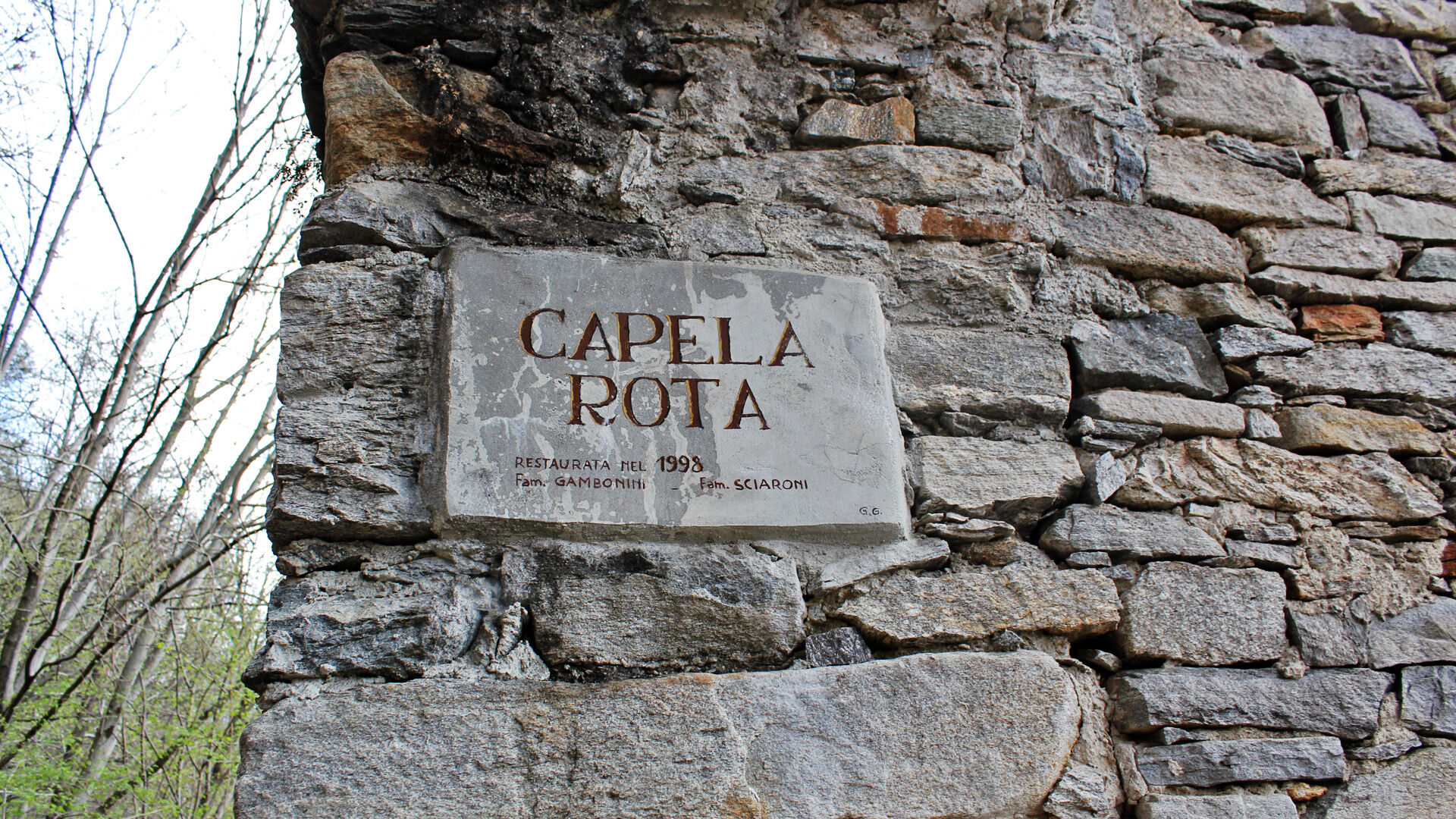
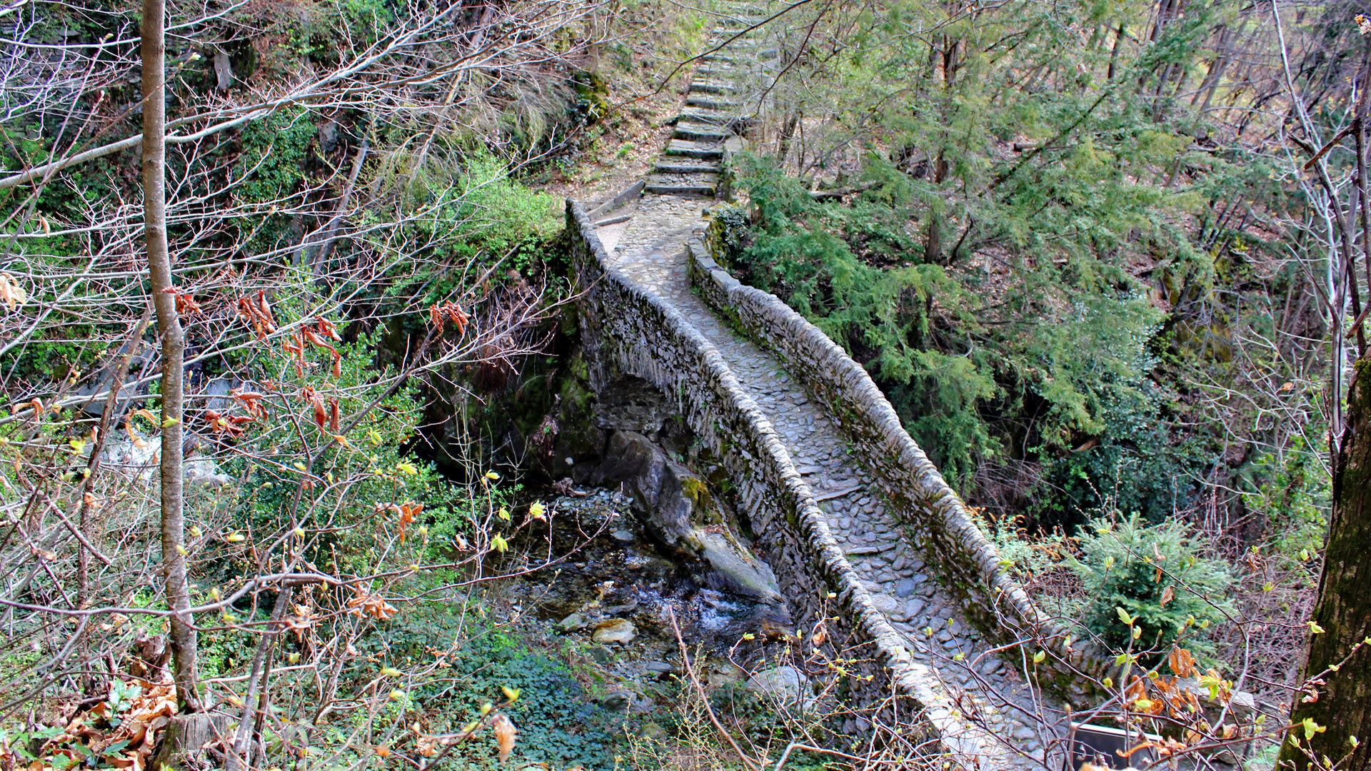
The walk begins at the Piazzetta dei Monti della Trinità, which can be reached from Locarno by bus or funicular railway. From here, visitors can enjoy sweeping views over the Maggia delta, as well as Ascona, the Brissago Islands and part of the Italian basin of the lake. The route initially follows the path towards Roncaccio, which starts beside the church, before reaching Via Patocchi. Around 50 metres further uphill, after the Ristorante Verzaschese, the trail turns into a chestnut forest and shortly afterwards arrives at the small village of Orselina. Beyond the last houses, yellow signposts mark the footpath winding up the mountainside, where the old pastureland can still be glimpsed through the trees. The route then reaches Via Selva in the Brione s. Minusio area. At the fork on Via Selva, the path continues uphill into Val Resa. Along the way, it passes the “Capèla Rota”, an unfinished chapel dating from around 1500. A little further on, the trail crosses the picturesque humpback bridge over the Navegna stream before finally reaching the drivable road leading to the path towards Contra, the destination of this delightful excursion.

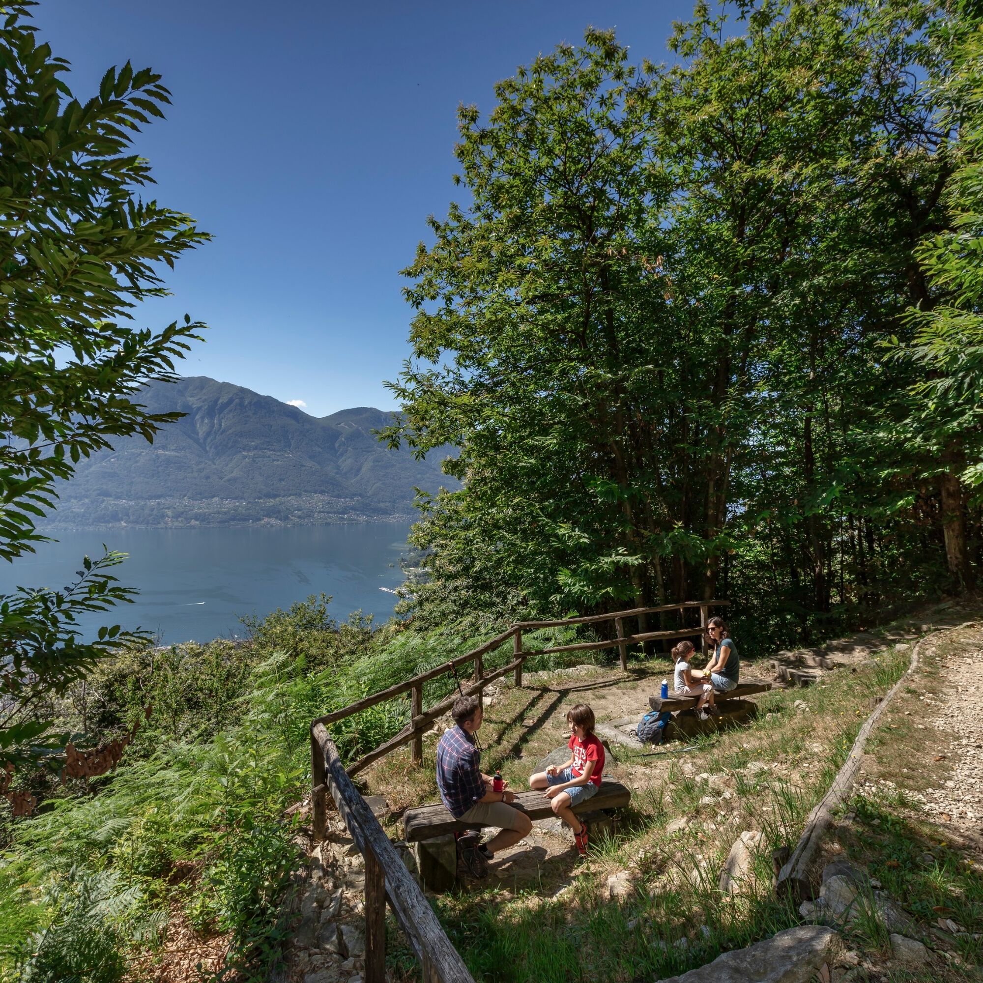
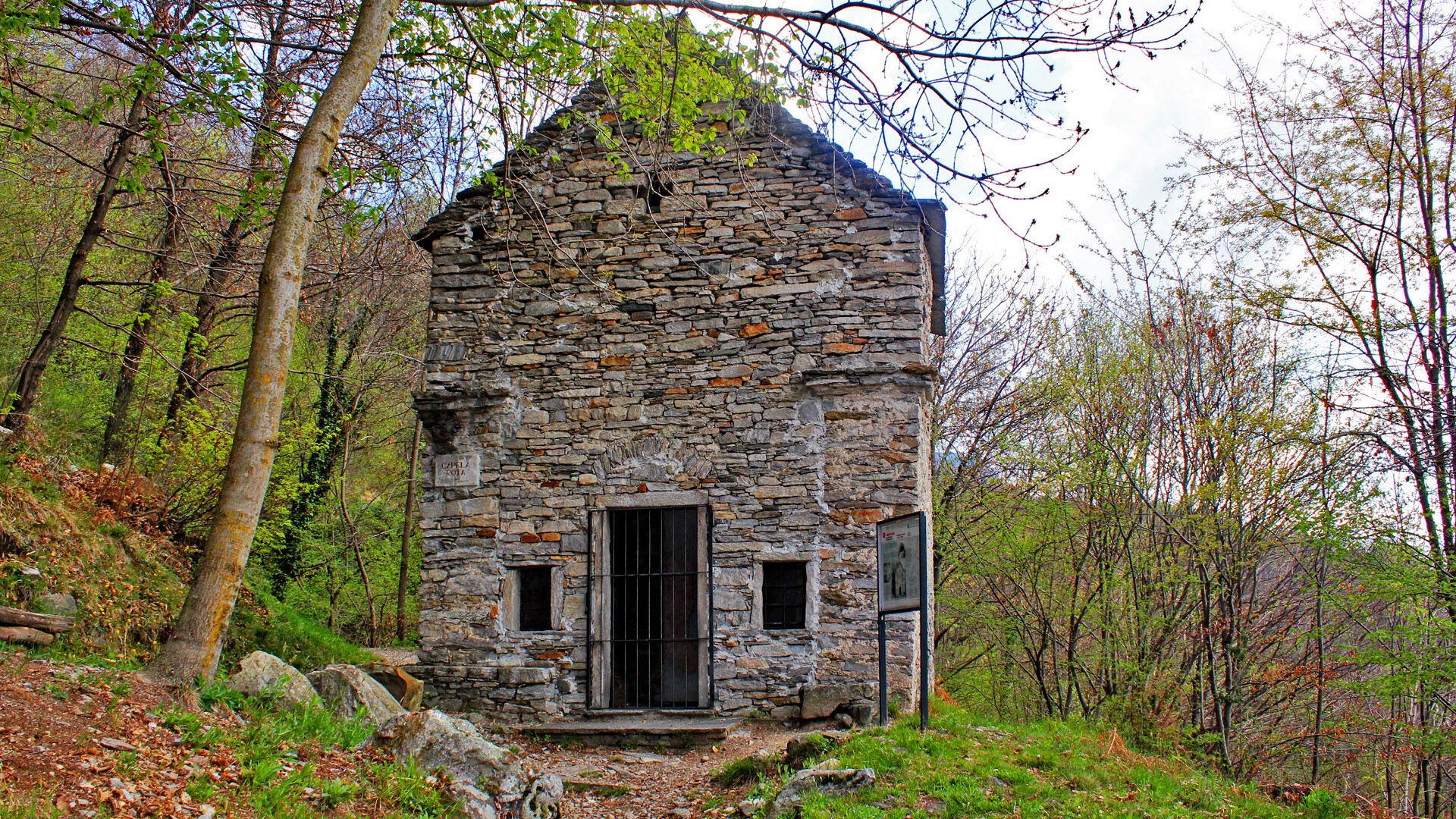

Monti della SS. Trinità–All'Eco–Ronco di Bosco–Lögh del Biàdigh–Cappella Rotta–Contra, Village
Ano
Hiking backpack (approx. 20 liters) with rain cover
Sturdy and comfortable shoes
Clothing suitable for weather conditions and durable, layering principle, and optionally trekking poles
Sun and rain protection
Supplies and drinking water
First aid kit
Pocket knife
Mobile phone, optionally headlamp
Map material
T2
Webové kamery z prohlídky
Získejte přehled
Vždy živě na místě s více než 9 500 webkamerami. bergfex Jako uživatel Pro si nyní můžete zobrazit odpovídající webové kamery pro mnoho prohlídek v aplikaci prohlídky z. Můžete si tak přímo prohlédnout aktuální podmínky.

Oblíbené prohlídky v okolí
-
4.8
Valle del Salto round route (SvizzeraMobile 611)
středníTuristika 8.84 km -
4.9
Verzasca Dam-Mergoscia-Corippo-Lavertezzo
středníTuristika 13.0 km -
4.6
Tibetan Bridge route (SwitzerlandMobile 628)
středníTuristika 9.02 km -
3.3
Entlang der Verzasca von Sonogno via Brione nach Lavertezzo
světloTuristika 14.5 km -
4.8
Avegno-Ponte Brolla-Avegno
středníTuristika 8.56 km -
5.0
Lavertezzo-Brione Verzasca
světloTuristika 6.50 km -
4.5
Revöira Ethnographic Trail (SwitzerlandMobile 629)
středníTuristika 7.97 km -
4.0
Cardada Bike (SwitzerlandMobility 397)
heavyMountainbike 30.6 km -
5.0
Verzasca Dam-Monti di Motti-Verzasca Dam
středníTuristika 9.31 km -
Cardada-Cimetta-Alpe Vegnasca-Cardada
středníTuristika 6.86 km
Pěší turistika a stopování


Nenechte si ujít nabídky a inspiraci pro vaši příští dovolenou
Vaše e-mailová adresa byl přidán do poštovního seznamu.





