


Monti Motti Bike (SvizzeraMobile 396)
Úroveň obtížnosti: S3
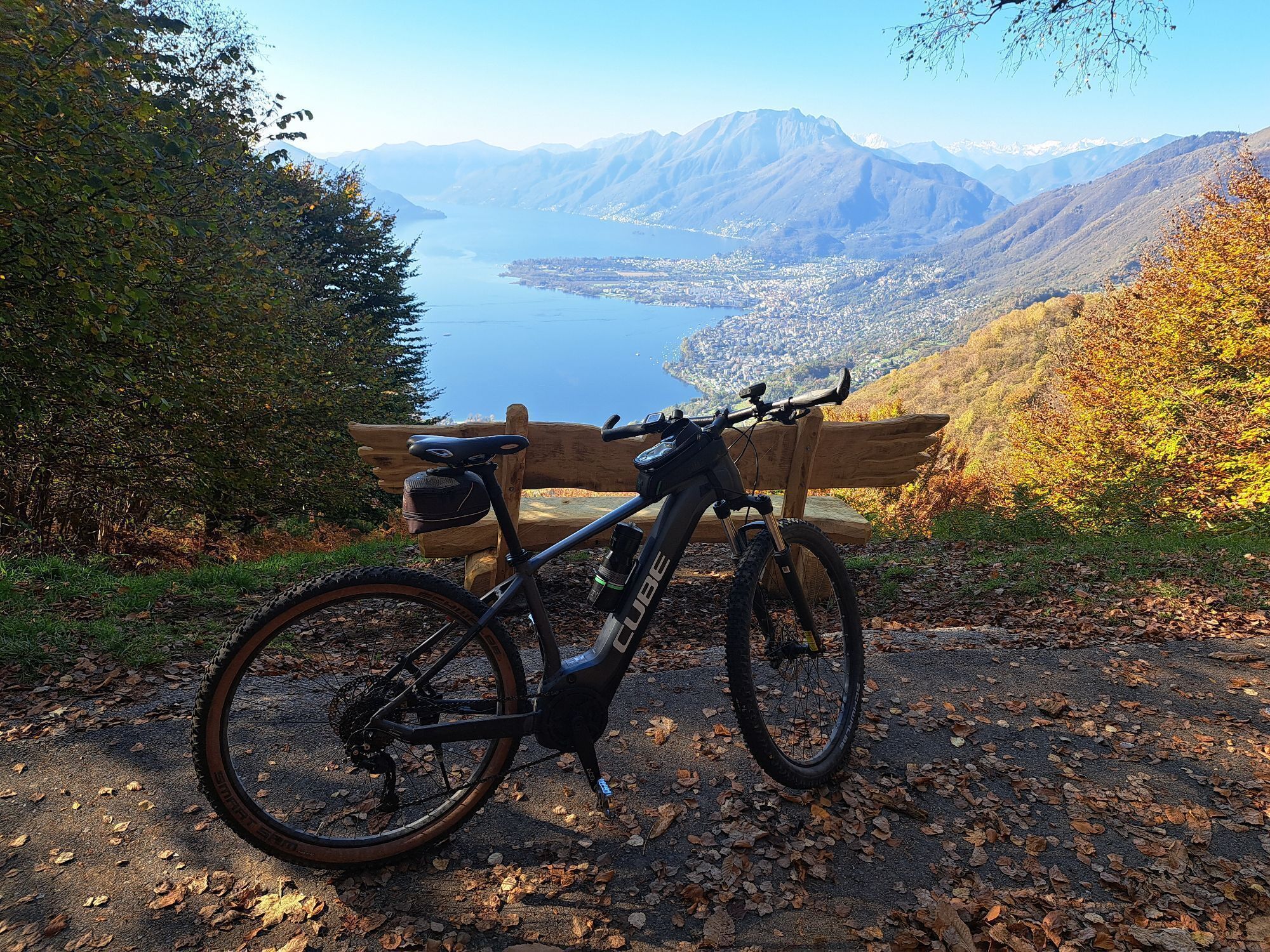
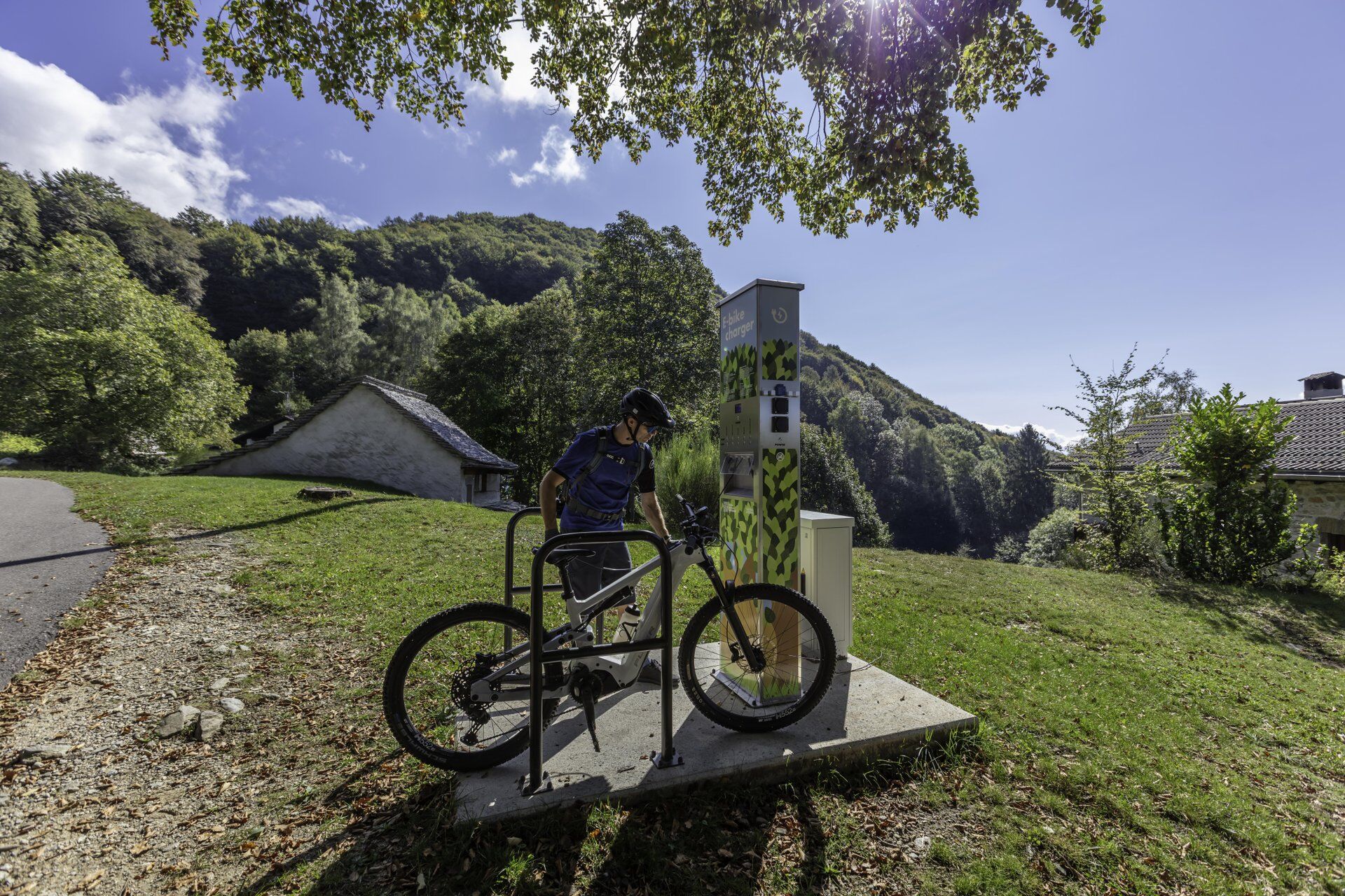
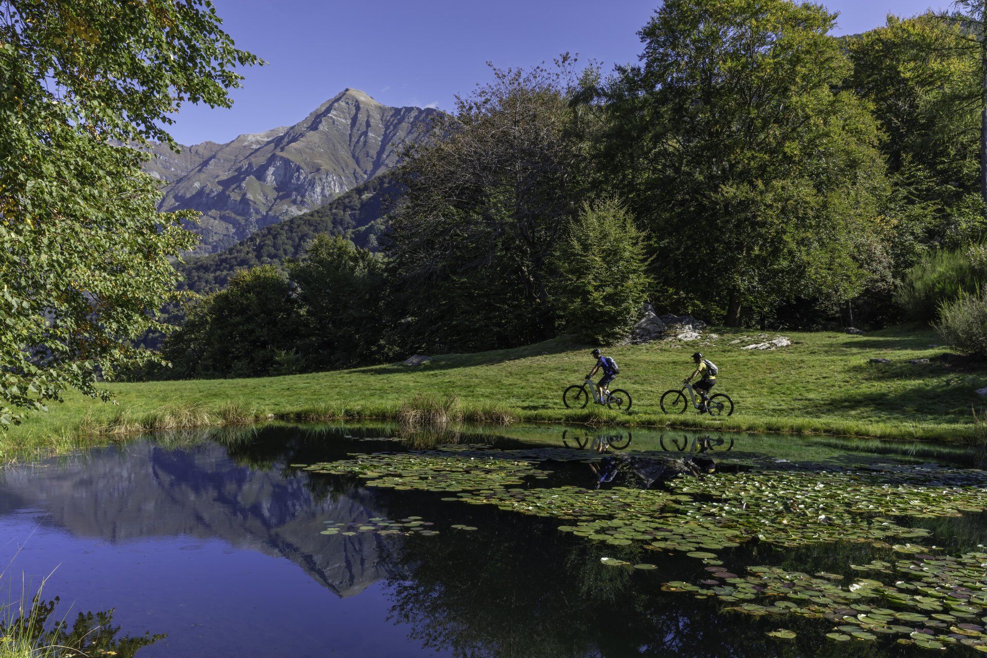
First of all, you need endurance: Before the single-trail descent begins, you have to tackle around 14 kilometres and 800 metres of elevation on surfaced road. You mainly cycle through forest, meaning...
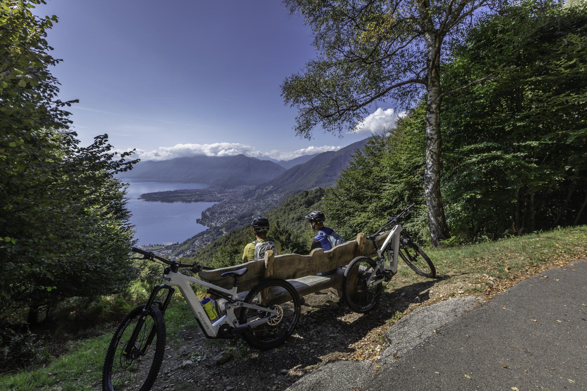
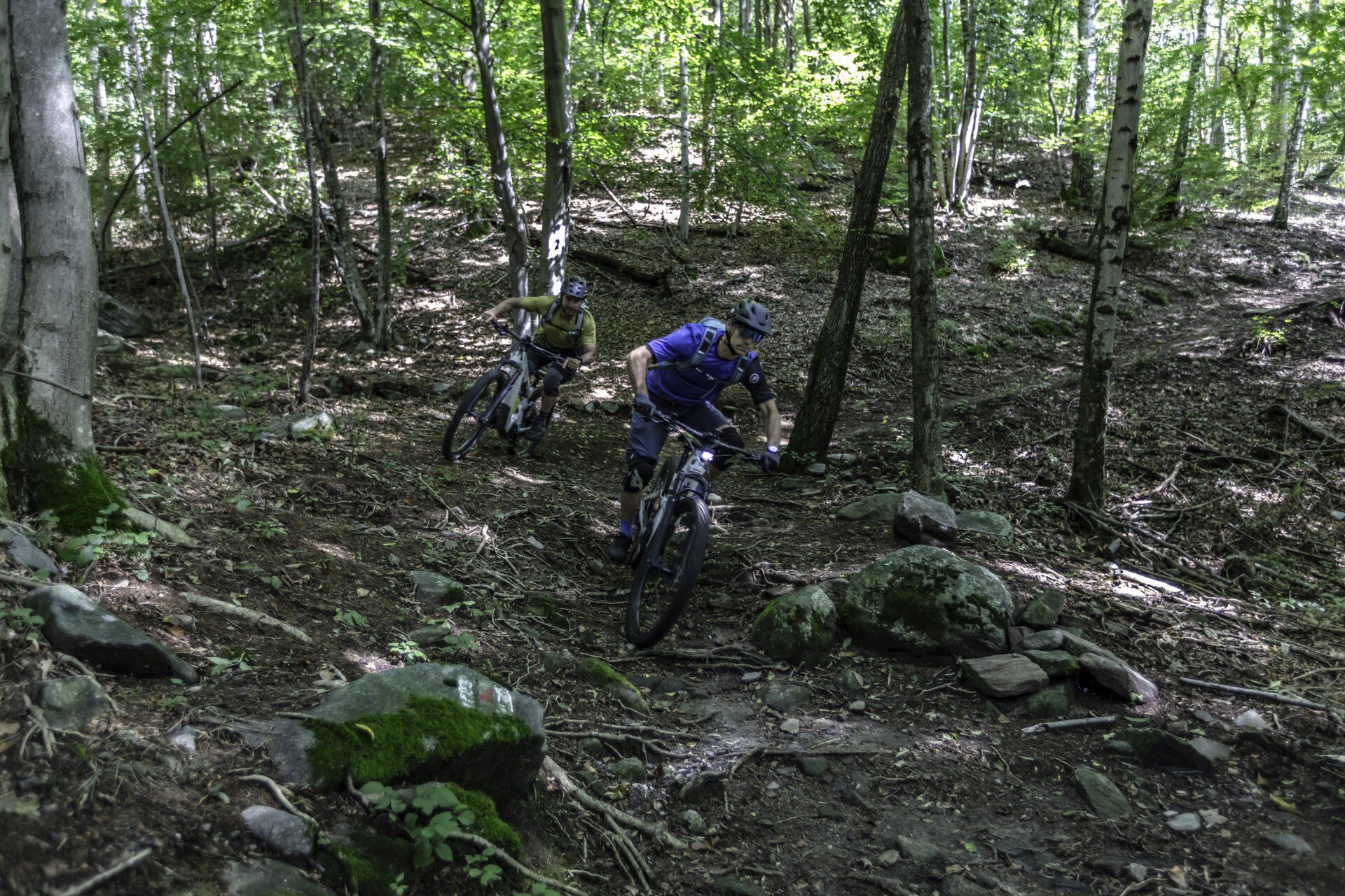
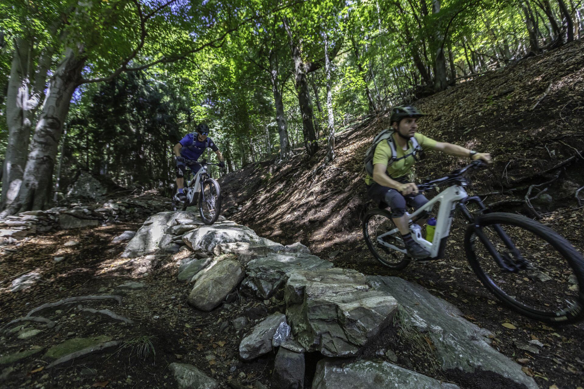
The descent on the technical single trail now begins: The first flowing sections are perfect for finding your rhythm and warming up. More challenging passages then follow, requiring precision and control – biking experience is a must here. This stretch has natural drops, stone steps, rock gardens and sculpted curves. It offers a number of possible lines and exciting challenges.
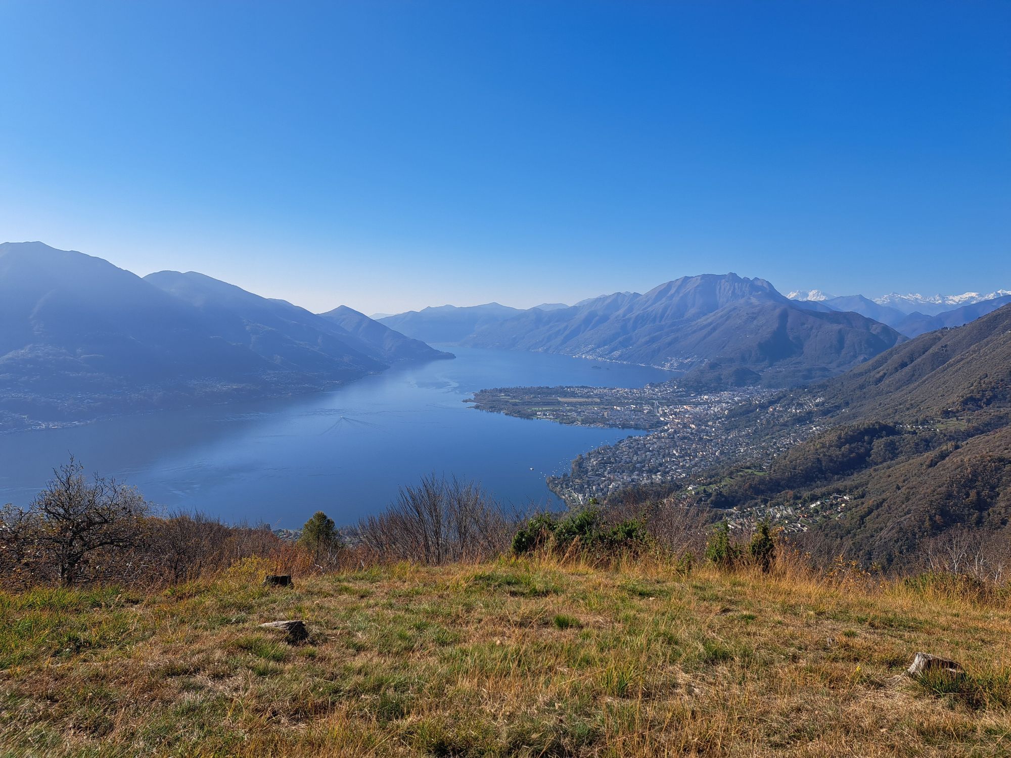
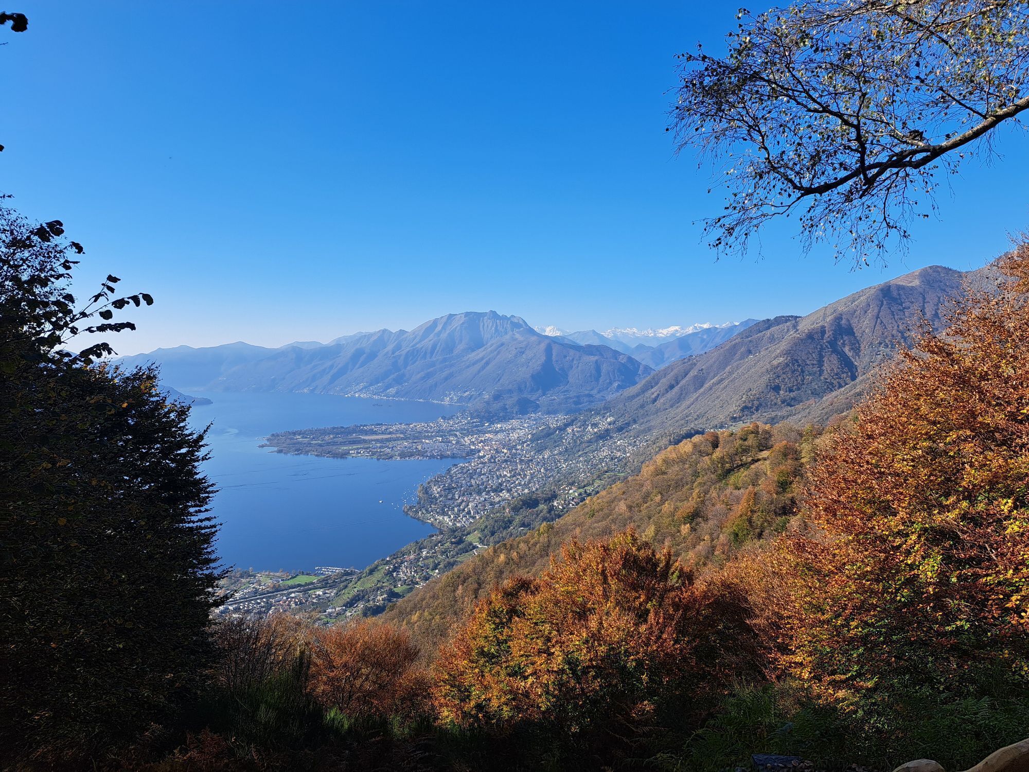
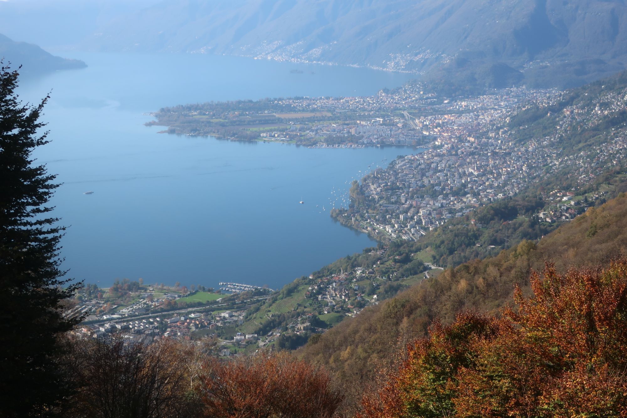
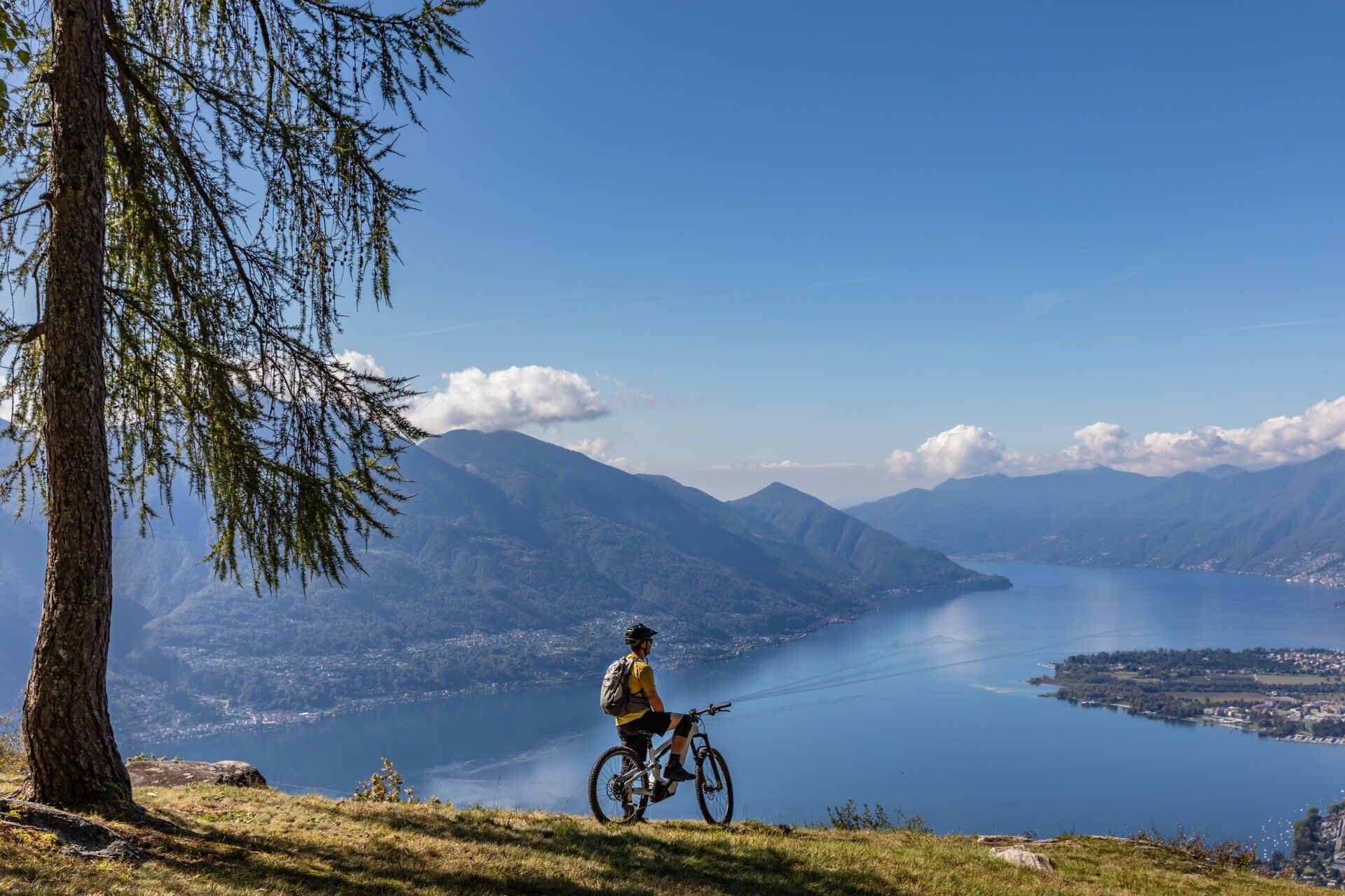
Just before the halfway mark, you can explore the picturesque mountain hamlet of Bazzadee. The partially abandoned centre consists of traditional stone houses and acts as a natural balcony over Lake Maggiore – the perfect spot for a break and photos!
Although the trail is shared with hikers, they don’t use it very often. Designed in an environmentally conscious and sustainable way, it maintains the authentic character of the old hiking trail but combines this with the modern MTB spirit: adrenaline, flow and riding fun at every curve.

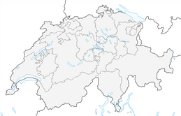
Gordola-Agarone-Ditto-Monti Motti-Bazzadee-Sotto Sassalto-Gordola
Careful route planning is the key to enjoying a ride. Check the weather and trail conditions in advance at local information centers. Depending on the season and weather conditions, the route may be closed or interrupted.
S3
Webové kamery z prohlídky
Oblíbené prohlídky v okolí
-
4.8
Avegno-Ponte Brolla-Avegno
středníTuristika 8.56 km -
4.7
Tibetan Bridge route (SwitzerlandMobile 628)
středníTuristika 9.02 km -
4.3
Revöira Ethnographic Trail (SwitzerlandMobile 629)
středníTuristika 7.97 km -
3.3
Entlang der Verzasca von Sonogno via Brione nach Lavertezzo
světloTuristika 14.5 km -
4.8
Verzasca Dam-Mergoscia-Corippo-Lavertezzo
středníTuristika 13.0 km -
Sentiero Verzasca (SvizzeraMobile 74)
střednídálková pěší trasa 34.4 km -
5.0
Verzasca Dam-Monti di Motti-Verzasca Dam
středníTuristika 9.31 km -
5.0
Lavertezzo-Brione Verzasca
světloTuristika 6.50 km -
4.8
Von Isone über den Camoghè 2.227m nach Colla
heavyTuristika 20.2 km -
4.0
Vogorno-Alpe Bardughè-Vogorno
středníTuristika 12.2 km
Pěší turistika a stopování


Nenechte si ujít nabídky a inspiraci pro vaši příští dovolenou
Vaše e-mailová adresa byl přidán do poštovního seznamu.