







Ponte Brolla climbing area

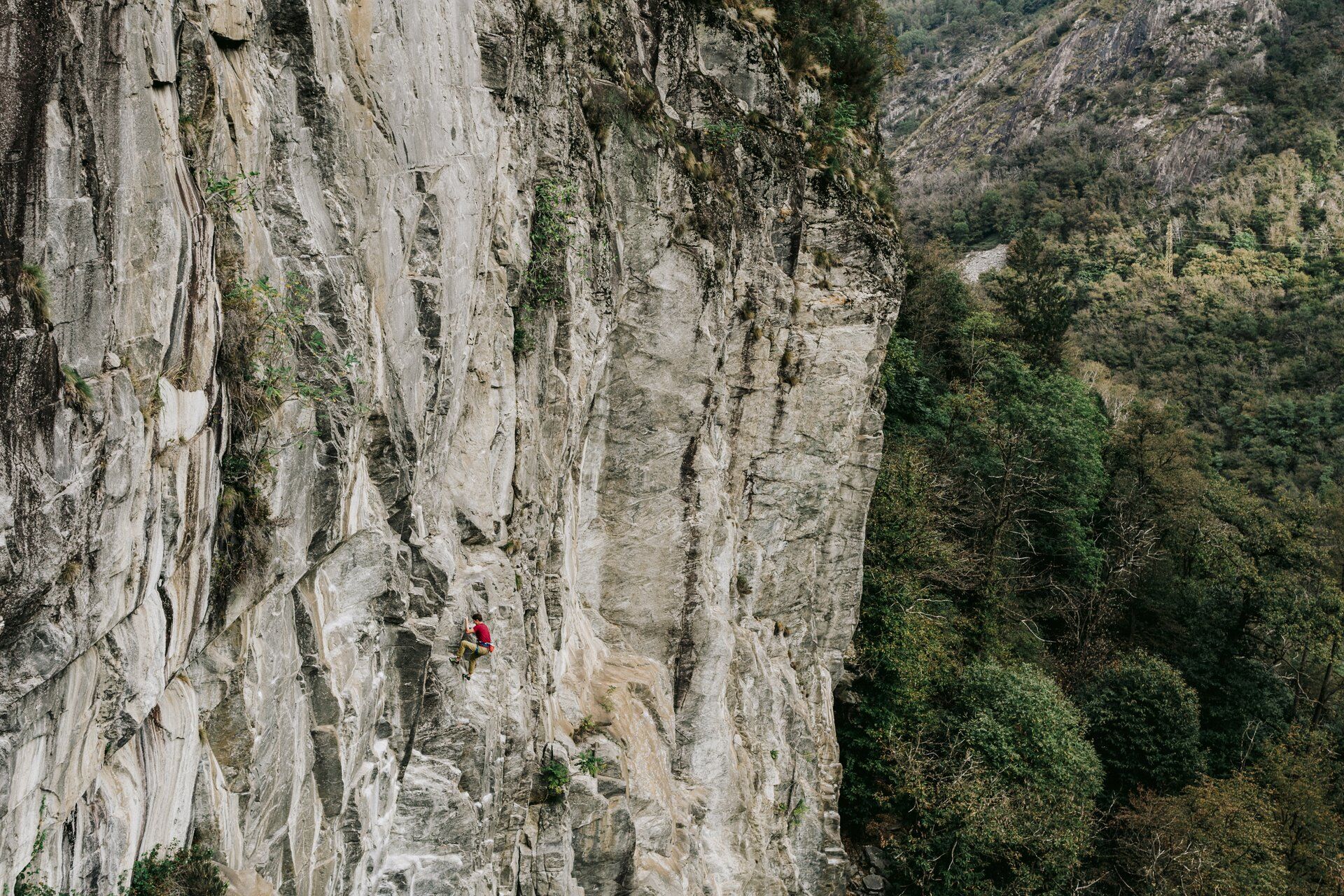
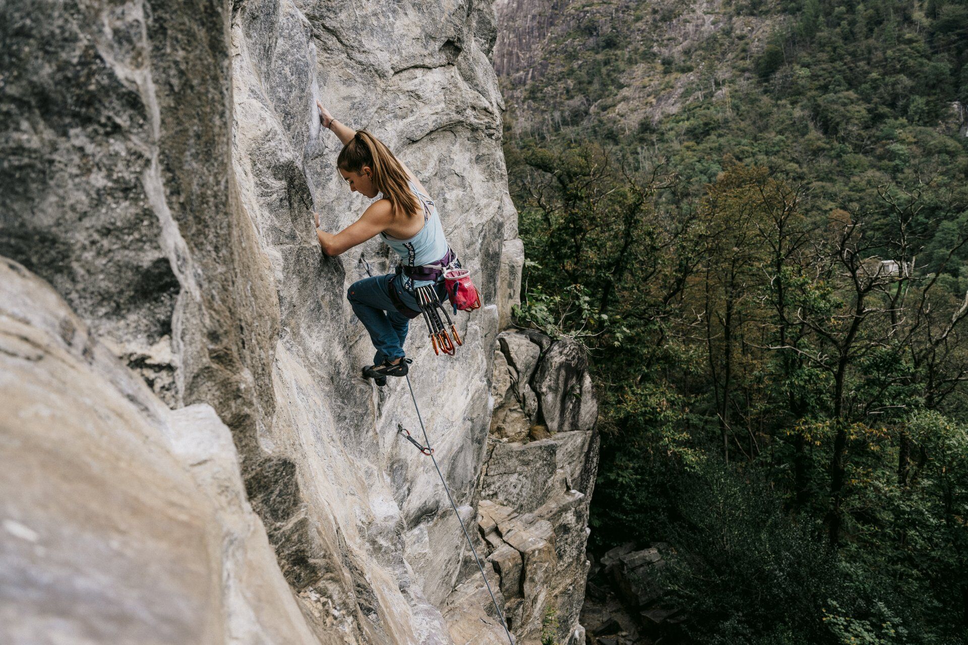
The Rovine del Castelliere sector has a number of cliffs with routes ranging between 3a and 7a+. This sector is great for beginners and families.
Climbers looking for something a bit more challenging, on...
Climbers looking for something a bit more challenging, on the other hand, can visit the Est sector, where they’ll find routes ranging from 5a to 8c.
This is the ideal sector for climbing in spring, autumn and winter.
Difficulty: Rovine del Castelliere sector: 3a and 7a+ / Est sector: 5a to 8c Rock type: gneiss Orientation: Rovine del Castelliere sector: south / Est sector: east

Ano
Name of the zone: Ponte Brolla East
Protection status: Compulsory
Further information: The construction of new climbing routes above 30 metres above the ground is prohibited
Duration of protection: annually
Basis for decision: Ordinance on wildlife quiet zones (2021)
Webové kamery z prohlídky

Oblíbené prohlídky v okolí
-
4.7
Verzasca Dam-Mergoscia-Corippo-Lavertezzo
středníTuristika 13.0 km -
4.8
Valle del Salto round route (SvizzeraMobile 611)
středníTuristika 8.84 km -
5.0
Lavertezzo-Brione Verzasca
světloTuristika 6.50 km -
4.8
Avegno-Ponte Brolla-Avegno
středníTuristika 8.56 km -
3.8
Entlang der Verzasca von Sonogno via Brione nach Lavertezzo
světloTuristika 14.5 km -
4.0
Cannobio zu Sant’Aagata
světloTuristika 5.85 km -
4.5
Revöira Ethnographic Trail (SwitzerlandMobility 629)
středníTuristika 7.97 km -
4.0
Maggia-Someo-Maggia
světloTuristika 15.5 km -
3.0
Cardada-Cimetta-Alpe Vegnasca-Cardada
středníTuristika 6.86 km -
4.0
Cardada Bike (SwitzerlandMobility 397)
heavyMountainbike 30.6 km
Pěší turistika a stopování


Nenechte si ujít nabídky a inspiraci pro vaši příští dovolenou
Vaše e-mailová adresa byl přidán do poštovního seznamu.





