







Via Francisca del Lucomagno
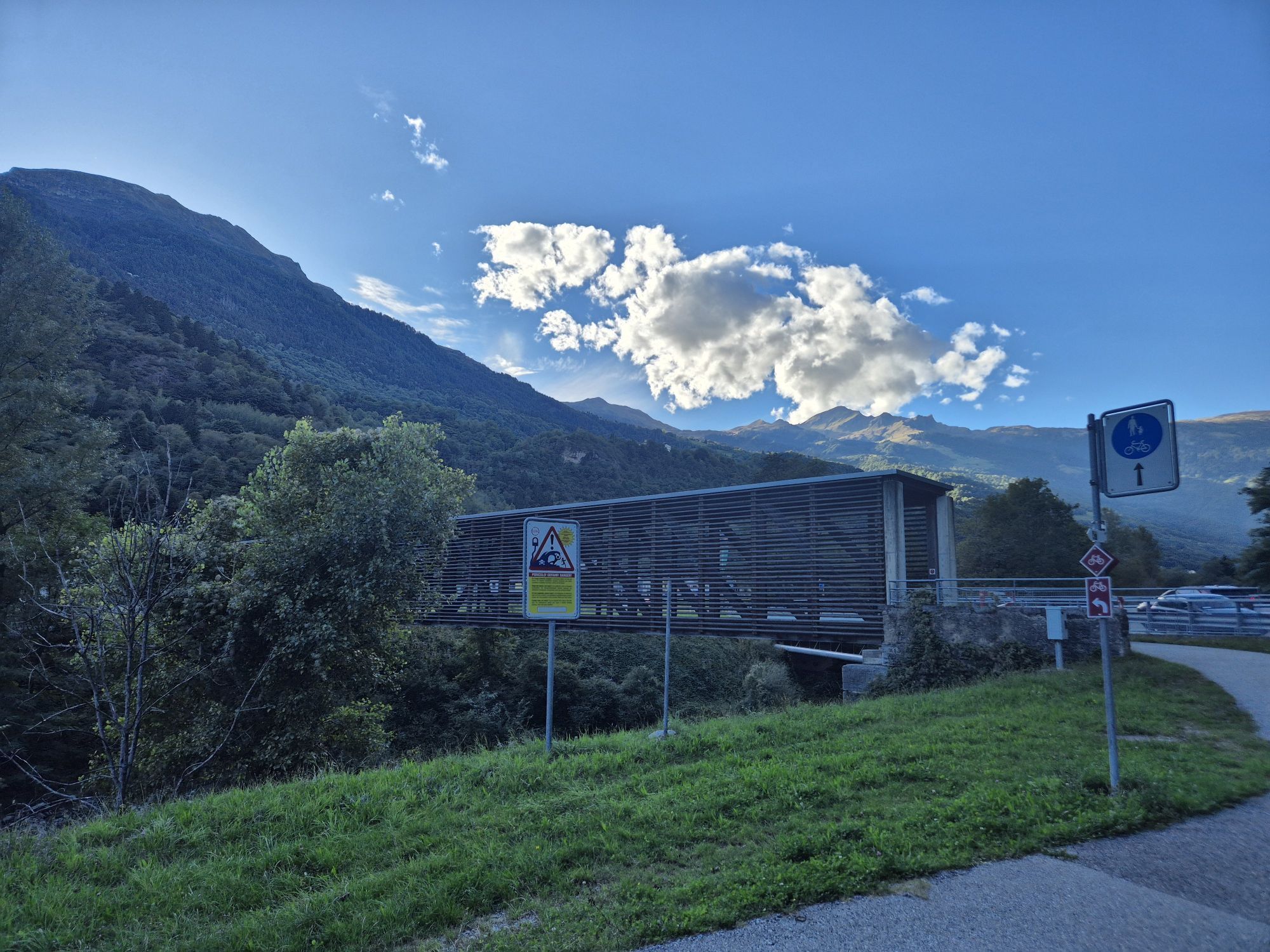
Stage 1: towards the Lukmanier Pass
After Constance, the Via Francisca del Lucomagno enters Switzerland at Kreuzlingen, then follows the lakeshore to Romanshorn and Arbon. From there, it continues towards...
Stage 1: towards the Lukmanier Pass
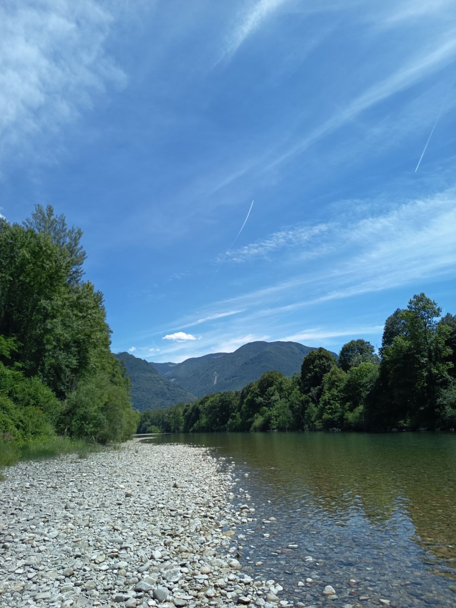
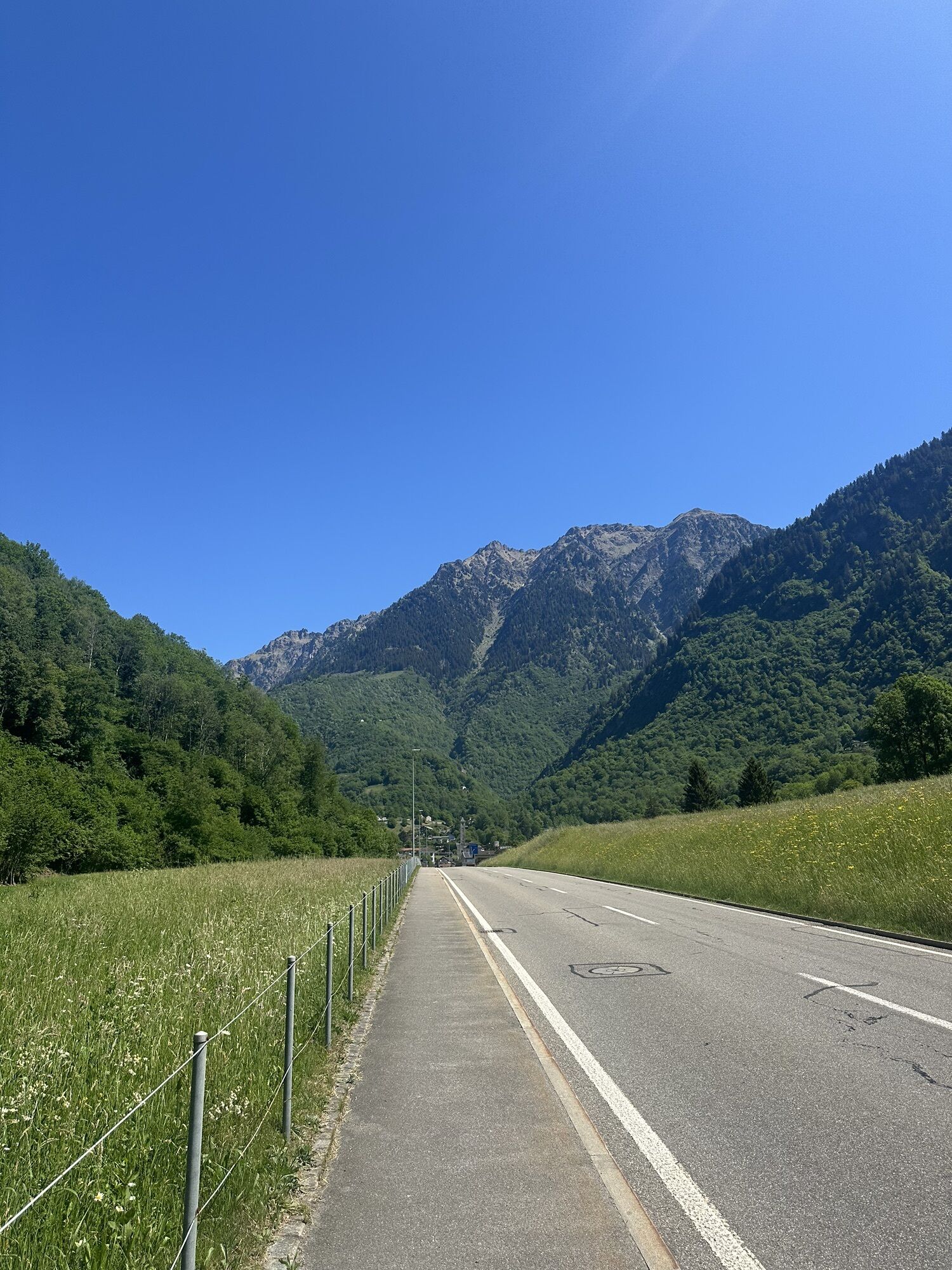
After Constance, the Via Francisca del Lucomagno enters Switzerland at Kreuzlingen, then follows the lakeshore to Romanshorn and Arbon. From there, it continues towards St. Gallen and then on to the Principality of Liechtenstein. The next stages lead to the border with the Canton of Graubünden (at Maienfeld) and then to Chur. Along the anterior Rhine, you arrive at Bonaduz, the gateway to Switzerland's Grand Canyon, which with its spectacular gorges marks the route towards Ilanz.
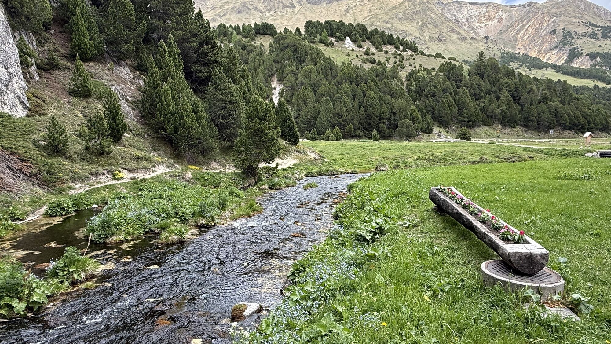
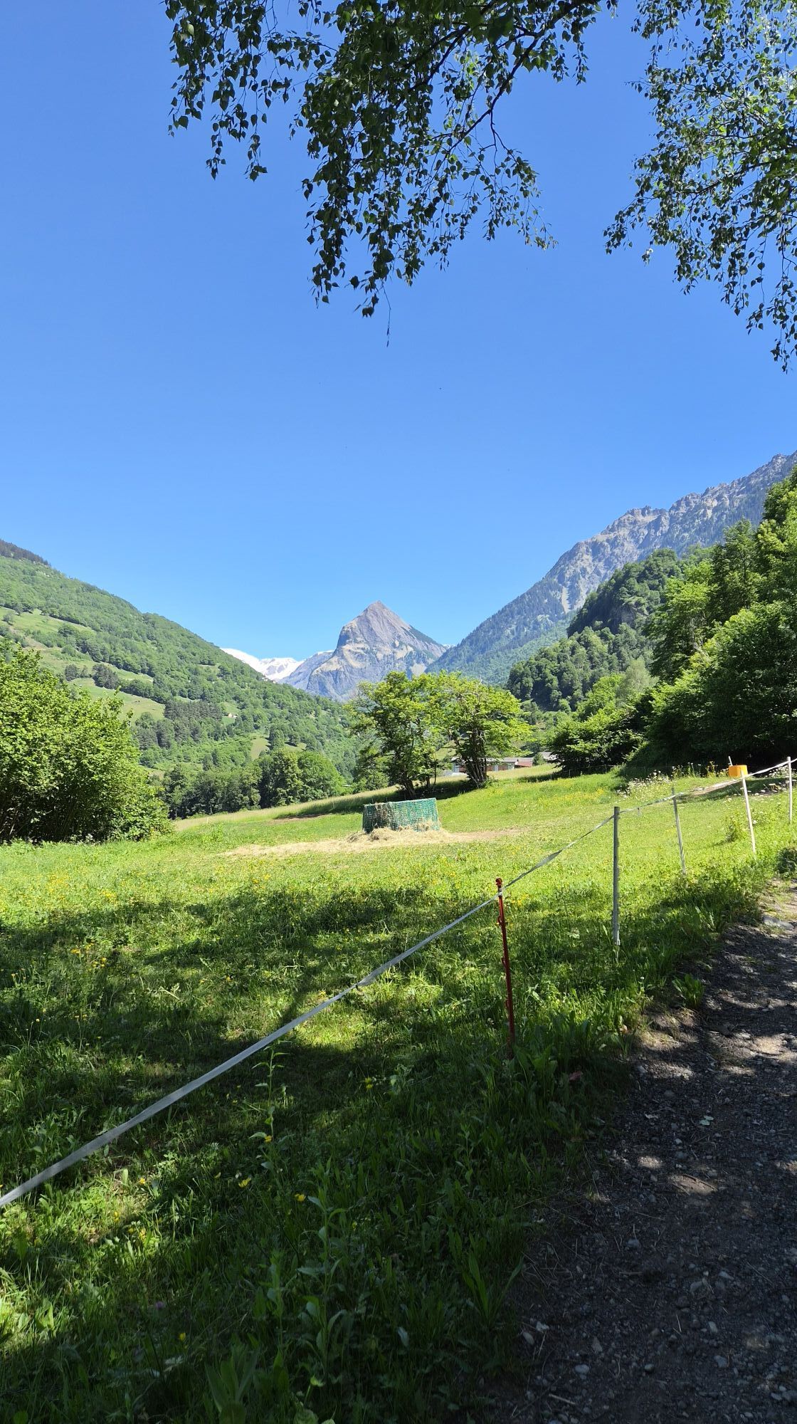
Here begins the ascent to the Lukmanier Pass with the Abbey of Disentis as the first goal after passing through the villages of Brigels, Trun, Rabius, and Sumvitg.
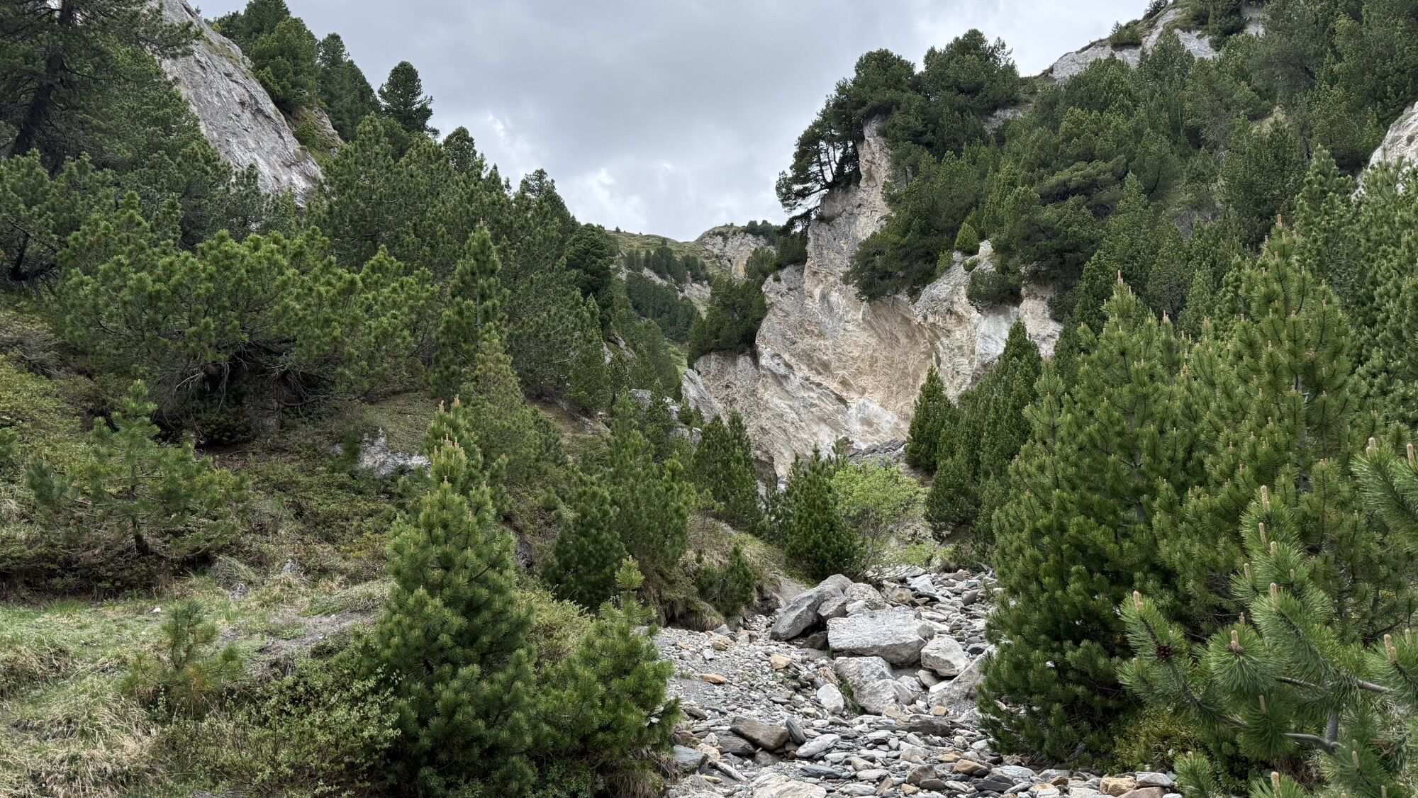
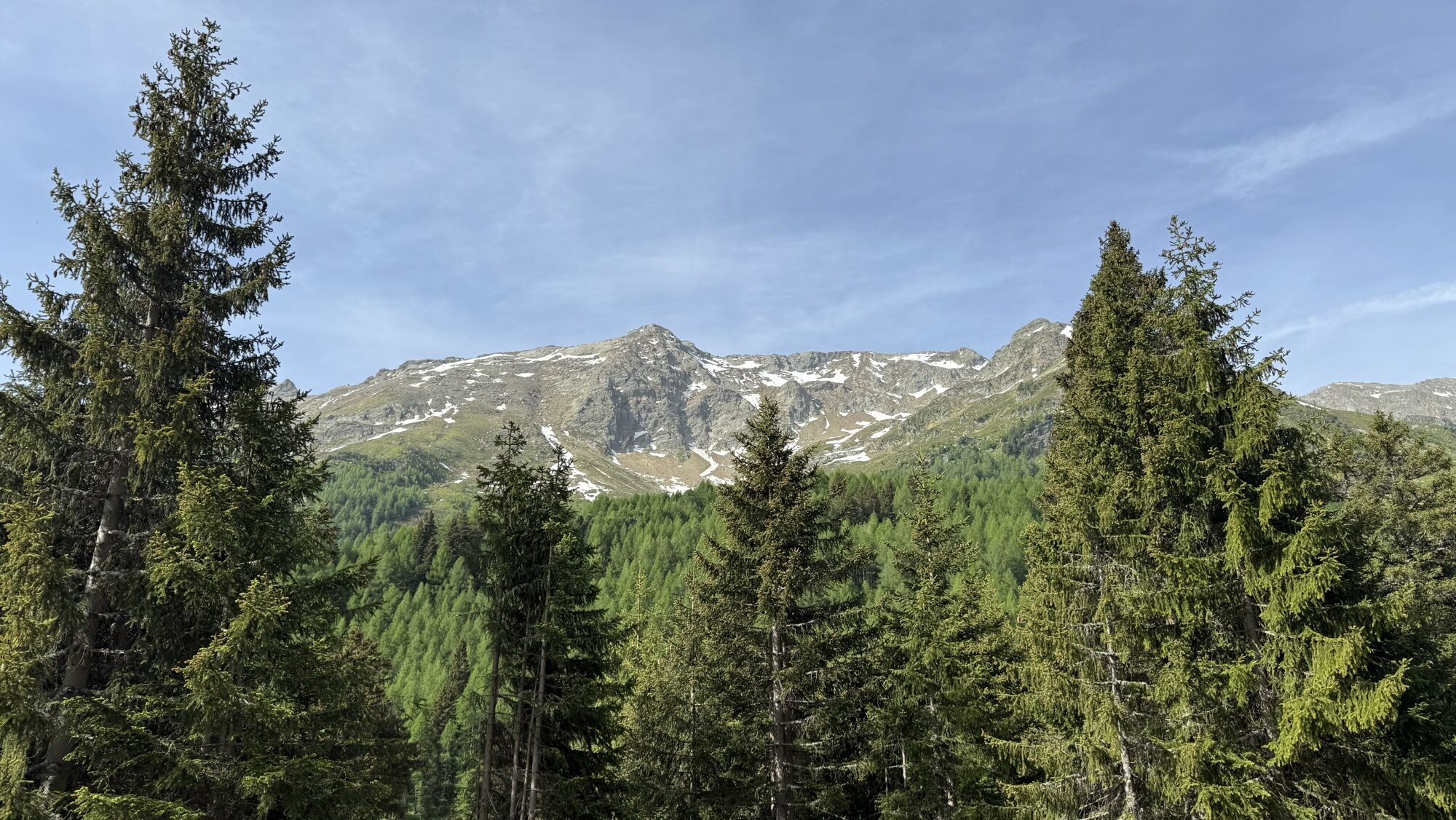
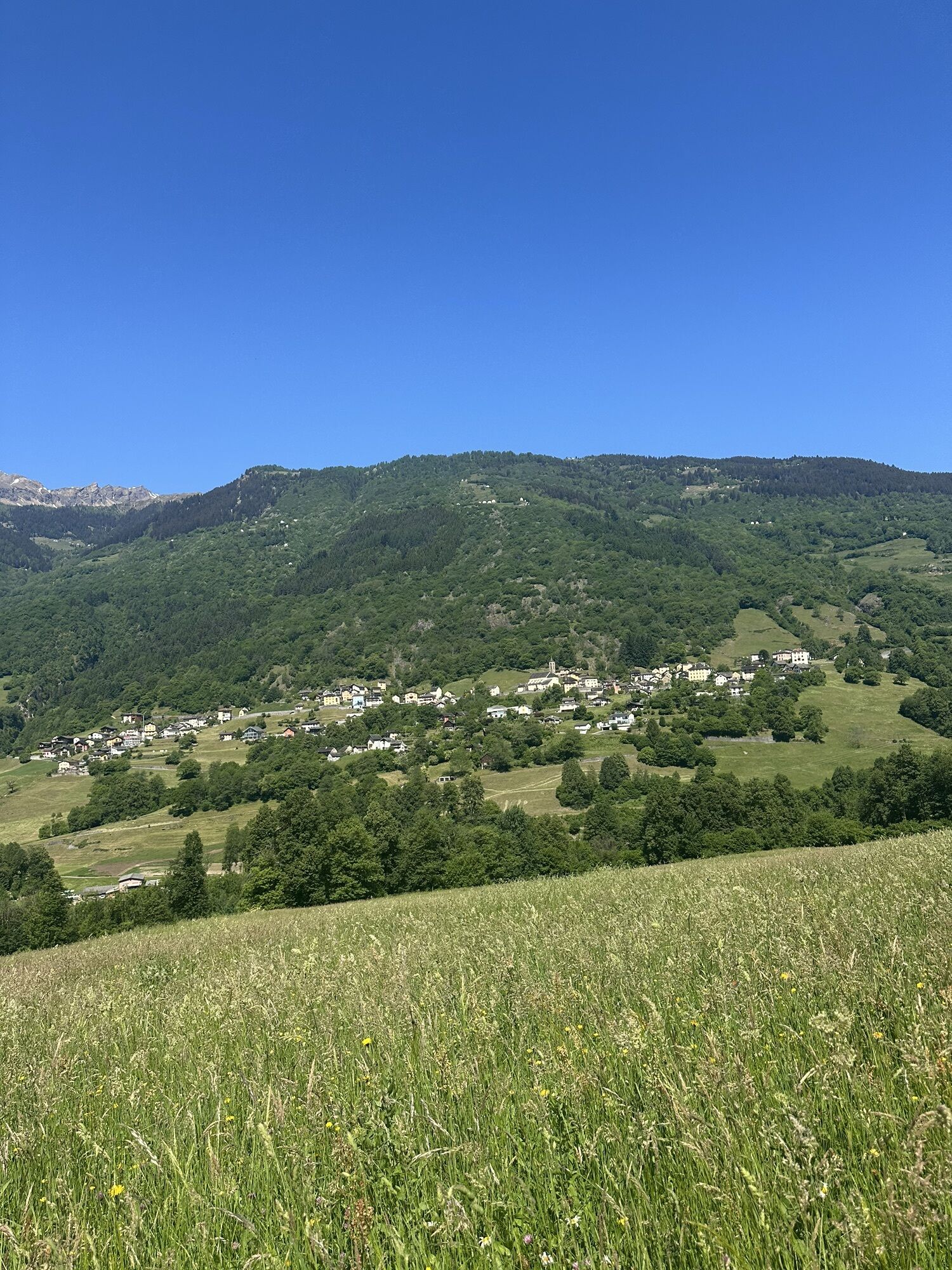
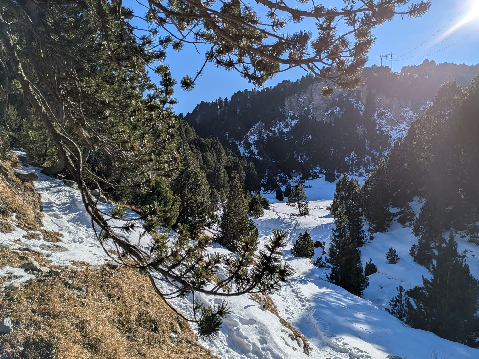
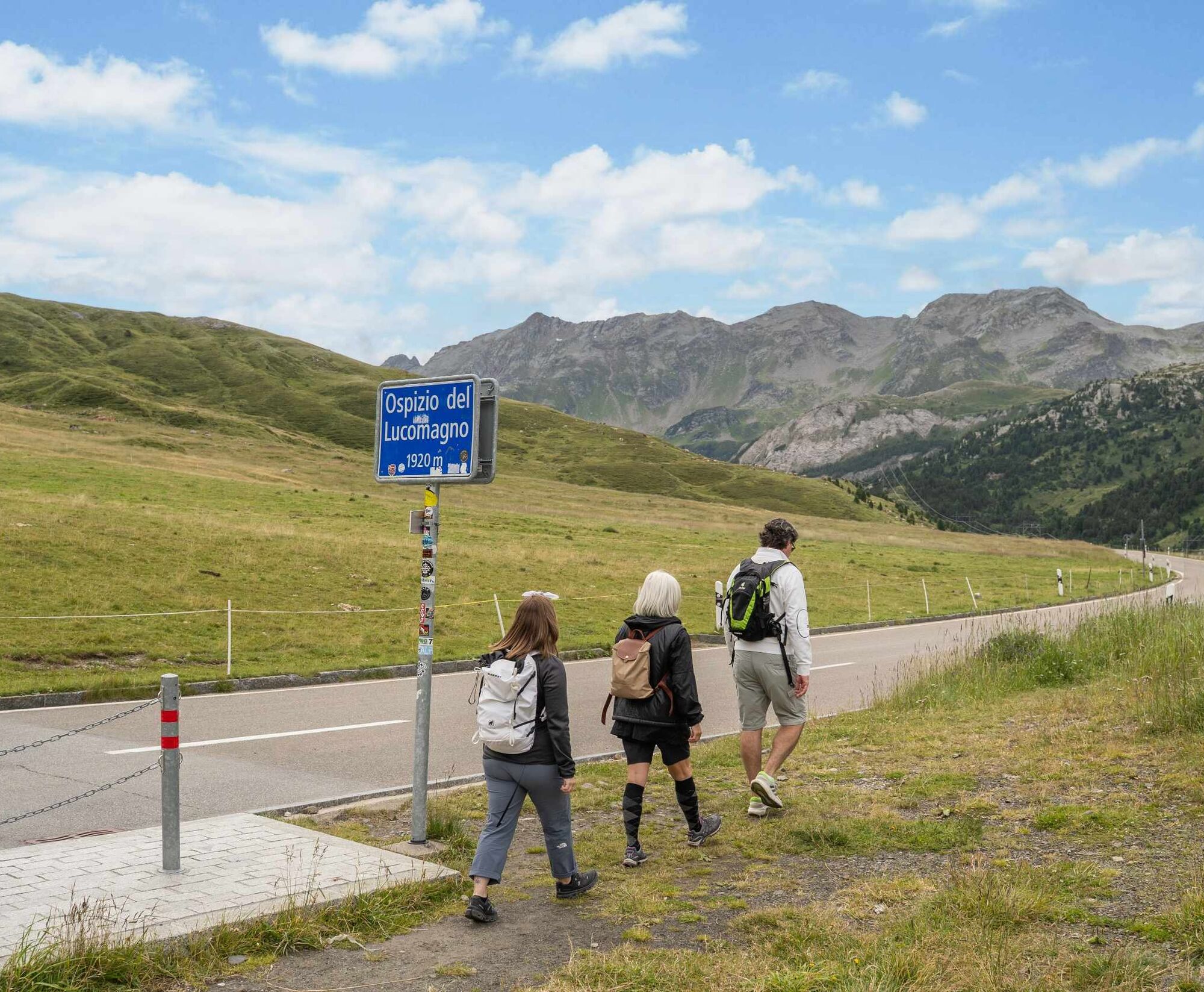
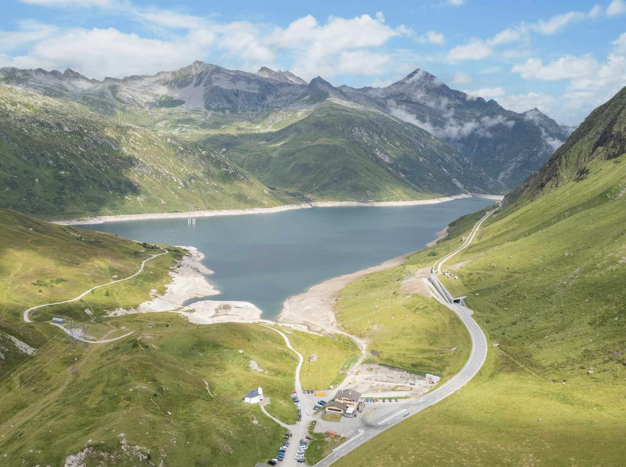
The last stage in Graubünden starts with the climb to Mumpé Medel, from where it continues to Acla, Platta, and Sogn Gions. Shortly after, the Santa Maria Dam appears on the horizon, but the path to reach its base is still long. After overcoming the last elevation gain, the new Santa Maria Hospice appears, and the view starts to open towards the Blenio Valley.
Throughout the route, public transport options ensure the possibility to reach the next intermediate destination even in case of excessive fatigue.
Stage 2: Lukmanier Pass - Olivone
After a stop at the Santa Maria Hospice, the descent towards Olivone is a path with long flat stretches interrupted by some descents. From here onwards, the Via Francisca del Lucomagno is marked as a thematic route (white arrows with the pilgrim sticker).
After the first descent, you reach the springs of the Brenno near Alpe Pertusio. Then it continues towards Casaccia (where there was an ancient hospice) and the Acquacalda Nature Center. Immediately after, the second step leads to Pian Segno, at the end of which, after crossing the cantonal road, you descend towards Campra and its Alpine Lounge. Then you continue towards the Camperio Hospice, from where the descent to Olivone begins. Before arriving in town, you encounter the Oratory of Scona, dedicated to Saint Columbanus. It is recommended to conclude the excursion with a visit to Cà da Rivöi, showcasing the culture and traditions of Olivone and the upper Blenio Valley.
Stage 3: Olivone - Biasca
The stage towards Biasca is challenging due to its length (about 30 km). A mid-stage stop at Acquarossa is possible, and along the route (or nearby), there are stops of the Bleniesi Bus Lines.
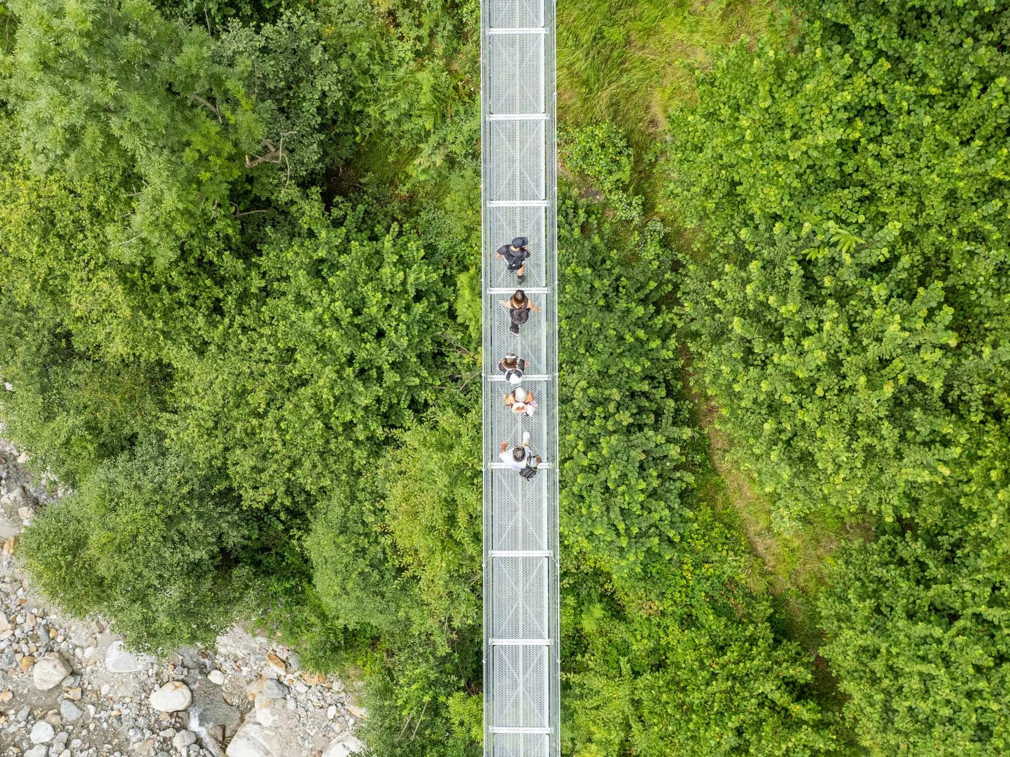
After Cà da Rivöi, you reach the settlements of Solario and Sallo, the suspension bridge over the Riasc, and the settlement of Pinaderio. Then you descend towards Ponto Aquilesco and Aquila before ascending again towards the former Cima Norma factory in Dangio and the ruins of Castel Curtero above Torre. Then you arrive at Grumo to visit the places of Master Martino de Rossi and head towards Lottigna and the Landfogti Palace, home of the Blenio Valley Museum.
After descending to Acquarossa, the path continues on the right bank of the Brenno where you encounter the Oratory of Saint Remigius, the remains of the Santa Maria Monastery (and an ancient hospice), and the ruins of Serravalle Castle before the final stretch towards Buzza di Biasca and the final destination.
Stage 4: Biasca - Bellinzona
Before leaving Biasca behind, it is recommended to visit the church dedicated to Saints Peter and Paul, a masterpiece of 12th-century Romanesque architecture and a national monument. Following the Via Crucis, it is also possible to observe the Santa Petronilla waterfall from above.
From the Biasca SBB Station, after crossing the plain, the Via Francisca del Lucomagno moves to the right bank of the Ticino, crossing the floodplain forest to Lodrino, where you encounter the “toblerones,” remnants of the Via Lona, a fortification built during the Second World War between Lodrino and Osogna to defend access to the Saint Gotthard.
Then it moves to the left bank of the Ticino, and on the horizon, you soon see the castles of Castelgrande, Montebello, and Sasso Corbaro that form the Fortress of Bellinzona.
After Arbedo, the path continues along the Ticino floodplain until the height of the municipal swimming pool, from where you turn to enter the city.
Stage 5: Bellinzona - Monte Ceneri
From Bellinzona SBB Station, the Via Francisca del Lucomagno follows the Ancient Ceneri Road created by the municipalities of Bellinzona, S. Antonino, and Cadenazzo to "combine history, environment, and culture of their territories."
Up to Cadenazzo, you mostly walk on secondary roads (with little traffic): the view embraces the Magadino Plain. The last stretch is along hiking trails in the forest and through a beautiful chestnut grove.
Several information panels tell the stories of Ticino, brigands, and emigration, the activities for territorial management, the development of communication routes, and radio transmissions.
You arrive at Piazza Ticino, a space created as a meeting point between Sopra- and Sottoceneri but also to remember the utopia of Stefano Franscini who wanted to create a city on Monte Ceneri, called Concordia, as a meeting place for all Ticinesi.
Stage 6: Monte Ceneri - Ponte Tresa
From Piazza Ticino, the Via Francisca continues towards Rivera-Soresina passing next to Grotto Ceneri. It is also possible to descend to Rivera-Bironico SBB station following the dirt road behind the former Ristorante delle Alpi. On reaching Soresina, you continue through the forest towards Sorencino, Vira, Mezzovico, then Sigirino and the settlement of Osignano. After a climb to overcome Monte Barro, you reach Torricella. Passing behind Torricella Castle, the route continues towards the settlement of Manno and then proceeds at a higher elevation through long forest stretches paralleling the cantonal road.
Arriving at Bioggio, you cross the Vedeggio plain, then walk along the river and shores of Lake Lugano until Magliaso. From Magliasina, it is recommended to climb towards Pura to reach Ponte Tresa "from above." However, it is also possible to arrive at Ponte Tresa via a "lower variant" that skirts the often busy cantonal road.
Stage 7: Ponte Tresa - Pavia
After crossing the Tresa river and the customs checkpoint, you immediately find the trail markers with the pilgrim and the Via Francisca del Lucomagno sign.
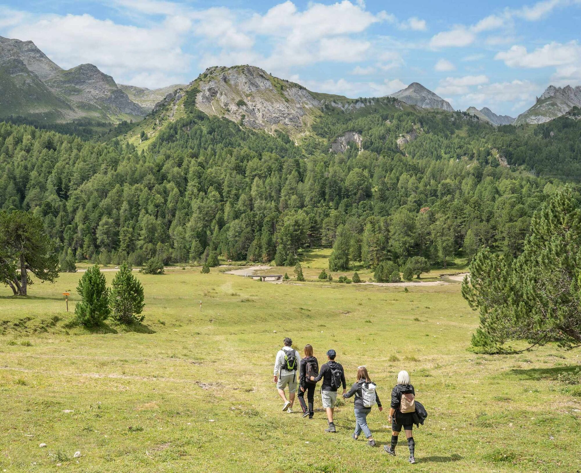
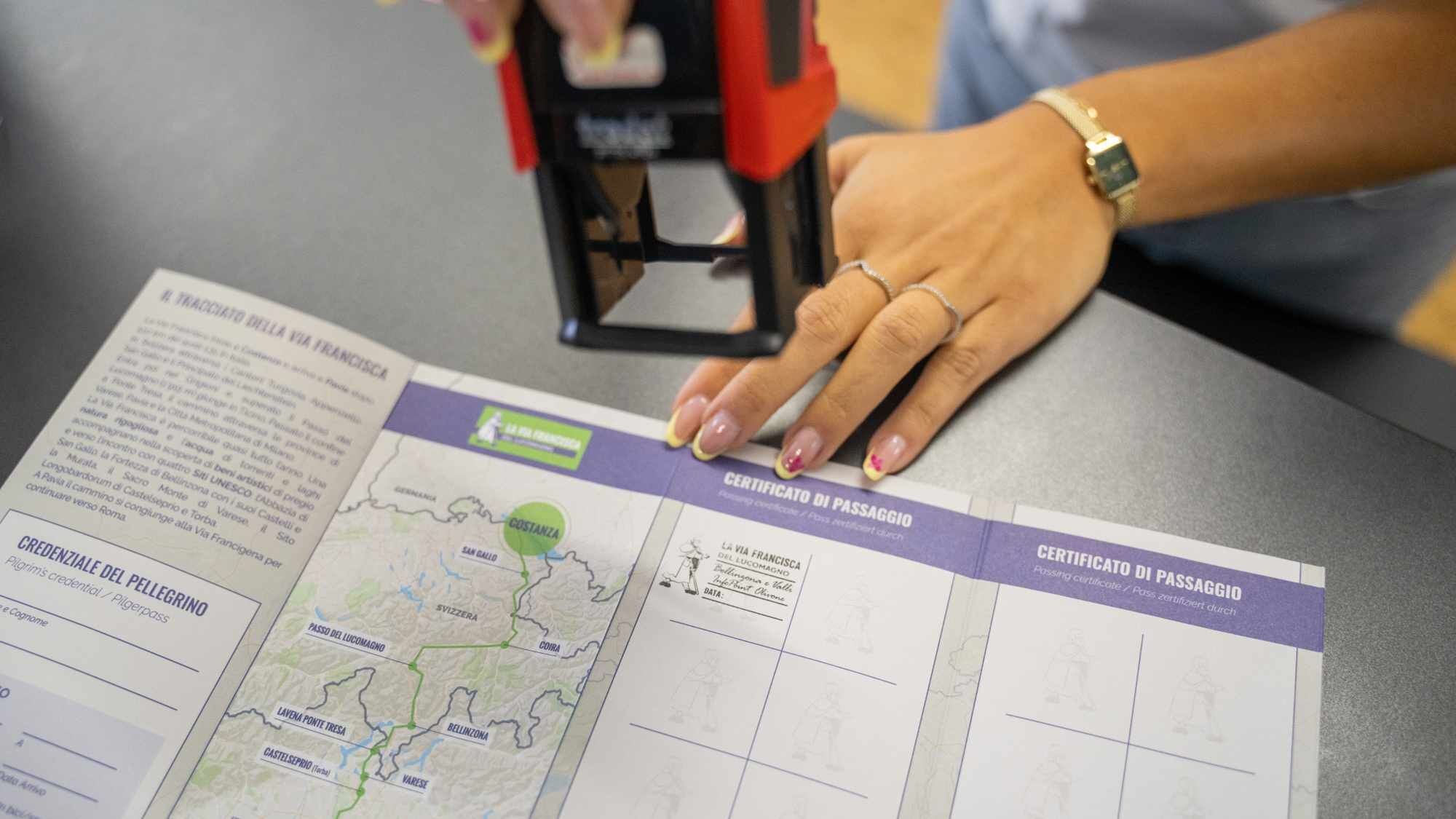
After skirting the lake, continue towards Marchirolo and Val Ganna, then reach Varese. After visiting the Sacred Mountain, continue towards Castiglione Olona, then Castellanza and Castelletto di Cuggiono. Now in the Po Valley plain and heading towards Abbiategrasso, you walk alongside the Naviglio canal, after which you head towards Bereguardo. The last stage leads to Pavia, where in the sacristy of the Basilica of San Pietro in Ciel d'Oro (which houses the tomb of Saint Augustine), presenting the credential allows you to receive the Testimonium.
All information on the Via Francisca in Italy is available on the Via Francisca del Lucomagno website.
In Pavia, the Via Francisca del Lucomagno meets the Via Francigena, which leads all the way to Rome. For more information: The route - Via Francigena (viefrancigene.org).


Webové kamery z prohlídky
Získejte přehled
Vždy živě na místě s více než 9 500 webkamerami. bergfex Jako uživatel Pro si nyní můžete zobrazit odpovídající webové kamery pro mnoho prohlídek v aplikaci prohlídky z. Můžete si tak přímo prohlédnout aktuální podmínky.
Oblíbené prohlídky v okolí
-
5.0
Lavertezzo-Brione Verzasca
světloTuristika 6.50 km -
3.3
Entlang der Verzasca von Sonogno via Brione nach Lavertezzo
světloTuristika 14.5 km -
4.5
Revöira Ethnographic Trail (SwitzerlandMobility 629)
středníTuristika 7.97 km -
4.0
Vogorno-Alpe Bardughè-Vogorno
středníTuristika 12.2 km -
5.0
Valle Verzasca Trail
středníTrailrunning 24.1 km -
4.5
Brione Verzasca-Sonogno
světloTuristika 8.28 km -
Lago di Canée
Turistika 14.2 km -
Albagno Hut
světloTuristika 9.35 km -
Frasco-Efra Hut-Frasco
heavydálková pěší trasa 17.6 km -
Alta Verzasca Bike (SwitzerlandMobility 399)
středníMountainbike 8.92 km
Pěší turistika a stopování


Nenechte si ujít nabídky a inspiraci pro vaši příští dovolenou
Vaše e-mailová adresa byl přidán do poštovního seznamu.





