







Stage 1: Giumaglio-Arnau-Costa-Alpe Spluga
Úroveň obtížnosti: T2
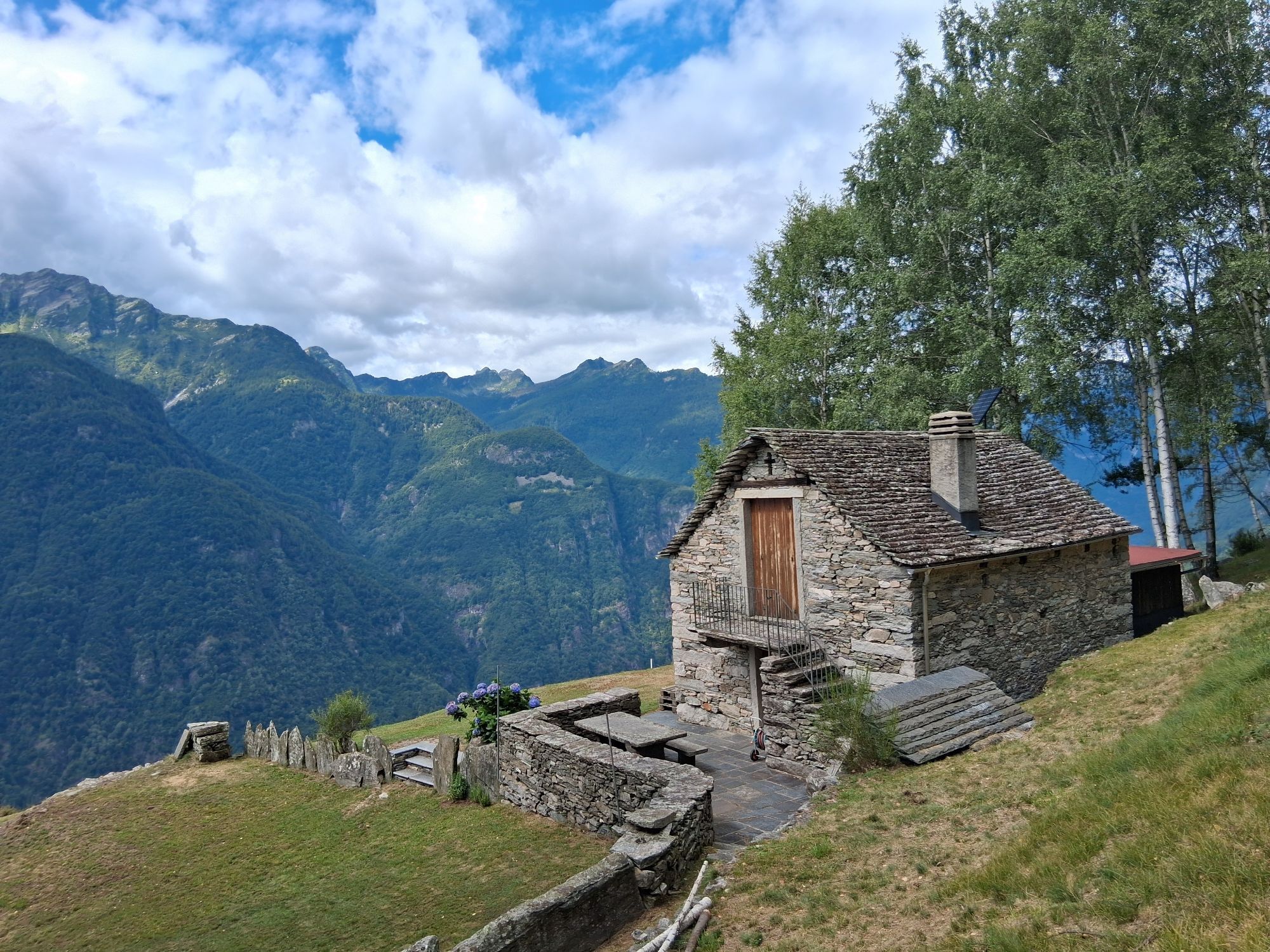
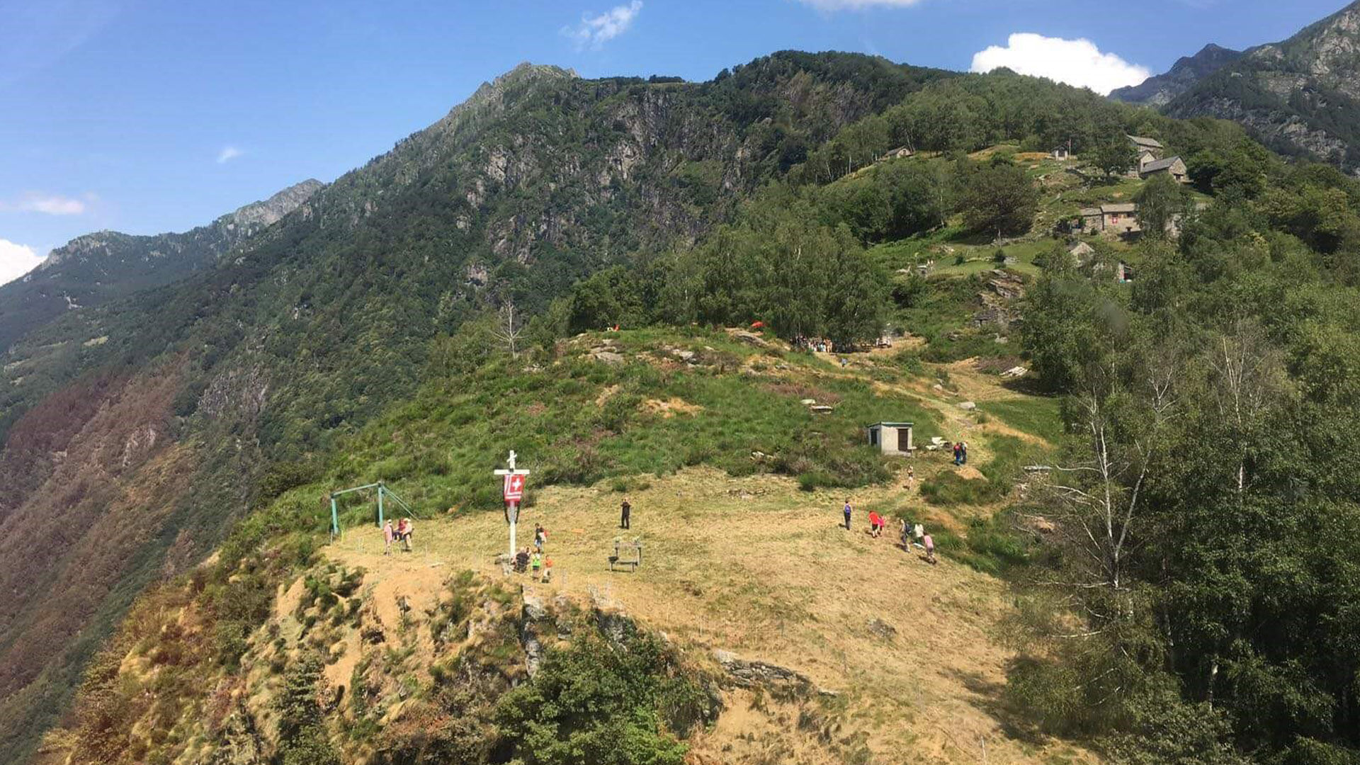
Already from the valley floor, you can see the summit cross of the first goal: Arnau. And looking up from below at the steep rocky spur along the ascent, it is almost impossible to understand how to reach...
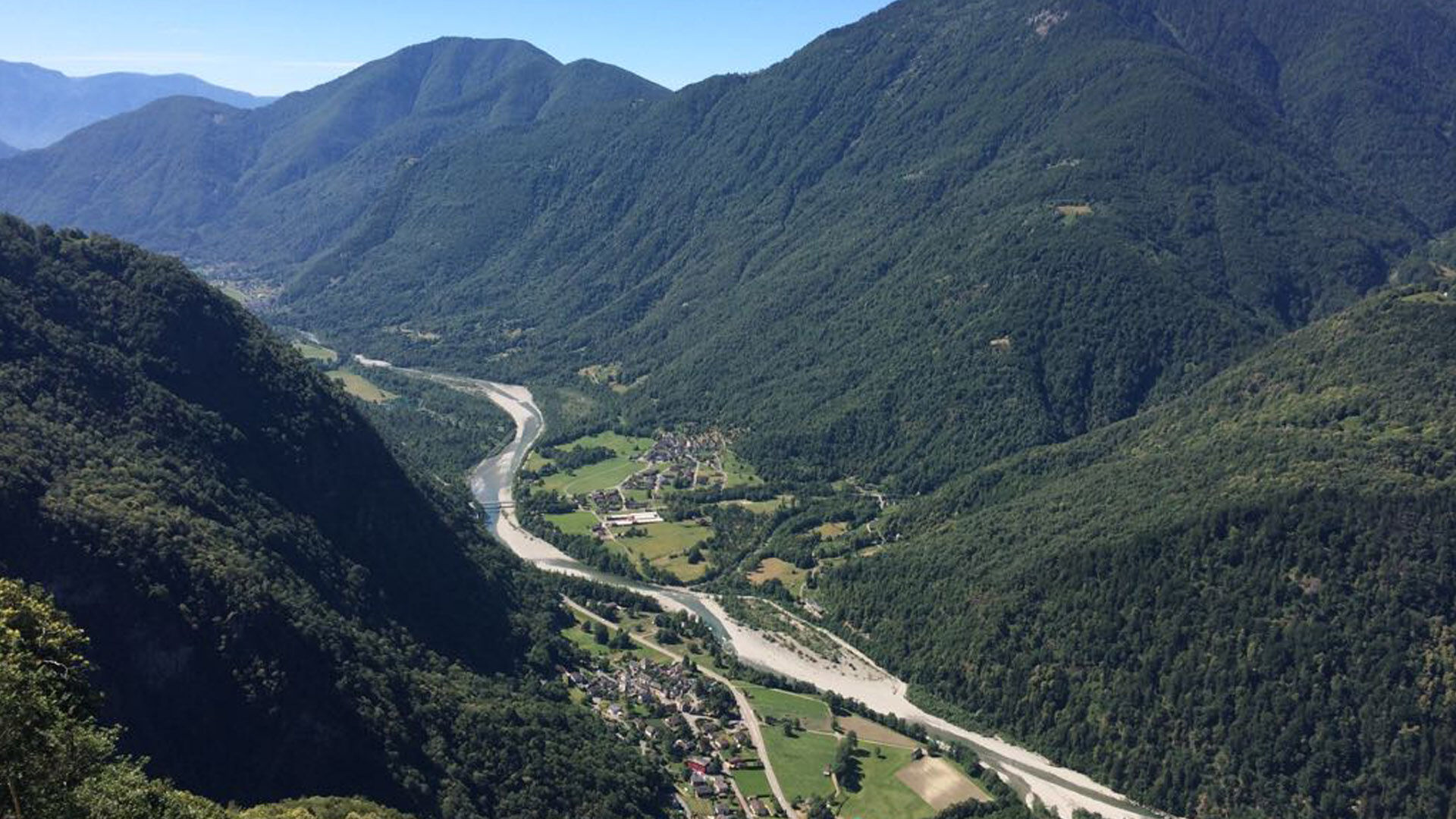
Already from the valley floor, you can see the summit cross of the first goal: Arnau. And looking up from below at the steep rocky spur along the ascent, it is almost impossible to understand how to reach it. The path is steep right from the start: the long stone staircases of the white-red trail mostly wind through the forest.
Once at the summit, with Vallemaggia at your feet, the view is truly unique. Then continue to Alpe Costa, passing a cluster of rustic buildings where you can rest while enjoying the panorama. The ascent to Costa soon becomes less steep, and you then continue within the valley to a wide clearing, Alpe Spluga. The unattended hut is open from May to October.

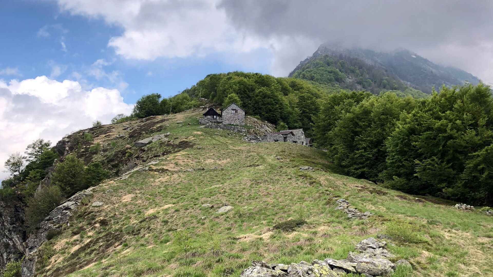
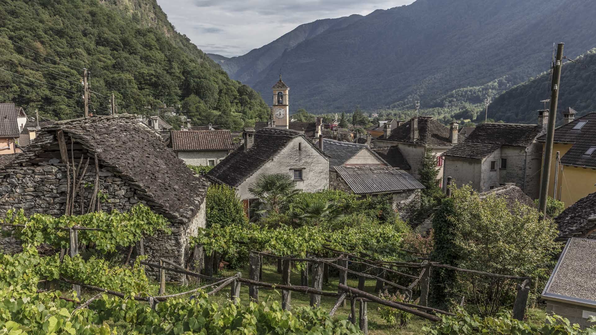
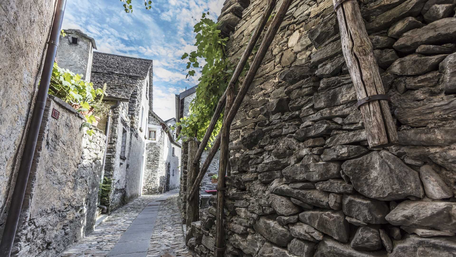
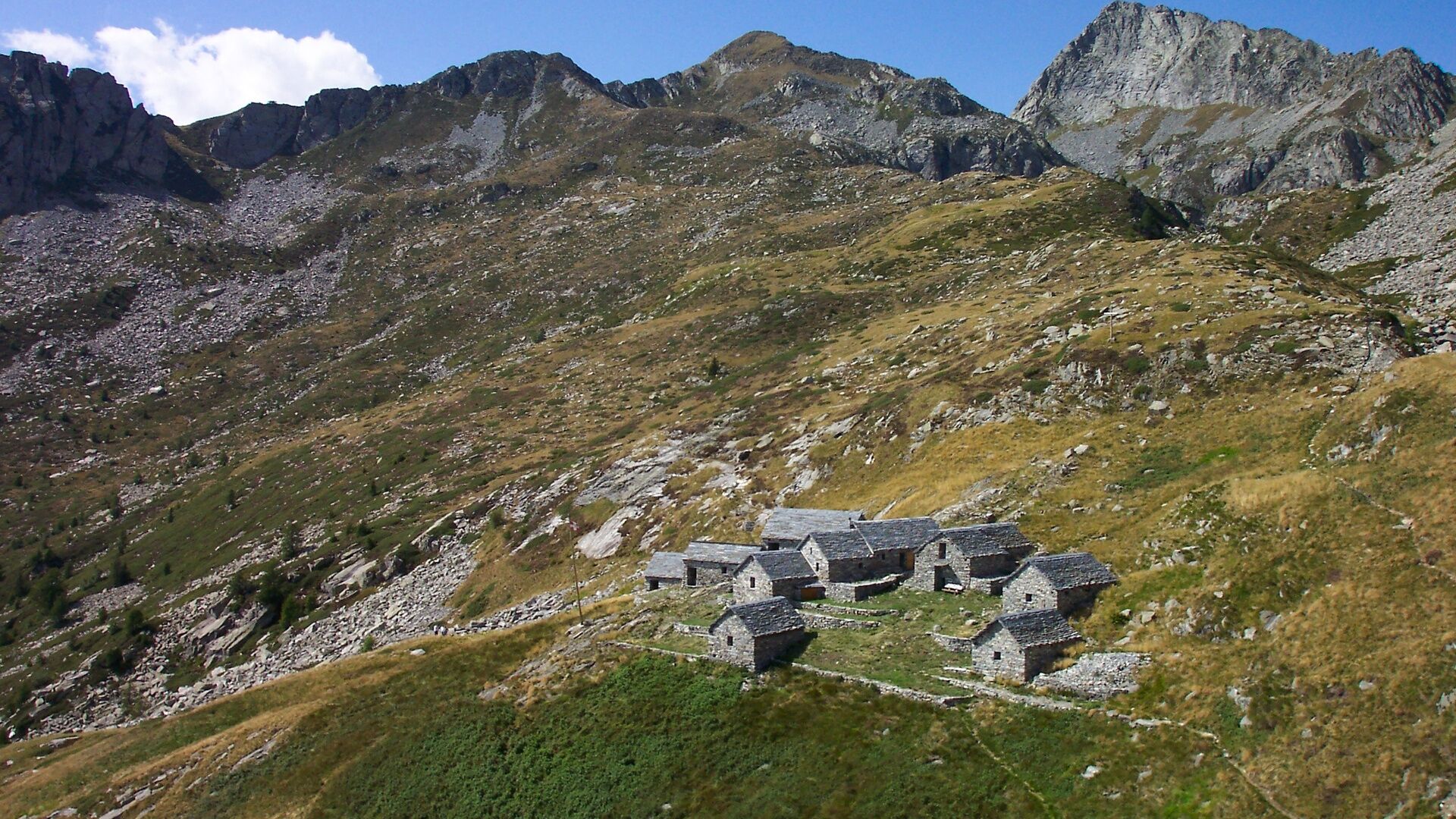
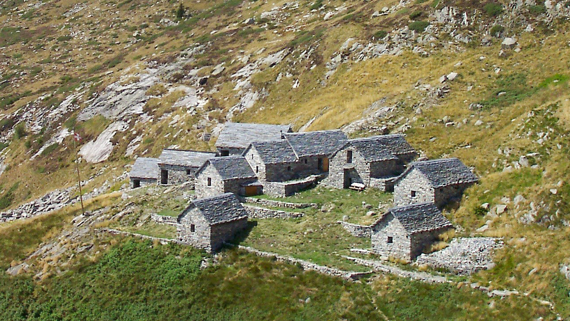
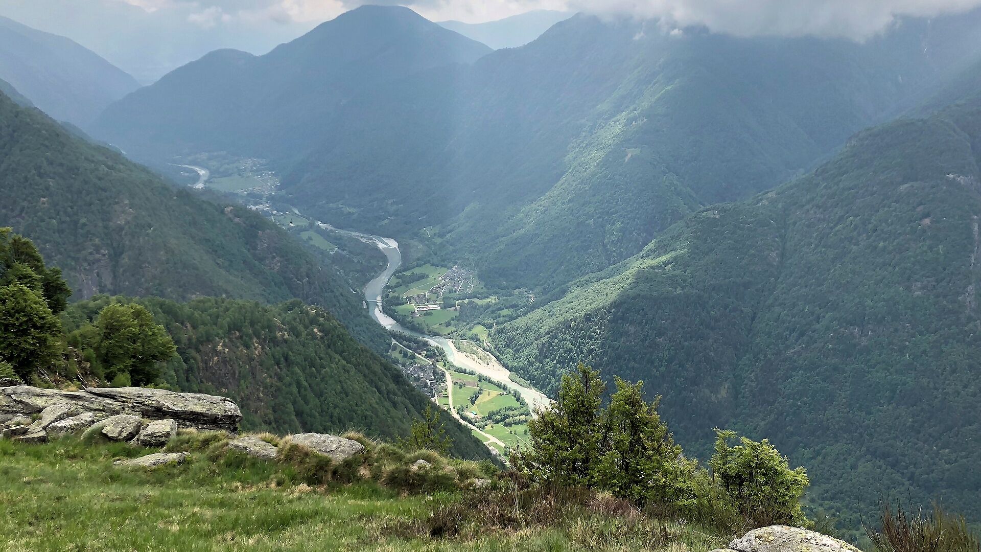

Giumaglio-Berzona-Arnau-Costa-Alpe Spluga Hut
Ano
Trekking backpack (approx. 50 liters) with rain cover
Sturdy and comfortable shoes, possibly spare shoes / sandals
Clothing suitable for weather conditions and durable, layering clothing principle
Change of clothes
Trekking poles
Sun and rain protection
Provisions and portable water
First aid kit
Pocket knife
Mobile phone
Headlamp
Map material
Identity documents
Toiletry bag and travel towel
Hand wash detergent and laundry rope, camping equipment (tent, sleeping mat, sleeping bag, cooking equipment), possibly hut equipment
Swiss Trails - Safe hikes
T2
For hut reservations: Tel. +41 (0)91 753 23 49 / E-mail: info@alpesplurga.ch
Oblíbené prohlídky v okolí
-
4.8
Valle del Salto round route (SvizzeraMobile 611)
středníTuristika 8.84 km -
3.3
Entlang der Verzasca von Sonogno via Brione nach Lavertezzo
světloTuristika 14.5 km -
4.8
Avegno-Ponte Brolla-Avegno
středníTuristika 8.56 km -
5.0
Lavertezzo-Brione Verzasca
světloTuristika 6.50 km -
4.5
Revöira Ethnographic Trail (SwitzerlandMobile 629)
středníTuristika 7.97 km -
4.0
Cardada Bike (SwitzerlandMobility 397)
heavyMountainbike 30.6 km -
Maggia-Someo-Maggia
světloTuristika 15.5 km -
Cardada-Cimetta-Alpe Vegnasca-Cardada
středníTuristika 6.86 km -
4.0
Foroglio-Calnègia-Foroglio
středníTuristika 8.37 km -
Via Alta Vallemaggia - 1st stage: Cimetta-Capanna Alpe Nimi
heavyTuristika 10.2 km
Pěší turistika a stopování


Nenechte si ujít nabídky a inspiraci pro vaši příští dovolenou
Vaše e-mailová adresa byl přidán do poštovního seznamu.





