






Val Porta: Capanna Borgna - Vogorno
Úroveň obtížnosti: T3
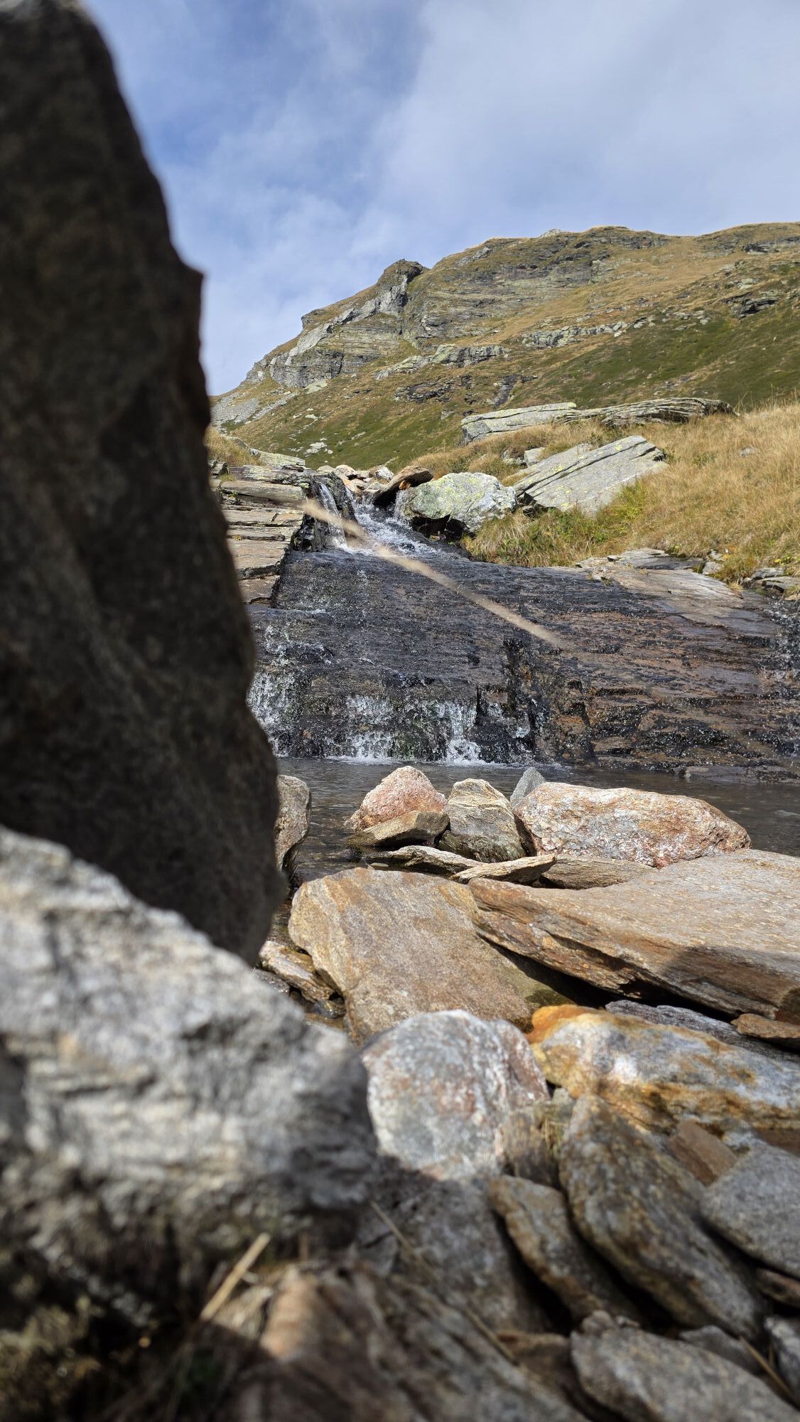
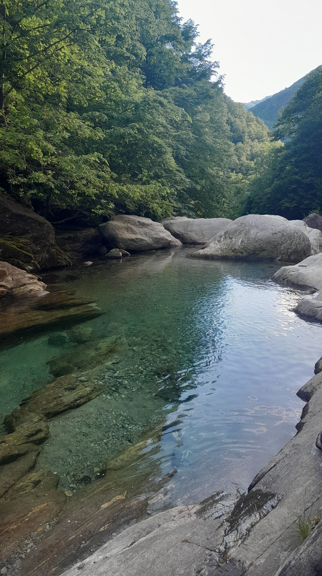

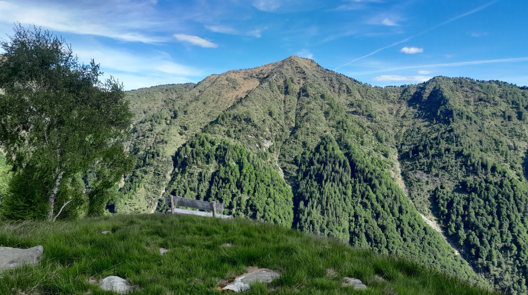

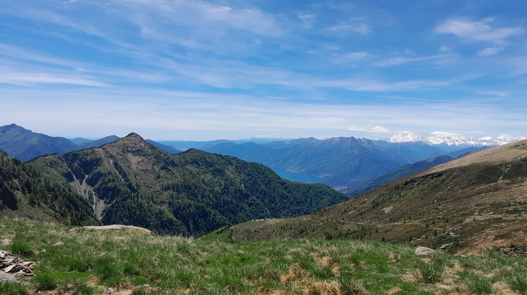
The second stage of the two-day tour through the Val Porta follows the Borgna hut along the right side of the valley back to Vogorno. The hut is open from May to October and offers a kitchen as well as...
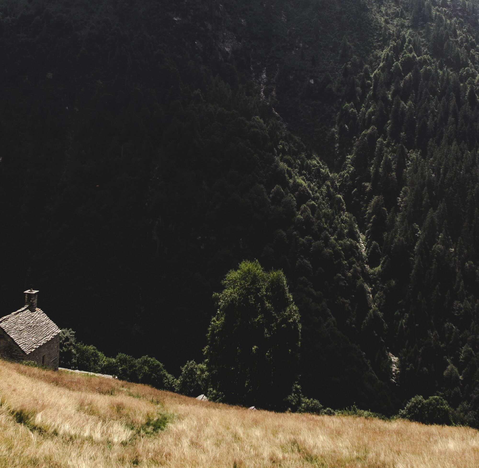
The second stage of the two-day tour through the Val Porta follows the Borgna hut along the right side of the valley back to Vogorno. The hut is open from May to October and offers a kitchen as well as WC/shower facilities. The right side of the forest reserve is steep in the lower part but opens up higher up where you can find sunny meadows. While the southern slopes were used for wood harvesting, the northern ones were used for grass harvesting. From the hut, located on a spacious meadow, follow the direction towards Pizzo Vogorno until you reach a wetland biotope. There is a simple emergency shelter in Crápia. Through beautiful larch and beech forests, descend to the Oratorio di S. Antonio. From Rienza, a large mountain pasture, continue through the birch forest past the two springs Mosciöi and Morasc. In the alder forest, follow the rock along a long historic stone staircase down to the Oratorio della Colletta, the gateway to Val Porta. Now it is just a stone's throw to Vogorno.


Capanna Borgna-Pianca-Rienza-Colletta-Vogorno
Ano
Trekking backpack (approx. 50 liters) with rain cover
sturdy and comfortable footwear, possibly extra shoes/sandals
weather-appropriate and durable clothing in a layering system
change of clothes
telescopic poles
sun and rain protection
provisions and drinking water
first aid kit
pocket knife
mobile phone
headlamp
maps
travel documents
toiletry bag and travel towel
hand wash detergent and clothesline, if necessary camping equipment (tent, sleeping mat, sleeping bag, cooking equipment), if necessary hut equipment
Suisse Rando - Marcher en toute sécurité
From Vogorno: Take bus 321 towards Tenero, Brere. Get off at Tenero station.
T3
Získejte přehled
Vždy živě na místě s více než 9 500 webkamerami. bergfex Jako uživatel Pro si nyní můžete zobrazit odpovídající webové kamery pro mnoho prohlídek v aplikaci prohlídky z. Můžete si tak přímo prohlédnout aktuální podmínky.
Oblíbené prohlídky v okolí
-
4.9
Verzasca Dam-Mergoscia-Corippo-Lavertezzo
středníTuristika 13.0 km -
5.0
Valle del Salto round route (SvizzeraMobile 611)
středníTuristika 8.84 km -
4.6
Tibetan Bridge route (SwitzerlandMobile 628)
středníTuristika 9.02 km -
3.3
Entlang der Verzasca von Sonogno via Brione nach Lavertezzo
světloTuristika 14.5 km -
4.8
Avegno-Ponte Brolla-Avegno
středníTuristika 8.56 km -
5.0
Lavertezzo-Brione Verzasca
světloTuristika 6.50 km -
4.5
Revöira Ethnographic Trail (SwitzerlandMobile 629)
středníTuristika 7.97 km -
4.0
Cardada Bike (SwitzerlandMobility 397)
heavyMountainbike 30.6 km -
5.0
Verzasca Dam-Monti di Motti-Verzasca Dam
středníTuristika 9.31 km -
Cardada-Cimetta-Alpe Vegnasca-Cardada
středníTuristika 6.86 km
Pěší turistika a stopování


Nenechte si ujít nabídky a inspiraci pro vaši příští dovolenou
Vaše e-mailová adresa byl přidán do poštovního seznamu.





