


Stage 1: Maggia-Alpe Masnee Refuge
Úroveň obtížnosti: T3
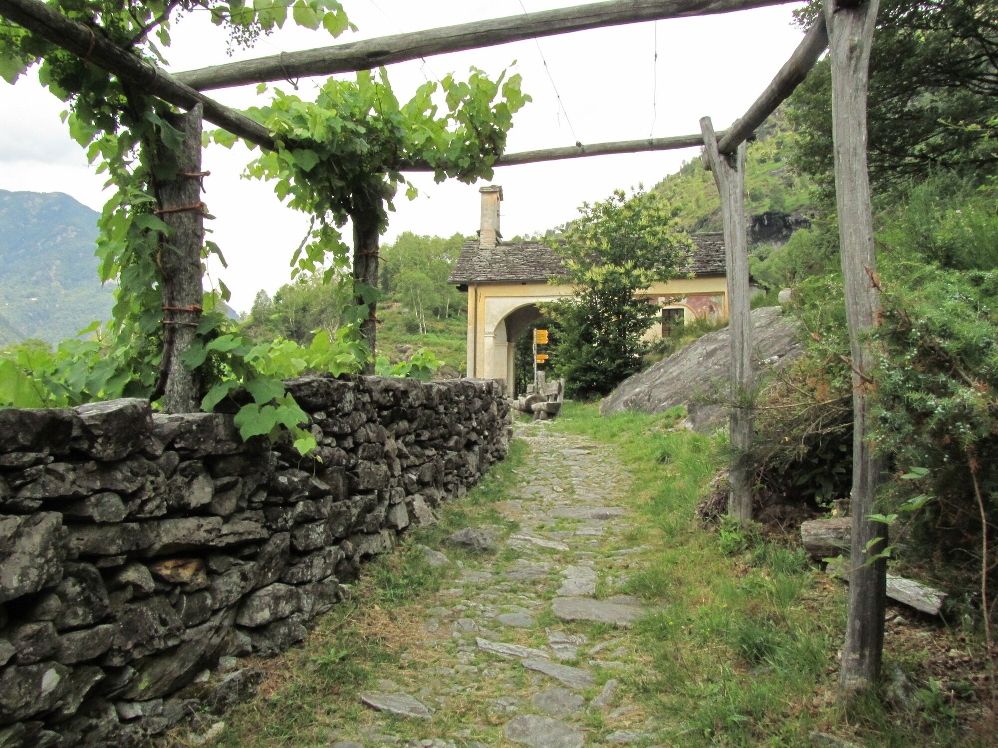
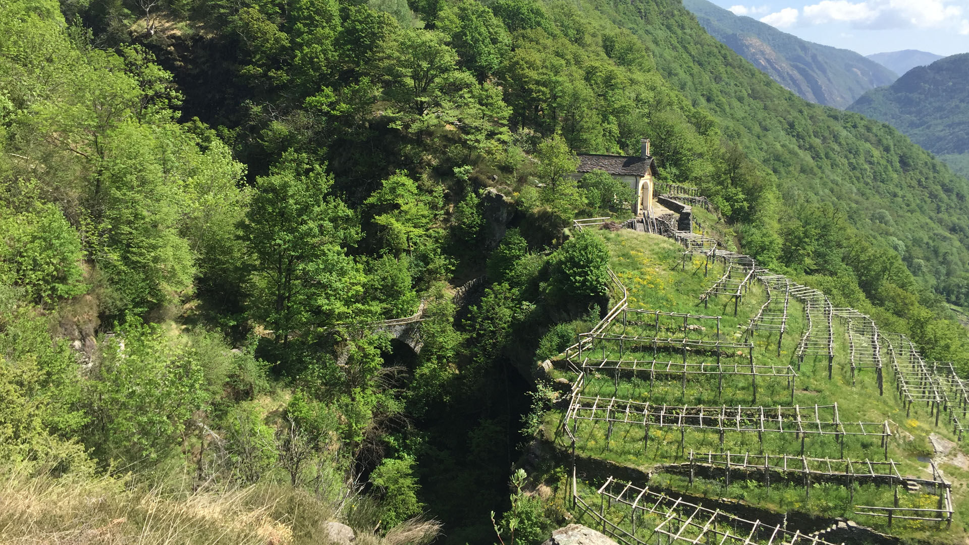
From afar, above Maggia, you can see the Pioda Chapel surrounded by vineyards. The hike begins with a series of stone steps leading directly to the chapel. Along the way, you are accompanied by the sound...
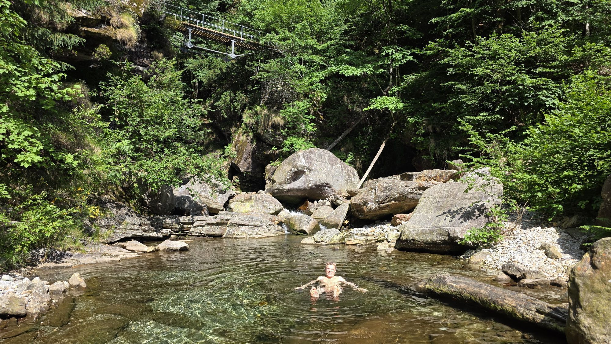
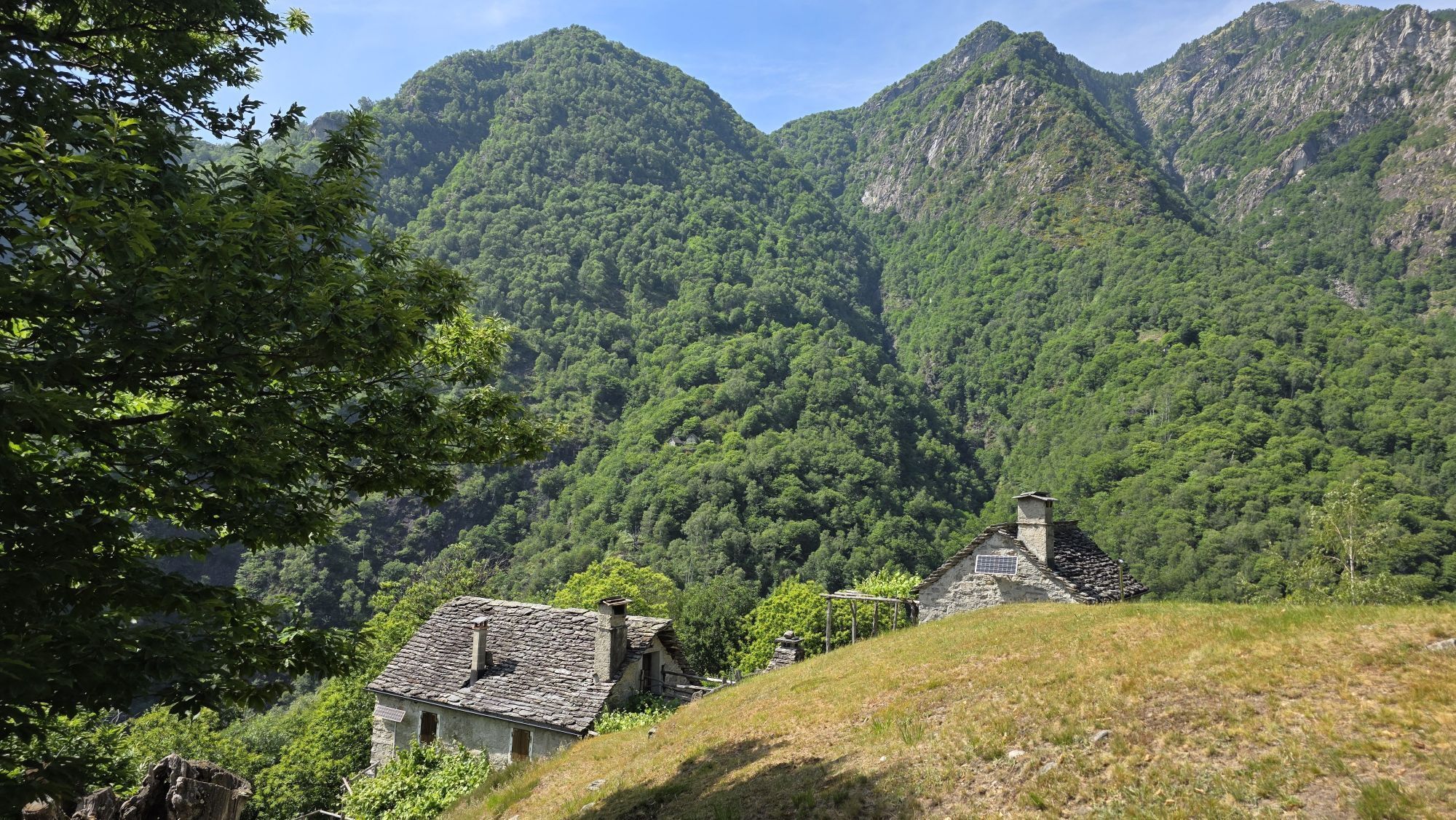
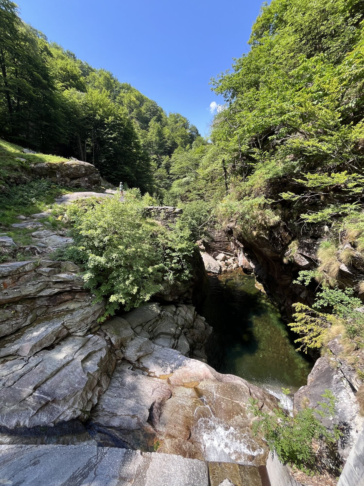
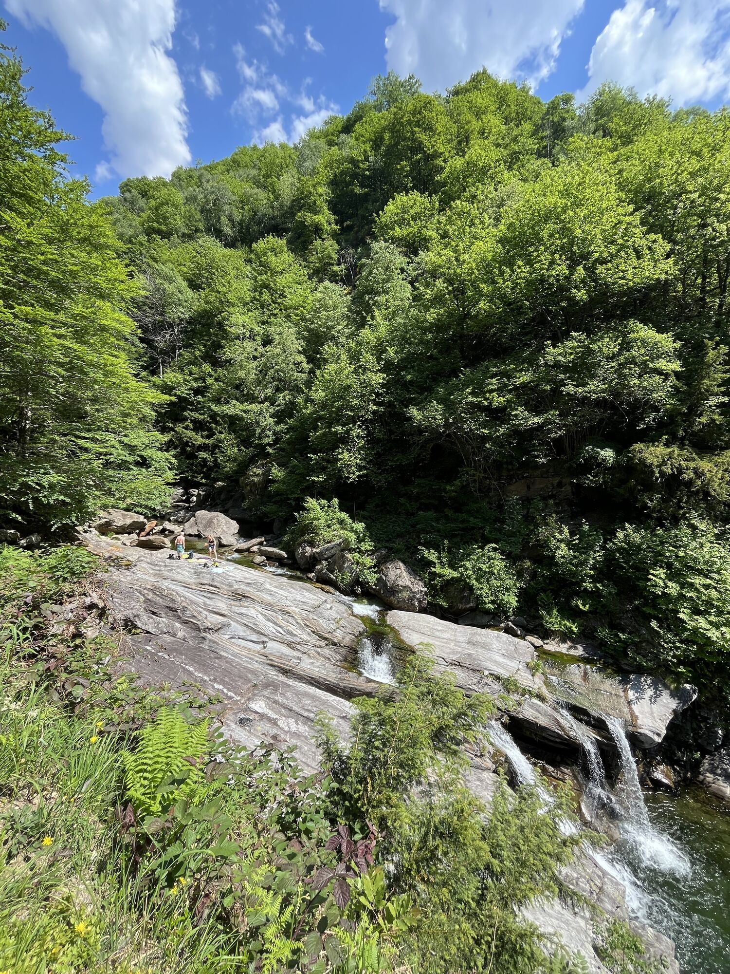
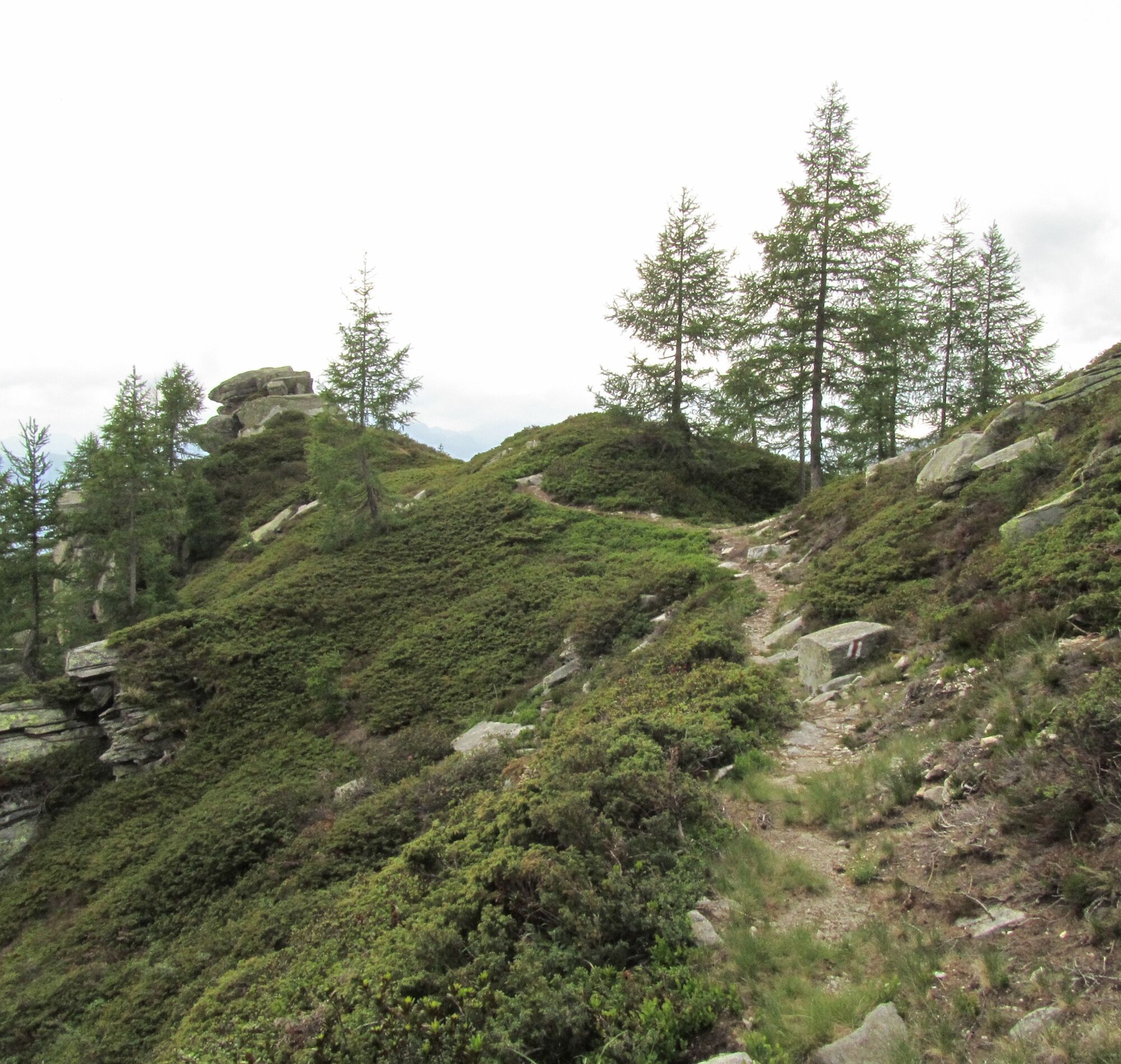
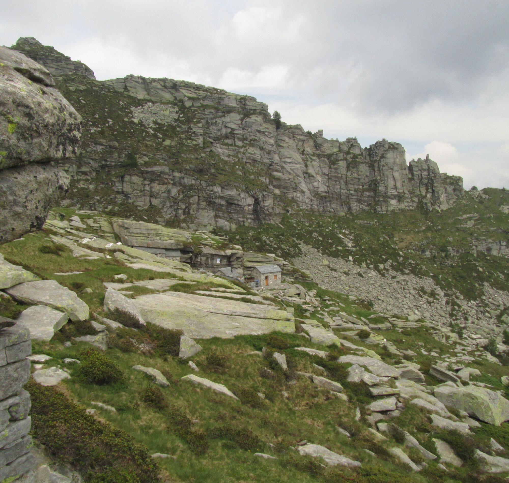
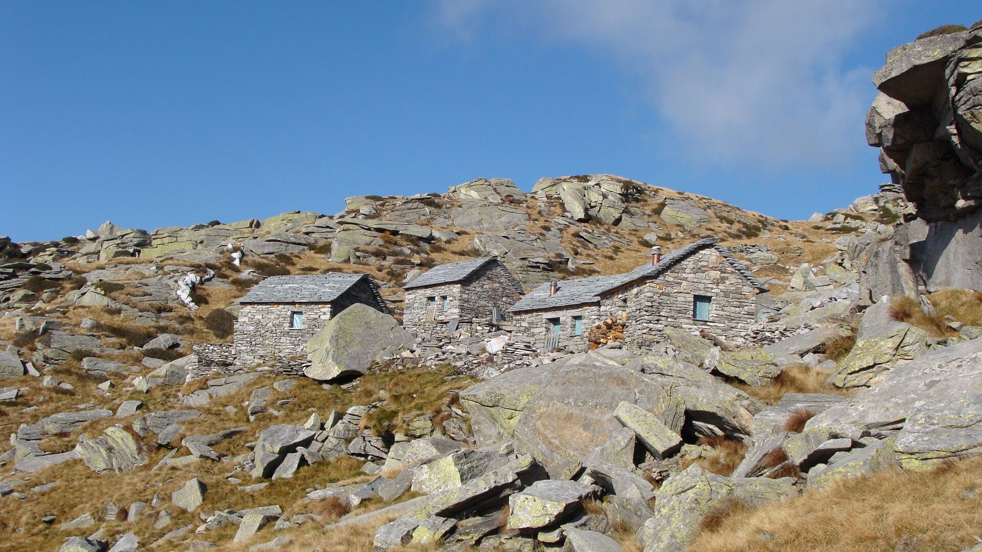
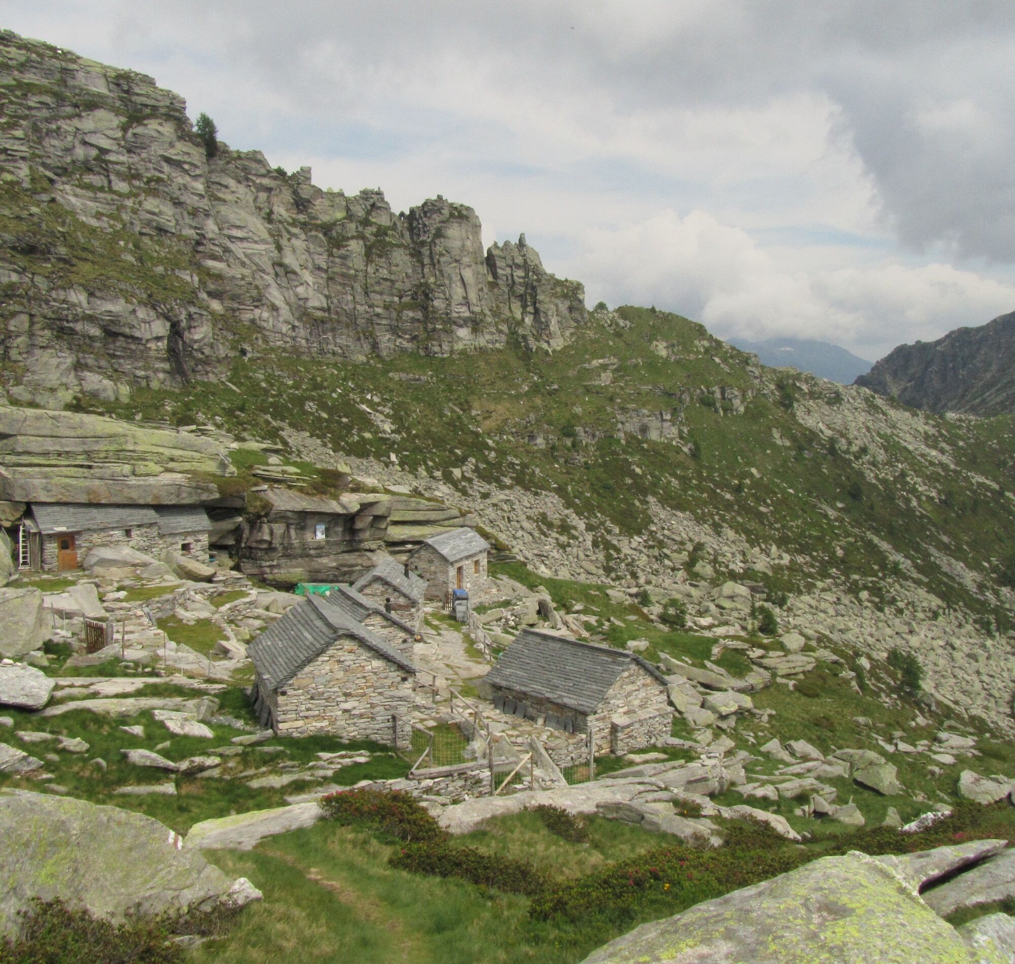
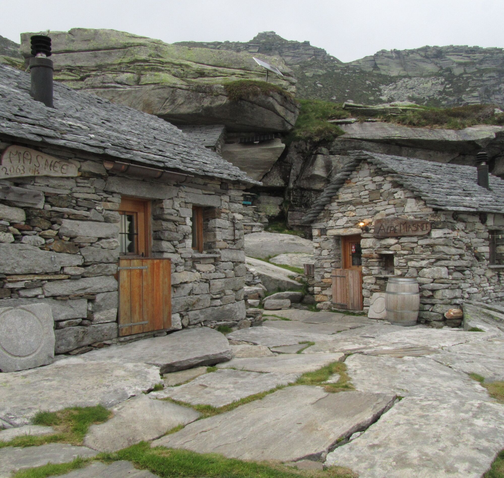
From afar, above Maggia, you can see the Pioda Chapel surrounded by vineyards. The hike begins with a series of stone steps leading directly to the chapel. Along the way, you are accompanied by the sound of the distinctive Salto Waterfall, which plunges roaring into the valley nearby. The trail crosses the fairytale-like and predominantly shaded Salto Valley until the end of the valley, where the real ascent begins. Passing various hamlets, you venture deeper into an alpine environment where nature becomes increasingly wild. The last section is once again very steep, but you are soon rewarded by the beauty of the Pianca Pond, shortly before reaching today’s destination. Gathering your strength, you climb the remaining meters up to the hut. The Alpe Masnee Refuge has six stone huts where you can spend the night and cook. The isolation makes this place a wellness oasis surrounded by peaks.


Maggia-La Samaritána-In Òvia-Al Pontíd-Cassinèla-In Rinsg-In Máiasc-In Poèe-In Adèva-Al Bog-Pianca Pond-Alpe Masnee Refuge
Ano
Trekking backpack (approx. 50 liters) with rain cover
Sturdy and comfortable shoes, possibly change shoes/sandals
Clothing suitable for weather conditions and durable, layering principle
Change of clothes
Trekking poles
Sun and rain protection
Provisions and portable water
First aid kit
Pocket knife
Mobile phone
Headlamp
Map material
Identity documents
Toiletry bag and travel towel
Hand washing detergent and clothesline, camping equipment (tent, sleeping pad, sleeping bag, cooking equipment), possibly hut equipment
Swiss Trails - Safe hikes
T3
Oblíbené prohlídky v okolí
-
4.9
Verzasca Dam-Mergoscia-Corippo-Lavertezzo
středníTuristika 13.0 km -
5.0
Valle del Salto round route (SvizzeraMobile 611)
středníTuristika 8.84 km -
3.3
Entlang der Verzasca von Sonogno via Brione nach Lavertezzo
světloTuristika 14.5 km -
4.8
Avegno-Ponte Brolla-Avegno
středníTuristika 8.56 km -
5.0
Lavertezzo-Brione Verzasca
světloTuristika 6.50 km -
4.5
Revöira Ethnographic Trail (SwitzerlandMobile 629)
středníTuristika 7.97 km -
4.0
Cardada Bike (SwitzerlandMobility 397)
heavyMountainbike 30.6 km -
5.0
Verzasca Dam-Monti di Motti-Verzasca Dam
středníTuristika 9.31 km -
Maggia-Someo-Maggia
světloTuristika 15.5 km -
Cardada-Cimetta-Alpe Vegnasca-Cardada
středníTuristika 6.86 km
Pěší turistika a stopování


Nenechte si ujít nabídky a inspiraci pro vaši příští dovolenou
Vaše e-mailová adresa byl přidán do poštovního seznamu.