




Hike to Summit of Selfitafjall
For all who need 100% nature after too many kilomterer driving, seeing Fosses, Lagunes and wide stony planes. The tour follows no defined path, sometimes has farmer roads but mostly goes along sheep trails...
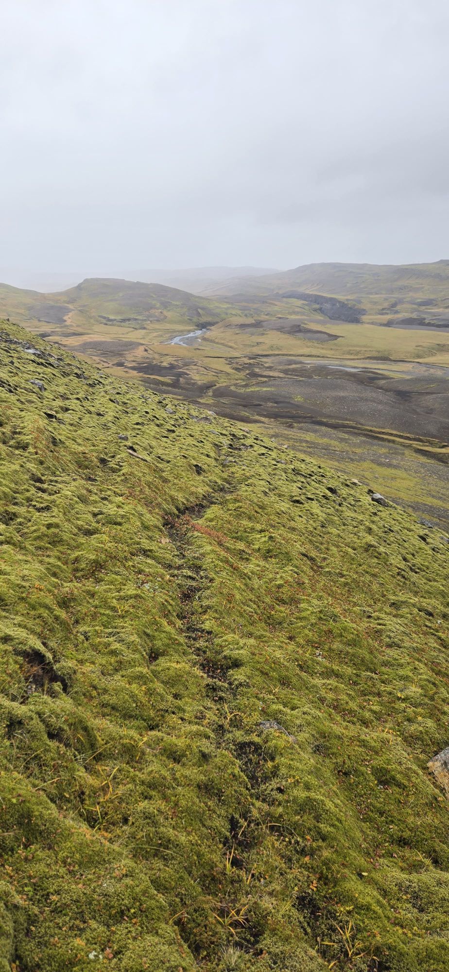
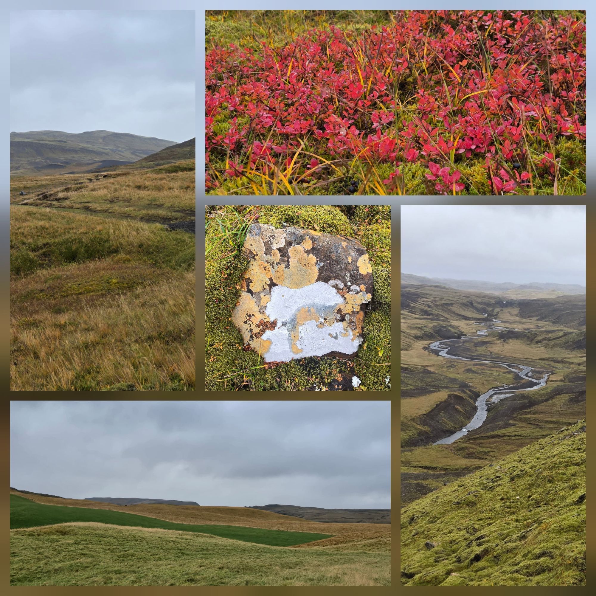
For all who need 100% nature after too many kilomterer driving, seeing Fosses, Lagunes and wide stony planes. The tour follows no defined path, sometimes has farmer roads but mostly goes along sheep trails and creek flows. Still the tour is easy to hike and offers wonderfull views into a wide valley and soft mountains. I should mention that you have to step over two farmer fences... A clear hihlight is the moos on which you walk up the mountain: It is ankle deep and feathers each step you do, but you also walk on lava sand and go along a wild river. You should take this route as a proposal and find your own hike. We had rain showers, heavy winds (80++ km/h) which felt like skin peeling, sunny passages and wind still places and that is why we returned back the same way. Under better weather our hike would be longer. Out there you feel free and sinply good.



Pěší turistika a stopování


Nenechte si ujít nabídky a inspiraci pro vaši příští dovolenou
Vaše e-mailová adresa byl přidán do poštovního seznamu.





