


Alpannonia® - long-distance trail: Semmering - Bad Schönau


Fotografie našich uživatelů
 © firebird 93Vytvořeno dne 26.06.2023
 © firebird 93Vytvořeno dne 26.06.2023
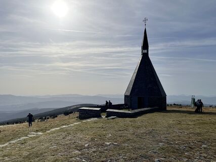
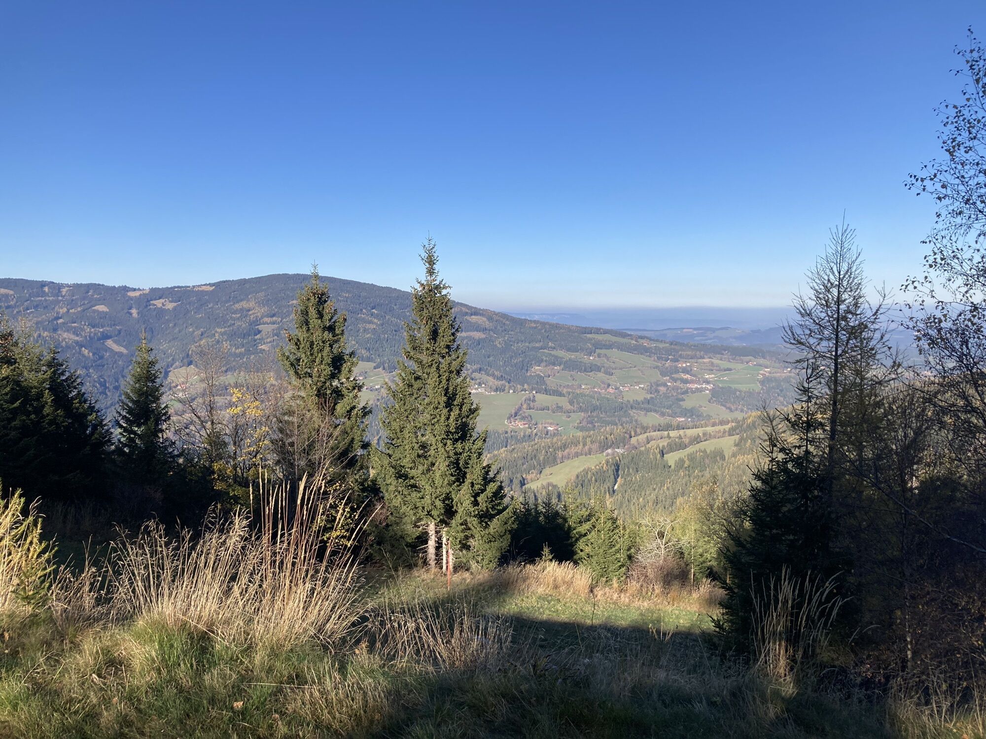
 © Clemens PoteVytvořeno dne 30.10.2022
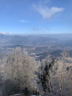 © Daniela SpöttaVytvořeno dne 11.02.2025
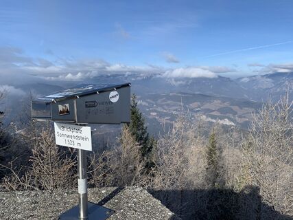 © Daniela SpöttaVytvořeno dne 11.02.2025
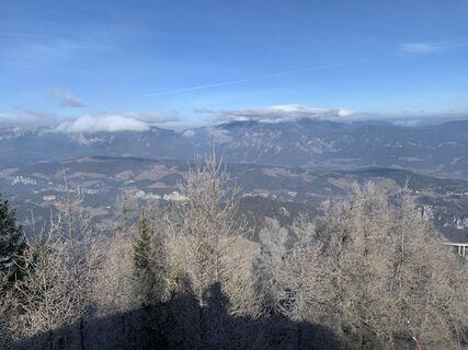 © Daniela SpöttaVytvořeno dne 11.02.2025
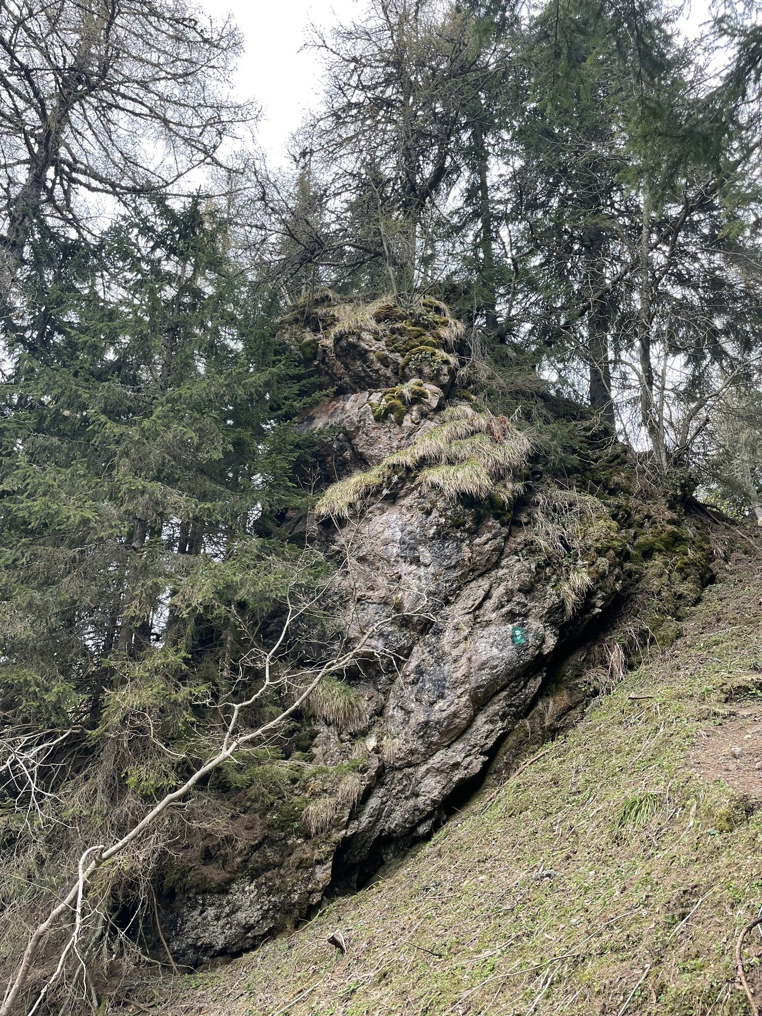
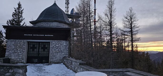
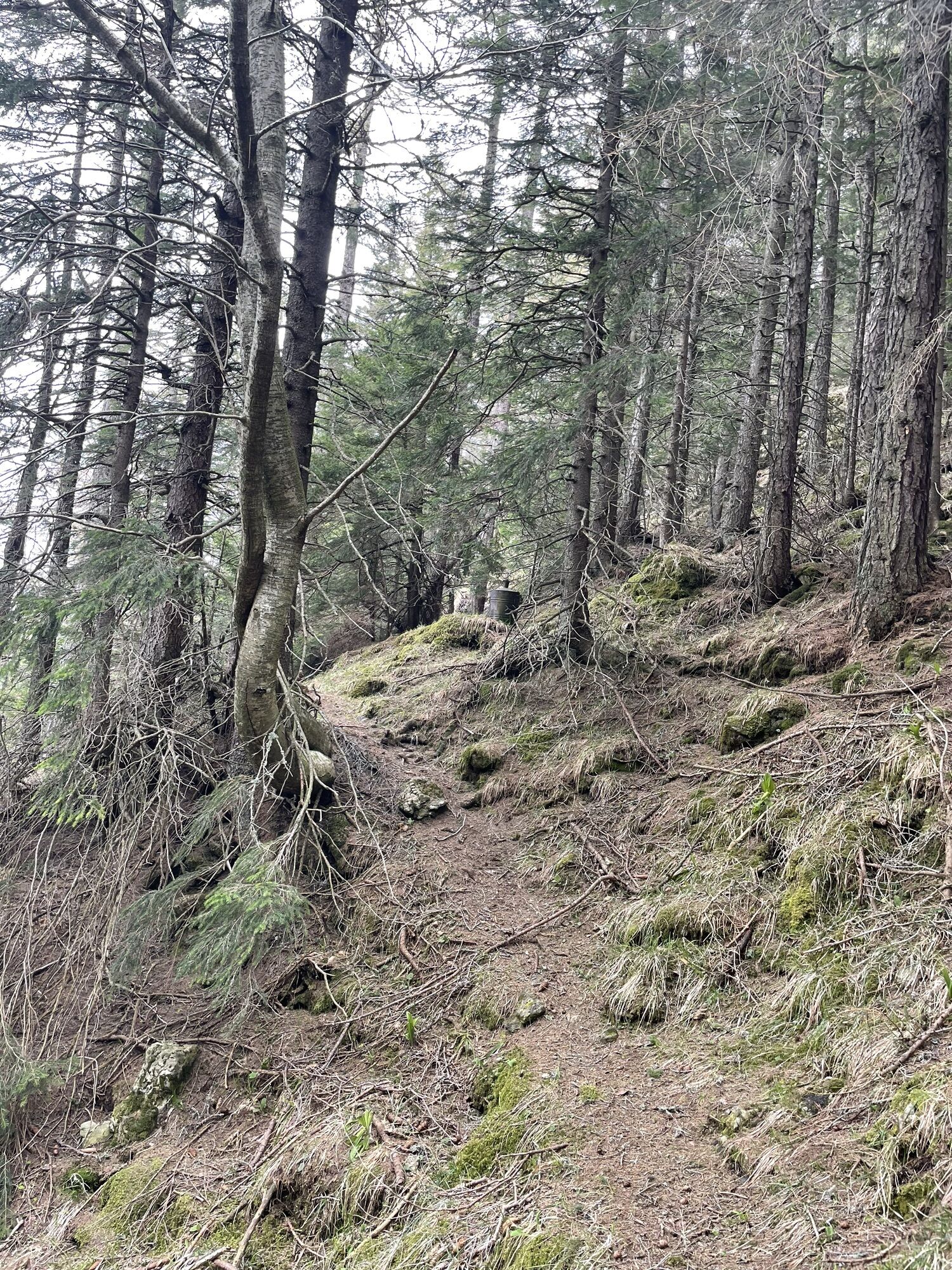
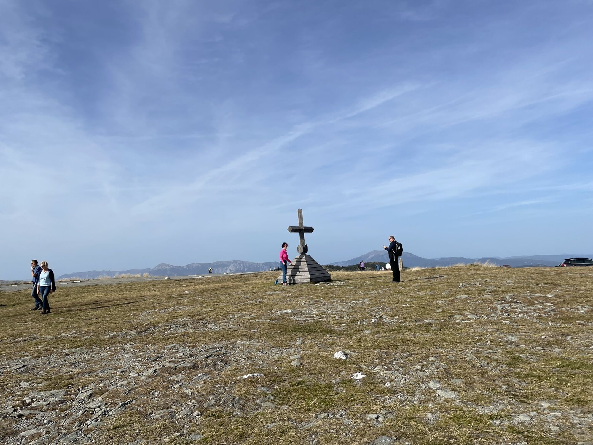
 © Ing. Andreas Rudolf KnausVytvořeno dne 25.01.2025
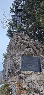 © Ing. Andreas Rudolf KnausVytvořeno dne 25.01.2025
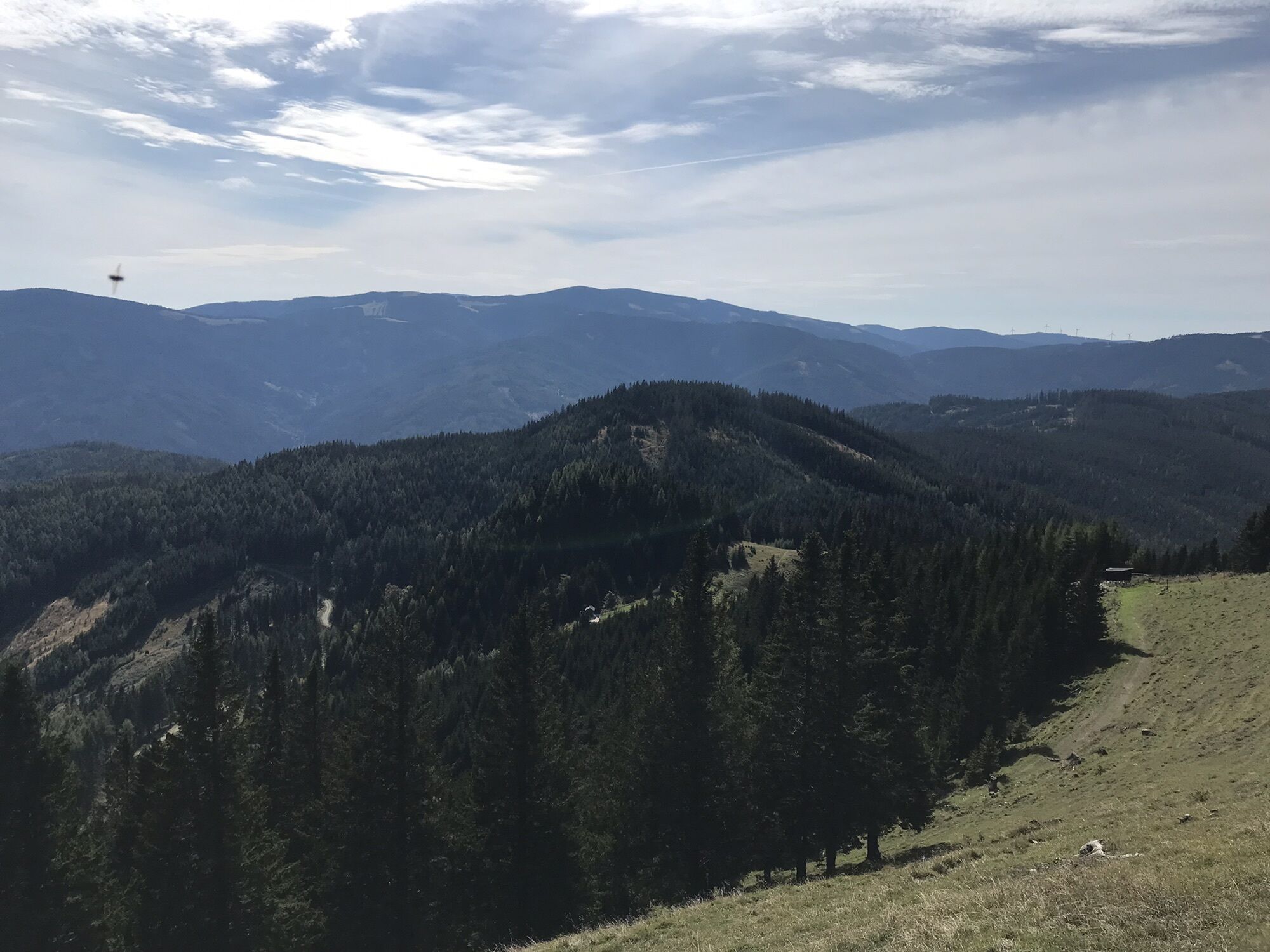
 © Michał MalecVytvořeno dne 01.11.2024
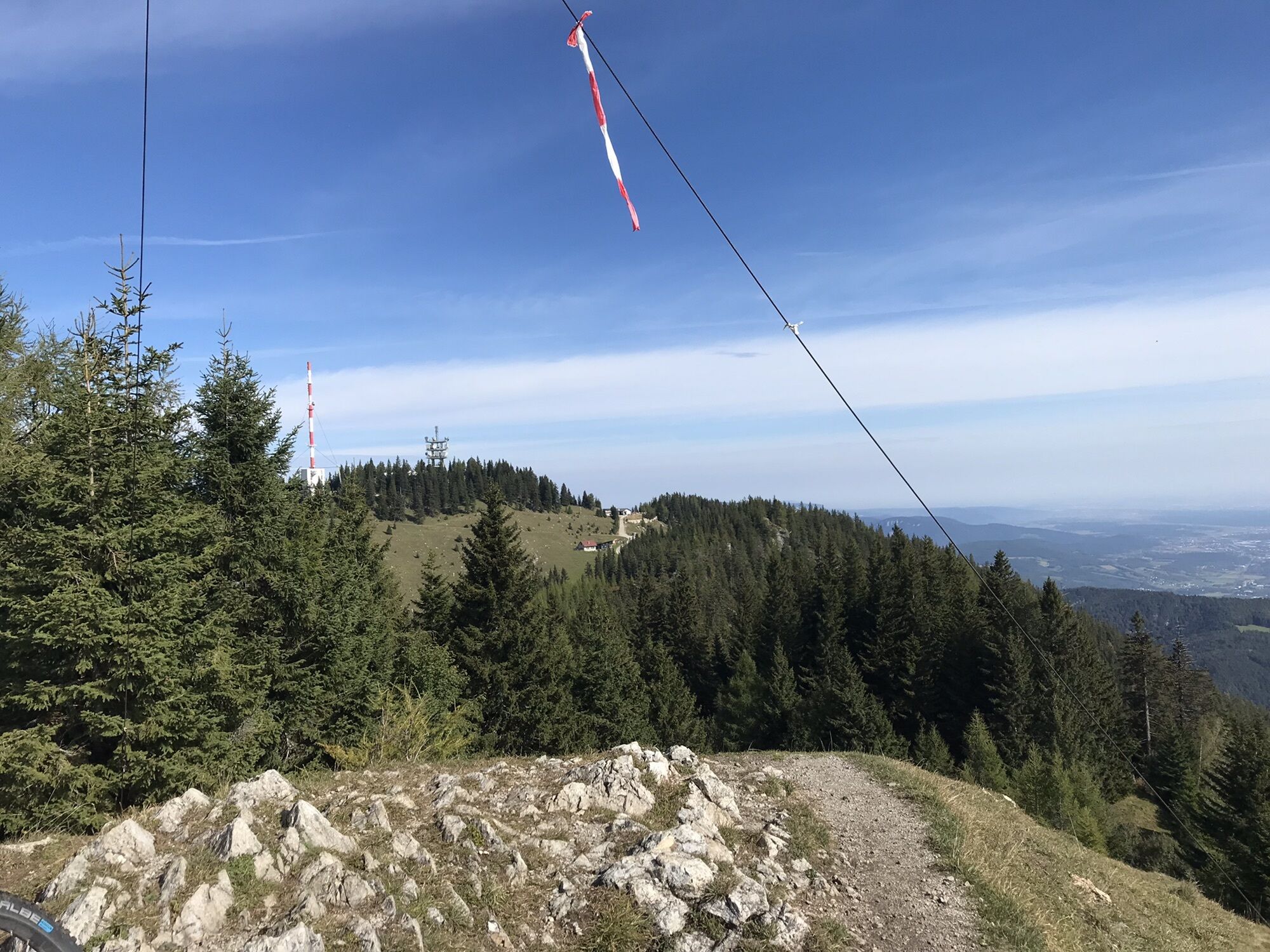
 © Clemens ReschVytvořeno dne 07.09.2024
 © Thomas_HVytvořeno dne 01.05.2024
 © Thomas_HVytvořeno dne 01.05.2024
 © Thomas_HVytvořeno dne 01.05.2024
 © Thomas_HVytvořeno dne 01.05.2024
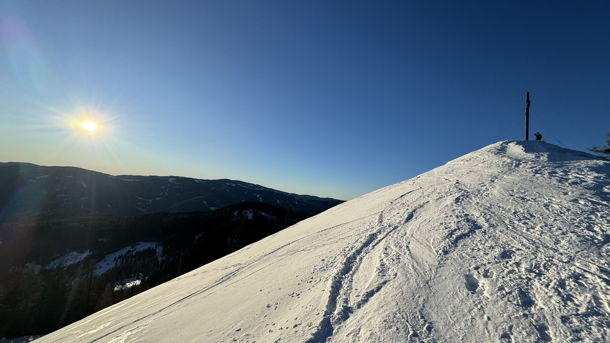
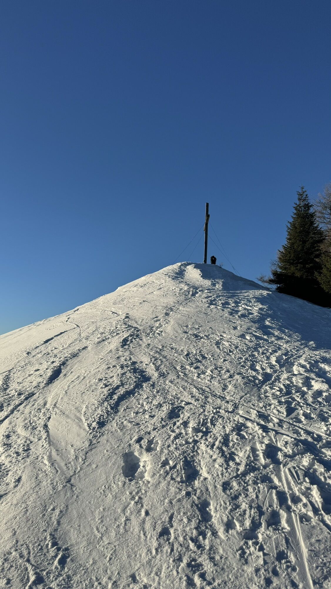
 © Rene KutscheraVytvořeno dne 21.01.2024
 © Rene KutscheraVytvořeno dne 21.01.2024
 © inrulseipulVytvořeno dne 29.09.2023
 © firebird 93Vytvořeno dne 26.06.2023
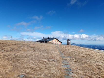
 © Patriz 1Vytvořeno dne 25.02.2023
 © Patriz 1Vytvořeno dne 25.02.2023
 © Patriz 1Vytvořeno dne 25.02.2023
 © Michael FehlmannVytvořeno dne 13.11.2022
 © Michael FehlmannVytvořeno dne 13.11.2022
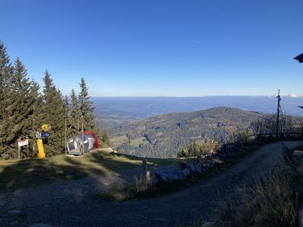 © Michael FehlmannVytvořeno dne 13.11.2022
 © Michael FehlmannVytvořeno dne 13.11.2022
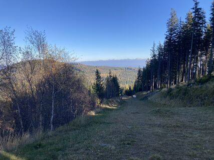 © Michael FehlmannVytvořeno dne 13.11.2022
 © Michael FehlmannVytvořeno dne 13.11.2022
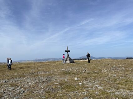 © Clemens PoteVytvořeno dne 30.10.2022
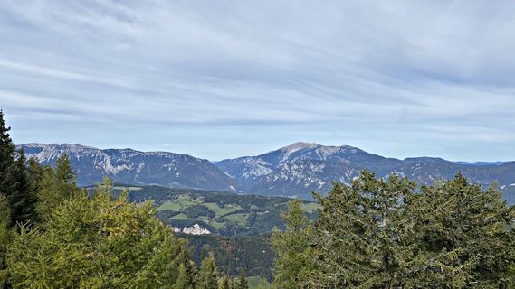
 © Peter HandlerVytvořeno dne 05.10.2022
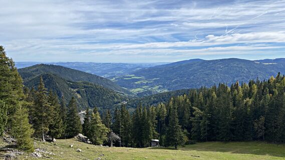 © Peter HandlerVytvořeno dne 05.10.2022
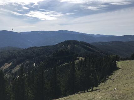
 © Richard PolleresVytvořeno dne 24.09.2022
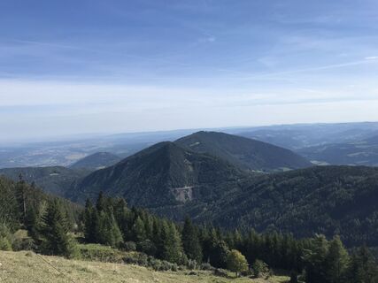 © Richard PolleresVytvořeno dne 24.09.2022
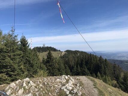 © Richard PolleresVytvořeno dne 24.09.2022


The "alpannonia®" long-distance trail was designed according to the criteria for the leisure hiker.
The entire alpannonia® long-distance trail leads from Semmering (or Fischbach in Styria) to the western...
The "alpannonia®" long-distance trail was designed according to the criteria for the leisure hiker.
The entire alpannonia® long-distance trail leads from Semmering (or Fischbach in Styria) to the western Hungarian town of KÅ‘szeg.
The total length of just under 120 km can be comfortably covered in six daily stages.
Experience points:
Millennium lookout on the Hirschenkogel at Semmering Mountain chapel at the Sonnwendstein Hochwechsel with the Wetterkogel house (hut of the Alpine Club, Gebirgsverein section) Water park with salaërium in Mönichkirchen Hutwisch lookout in the municipality area of Hochneukirchen-Gschaidt
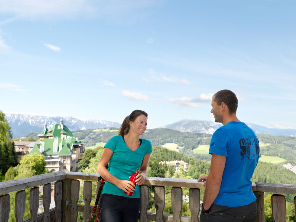

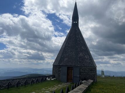
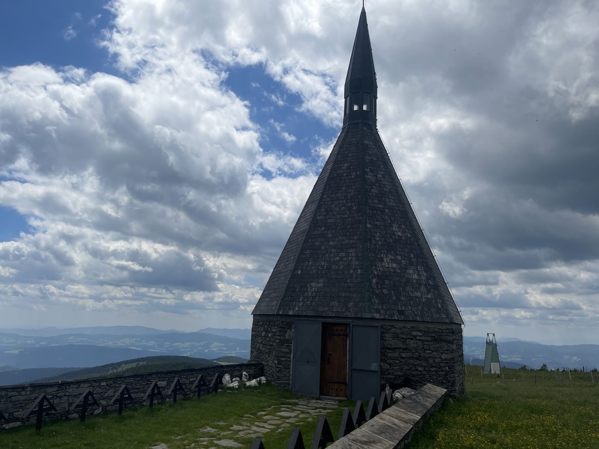
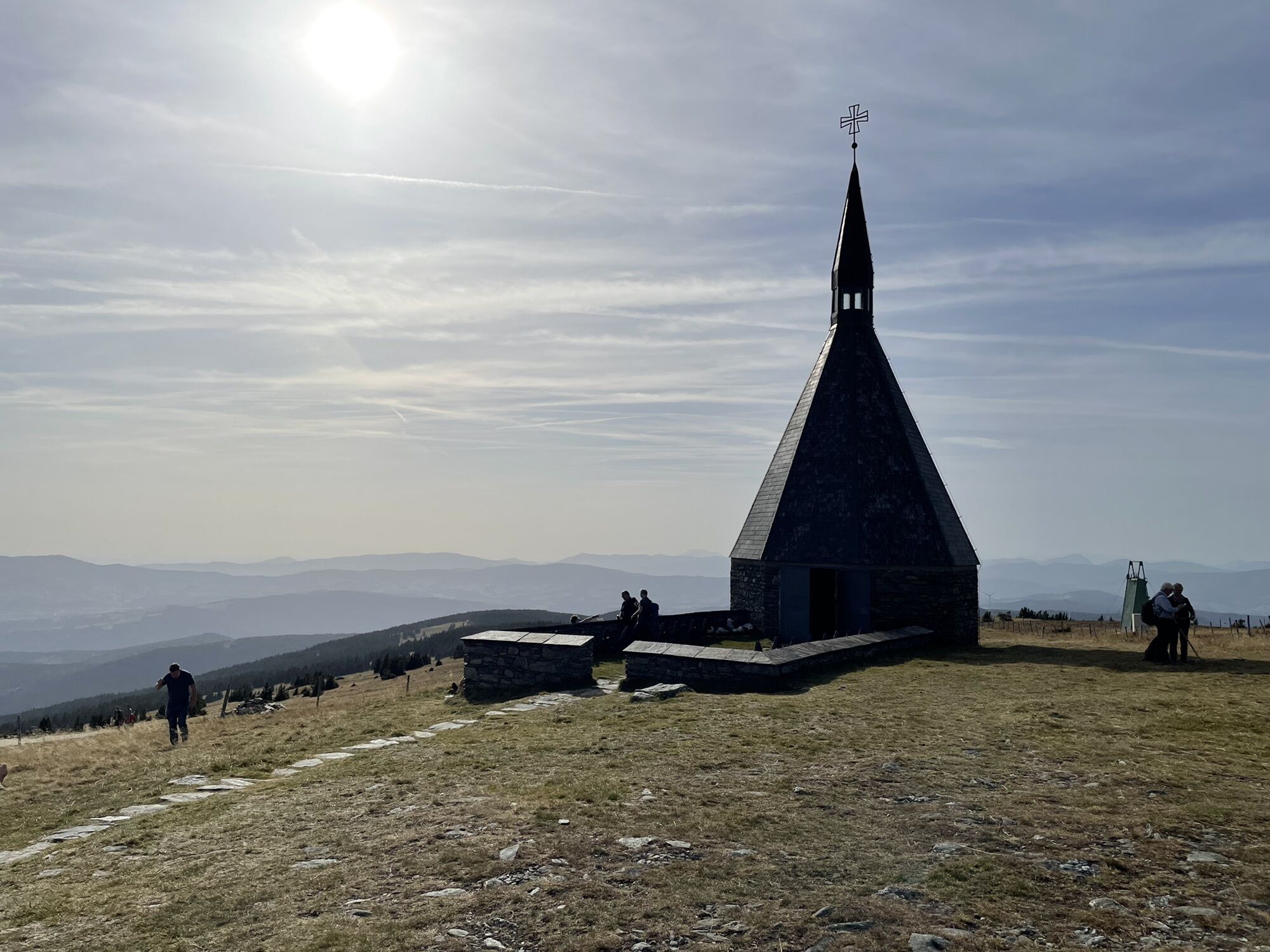
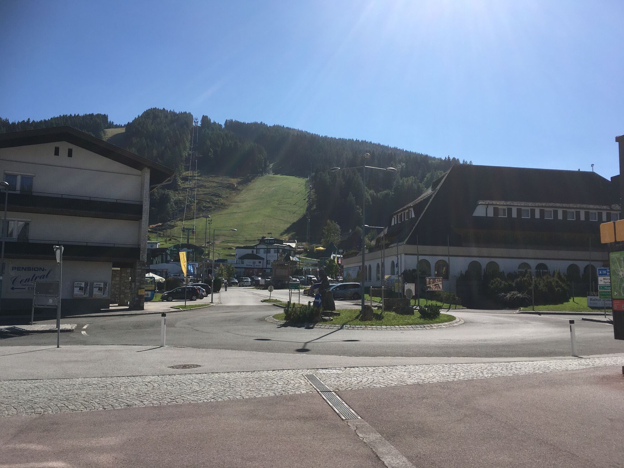
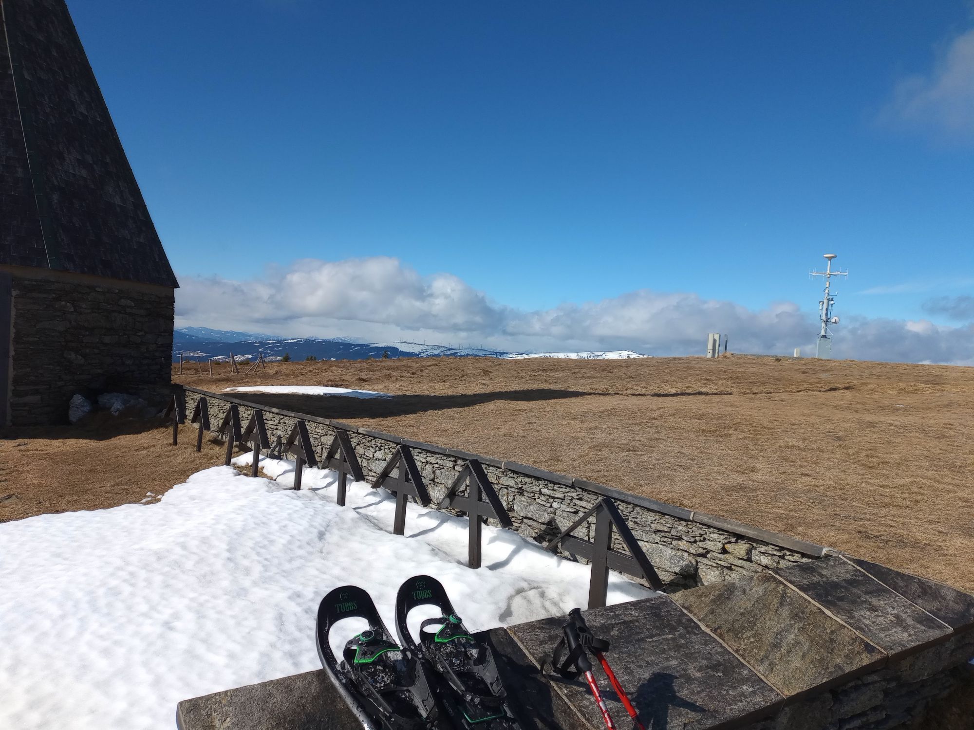
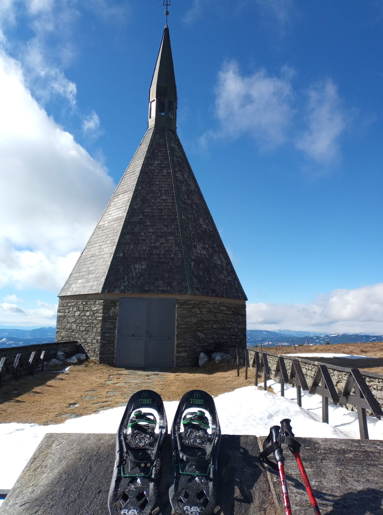
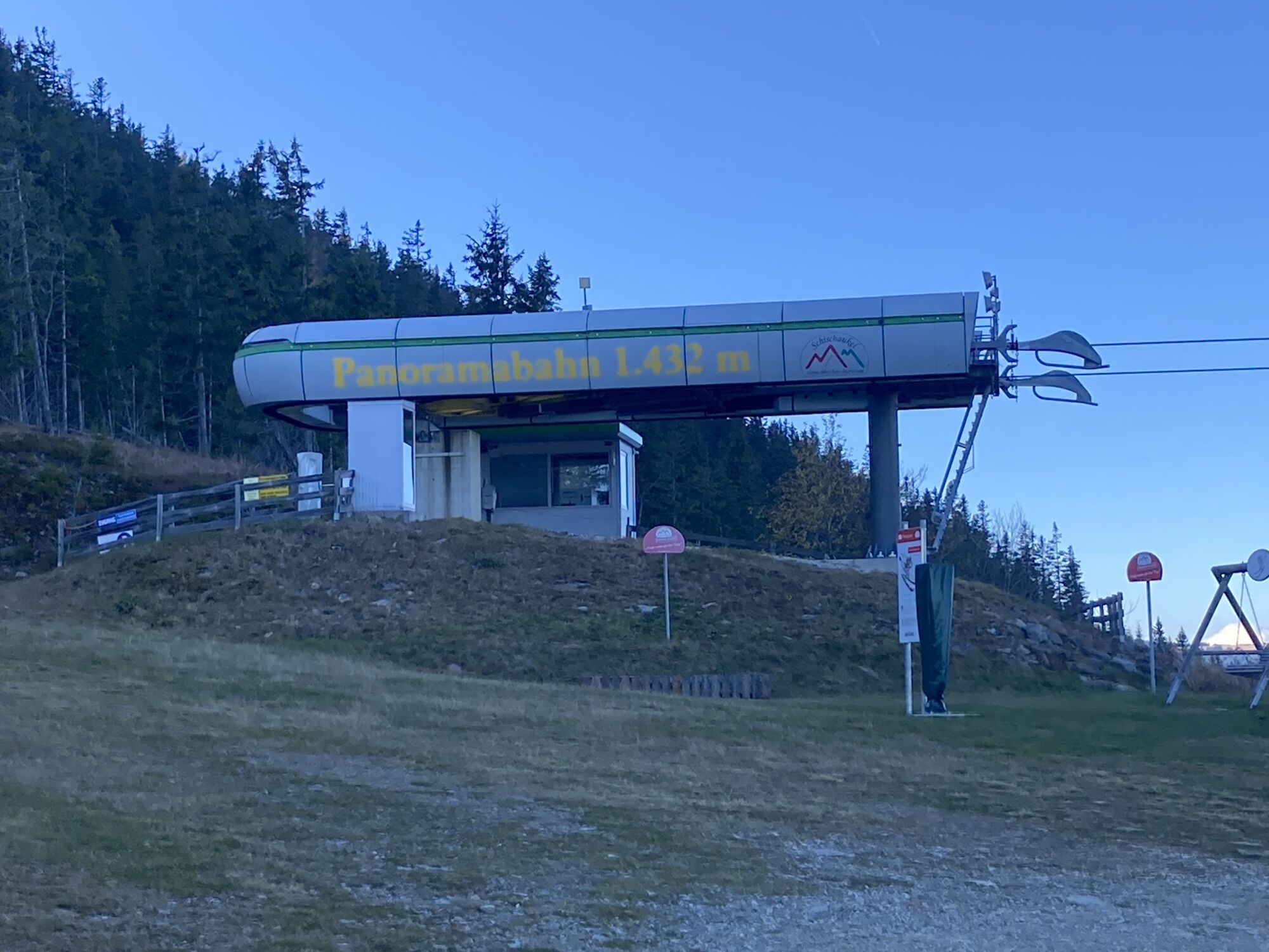
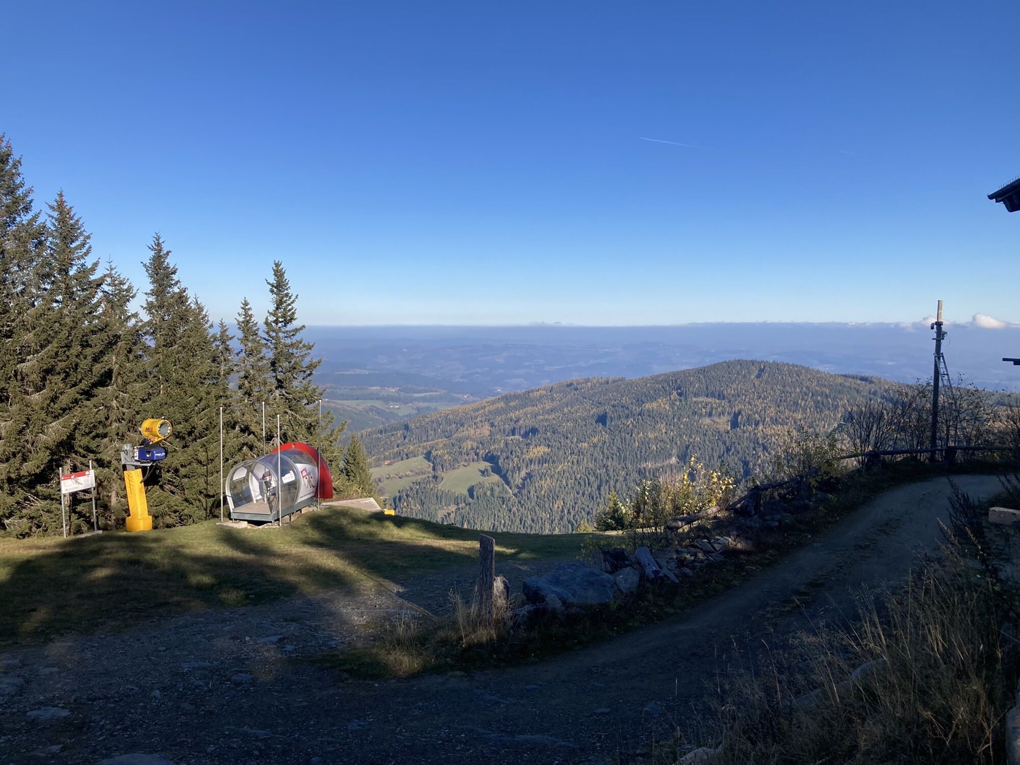
We start at the valley station of the Bergbahn Semmering. The path partly leads us over the ski slope to the Hirschenkogel (1,340 m) to the Liechtenstein house. Now the alpannonia® marking leads us to the Sonnwendstein (1,523 m) with the Polleres hut and the architecturally interesting mountain chapel.
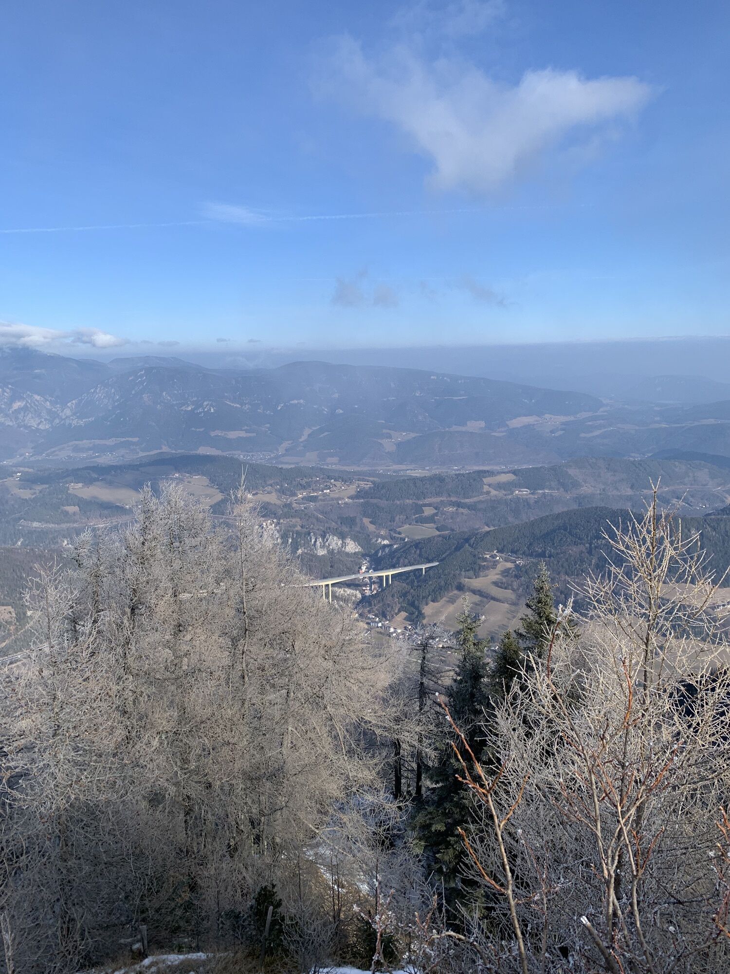
Tip: A delight is the magnificent view of the mountains of the Vienna Alps!
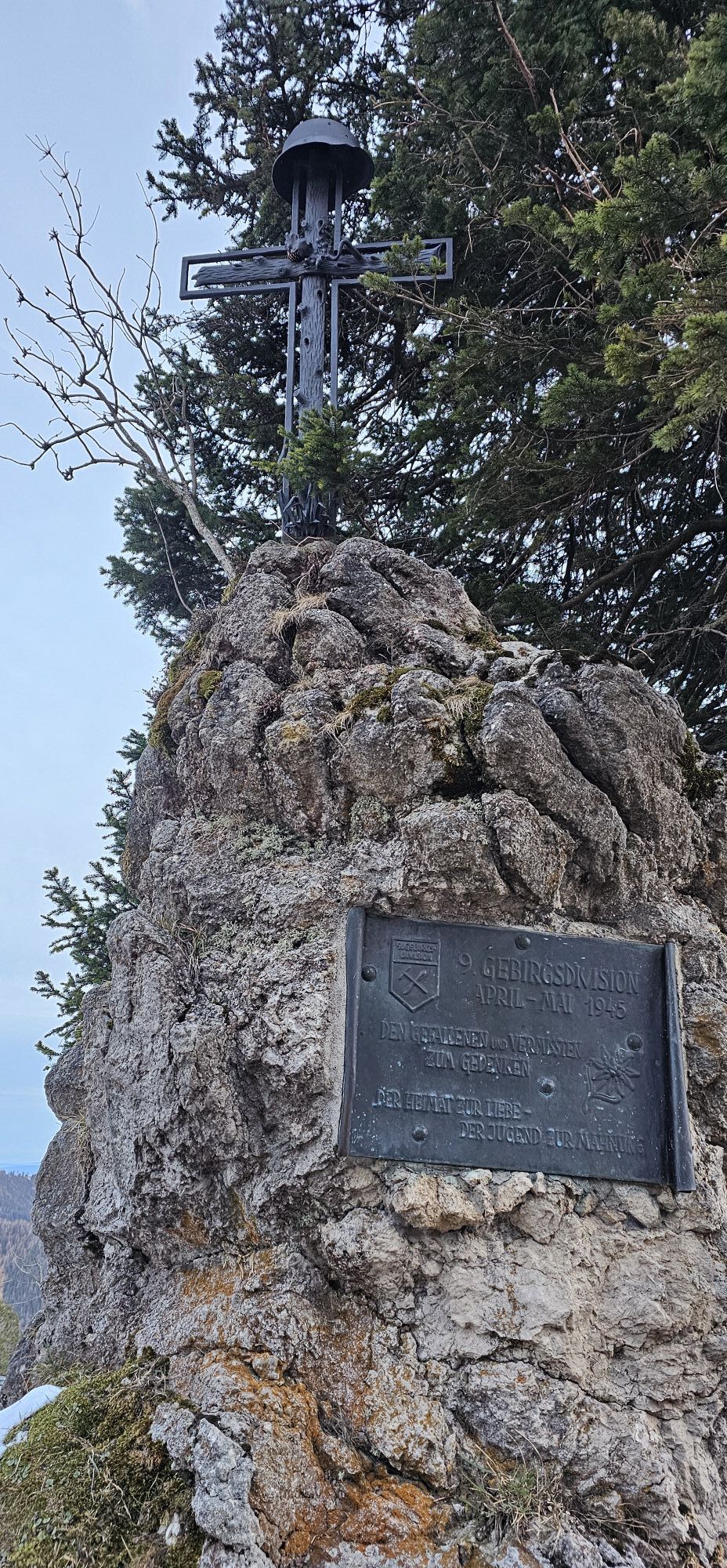
From the Sonnwendstein back, we follow the alpannonia® marking further past the Erzkogel (1,504 m) and the Alpkogel (1,414 m). Along the wine trail or Gebirgsjäger memorial trail, there is information and evidence of the last war actions of the 2nd World War.
It continues to the Feistritzsattel (1,290 m). Here begins the 7 km long regional route to Trattenbach (overnight accommodation possible).
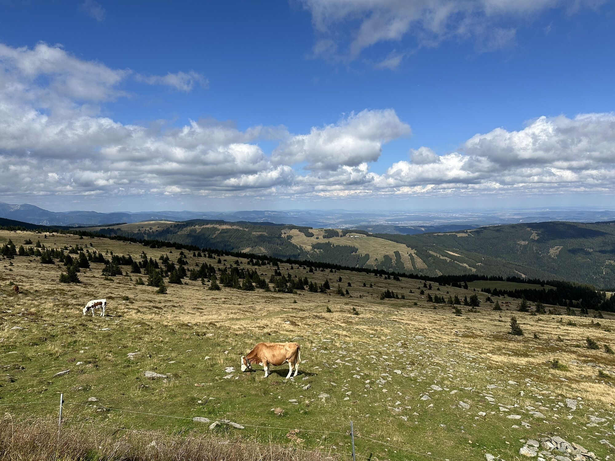
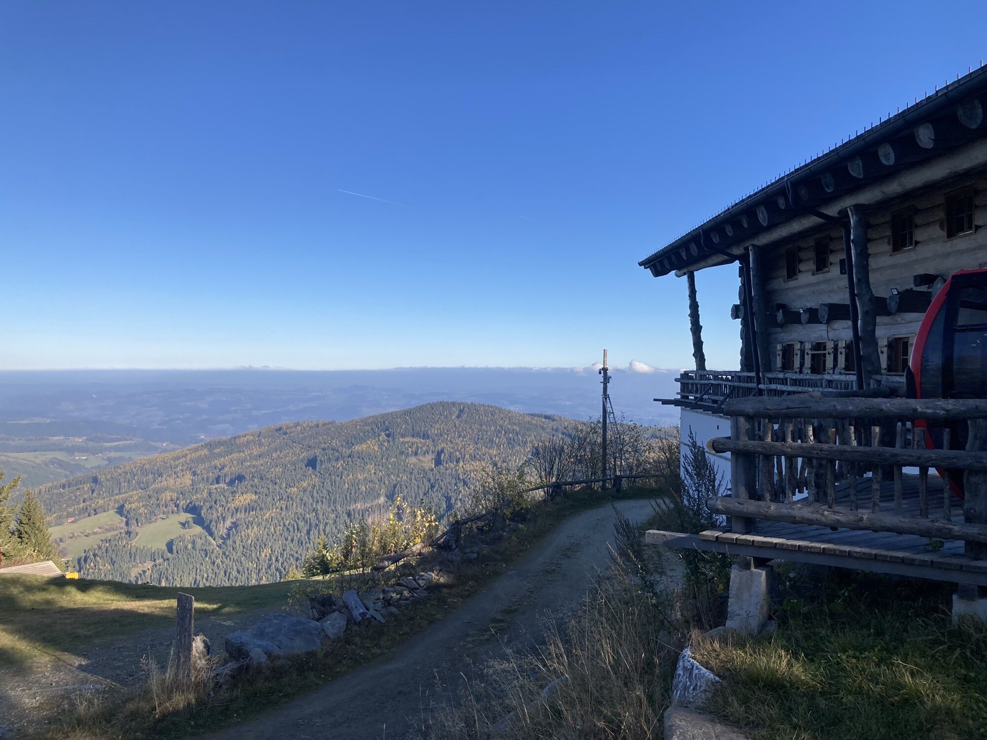
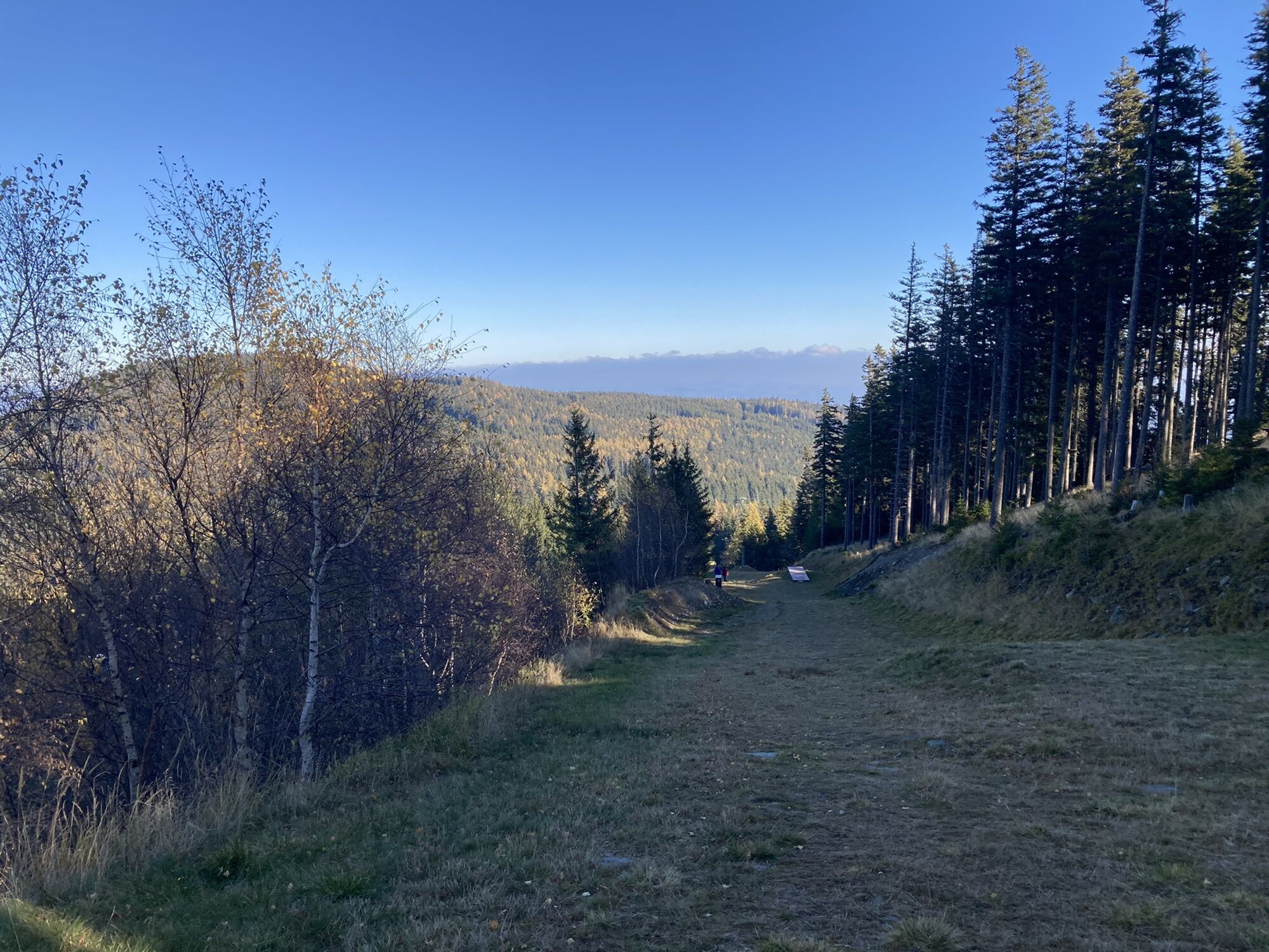
Back on the main trail, the long-distance trail 02 with the alpannonia® marking leads us to Mönichkirchen. Initially a bit steep, the path continues on comfortable forest roads. The beautiful alpine meadows already indicate the Schwaigen landscape of the Wechsel region. Time for rest and relaxation is offered by the Wetterkogelhaus on the Hochwechsel (1,743 m), a hut managed by the Austrian Alpine Club.
Tip: From here, with good visibility, the entire alpannonia® main trail can be overlooked.
From Hochwechsel, it goes over Niederwechsel (1,669 m) and Steinerne Stiege, leading the route to Mönichkirchen, where the second stage ends.
Through the town of Mönichkirchen, the marking leads partly over paved paths but with wonderful views to the small village of Schlag. We continue past Ziegersberg Castle to Pichl and from there through cool, shady forest paths to Hochneukirchen. Without much effort, the very popular excursion destination Hutwisch (896 m) can be reached, whose observation tower offers a wonderful panoramic view over the Alps to Hungary. From here, it is only 6 km on the regional route to the stage destination of Bad Schönau.
Wear suitable clothing and sturdy footwear. Remember rain and sun protection. Bring enough to drink.
Always take suitable maps with you. Put on sturdy shoes suitable for the route, bring sun and rain protection, as well as water and a snack. Take your mobile phone with you and save the mountain rescue emergency number: 140
Please pay attention to the weather report! Especially in the Hochwechsel - Niederwechsel area, strong gusts of wind can occur even in good weather. Weatherproof clothing is an absolute must. It should also be noted that fog can suddenly form in this section.
Make sure when choosing the route that it matches your experience and fitness level. Inform yourself about the weather forecast beforehand. Weather in the mountains can change surprisingly fast. Therefore, always set out properly equipped (e.g. rain protection).
Check whether the huts and snack stations you want to visit are open. Inform someone about your route choice and your planned return before setting off.
Coming on the Südautobahn A2 from Vienna or Graz, turn off at the Seebenstein junction onto the S6 towards Semmering - exit Maria Schutz/Semmering
At the Maria Schutz exit, continue on Semmering Pass Road towards the town of Semmering. At the pass summit roundabout, continue towards the parking lot of the valley station Bergbahn Zau[ber:]g Semmering.
Coming by ÖBB from Vienna, change in Wiener Neustadt towards Payerbach-Reichenau. Change once more there towards Mürzzuschlag.
Coming from Graz, change in Mürzzuschlag: direction Payerbach-Reichenau. Destination station: Semmering.
The valley station of the cable car is reachable within a few minutes' walk from the station.
From the end point of the hike in Hochneukirchen back at Semmering, the ÖBB train connections from Bad Schönau via Wiener Neustadt run at regular intervals.
More information at www.oebb.at and www.vor.at
At the valley station of the Bergbahn Zauber:g Semmering, sufficient parking spaces are available.
Pay attention to and enjoy the views along the route.
Oblíbené prohlídky v okolí
- 4,5
Mariensee - Wildwasserweg - Marienseer Schwaig
světloTuristika8 km - 4,2
Kummerbauerstadl-Erzkogel-Sonnwendstein-Maria Schutz-Kummerbauerstadl
světloTuristika12,2 km - 4,8
Wild Water Path Mariensee
středníTematická stezka6,69 km - 4,5
Schanzkapelle - Kleiner Otter - Mitterotter - Großer Otter - Kummerbauerstadl - von Göstritz Göstritz, Niederösterreich
středníTuristika11,6 km - 3,5
Grosser Otter Runde
světloTuristika11,3 km - 4,8
Hochwechsel-Runde, Waldbach-Mönichwald
středníTuristika17,9 km - 4,7
Hochwechsel und Arabichl ab/bis Mariensee
středníTuristika17,5 km - 4,3
Hochwechsel
středníTuristika14,3 km - 3,8
Bucklige Welt: Burg Grimmenstein und Kulmriegel
světloTuristika10,5 km - 4,4
Schwaigen Runde
středníTuristika8,40 km
Pěší turistika a stopování


Nenechte si ujít nabídky a inspiraci pro vaši příští dovolenou
Vaše e-mailová adresa byl přidán do poštovního seznamu.