







St. Martiner Wirtsleit Genusstour 325

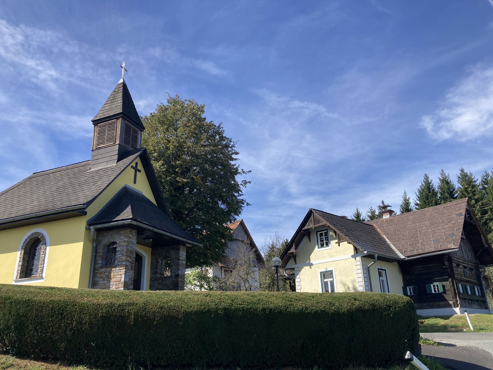
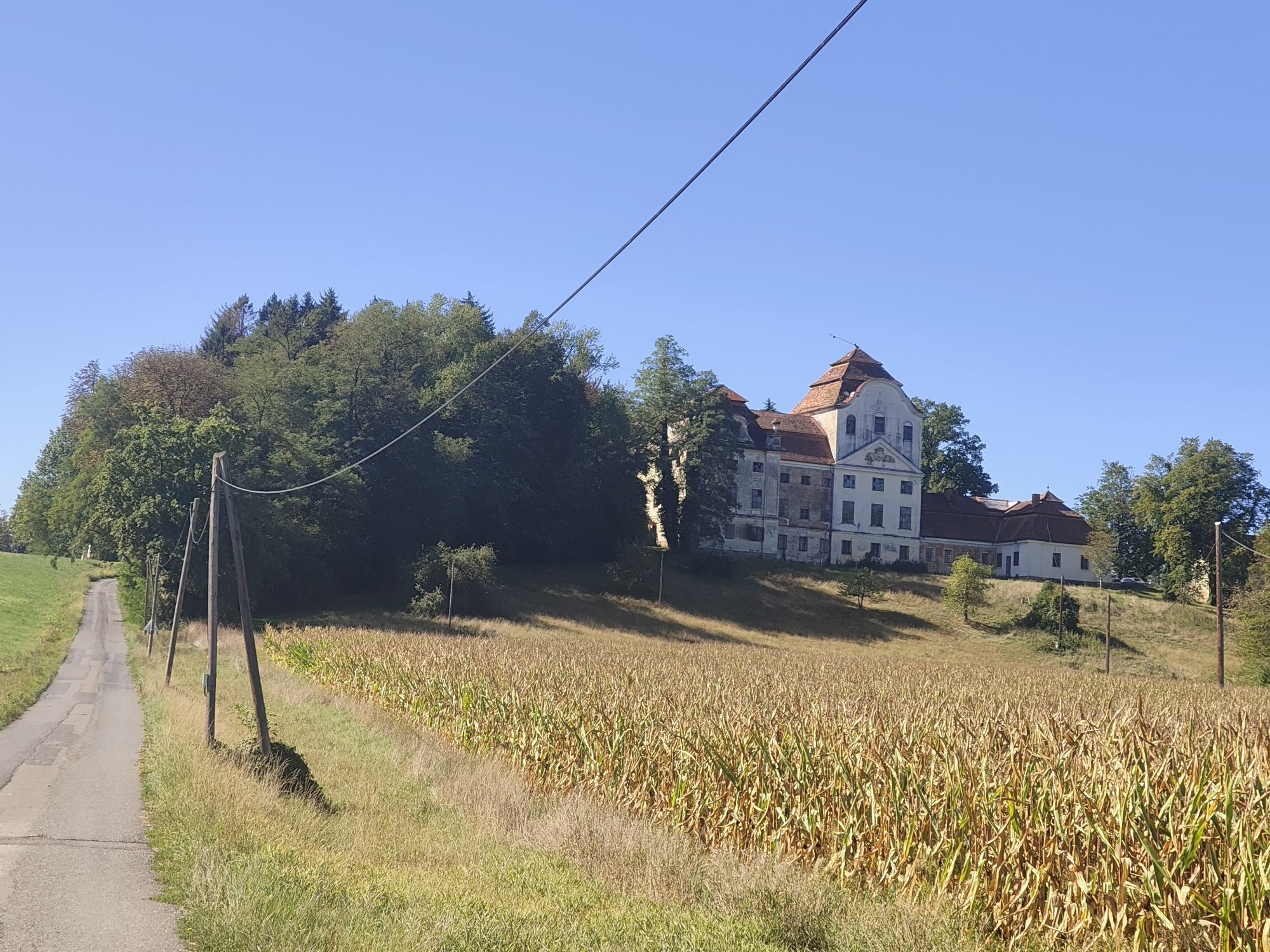
Vom Martinhof starten wir über Dörfla, bis wir zumOrtskern von St. Martin gelangen.
Nach kurzer Ortsdurchfahrt queren wir die SulmtalBundesstraße B74 und fahren weiter nach Reitererberg. Wir drehen unsere...
Vom Martinhof starten wir über Dörfla, bis wir zumOrtskern von St. Martin gelangen.
Nach kurzer Ortsdurchfahrt queren wir die SulmtalBundesstraße B74 und fahren weiter nach Reitererberg. Wir drehen unsere Rundezurück nach Hart und gemütlich weiter nach Dietmannsdorf. Es folgt ein kleinerAnstieg, der uns aber mit der Natur der malerisch grünen Oase von St. Ulrich imGreith belohnt.
Zurück geht es über Brunn, vorbei am „Kipferlbad“, einemwunderschönen Naturbadeteich, zum Ausgangspunkt Martinhof.

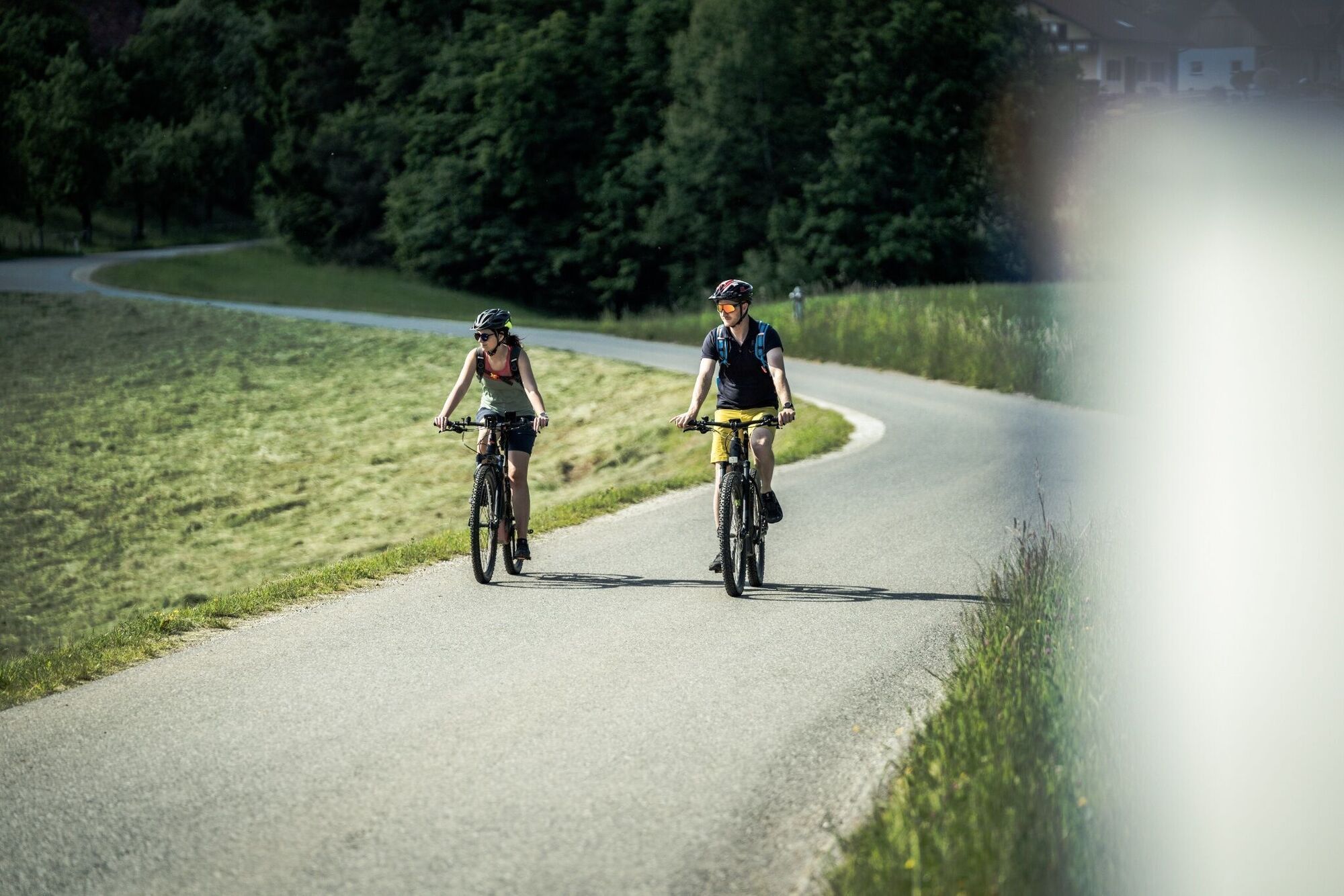
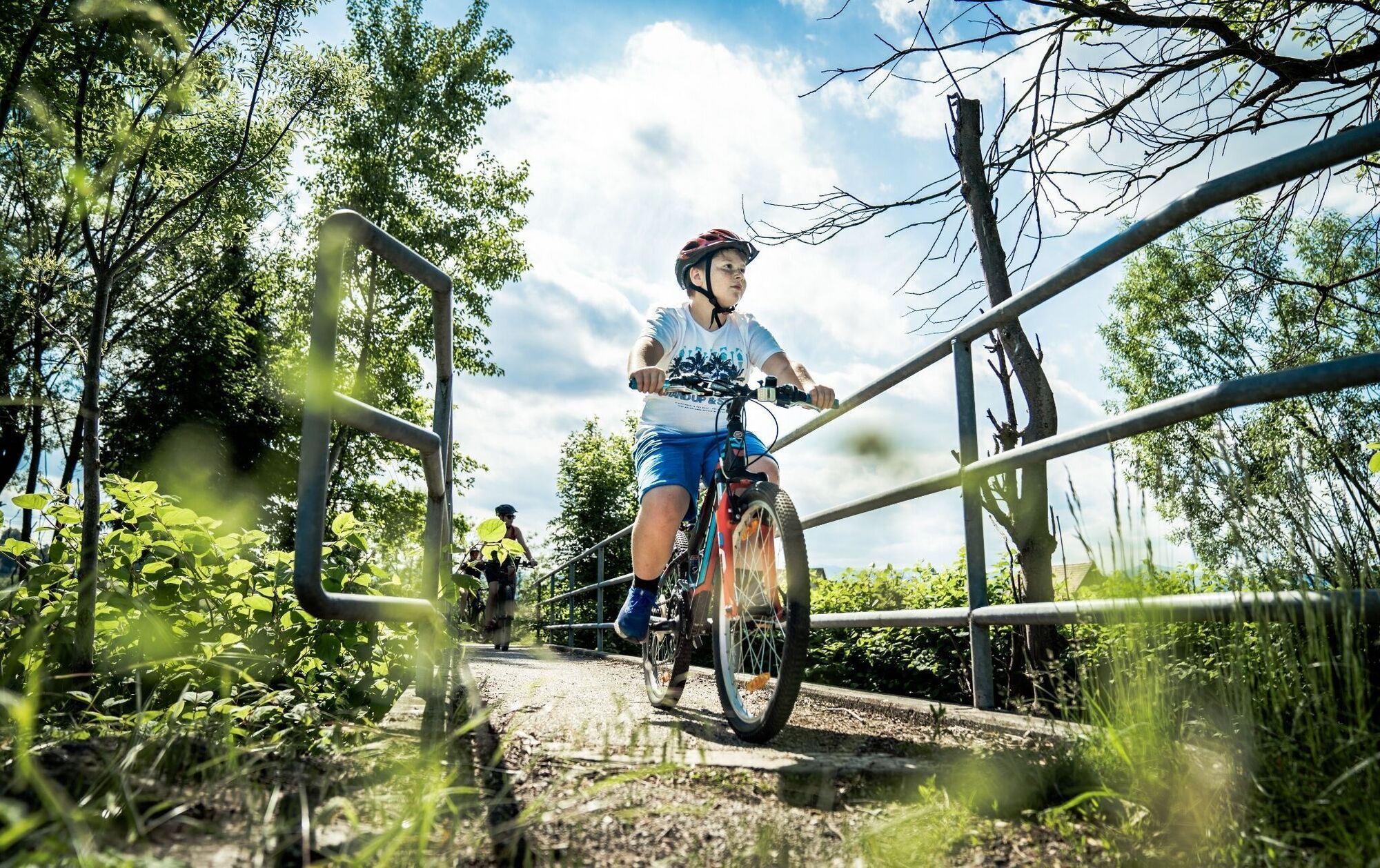

Radhelm, Fahrradcomputer (bei E-Bikes),GPS-Gerät oder Kartenmaterial, Trinkflasche, kleiner Rucksack.
Bitte beachten Sie Ihre persönlicheKonditionen, Wettervorhersage und die aktuellen Öffnungszeiten der Einkehrmöglichkeiten.
Für dieRichtigkeit der Angaben kann keine Haftung übernommen werden.
Ein paar Tipps zum richtigen und fairenVerhalten:
Radfahrenund Mountainbiken im Wald (oesterreich.gv.at)
Notruf Rettung beim Radfahren: 144
Abfahrt Lieboch nehmen und entlang der B76 Richtung Lannach-Deutschlandsberg-St. Martin.
Der nächste Bahnhof ist in St. Martin im Sulmtal-Bergla
Allgemeine Auskunft über die öffentlichen Verkehrsmittel in der Region: Fahrplan -GKB
Busverbindung: Fahrplan -GKB
WeinmobilSüdsteiermark +43 (3454) 94127
Parkplätze sind beim Ausgangspunkt Gasthof Martinhof oder am Bahnhof St. Martin im Sulmtal-Bergla vorhanden.
Tourismusbüro BadSchwanberg, Tel.: +43 (5) 7730 610, 8541 Bad Schwanberg, Hauptplatz 1
Tourismusverband Südsteiermark, Tel.: +43 (5) 7730, 8530 Deutschlandsberg,Hauptplatz 40
www.suedsteiermark.com
Der Naturbadeteich Kipferlbad bettet sich harmonisch in die Aulandschaft an der Weißen Sulm, bietet Spiel, Spaß und Sport für die ganze Familie.


Oblíbené prohlídky v okolí
- 4,7
Das große Abenteuer am Demmerkogel
světloTuristika 3,33 km - 4,6
Laßnitztalweg – Wanderung "Klause" Deutschlandsberg
heavyTuristika 10,2 km - 4,4
Weg der Sinne Nr. 16
středníTematická stezka 9,23 km - 4,6
Altenbachklamm Rundweg
středníTuristika 5,69 km - 4,5
St. Josef Rundwanderweg - 9 km Variante
světloTuristika 9,50 km - 4,8
Ruhri Panoramaweg nach Wolfgangi Nr. 13, 506
heavyTuristika 10,3 km - 4,3
Kitzecker Weinwanderweg K8
středníTematická stezka 9,83 km - 4,2
Kreuzkogelaussichtswarte Rundweg mit Hund
světloTuristika 6,47 km - 4,7
Weinstraßen Genusstour
středníMountainbike 42,5 km - 4,6
Remschniggalm, Nr. 116
středníMountainbike 45,4 km
Pěší turistika a stopování


Nenechte si ujít nabídky a inspiraci pro vaši příští dovolenou
Vaše e-mailová adresa byl přidán do poštovního seznamu.





