


HOHE TAUERN PANORAMA TRAIL | Stage 11: Thumersbach high-altitude promenade| Zell am See – Bruck an der Großglocknerstraße


Fotografie našich uživatelů
-
 © Hubert SellnarVytvořeno dne 01.12.2022
 -
 © Matej Mikus 1Vytvořeno dne 12.10.2022
 -
 © Susanne Johansson PantzareVytvořeno dne 17.06.2024
 -
 © Susanne Johansson PantzareVytvořeno dne 17.06.2024
 -
 © Susanne Johansson PantzareVytvořeno dne 17.06.2024
 -
 © Susanne Johansson PantzareVytvořeno dne 17.06.2024
 -
 © Susanne Johansson PantzareVytvořeno dne 17.06.2024
 -

 © Maja GriffithVytvořeno dne 15.07.2023
 -
 © Daniela DamianVytvořeno dne 10.07.2023
 -
 © Hubert SellnarVytvořeno dne 01.12.2022
 -
 © Hubert SellnarVytvořeno dne 01.12.2022
 -
 © Hubert SellnarVytvořeno dne 01.12.2022
 -
 © Matej Mikus 1Vytvořeno dne 12.10.2022
 -
 © Matej Mikus 1Vytvořeno dne 12.10.2022


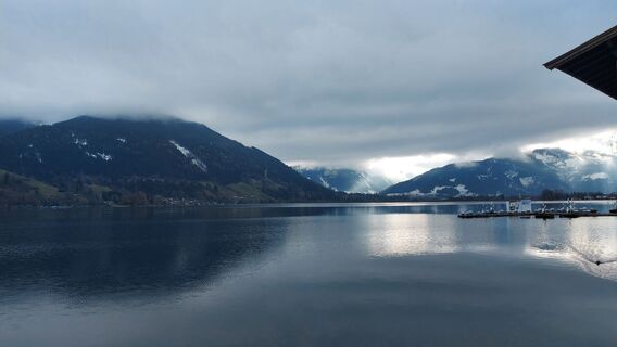
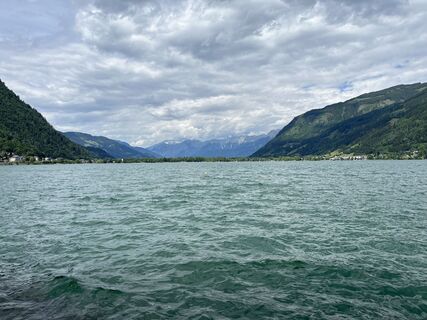
The eleventh day along the Hohe Tauern Panorama Trail is all about relaxing and recharging your batteries for the remaining route. It‘s not even twelve kilometres from Zell am See to Bruck: Much of the...
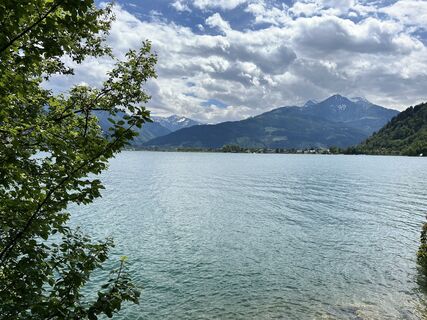
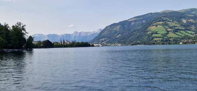
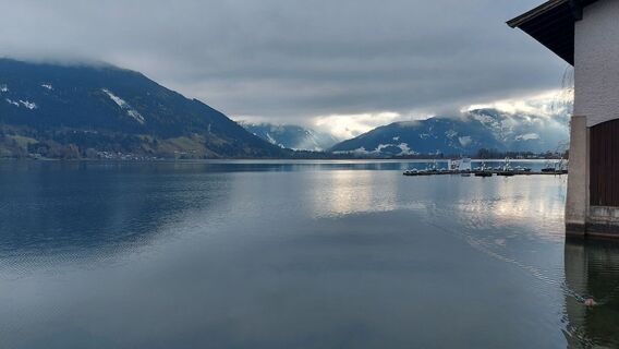
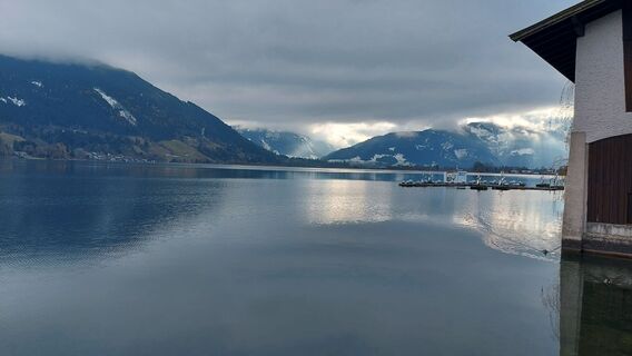
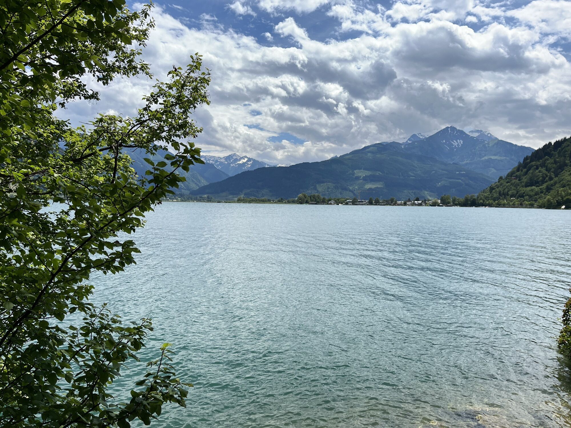
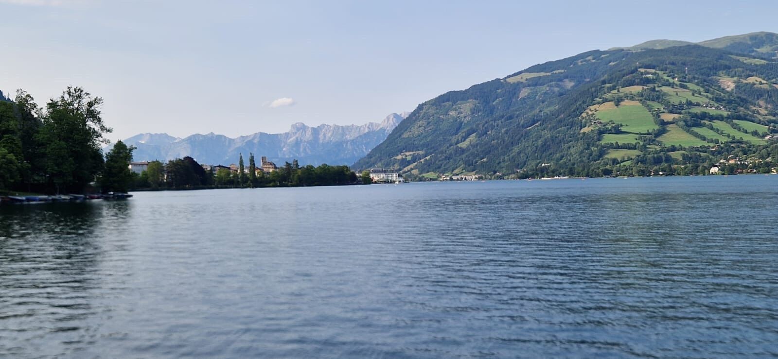
The eleventh day along the Hohe Tauern Panorama Trail is all about relaxing and recharging your batteries for the remaining route. It‘s not even twelve kilometres from Zell am See to Bruck: Much of the route takes you along Lake Zeller See and across the Thumersbacher Höhenpromenade high-altitude promenade with the entertaining „guestbook“ themed trail. This stage is ideal if you fancy a restful lie-in and spending half a day at the lake, in Zell am See or in Bruck an der Großglocknerstraße.
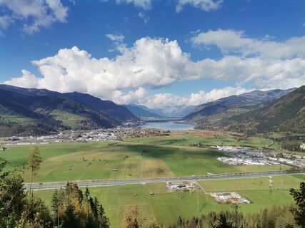
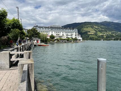
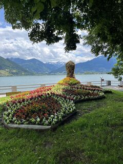
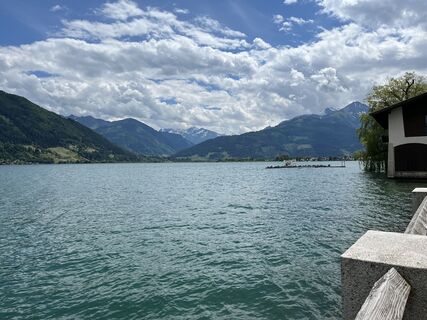
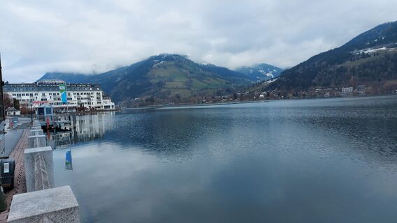
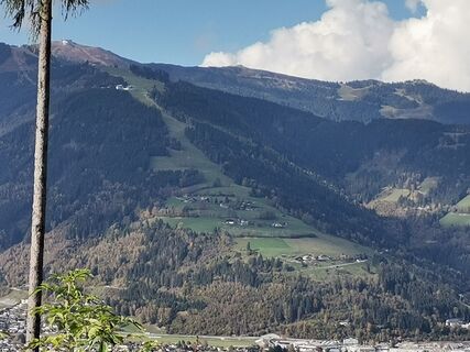
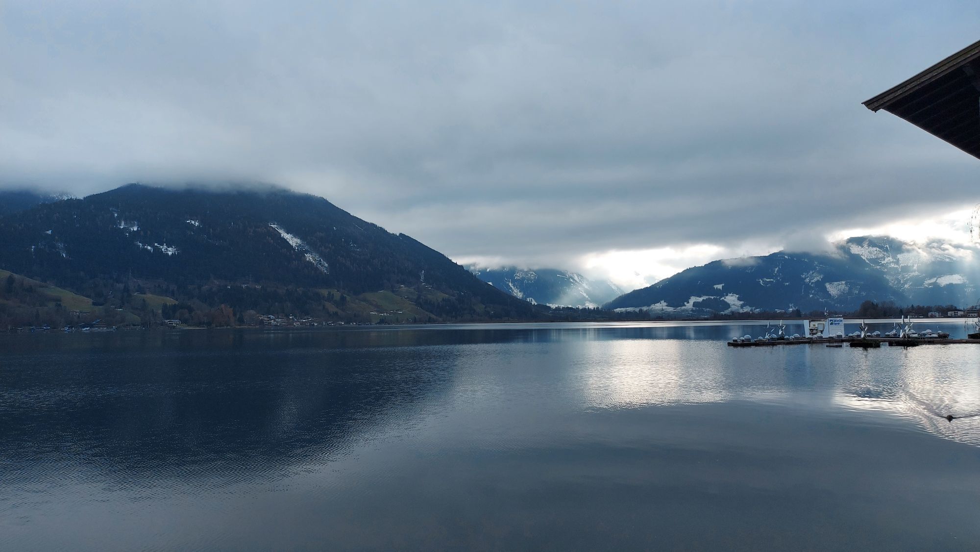
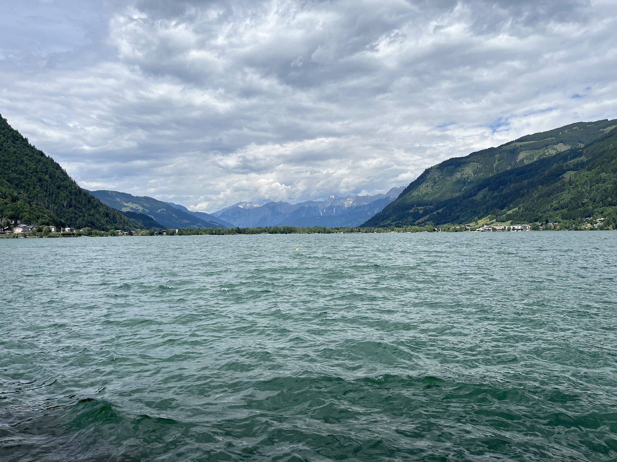
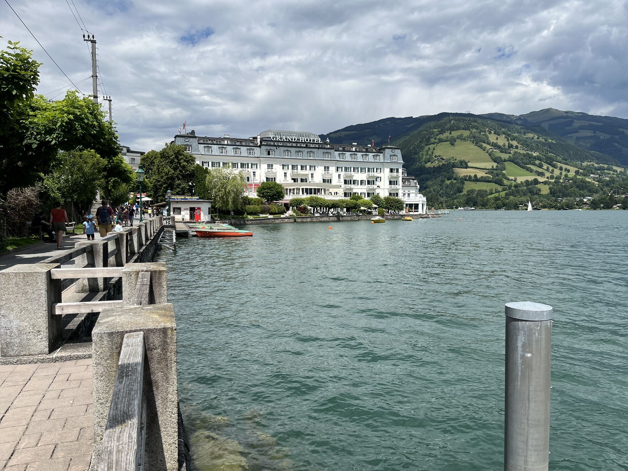
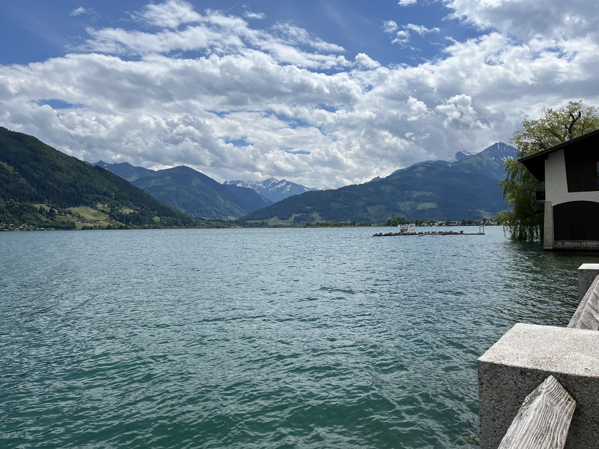
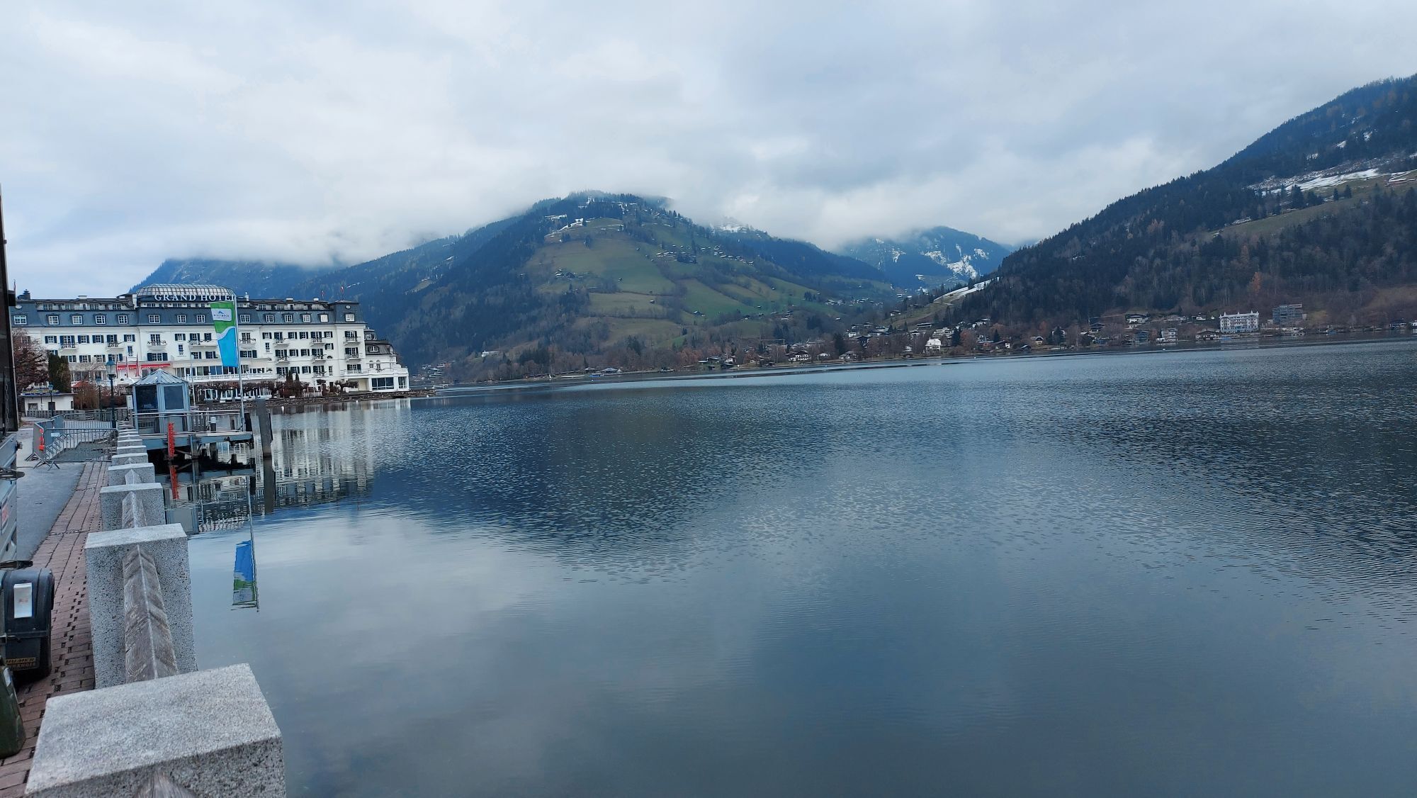
The starting point for the stage is the start/finish sign of the Hohe Tauern Panorama Trail in Zell am See – in the Elisabeth Park opposite the train station, to be precise. First you take the same route as the day before along the shore of Lake Zeller See northwards through the Elisabeth Park to the famous Grand Hotel with its Hundertwasser fountain. You walk past the hotel and you continue north along the shore on small asphalt roads, until the road turns into a very nice gravel path at See-Villa Freiberg. You follow this path along the shore until it ends on the northern shore of Lake Zeller See (near the hospital), where you turn left into an asphalt road. You then continue in the same direction (right) until you reach Thumersbach directly opposite Zell am See. In Thumersbach you should take a little detour down to the shore, as from there onwards you will no longer walk along the shore of the lake; here you will also find plenty of opportunities for refreshment.
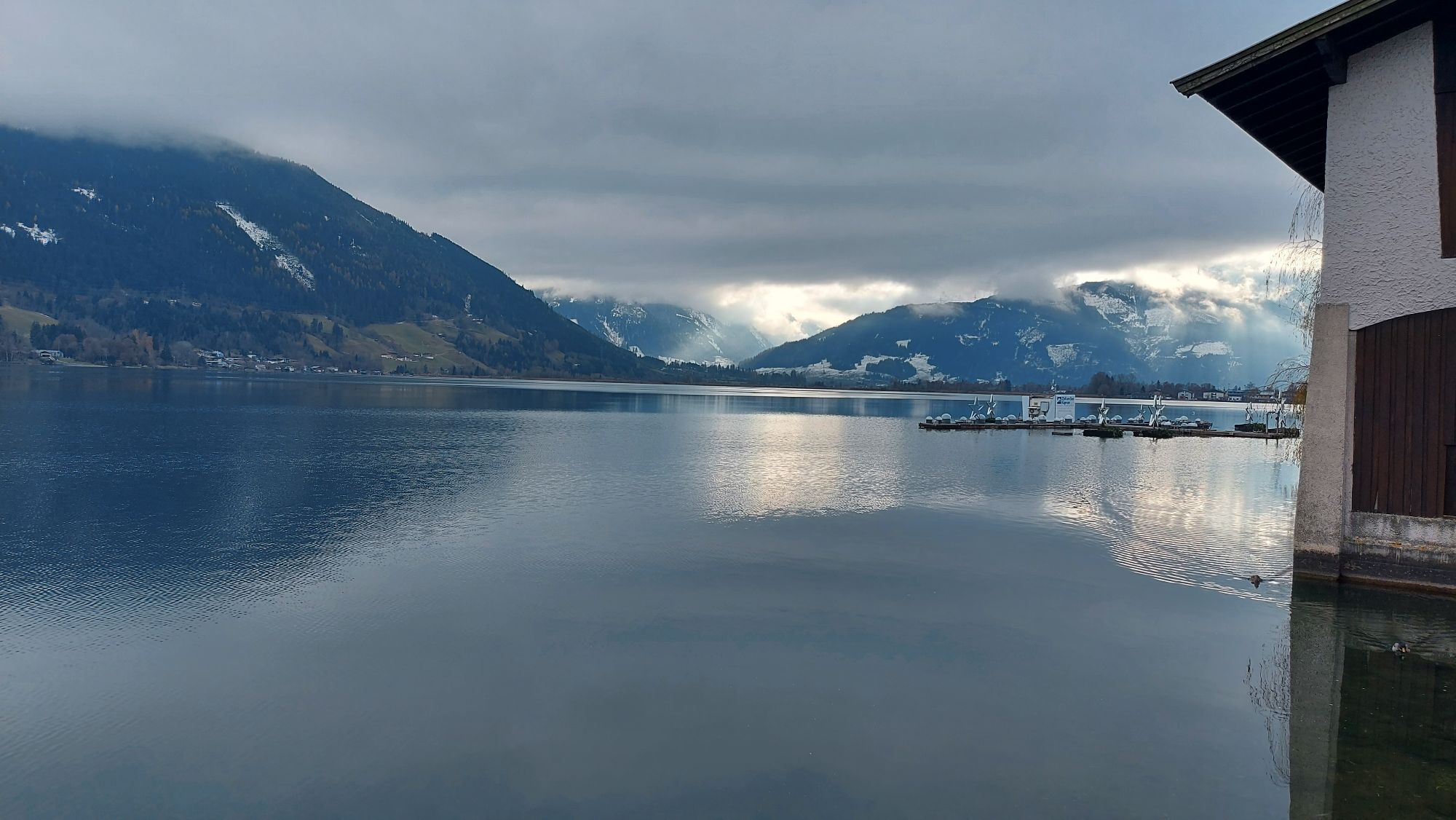
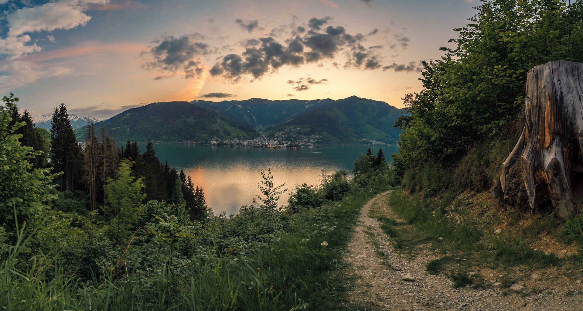
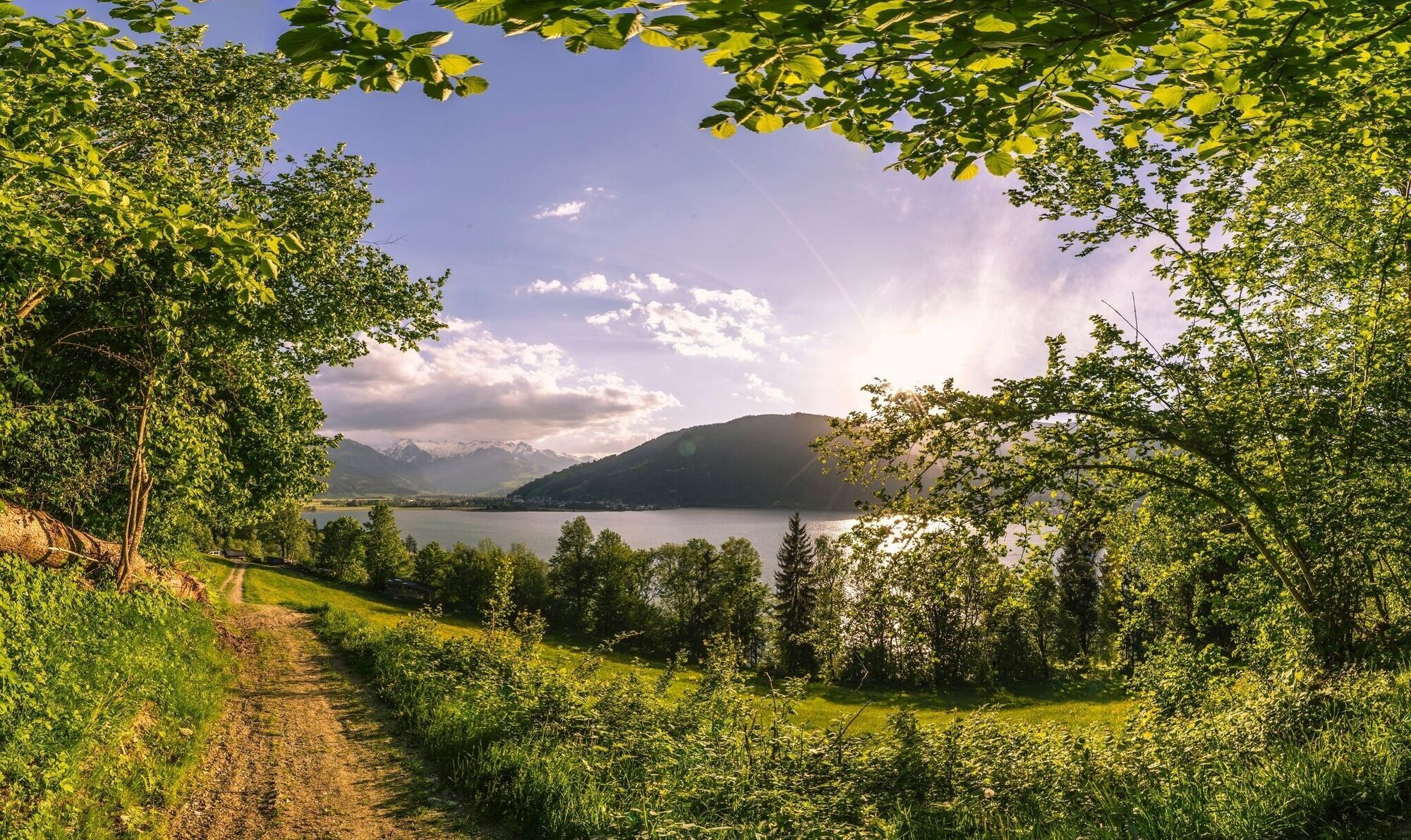
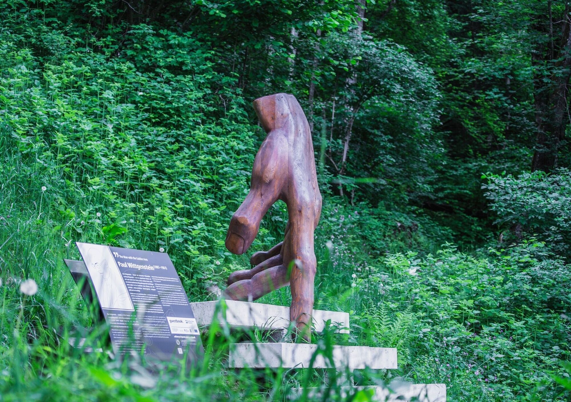
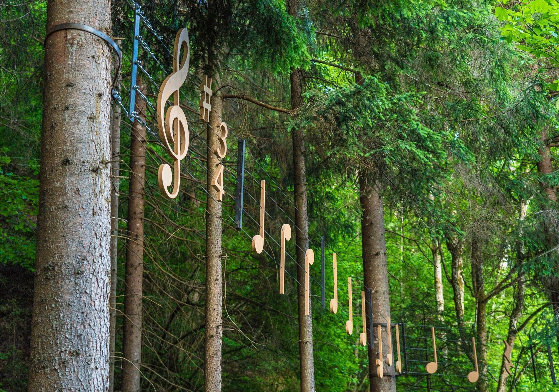
If you do not walk down to the lake, you instead turn left into Talstraße in Thumersbach and follow this road until just before the fire station, where you turn right towards "Enzianhütte lodge/high-altitude promenade". After a left turn, a footpath branches off to the right in the direction of Erlhof. This is where the "Thumersbacher Höhenpromenade" themed trail starts. The beautiful trail takes you through the forest above Lake Zeller See, past several sculptures and stations with information about famous personalities. When you reach a fork in the road, take the right-hand path in the direction of Erlhof; you reach an asphalt road at Grafleiten, which takes you down a wide road. You then turn left onto the road and follow it for a few minutes until you turn right into Seerundweg between Badeplatz Haus Gabi and a football pitch. This stunning path takes you through the reed belt of Lake Zeller See to a bridge. You cross the bridge and take a sharp left turn into Rösslpromenade, which takes you to the Porsche Reithalle riding hall. Here you turn left onto a path that takes you through a beautiful avenue to the Wiesen-Königreich vantage point. It is worth mentioning here that this section is part of the Wiesen-Königreich, a wetland area on the shores of Lake Zeller See, and the nature discovery trail, which was created in 2015, points out special features of this nature reserve.
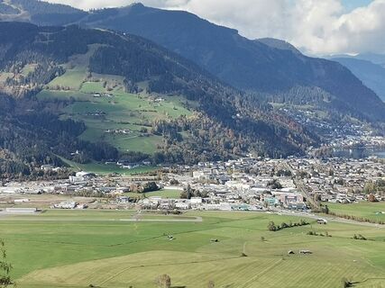
After the vantage point, you turn left onto the path that leads to Thumersbacher Straße, from which you turn right (Tauernradweg signposts). Immediately afterwards, at the Autohaus Trauner car dealership, a right-left turn takes you to an underpass leading to the other side of the main road. Here you continue along the Tauern cycle path past the Shiloh Ranch to a crossroads and you continue along the path diagonally to the right (do not go through the underpass), which takes you along the railway line, past the sports field and to a footbridge, the "Stefan Schwaiger Steg". You cross the bridge and then turn left into a small road that takes you to the village square of Bruck an der Großglocknerstraße. The village square, where you will also find the BRUCK FUSCH | GROSSGLOCKNER tourist information office, is the end point of this stage. From here you can see the Lukasbrücke bridge, which incidentally marks the start of the world-famous Grossglockner High Alpine Road with kilometre stone 0.
Alpine hiking equipment is required for the Hohe Tauern Panorama Trail:Day backpack, capacity: 25-30 litres, with waist belt and rain coverHiking boots - minimum category BWeather-adapted and hard-wearing clothing in multiple layers. The Hohe Tauern Panorama Trail is mostly at altitudes between 1,300m and 2,450m - this should be taken into account when choosing your hiking equipment (especially your clothing).Height-adjustable trekking polesSun and rain protectionMake sure take enough to eat and sufficiently large water bottles with you, as there are not refreshment stops and fountains on all stages (e.g. on stages 5 and 7).First aid kitPocket knifeMobile phoneTour description or hiking map
Coming from the north: German motorway A9 from Munich
Coming from the south: A10 Tauern motorway
Coming from the east: A1 Westautobahn
Coming from the west: A12 Inntalautobahn to Wörgl, then federal roads
The IC/EC train station is located in Zell am See.
Parking is available at the respective starting points of the trail trip. Most of the parking spaces are free and not monitored!
https://www.nationalpark.at/en Ferienregion Nationalpark Hohe Tauern Gerlosstraße 18 5730 Mittersill, Austria Phone +43 6562 40939 E-Mail: hohetauerntrail@nationalpark.at Booking center & info hotline Trail Angels GmbH 9821 Obervellach 15, Austria Phone +43 4782 93093 E-Mail: info@bookyourtrail.com The official brochure and map material of the Hohe Tauern National Park Holiday Region provides everything you need for your long-distance hike on around 100 pages: detailed information on all 17 stages, dining options, highlights, elevation profiles, maps, and much more.
Enjoy an unforgettable hiking experience on the High Tauern Panorama Trail! The official High Tauern Panorama Trail Information and Booking Center with the award-winning Trail Angels team is happy to assist you. Experience a combination of personal freedom and the yearning for the extraordinary, paired with service, comfort, and safety. Top offer: The Small Escape Package: 2 nights, 2 stages including luggage service, shuttle and return transfer, and much more, starting from €212.
Oblíbené prohlídky v okolí
-
4.3
Bruck: 732+736+730 | Drei Brüder
heavyTuristika 16.1 km -
4.5
Sigmund Thun Klamm
světloTuristika 3.10 km -
4.7
Highlight Kitzlochklamm Classic Runde
středníTuristika 2.02 km -
4.7
Fusch: Gleiwitzer Hütte
heavyTuristika 8.26 km -
4.3
Family Hike Prinzensee
světloTuristika 4.13 km -
4.8
Sigmund Thun Klamm, Klammsee, Bürgkogel
světloTuristika 4.56 km -
4.2
Saalachtaler Höhenweg EAST (Asitz - Biberg)
středníTuristika 13.1 km -
4.4
Thumersbach, Runde um den Zeller See
světloTuristika 13.3 km -
4.3
Schattberg Summit Round
středníTuristika 3.17 km -
4.7
Von Embach zum Kitzlochklamm und über Maria Elend zurück
středníTuristika 9.36 km
Pěší turistika a stopování


Nenechte si ujít nabídky a inspiraci pro vaši příští dovolenou
Vaše e-mailová adresa byl přidán do poštovního seznamu.