


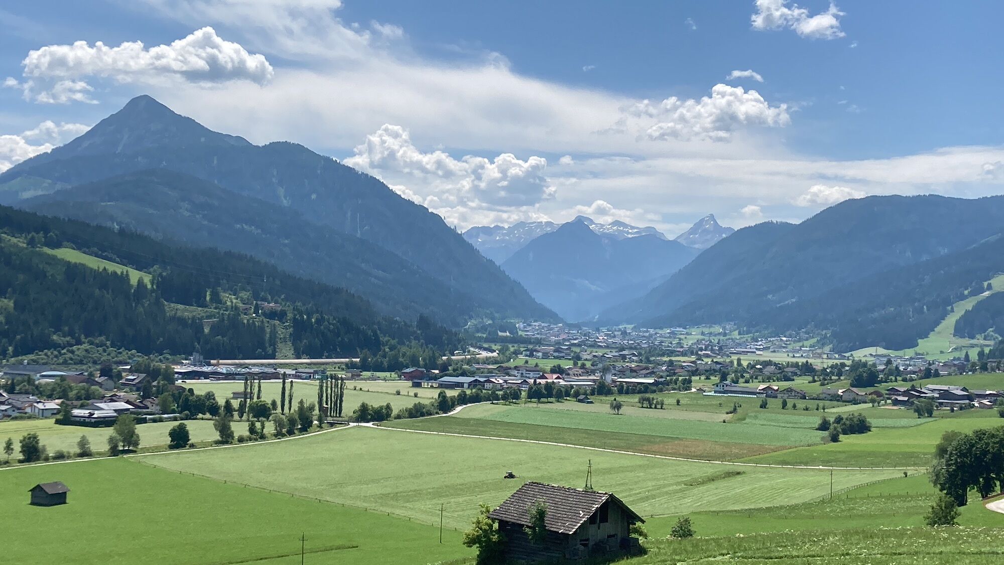
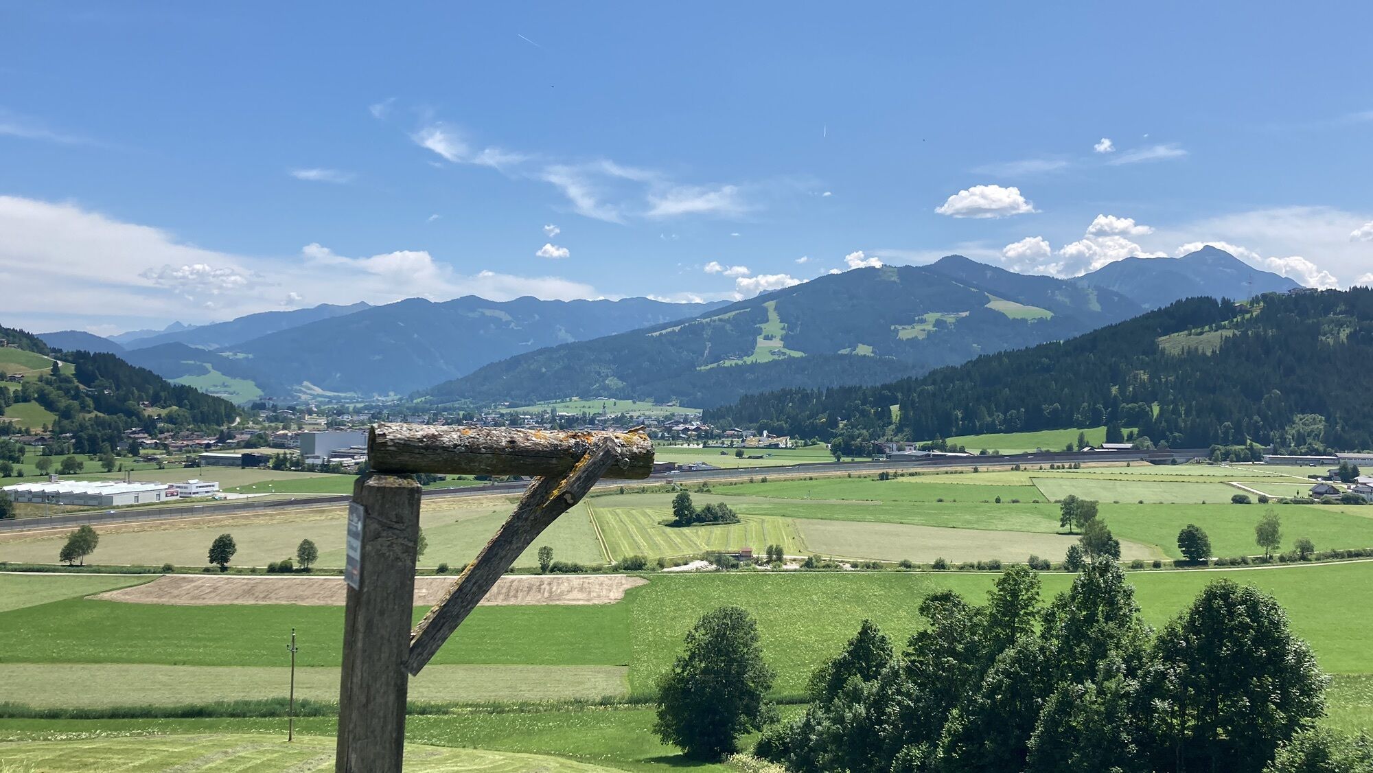
Mandling-Runde (SW 06)


Fotografie našich uživatelů
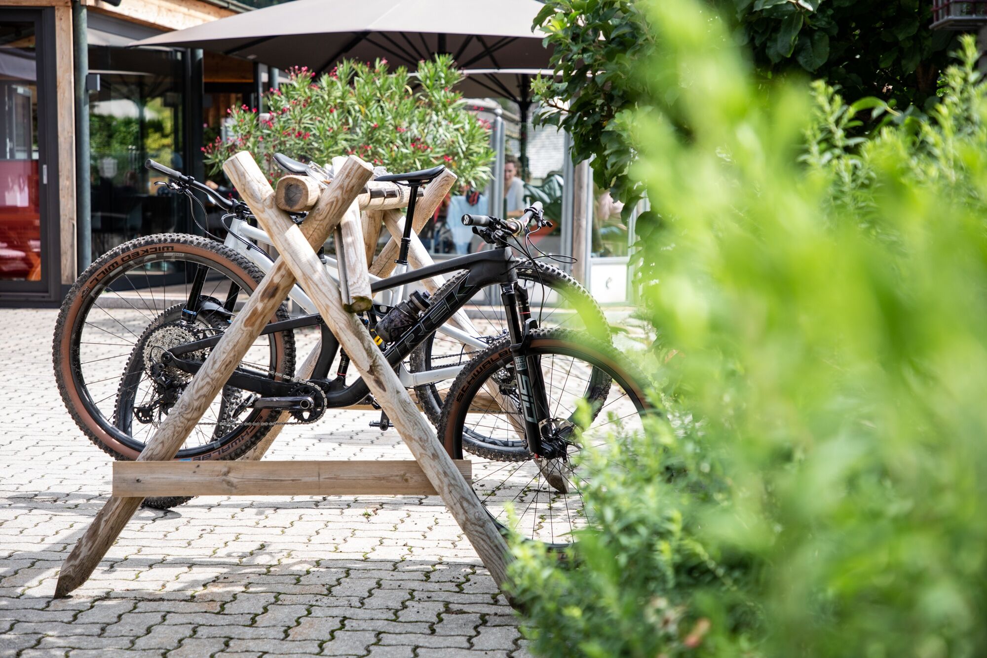
Starting from Flachau, the trail leads leisurely along the Ennsradweg to Mandling. From Mandling, we take the opposite direction on the signposted SW 06 route and ride up to the Mandlberggut. There local...
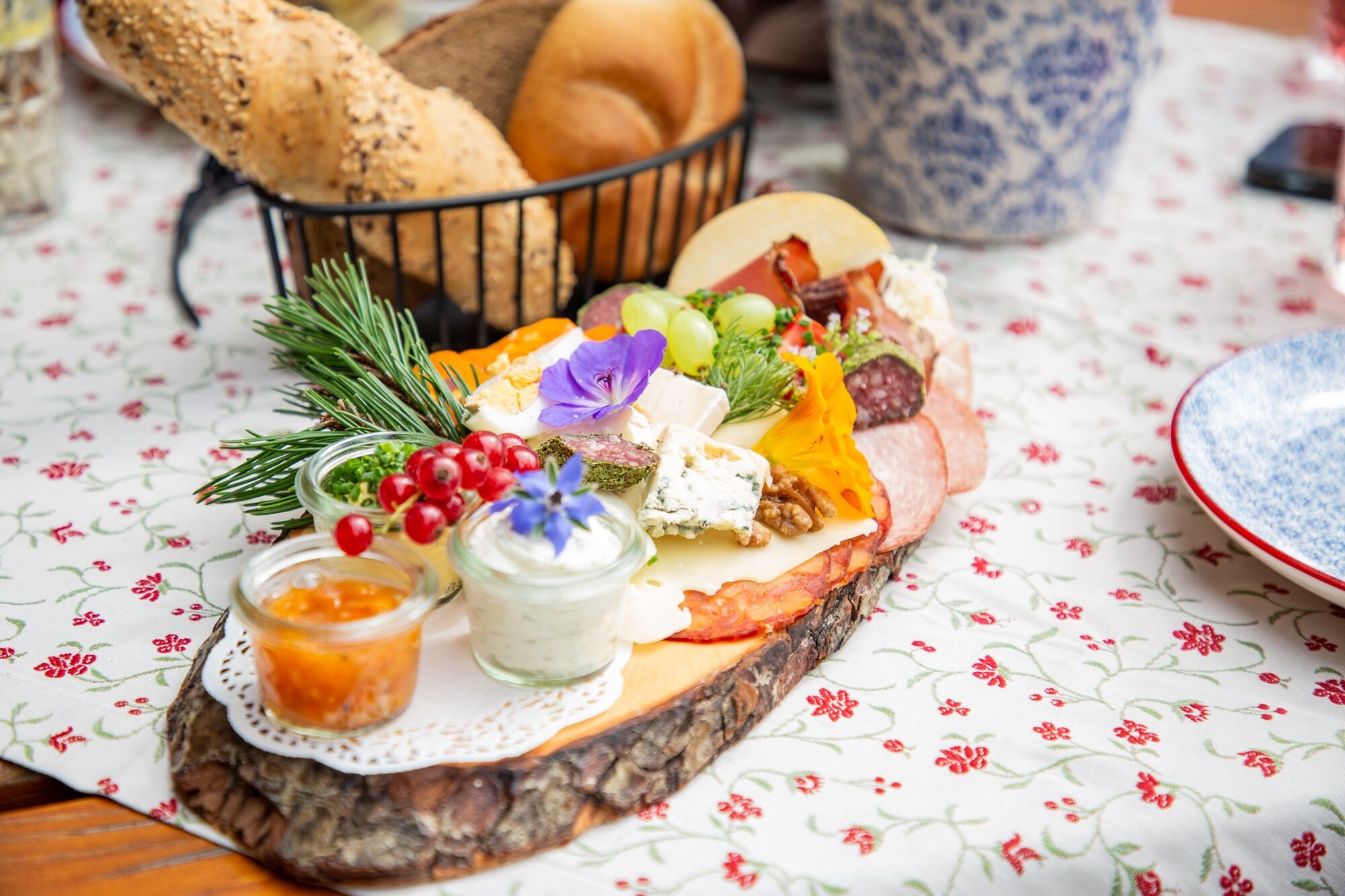
Starting from Flachau, the trail leads leisurely along the Ennsradweg to Mandling. From Mandling, we take the opposite direction on the signposted SW 06 route and ride up to the Mandlberggut. There local specialities invite you to stop for a bite to eat! After a refreshment we return along the same route in the direction of Mandling and along the Ennsradweg with a slight gradient back to the starting point of the tour to Flachau.

Start at Flachau Tourismus - cross the bridge and turn left onto the Ennsradweg - follow the Ennsradweg via Altenmarkt and Radstadt to Mandling - at approx. km 7.4 turn left, then right and left again into the center - past the main road to the left at Gasthof Geringer and briefly follow the asphalt road - turn right into the Mandlbergweg and follow the road to the Mandlberggut - the same way back to the starting point of the tour.
Ano
Ano
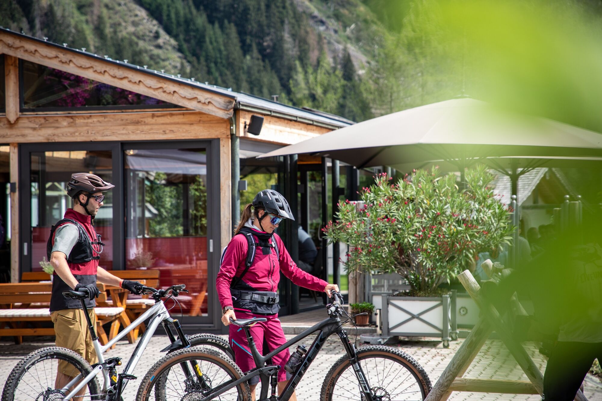
A mountainbiker's basic equipment:
protective gear enough to drink and eat for inbetween sunglasses, optionally sun cream or rain cover mobile phone
Check the functionality of your mountain bike before each ride and inform yourself in about the current weather on site. For your own safety, we recommend to wear a helmet.
Flachau Tourism
From June to September, the Sportweltbus is the ideal shuttle service for your bike tours in the entire region (Flachau, Wagrain-Kleinarl, St. Johann-Alpendorf, Radstadt, Altenmarkt-Zauchensee, Eben, Filzmoos, Obertauern, Großarl & Hüttschlag).
With the Flachau Summer Card you can use the Sportweltbus for only Euro 1,00 per person and route. Children under 6 years travel free!
More information at: https://www.flachau.com/en/more/information/sportweltbus.html
Further connections: www.salzburg-verkehr.at
Parking space near the starting point.
This mountain bike tour is also suitable for e-bikes! Charging stations are available in the village center at Flachau.
Here you'll find more about mountainbiking in Flachau: https://www.flachau.com/en/sport/hiking-biking/mountain-bike.html
Info on the current weather on site: https://www.flachau.com/en
Webové kamery z prohlídky
Bergstation achterjet
Rossbrand
Ramsau am Dachstein / Leiten
Radstadt - Simonyhof
Altenmarkt - Sinnhubbauer
Aparthotel Jagdhof Filzmoos
Aparthotel Jagdhof Filzmoos
Kemahdhöhe
Rittisberg
Reitlehenalm
Kemahdhöhe
Kemahdhöhe
Kemahdhöhe
Kemahdhöhe
Bergstation 6er-Sesselbahn
Altenmarkt-Zauchensee
Radstadt
SUN HOUSE Flachauwinkl/Mittelstation
Ramsau Beach
Papageno Bergstation
Papageno Bergstation
Papageno Bergstation
Papageno Bergstation
Papageno Bergstation
Papageno Bergstation
Papageno Bergstation
Papageno Bergstation
Radstadt - Rossbrand
Ferienbauernhof Habersattgut
Snow Space Salzburg - Flying Mozart
Bergstation 6er-Sesselbahn
Oblíbené prohlídky v okolí
- 4,7
Tour around the Gosaukamm
středníTuristika20,9 km - 4,8
Reiteralmrunde
světloTuristika5,71 km - 4,1
Reiteralm Höhen-Rundweg
středníTuristika5,50 km - 4,6
Bankerlweg
světloTuristika2,31 km - 4,7
Skitour Lackenkogel
středníLyžařská trasa7,82 km - 5,0
Rundwanderweg von der Fallhausalm und Vögeialm übers Klamml zur Oberhütte am See
středníTuristika10 km - 4,7
GOSAU | Gosauseen
světloTuristika14,6 km - 4,2
Jungfrauensteig Rundtour
středníTuristika7,63 km - 4,5
Ursprungalm - Hochwurzen
středníTuristika9,37 km - 5,0
Forstau - Rippetegg / Reiteralm
středníTuristika13,9 km
Pěší turistika a stopování


Nenechte si ujít nabídky a inspiraci pro vaši příští dovolenou
Vaše e-mailová adresa byl přidán do poštovního seznamu.