


e-Bike Tour Hintermoos - Jufen Round


Fotografie našich uživatelů
-
 © Harry HinterplattnerVytvořeno dne 19.10.2025
 -
 © Harry HinterplattnerVytvořeno dne 19.10.2025
 -

 © Zoran DujakovicVytvořeno dne 03.05.2025
 -
 © Zoran DujakovicVytvořeno dne 03.05.2025
 -
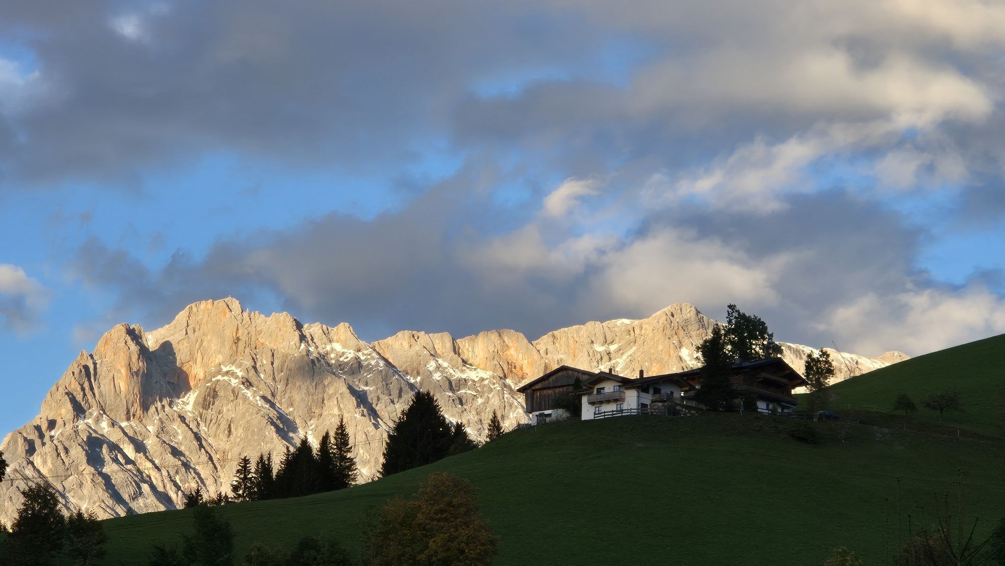
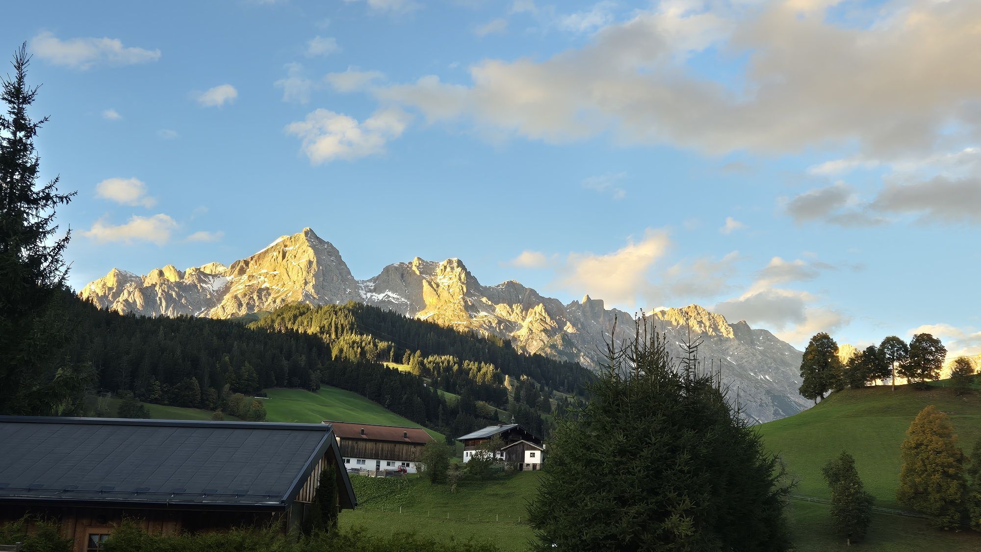
 © WolferlVytvořeno dne 26.09.2024
 -
 © WolferlVytvořeno dne 26.09.2024
 -
 © WolferlVytvořeno dne 26.09.2024
 -
 © WolferlVytvořeno dne 26.09.2024
 -
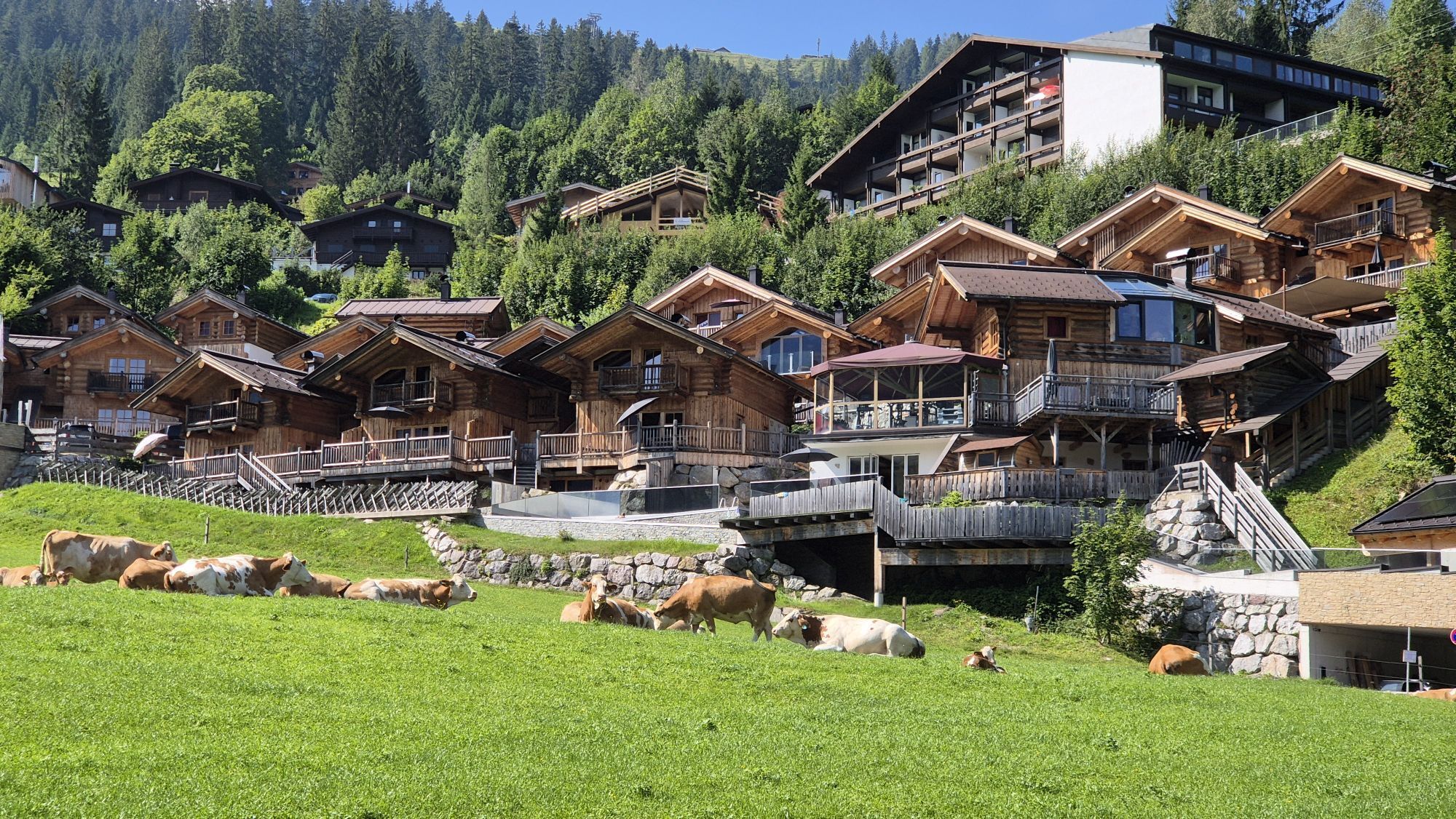
 © WolferlVytvořeno dne 15.08.2024
 -

 © Matej Mikus 1Vytvořeno dne 01.06.2024
 -
 © Frank FuchsVytvořeno dne 12.01.2023
 -

 © Kaste65Vytvořeno dne 20.10.2025
 -

 © Monika JeskovaVytvořeno dne 19.10.2025
 -
 © Monika JeskovaVytvořeno dne 19.10.2025
 -
 © Monika JeskovaVytvořeno dne 19.10.2025
 -
 © Thomas RiffelVytvořeno dne 17.10.2025
 -
 © Thomas RiffelVytvořeno dne 17.10.2025
 -
 © Thomas RiffelVytvořeno dne 17.10.2025
 -

 © Tinelli 13Vytvořeno dne 12.10.2025
 -

 © Gab!HoVytvořeno dne 11.10.2025
 -
 © Raphael ToussaintVytvořeno dne 10.10.2025
 -
 © Raphael ToussaintVytvořeno dne 10.10.2025
 -
 © Raphael ToussaintVytvořeno dne 10.10.2025
 -
 © Daniela HacklVytvořeno dne 29.09.2025
 -
 © Tamás Kiss (Mr. Mojo)Vytvořeno dne 13.09.2025
 -

 © Fantom RoKVytvořeno dne 04.07.2025
 -
 © Fantom RoKVytvořeno dne 04.07.2025
 -
 © Florian GerlVytvořeno dne 31.05.2025
 -

 © Christian HebenstreitVytvořeno dne 05.04.2025
 -
 © Anna StossierVytvořeno dne 31.08.2024

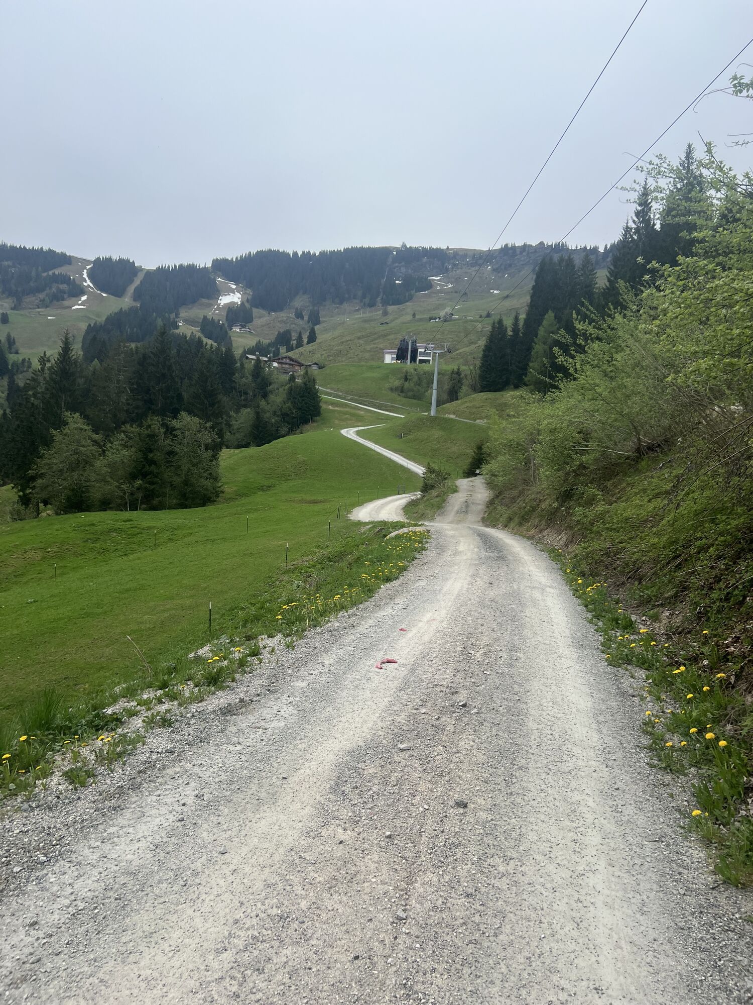


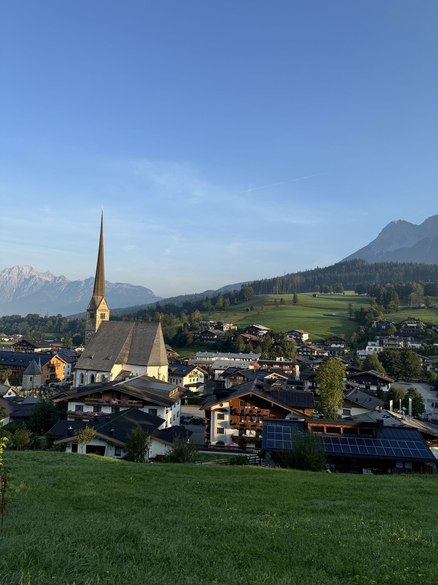
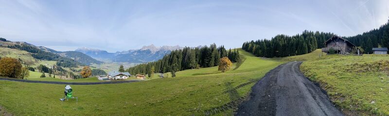
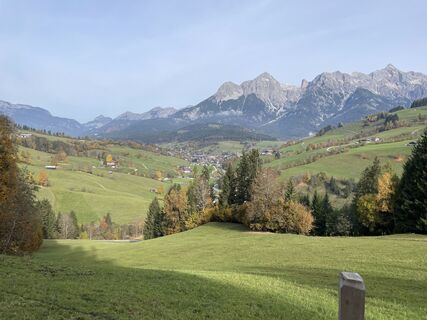
The Hintermoos - Jufen Runde is a medium-difficulty eMTB tour which takes you from Maria Alm via Hintermoos and over the Natrun back to your starting point in Maria Alm. On this scenic tour you can expect...
The Hintermoos - Jufen Runde is a medium-difficulty eMTB tour which takes you from Maria Alm via Hintermoos and over the Natrun back to your starting point in Maria Alm. On this scenic tour you can expect some nice stops and great attractions at the Natrun.

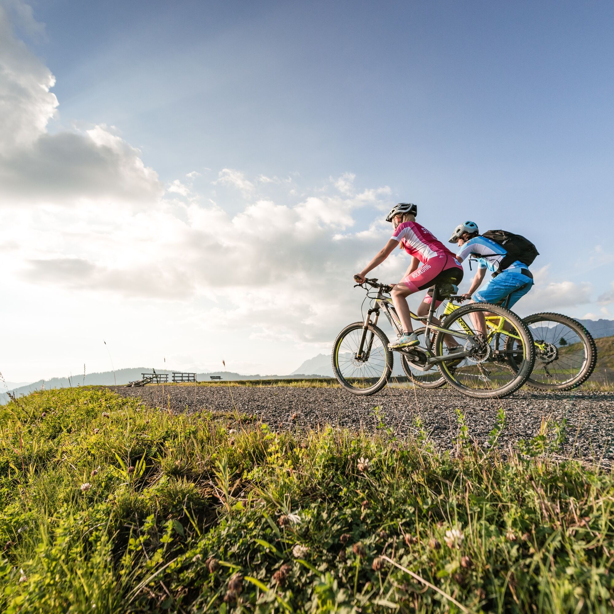
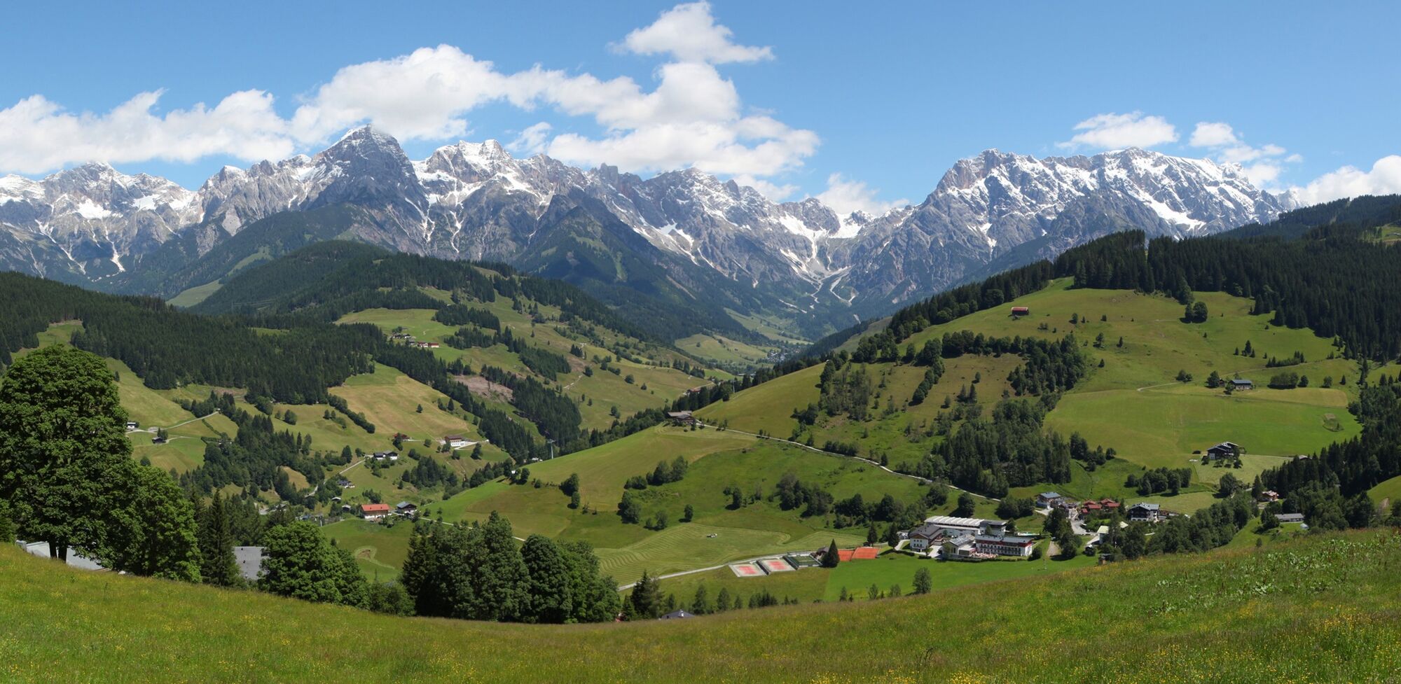

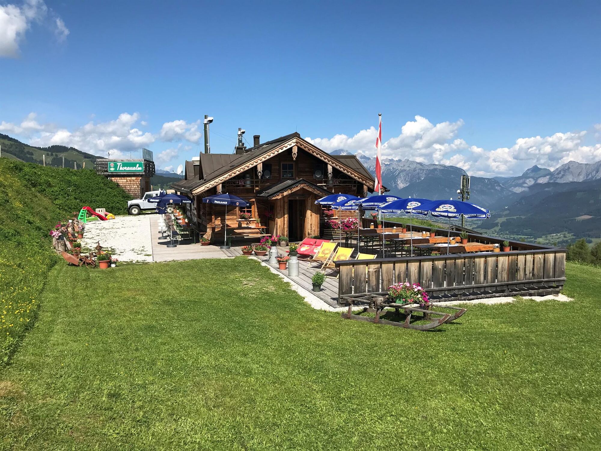
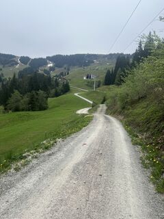
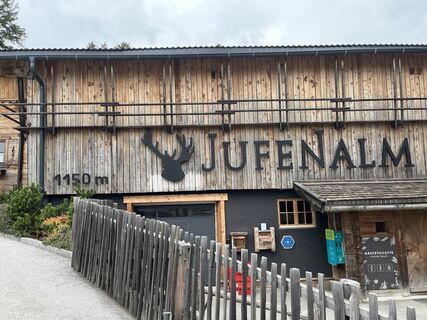
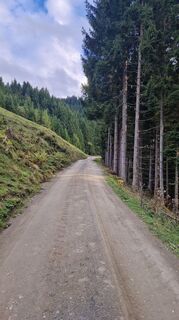
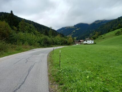
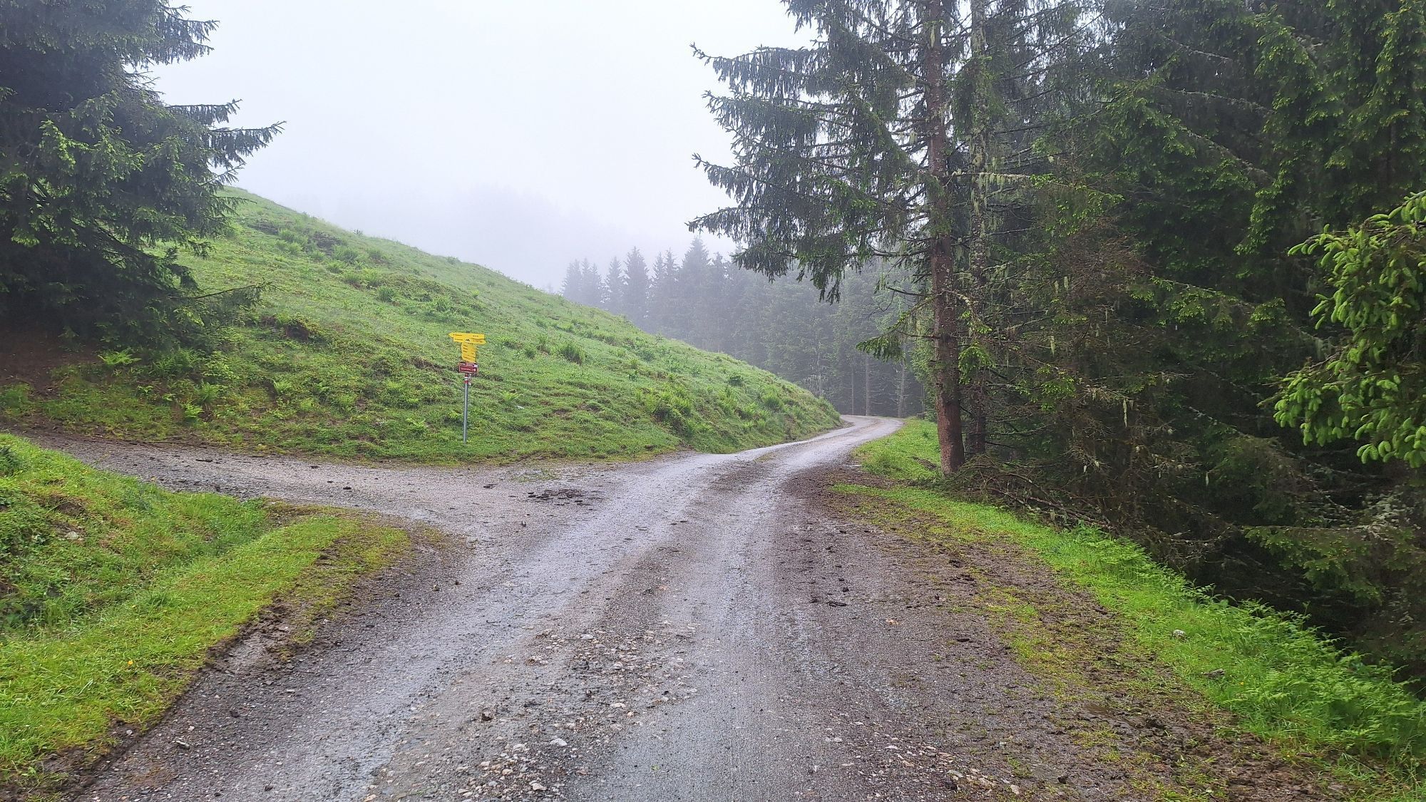
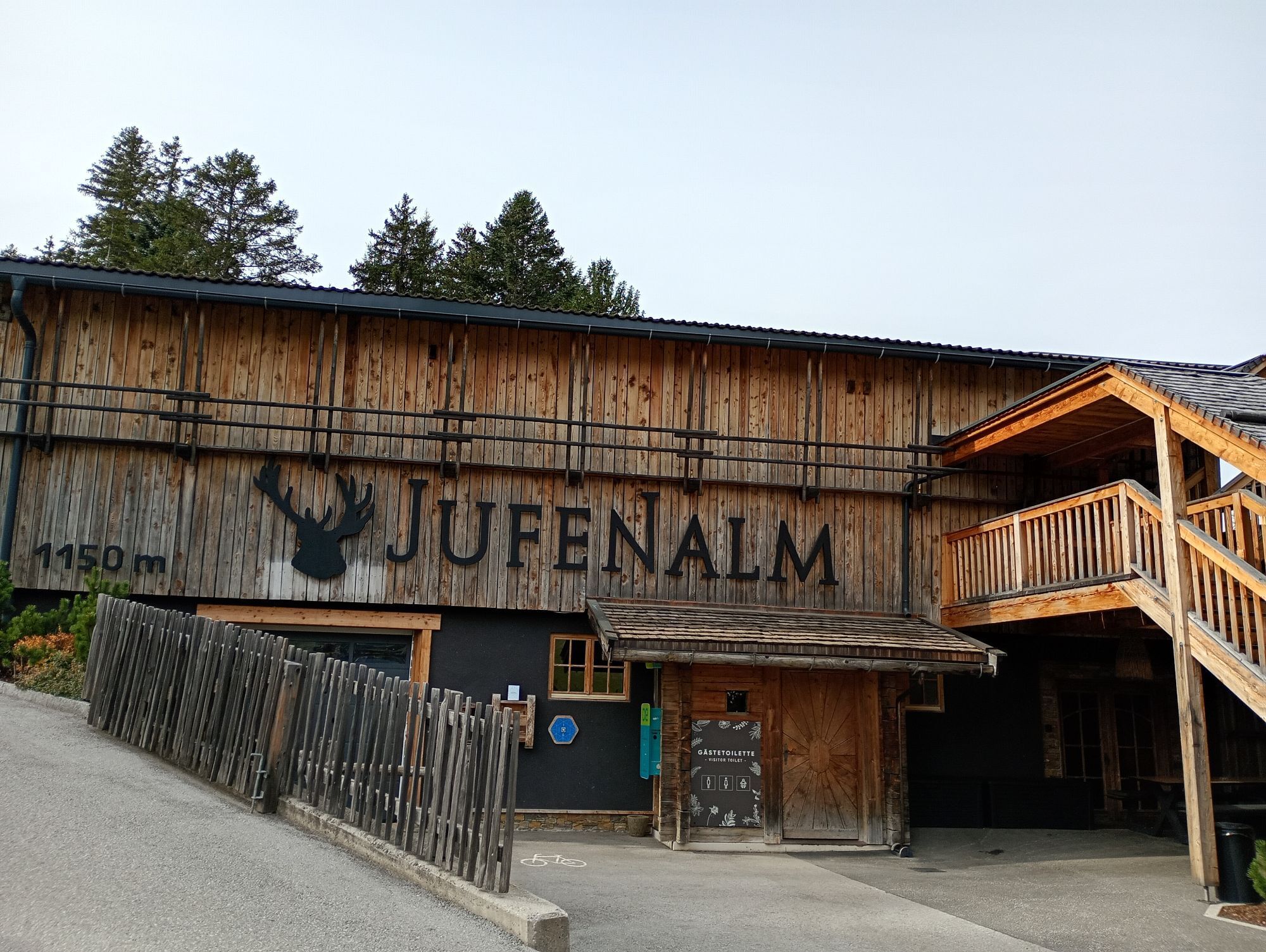
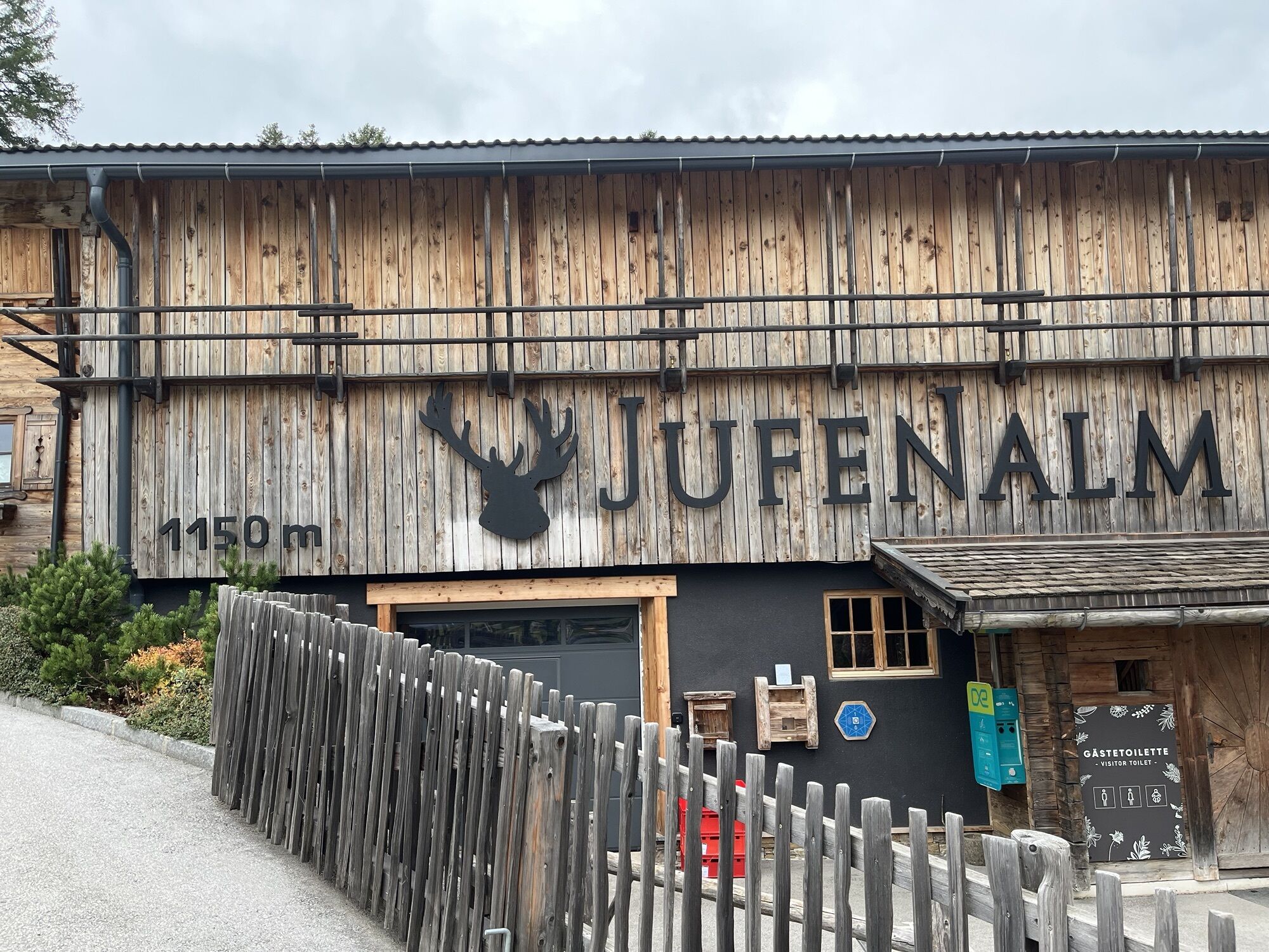
You start at the tourist office Maria Alm and take the road behind the church to the main road. After 50m turn right to cross the Urslau river. Immediately after the bridge, turn left and follow trail no. 11 to the Unterberg district. There you take trail no. 28, which leads you via the mountain inn Christernreith up to the Thoraualm. From there it goes steadily downhill to the district Hintermoos (trail no. 28c). At the main road turn right. After about 150m, take the Hintersonnberg-Jufen goods road (trail no. 26d) to the Jufenalm (eBike filling station). Then it's all downhill to the center of Maria Alm (trail no. 25).
Controlled bike equipment with helmet
Sunglasses
Sun protection
Rain protection
Drinks and a snack
Necessary medication
First aid kit
Bike map
Fair play!
Drive only on marked paths! Close all gates, barriers and pasture gates! Observe the road traffic regulations! Overtake only at walking pace! Behave respectfully towards other nature users! and the forestry and hunting staff! Be considerate of animals! Do not leave waste in nature! Act responsibly! Check the weather forecast. Fog and bad weather can come surprisingly quickly.
Emergency numbers: Alpine emergency call: 140, International emergency call: 112, Rescue: 144
Coming from Salzburg: Take the A10 motorway to the Bischofshofen exit, then take the B311 towards Bischofshofen. Follow the Hochkönig Bundesstraße/B164 to Maria Alm.
Coming from Innsbruck/ Kufstein: Take the Loferer Straße/B178 in the direction of St. Johann i.T., then follow the Hochkönig Bundesstraße/B164 via Saalfelden to Maria Alm.
A valid vignette is required to use the Austrian motorway and motorway network. It is also compulsory to carry a first-aid kit, warning triangle and high-visibility waistcoat. Further information can be found under Asfinag.
ÖBB-Scotty: Timetable information
Bus line 620: Timetable information
Hiking bus: Timetable information
Free parking at the beginning of the village and in the centre of Maria Alm
Further information on hikes and activities in the Hochkönig region:
For detailed information about hiking maps, the opening hours of the cable cars and the huts and mountain pastures in summer, we recommend you visit the local service centre. There you will not only receive the hiking map, but also valuable tips on the best hiking routes and current conditions.
Opening hours of the mountain lifts in summer: The mountain lifts offer different opening hours during the summer months, which can vary depending on the weather and season. Please check the current operating times in advance.
Opening hours of huts & mountain huts in summer: The huts and mountain huts in the region are ideal rest stops for hikers. Here, too, opening hours may vary depending on the season and day of the week. Ask the friendly hosts for advice about the offers and specialities on site.
For more information, please visit our website: www.hochkoenig.at.
If you have any questions or require specific information, please do not hesitate to contact us:
- E-mail: region@hochkoenig.at
- Telephone: +43 (0)6584 20388
We look forward to helping you and hope you enjoy exploring the beautiful Hochkönig hiking region!
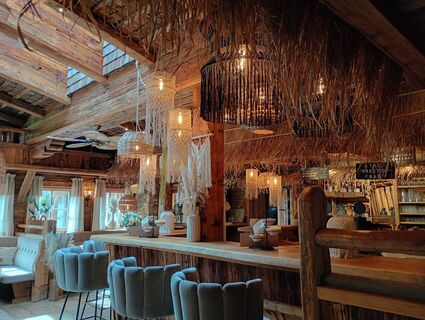
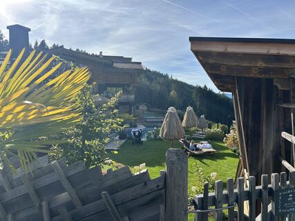
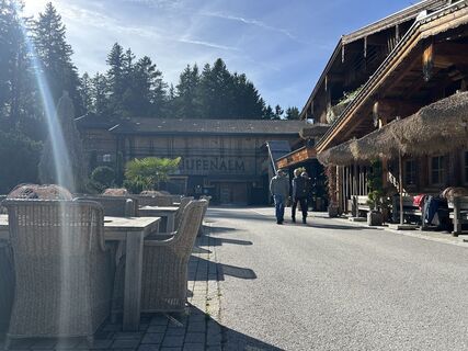
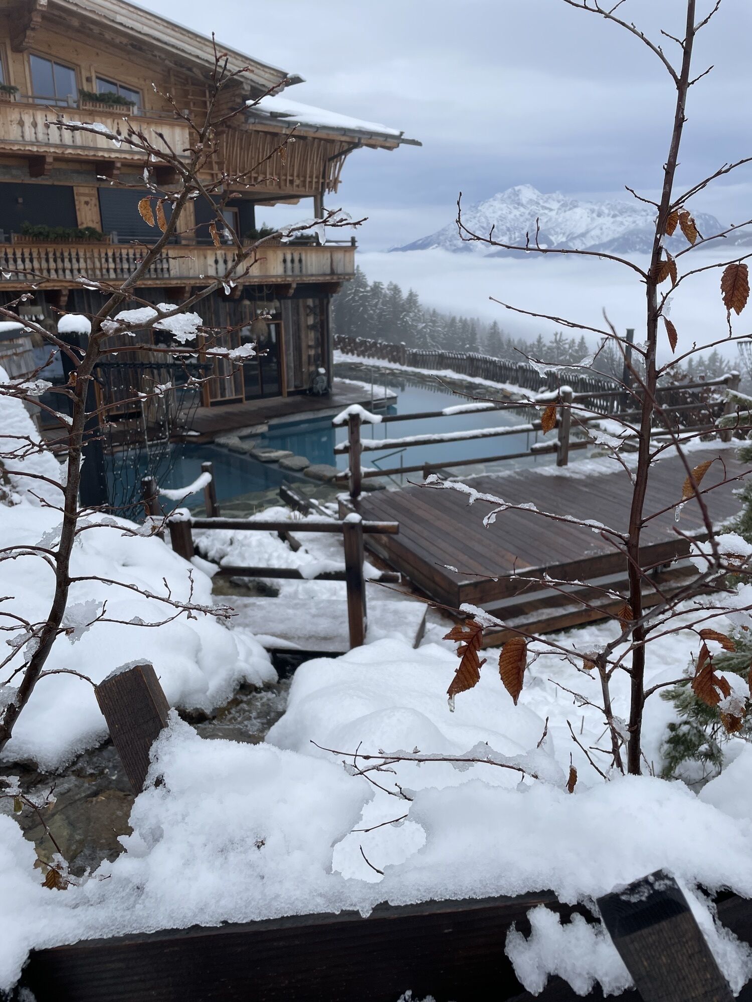
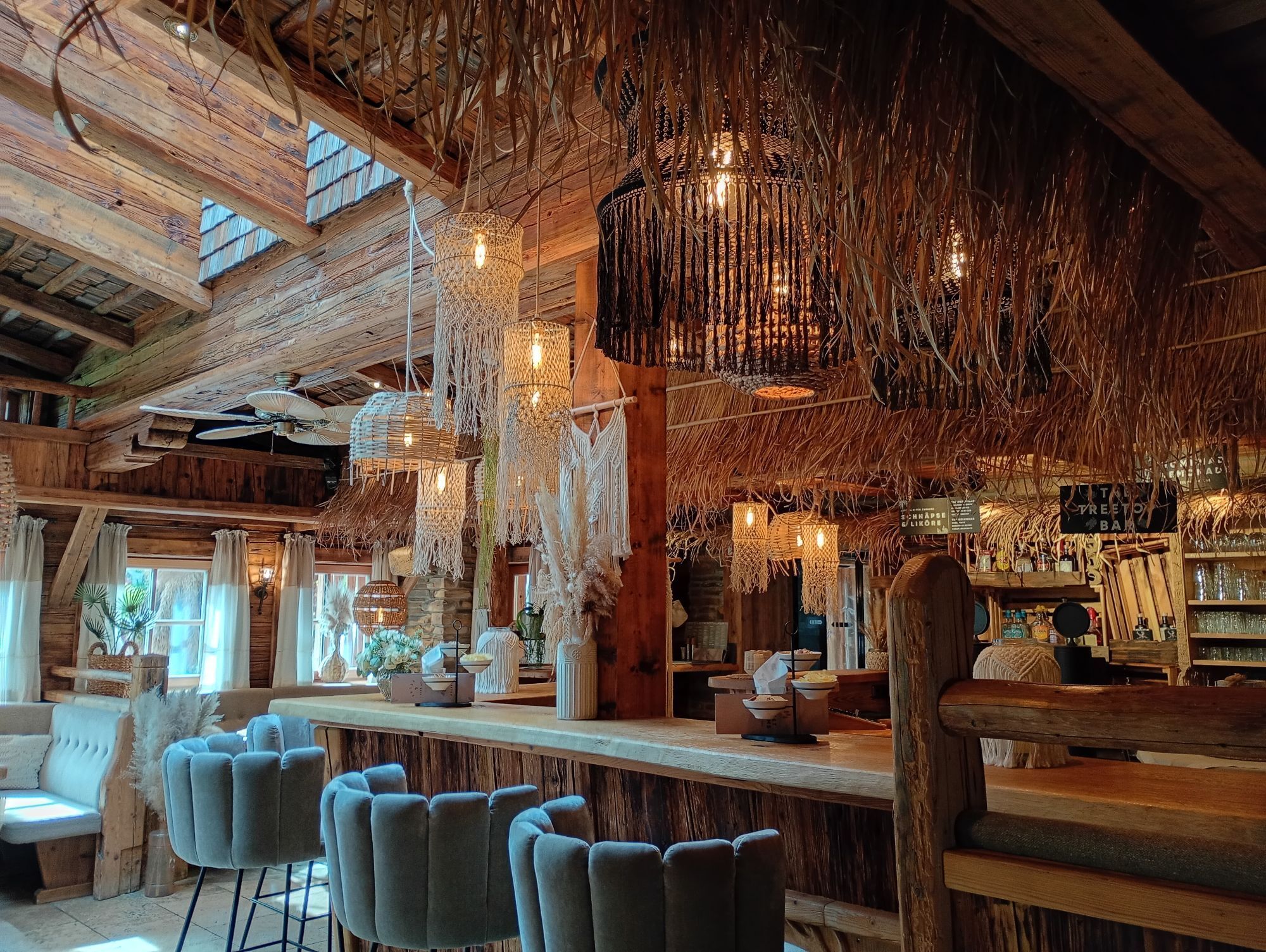
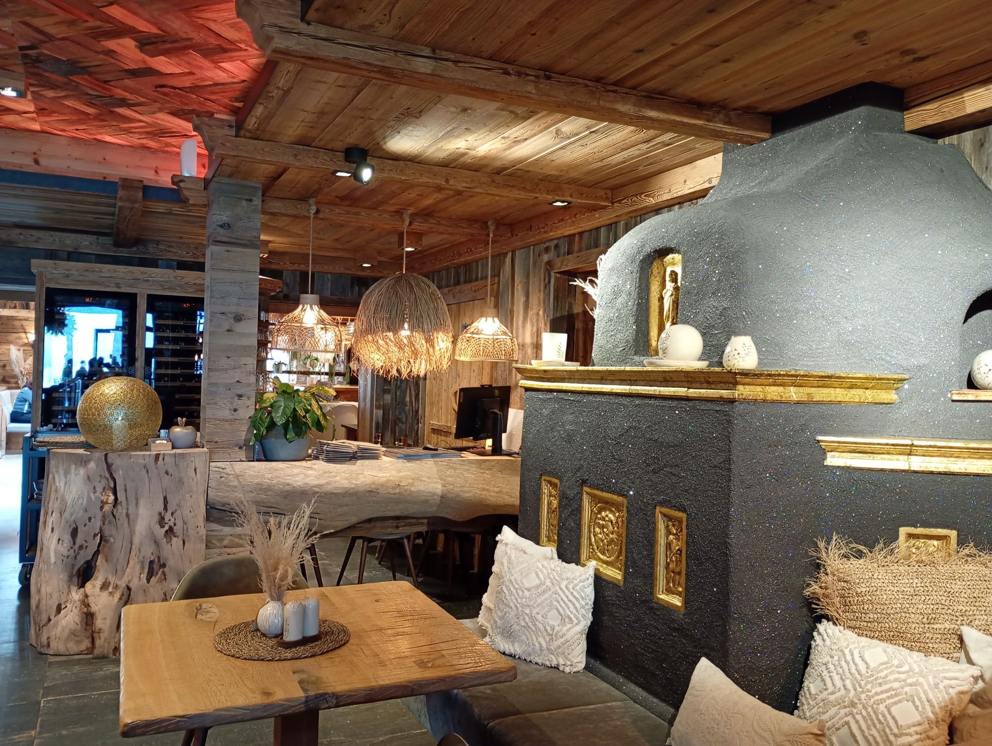
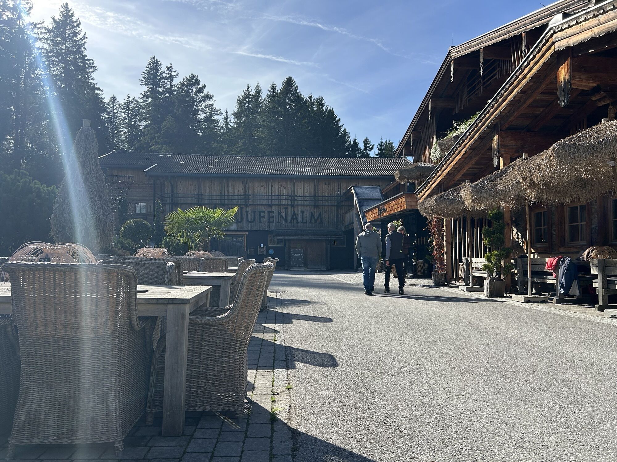
A good snack is available at the surrounding huts! An e-bike filling station is located directly at the Jufenalm!
Oblíbené prohlídky v okolí
-
4.8
Summit storming route Taghaube
heavyTuristika 6.25 km -
4.9
Hochkönig - Gipfel der Gefühle - Matrashaus
heavyTuristika 20.9 km -
3.8
Hochkönig summit route - main ascent
heavyTuristika 18.1 km -
4.8
Summit stormer route Lauskopf
heavyTuristika 8.16 km -
5.0
Königssee - Kärlinger-Haus
Turistika 10.1 km -
4.7
About the "Four Huts circular route" to Windraucheggalm
středníTuristika 10.1 km -
4.4
Riemannhaus
heavyTuristika 3.69 km -
3.9
Mühlbacher Höhenweg
středníTuristika 11.2 km -
4.3
Peter-Wiechenthaler Hut
středníTuristika 4.32 km -
3.0
Alpine hike to Erichhütte
světloTuristika 4.02 km
Pěší turistika a stopování


Nenechte si ujít nabídky a inspiraci pro vaši příští dovolenou
Vaše e-mailová adresa byl přidán do poštovního seznamu.