







Salzburger Almenweg - Stage 03: Dienten - Böndlsee
Úroveň obtížnosti: T2
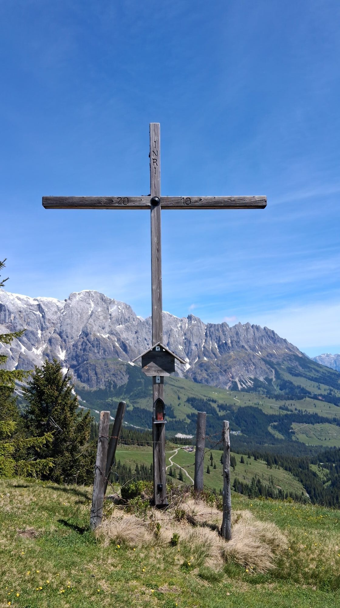
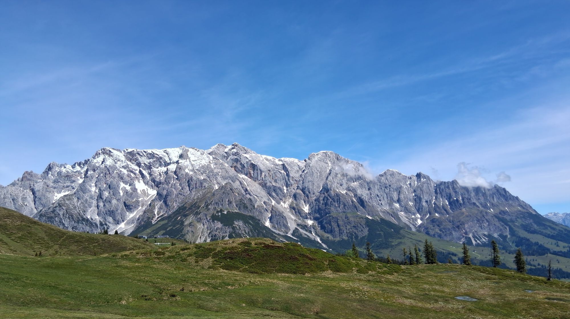
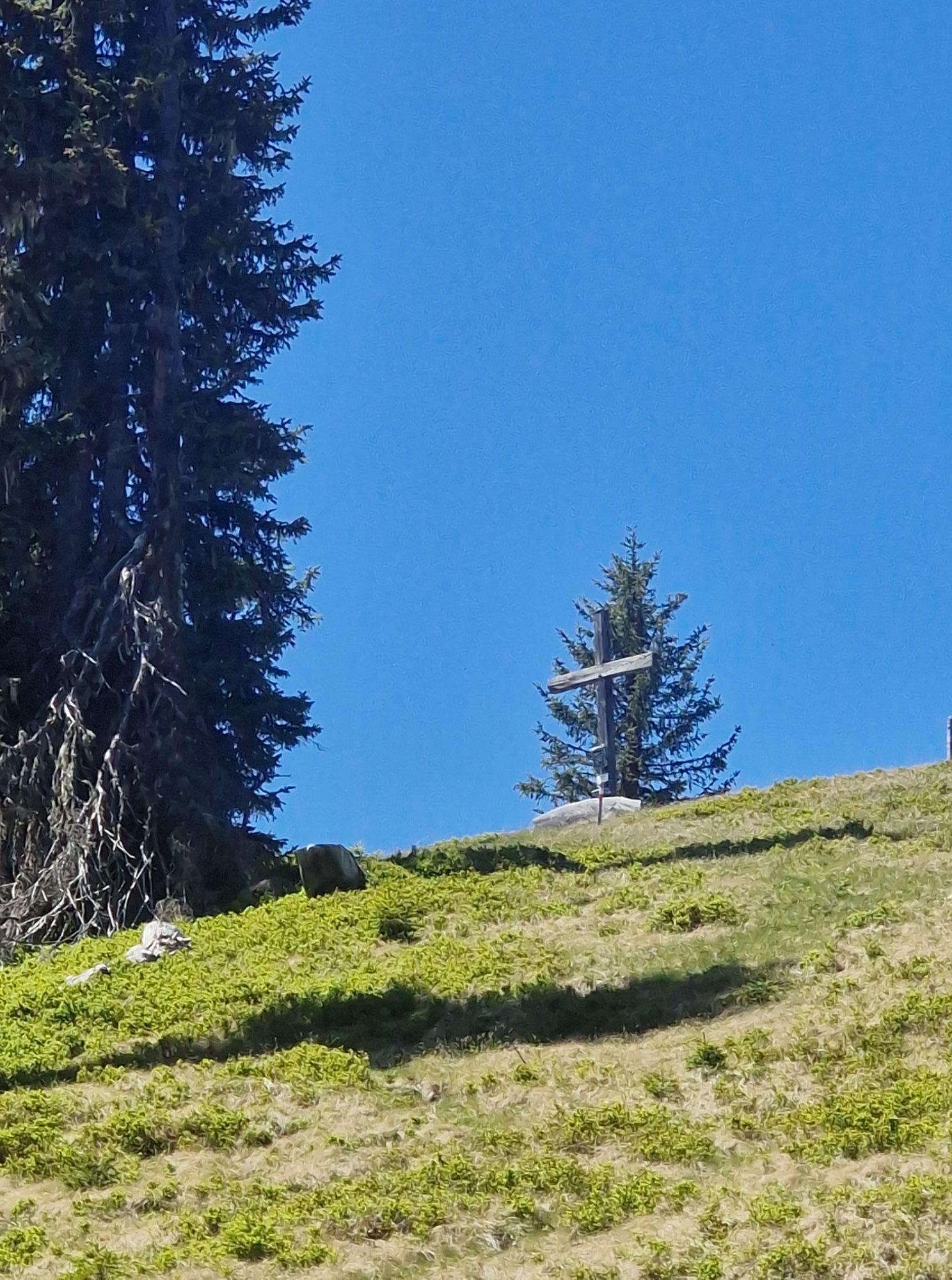
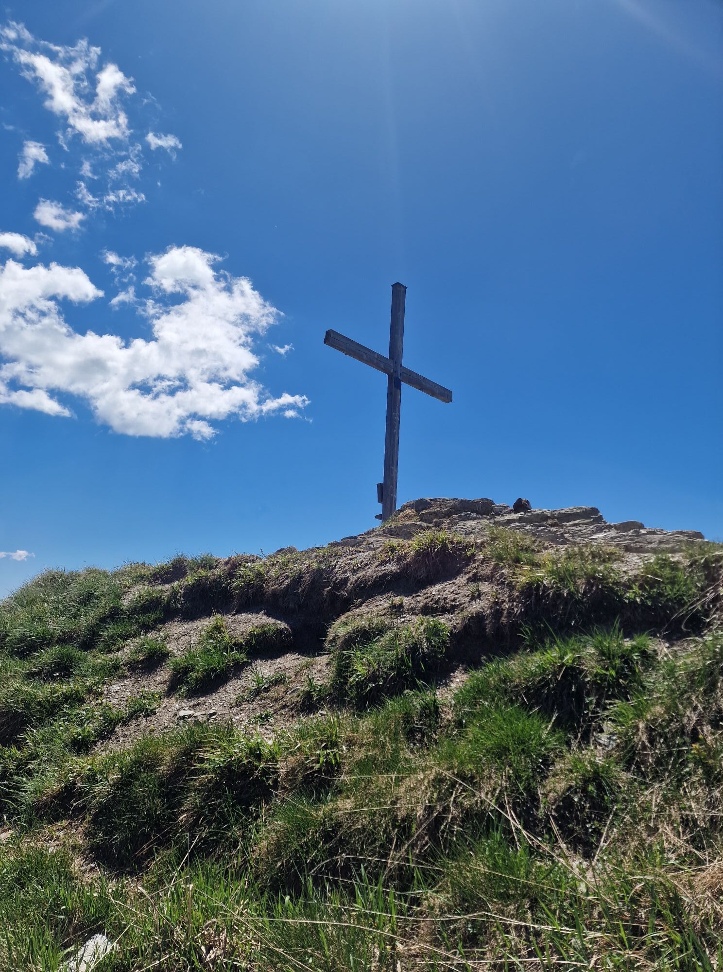

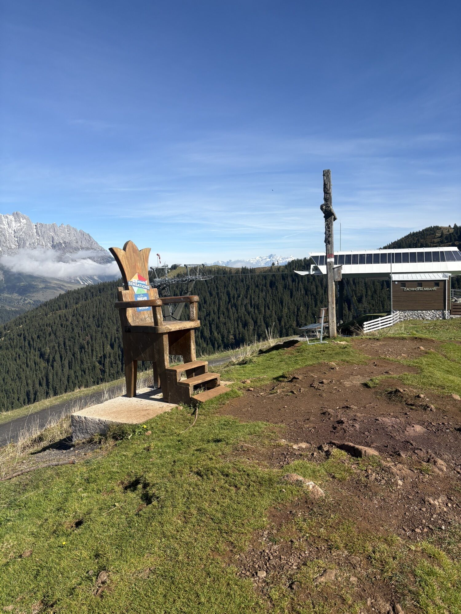
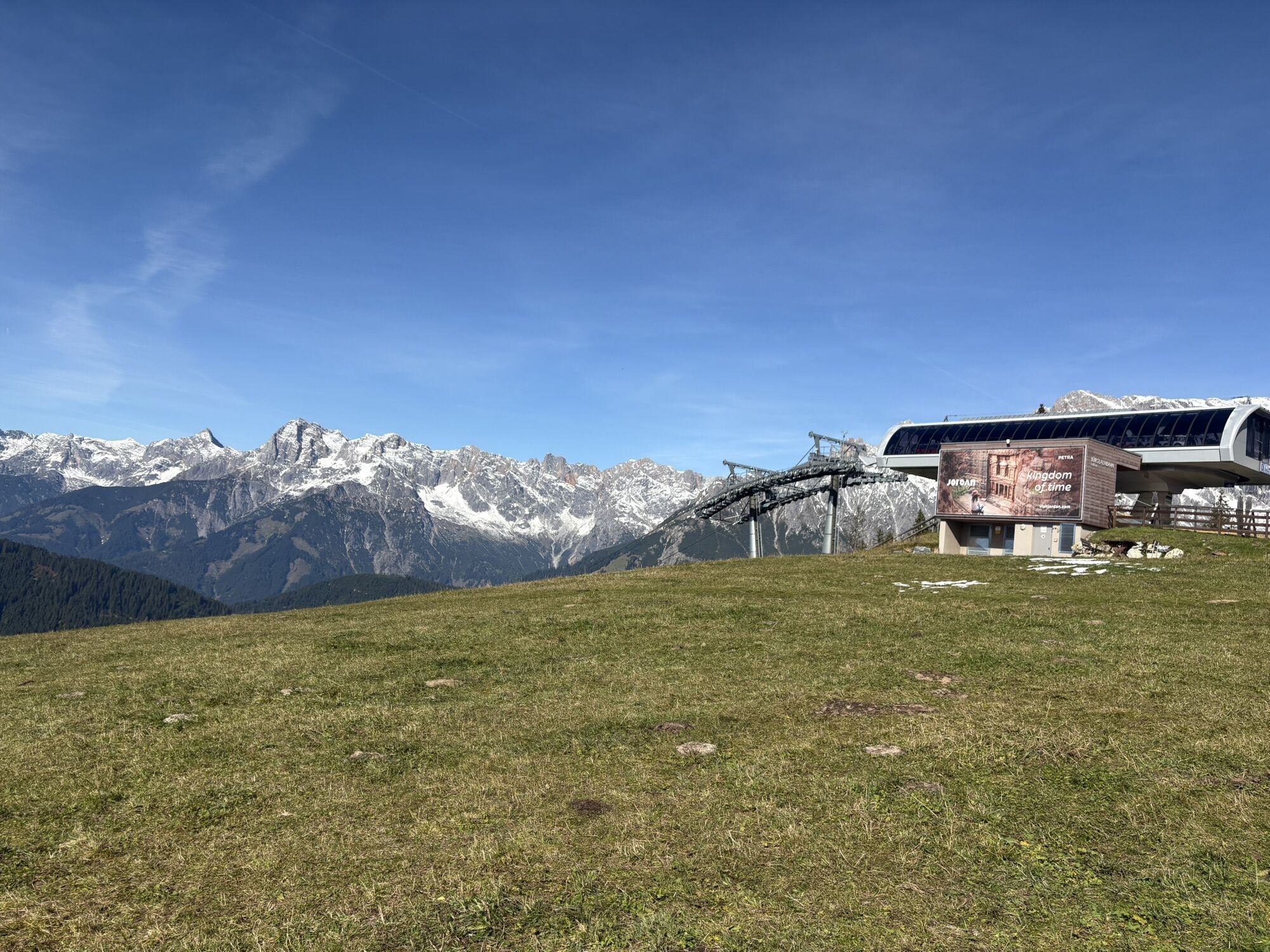
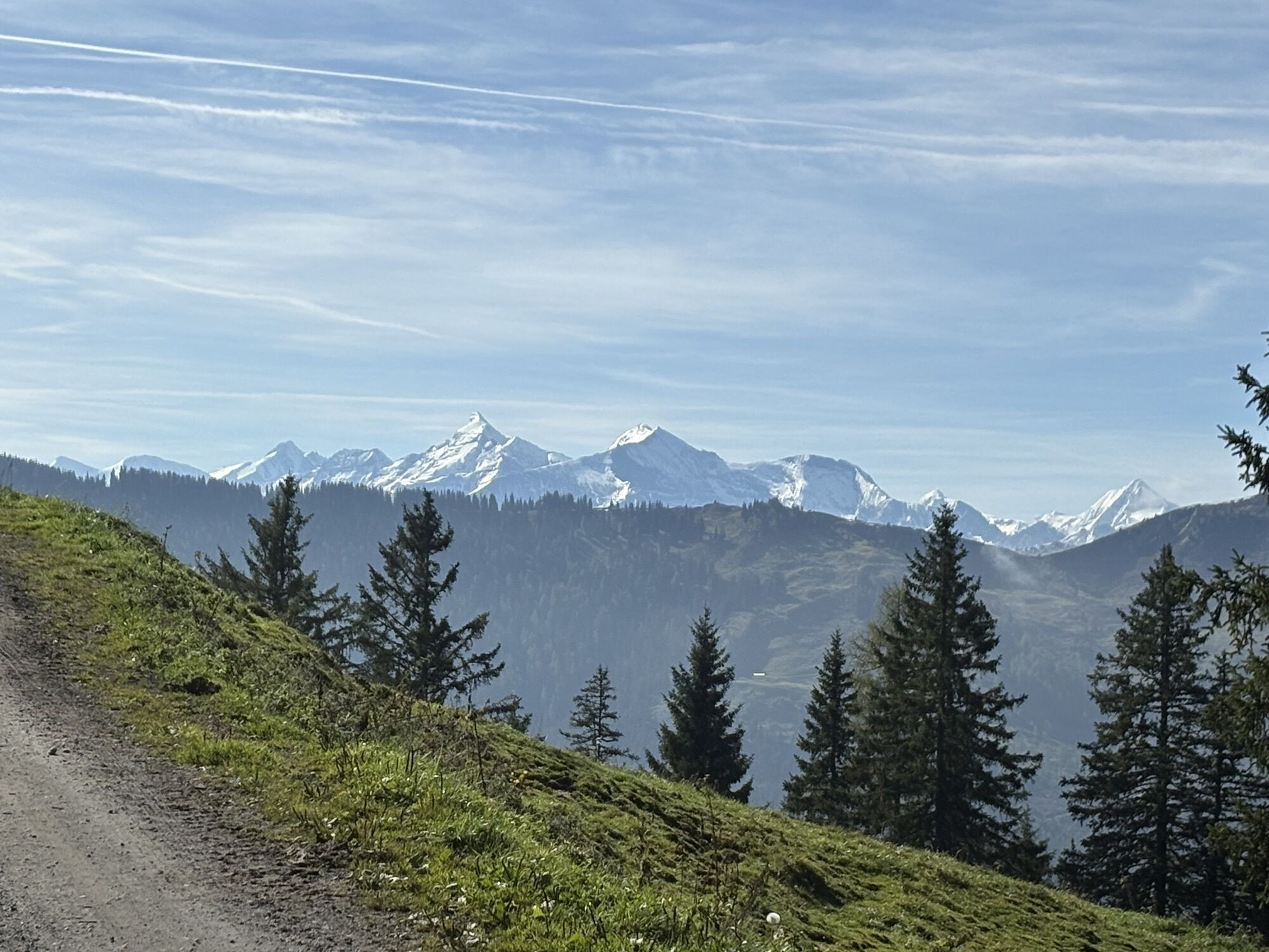

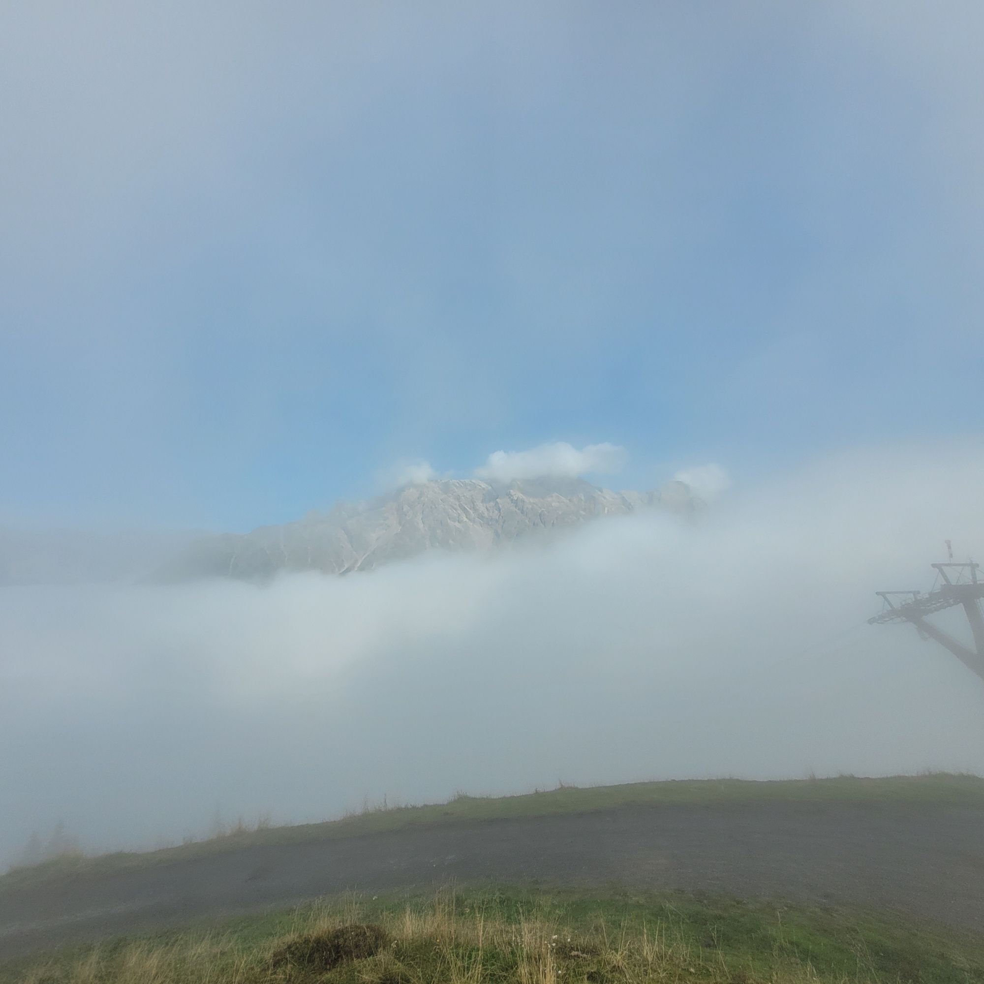
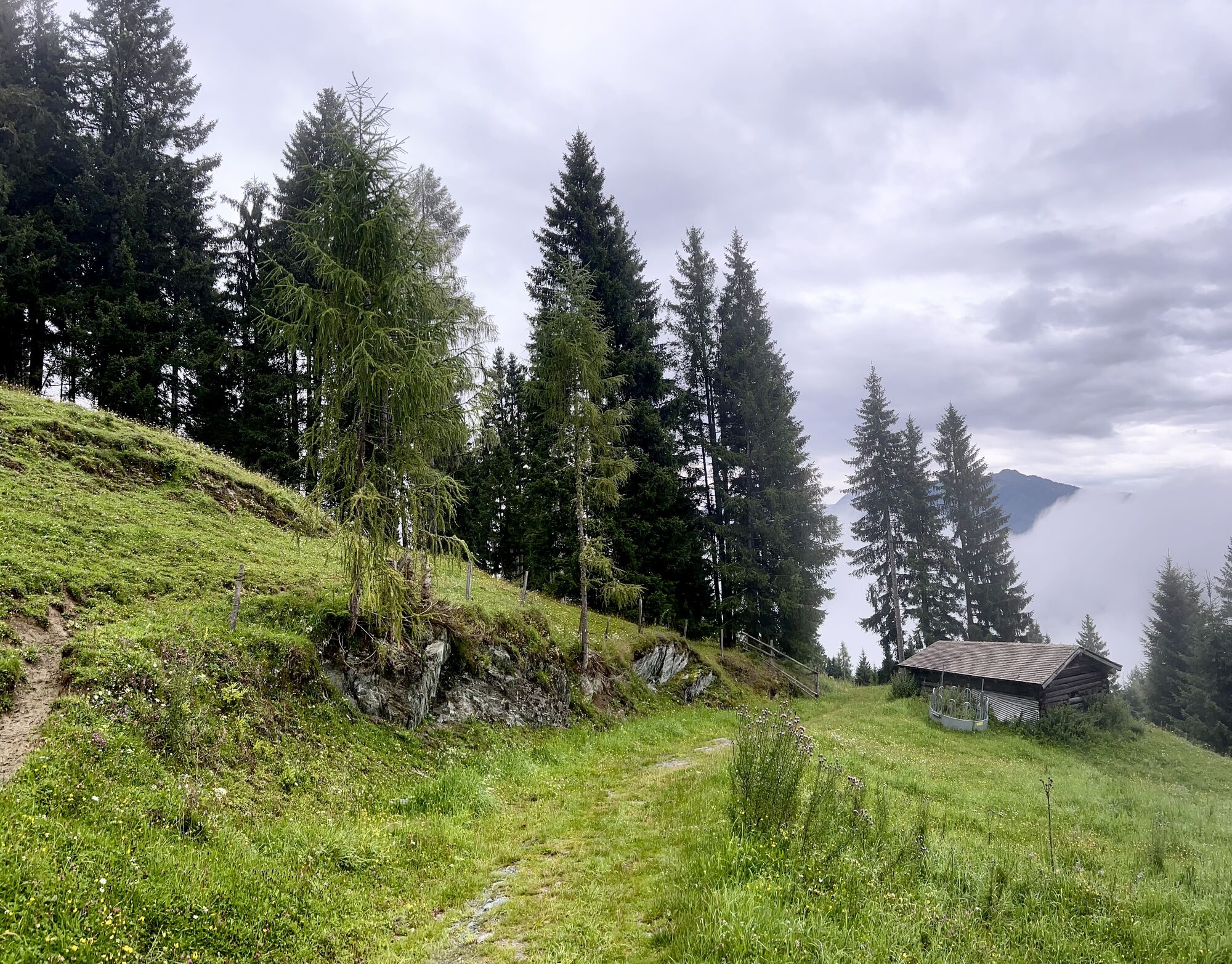

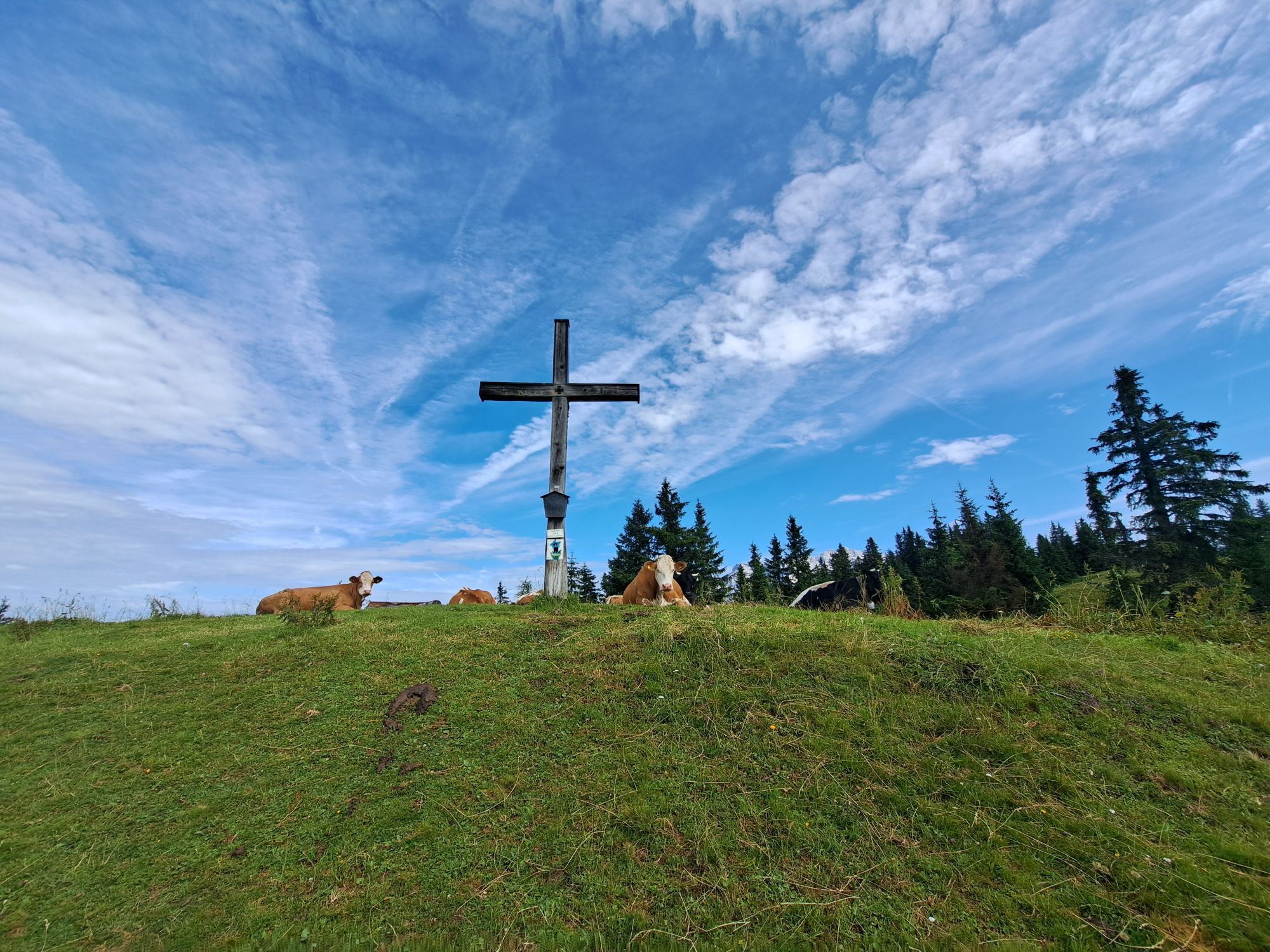
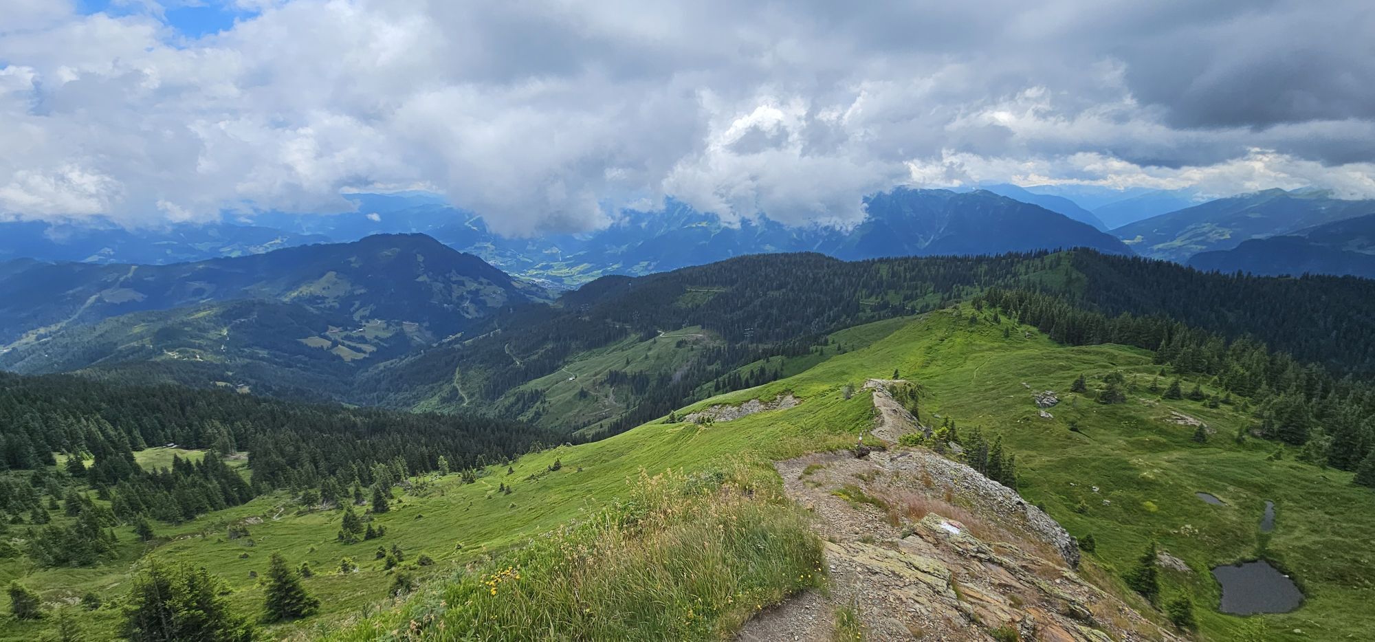
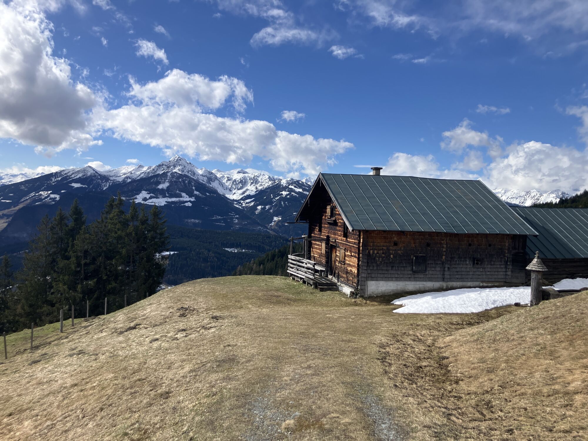
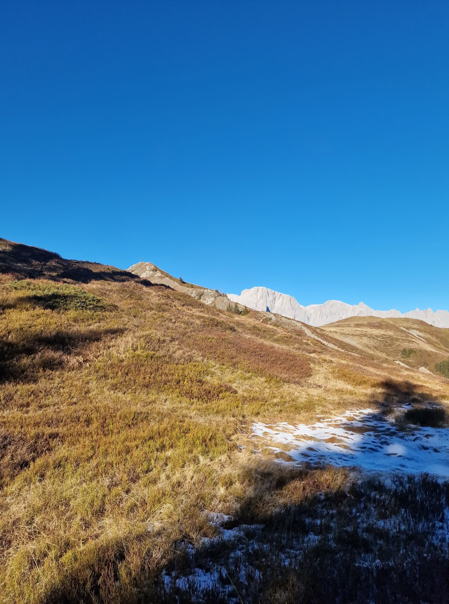
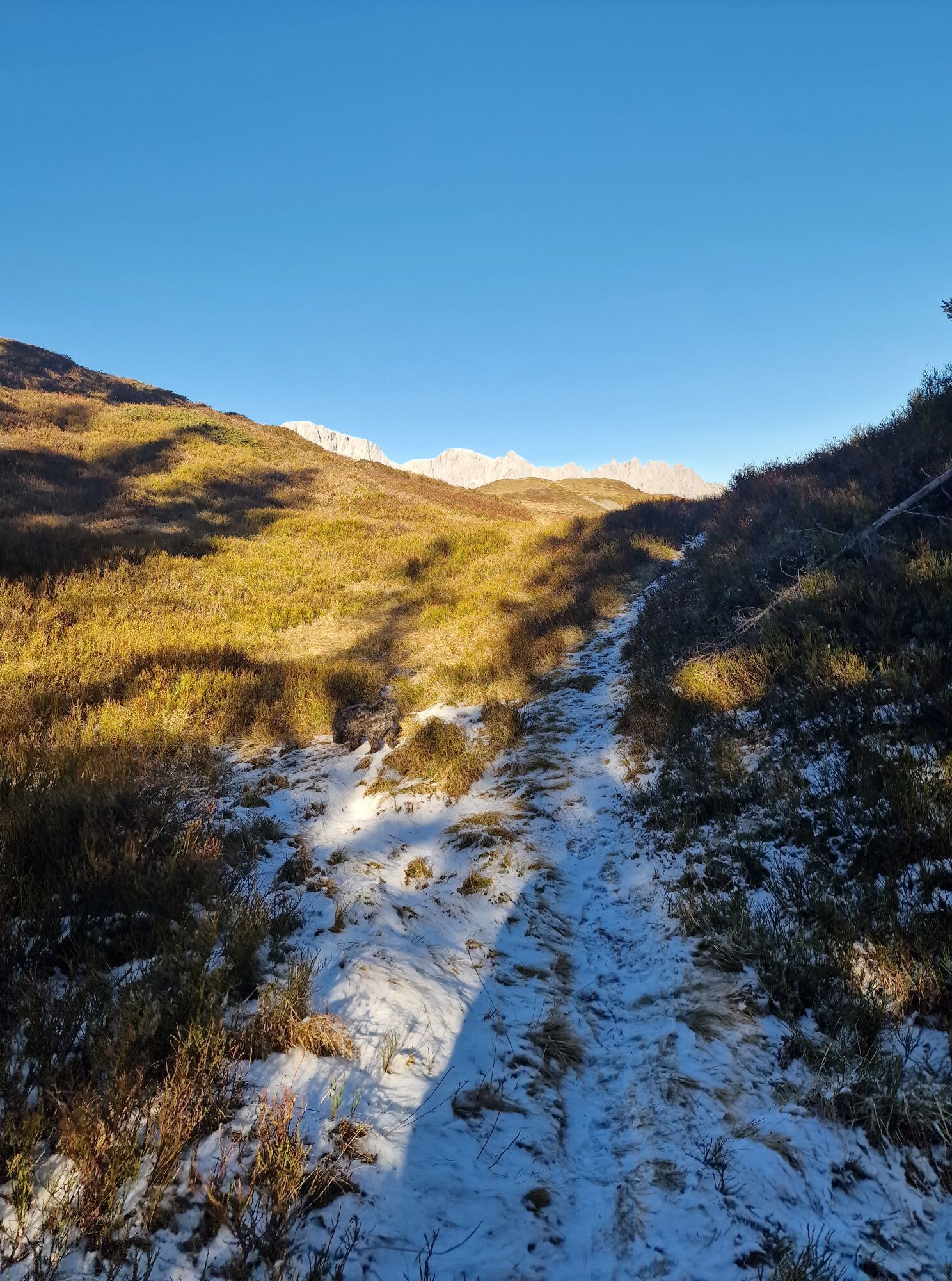
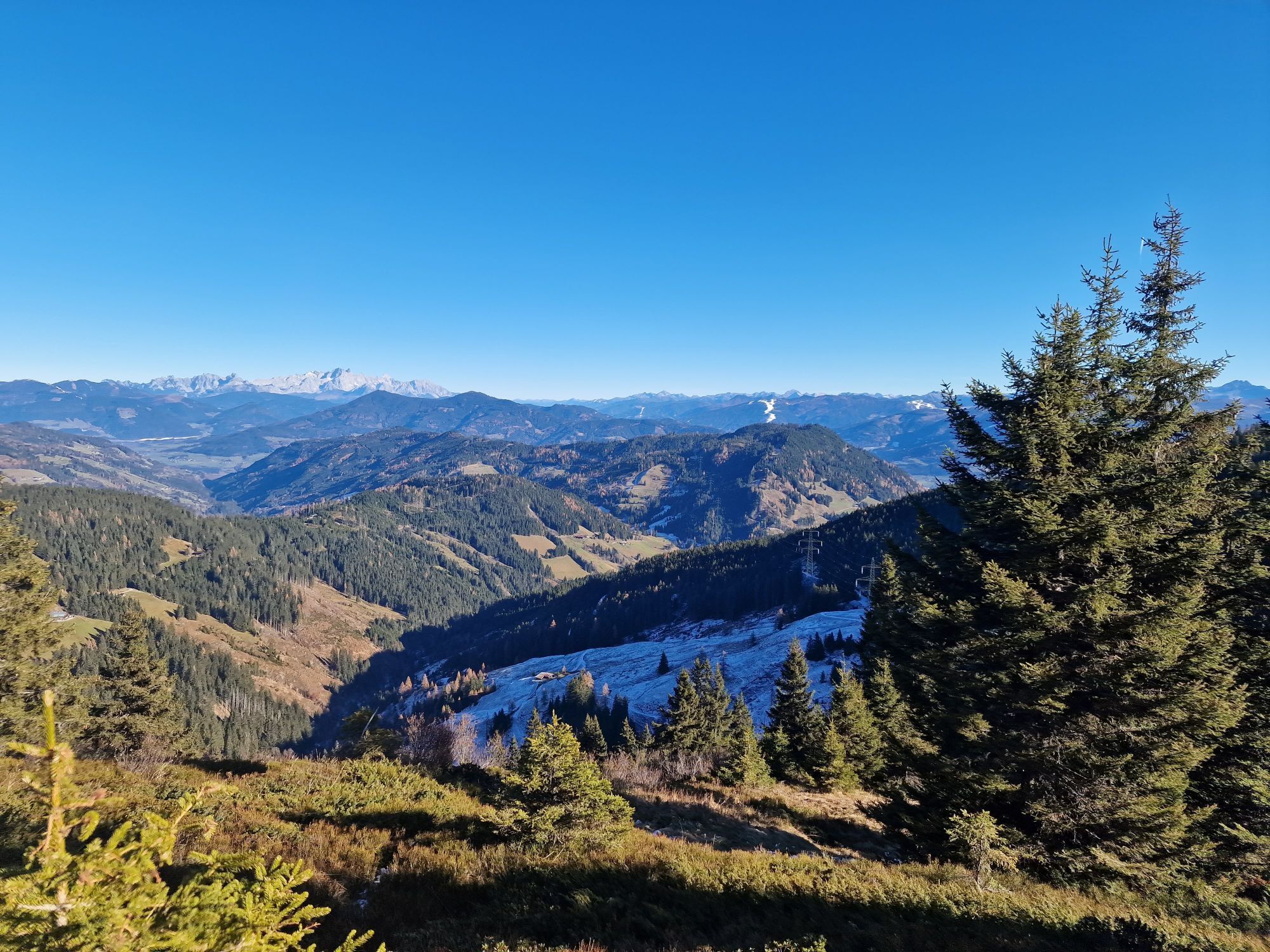
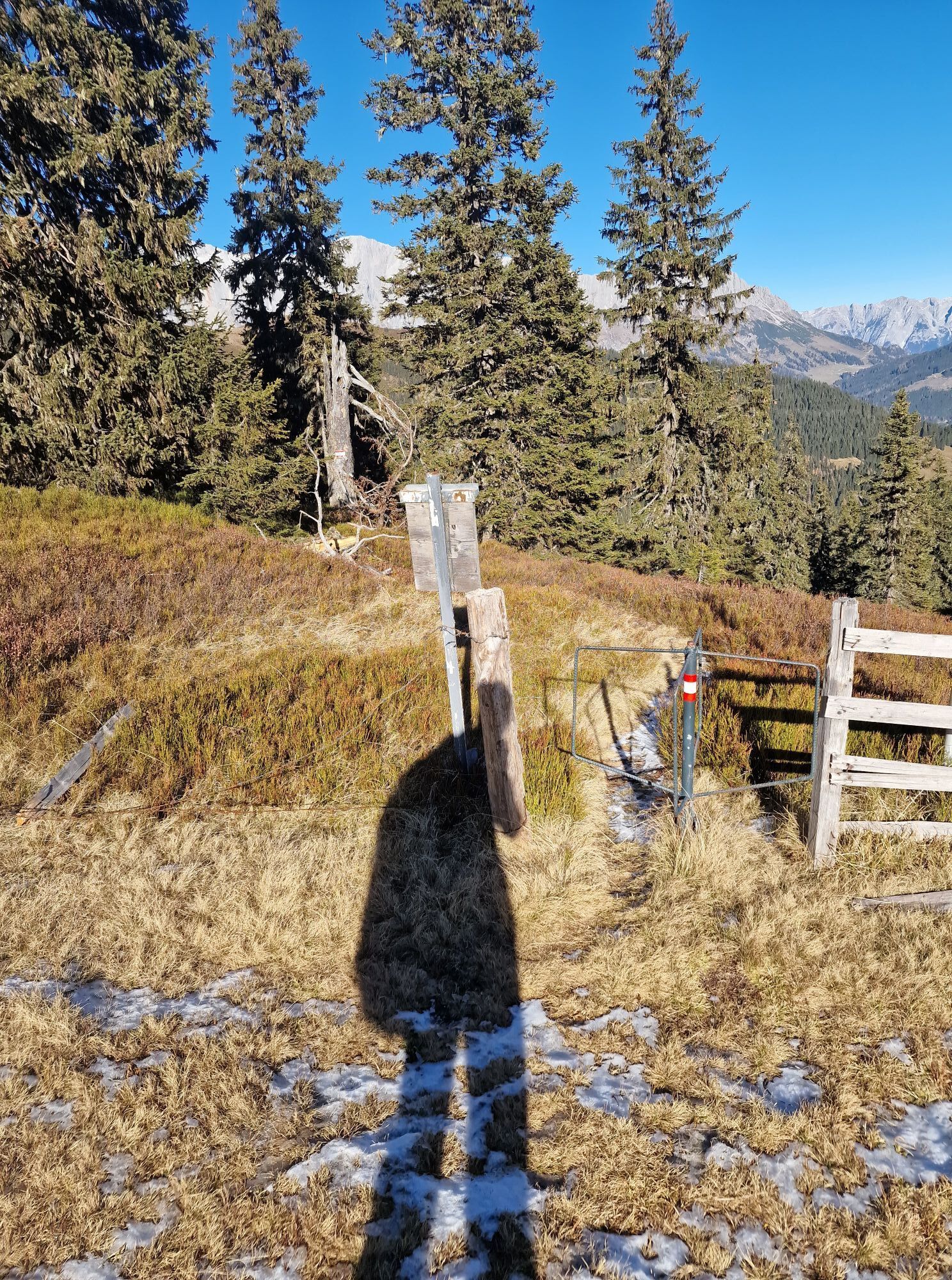
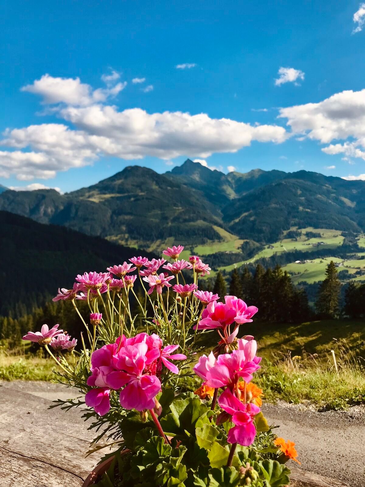
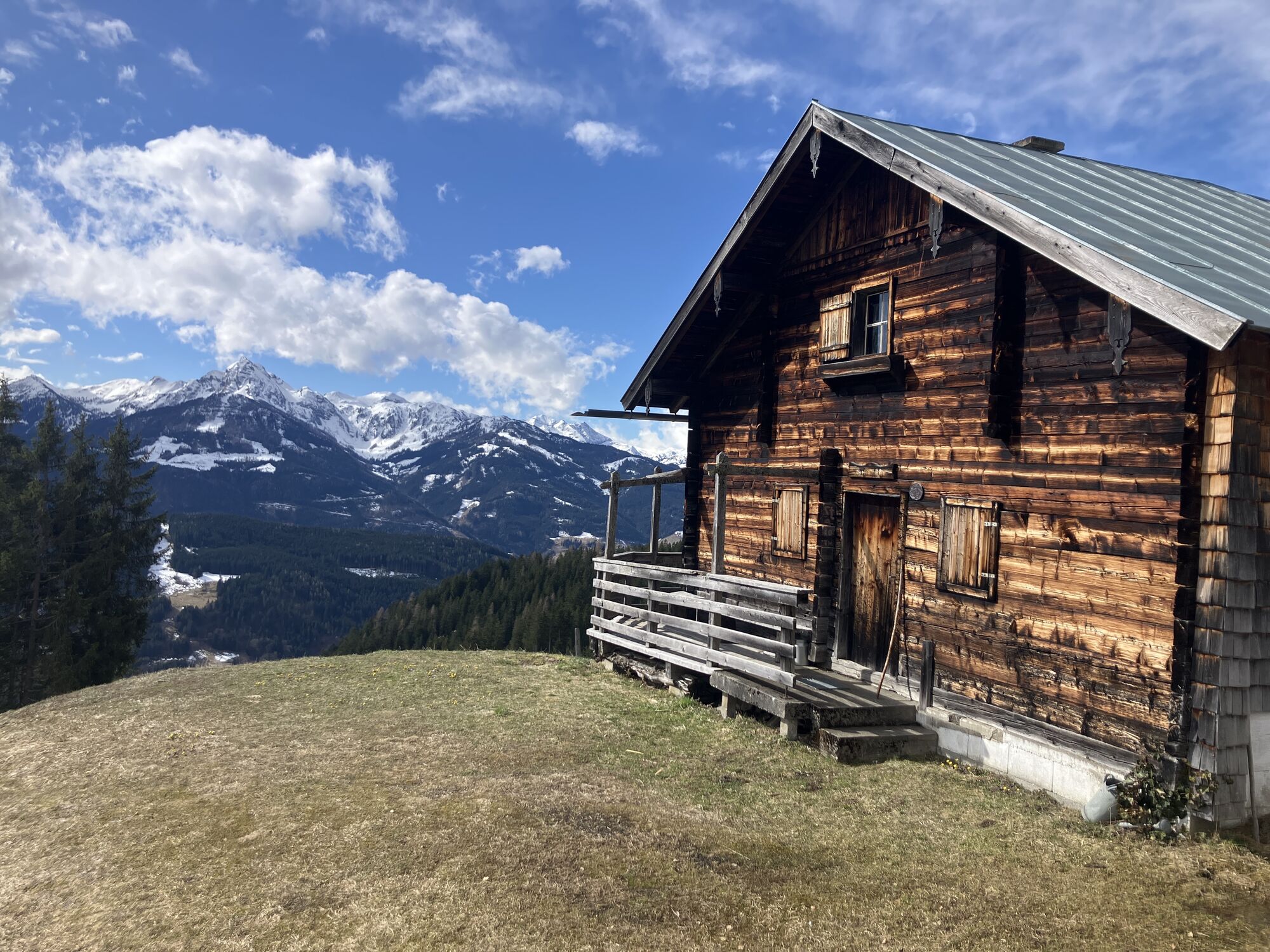
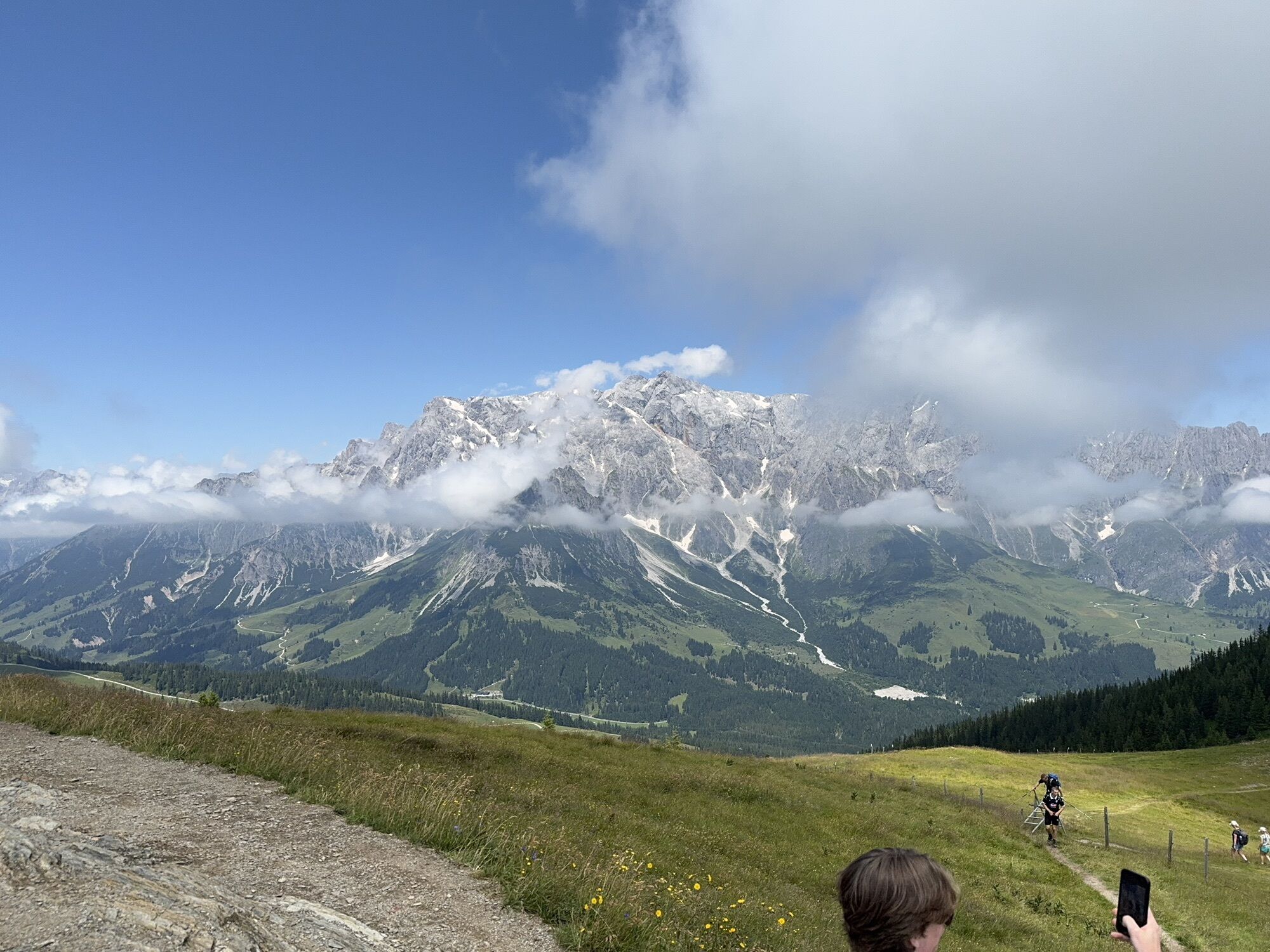
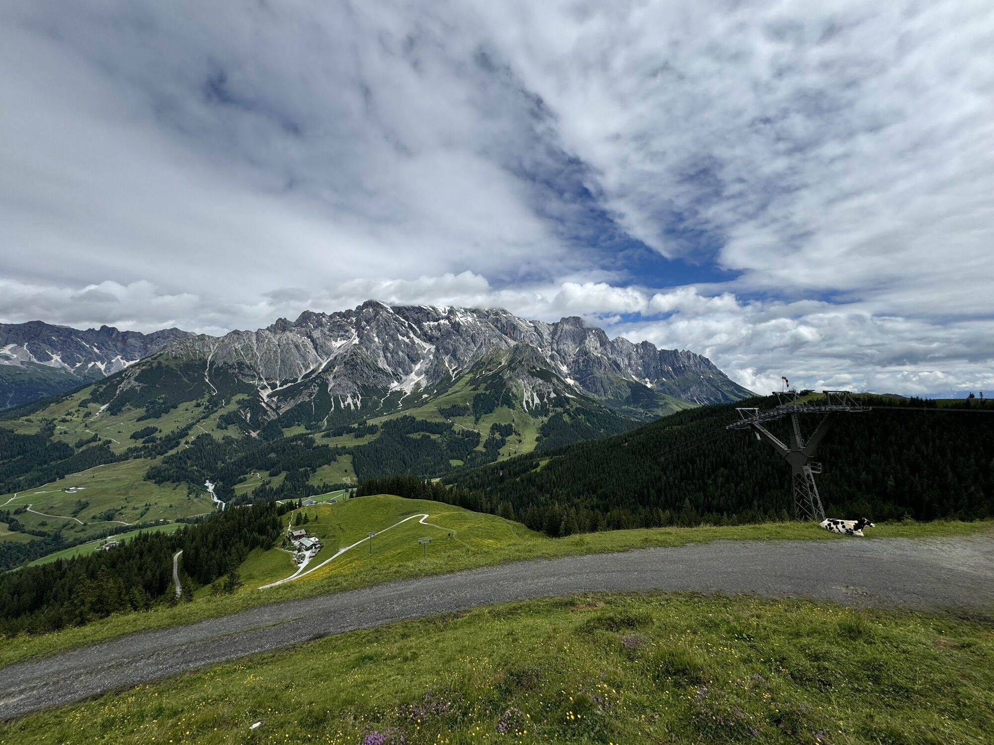
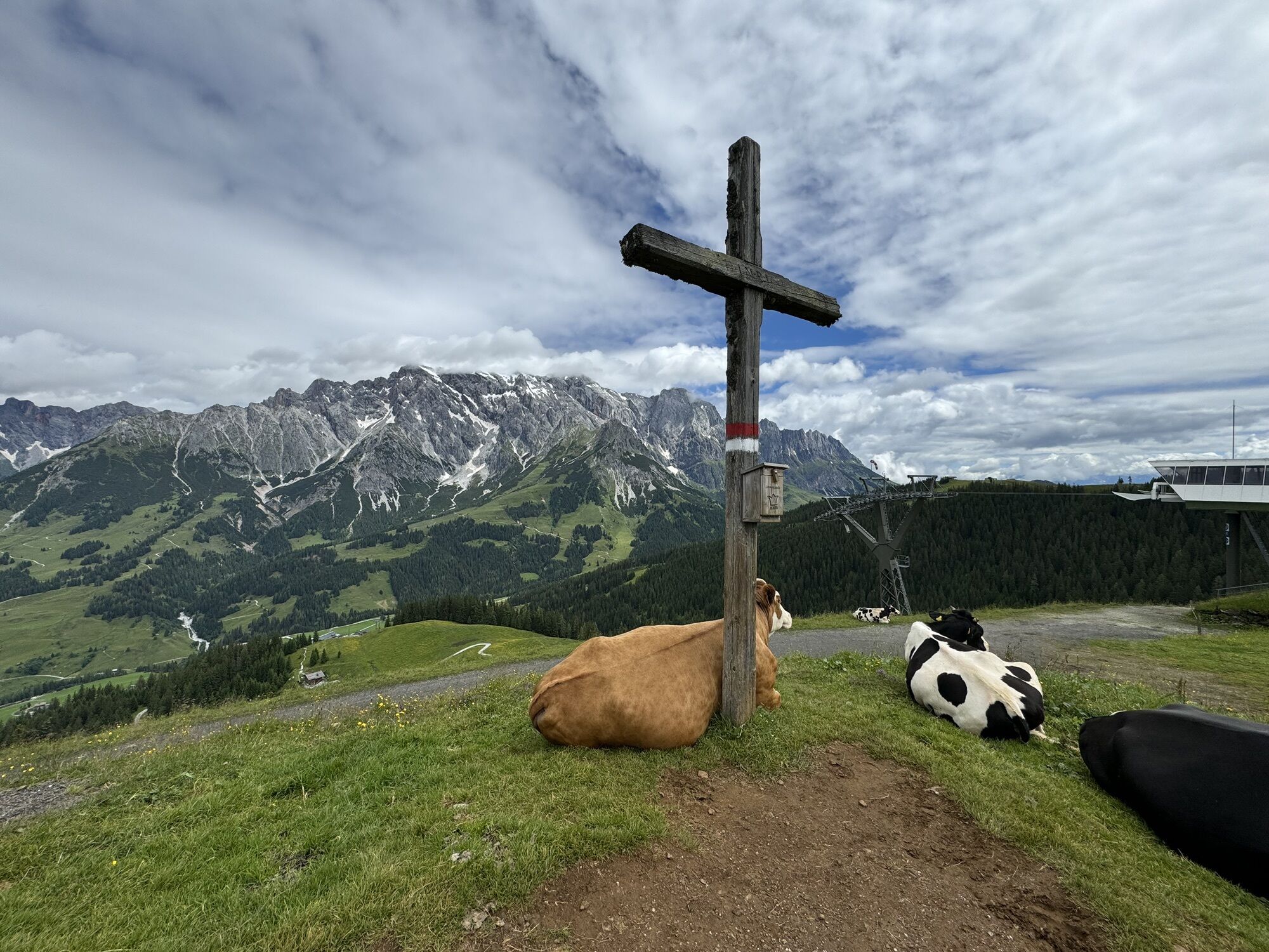
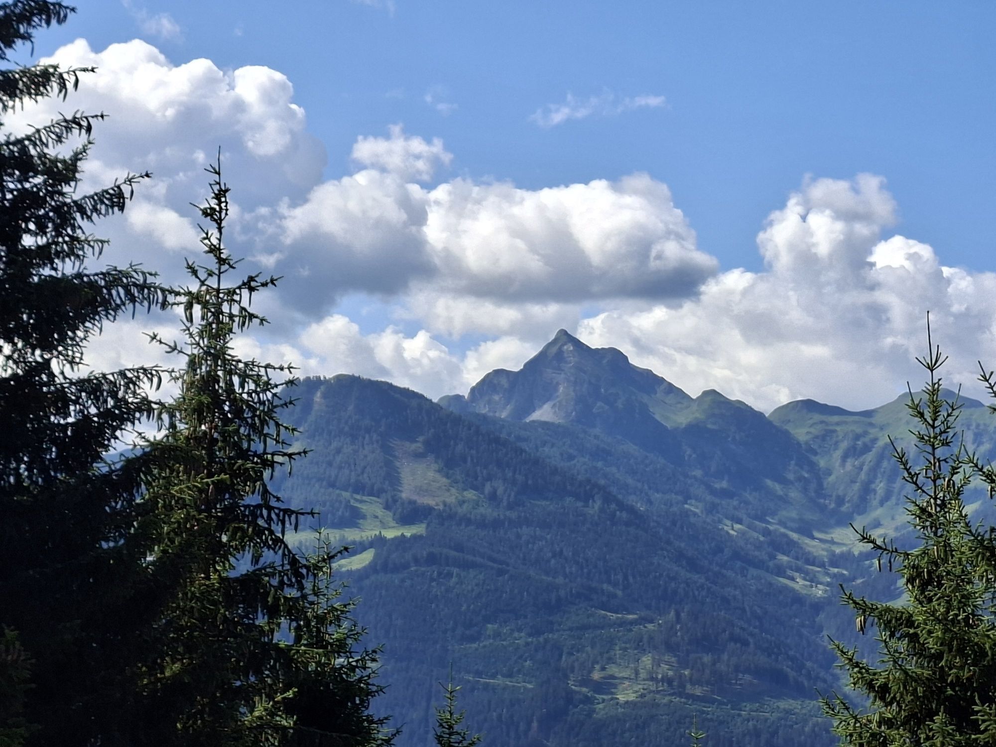
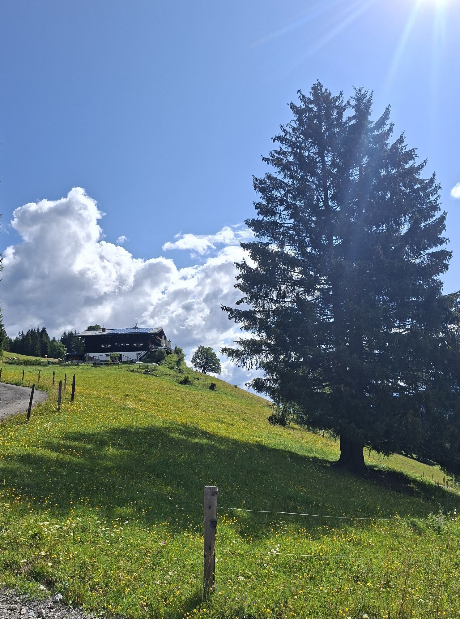
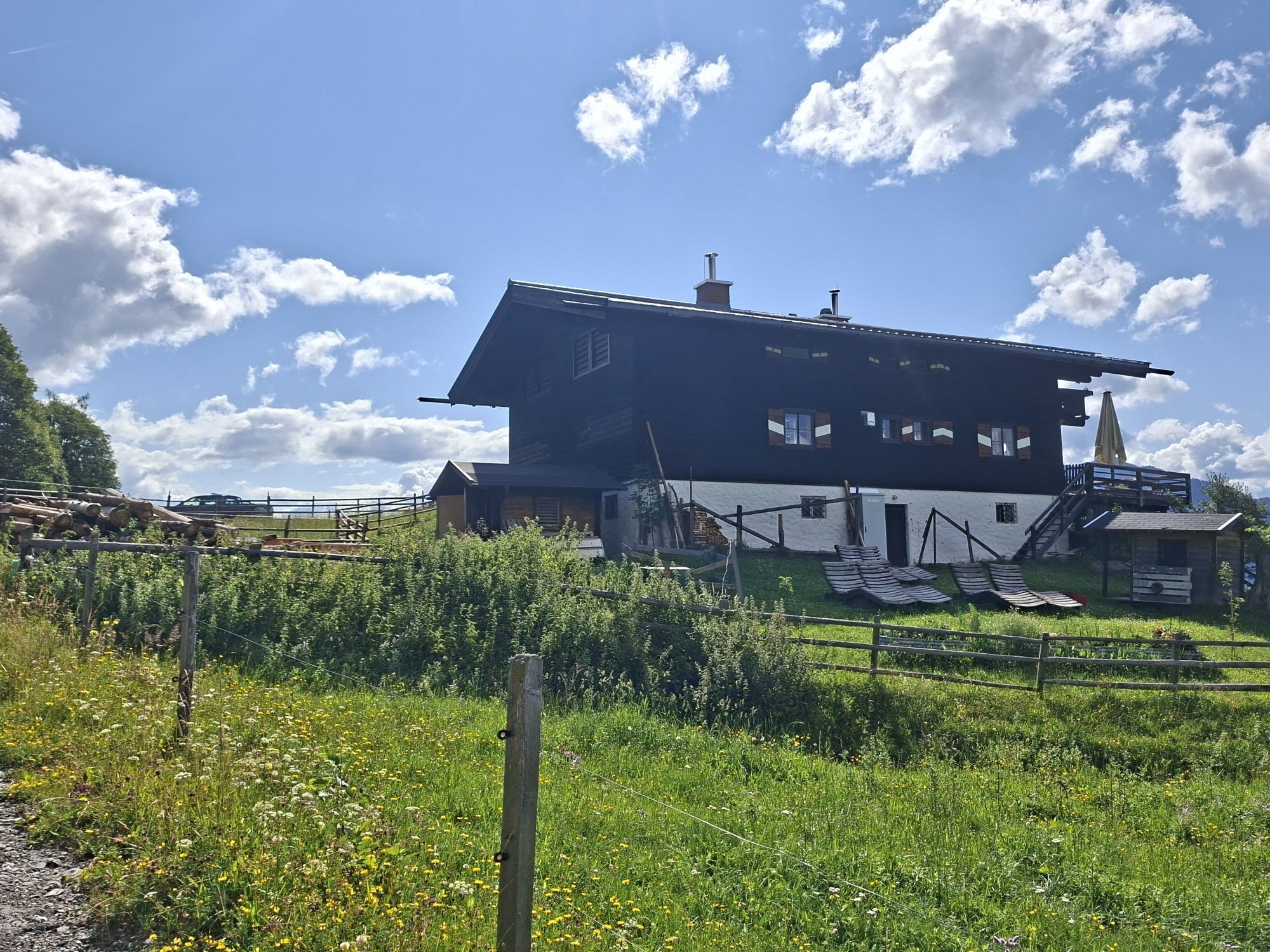
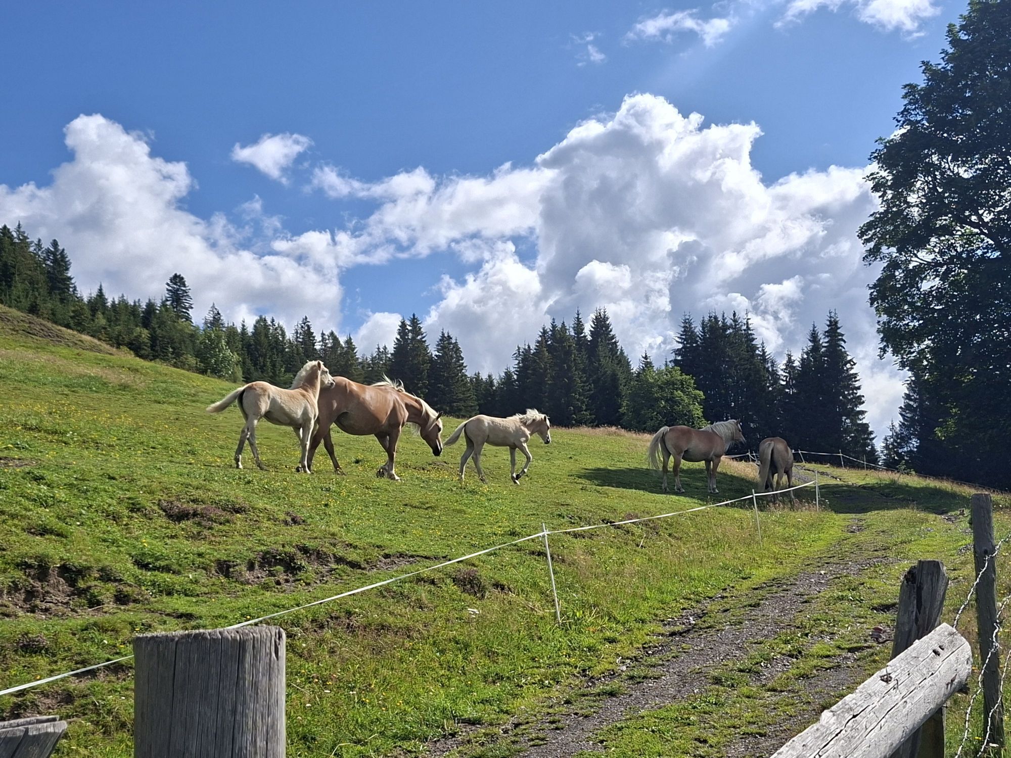
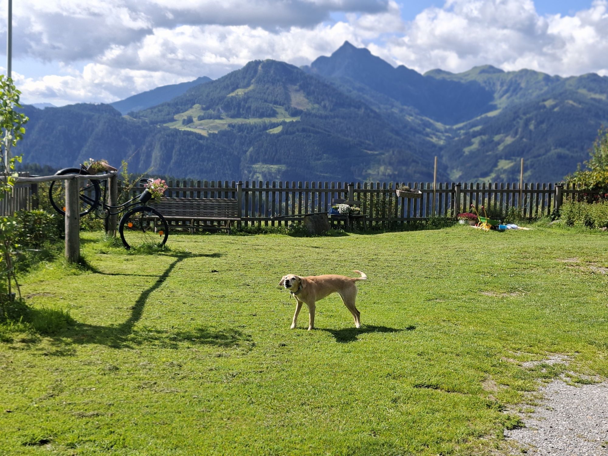
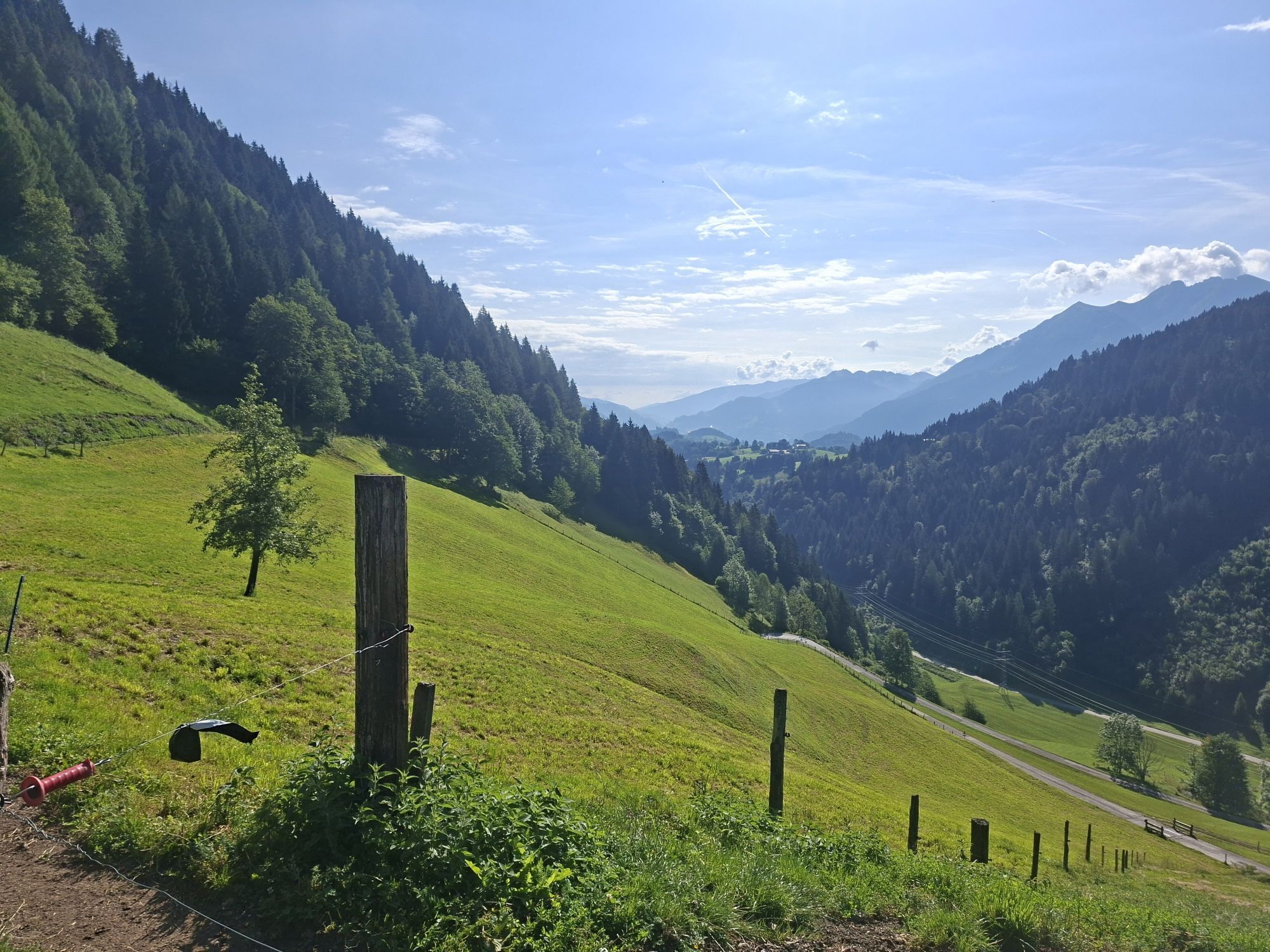
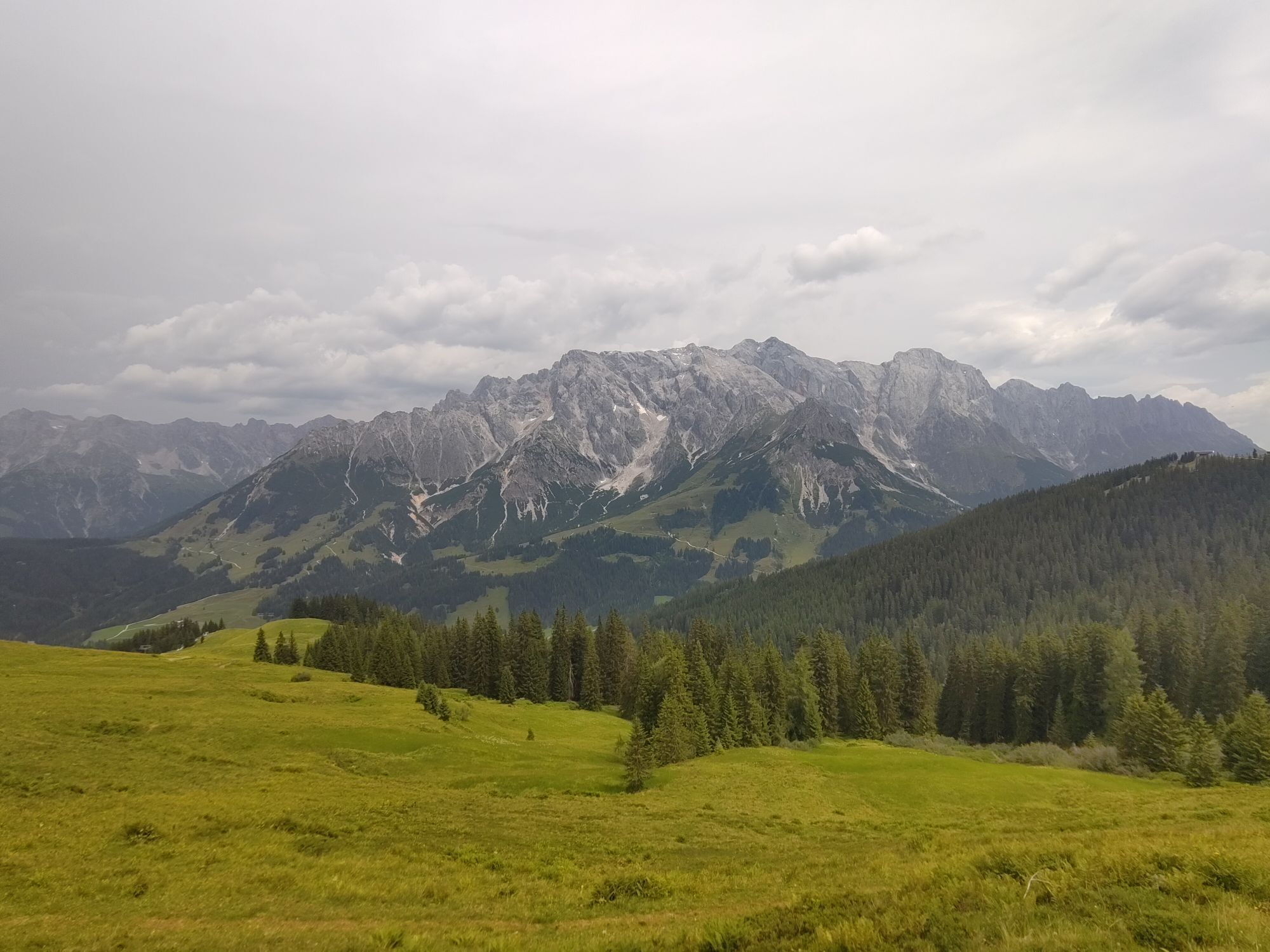
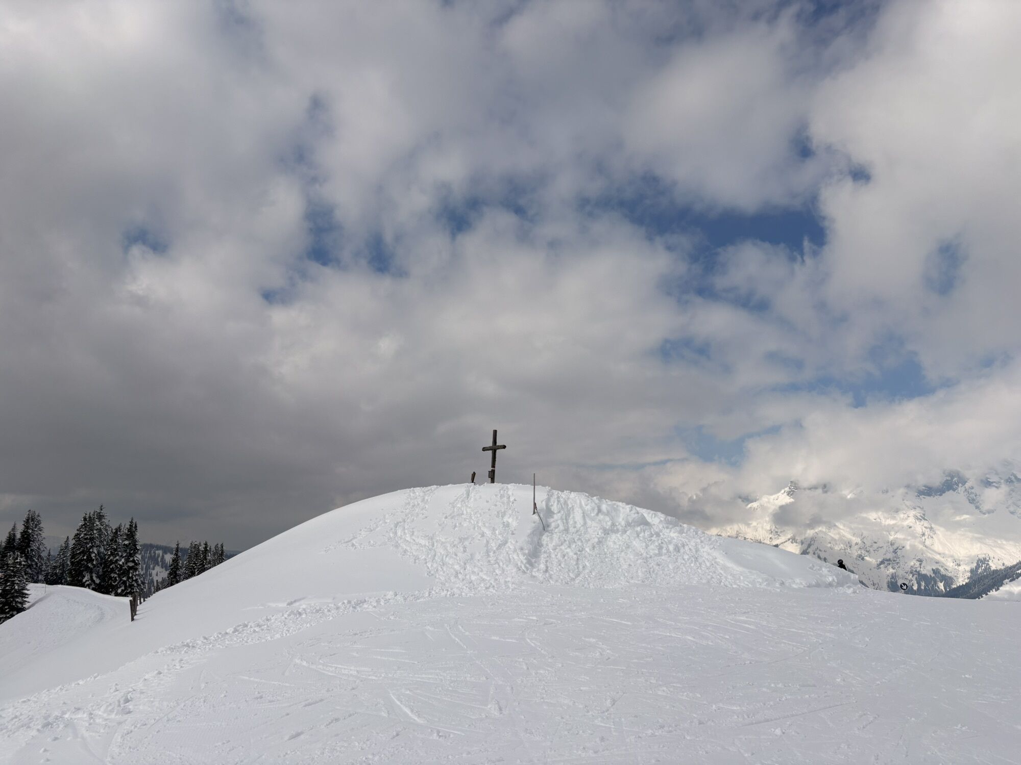
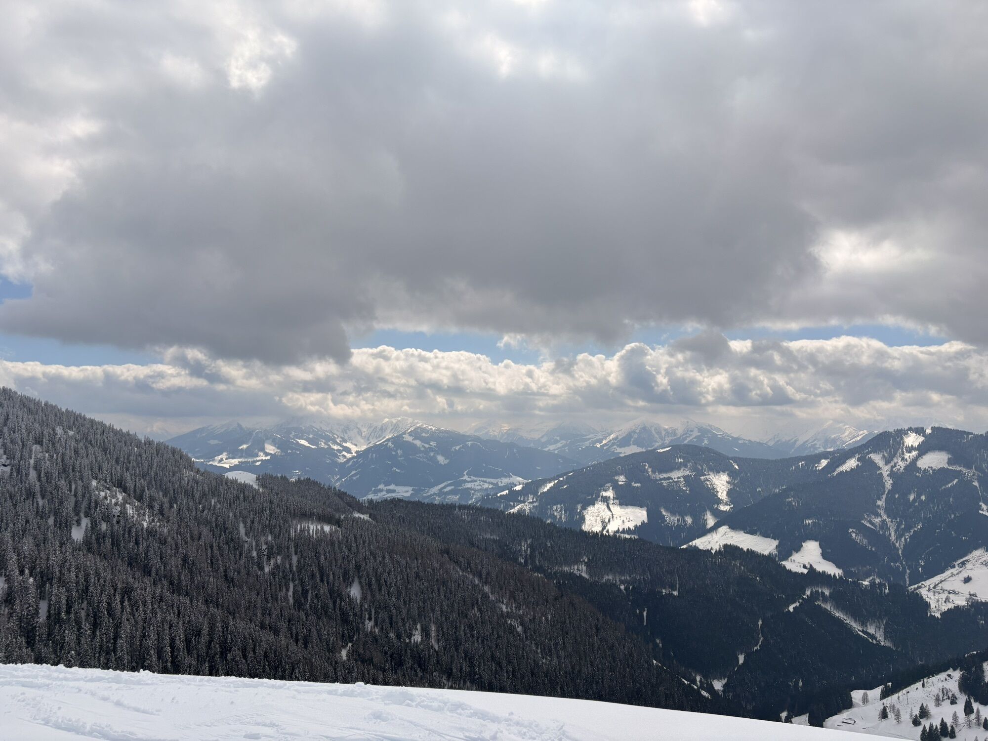
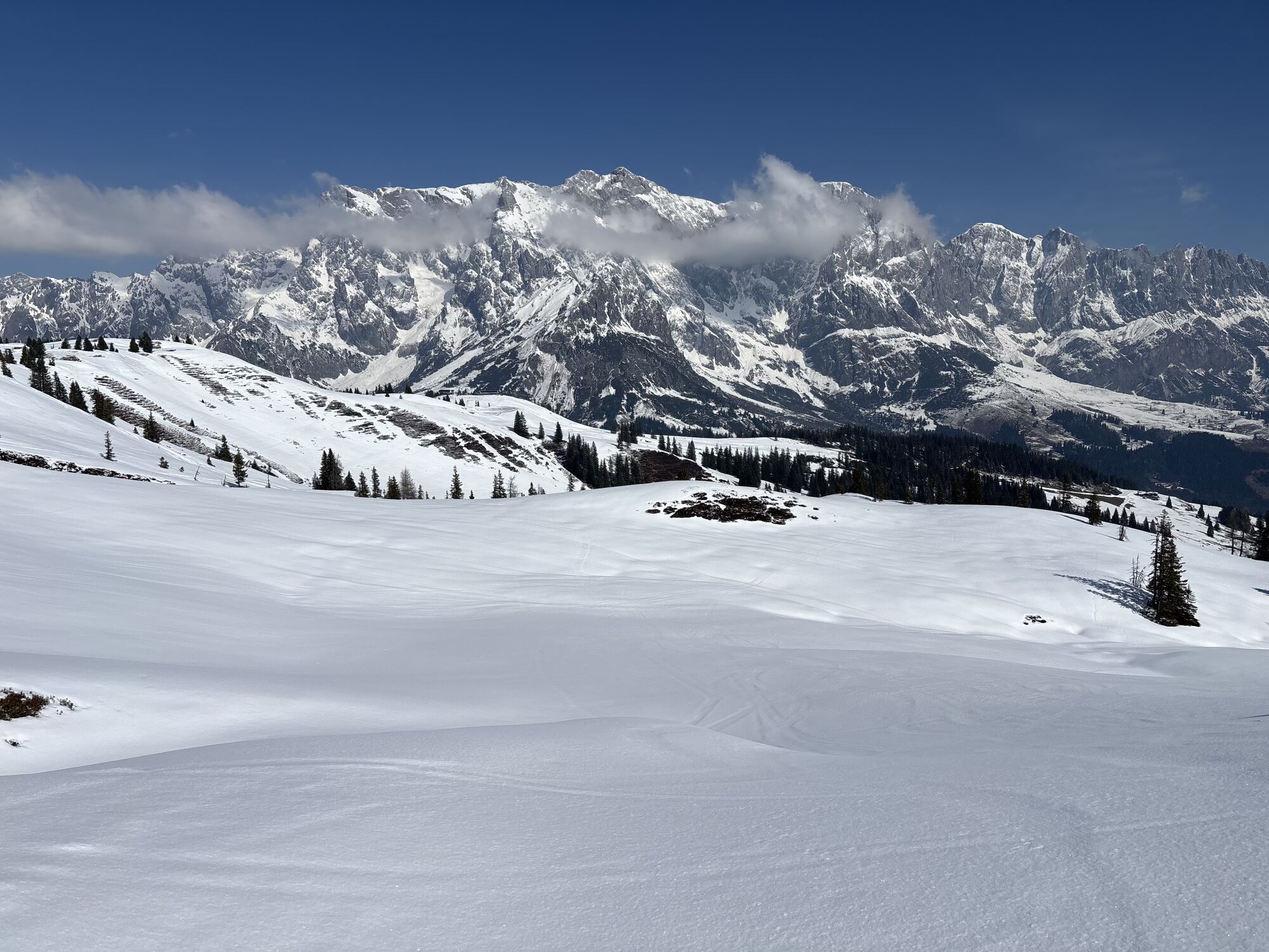
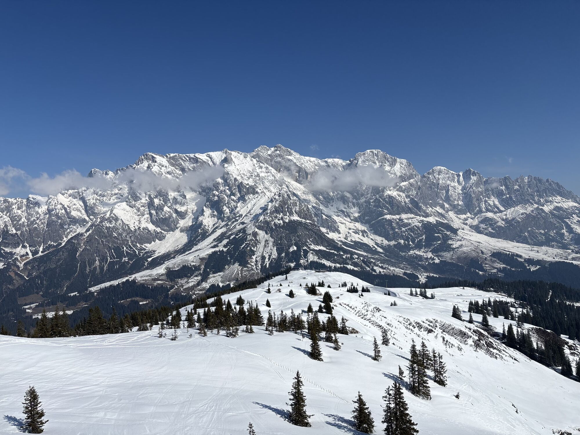
We wouldn't be surprised if you let out a loud cheer several times during today's day. The stage is somewhat longer than the previous ones, at about 7.5 hours walking time, but it also has some extraordinary...
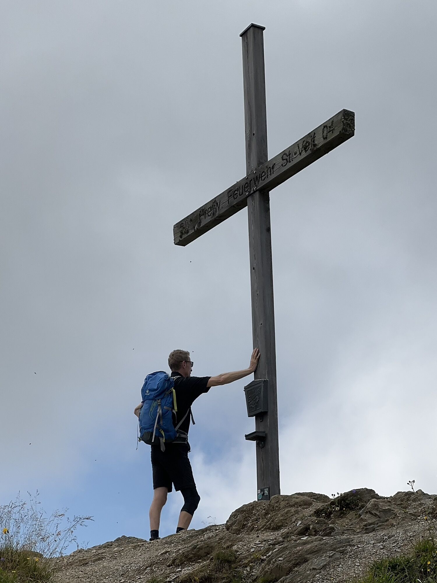
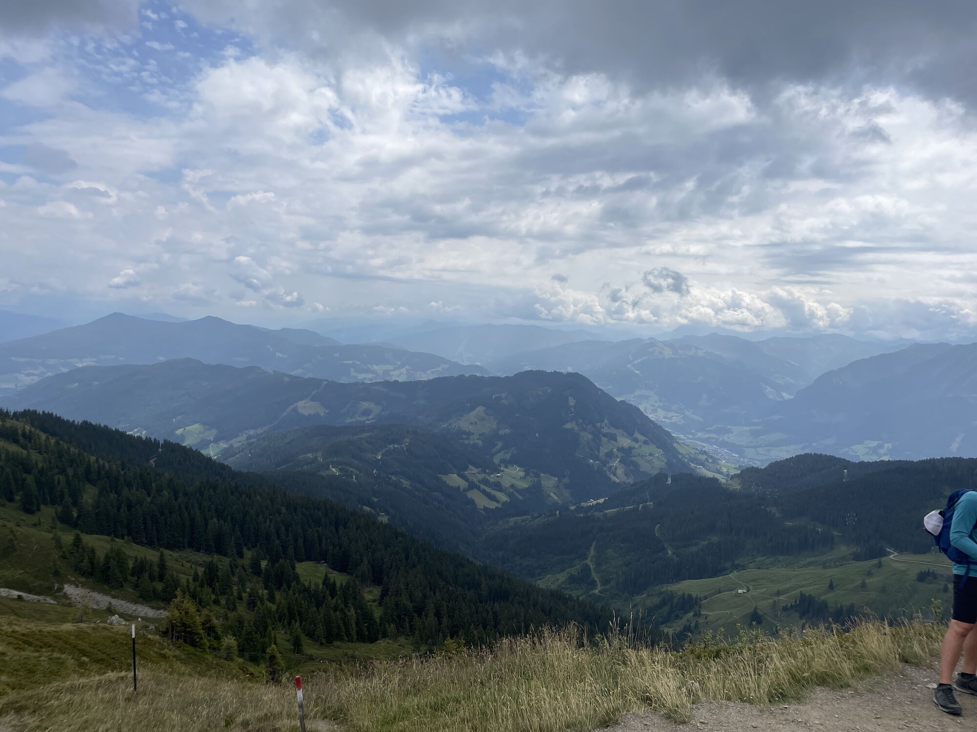
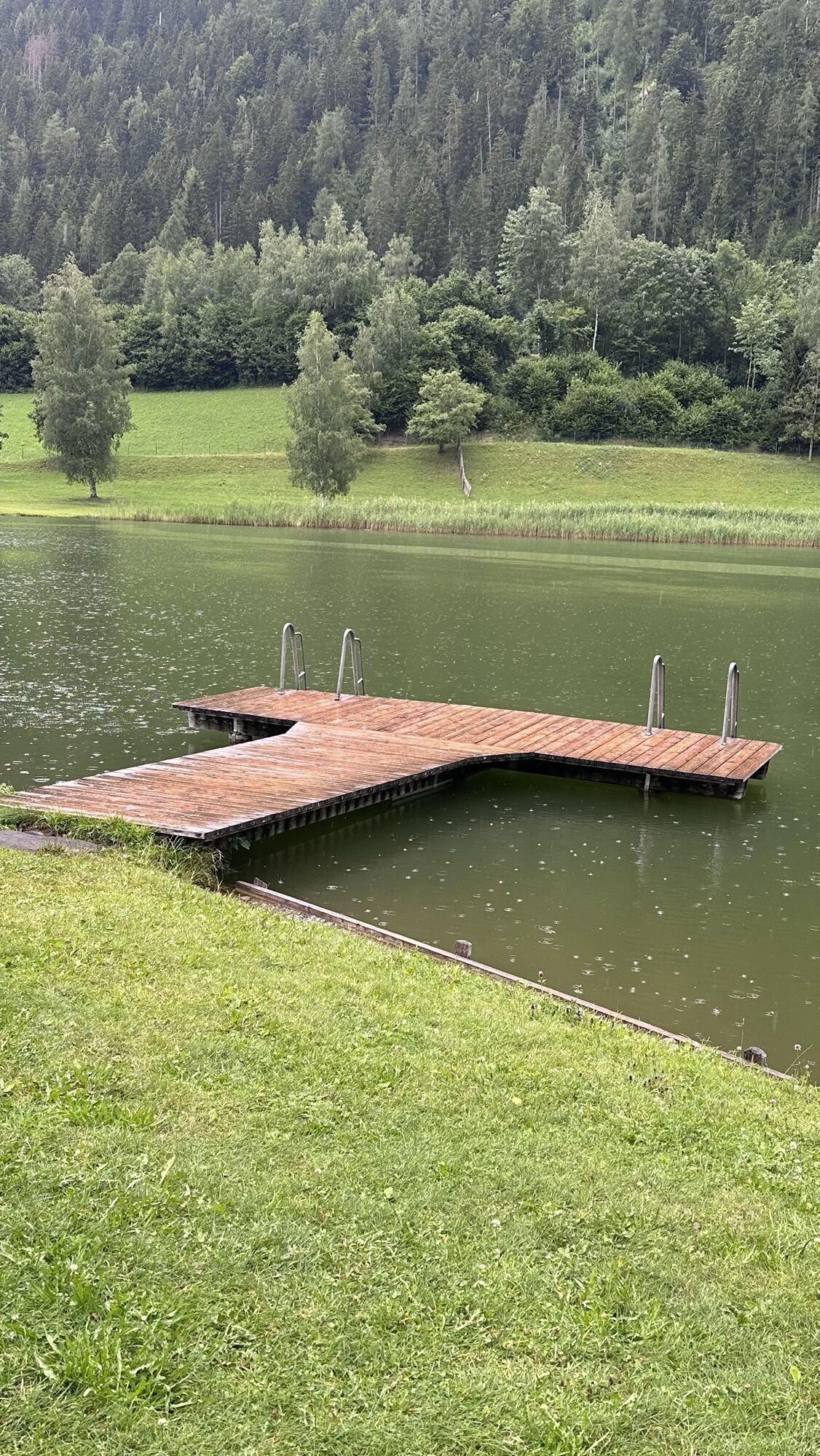
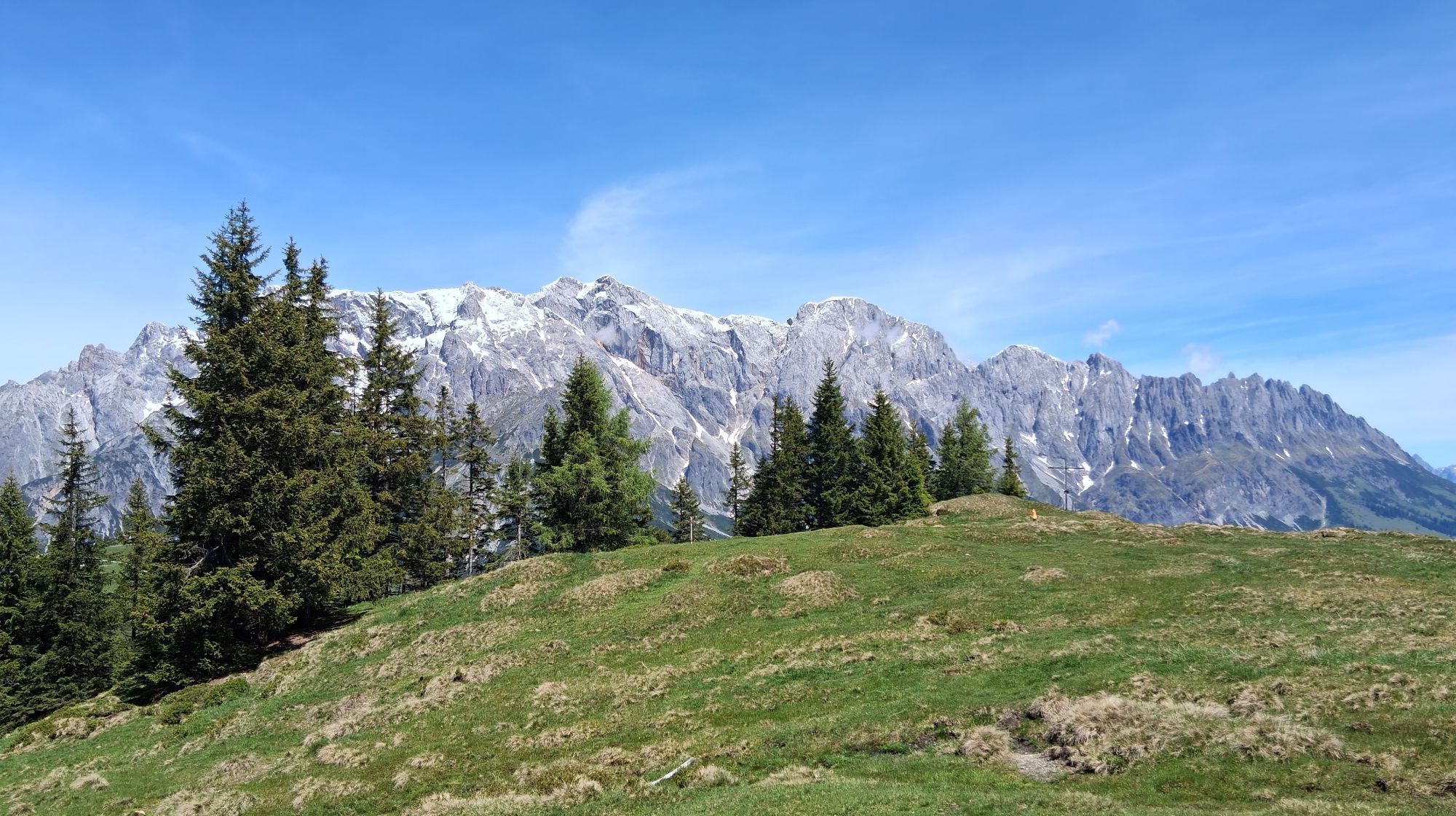
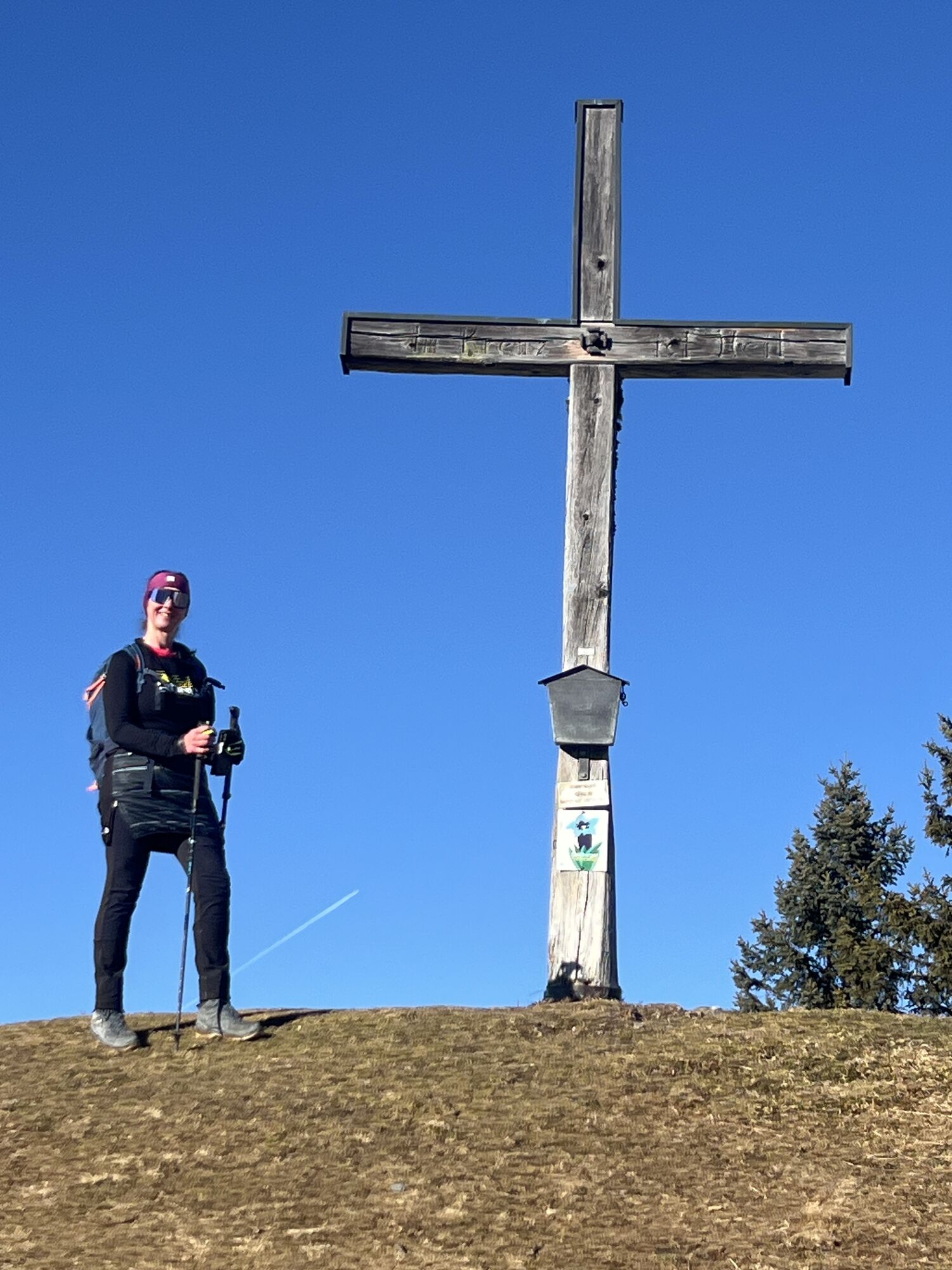
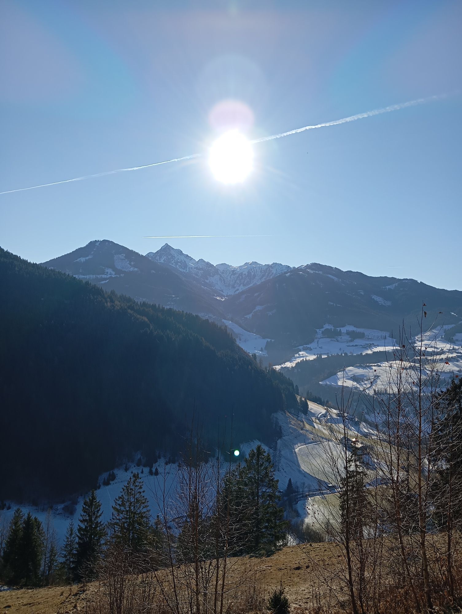
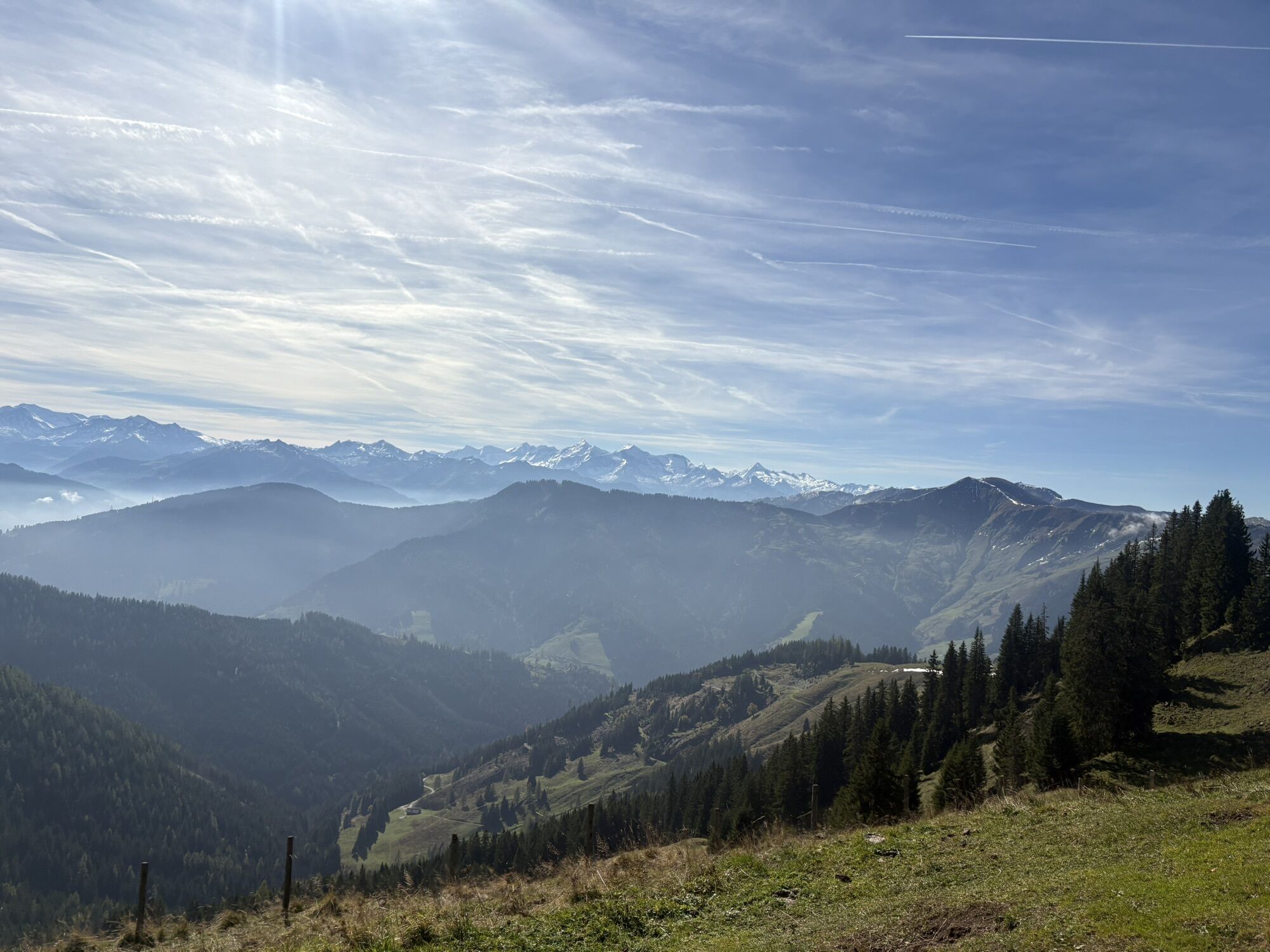
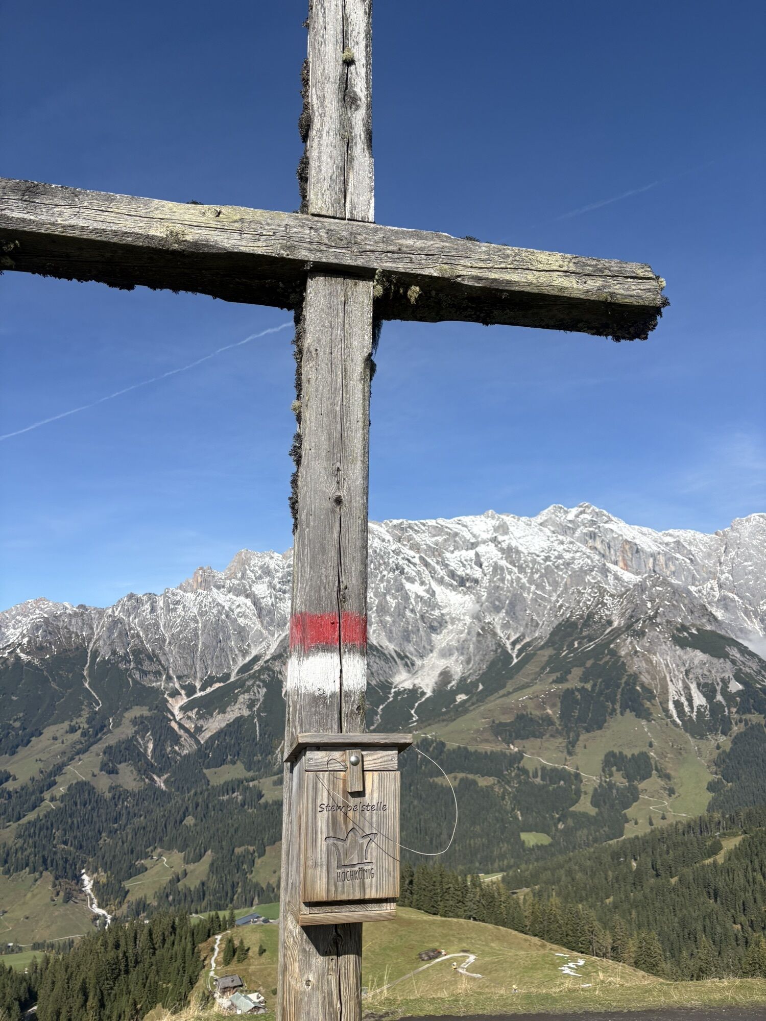
We wouldn't be surprised if you let out a loud cheer several times during today's day. The stage is somewhat longer than the previous ones, at about 7.5 hours walking time, but it also has some extraordinary highlights. And we are not even talking about the fantastic distant and panoramic views in all directions. The literal first highlight is the ascent of the 1,938-meter-high Schneeberg cross, where due to its exposed location a cool breeze can blow even on warm summer days. The Gamskögerl is another small summit along the way, before reaching one of the most beautiful mountain lakes in SalzburgerLand. The Böndlsee is the declared stage destination and even though it rarely gets warmer than 24 degrees Celsius, you will hardly be able to resist it. Take off your hiking boots and put on your swimwear, that's our recommendation. You have earned it after more than 18 kilometers! For those who still have the energy at the end of the day, a visit to the pretty town of Goldegg is recommended: a parish church with an early Gothic fresco, a castle, blooming gardens, a nostalgic swimming pool, and well-known culinary addresses could perfectly round off the day.
Alpine pasture route tip
The Salzburg sunny terrace, especially the spa town St. Veit, is famous for its healing bioclimate. Vitus Winkler, one of the best cooks in SalzburgerLand, is at the stove in the gourmet hotel Sonnhof. The 4-hut chef is known for his nature-oriented and homeland-connected herb cuisine in the style of alpine culinary art. In Goldegg, the castle and the Rohrmoos smithy can be visited as part of guided tours.
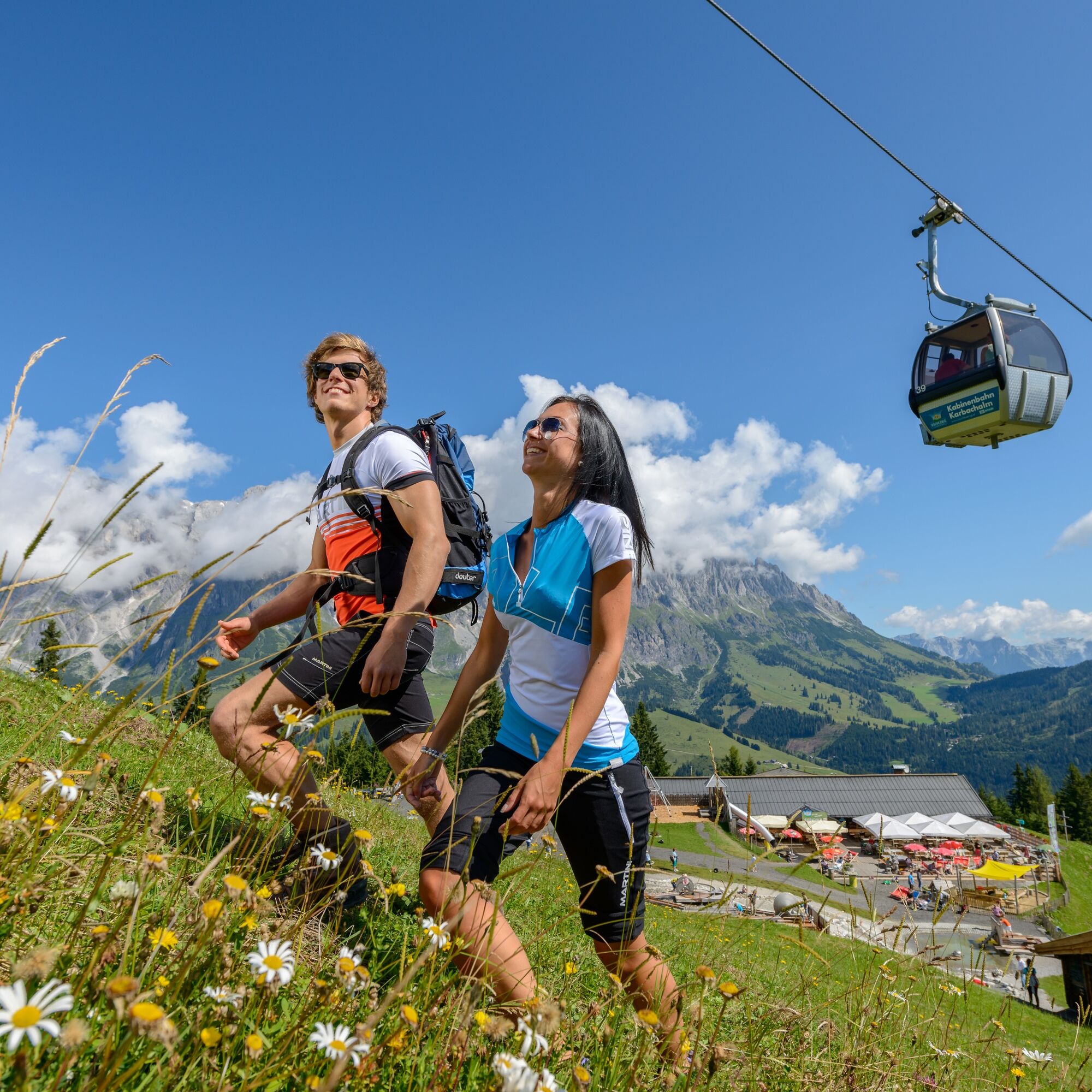
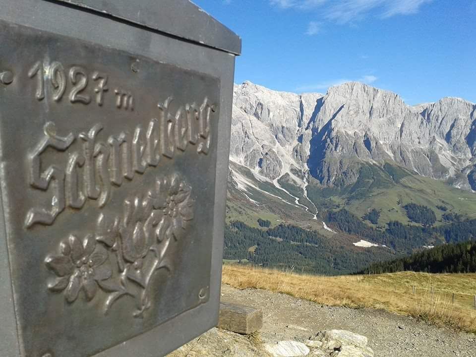
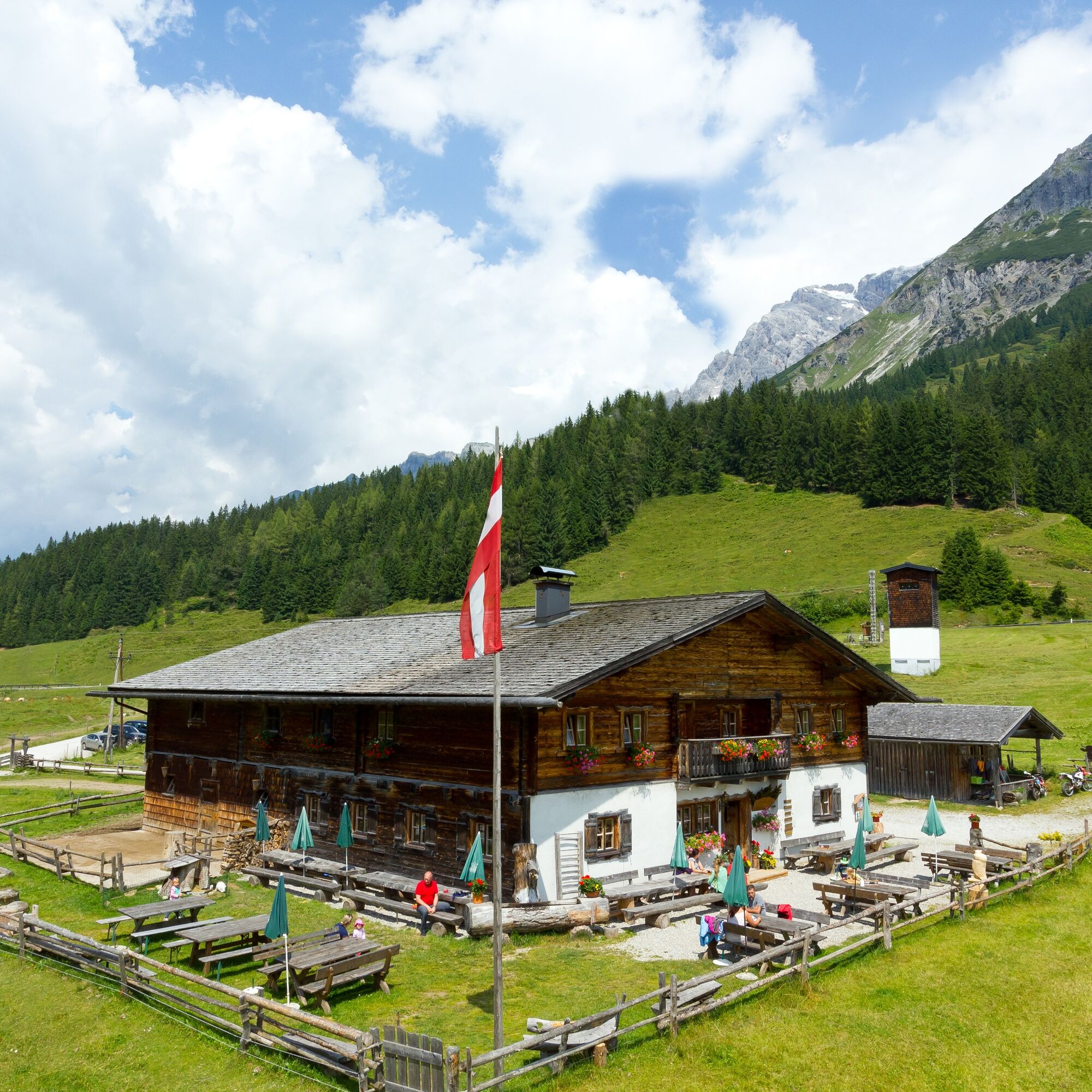
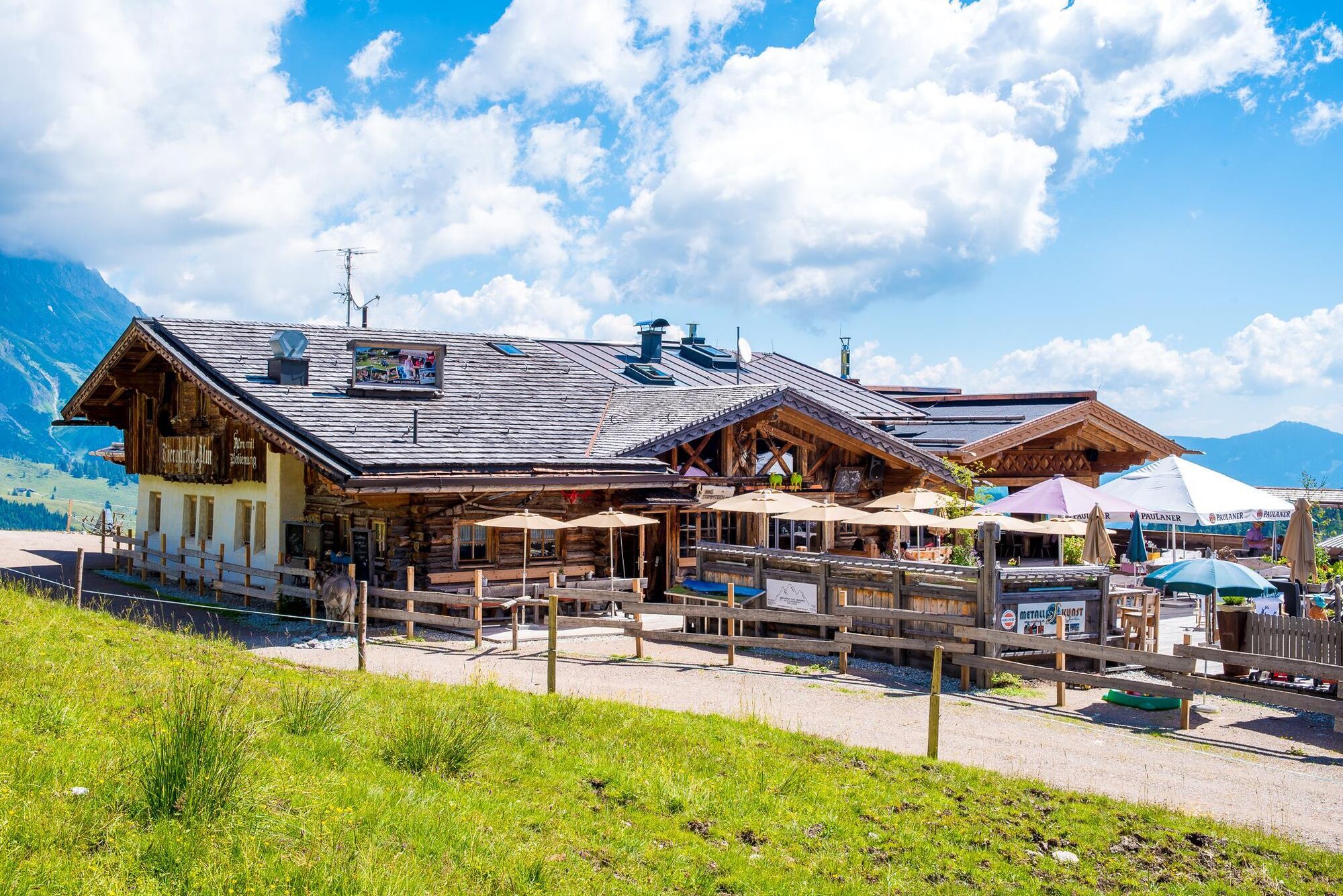
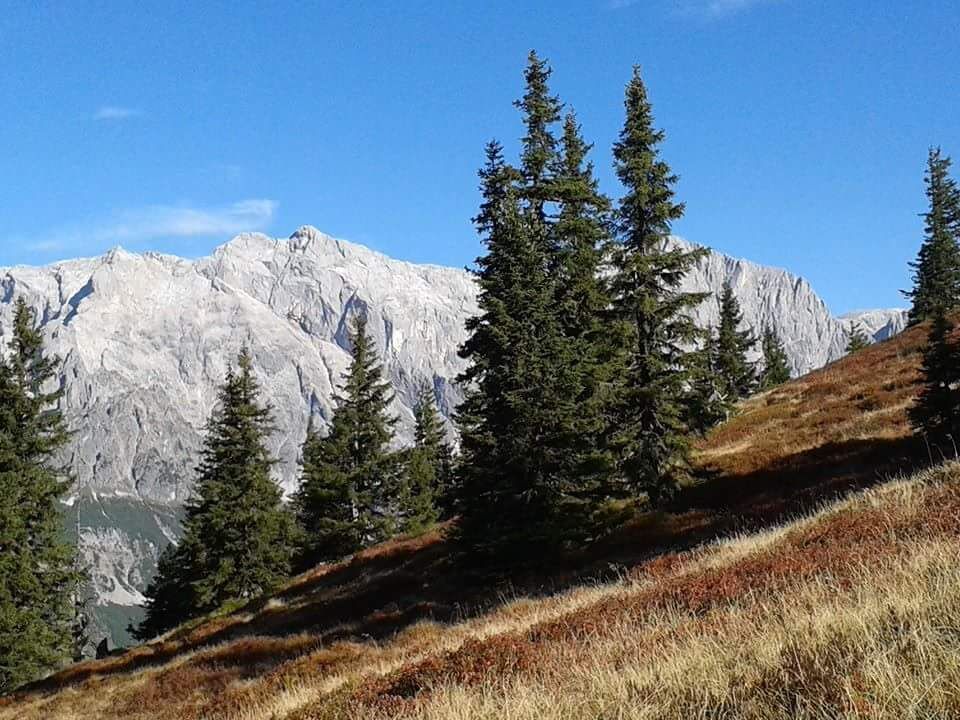
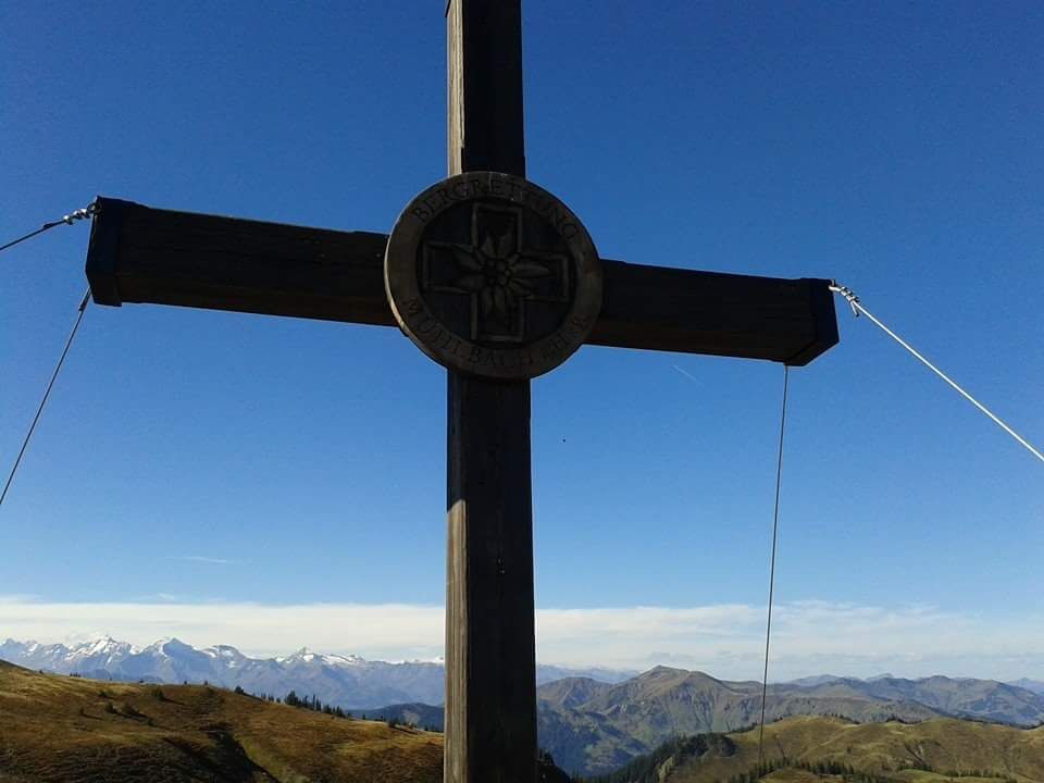
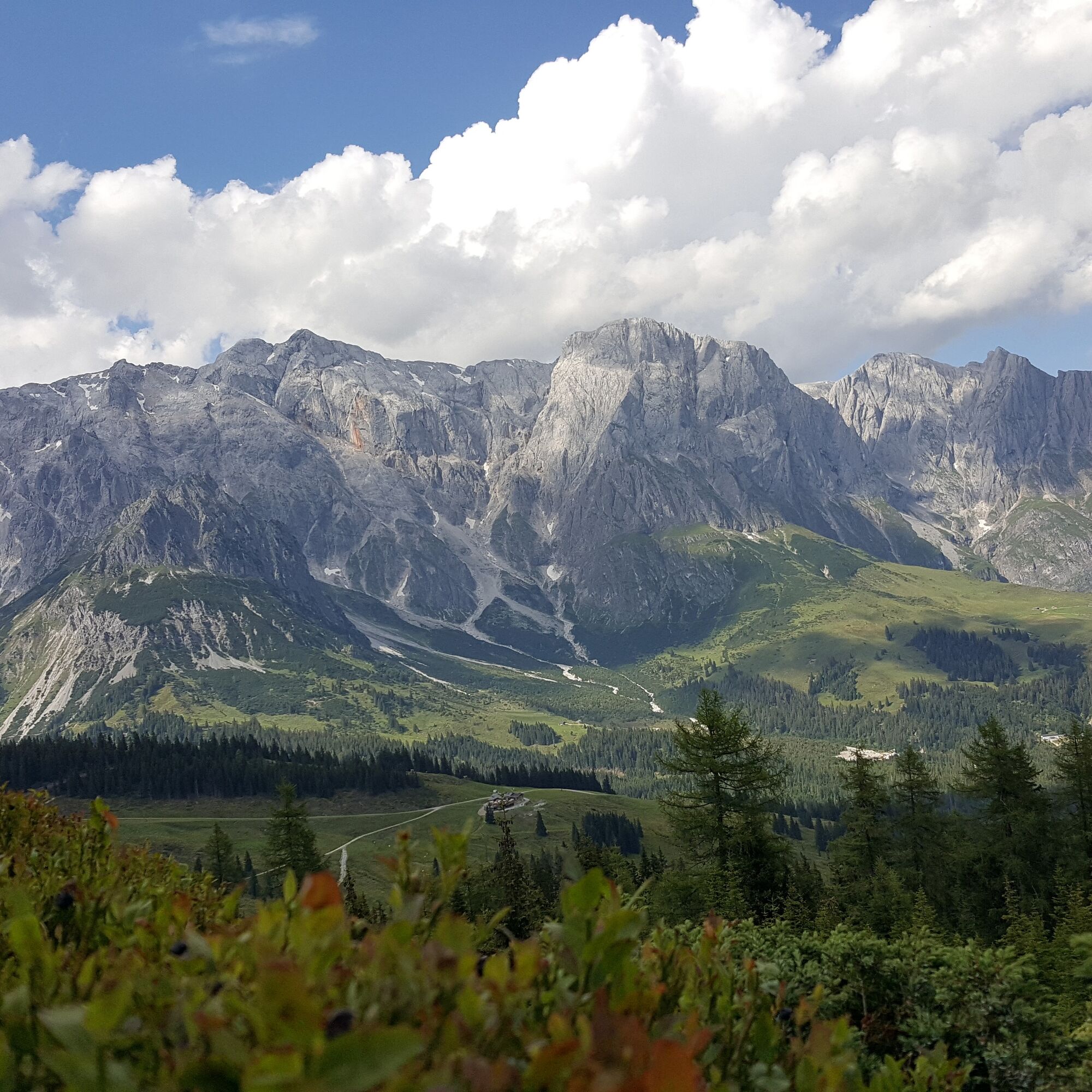
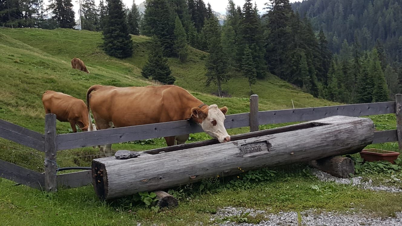
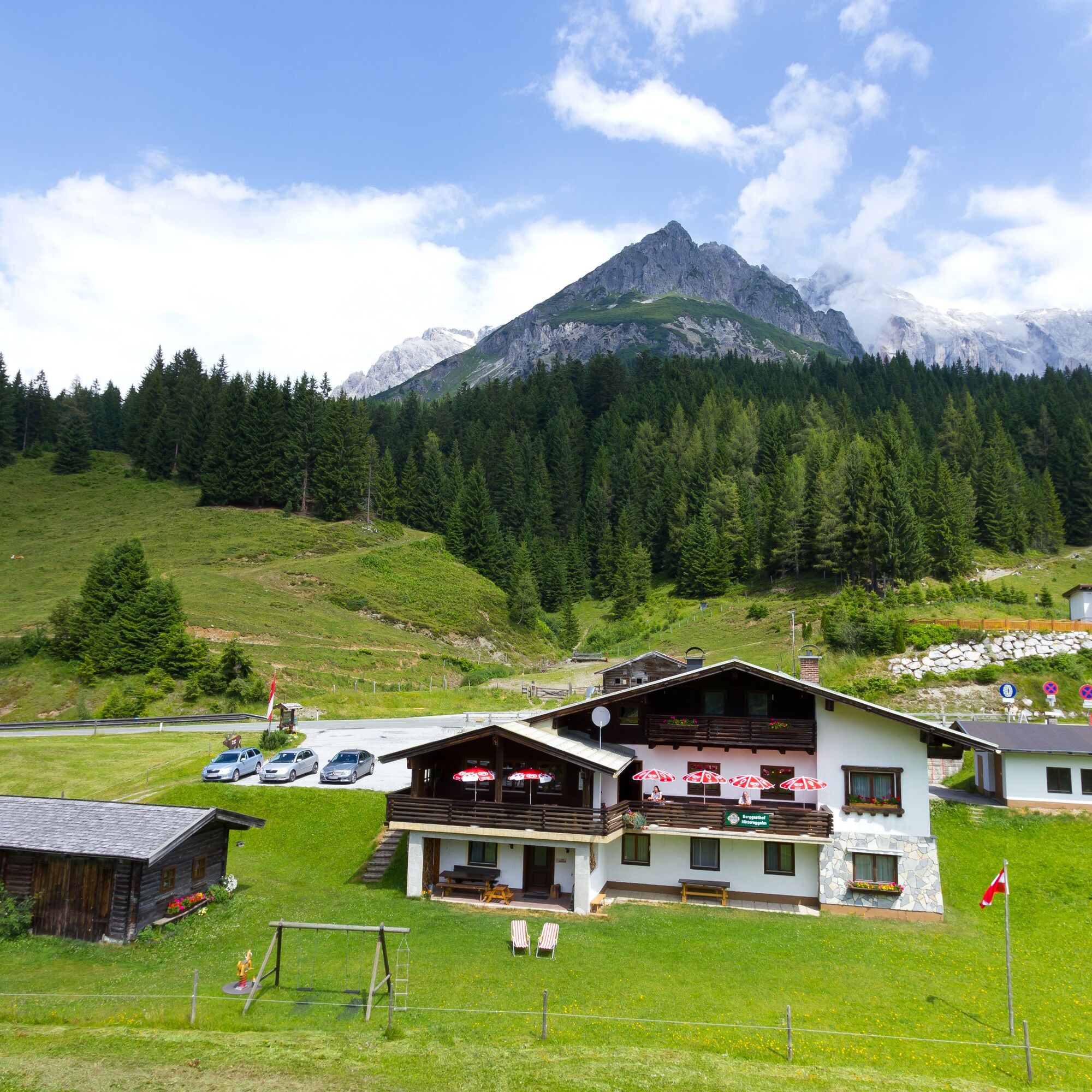
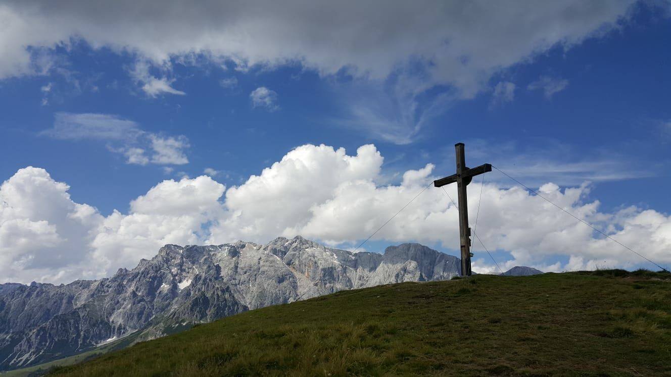
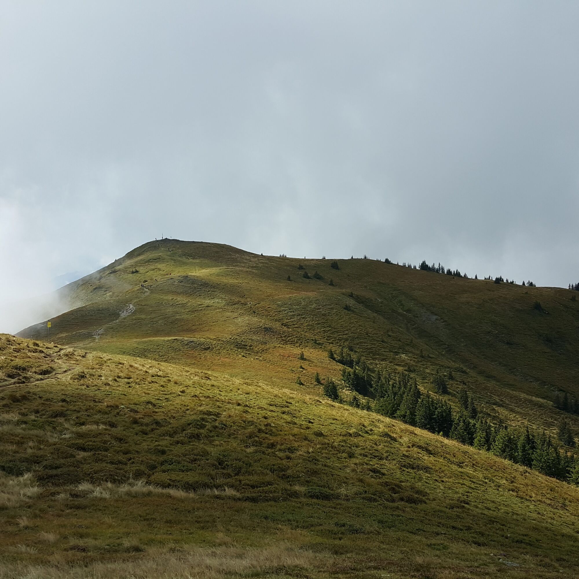
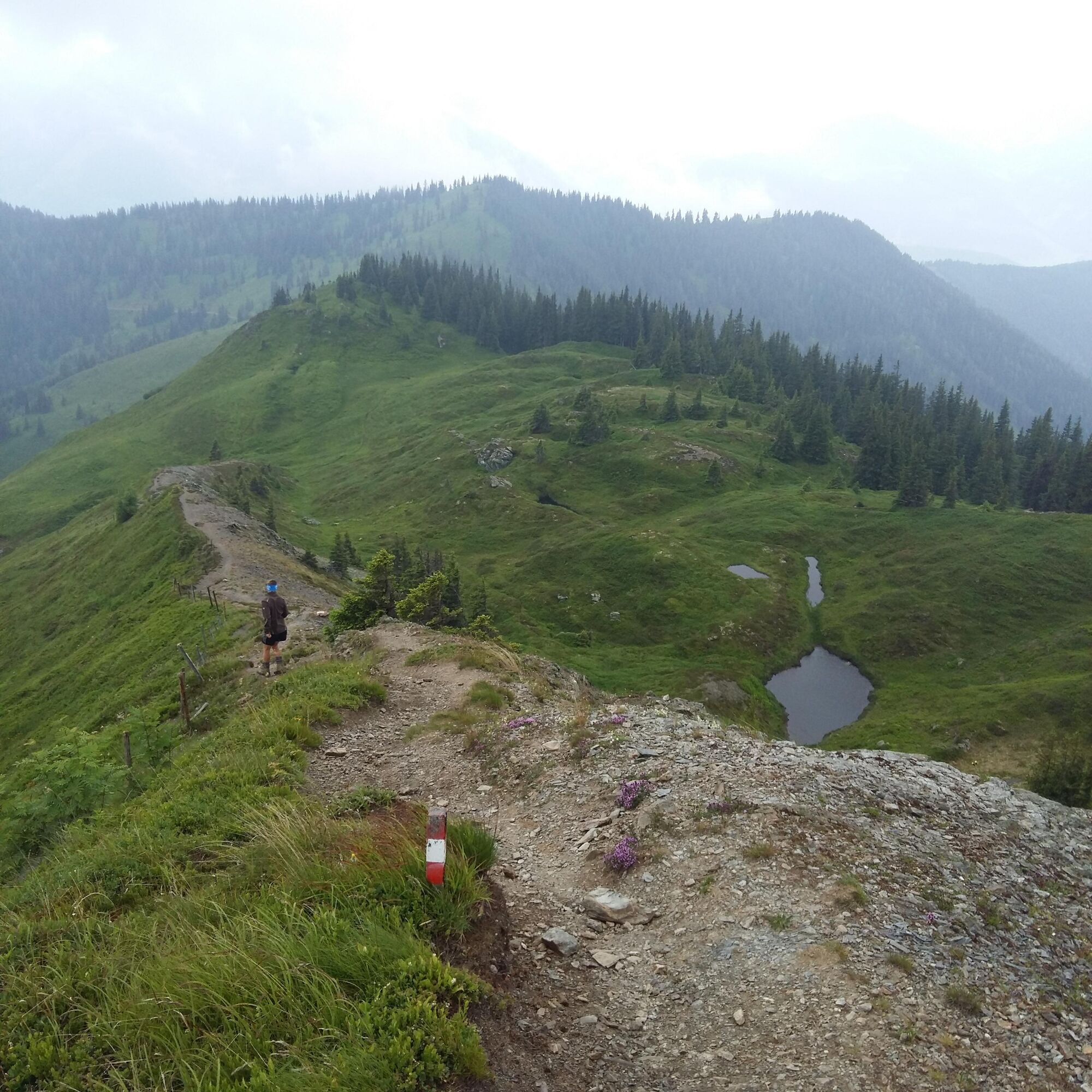
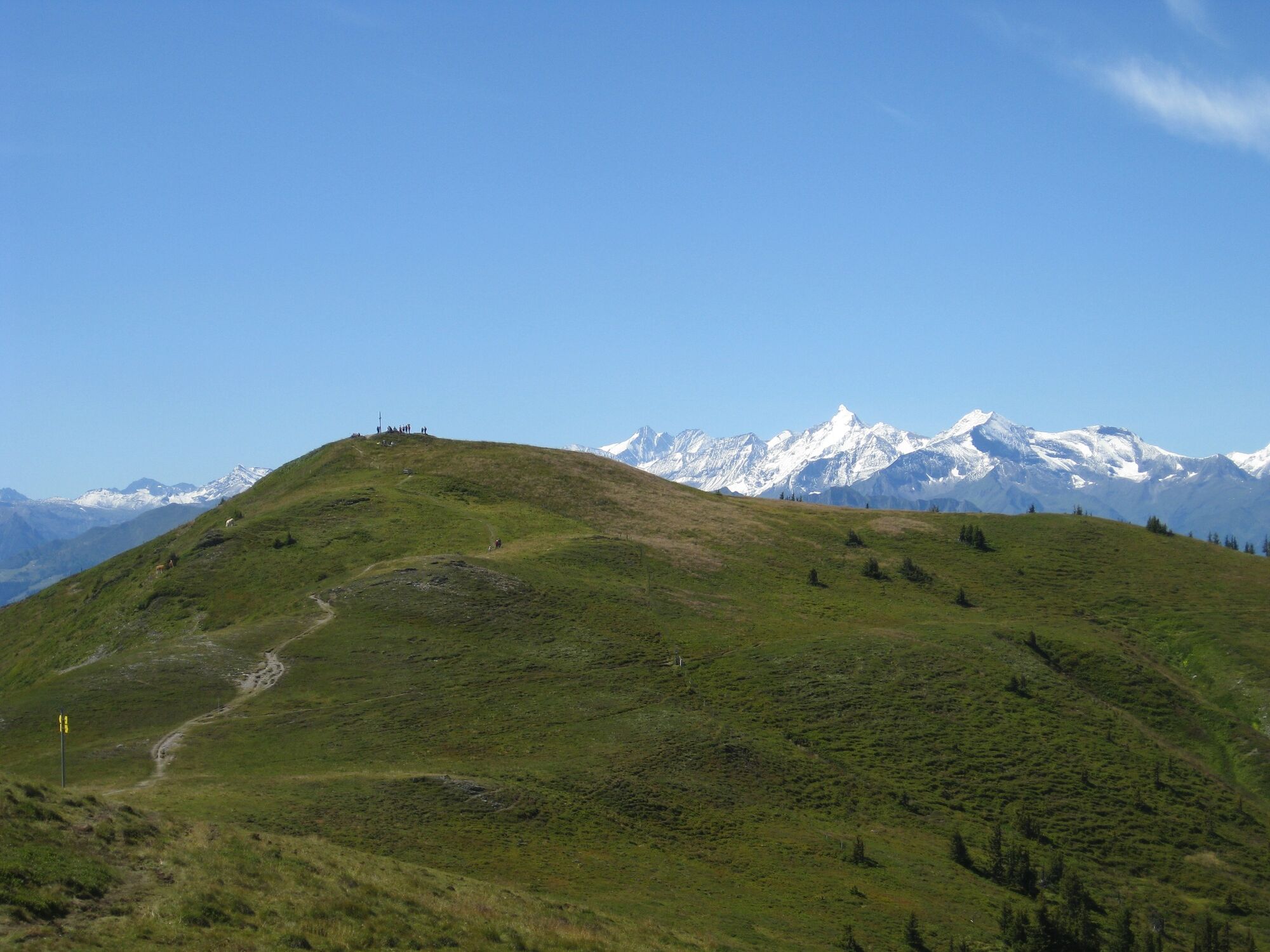

The alpine pasture route leads steeply uphill from the town center of Dienten near Café Bauer via path no. 15 to the Bürglalm, which is a Hochkönig herb alpine pasture. Below the Bürglalm cable car, the trail continues more gently to the Wastlhöhe, then to the Sunnhüttl, the Klausalm cross, and the Schneeberg cross.
The panoramic view from this 1,938-meter-high summit, which is reached after about three hours of walking, is considered the absolute highlight of this stage!
The descent towards the south follows the ridge past small lakes, then turns right into the forest. From here, you go through a small ravine where after about 350 meters, the path branches left. A narrow footpath leads through the forest, then on an alpine pasture path running above the Grünsteinalm down to the forest road. This is crossed before the path leads up to the Hochegg, with the path running below the summit.
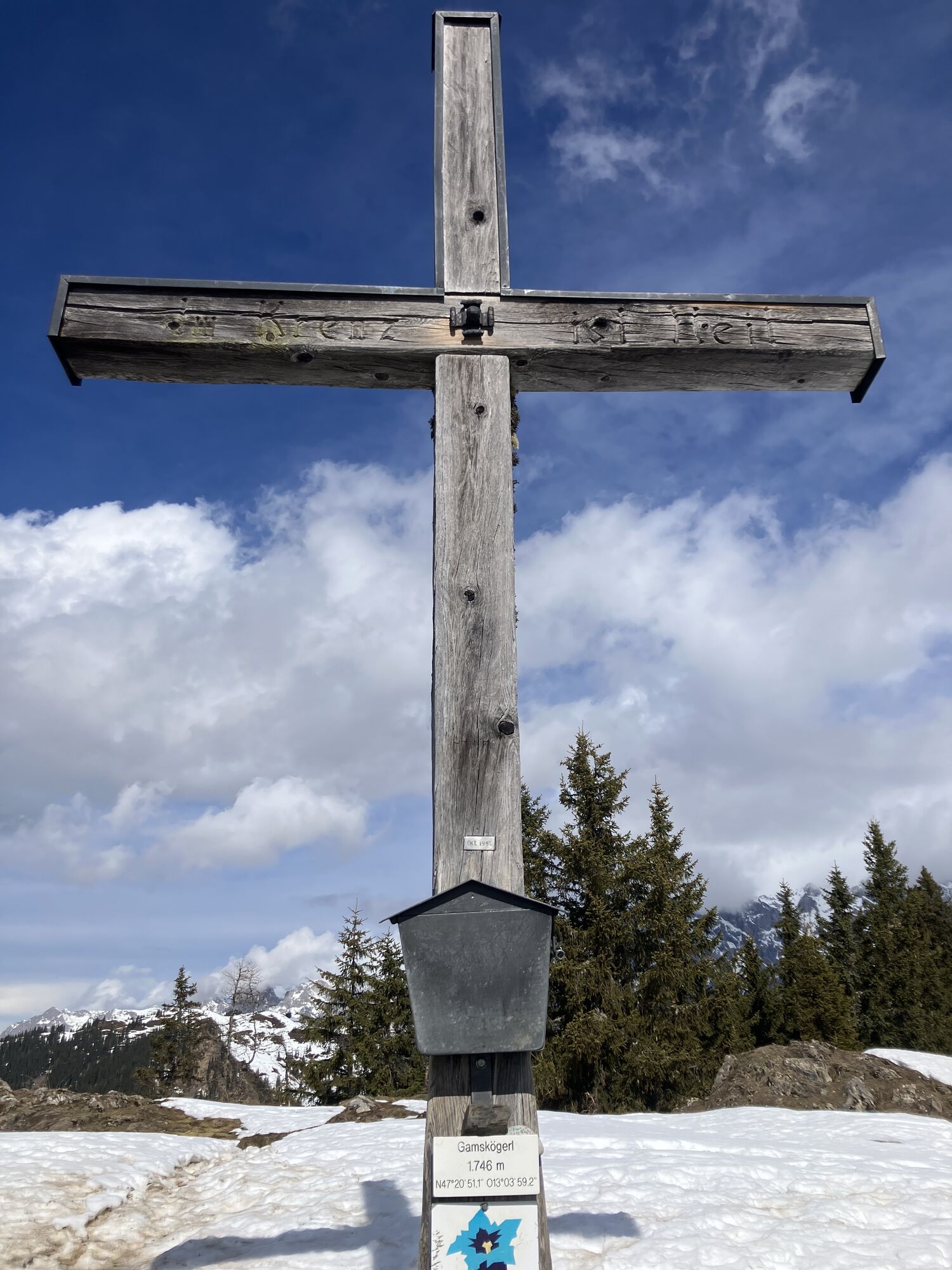
Next follows a relatively flat descent to the Gamskögerl (1,747 m). This is a small summit that can be climbed from the southeast or partially circled and climbed from the south. The reward for this effort is a magnificent panoramic view.
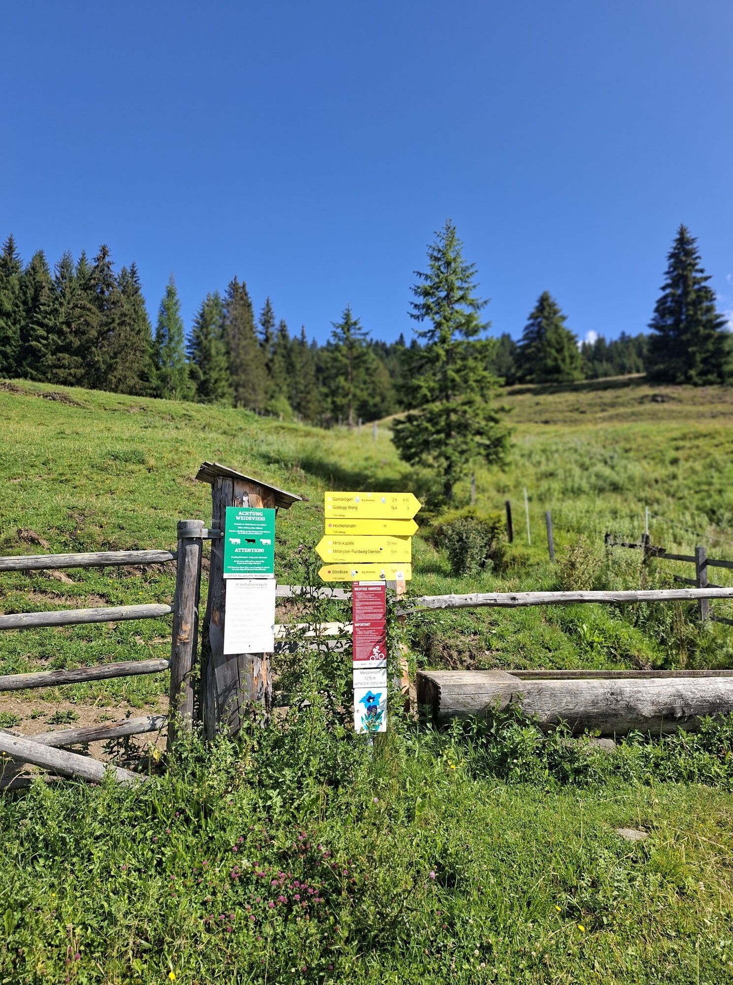
The initially steep descent to Goldeggweng leads down to the forest road, which provides access to the Roßbach and Oberweng alpine pastures. After crossing the forest road at a junction, a footpath leads down the meadow to the left. The alpine pasture route follows the newly constructed forest road for a short distance and then branches off again onto a footpath (pay attention to trail signs!). This forest road is crossed twice more before it goes steeply downhill through the "Wenger Forest" to the serviced Meislsteinalm, where you can reward yourself on the panoramic terrace with homemade delicacies such as sweet yeast dumplings with vanilla sauce for today's summit victory. From the Meislsteinalm, it continues over a well-maintained forest road to the also serviced Hackeralm and further to the idyllic Böndlsee, today's stage destination.
Descent variant 3a
From the Schneeberg cross, there is a descent option via the Althausalm to St. Veit on the Salzburg sunny terrace. (Walking time: approx. 3.5 hours, approx. 1,170 meters of descent)
Descent variants 3b
Those who want to hike back from Dienten to Mühlbach am Hochkönig choose the descent from the Schneeberg cross via the Karbachalm cable car or via the Zapferlalm (3b) and Scheppalalm to the valley station of the Karbachalm cable car. (Walking time: approx. 3 hours, approx. 1,080 meters of descent)
Refreshment (R) and overnight accommodation (O) options
Bürglalm (1,593 m) (approx. 1.5 hours walking time from stage start), May to October (closed Fridays), Tel. +43 6461 426
Meislsteinalm (1,270 m) (approx. 6 hours walking time, approx. 2.5 hours from the Schneeberg cross summit), May to 26.10. (closed Mondays & Tuesdays), company holiday: 17.6. – 2.7.2024, Tel. +43 664 3009820 R
Numerous refreshments and accommodation options in Goldegg am See (after approx. 7:30 hours (+ walking or travel time to Goldegg town center)), www.sonnenterrasse.at
Partner accommodation for Salzburger Almenweg Info and Booking Center by Trail Angels: Hotel am Schloss, more information at: https://www.hotelamschloss.at/, Tel. +43 6415 20940
Ano
Here you will find everything about the right hiking boots, the perfect equipment, and the correct walking technique.
To make your day in the mountains truly an unforgettable experience, we give you some tips so that you can stay safe in the mountains.
Coming from the north: Take the A10 Tauern motorway to the Bischofshofen exit, then continue on the B164 to the Dientner Sattel.
Coming from the south: Take the A10 Tauern motorway to the Bischofshofen exit, then continue on the B164 to the Dientner Sattel.
Dienten can be reached by public transport or with the Hochkönig hiking bus, which is free to use with the HochkönigCard.
For travel by private car, there are free parking spaces near the Dachegglift in Dienten where cars can be parked for longer periods. Please leave the "Almenweg parking clock" from the brochure in the parked car!
T2
All further information about the Salzburger Almenweg can be found here.
Alpine pasture route refreshment
At the Hackeralm, among other things, homemade delicacies from Angus and Wagyu cattle are served. Both cattle breeds are distinguished by their exceptional meat quality. The animals are allowed to enjoy the summer on the pastures around the Hackeralm.

Webové kamery z prohlídky
Mühlbach am Hochkönig
Maria Alm - Hochmaisbahn
Mühlbach am Hochkönig - Hotel Bergheimat
Bergstation Kings Cab
Golfplatz Goldegg
Golfplatz Goldegg
Dienten - Übergossene Alm Resort
Dienten - Almsee
Dienten - Übergossene Alm Resort
Dienten, Bürglalmabfahrt
Embach
Bürglalmbahn Abfahrt
Hochkönigblick
Hinterthal - Urslauerhof
Hinterthal - Urslauerhof
Získejte přehled Vždy živě na místě s více než 9 500 webkamerami. bergfex Jako uživatel Pro si nyní můžete zobrazit odpovídající webové kamery pro mnoho prohlídek v aplikaci prohlídky z. Můžete si tak přímo prohlédnout aktuální podmínky. Oblíbené prohlídky v okolí
- 4.9
Großarl: Aualm - Liechtensteinkopf - Aukopf - Schuhflicker - Schuhflickersee
středníTuristika 5.84 km - 4.8
Summit stormer route Lauskopf
heavyTuristika 8.16 km - 4.8
Summit storming route Taghaube
heavyTuristika 6.25 km - 4.7
About the "Four Huts circular route" to Windraucheggalm
středníTuristika 10.1 km - 4.8
Highlight Kitzlochklamm Classic round
středníTuristika 2.02 km - 4.6
Panorama hike to the Hochkeil
středníTuristika 6.07 km - 5.0
Großarl: Heukareck
středníTuristika 12.5 km - 4.6
Großarl: Mooslehenalm – Niggeltalalm – Viehhausalm
středníTuristika 5.44 km - 3.6
Wanderung zur Ostpreußenhütte in Werfen (1.630 m)
středníTuristika 11.2 km - 4.9
Hochkönig - Gipfel der Gefühle - Matrashaus
heavyTuristika 20.9 km
Pěší turistika a stopování


Nenechte si ujít nabídky a inspiraci pro vaši příští dovolenou
Vaše e-mailová adresa byl přidán do poštovního seznamu.





