



Geo cycle route Doberschütz - Wurzen

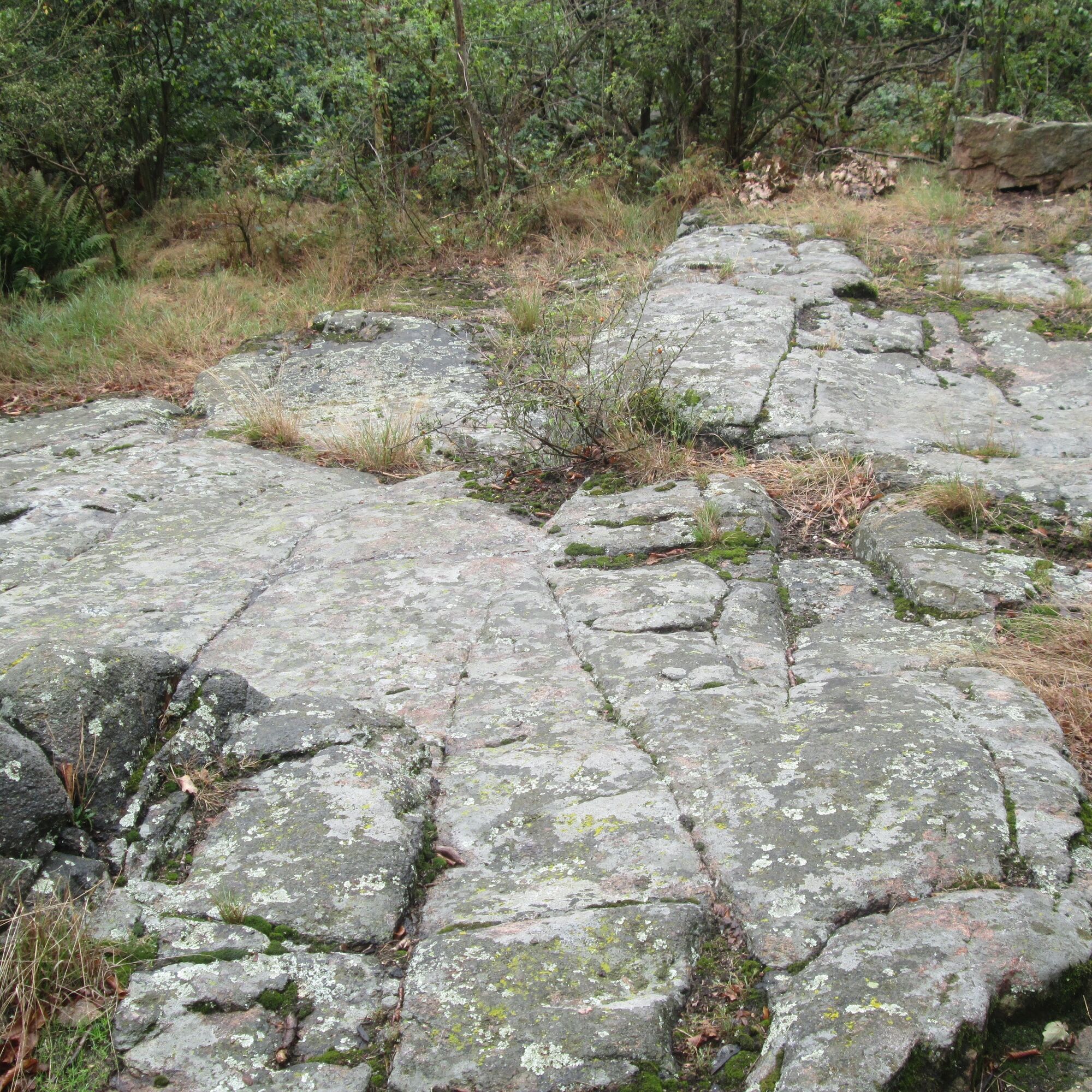
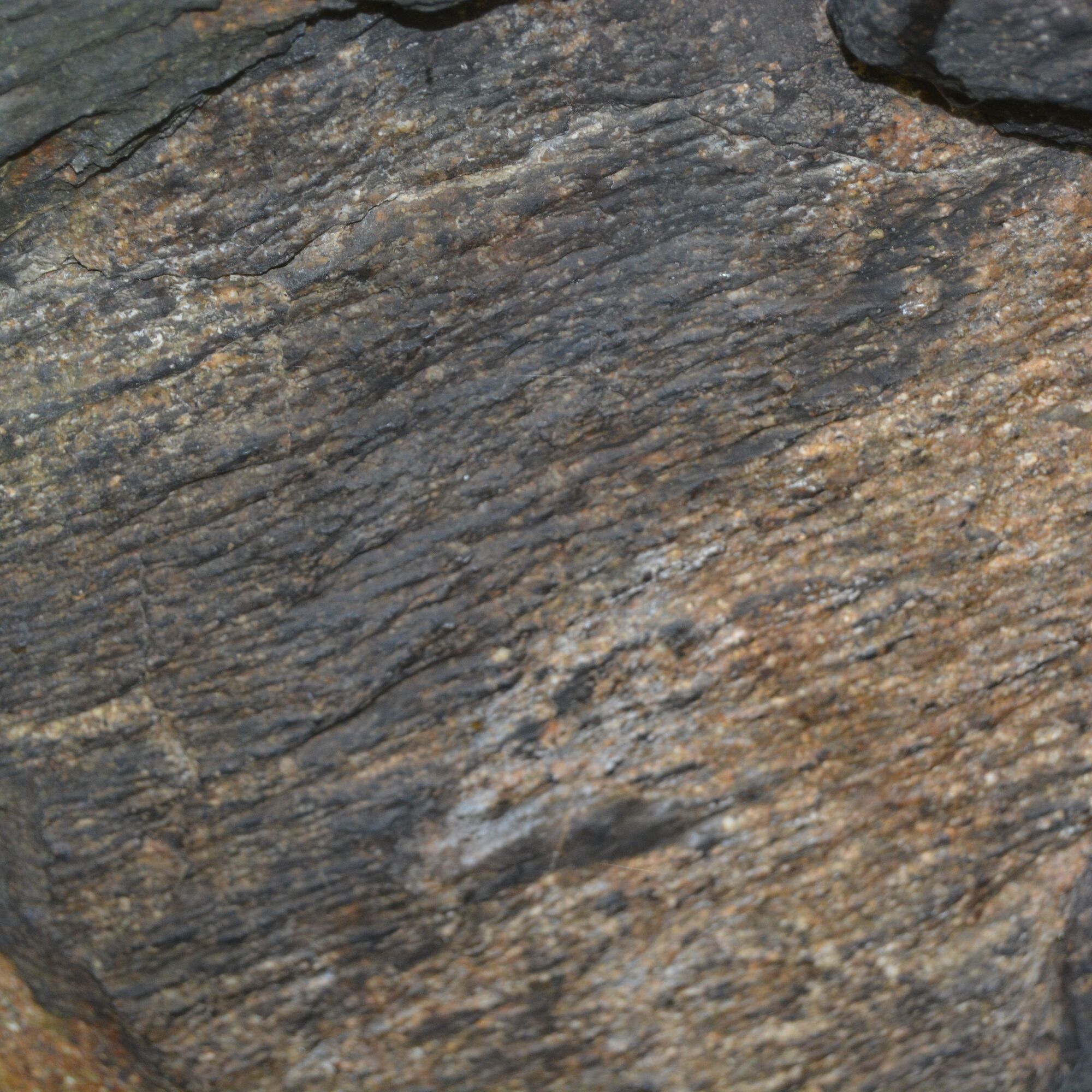
Starting in Döberschütz, the route leads to Böhlitz. Northeast of the village, you can view glacial striations from the Saale and Elster ice ages at Spielberg. From Böhlitz, the path continues via Röcknitz....
Starting in Döberschütz, the route leads to Böhlitz. Northeast of the village, you can view glacial striations from the Saale and Elster ice ages at Spielberg. From Böhlitz, the path continues via Röcknitz. In Röcknitz, a short stop at the Geoportal Herrenhaus Röcknitz with the exhibition "Time – Change – Stone", the geo-adventure garden, and the adventure playground “Fred Porphyrstein” is worthwhile. The geoportal offers insight into geological history up to about 290 million years ago.
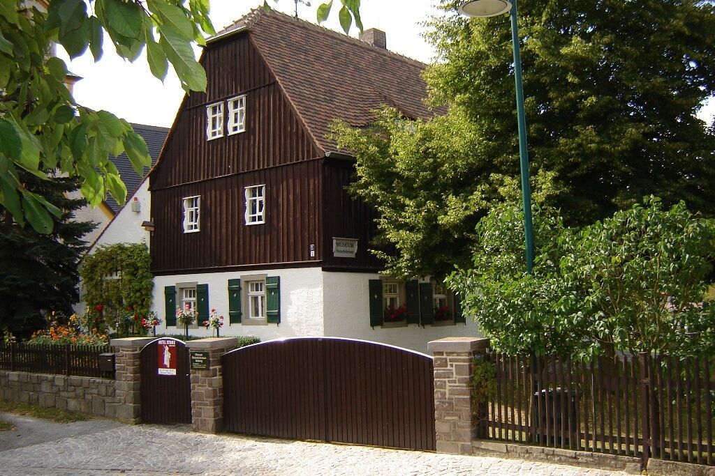
The next geoportal is located a few kilometers away along the route south of Gaudlitzberg in Hohburg. The focus of the Hohburg museum Steinarbeiterhaus is on the industrial history of local mining of Hohburg quartz porphyry and kaolin.
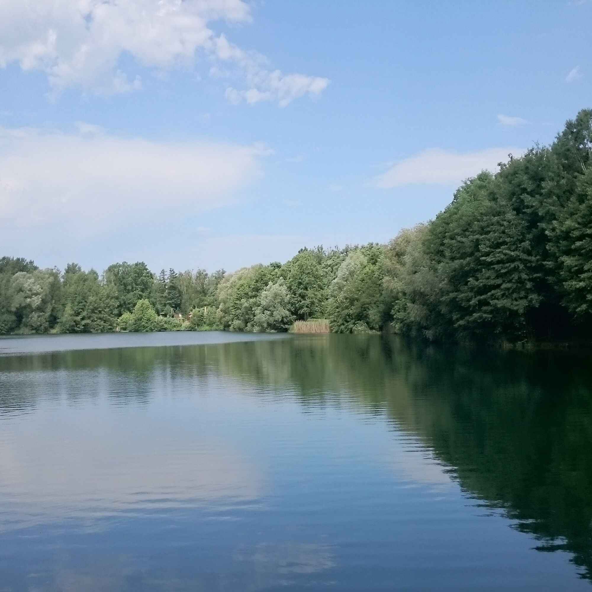
From here, the path leads along the Kleiner Berg towards Wurzen. Besides the kaolin lakes, which are former mining areas of kaolin, glaciers and wind abrasions from the last ice ages can be discovered on the Kleiner Berg.
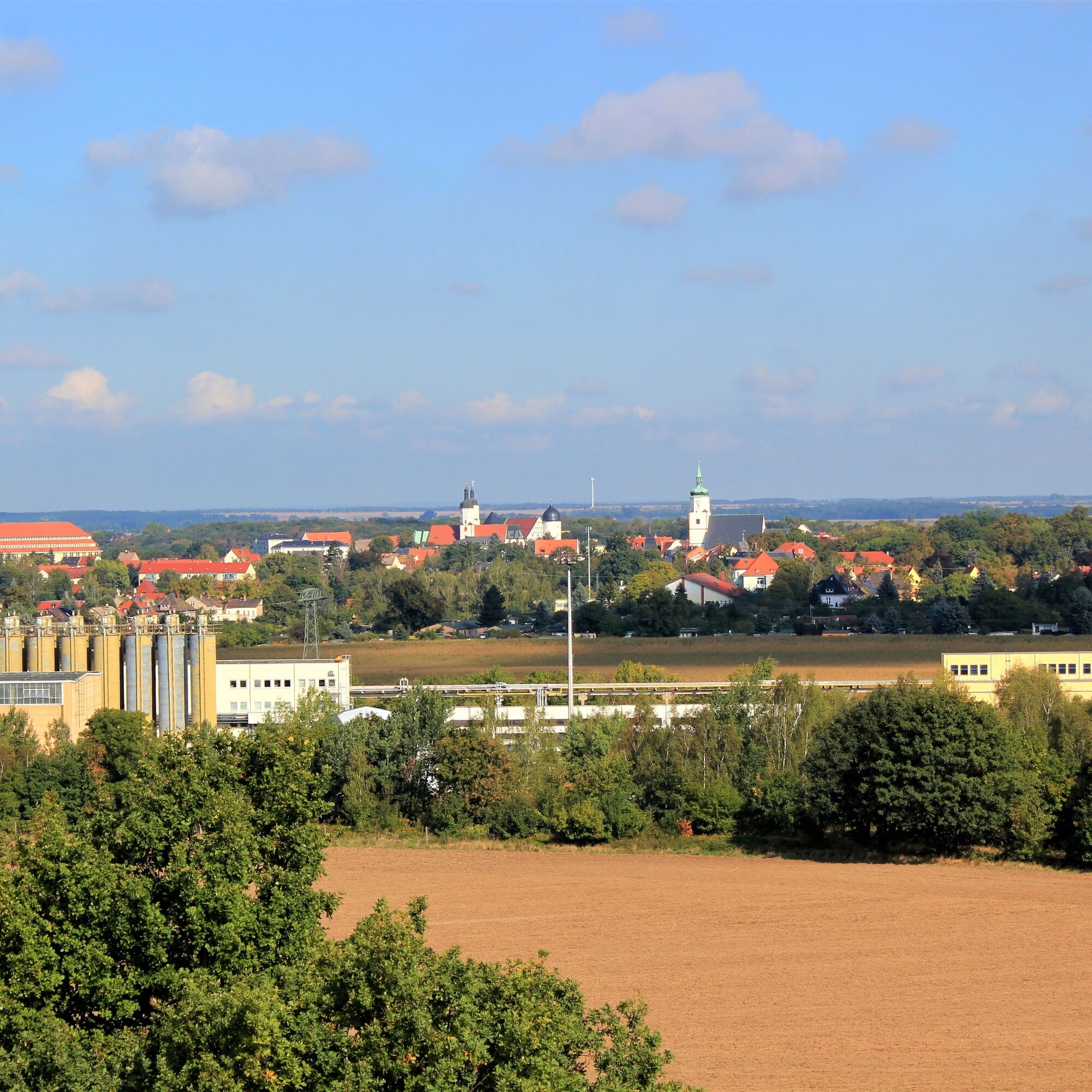
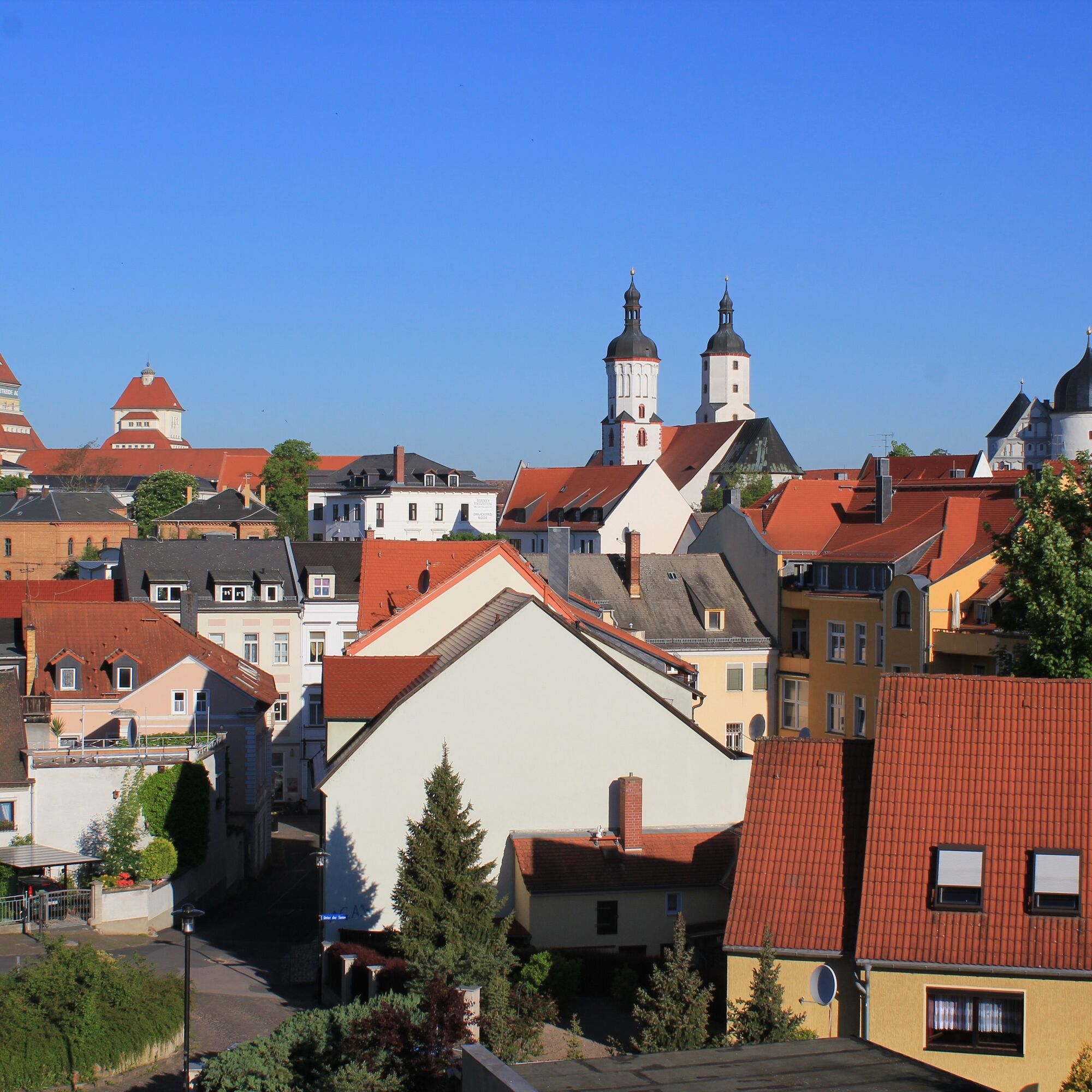
Arriving in Wurzen, the last section of the tour runs through Wurzen’s old town with its numerous architectural sights to the city’s train station, which is also the end of the route.


Start: At Doberschütz station, head south along a low-traffic, tree-lined street and follow it for 3 km to the village of Mölbitz and then another 2.5 km to Böhlitz, passing wide fields.
5.5 km: In the center of Böhlitz, the village of the stone workers' industry, a thematically designed rest area invites you to pause. Slightly off the route, at the end of the hollow way about 500 m away, if you follow the signs for Rittergut/Wasserturm, you will be rewarded at Holzberg with a beautiful view over the Wurzen region. Continuing your journey, follow the cycle path to Röcknitz. There, a sign points to the geoportal “Time – Change – Stone” in Herrenhaus Röcknitz, an adjacent geo-adventure garden, and the volcano playground Fred Porphyrstein.
8.0 km: Straight through the roundabout, you leave Röcknitz. On the left, you approach the Kuhteich, around which you find a six-cubic-meter erratic boulder, a witness of the ice age nicknamed “giant stone.”
9.0 km: The ride continues on a quiet road through the forest area “Klinge” to Thammenhain. There your path connects to the Dahlener Heide cycle route. Follow it via Lindenstraße and Am Wildpark street to Thammenhain Castle. A stroll in the idyllic castle park is recommended before you leave Thammenhain on the right via Am Wildpark street towards Voigtshain.
16.5 km: At the edge of Voigtshain, turn right into Dorfstraße and follow it to Mügltenz. There, in 1736, the grandfather of composer Richard Wagner was born. A very nice rest and playground by the pond management on Straße am Teich invites you to linger. Leaving the village via Birkenweg, you cross the Lossa brook, which gives its name to the geopark community Lossatal.
19 km: Stay right on the road and reach the Dahlener Heide cycle route again via Jahnstraße in Hohburg. A visit to the geoportal Museum Steinarbeiterhaus, which tells about the lifestyle of the stone breakers and the history of the local natural stone industry, is worthwhile.
22 km: Before leaving the village, the cycle path leads uphill on the left, directly beside a company site, continuing to Wurzen. On the left spreads the Kleiner Berg with the National Geotope “Wind and Glacier Abrasions” and on the right lies the Kaolin Lake, a former open-cast mining lake for kaolin. Passing Lüptitz, past Spitzberg and an active quarry, you approach the Ringelnatz town Wurzen. Here you will find plenty of places to eat and relax and, if needed, also two bike shops.
Destination: At Wurzen station, take the Regional Express RE50 or the S-Bahn S4 back to Leipzig. Or you can continue your journey through the Porphyrland Geopark after a city tour and overnight stay in Wurzen, e.g., along the Mulde cycle path either northward to Eilenburg or southward to Grimma.
Ano
At the starting point in Doberschütz, there is a connection to the Leipzig – Eilenburg – Torgau cycle route of the SachsenNetz Rad.
In the city center of Wurzen, there is a connecting link to the Leipzig – Elbe cycle route as well as to the Mulde cycle path.
You can conveniently reach Doberschütz station and Wurzen station by S-Bahn line 4 from Leipzig.
Free P+R parking is available at the stations.
Oblíbené prohlídky v okolí
-
5.0
Georoute Wachtelberg-Mühlbachtal
Tematická stezka 3.87 km -
5.0
Teich- und Waldwanderung in Wemsdorf
středníTuristika 15.0 km -
Muldental hiking trail from Rochlitz to Bad Düben
heavydálková pěší trasa 91.3 km -
Georoute Kleiner Berg
středníTematická stezka 4.78 km -
Pfad der Schildbürger
heavyTuristika 17.2 km -
Tagestour im Wurzener Land
středníTuristika 23.7 km -
Schmannewitzer Holzweg
Tematická stezka 3.31 km -
Lutherweg Sachsen - Zuwegung von Dahlen nach Schmannewitz
světloPoutní stezka 5.44 km -
Georoute Bergbaupfad Hohburg
středníTematická stezka 6.79 km -
Schlauchboottour von Wurzen nach Eilenburg (Vereinigte Mulde)
středníKajak / Kánoe 17.7 km
Pěší turistika a stopování


Nenechte si ujít nabídky a inspiraci pro vaši příští dovolenou
Vaše e-mailová adresa byl přidán do poštovního seznamu.


