


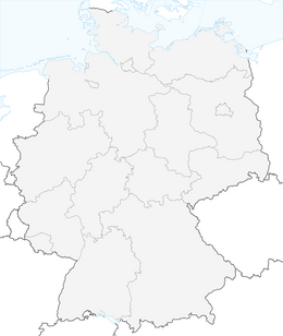


Muldental hiking trail from Rochlitz to Bad Düben

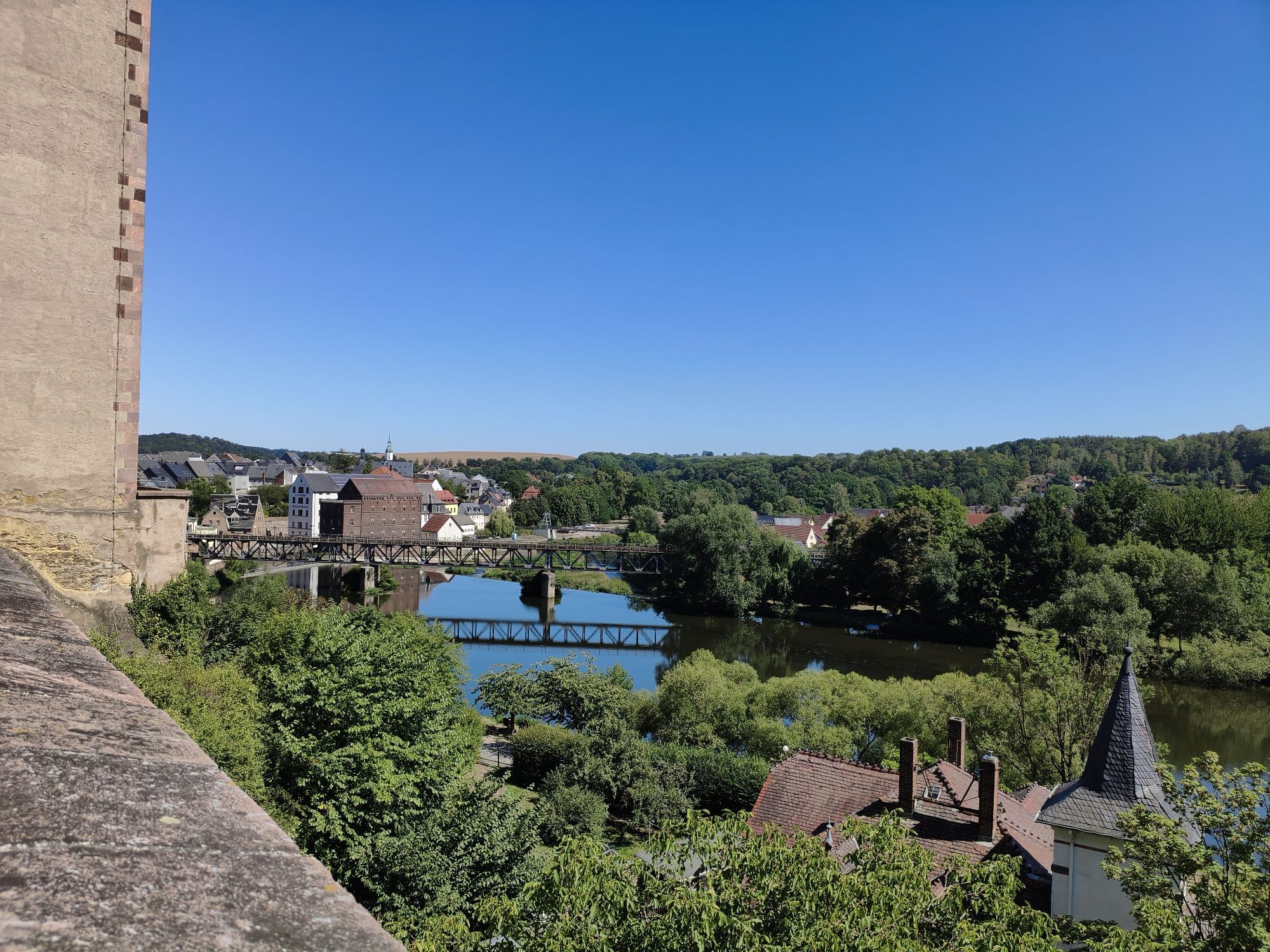


Along the Muldental hiking trail following the Zwickauer and Vereinigte Mulde, one is fascinated firstly by the extraordinary nature, which presents a constant alternation of narrowness and openness, of...
Along the Muldental hiking trail following the Zwickauer and Vereinigte Mulde, one is fascinated firstly by the extraordinary nature, which presents a constant alternation of narrowness and openness, of silence and life. Here typical floodplain landscapes and wetlands with a rich variety of plant and animal life have been preserved. Secondly, numerous cultural and historical sights in the adjacent towns and villages shape the landscape. Old town centers, mighty castles, magnificent palaces, and numerous museums provide insight into the impressive history of Saxony's cultural landscape.
From the confluence onwards, the Mulde becomes broader, more powerful, in places flat and leisurely. Lush meadows with an almost inexhaustible variety of flowers resemble a park landscape created by nature in spring and summer.


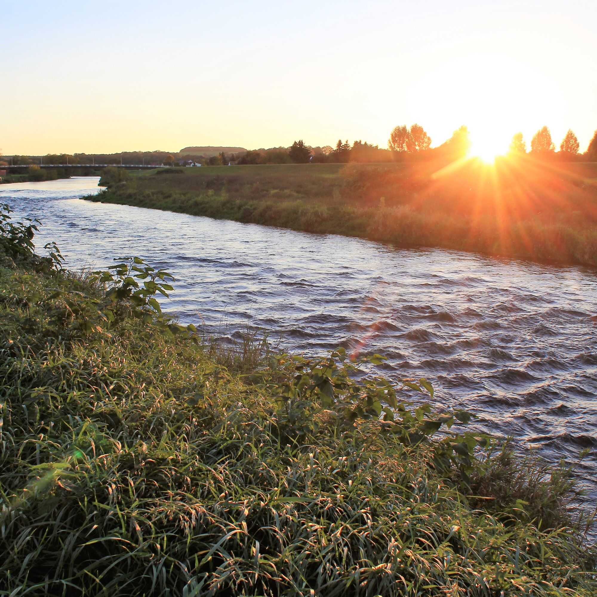
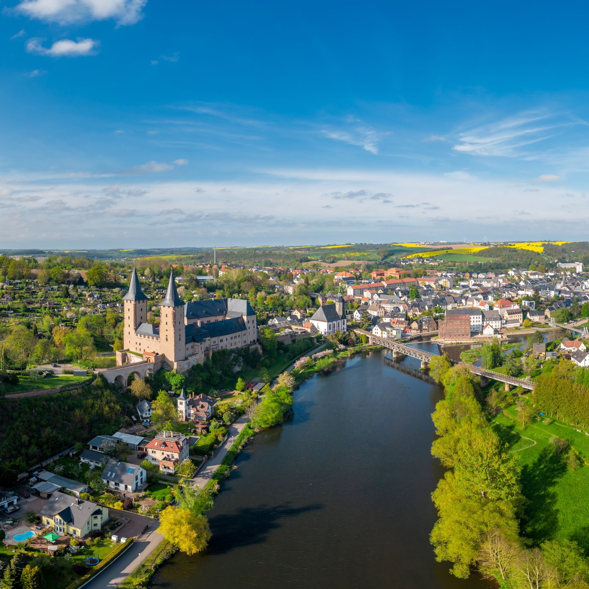

The hiking trail leads from the town of Rochlitz along the Zwickauer Mulde northward. It passes through the places Penna, Kralapp, and Colditz. In Colditz, a pause should be taken to admire Colditz Castle. Overnight accommodation is available here. The next day, the trail continues north from Colditz, passing Sermuth, where the two branches of the Mulde unite, and from then on follows the Vereinigte Mulde. Upon arriving in Höfgen, south of Grimma, the water mill, ship mill, and Nibschen monastery can be explored. Soon after, the town of Grimma is reached. Further north, the trail passes Trebsen/Mulde, through the Planitz forest, to Wurzen. Overnight stays are available in Wurzen as well as in Grimma. From Wurzen, the path mostly leads away from the Mulde to Thallwitz and then to Eilenburg. An overnight stop is also possible in Eilenburg, before mustering the last energy for the hike to Bad Düben. Upon arrival in Bad Düben, there is the option to return to Leipzig by bus.
Bus 629: Geithain-Glauchau (Stop Rochlitz, Rathausstraße)
Bus 620: Colditz-Rochlitz (Stop Rochlitz, Rathausstraße)
Bus 196: Leipzig-Bad Düben (Stop Bad Düben, Paradeplatz or Lutherstraße)Rochlitz: Parking lot "An der Bleiche"
Bad Düben: Parking lot Leipziger Straße
Rochlitz Castle
Heimatturm Colditz
Colditz Castle
Confluence of the Mulde near Sermuth
Trebsen Castle and manorial estate
Düben Castle with mountain watermill
Oblíbené prohlídky v okolí
-
7 Steinbrüche Tour
světloTuristika 21.5 km -
5.0
Georoute Wachtelberg-Mühlbachtal
Tematická stezka 3.87 km -
5.0
Path of Stones
světloTematická stezka 18.8 km -
5.0
Teich- und Waldwanderung in Wemsdorf
středníTuristika 15.0 km -
Geo cycle route Doberschütz - Wurzen
Jízda na kole 30.7 km -
Kirchbruchroute Beucha
Tematická stezka 1.89 km -
Wanderung um den Moritzsee
světloTuristika 3.59 km -
5.0
Wanderung um den Albrechtshainer See
světloTuristika 4.69 km -
Rundwanderung von Grimma zum Urlaubsdorf Höfgen
světloTuristika 11.1 km -
Grimma-Wanderrunde
světloTuristika 12.3 km
Pěší turistika a stopování


Nenechte si ujít nabídky a inspiraci pro vaši příští dovolenou
Vaše e-mailová adresa byl přidán do poštovního seznamu.


