







Veldenz Hiking Trail - Entire route (Burg Lichtenberg - Veldenz Castle in Lauterecken) - Leading Quality Trail - Best of Europe
Five daily stages allow nearly a week of pure hiking experience – because the Veldenz Hiking Trail runs from Burg Lichtenberg near Thallichtenberg over many paths and through diverse landscapes.
Here you...
Five daily stages allow nearly a week of pure hiking experience – because the Veldenz Hiking Trail runs from Burg Lichtenberg near Thallichtenberg over many paths and through diverse landscapes.
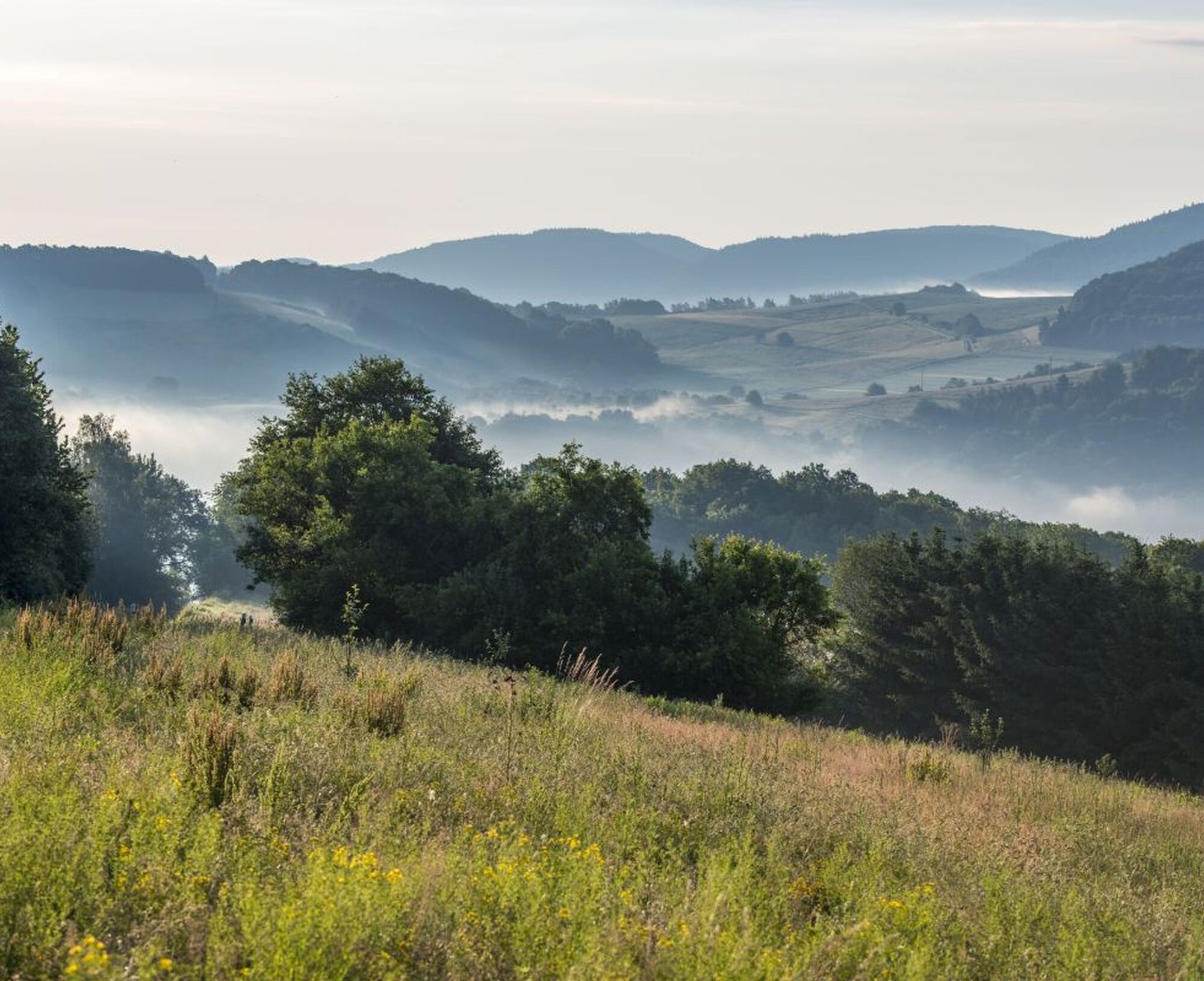
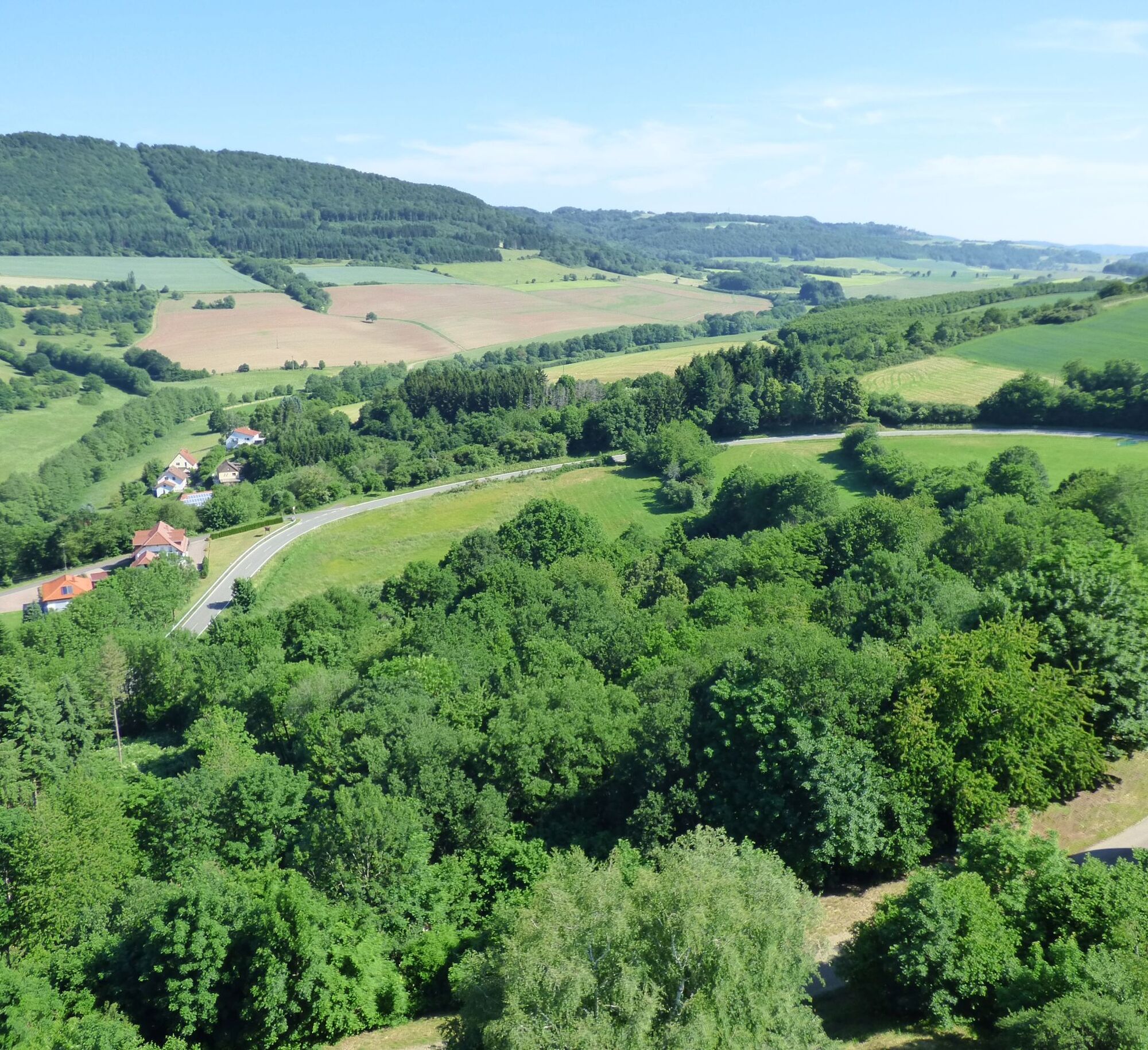
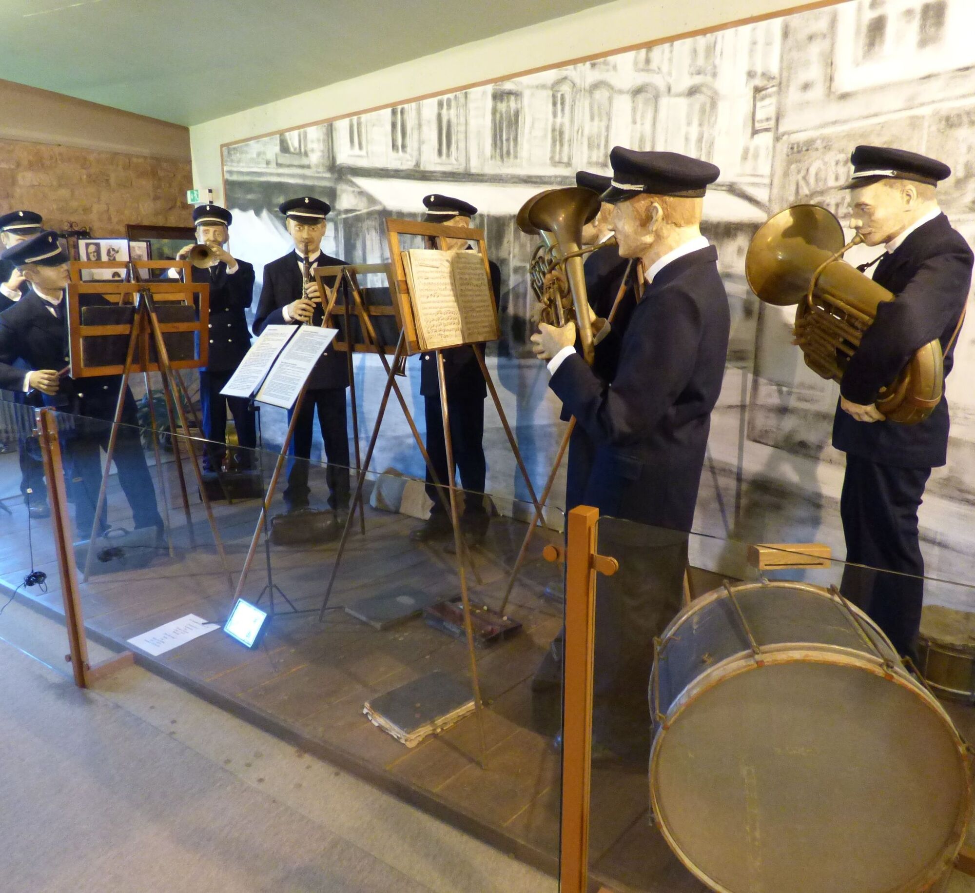
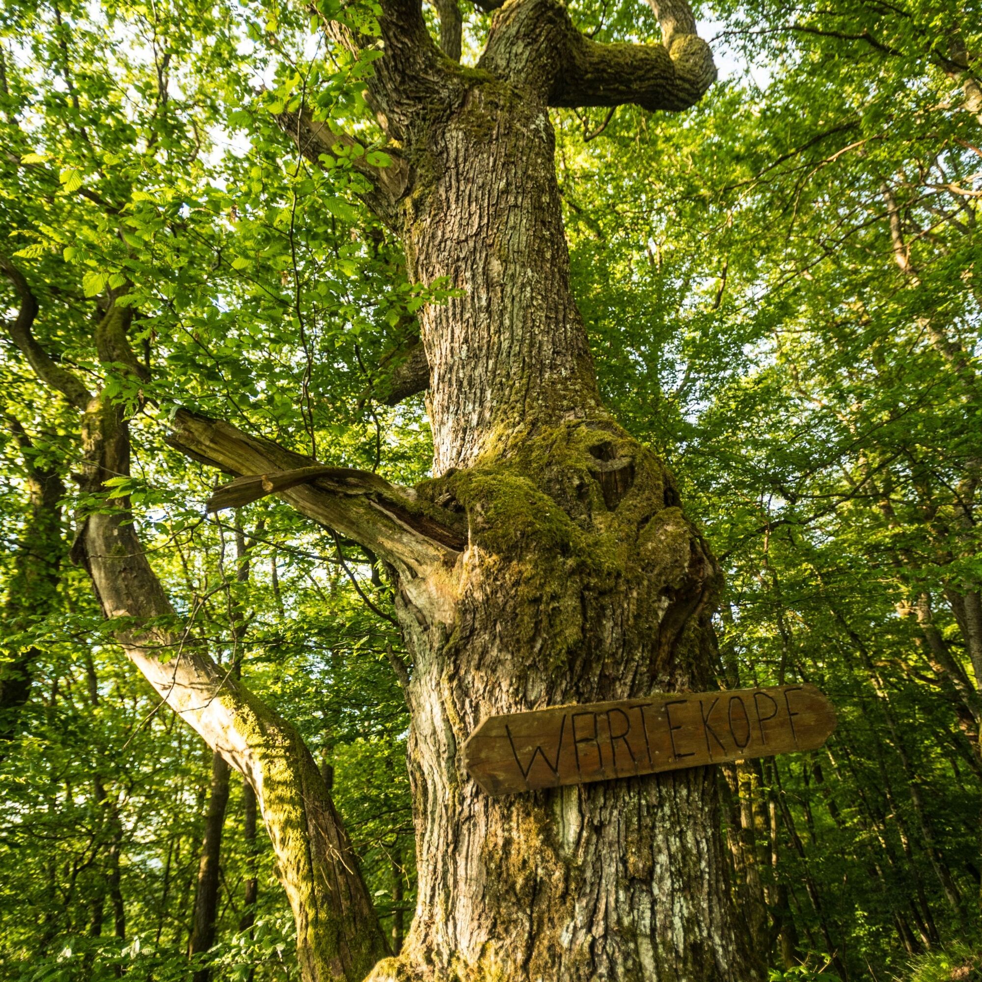
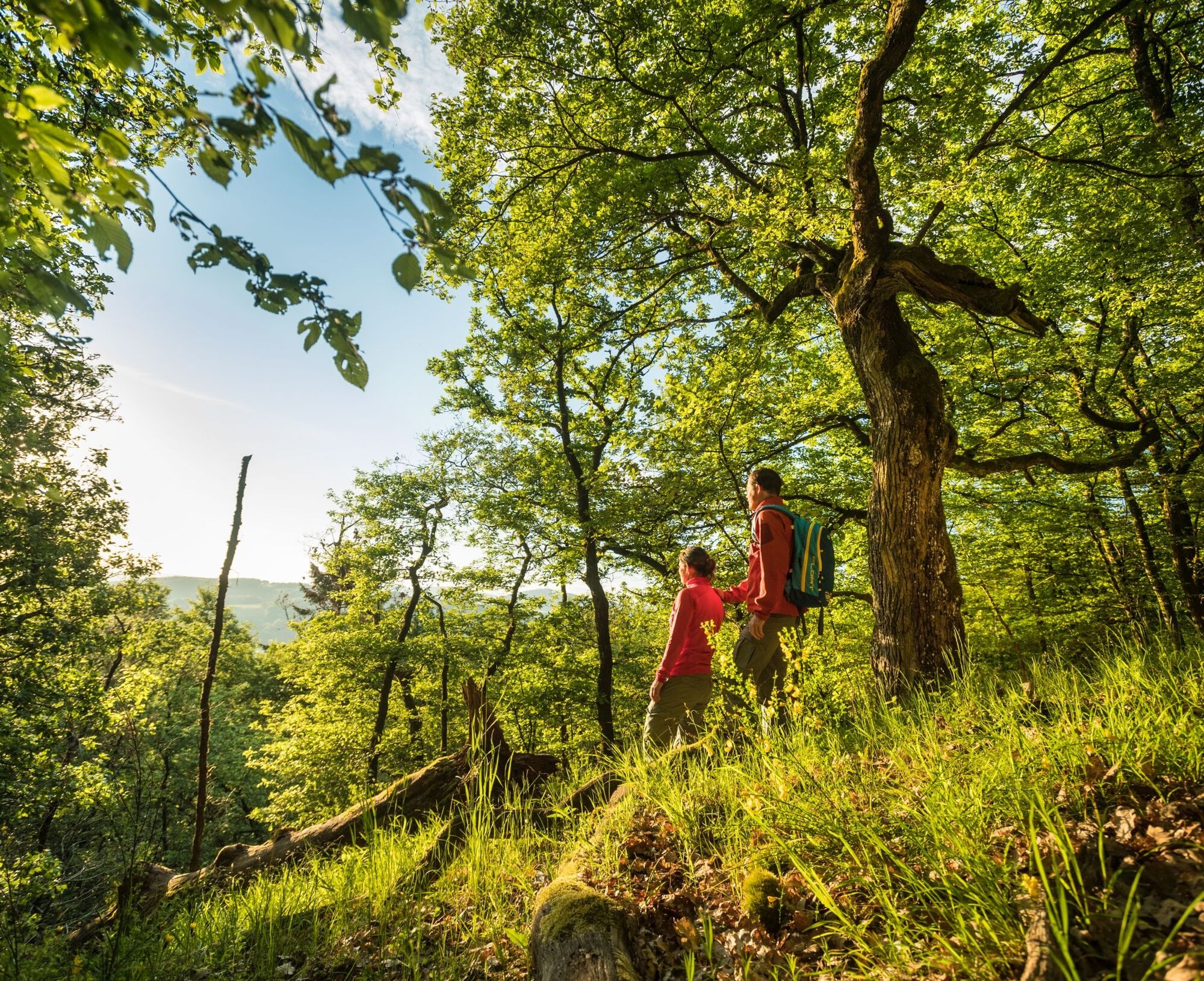
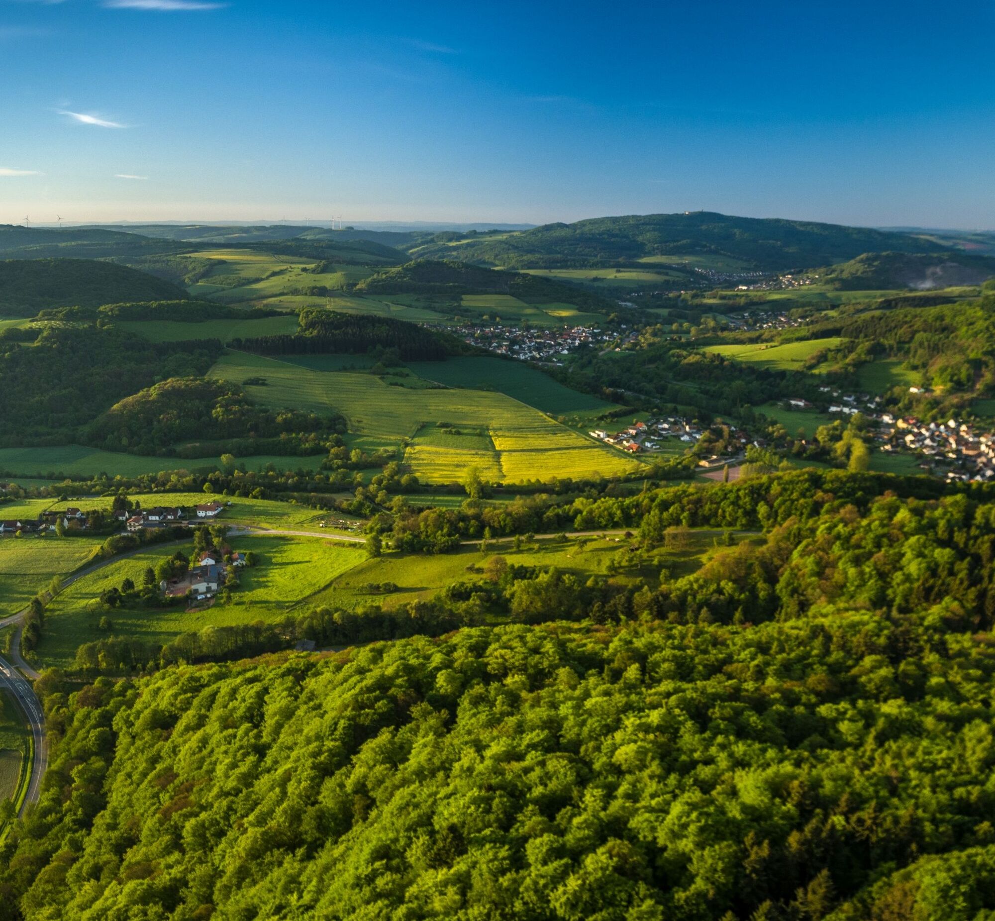
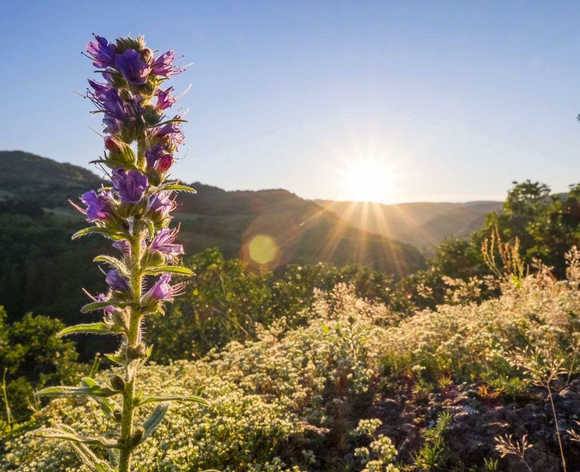
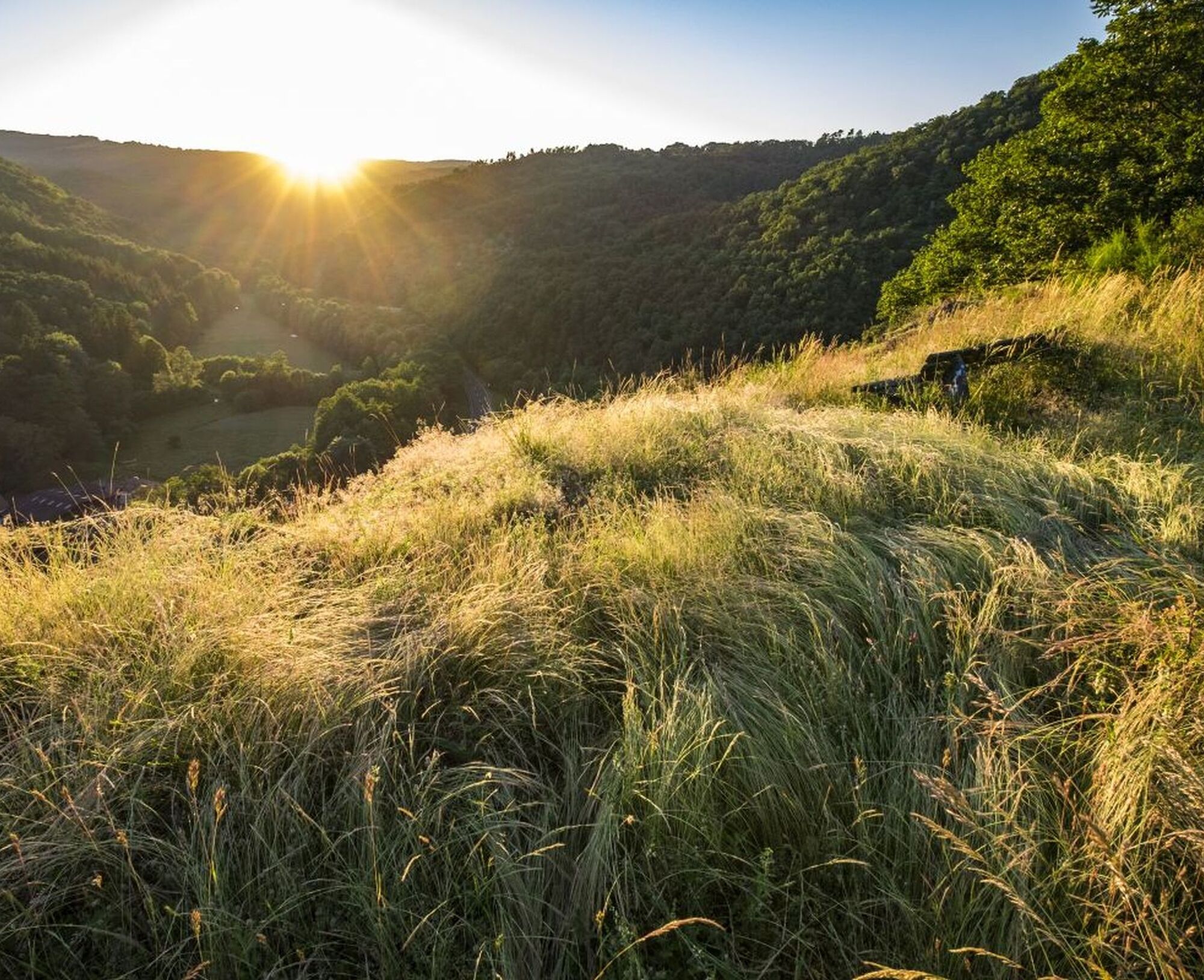
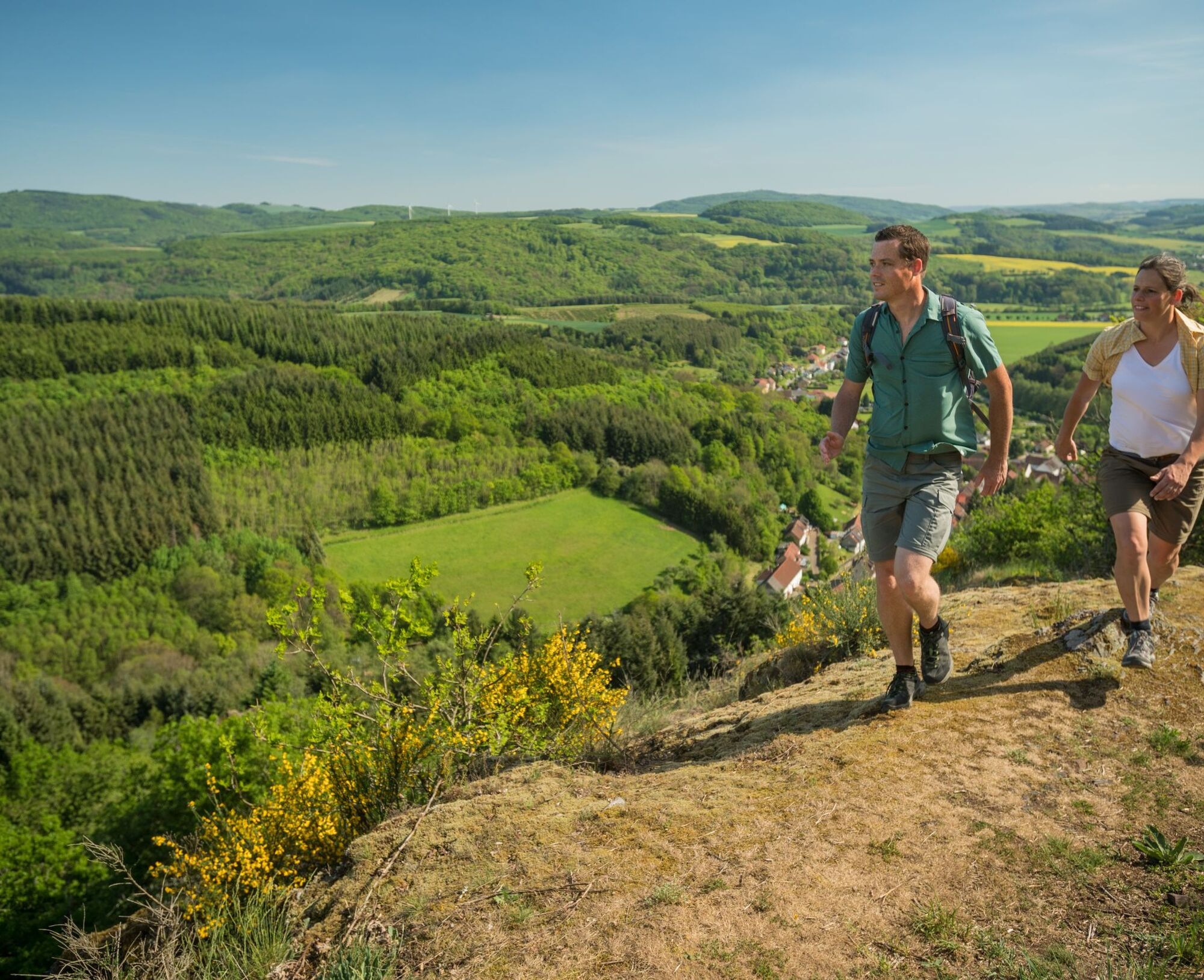
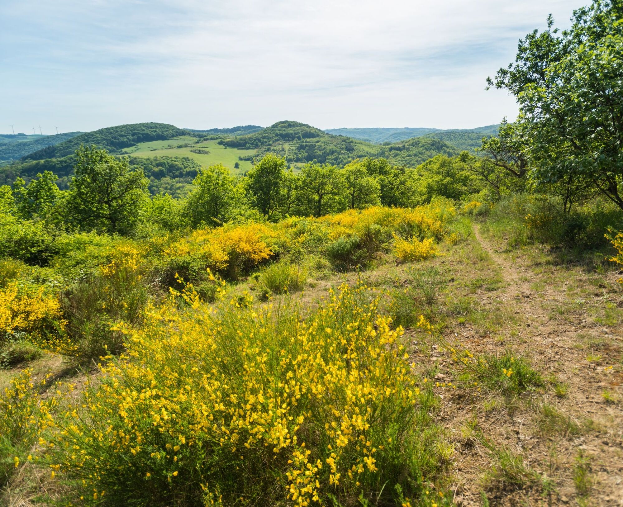
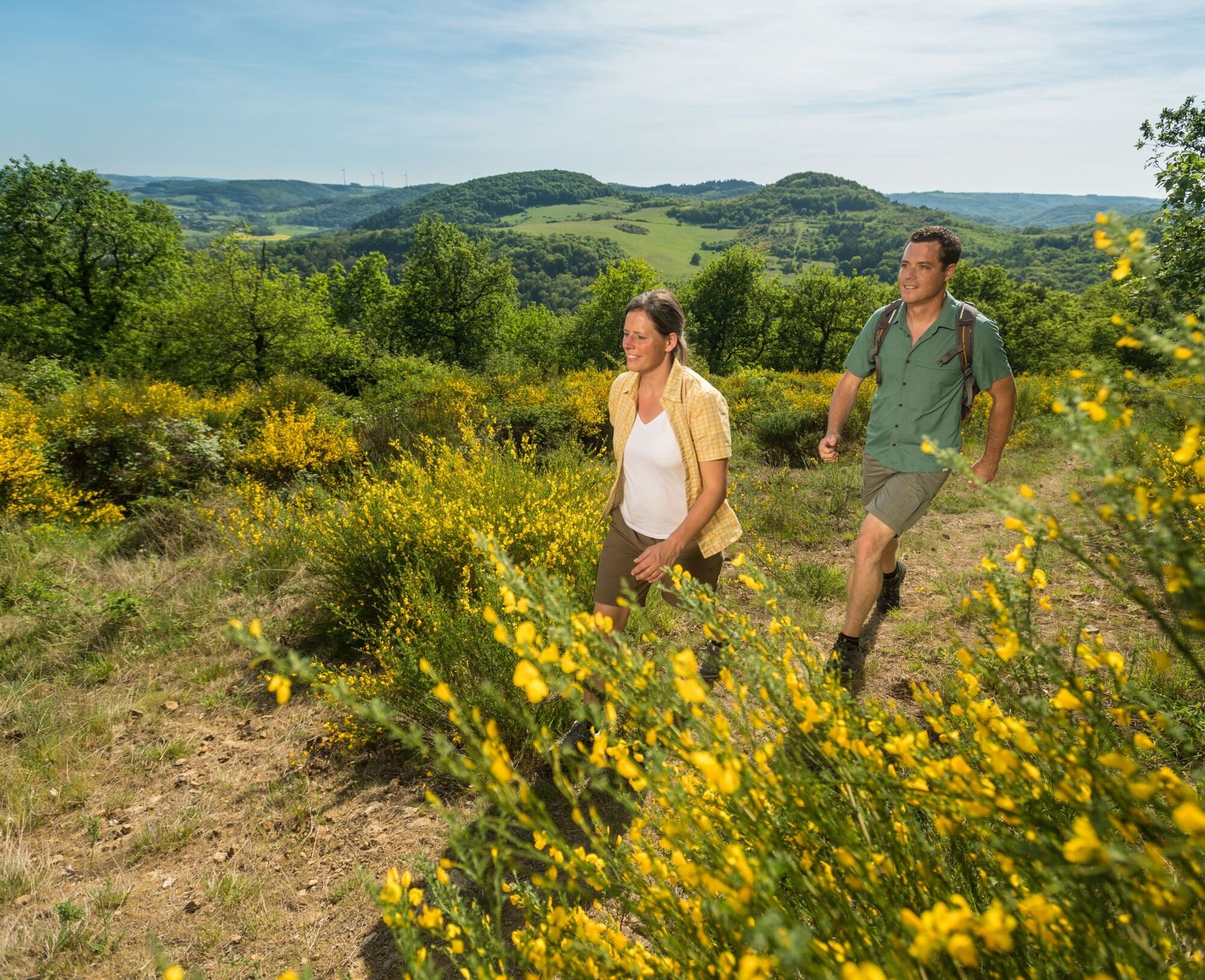
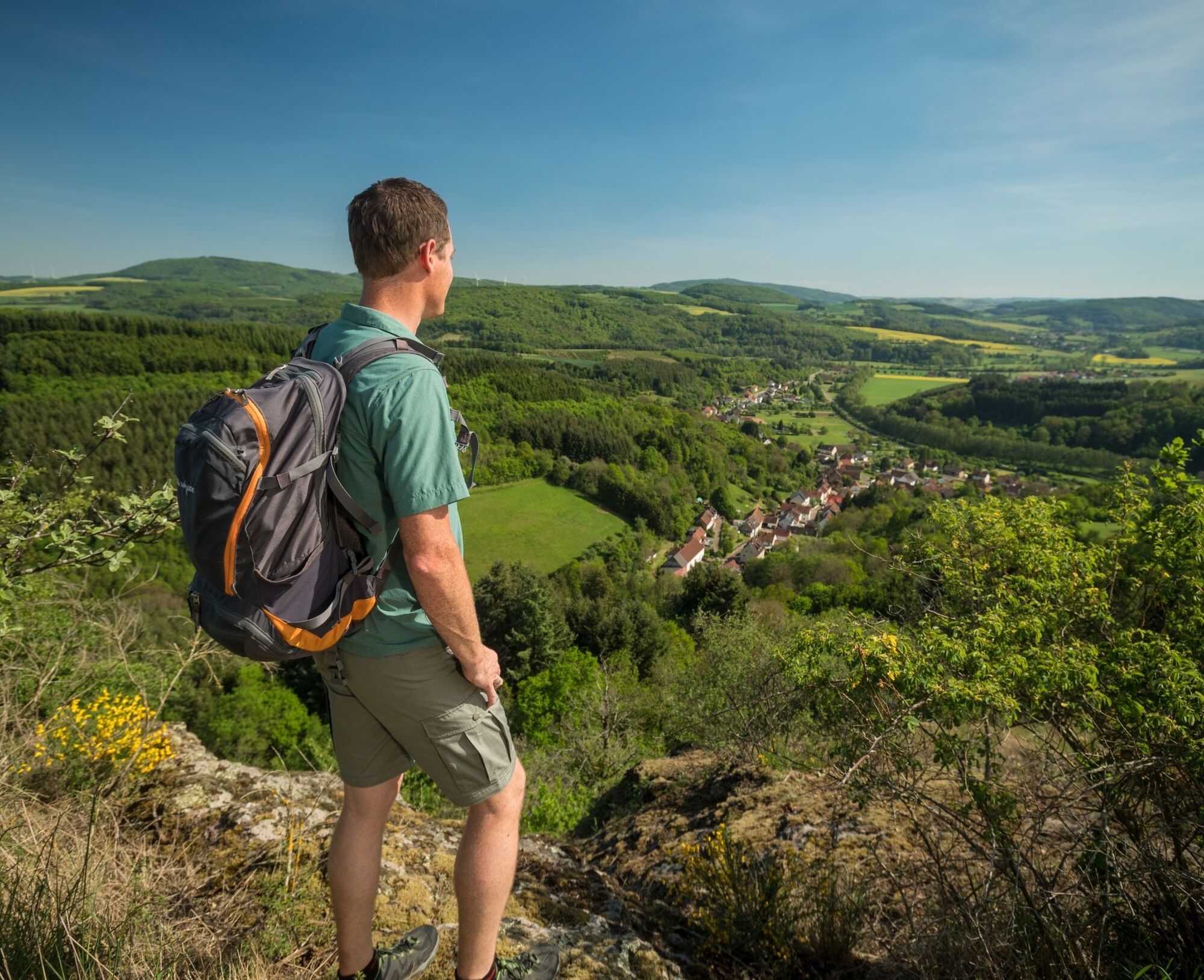
Here you can be completely with yourself: the natural paths especially in the nature reserves Wartekopf and Mittagsfels lead alpine-like to the heights, where the Pasqueflowers bloom in spring and from the height there is an unimaginably wide view over the Glan valley and to the Prussian Mountains. With Burg Lichtenberg, the Water Castle in Reipoltskirchen with the Sculpture Path and Veldenz Castle in Lauterecken (end of the tour), history and culture of the Palatinate Highlands come alive again. And who knows, maybe you will also encounter some wandering musicians?
UFFBASSE! – Campaign for respectful coexistence in nature
- Always behave considerately, kindly, and with foresight towards everyone you meet on the way.
- Respect nature, do not destroy plants, and always stay on the paths.
- Think of a rubbish bag for the journey and take your waste back home with you.
- Please always keep your dog on a leash. Other visitors and animals will thank you.
- For your own safety, observe all trail closures, even on weekends.
- Only park in designated parking areas. Leave space for emergency routes and agricultural machinery.
- Give priority to agricultural and forestry traffic.


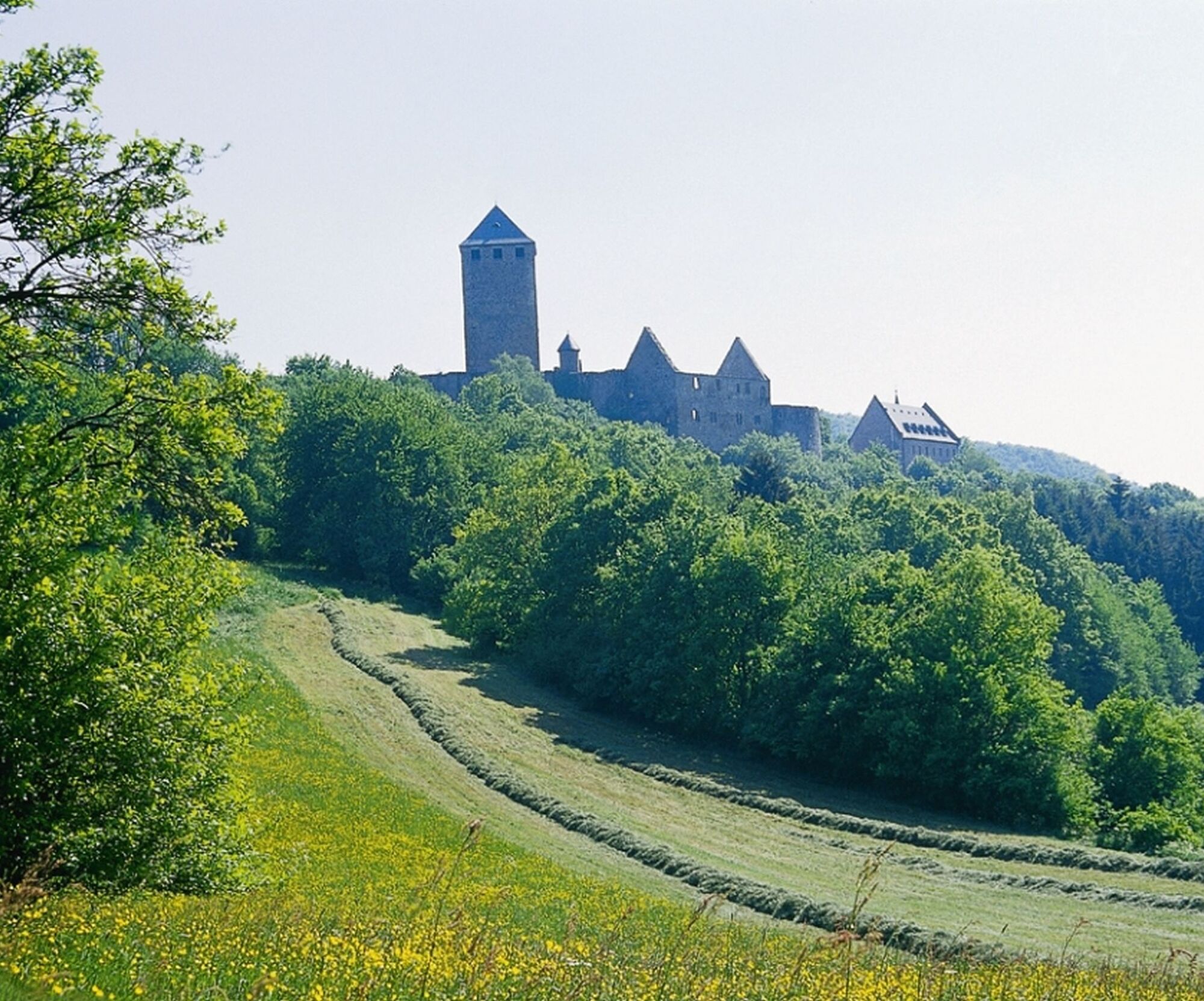
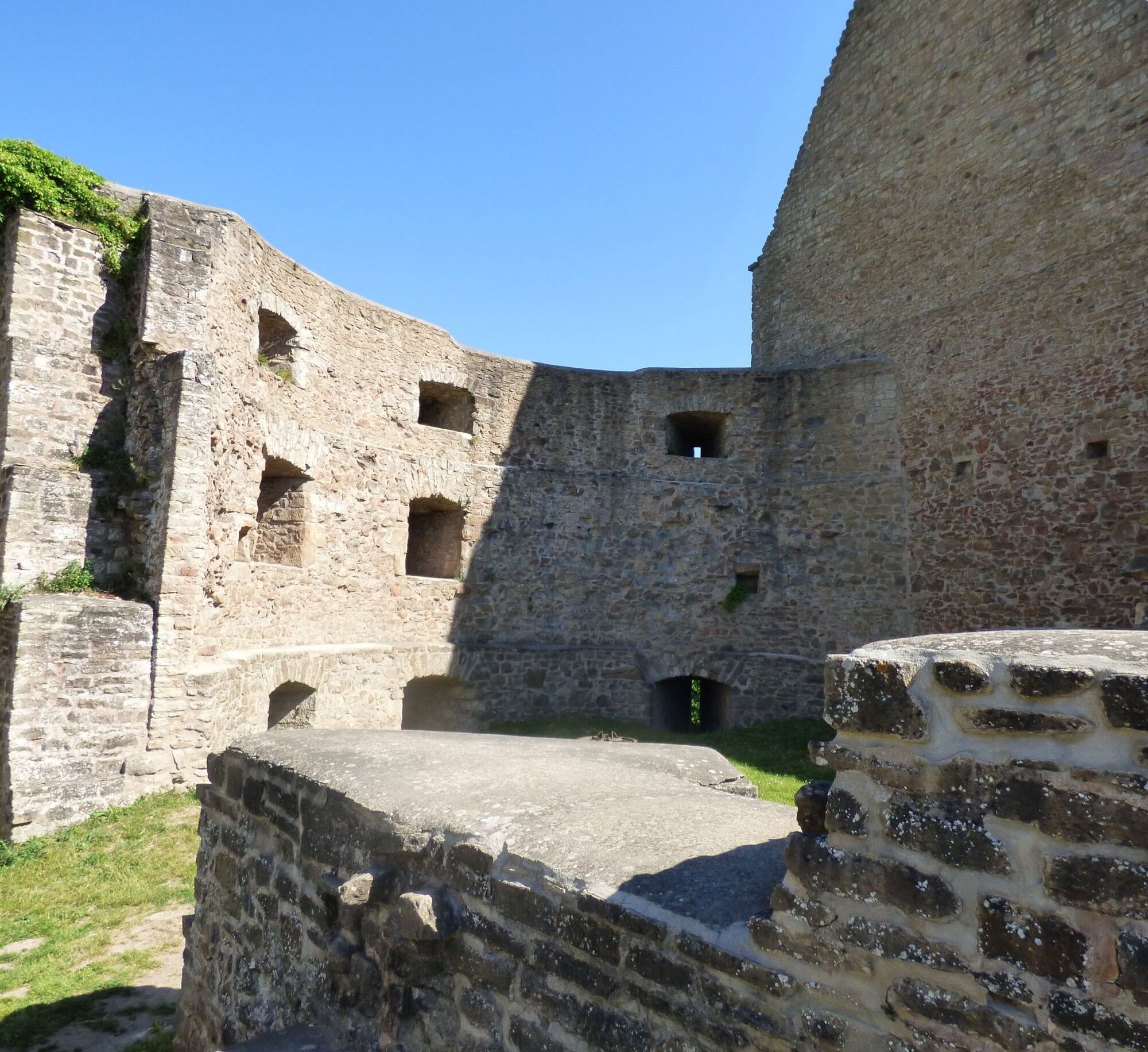
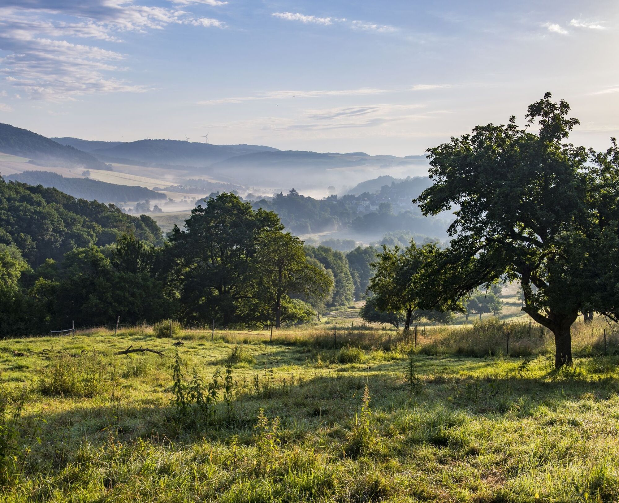
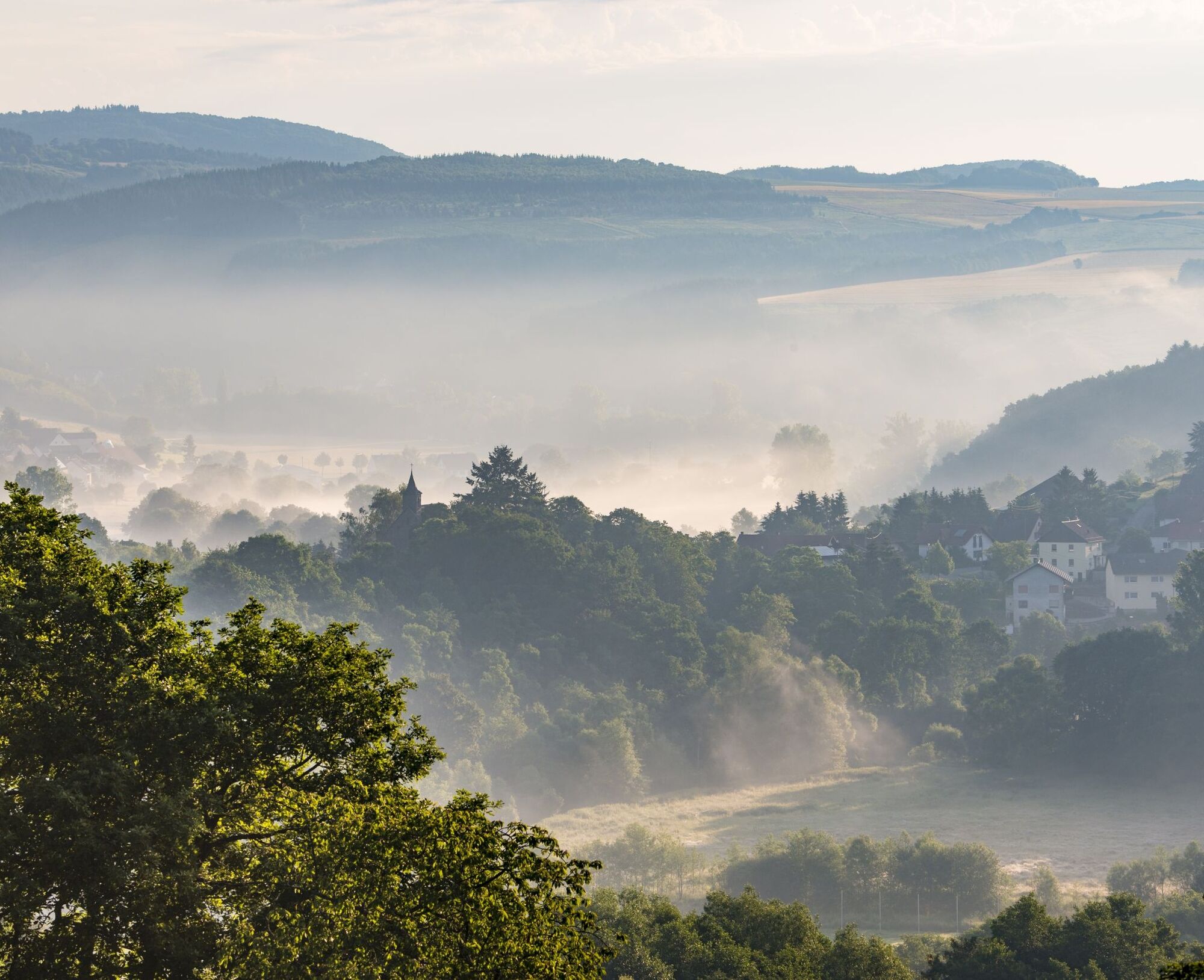
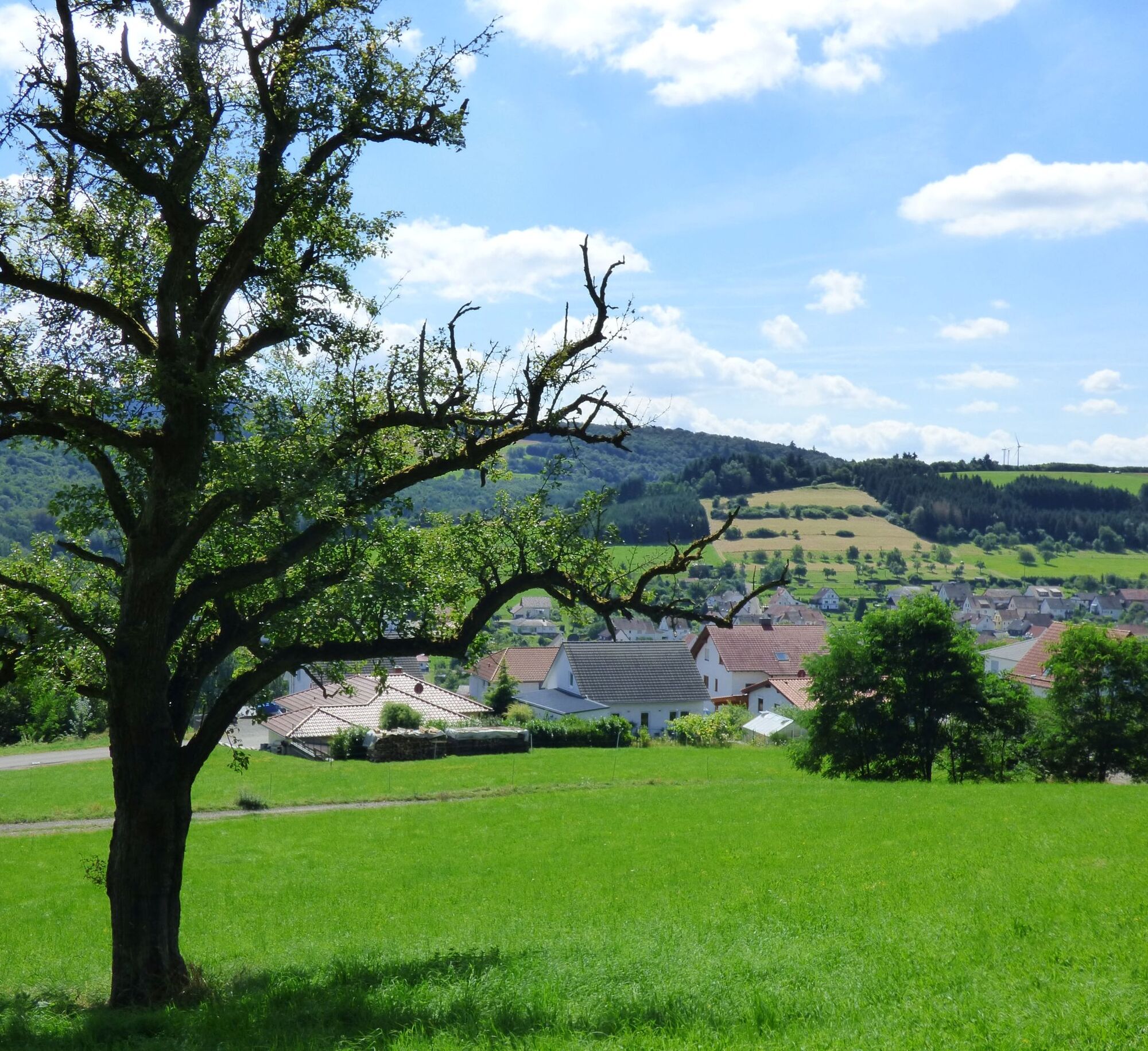
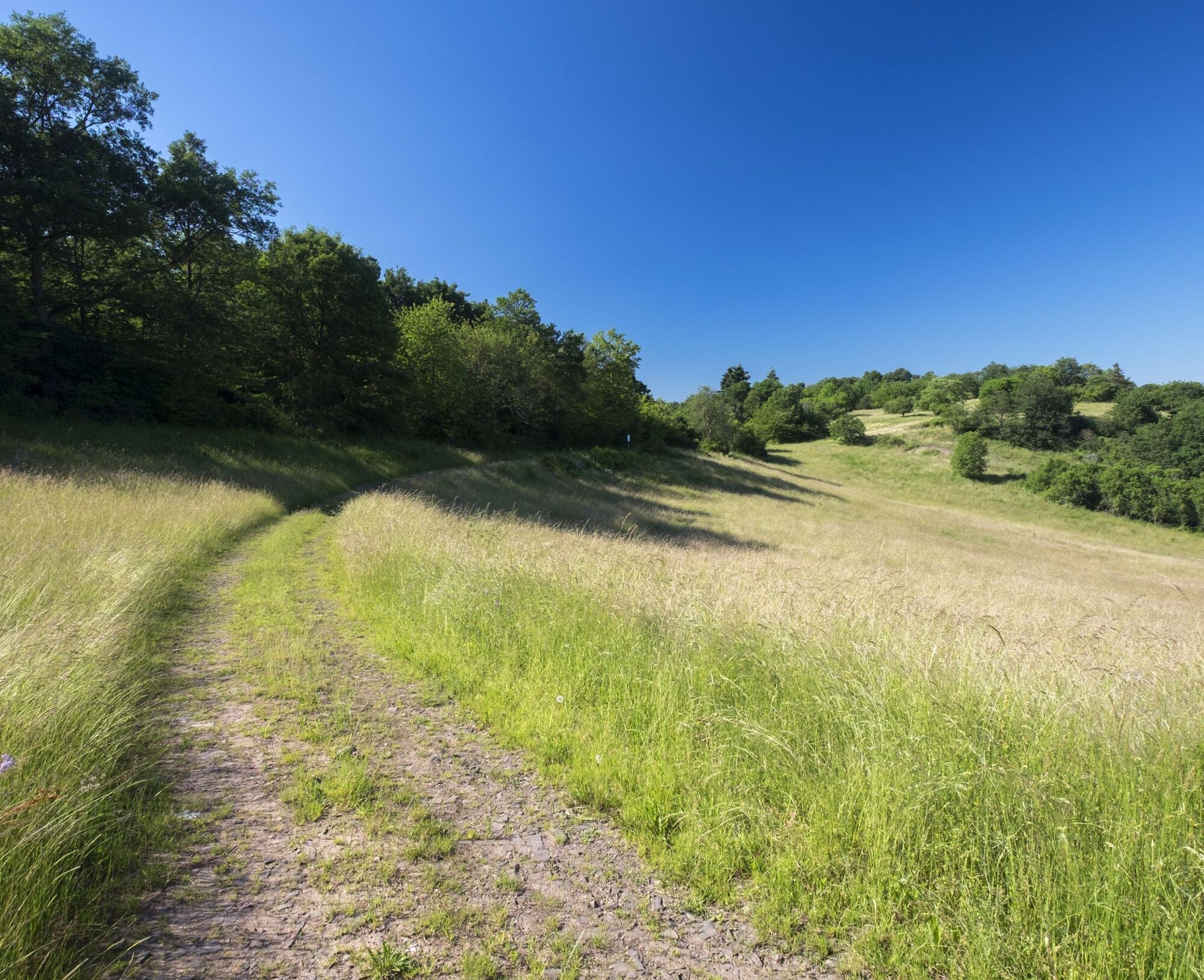
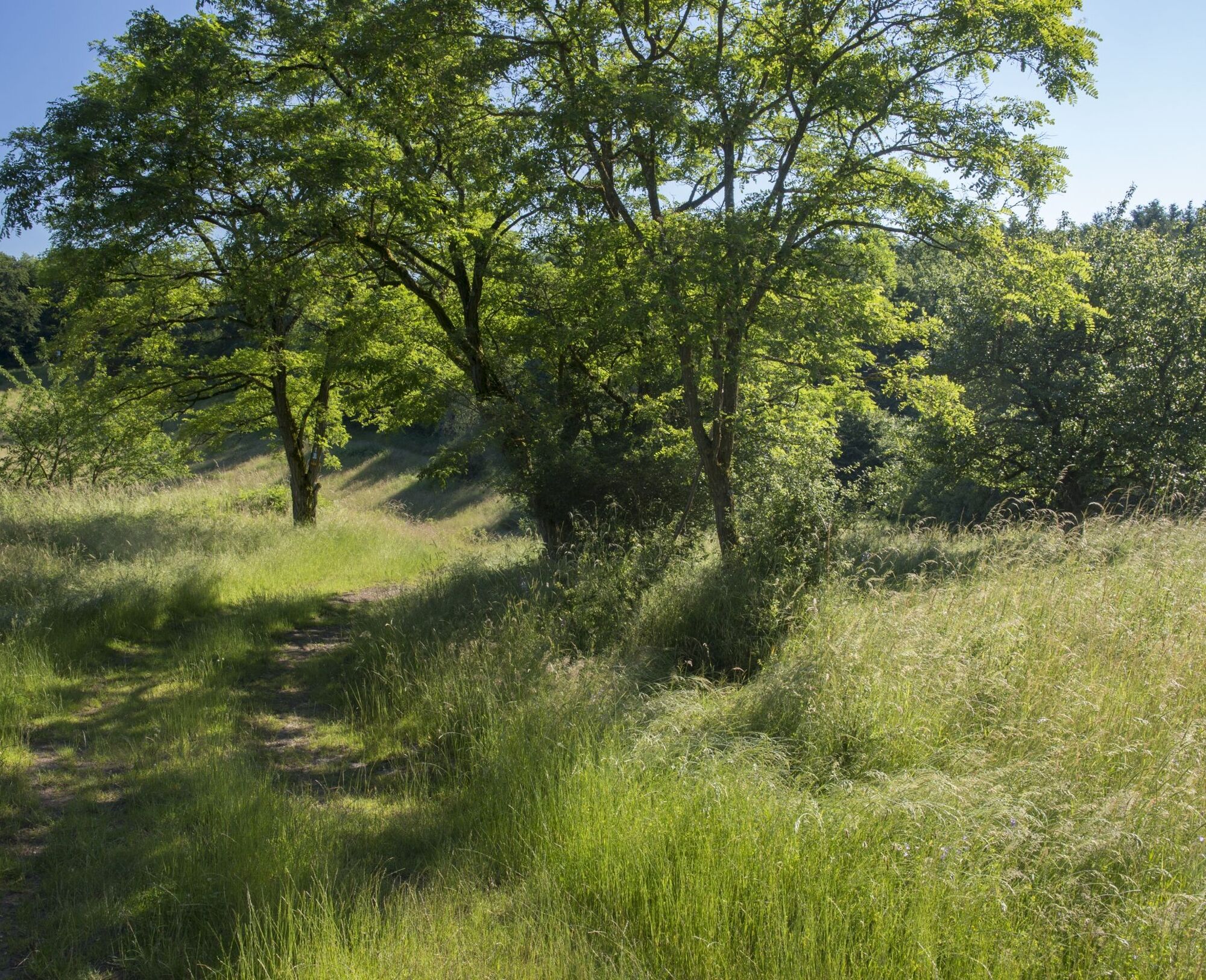
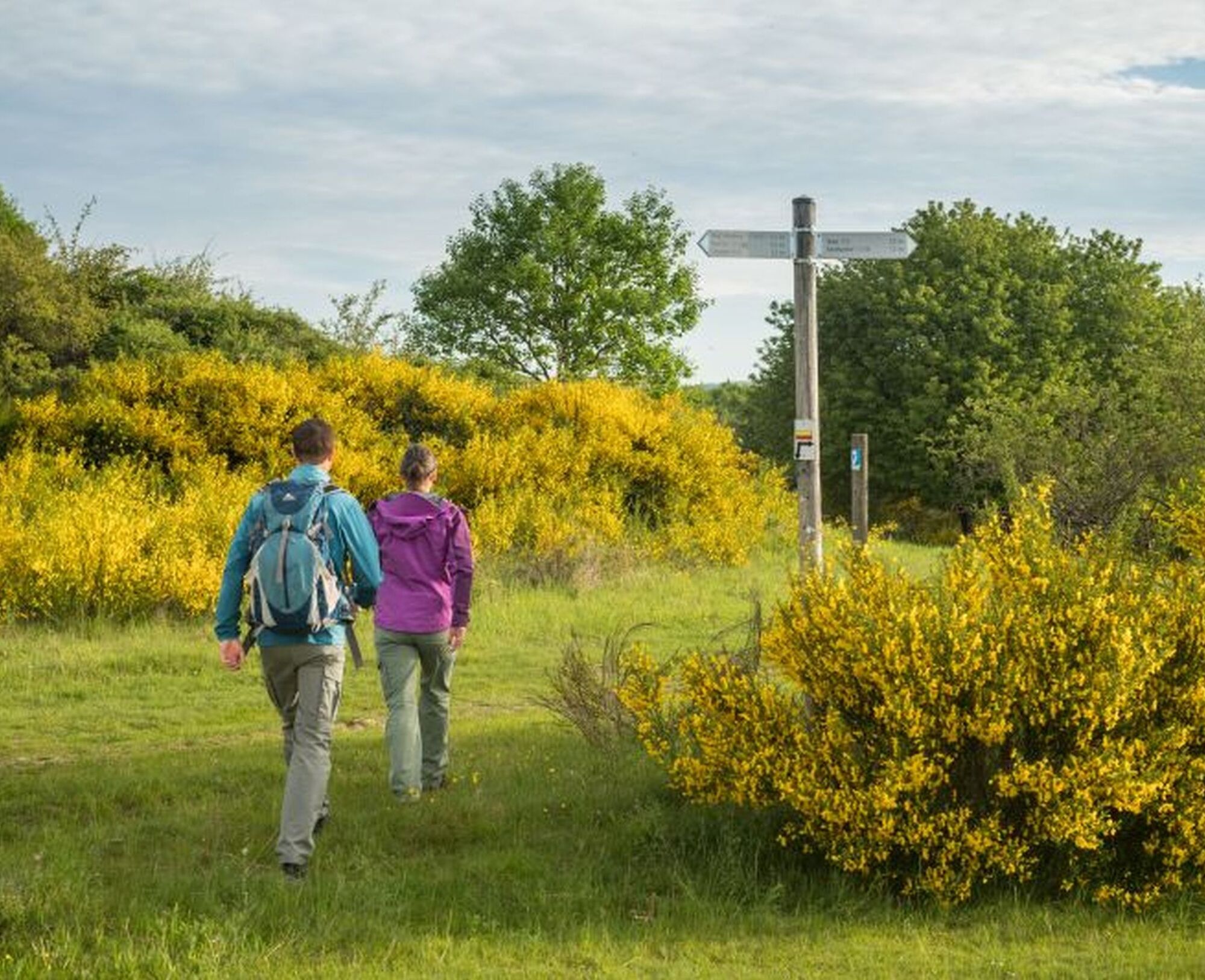
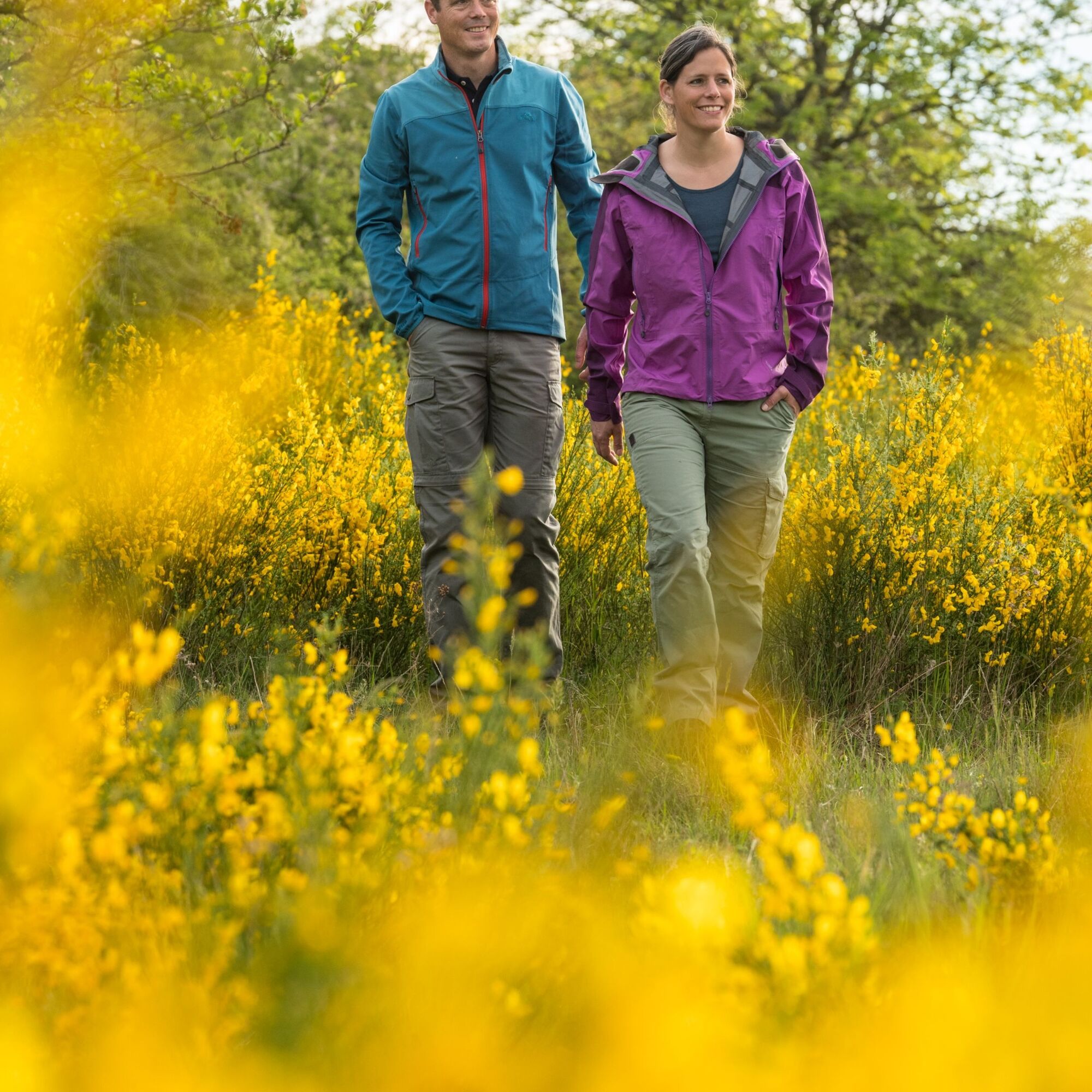
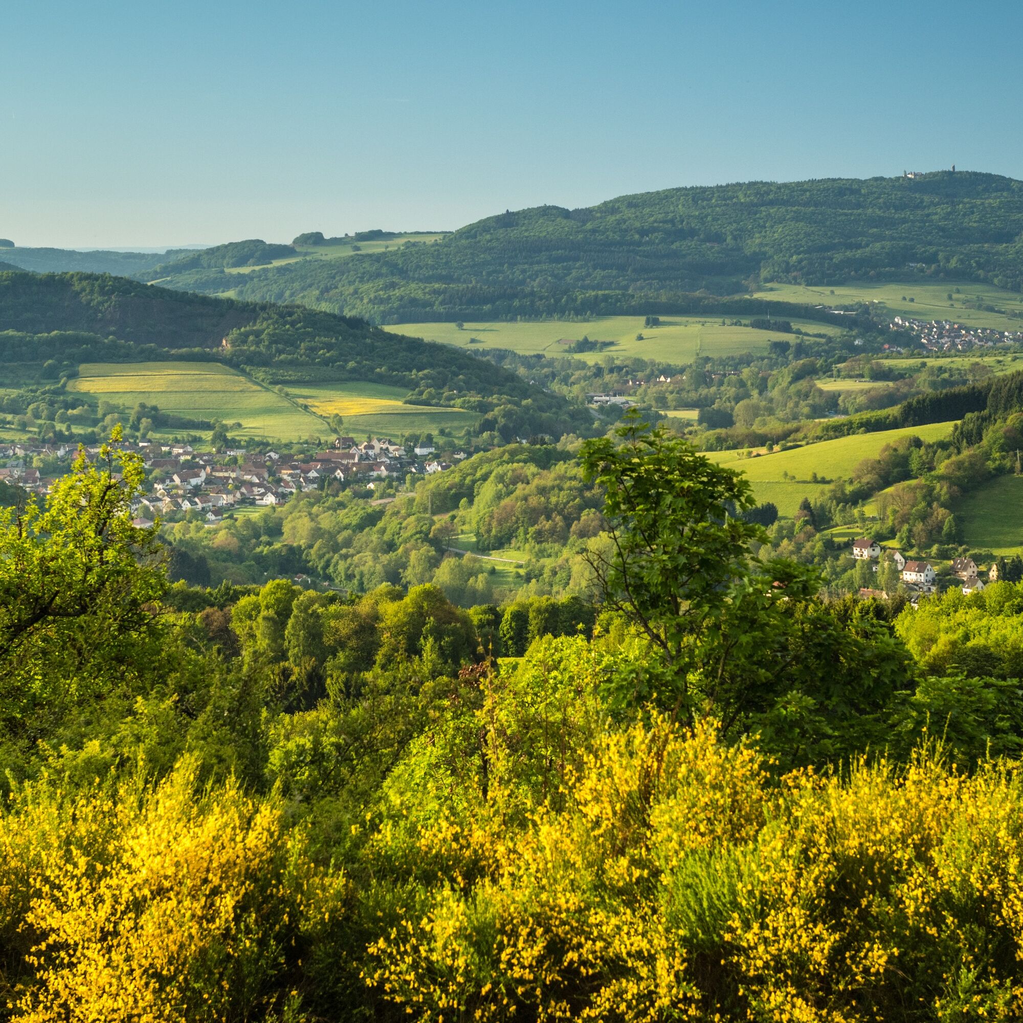
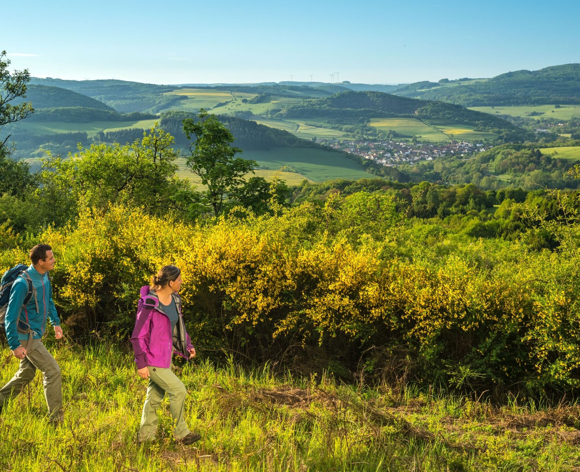
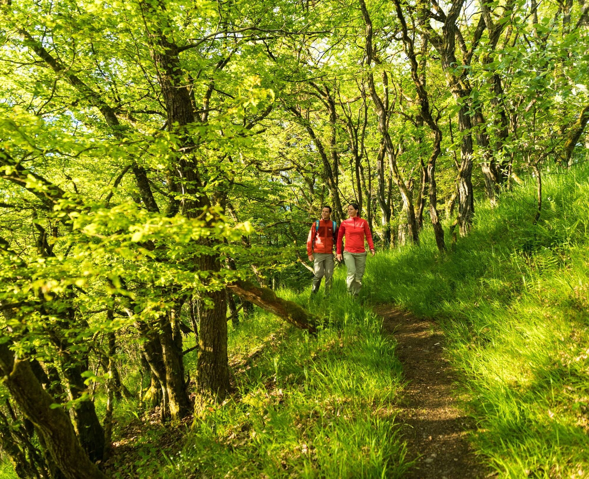
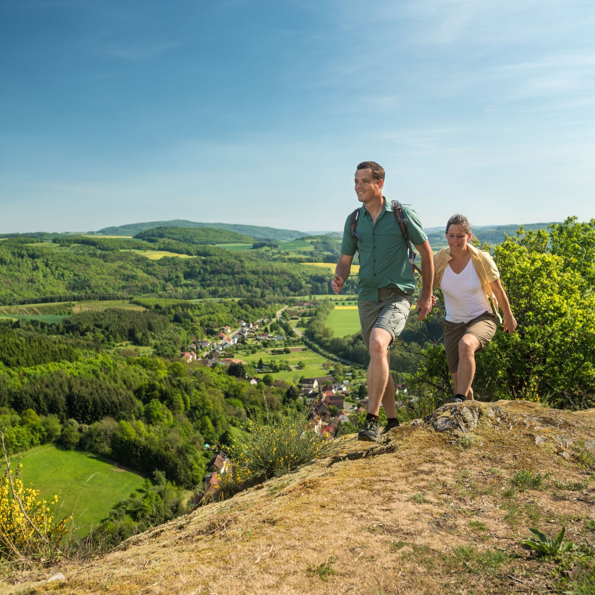
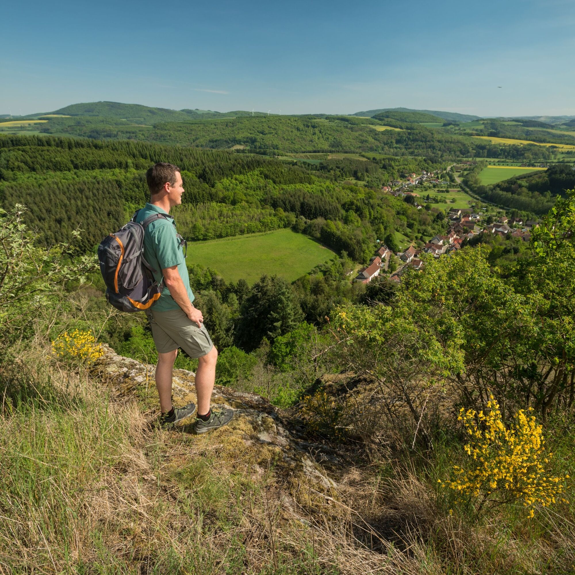

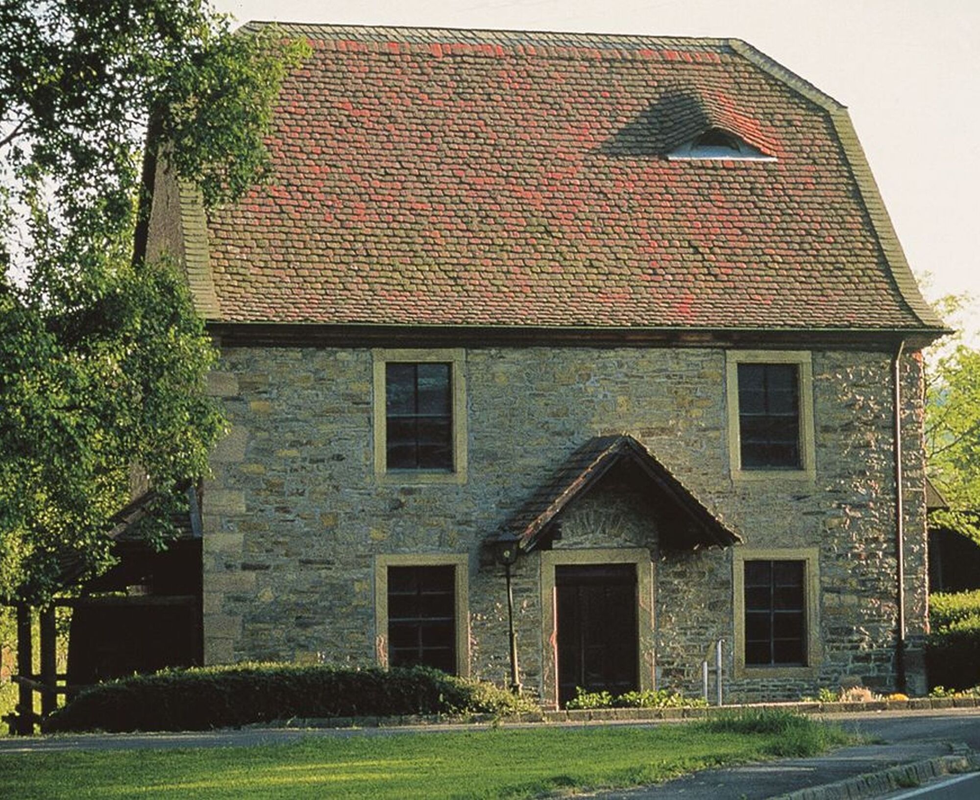
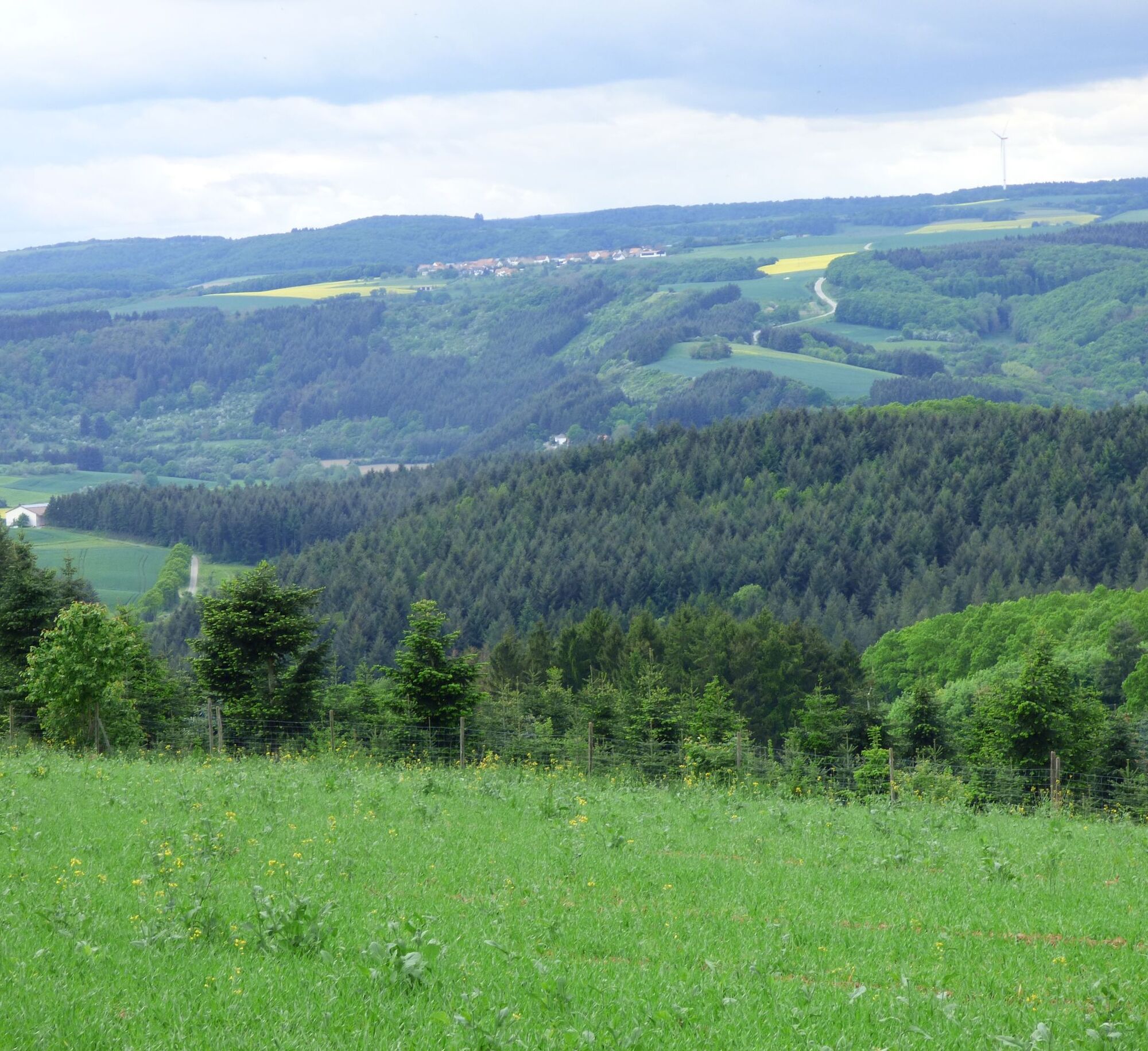
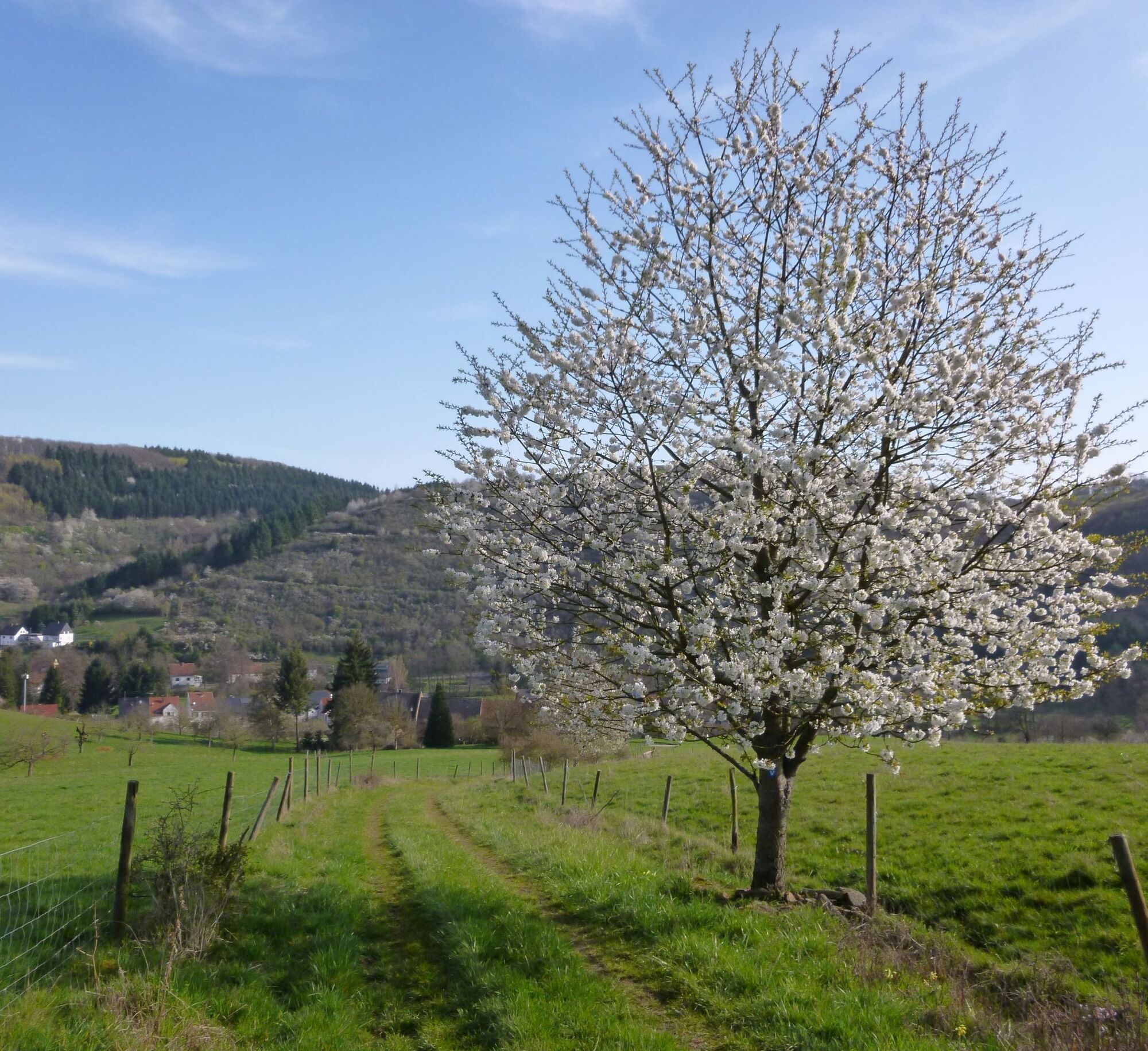
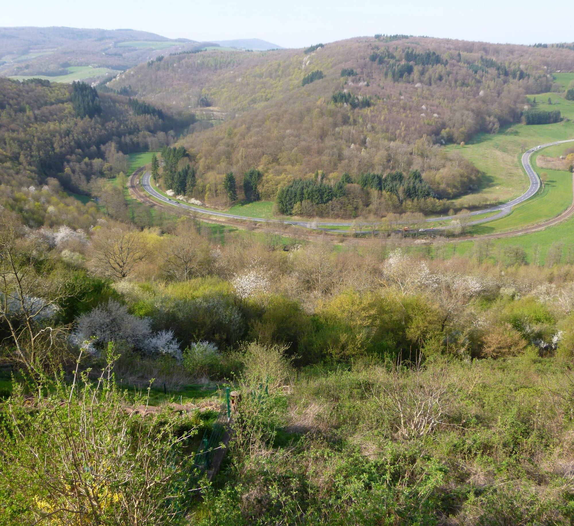
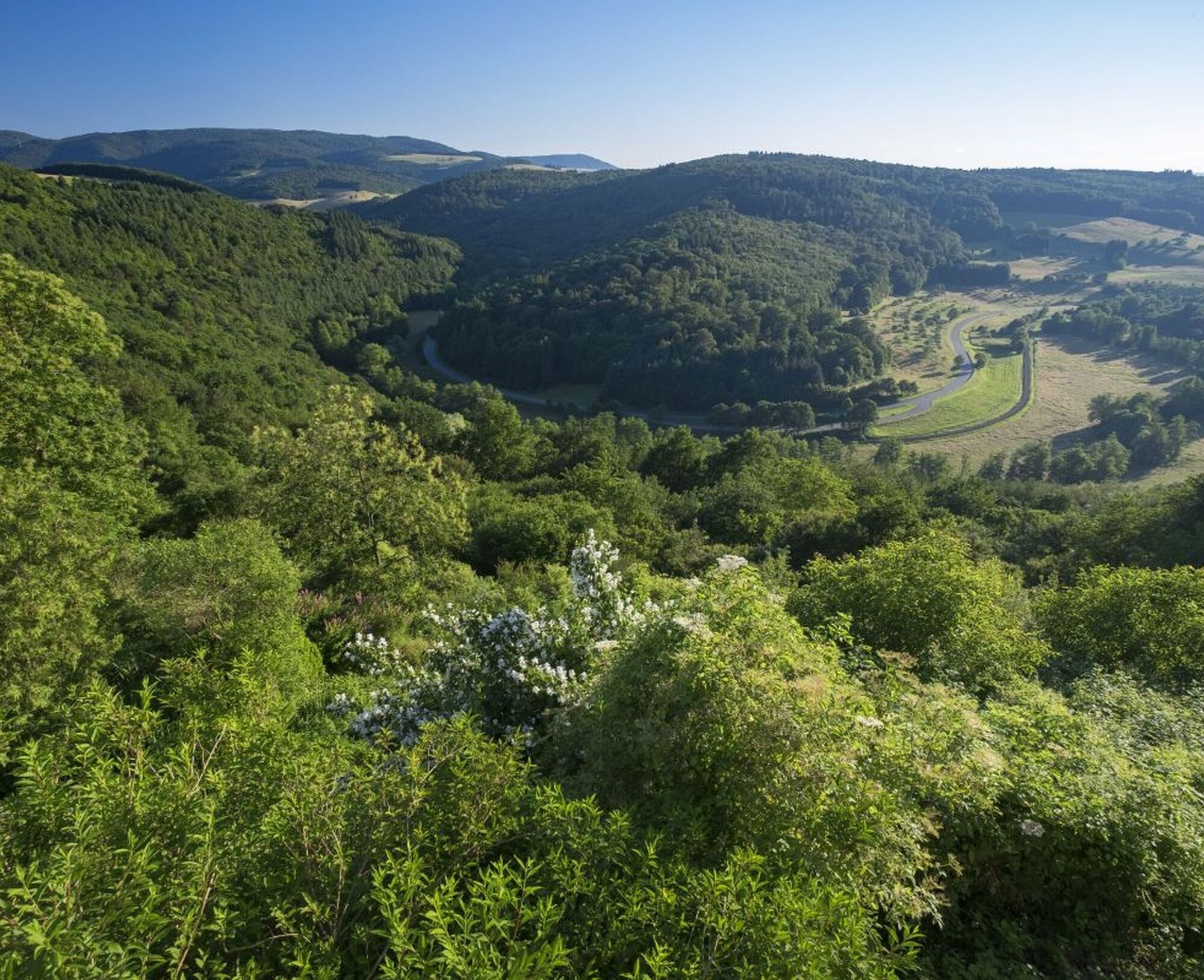
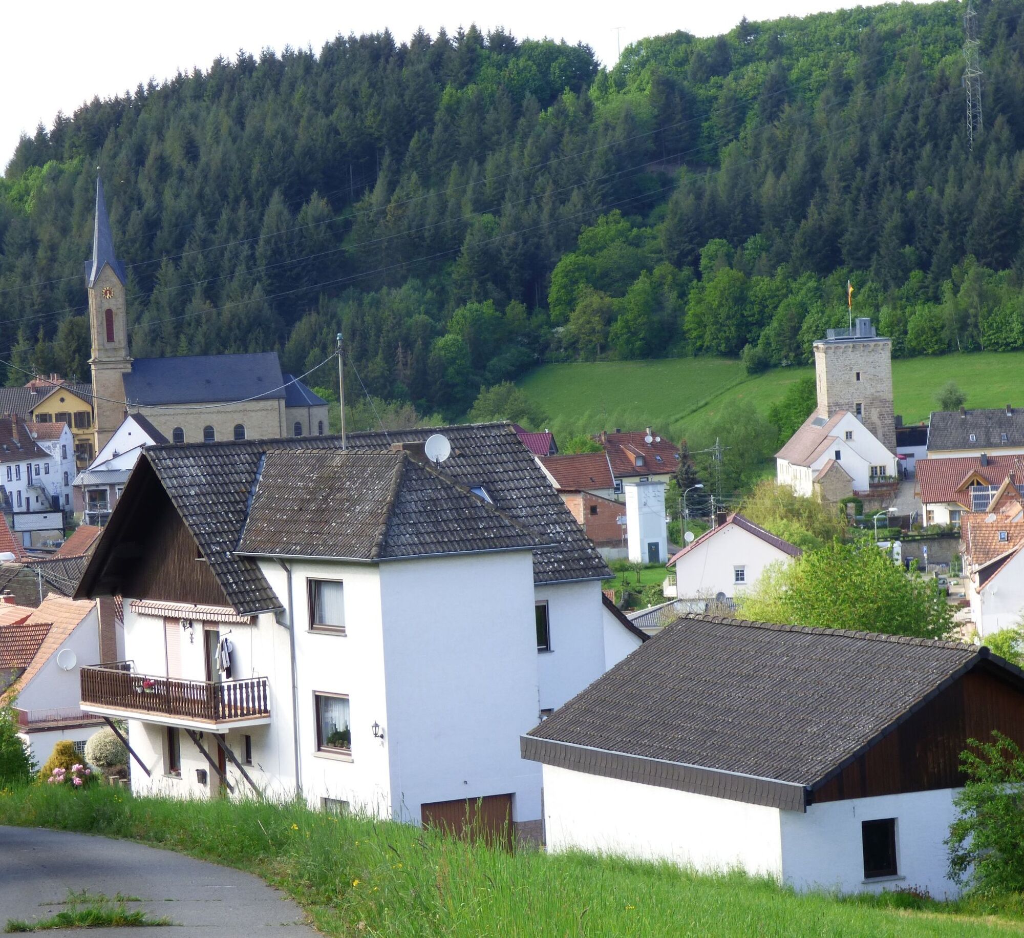
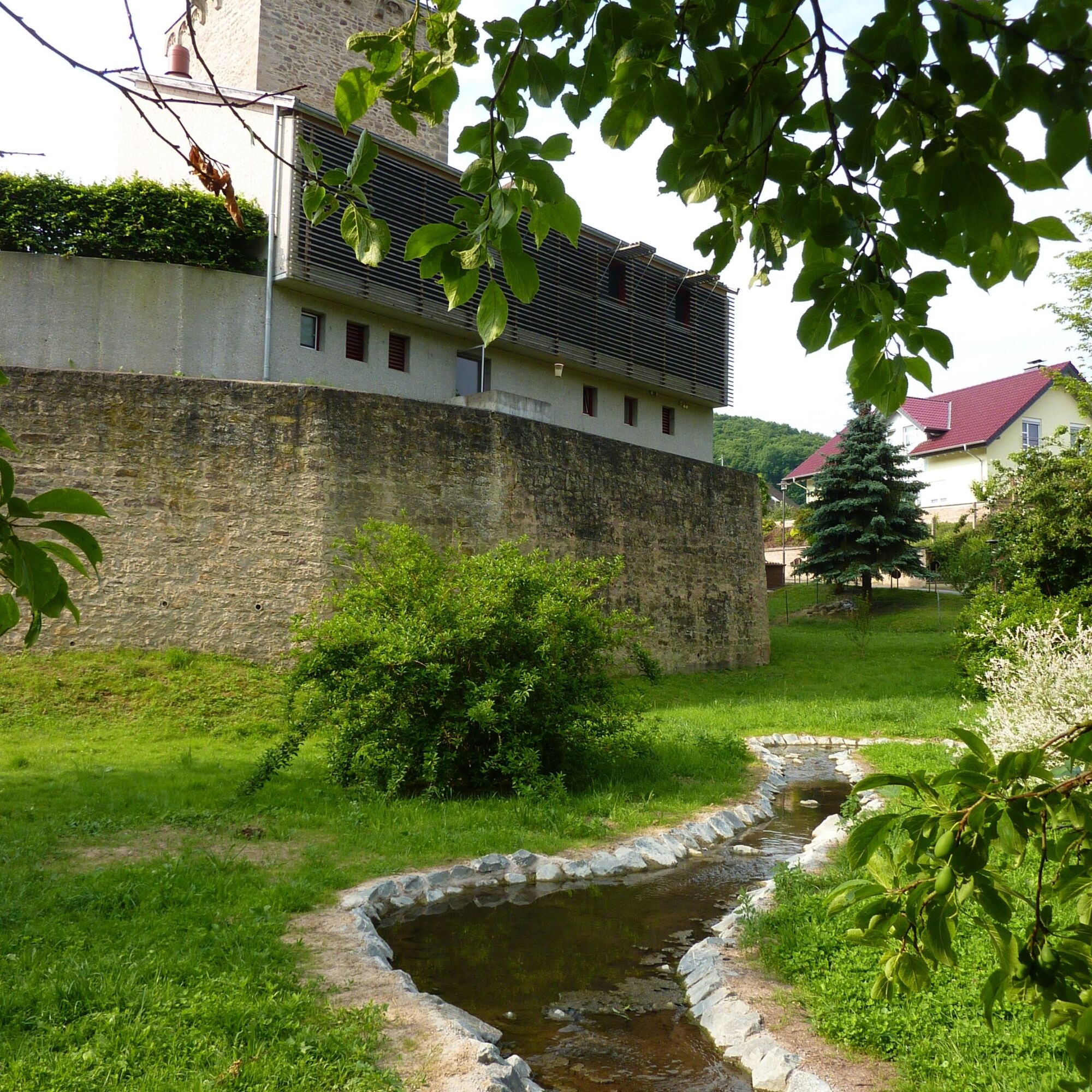
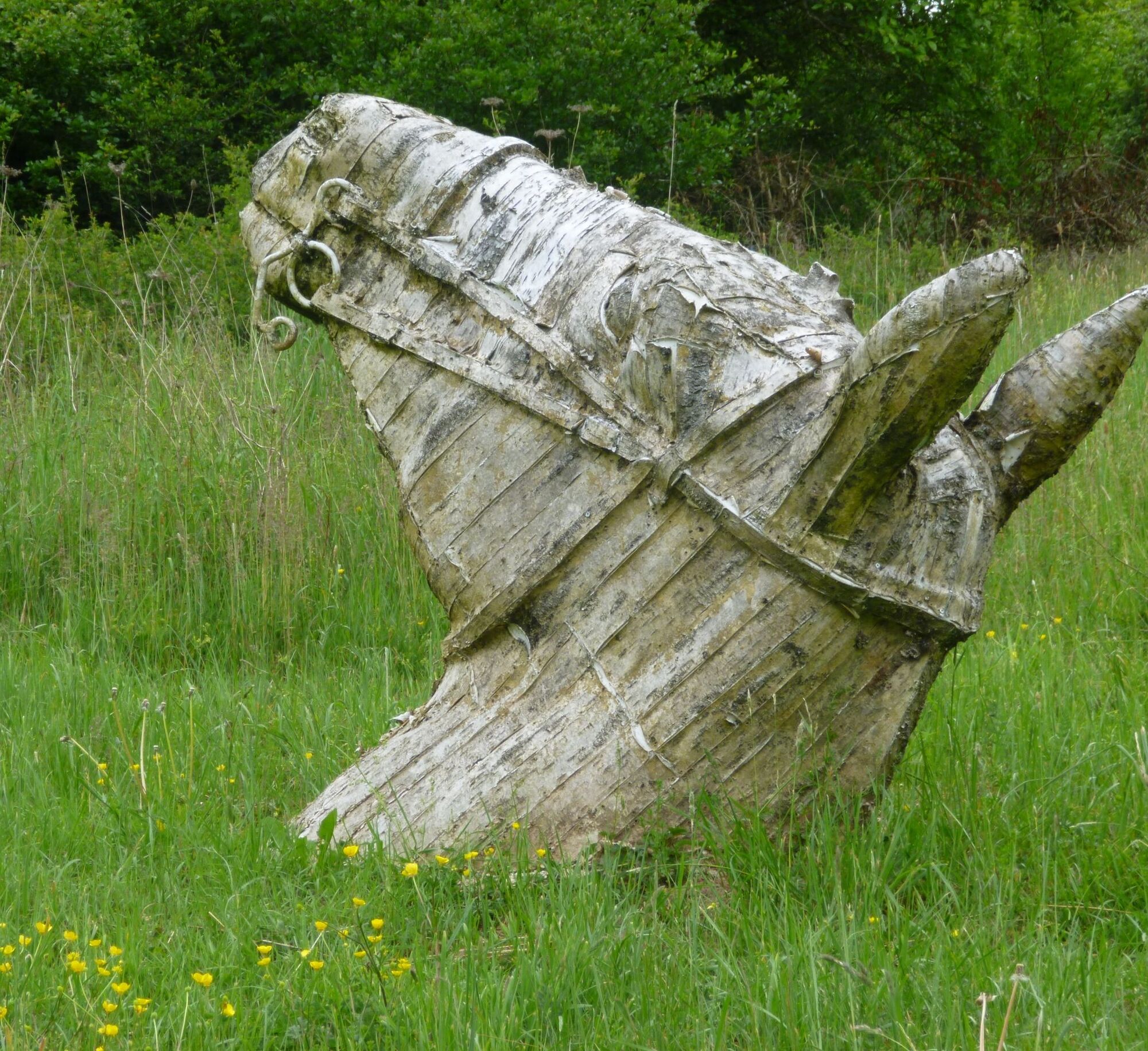
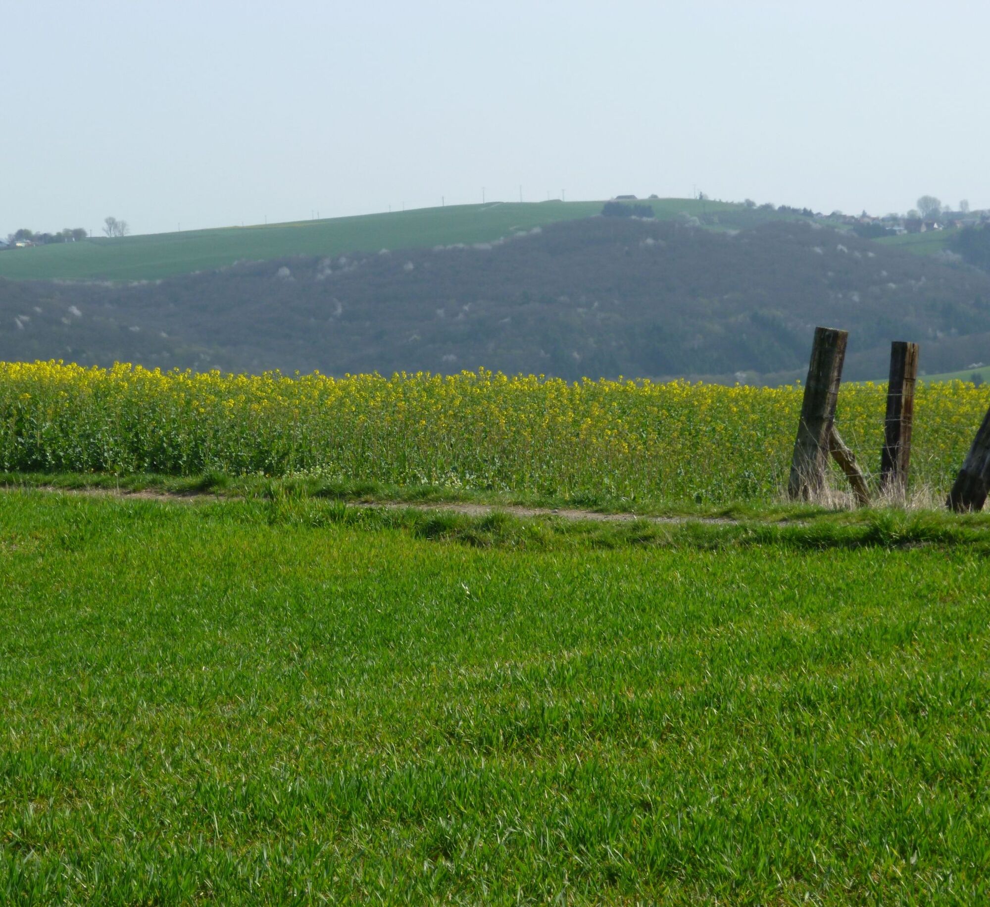
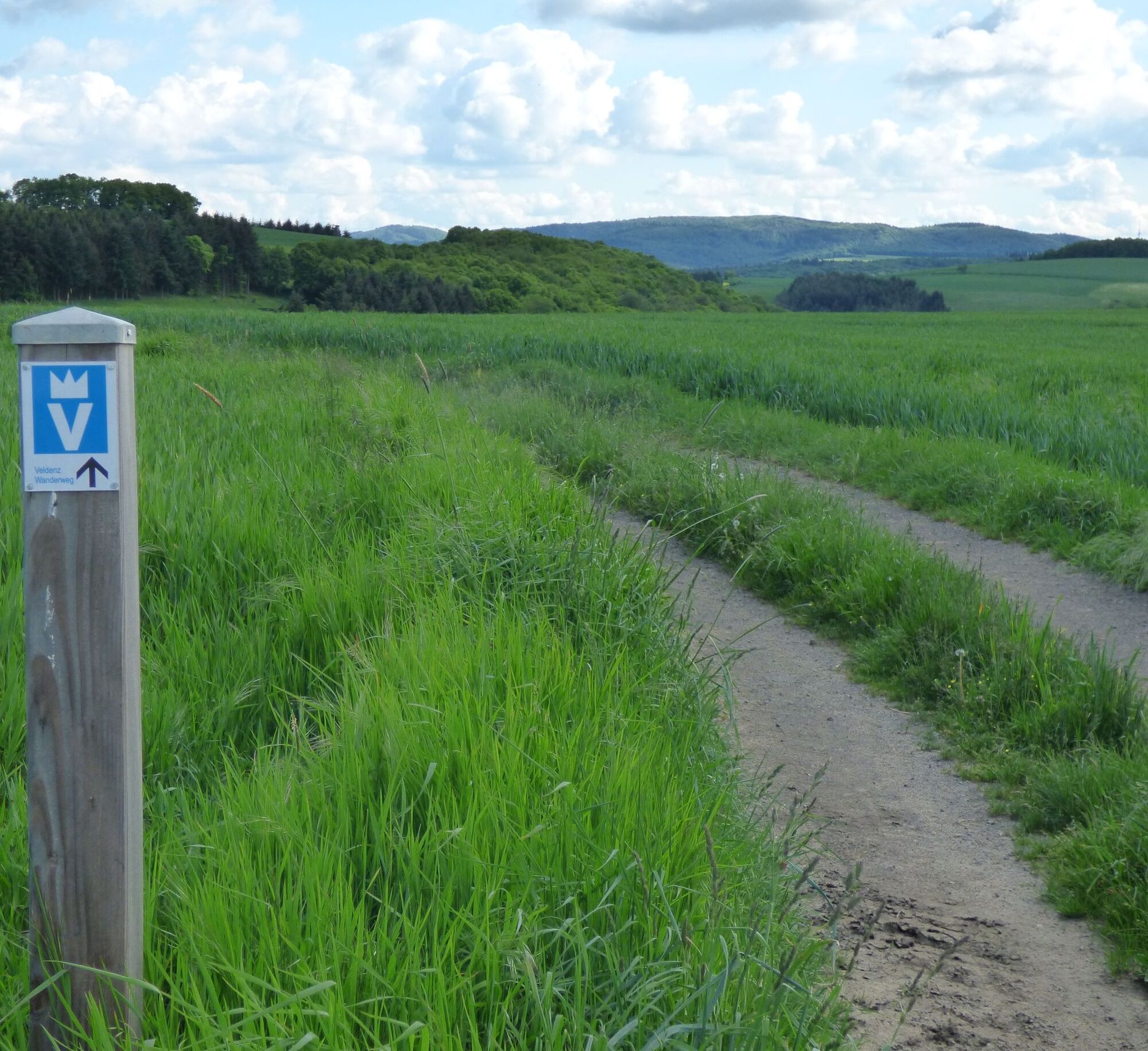
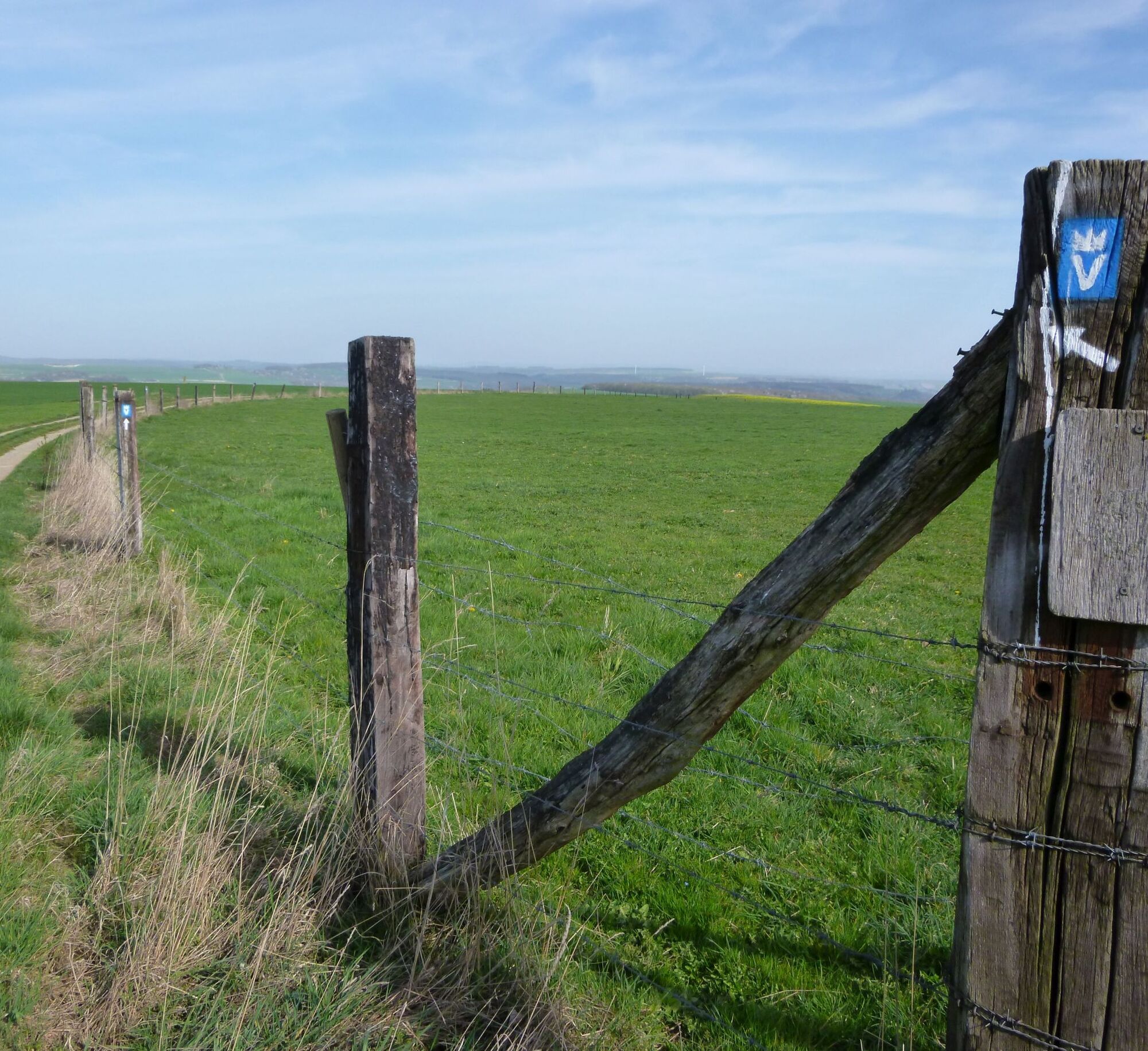
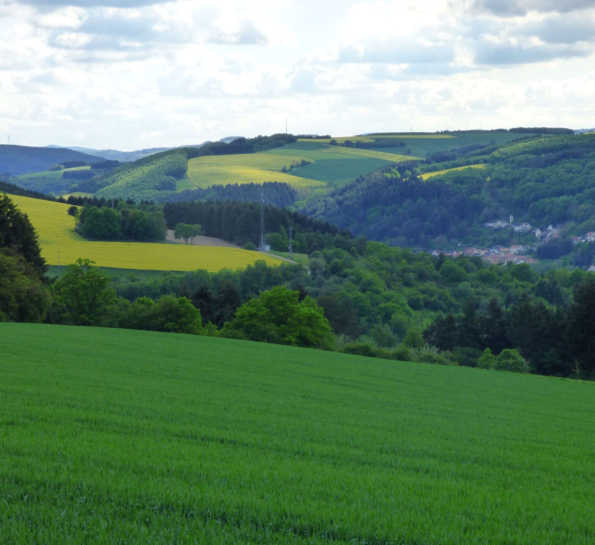
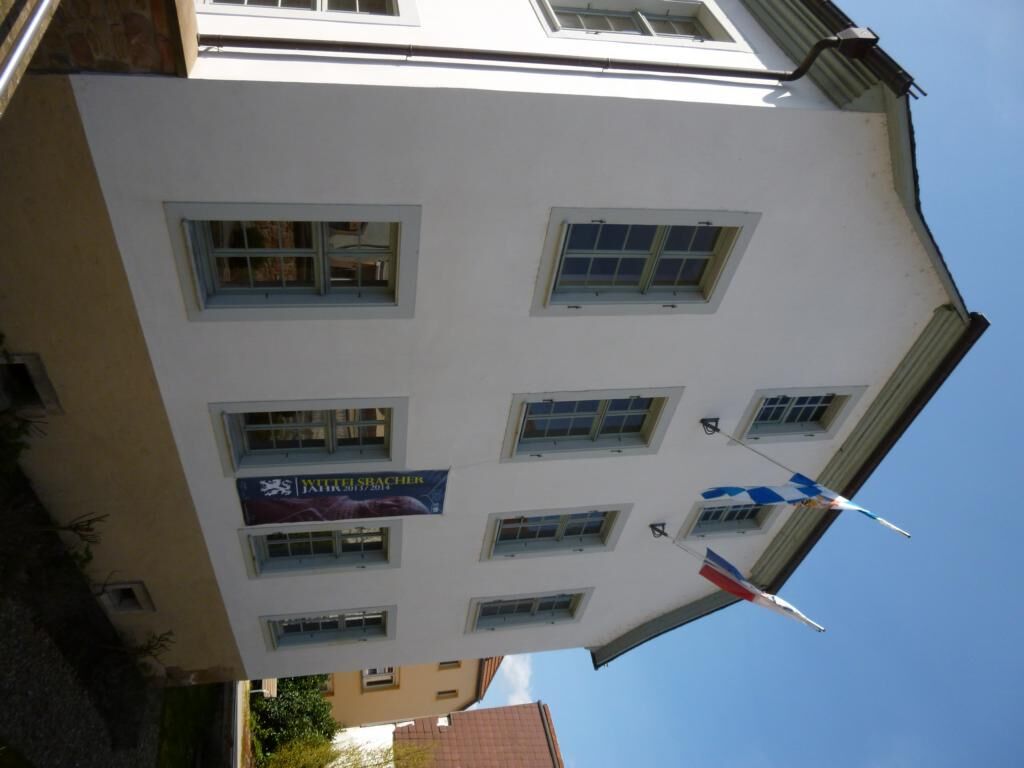
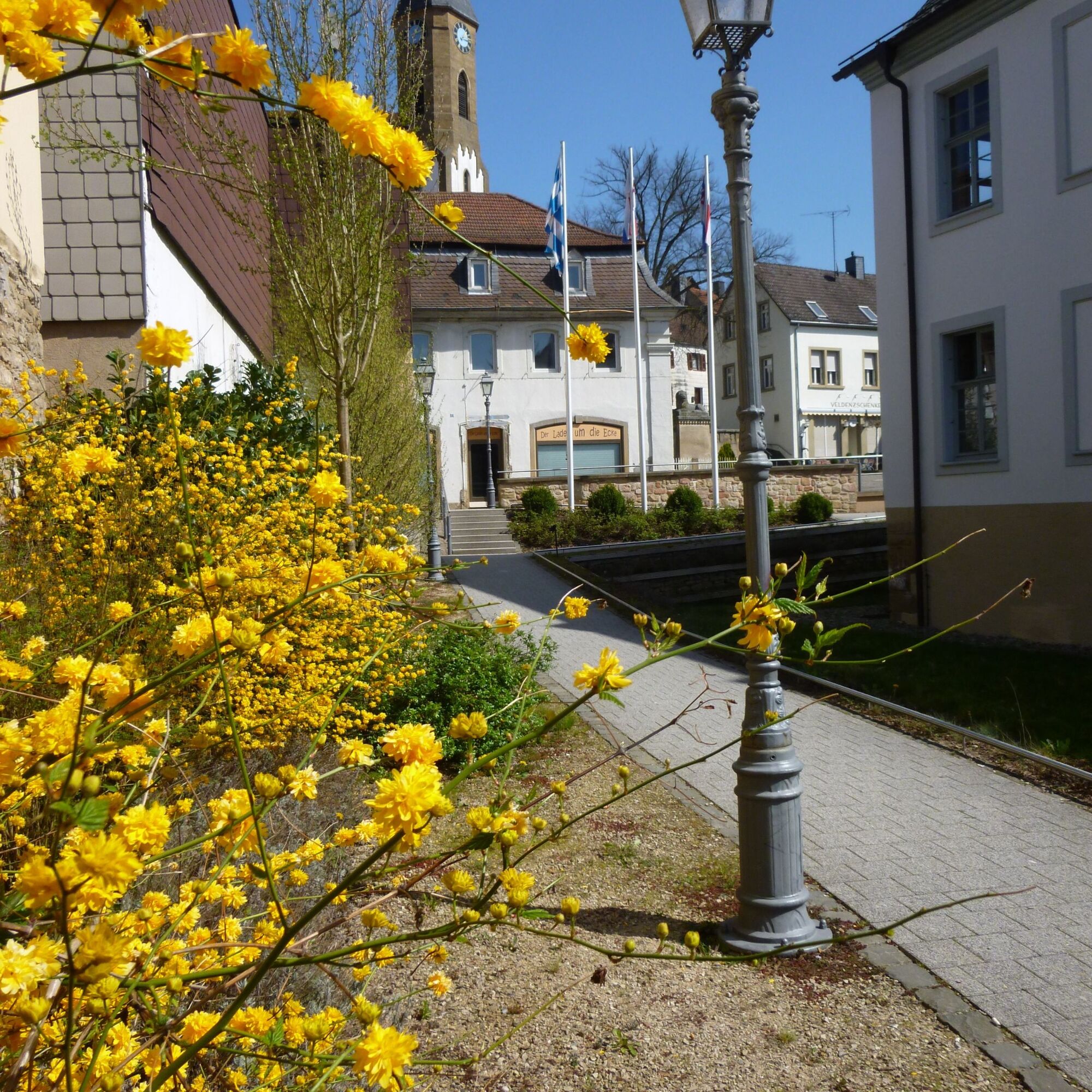
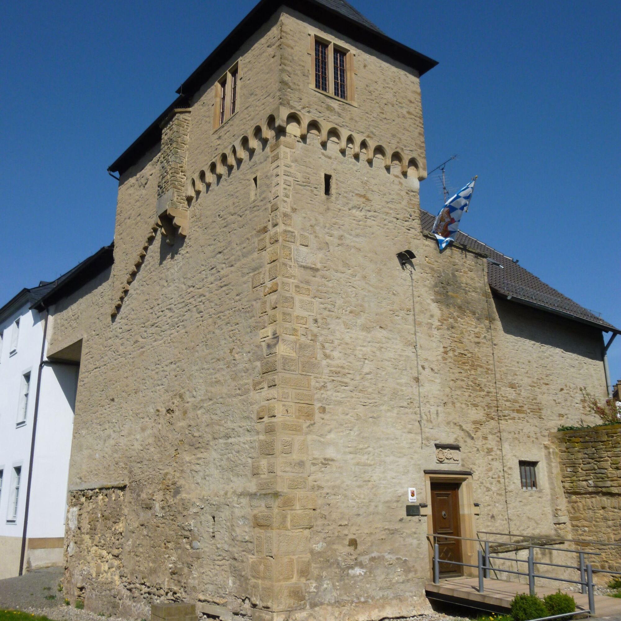

The Veldenz Hiking Trail starts directly at Burg Lichtenberg – marked with a large "Veldenz Gate".
Before the hike, it is worthwhile to plan time for a visit to the impressive and worthwhile castle complex with its museums.
Burg Lichtenberg remains in view for a long time along the hiking trail. Behind the heights of Körborn, the path slowly descends and soon after Ruthweiler we reach the district town of Kusel, the home of tenor Fritz Wunderlich.
From here, the trail ascends again to Blaubach – the climb is rewarded with a panoramic view from Ödesberg over Kusel. And now everyone understands why this landscape is called "Palatinate Highlands".
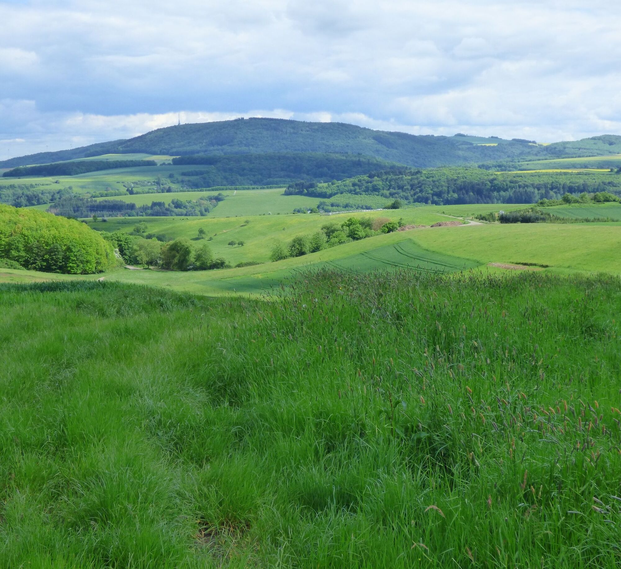
We descend to Erdesbach and reach on the next hill the typical dry grasslands of the Wartekopf Nature Reserve. We follow the natural path over the Brückenberg towards Rathsweiler and after the Kemmelsberg above Niederalben we can see the next highlight of this tour on the opposite valley side – the "Mittagsfels".
Past the Horbach Pottery (Christoffelsmühle), then along the Steinalp, we cross the road to Niederalben after the sports field, keep left and follow the road up to the cemetery and turn left again.
On the ascending rocky path, the hiker will find an impressive volcanic rock formation and fantastic views of the "Steinalp Loop". Protected plants like the Pasqueflower bloom here in spring. One should take time here to enjoy this breathtaking natural landscape.
After passing through the beautiful village of Glanbrücken, the hiking trail leads on quiet paths back up to the heights, where the effort is rewarded with magnificent views.
After Nerzweiler, above Aschbach, the Palatinate Ridgeway, another quality trail, crosses the Veldenz Hiking Trail. Via the Palatinate Ridgeway you reach the small town Wolfstein.
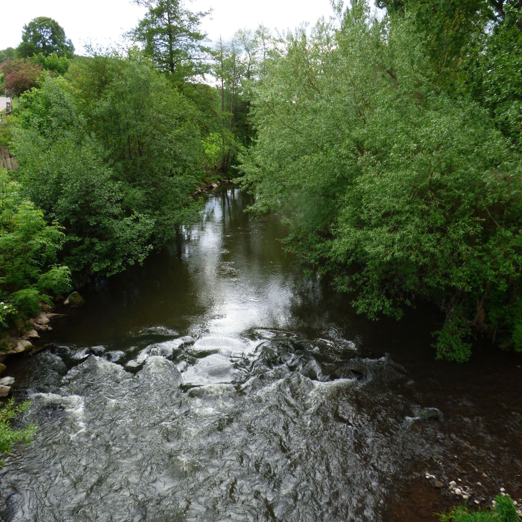
Through a wonderful forest where you can feel the peace and quiet, we come to the Lauter Valley, to the Ziegelhütte. After passing under the B 270, the Veldenz Hiking Trail runs through the Veldenz village Heinzenhausen and winds past old vineyard walls and vineyards up to Hohenöllen.
Here opens a view into the Lauter valley to the "Lauter Loop", which scores with its magnificent outlook.
The hiker now crosses the Sulzbach valley and reaches the Hostätterhof, impressive in its size (cattle breeding), belonging to the municipality of Einöllen. Through a small wood and fields, with many distant views, we arrive at the Ausbacherhof.
Two agricultural family businesses with direct marketing as well as an educational and adventure farm invite you to linger. On the now varied section around the Steinkopf, you can really escape everyday life.
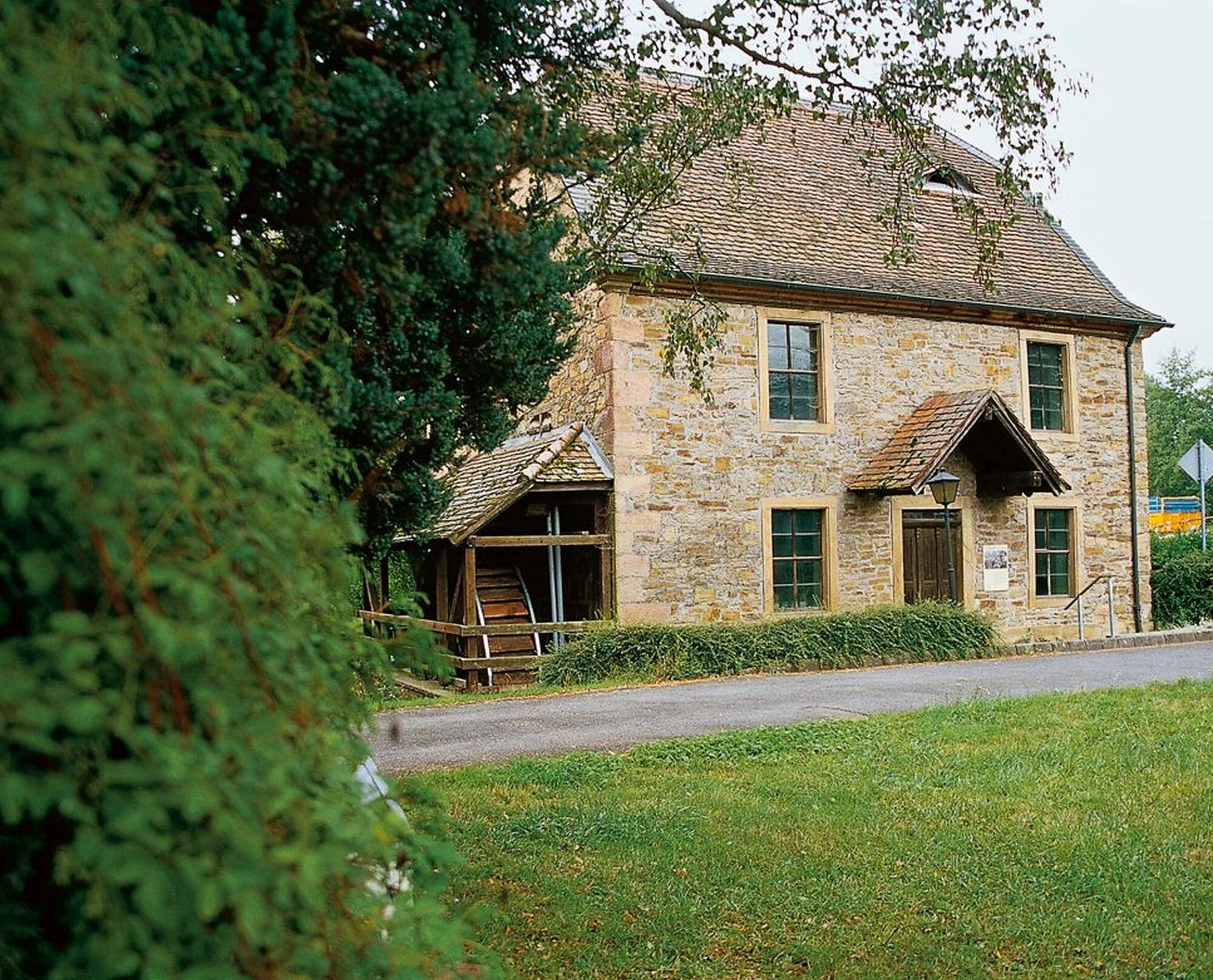
We reach Reipoltskirchen, walk through the village to the Water Castle and to the Sculpture Path, which leads once around the castle. The sculptures are continually supplemented by landscape art, the "Art in the Green".
The Water Castle Reipoltskirchen has been extensively restored in recent years and is a true gem with the flooded moat and the imaginatively designed railings. It is worthwhile to visit the castle here and then stop for refreshments.
The grand "wide views" of the Palatinate Highlands, which accompany the hiker on the heights, reward the ascent to the next Veldenz village Cronenberg.
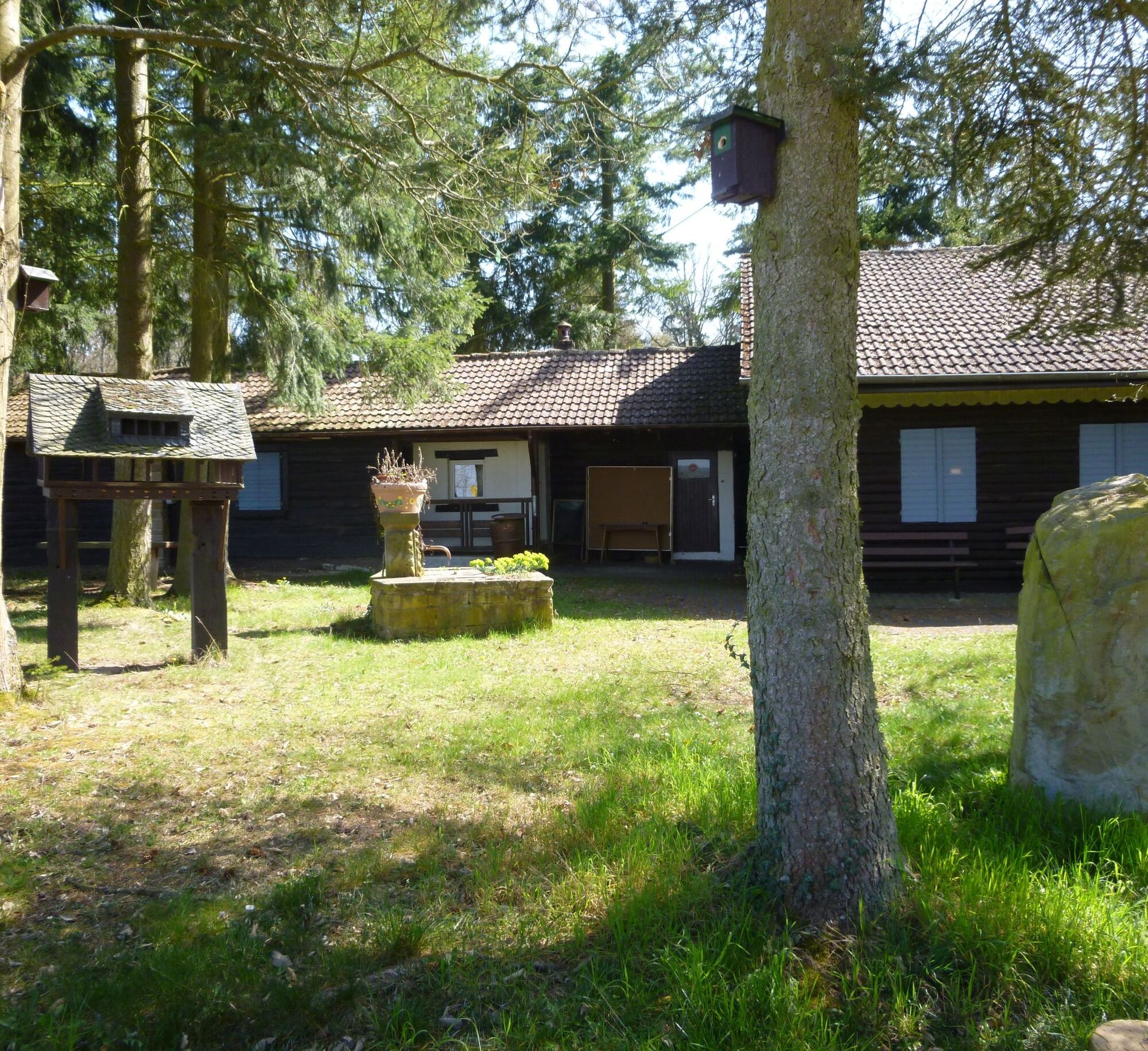
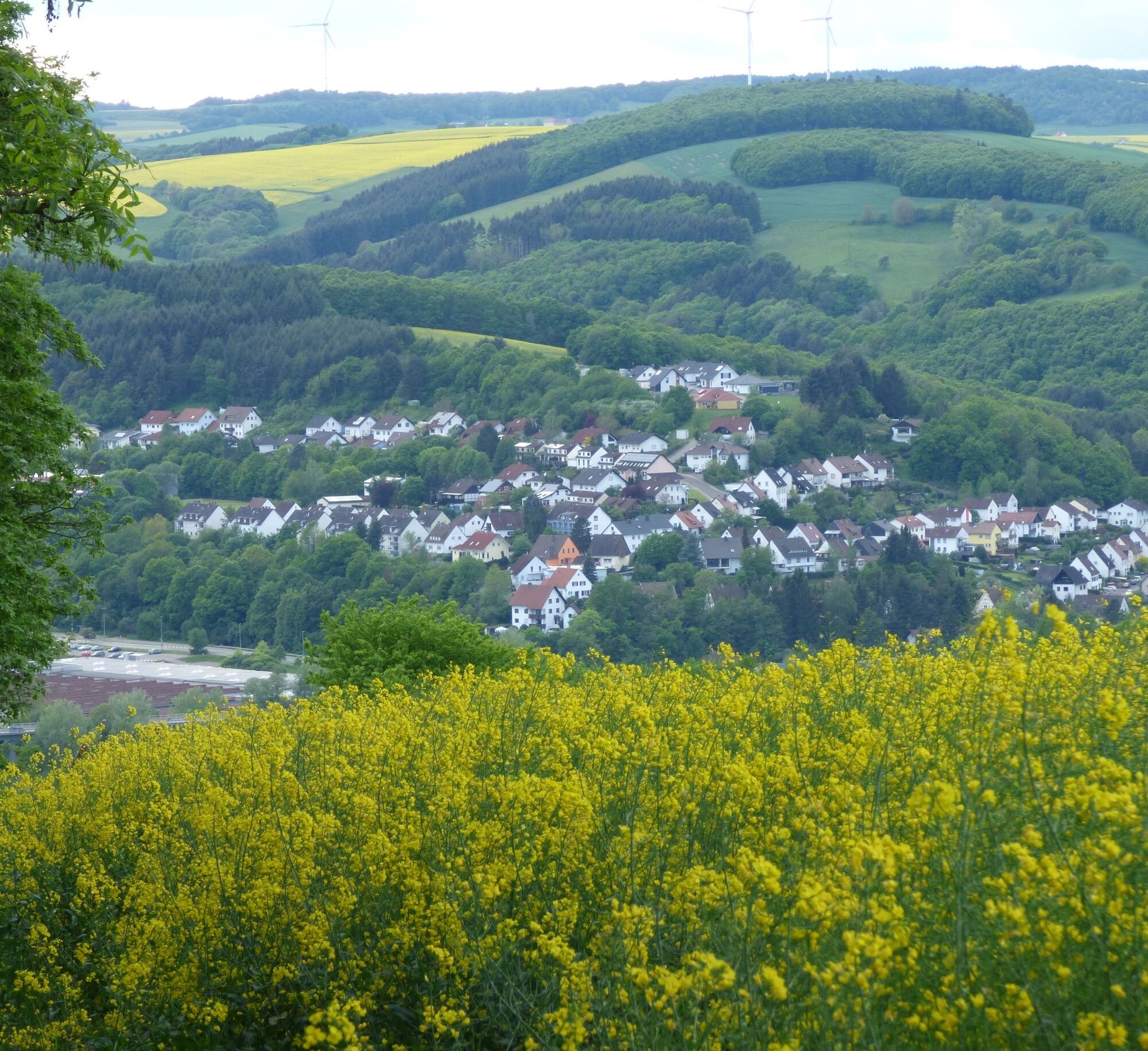
Following a small stream, we cross the Sulzbach valley again and, having reached the hill, leave the forest and approach the hut "Am Weiher" (Palatinate Forest Club local group Lauterecken) with a wonderful view over the Veldenz town Lauterecken. The hut is open on Sundays from Easter to autumn.
Now it’s only downhill, your feet almost walk by themselves to Lauterecken. A perfect destination for a beautiful hiking trail! Over the years, the old town has been lovingly renovated and there is much to discover. There are also numerous opportunities to refresh and rest: whether in the town café, the Restaurant Lauterecker Toskana or the Palatinate Hof – you are well taken care of in Lauterecken for sure.
Ano
For our hiking tours, we recommend the following equipment as standard:
- Sturdy footwear
- Weather-appropriate clothing
- Sun and rain protection
- Sufficient supply of food and drinks, as there are not always dining or shopping opportunities available or open.
- Even though the paths are very well marked throughout, it is recommended for safety reasons to always carry a suitable
hiking map, so that you can quickly find a safe area in case of thunderstorms or emergencies.
- Hiking poles recommended!
General notes:
Especially in autumn, be aware that fallen leaves may cover unevenness, roots, stones, or holes in the path. After thunderstorms or rainstorms, trees may still fall or branches may drop. During adverse weather conditions, natural paths may have muddy and slippery sections. Not all rocks or precipices are secured with ropes or railings. Surefootedness is required in places. You must expect such path impairments when hiking. If you consider certain path sections impassable for you, you should bypass them.
NOTE:
We strive to announce all closures caused by forestry or hunting on this platform. Nevertheless, there may be situations where trails are closed and we might not be informed. If you unexpectedly encounter a trail closure or detour, please observe the instructions for your own safety.
via the A62 exit Kusel - Ruthweiler - Burg Lichtenberg
via A6 to exit Kaiserslautern West / continue via B270 to Lauterecken
By train to Kusel, Saarpfalzbus No. 297 (Castle Bus) to Thallichtenberg, Burg Lichtenberg;
By train to Lauterecken;
Info: www.vrn.de
Parking at Burg Lichtenberg (also motorhome parking), 66871 Thallichtenberg, Burgstraße 12
Coordinates: Longitude: 7° 21' 29" / Latitude: 49° 33' 24"
Public parking at Lauterecken train station.
Coordinates: Longitude: 7° 35' 28" / Latitude: 49° 39' 12"
Municipal Association Kusel-Altenglan (Tourism)
Marktplatz 1, 66869 Kusel
Phone: 06381 / 6080123
Website: https://vg-kusel-altenglan.de/vg/tourismus/
Email: Tourismus@vgka.de
Municipal Association Lauterecken-Wolfstein (Tourism)
Schulstraße 6a, 67742 Lauterecken
Phone: 06382 / 7910
https://www.vg-lw.de/freizeit-tourismus/
Email: info@vg-lw.de
Veldenz Hiking Trail www.veldenzwanderweg.de
Palatinate Highlands www.pfaelzerbergland.de
Burg Lichtenberg www.burglichtenberg.de
Pottery "Creative" www.toepfernkreativ.de
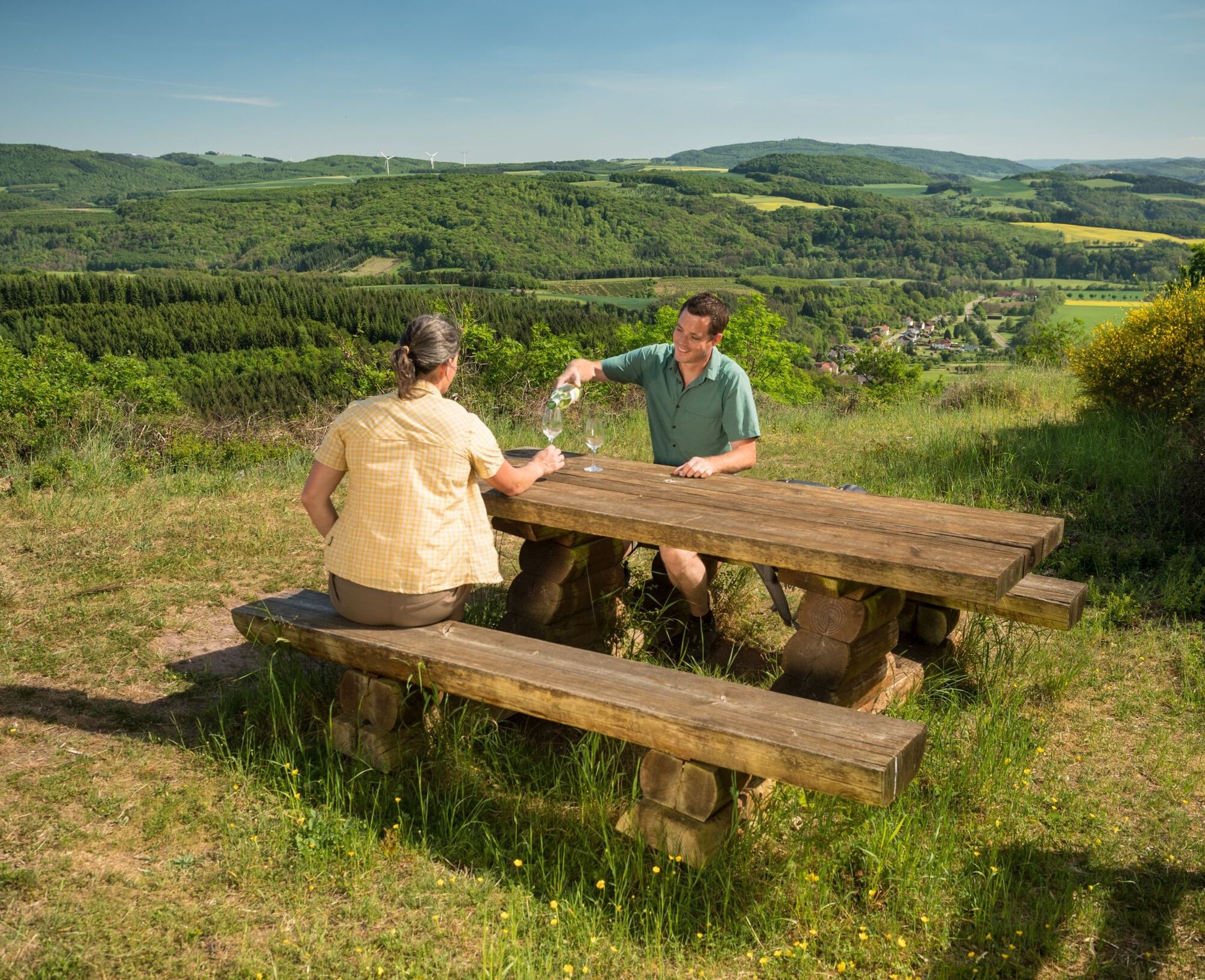
Romantically situated benches invite you to rest and marvel along the way.
Dining Opportunity
Hiking Menu Palatinate - The Most Beautiful Hiking Trails
Oblíbené prohlídky v okolí
Teufelstour - Olsbrücken
heavyTuristika 15.1 km- 5.0
Traumschleife Bärenbachpfad (Dream Loop Bear Creek Trail Baumholder)
středníTuristika 15.2 km - 5.0
Glan-Blies cycle path | Waldmohr - Staudernheim
středníCyklistika na velkou vzdálenost 74.9 km Katzweiler - mill circular hiking trail
světloTuristika 13.1 kmWolfstein - summit trail to Königsberg
heavyTematická stezka 8.11 kmLauter Valley cycle path
světloJízda na kole 36.1 km- 5.0
Potzberg Hiking Trail
středníTuristika 14.7 km Glan-Blies Cycle Route | Family route »Storks, churches & rail cycles«
světloJízda na kole 32.4 kmHorschbach - Herrmannsberg high route "Panorama route"
středníTuristika 9.39 kmRemigius hiking trail - entire route (Kusel near Rothselberg - connection to the Palatinate Ridgeway)
heavydálková pěší trasa 46.8 km
Pěší turistika a stopování


Nenechte si ujít nabídky a inspiraci pro vaši příští dovolenou
Vaše e-mailová adresa byl přidán do poštovního seznamu.





