







Remigius hiking trail - entire route (Kusel near Rothselberg - connection to the Palatinate Ridgeway)
The nearly 46 km long trail can be split into two or three stages. It shows what makes the Palatinate Forest so unique: valleys framed by ridges, natural idyll, and a chain of summits. The starting point...
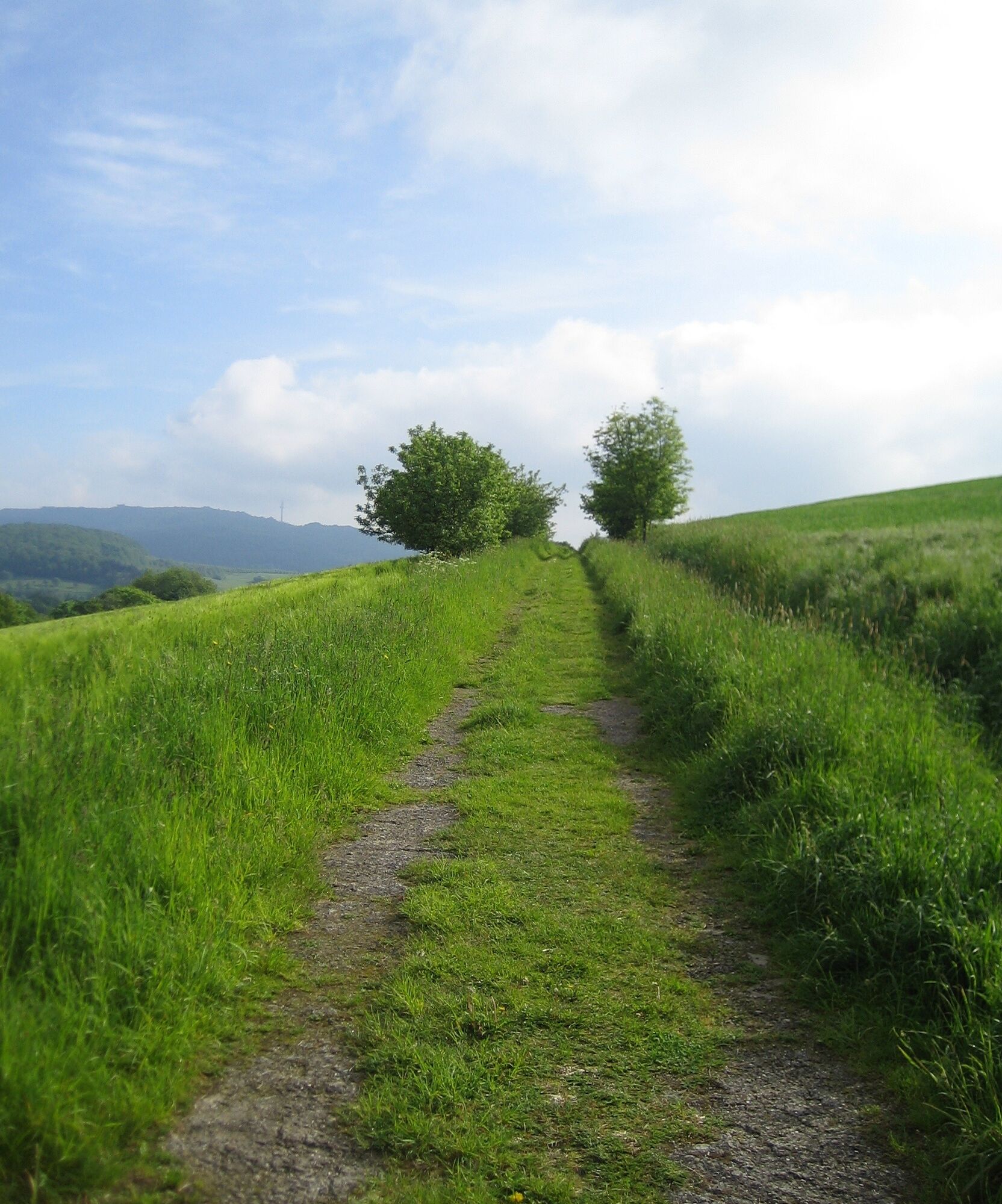
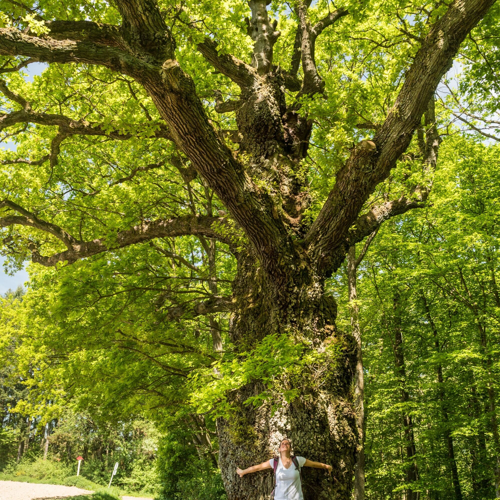
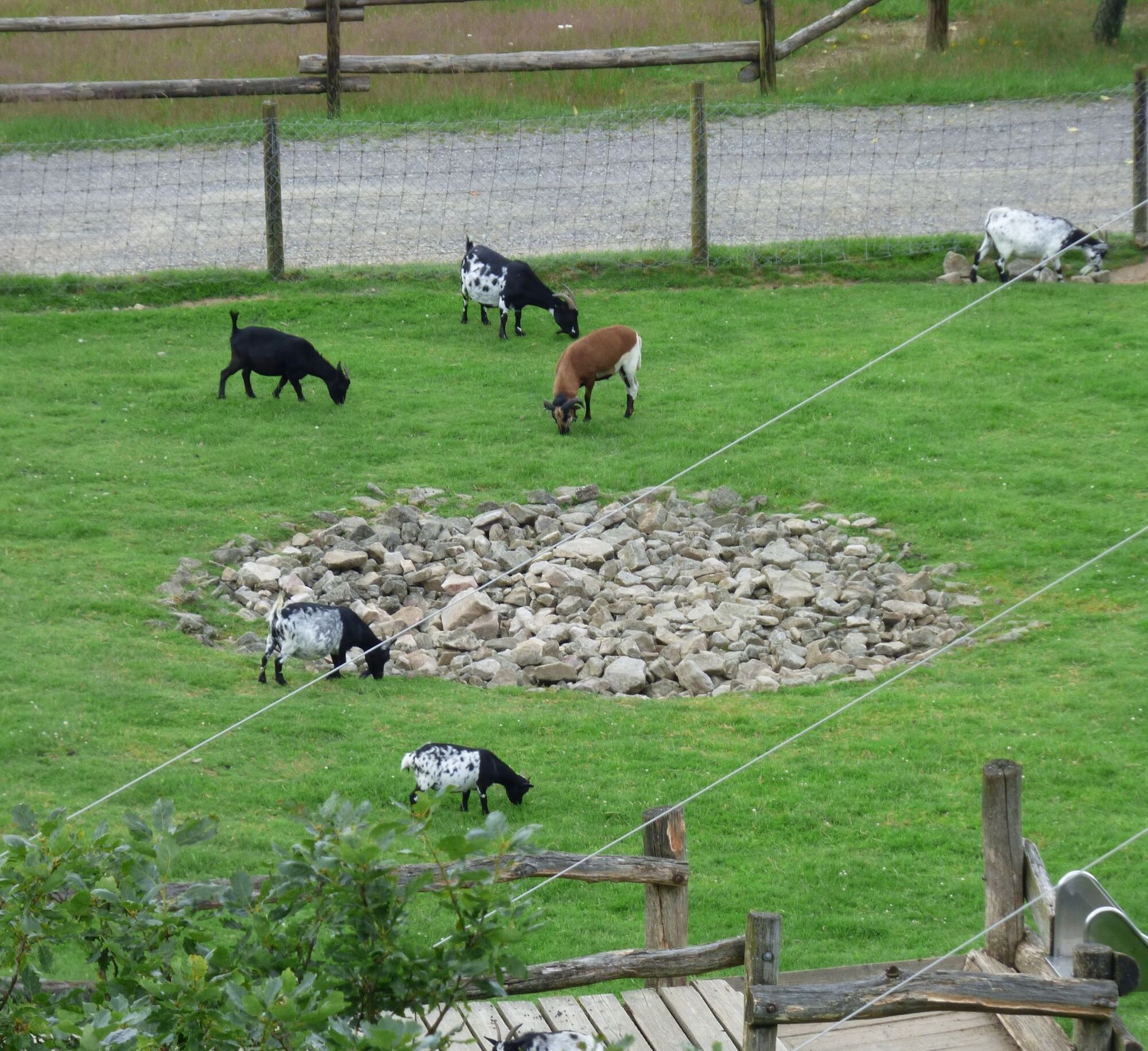
The nearly 46 km long trail can be split into two or three stages. It shows what makes the Palatinate Forest so unique: valleys framed by ridges, natural idyll, and a chain of summits. The starting point is Kusel train station, not far from the center and the Kusel city and local history museum with Fritz Wunderlich room. You hike past ponds and mammoth trees towards Haschbach. On the ascent to Remigiusberg, a detour to the Michelsburg ruin with provost church and a place to eat is recommended. Flanked by the rock walls of a quarry, you climb up by the Alte Burg ruin and the Stollenquelle spring. Slightly off the main trail, you can explore the Potzberg Wildlife Park, a managed hut, and an observation tower. Behind Ober- and Niederstaufenbach, the view opens again into the distance of the Palatinate Forest. Romanesque wall and vault paintings can be admired in the Wolfskirche (by prior arrangement). A short detour to the Kneipp water treading basin in Eßweiler provides refreshment before continuing the tour to the Sprengelburg ruin. At Selberg there is a connection to the Palatinate Ridgeway towards Wolfstein or Lauterecken.
From Kusel parking lot 1.5 km - Marking: White "R" on yellow background = access path to Winterhelle.
From Winterhelle 38.3 km - Marking: White "R" on blue background - main path to connection with the "Palatinate Ridgeway".
It joins the Palatinate Ridgeway in Rothselberg, which takes you about 7.5 km to Wolfstein.
UFFBASSE! - Campaign for considerate coexistence in nature
- Always behave in a foresighted, friendly, and considerate manner towards everyone you meet on the way.
- Take care of nature, do not destroy plants, and always stay on the paths.
- Remember a trash bag for the way and take your waste back home.
- Please always keep your dog on a leash. Other visitors and animals will thank you.
- For your own safety, observe all path closures, even on weekends.
- Park only in designated parking spaces. Leave room for emergency routes and agricultural machines.
- Yield to agricultural and forestry traffic, please.

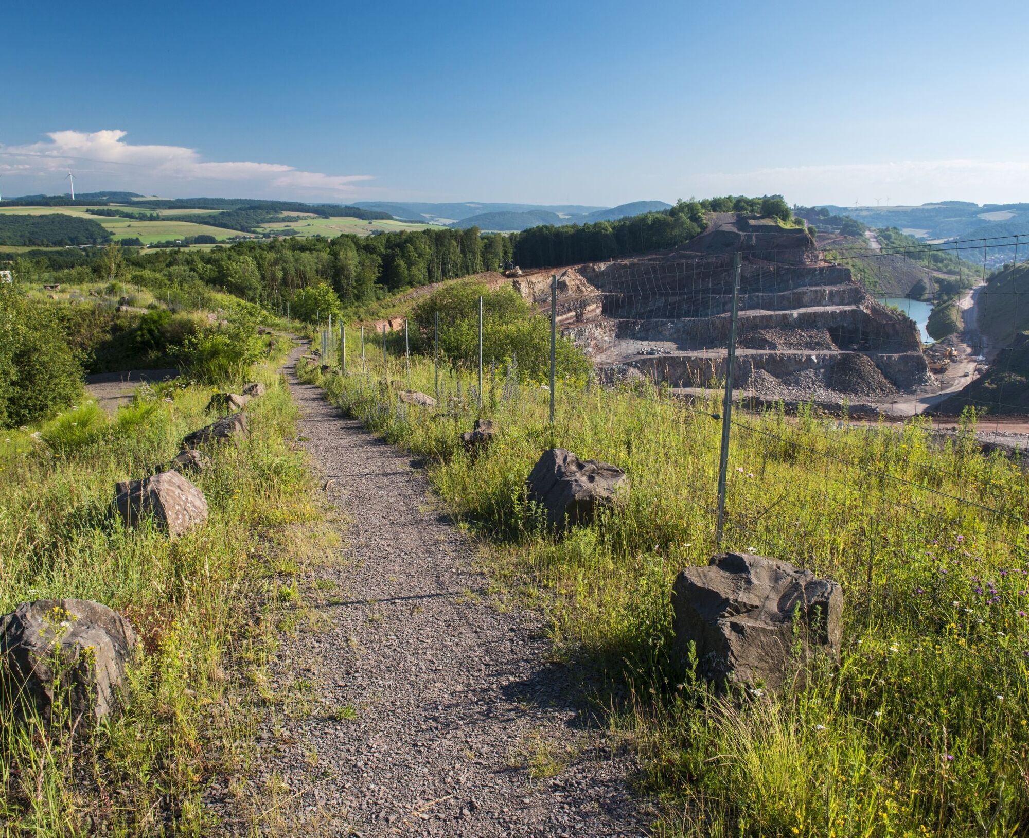
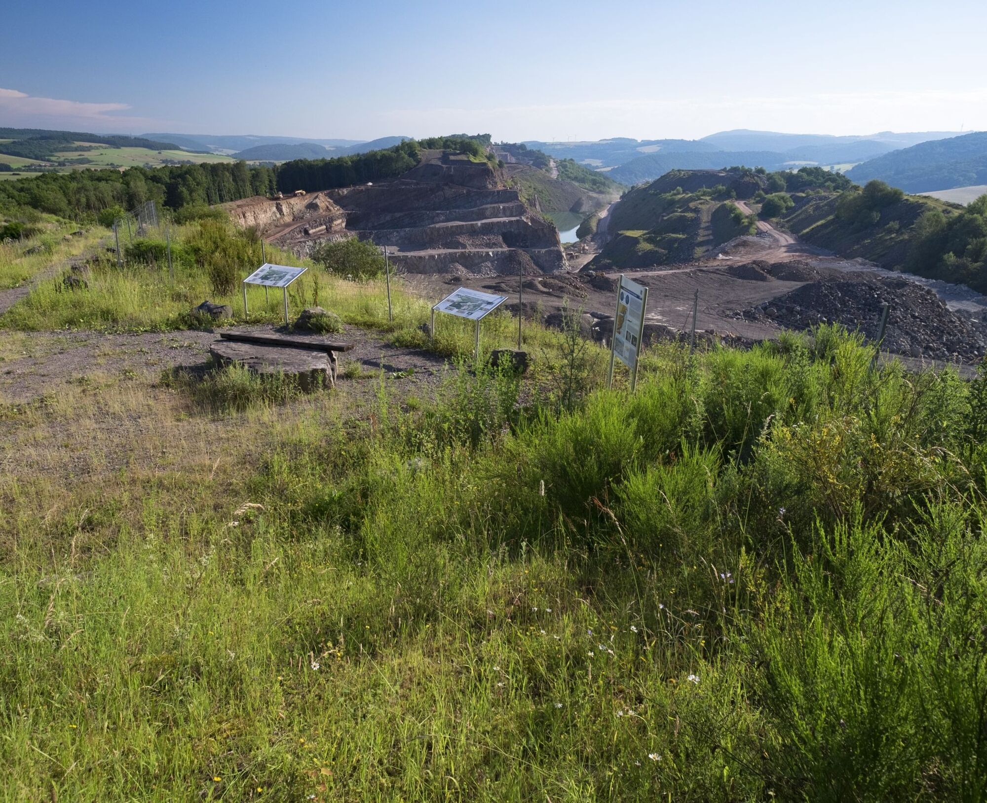
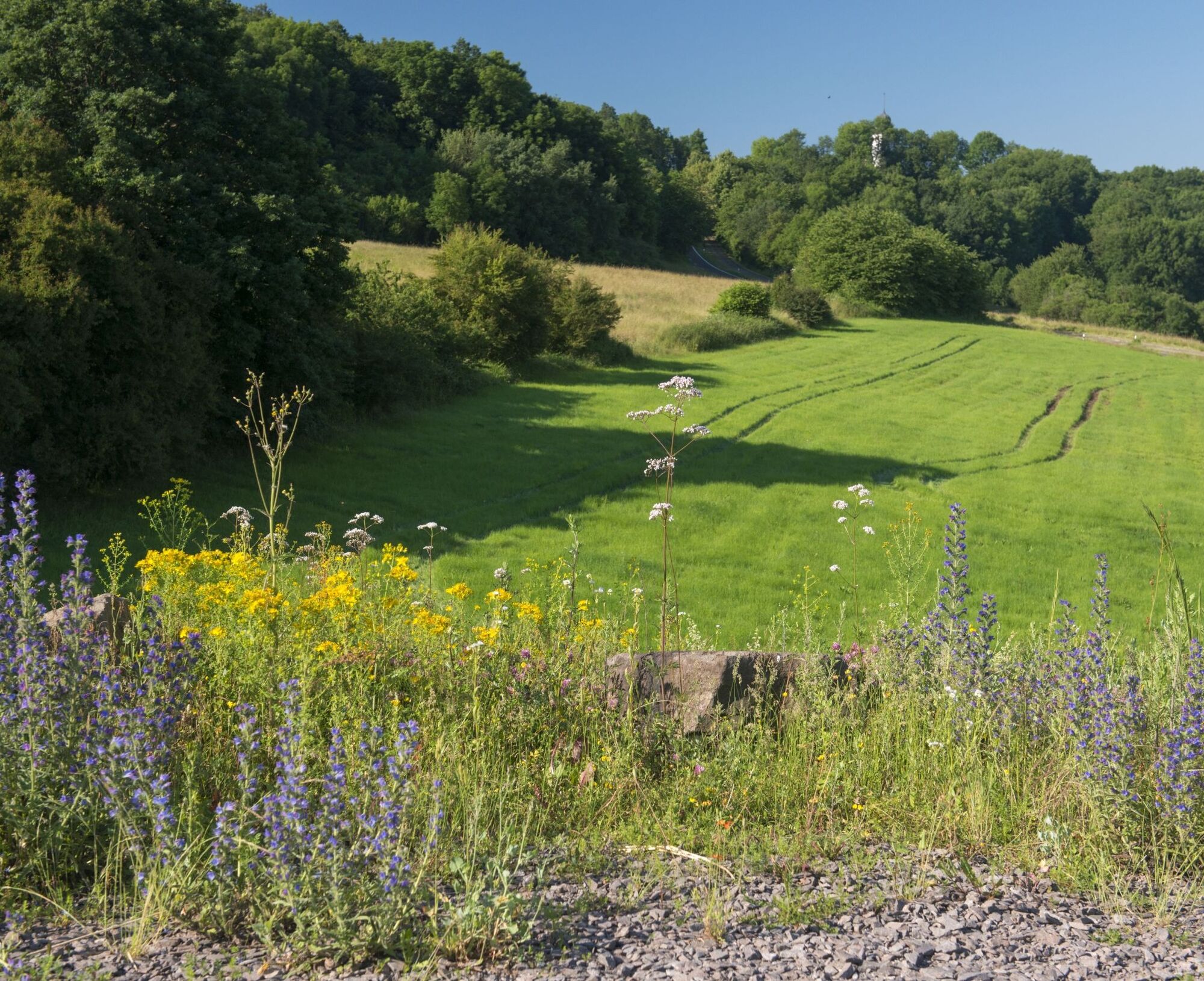
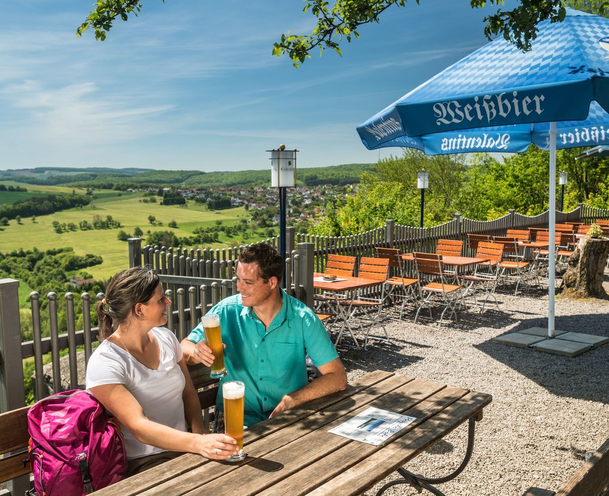
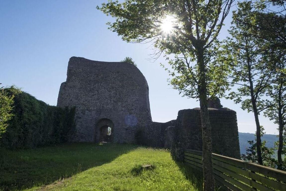
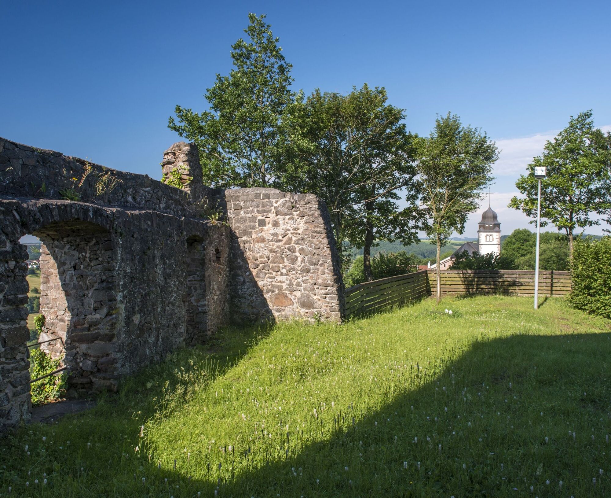
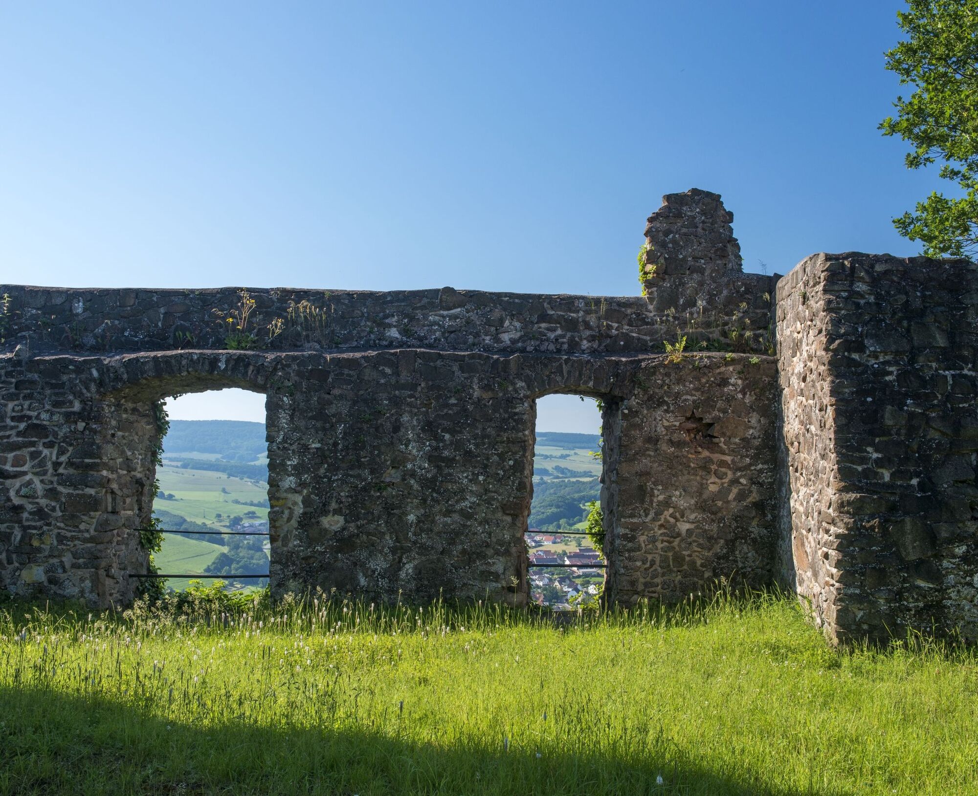
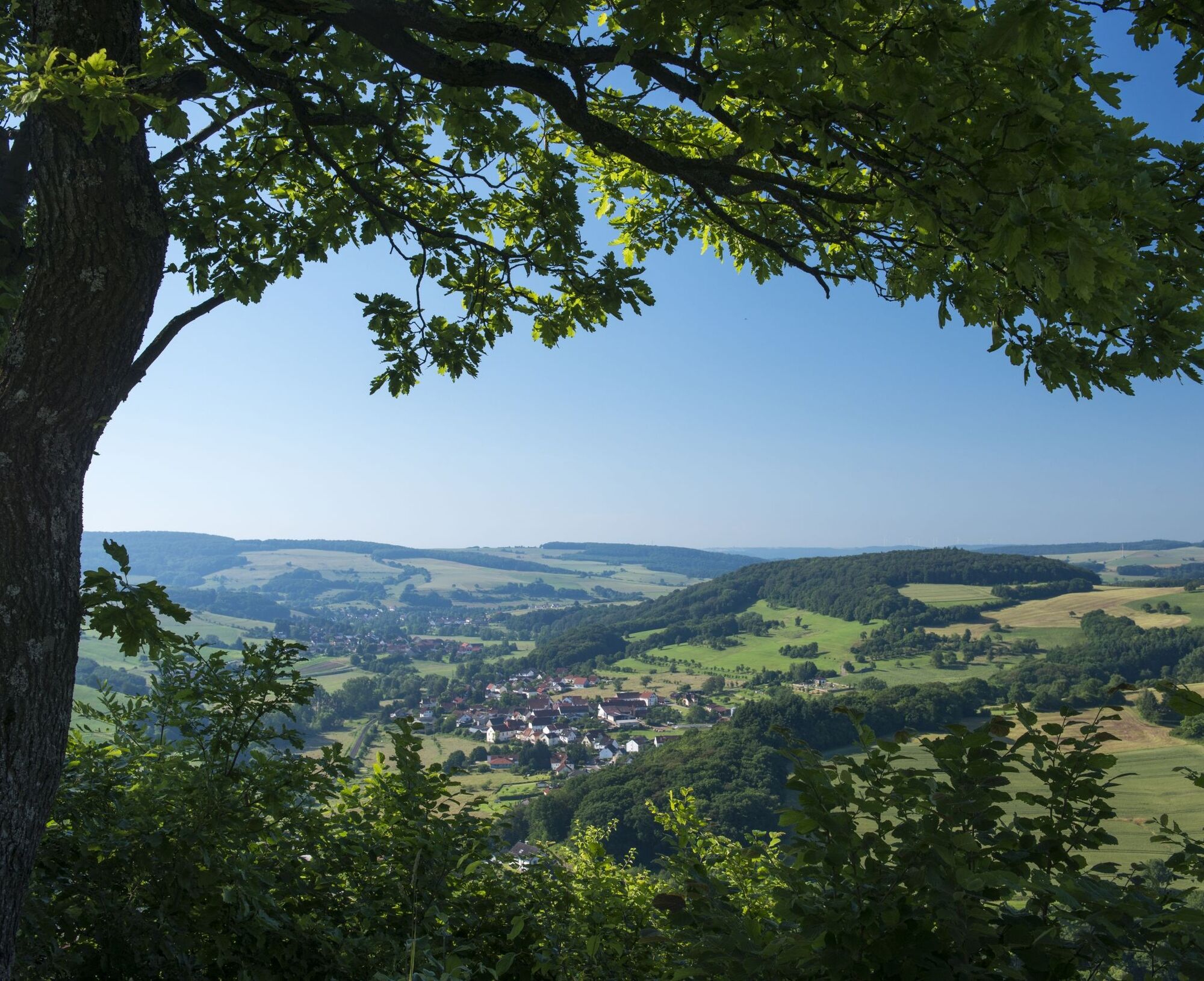
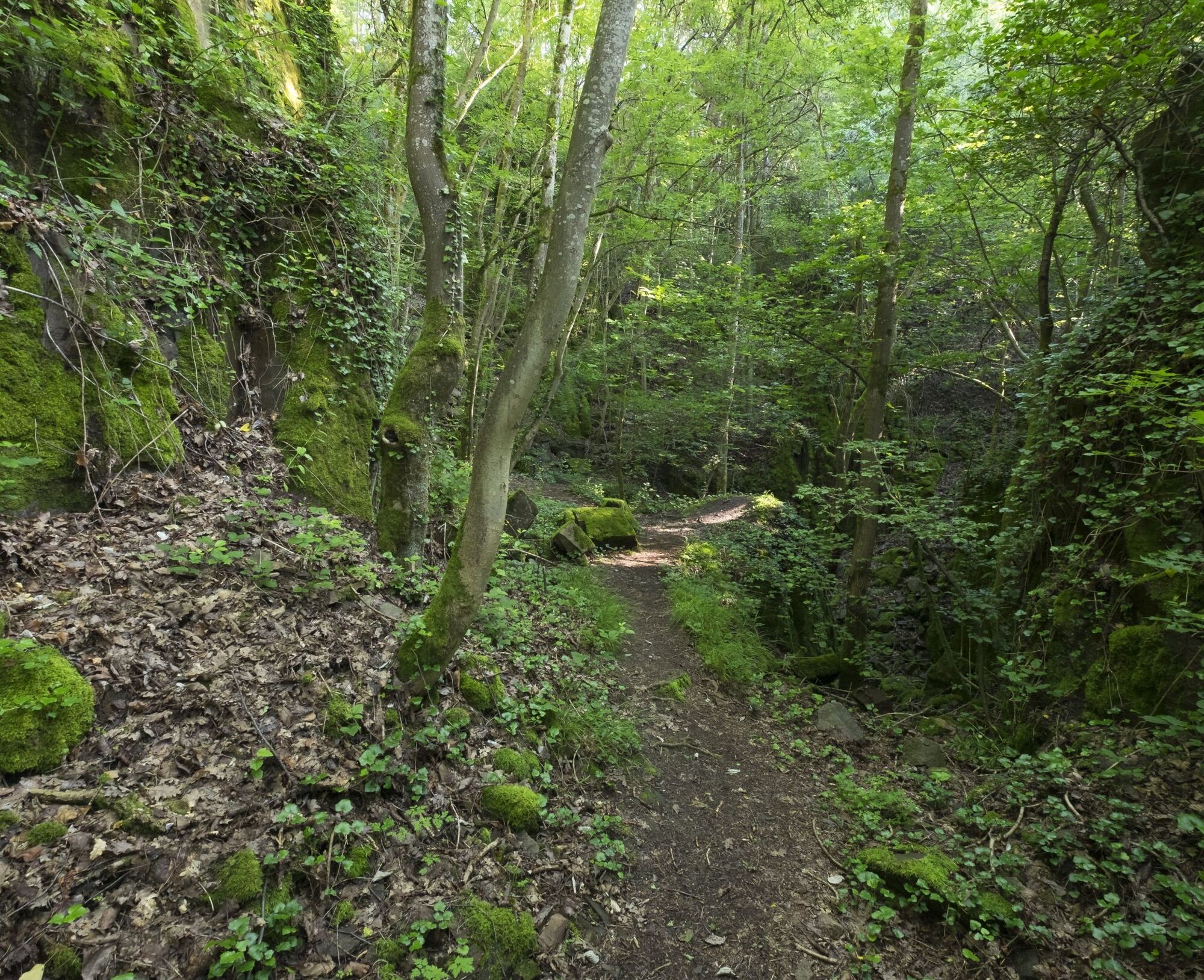
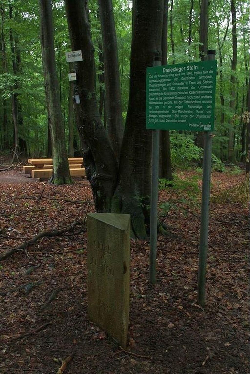
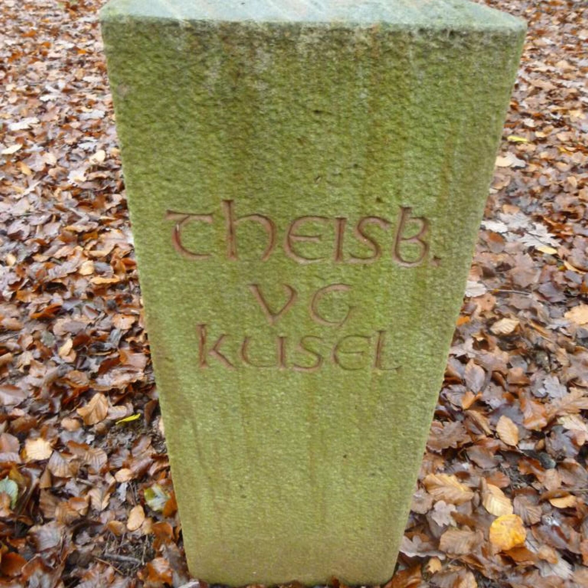
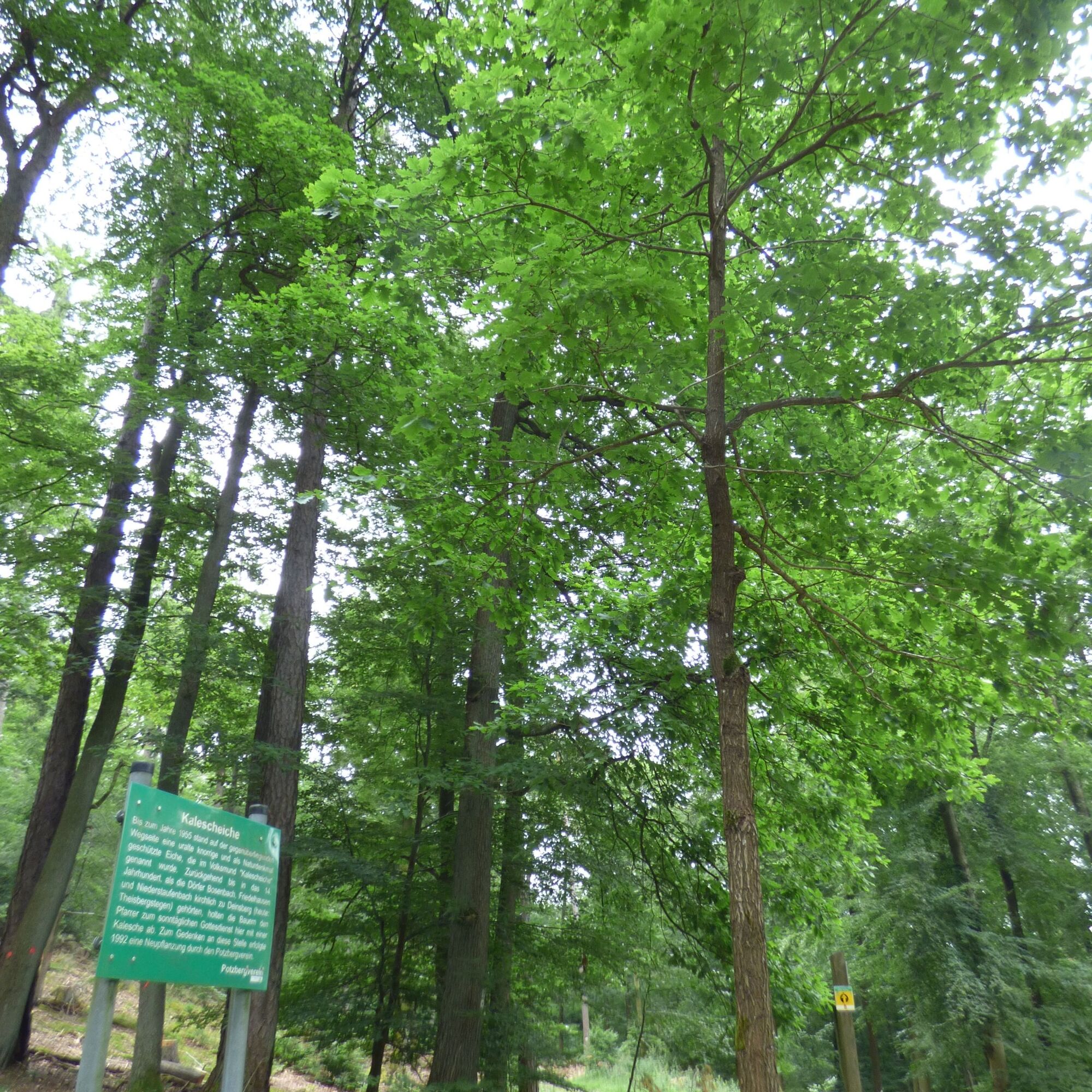
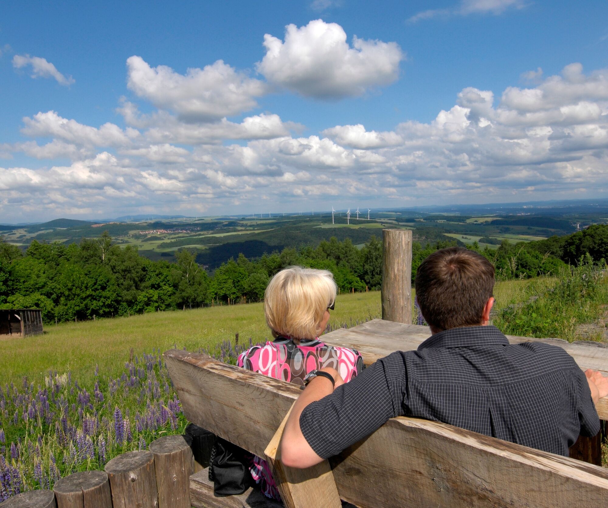
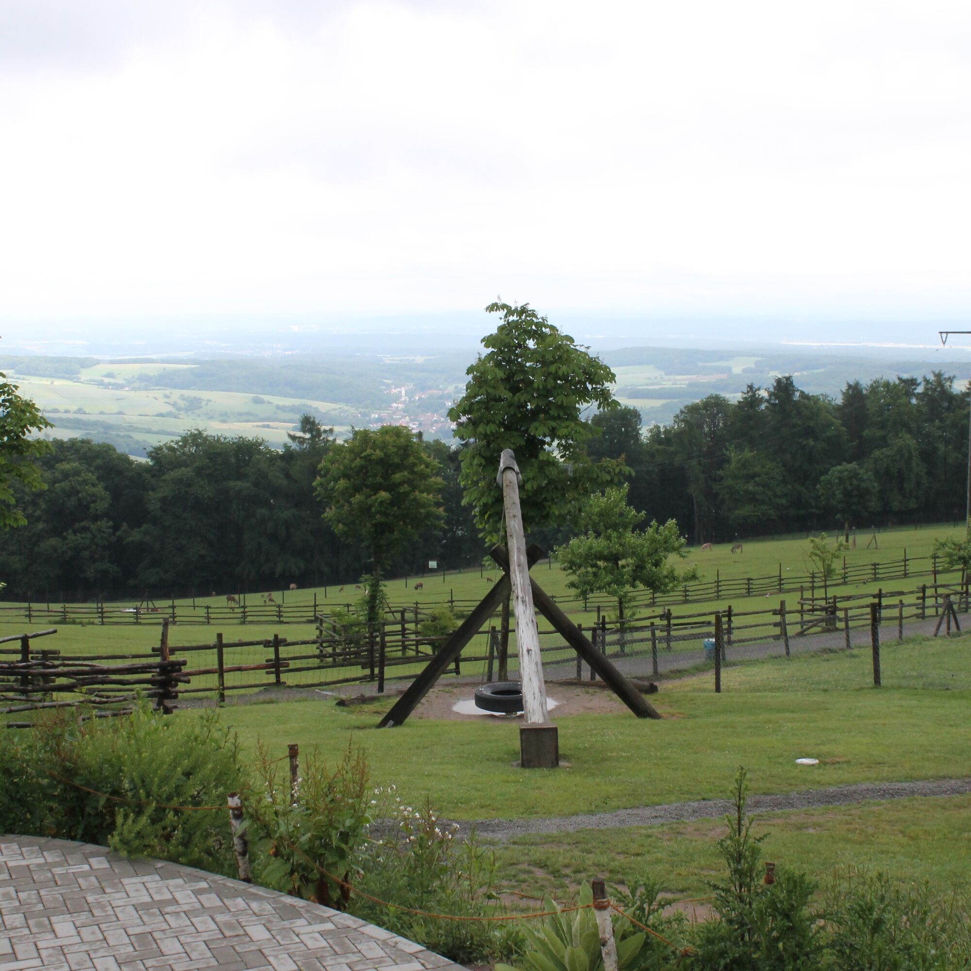
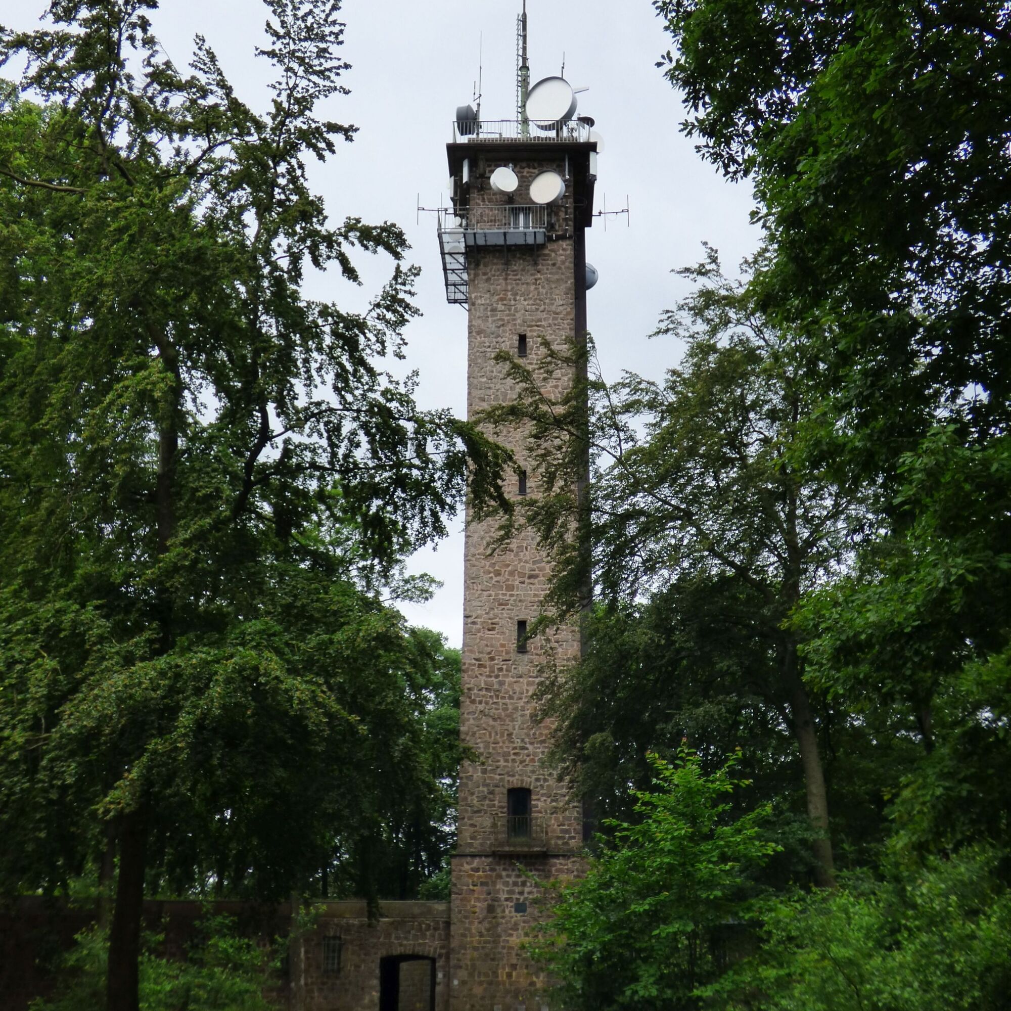
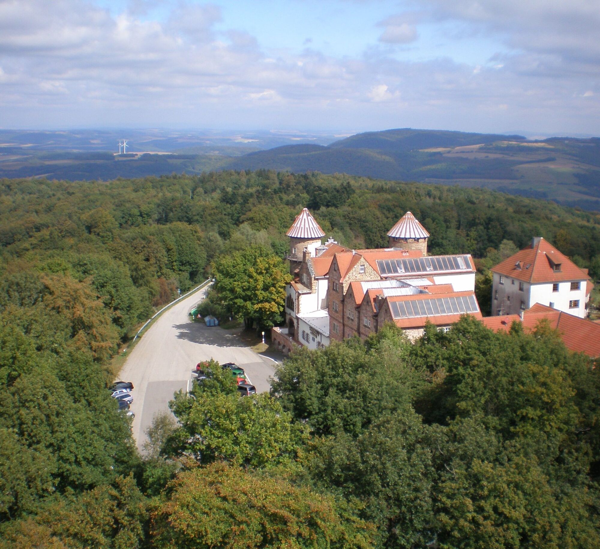
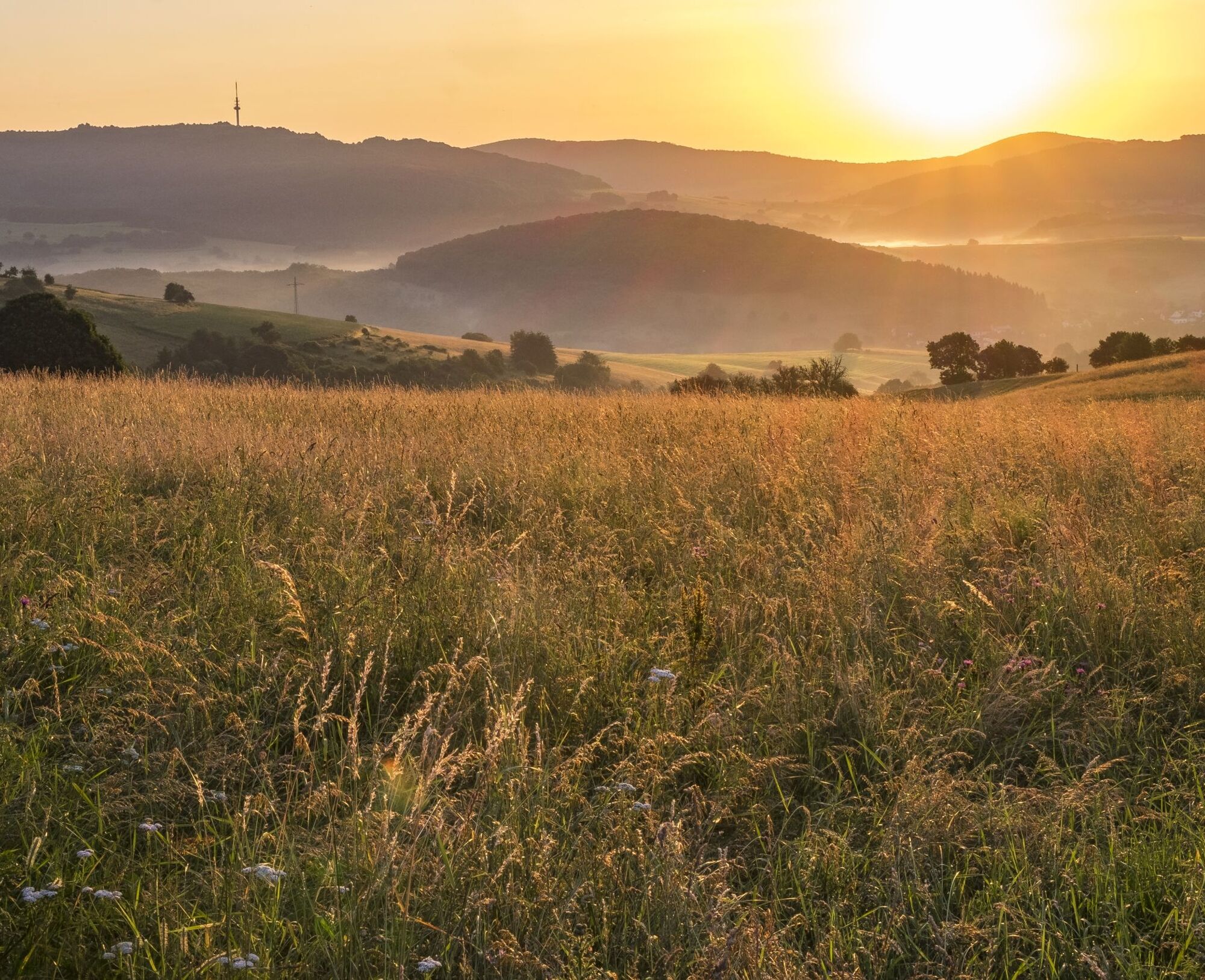
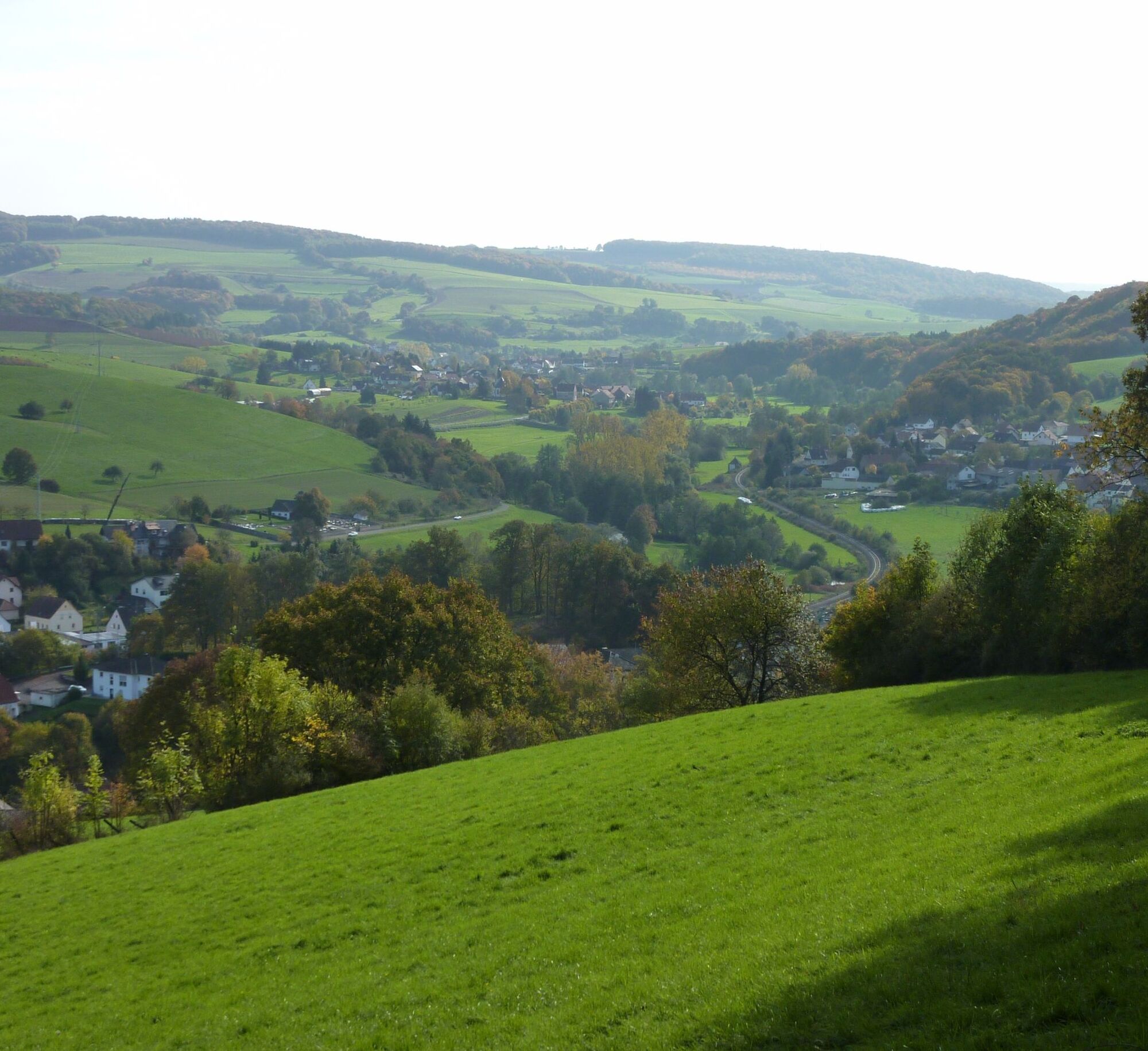
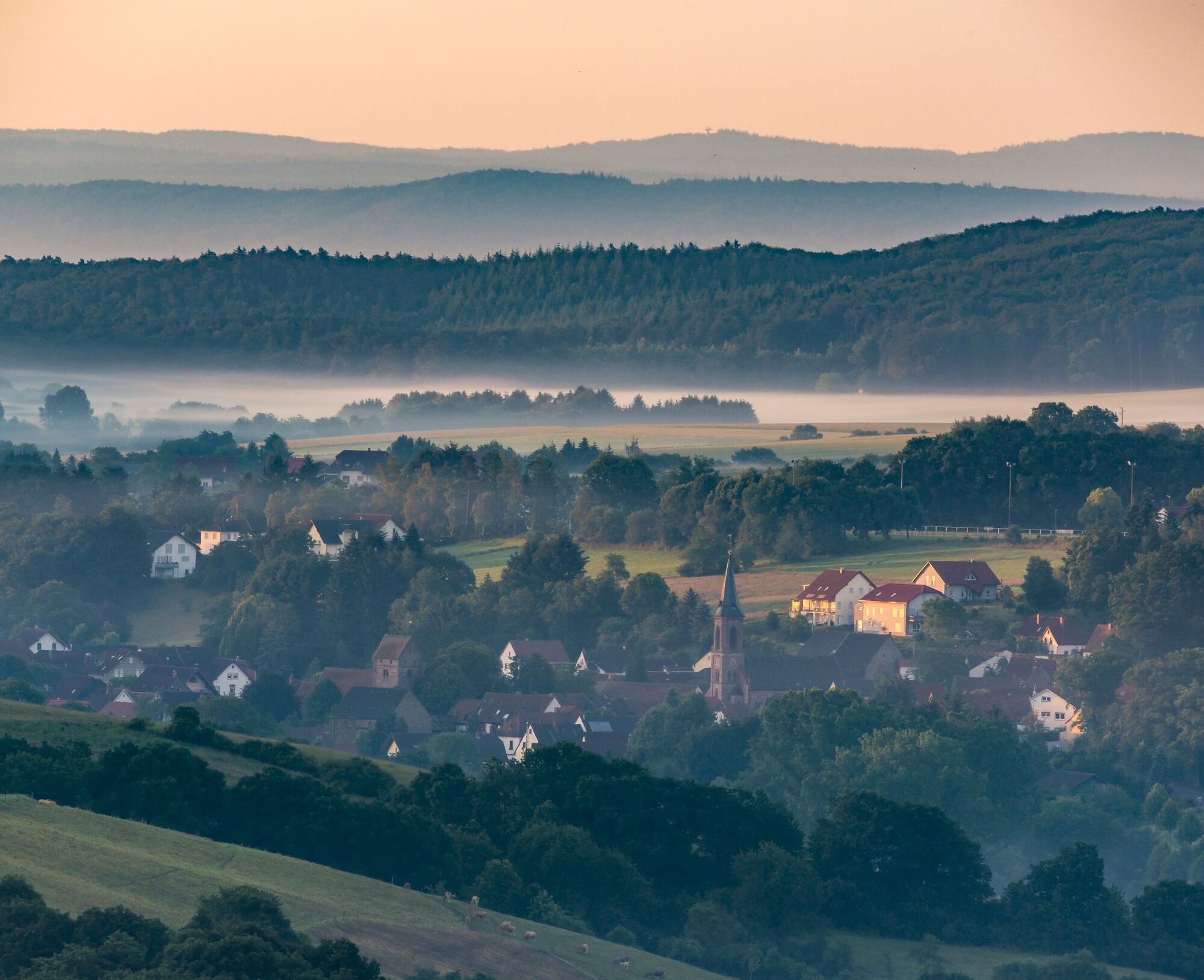
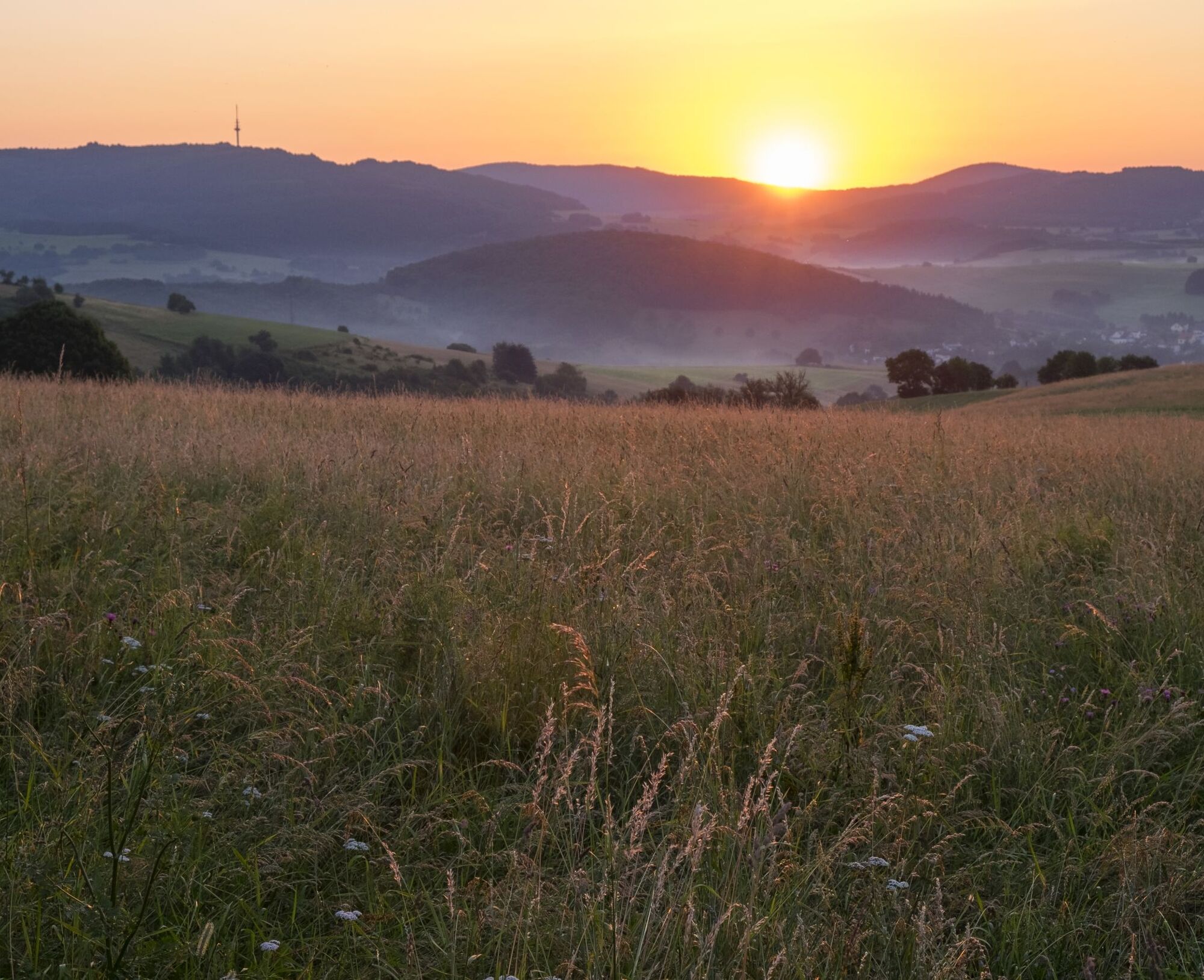
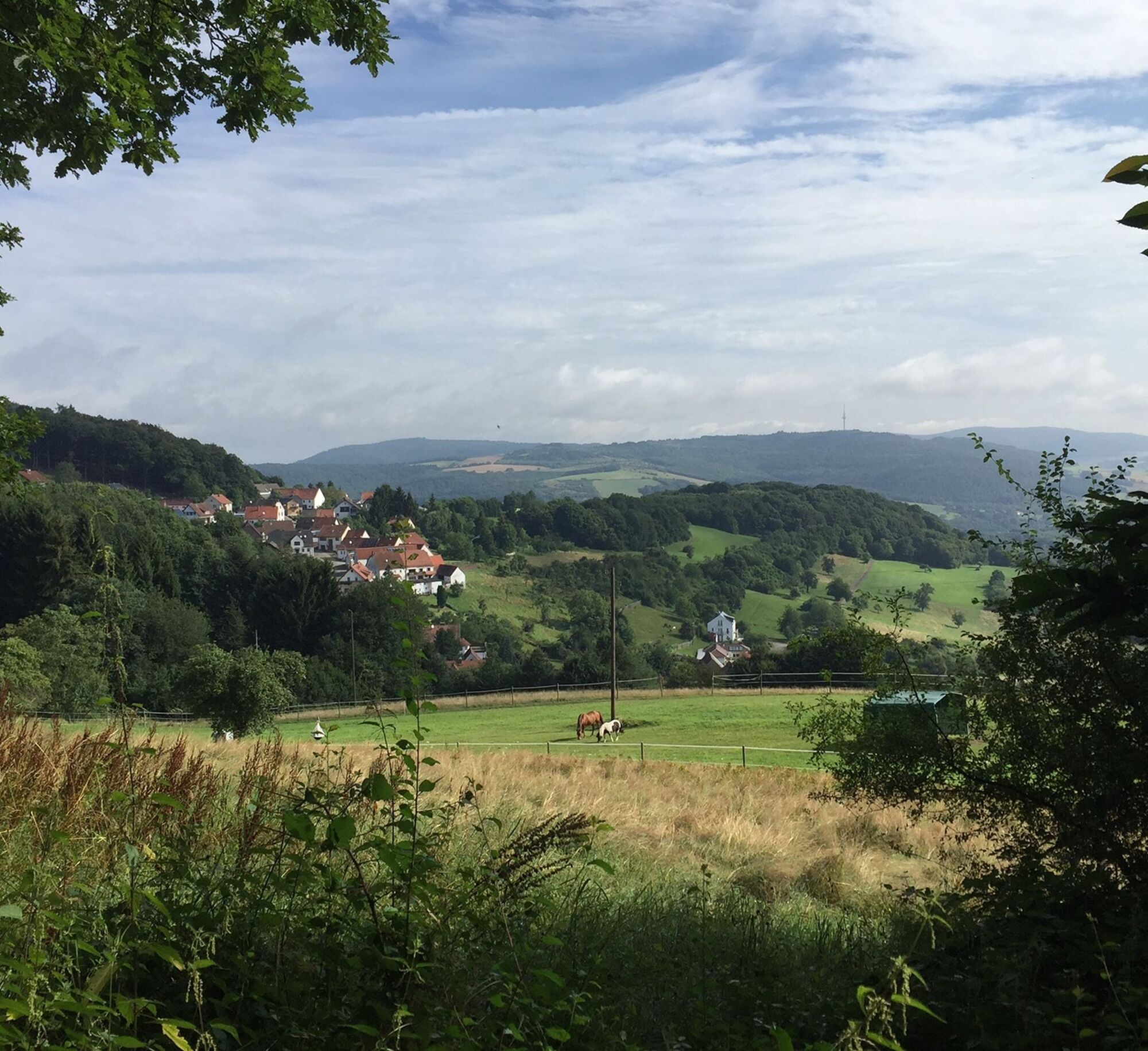
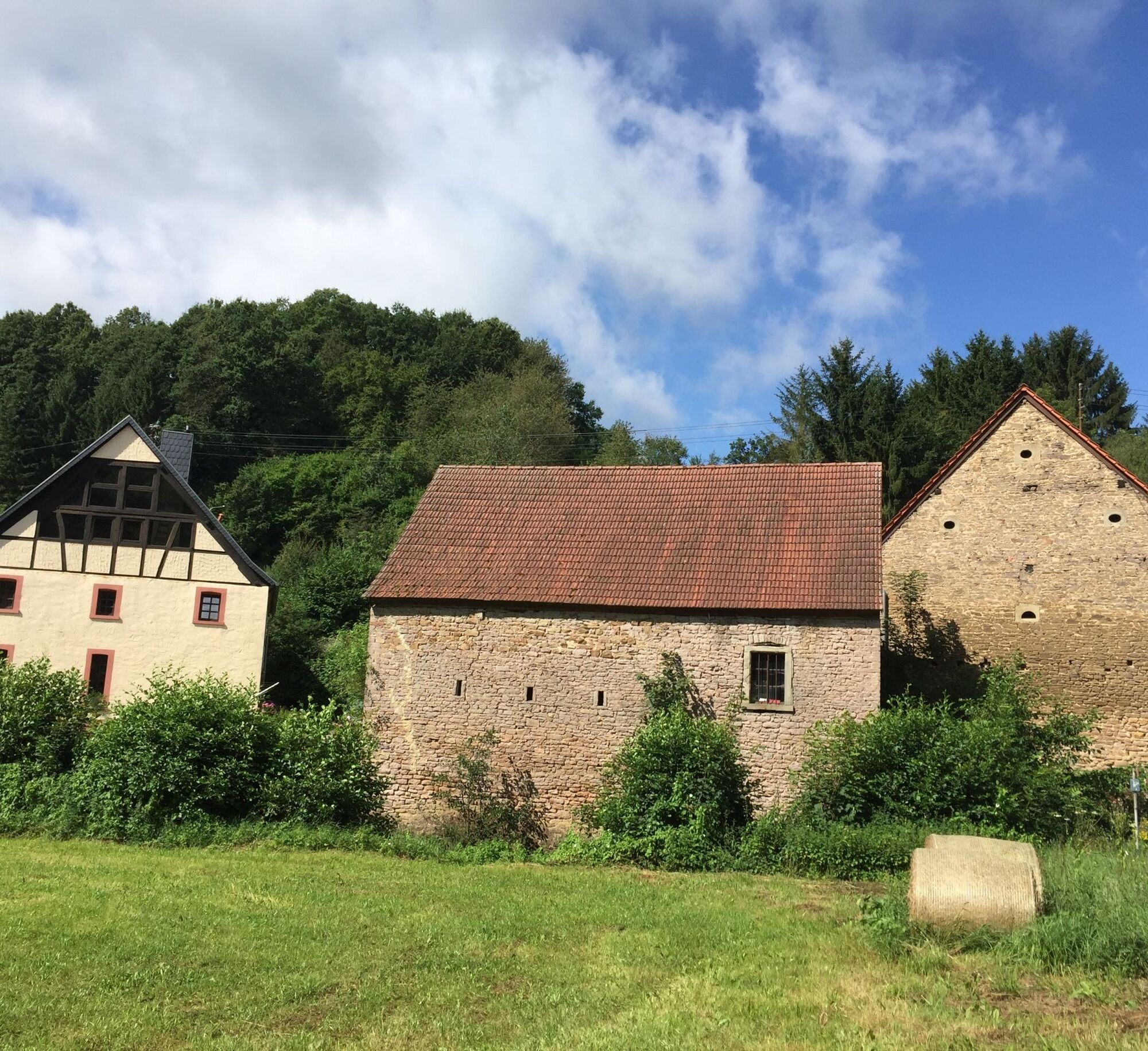
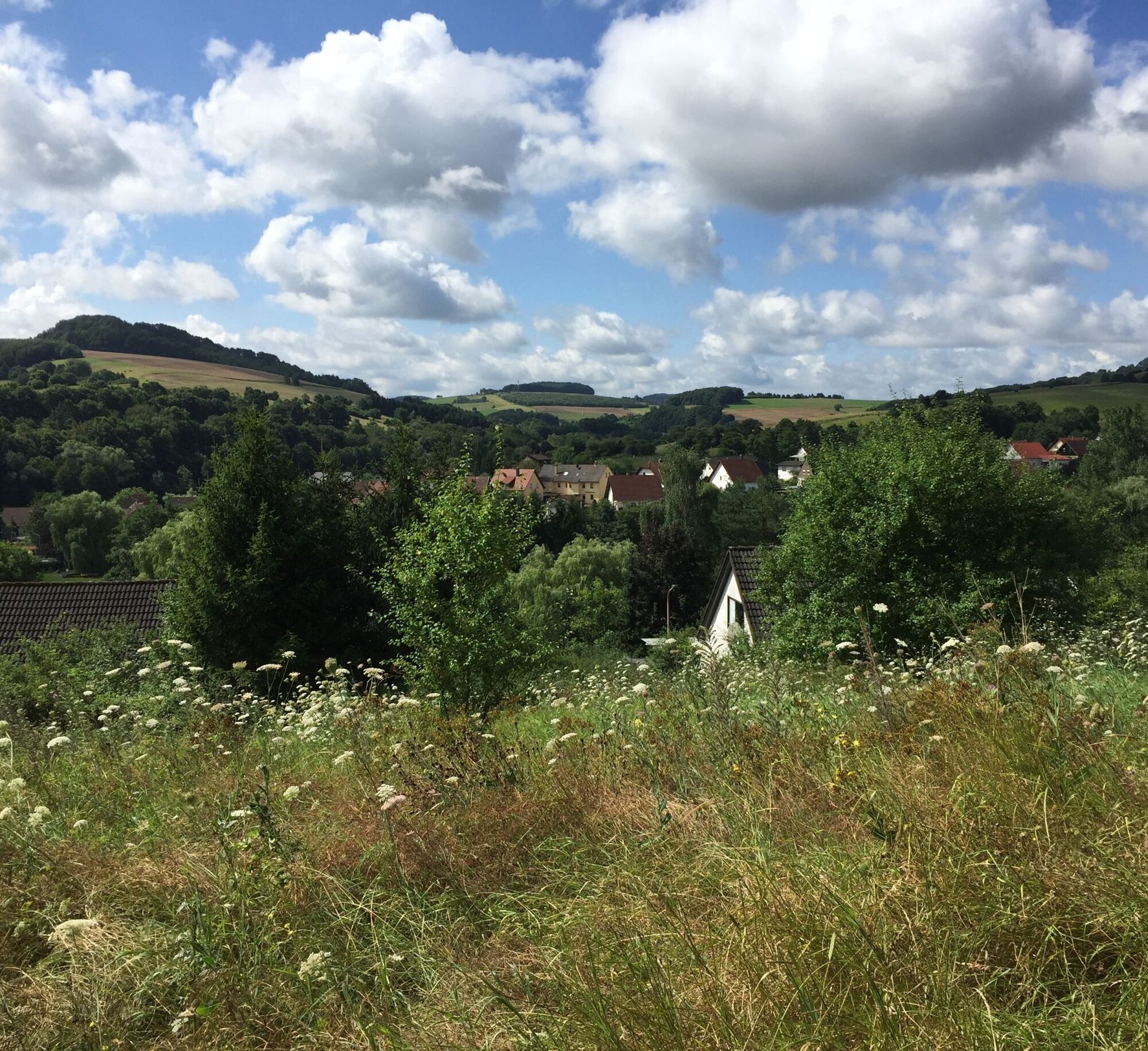
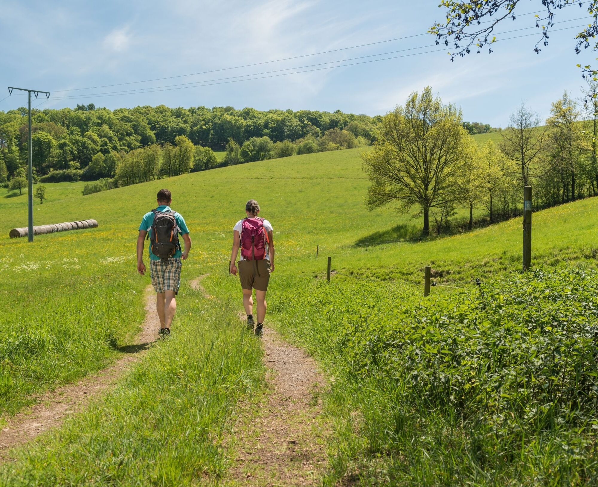
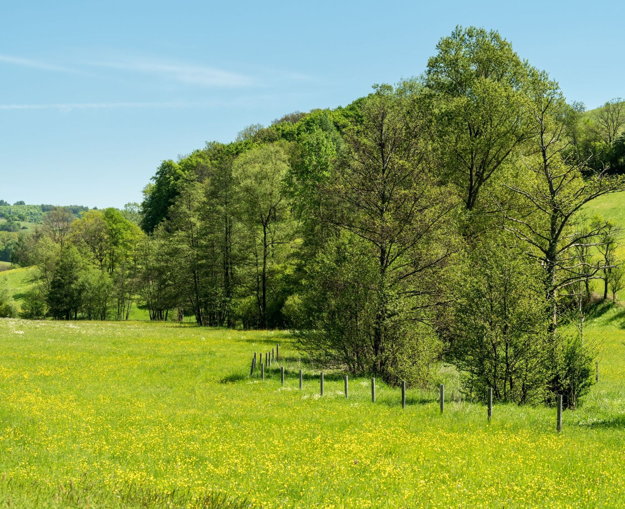
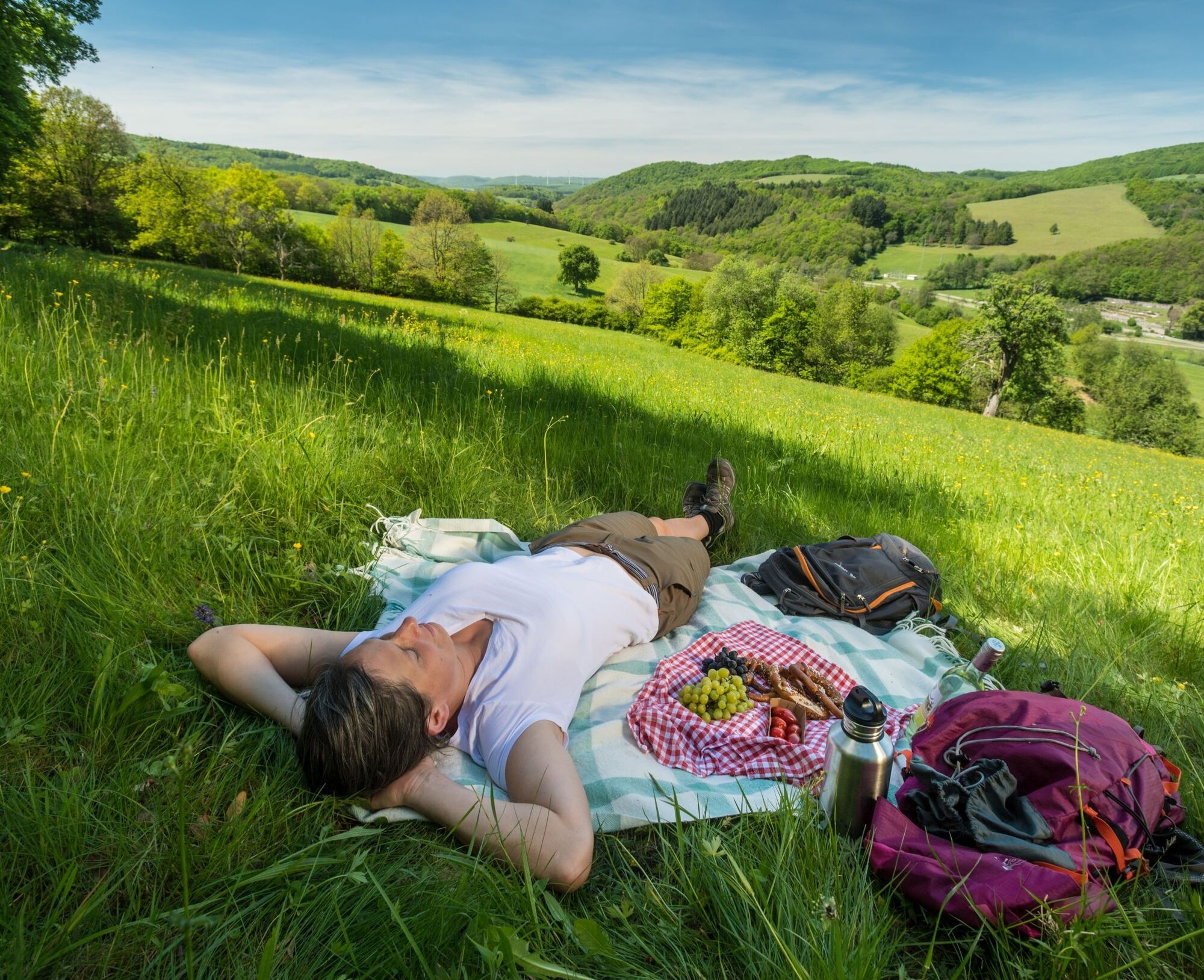
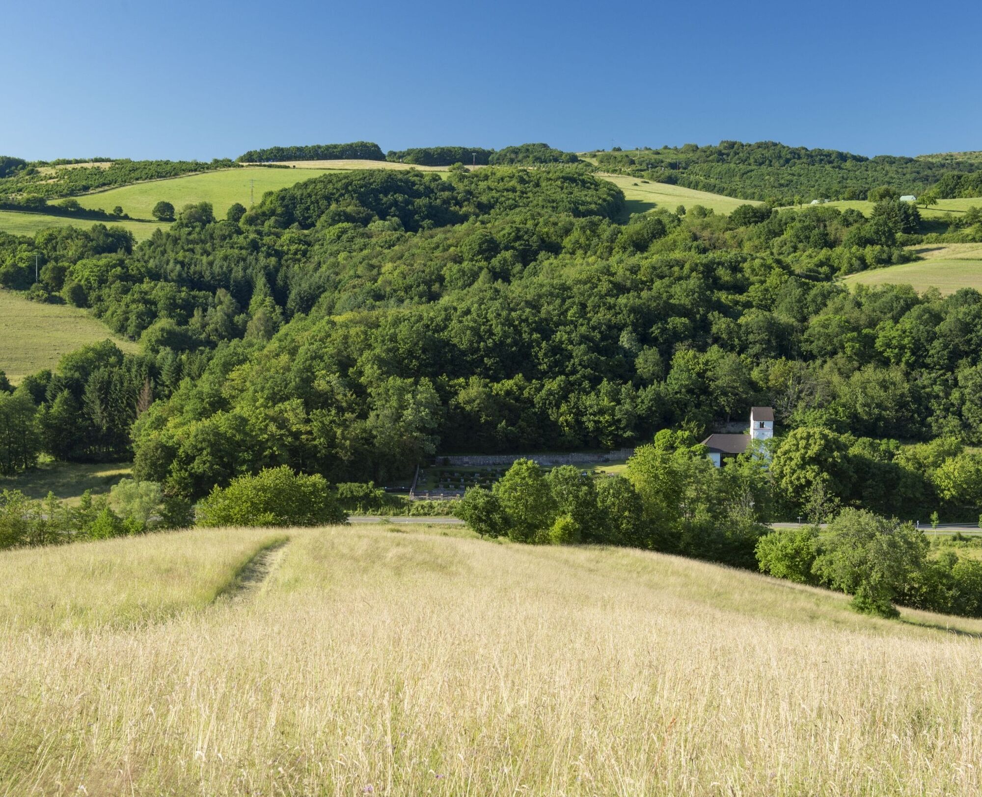
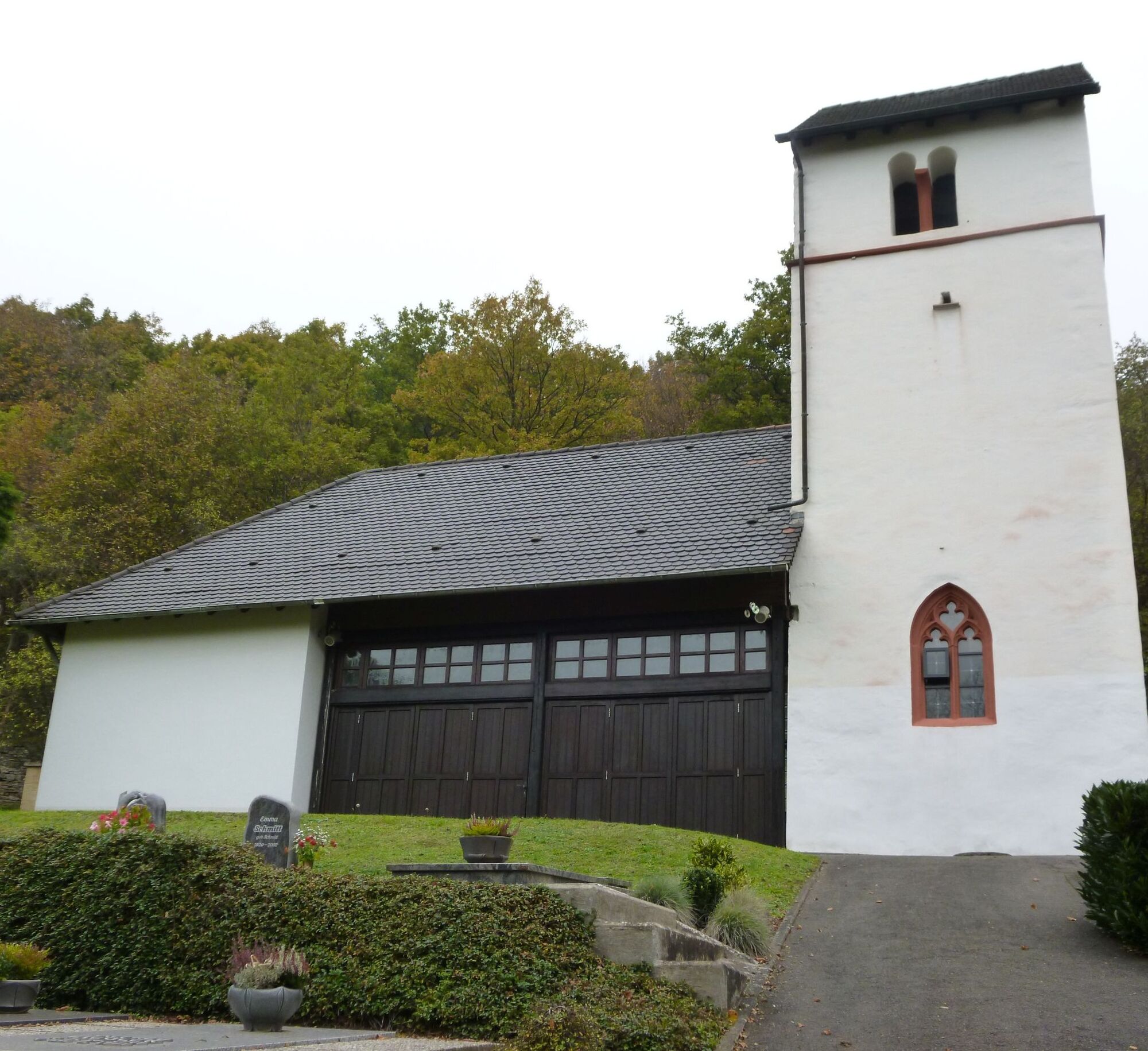
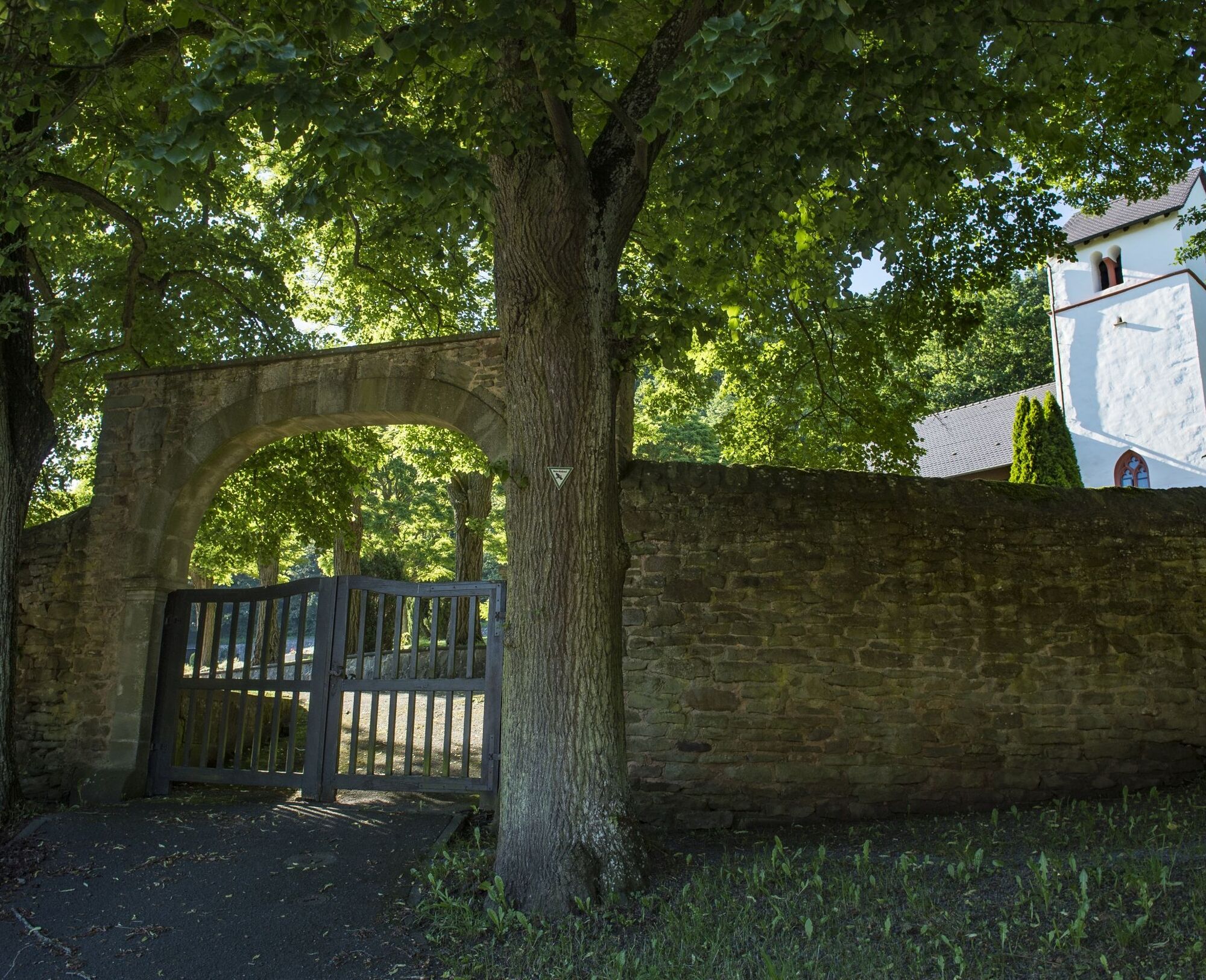
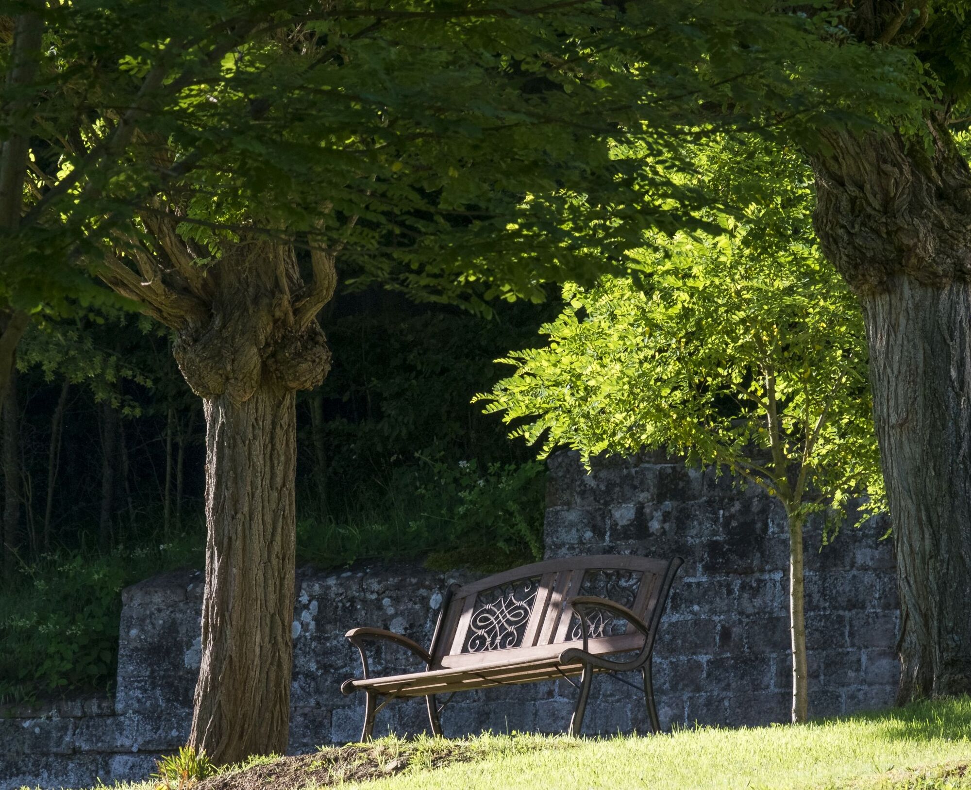
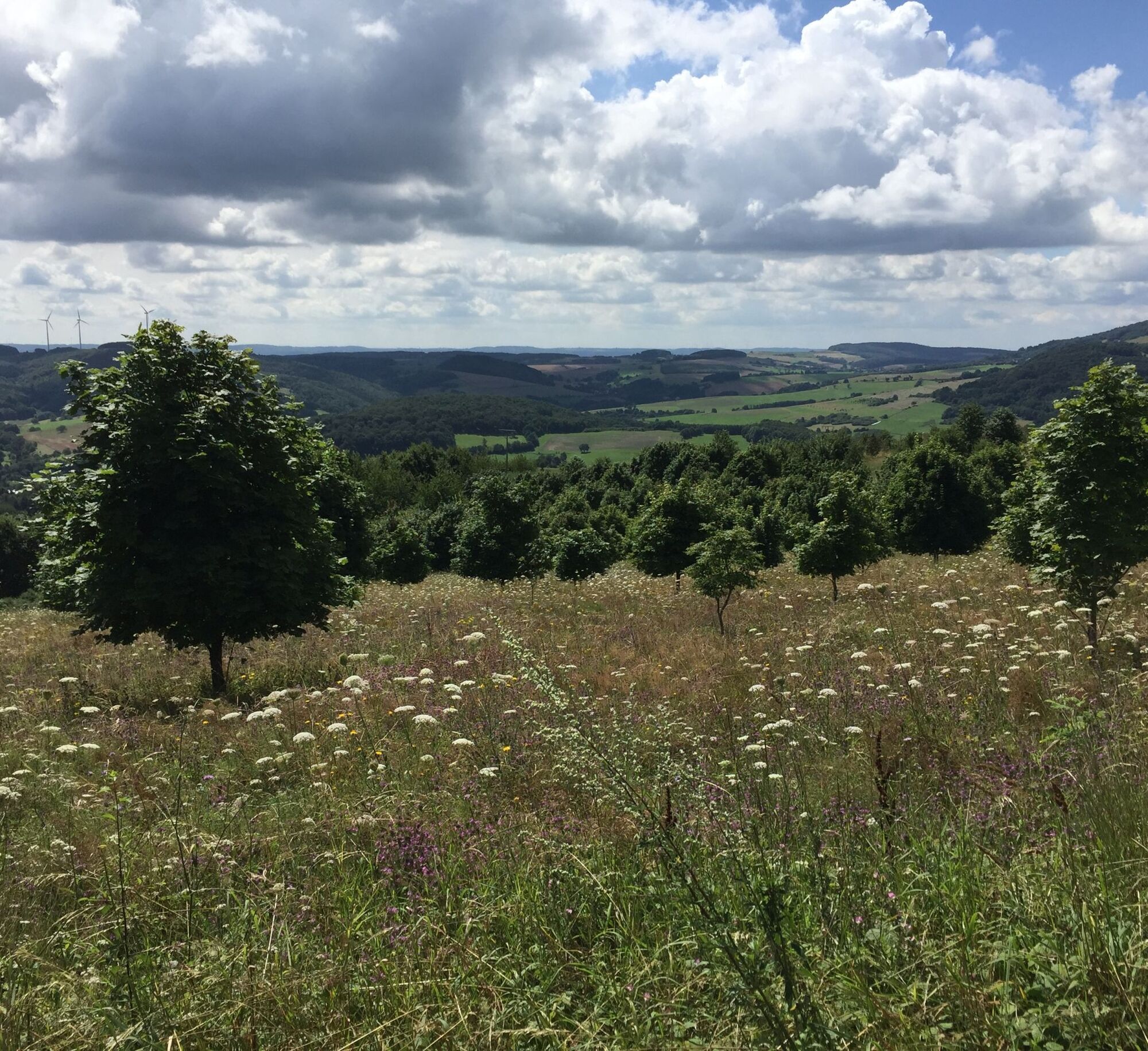
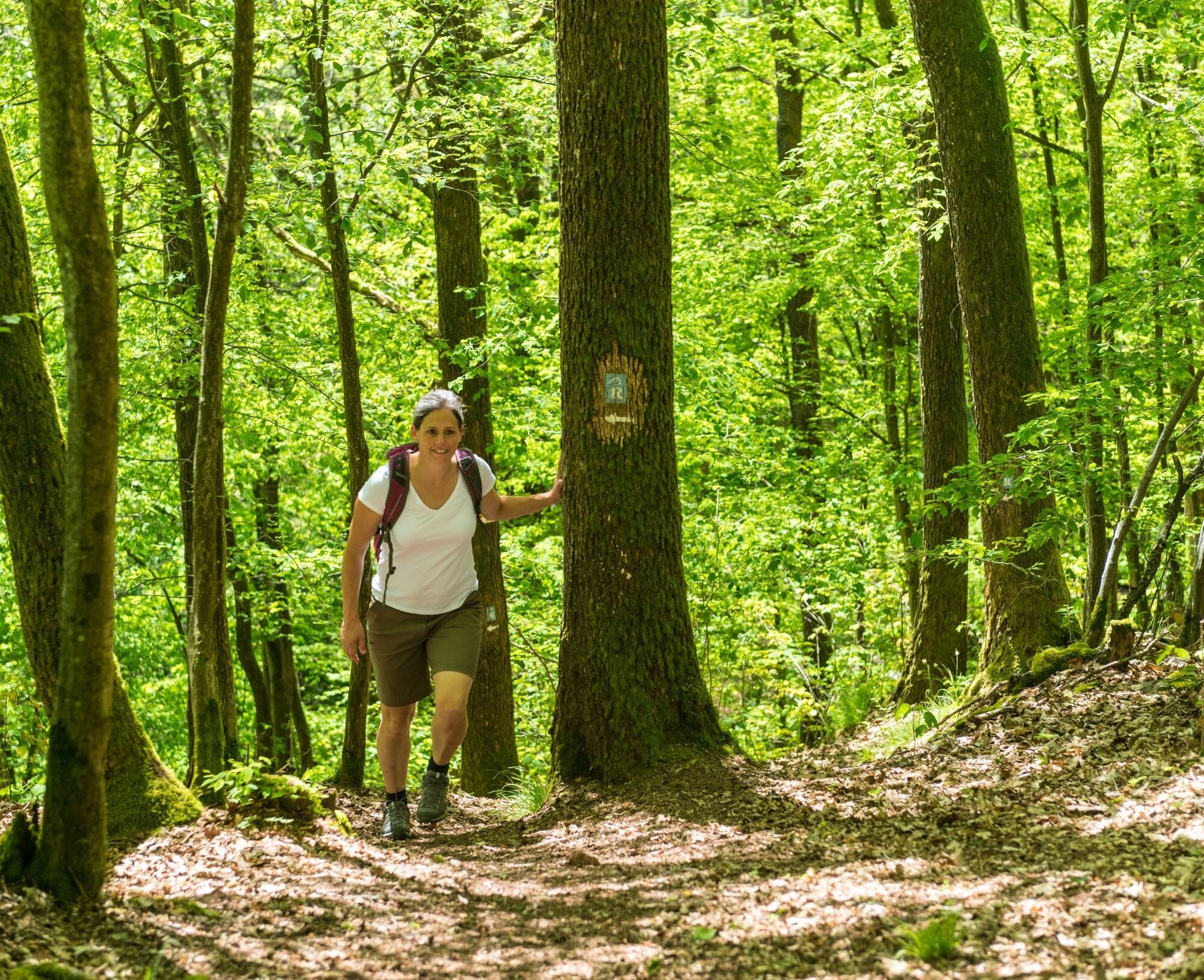
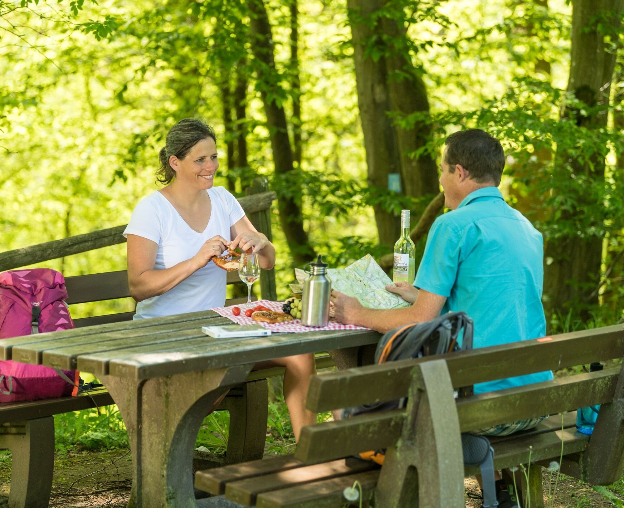
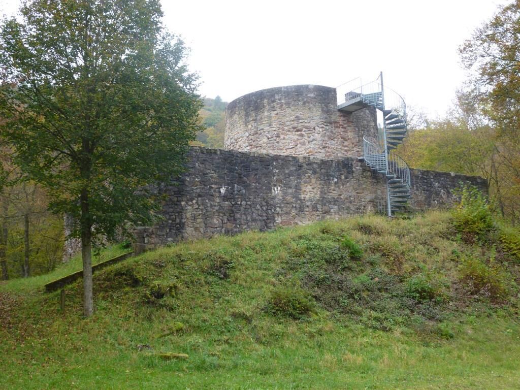
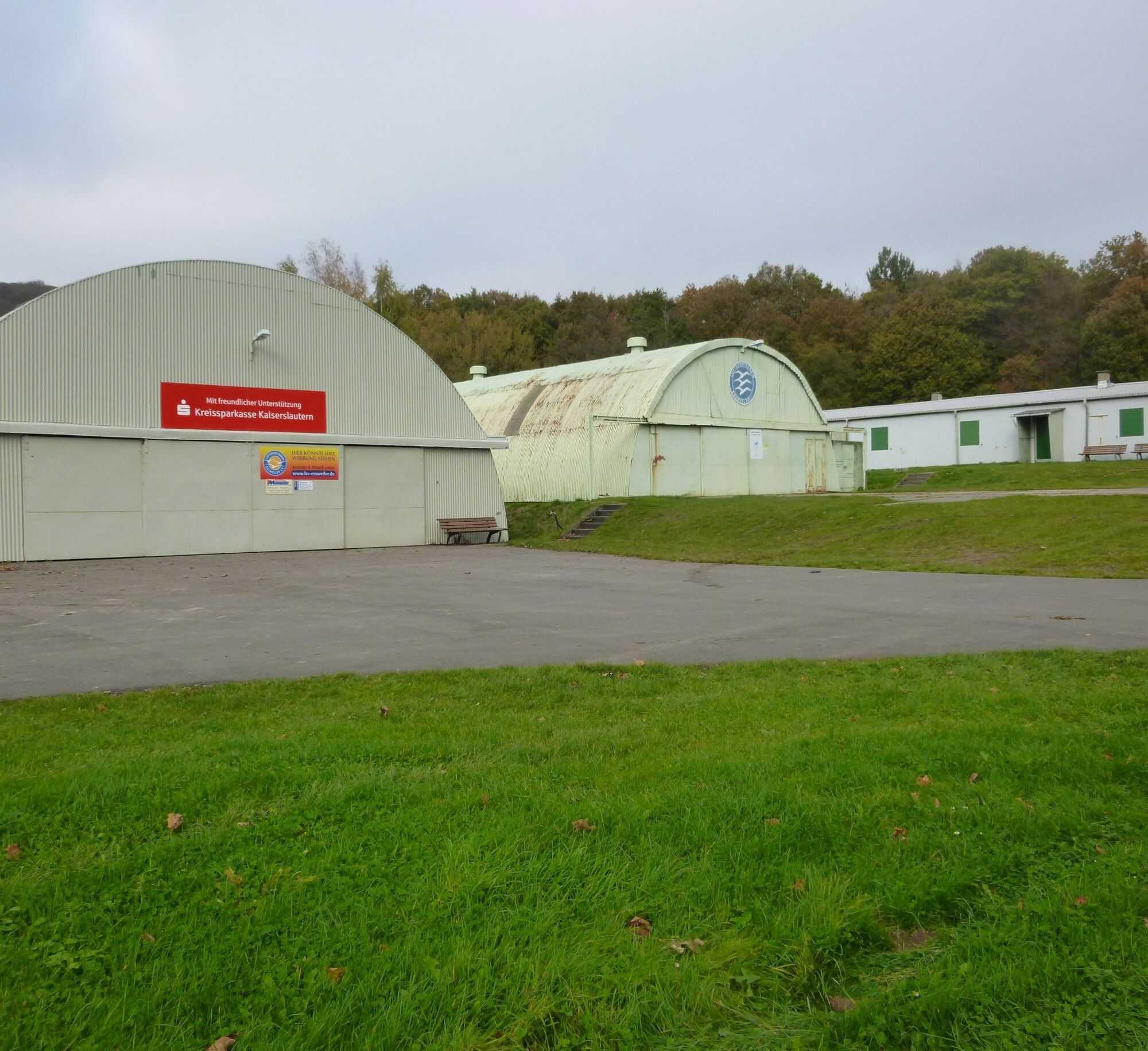

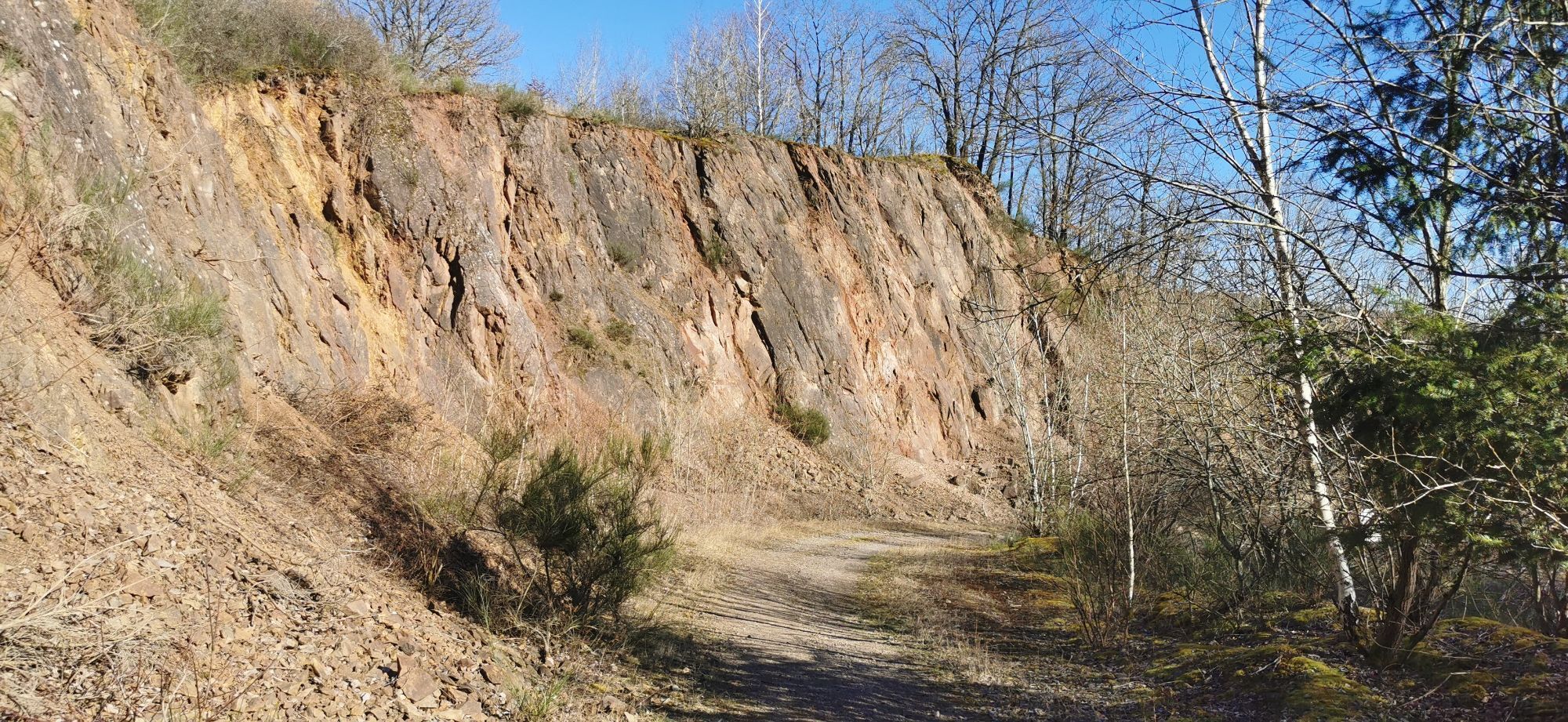
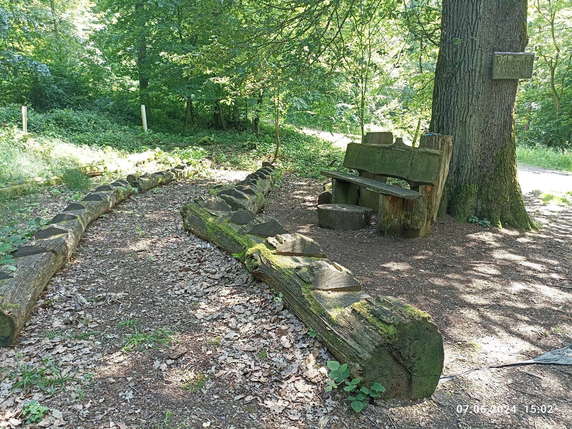
From the train station, the yellow-marked access path leads to the Remigius hiking trail to the so-called Winterhelle. There, the blue-marked hiking trail begins, which leads out of Kusel into the forest. Passing the Rübezahl bench and the mammoth trees, we reach the height in Haschbach and are rewarded with a view of the Remigiusberg with its provostry and on the other side the Lichtenberg Castle. We delve into the geological diversity of the region at the quarry (educational trail with many display boards) and climb the Potzberg in Theisbergstegen.
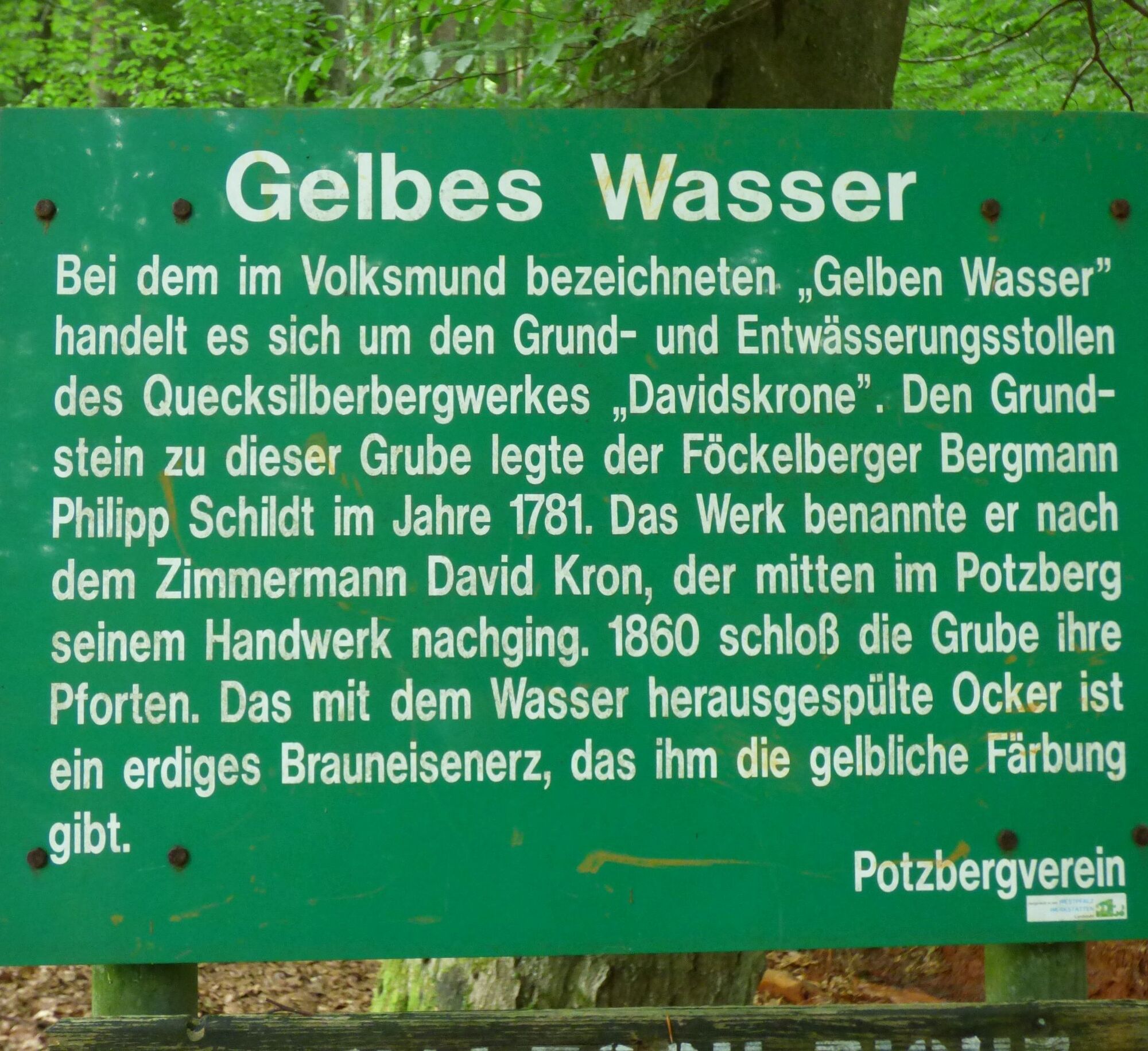
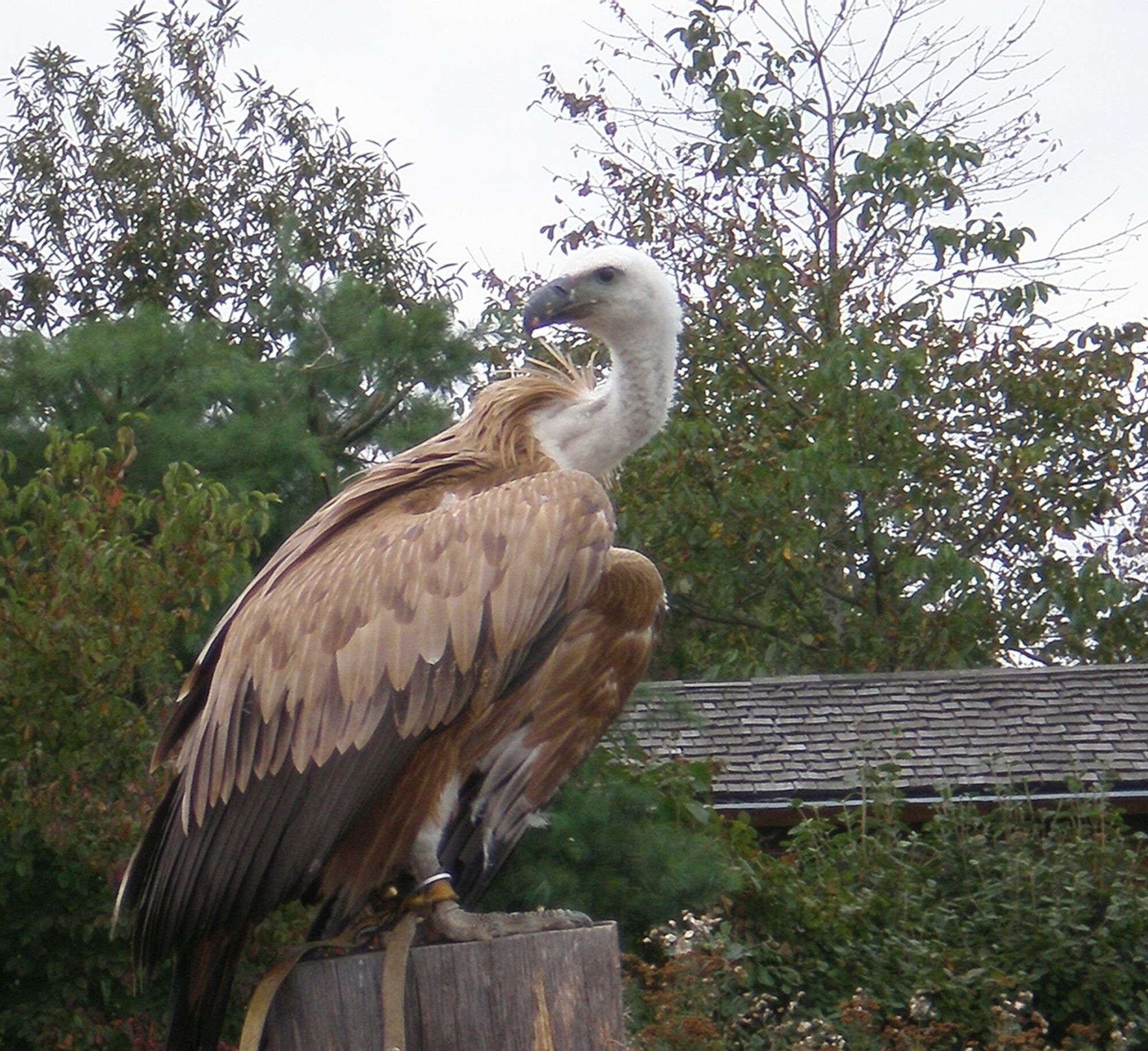
On the ascent to the Potzberg, we pass the Stollenquelle, an old spring from a former mercury mine that colors the path yellow. Once at the Potzberg, it is worthwhile to take a detour to the 562 m high observation tower or take a longer break at the Potzberg Wildlife Park with its unique flight show.
The route continues through Föckelberg downhill to Oberstaufenbach, and then in Niederstaufenbach, the next height is climbed. But once at the top, we are rewarded with a view of the Wolfskirche Bosenbach. Through the dense Bosenbach forest, we reach the heights of Eßweiler, which we leave to visit Sprengelburg at the roadside. Once more we pass through forests, meadows, and floodplains with wonderful panoramic views before arriving at the tower of Selberg.
Along the hiking trail, many benches and rest areas invite you to linger, and there are places to eat in many towns along the route.
Ano
For our hiking tours, we recommend the following equipment as standard:
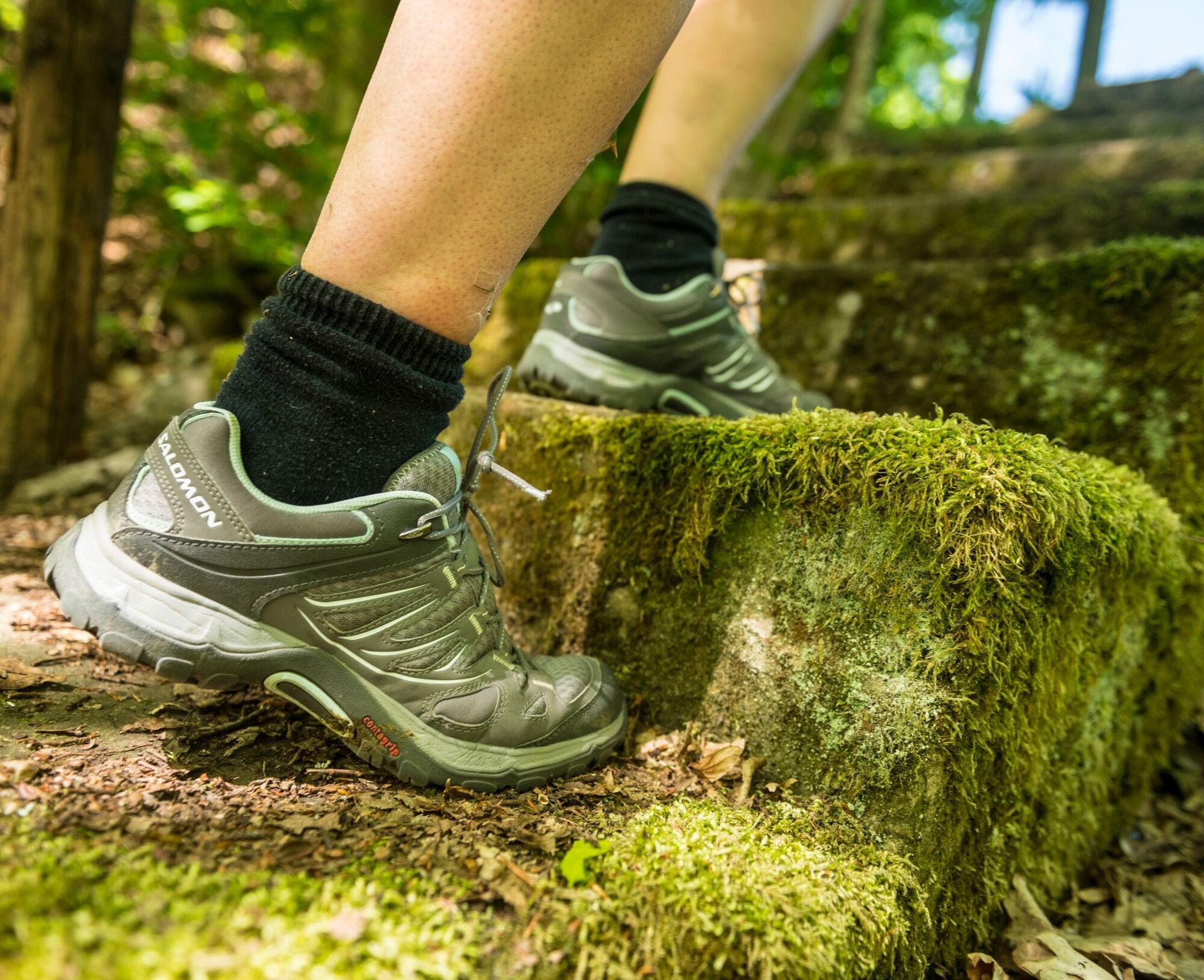
- sturdy footwear
- weather-appropriate clothing
- sun and rain protection
- sufficient supply of food and drinks, since there are not always places to eat or shop available or open everywhere.
- Although the paths are very well marked throughout, for safety reasons it is always advisable to carry a suitable
hiking map so that, for example, in the event of a thunderstorm or emergency, you can quickly find a safe area.
- Trekking poles recommended.
General information:
Especially in autumn, it should also be taken into account that fallen leaves on the ground can conceal unevenness, roots, stones, or holes in the path. After thunderstorms or heavy rainstorms, trees can still fall or branches break off afterward. Especially during adverse weather conditions, natural paths may have muddy and slippery sections. Not all rocks or cliffs are secured with ropes or railings. Surefootedness is required in some places. You must expect such path impairments when hiking. If you believe certain sections of the path are not passable for you, you should avoid them.
NOTE:
We strive to announce all closures caused by forest work or hunting societies on this platform. Nevertheless, there are situations where hiking trails are closed and we may not have been informed. If you unexpectedly encounter a trail closure or detour, please observe the notices for your own safety.
By train: From Kaiserslautern with the regional train to Kusel (boarding on the way also possible in Theisbergstegen)
By car: Via the A62 (Kusel junction) or the B420
Train connection in Kusel and Theisbergstegen, also to Wolfstein via the Palatinate Ridgeway
Call taxi 2973 (Tel.: (0621) 10 77 077 - pre-order at least 1 hour before desired departure)
Parking lots for starting points along the route available.
Kusel train station: Coordinates: 49° 32´ 16´´ N / 7° 24´ 37´´ E
Haschbach Cemetery: Coordinates: 49° 31´ 41´´ N / 7° 25´ 57´´ E
Theisbergstegen train station: Coordinates: 49° 31´ 7´´ N / 7° 26´ 54´´ E
Potzberg Wildlife Park: Coordinates: 49° 31´ 22´´ N / 7° 28´ 51´´ E (also motorhome parking spots)
Wolfskirche (near Bosenbach): Coordinates: 49° 32´ 30´´ N / 7° 30´ 59´´ E
Sports field Bosenbach: Coordinates: 49° 32´ 53´´ N / 7° 31´ 26´´ E
Kneipp basin Eßweiler: Coordinates: 49° 33´ 18´´ N / 7° 33´ 22´´ E (also motorhome parking spots)
Village center parking lot Eßweiler: Coordinates: 49° 33´ 32´´ N / 7° 33´ 53´´ E
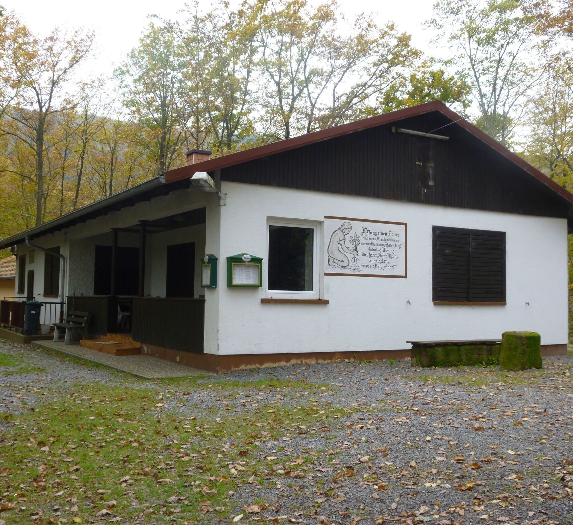
Landscheid hut: Coordinates: 49° 33´ 51´´ N / 7° 33´ 36´´ E
Municipal Association Kusel-Altenglan (Tourism)
Marktplatz 1, 66869 Kusel
Tel.: 06381 / 6080123
Internet: https://vg-kusel-altenglan.de/vg/tourismus/
Email: Tourismus@vgka.de
Municipal Association Lauterecken-Wolfstein (Tourism)
School Street 6a, 67742 Lauterecken
Tel.: 06382 / 7910
https://www.vg-lw.de/freizeit-tourismus/
Email: info@vg-lw.de
The Potzberg tower is closed until further notice due to construction work!
Arrange return transport in advance.
The slopes are easier to manage with poles.
Route tour for beginners (stages) and experienced hikers (day tour).
Arrange return transport in advance.
Získejte přehled
Vždy živě na místě s více než 9 500 webkamerami. bergfex Jako uživatel Pro si nyní můžete zobrazit odpovídající webové kamery pro mnoho prohlídek v aplikaci prohlídky z. Můžete si tak přímo prohlédnout aktuální podmínky.
Oblíbené prohlídky v okolí
-
4.5
Fritz-Wunderlich Cycle Path
středníJízda na kole 26.1 km -
Teufelstour - Olsbrücken
heavyTuristika 15.1 km -
5.0
Traumschleife Bärenbachpfad (Dream Loop Bear Creek Trail Baumholder)
středníTuristika 15.2 km -
5.0
Börsborn - Muhleichenweg
středníTuristika 11.3 km -
5.0
Glan-Blies cycle path | Waldmohr - Staudernheim
středníCyklistika na velkou vzdálenost 74.9 km -
Kusel - Preußensteig
heavyTuristika 25.6 km -
Katzweiler - mill circular hiking trail
světloTuristika 13.1 km -
Wolfstein - summit trail to Königsberg
heavyTematická stezka 8.11 km -
Lauter Valley cycle path
světloJízda na kole 36.1 km -
5.0
Potzberg Hiking Trail
středníTuristika 14.7 km
Pěší turistika a stopování


Nenechte si ujít nabídky a inspiraci pro vaši příští dovolenou
Vaše e-mailová adresa byl přidán do poštovního seznamu.





