


Kandel - Bienwald-Brunnenweg
Úroveň obtížnosti: T1
This large loop takes you into the depths of the Bienwald to the Gutenbrunnen and the nearby Heilbrunnen. Both wells are sulfur springs said to have healing effects.
A tranquil spot is the Lourdes Grotto,...
This large loop takes you into the depths of the Bienwald to the Gutenbrunnen and the nearby Heilbrunnen. Both wells are sulfur springs said to have healing effects.
A tranquil spot is the Lourdes Grotto, located directly at the Heilbrunnen. Further along the path, near the way, is a stone monument shaped like a pyramid, built in honor of King Ludwig.
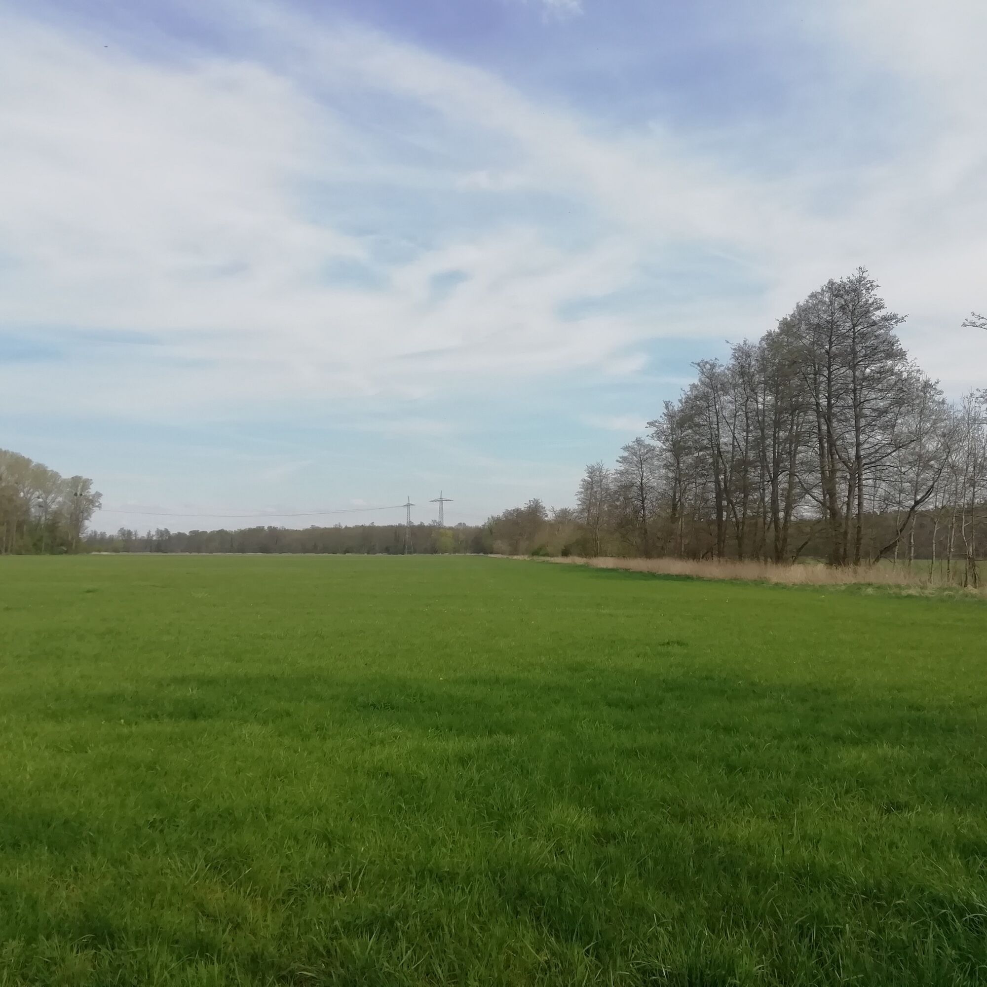
A straight path leads over the Eisklötzelallee, past the Candidus memorial. A winding trail follows, and soon you leave the Bienwald and walk through fields and meadows towards Minfeld and Kandel, returning to the start point, Naturfreundehaus Kandel.
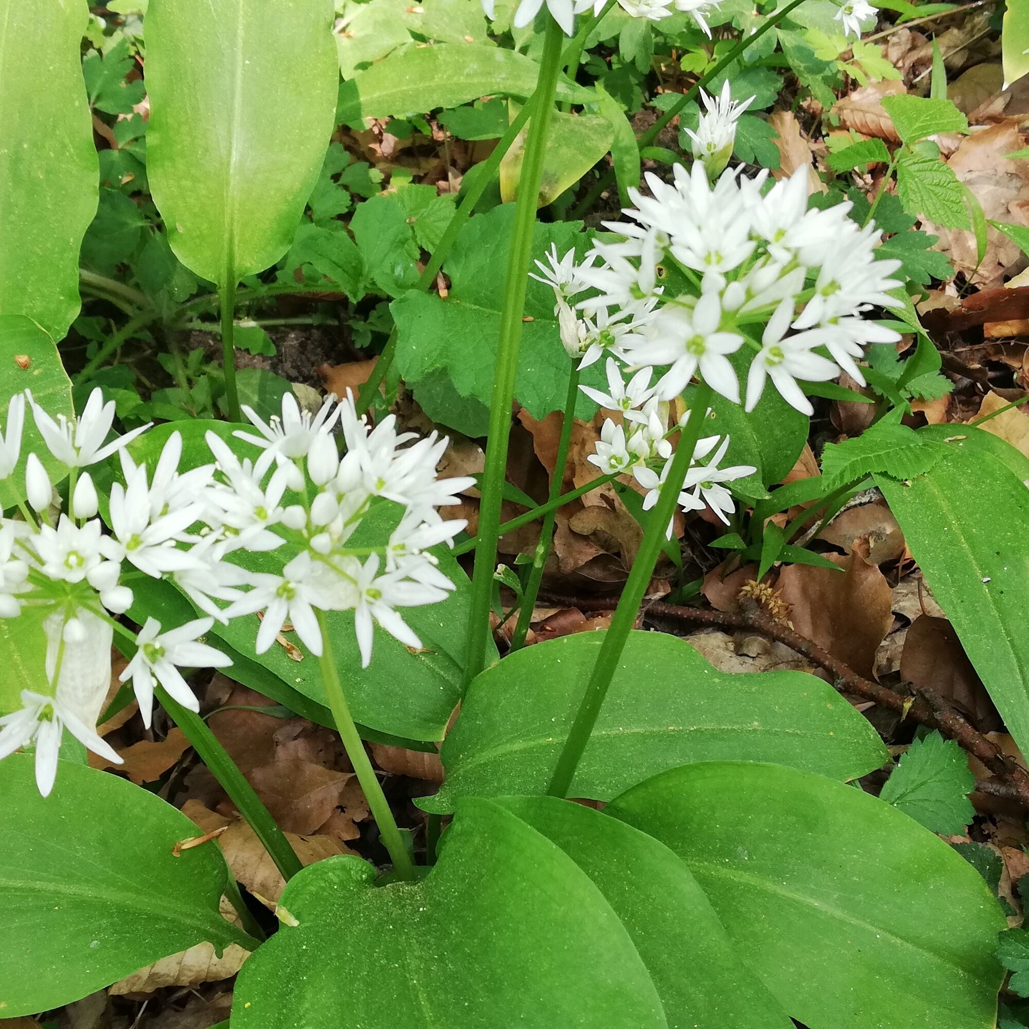
The path is especially beautiful to walk in May when countless lily of the valley blossom along the way and the forest develops its delicate green. Enjoy the diverse song of numerous bird species that call the Bienwald their home, especially at this time of year.
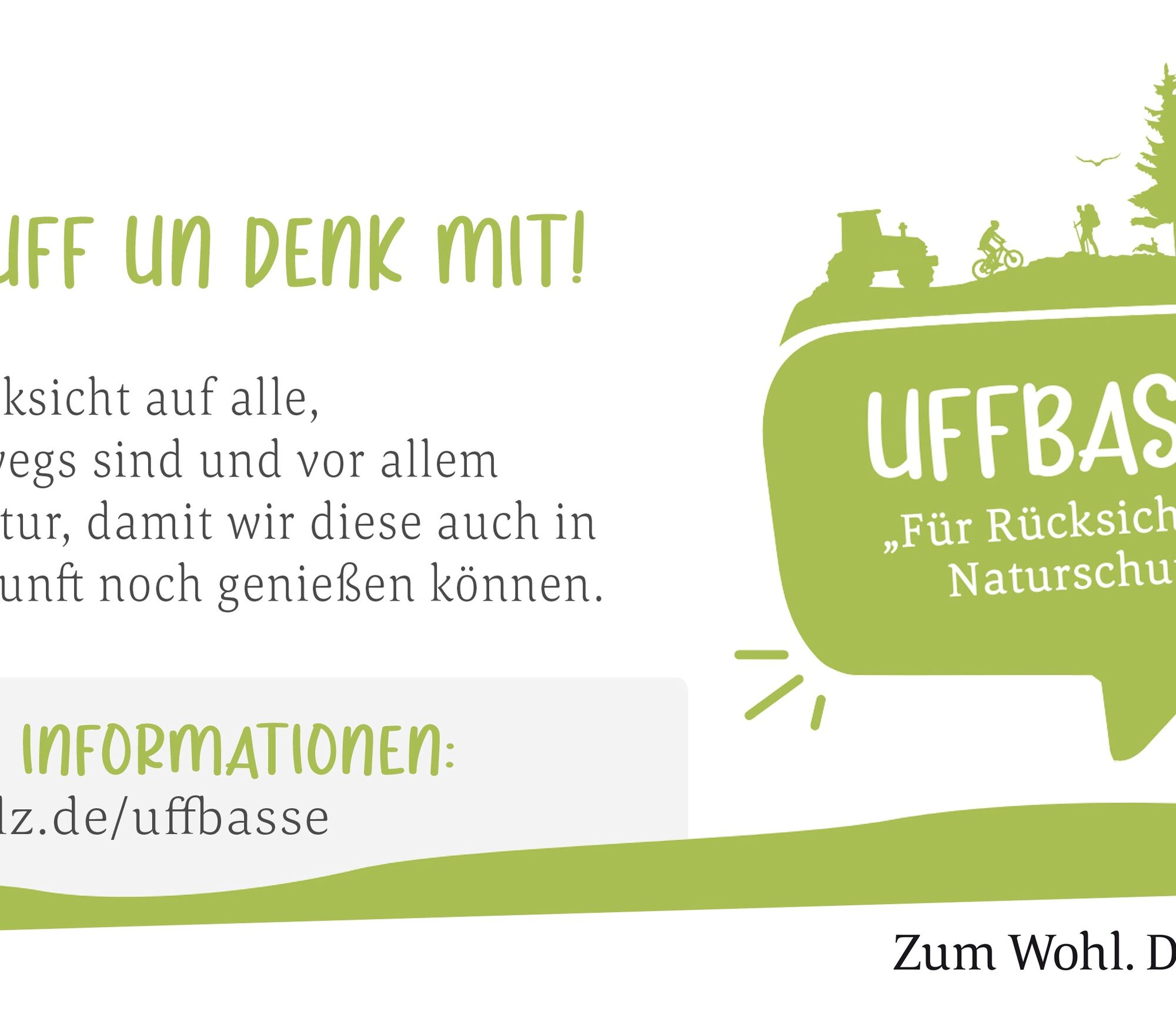
UFFBASSE! - Campaign for respectful coexistence in nature:
Fire & Smoking - Making fire, smoking, and grilling in the forest are strictly forbidden! This is absolutely necessary to prevent fires and major damage to nature and wildlife. Be considerate - Always behave considerately, friendly, and respectfully towards everyone you meet, especially on service roads where vintners, farmers, and foresters also work on weekends. Picnic & Trash - Take a trash bag with you and take your waste home. Use only the furnished rest areas for breaks and picnics. Nature conservation - Stay on designated paths and avoid unnecessary noise in nature. Leave the forest by dusk at the latest to avoid disturbing nocturnal animals. Dogs on leash – Always keep your dog on a leash. Other visitors and animals will thank you.More information at www.pfalz.de/uffbasse.

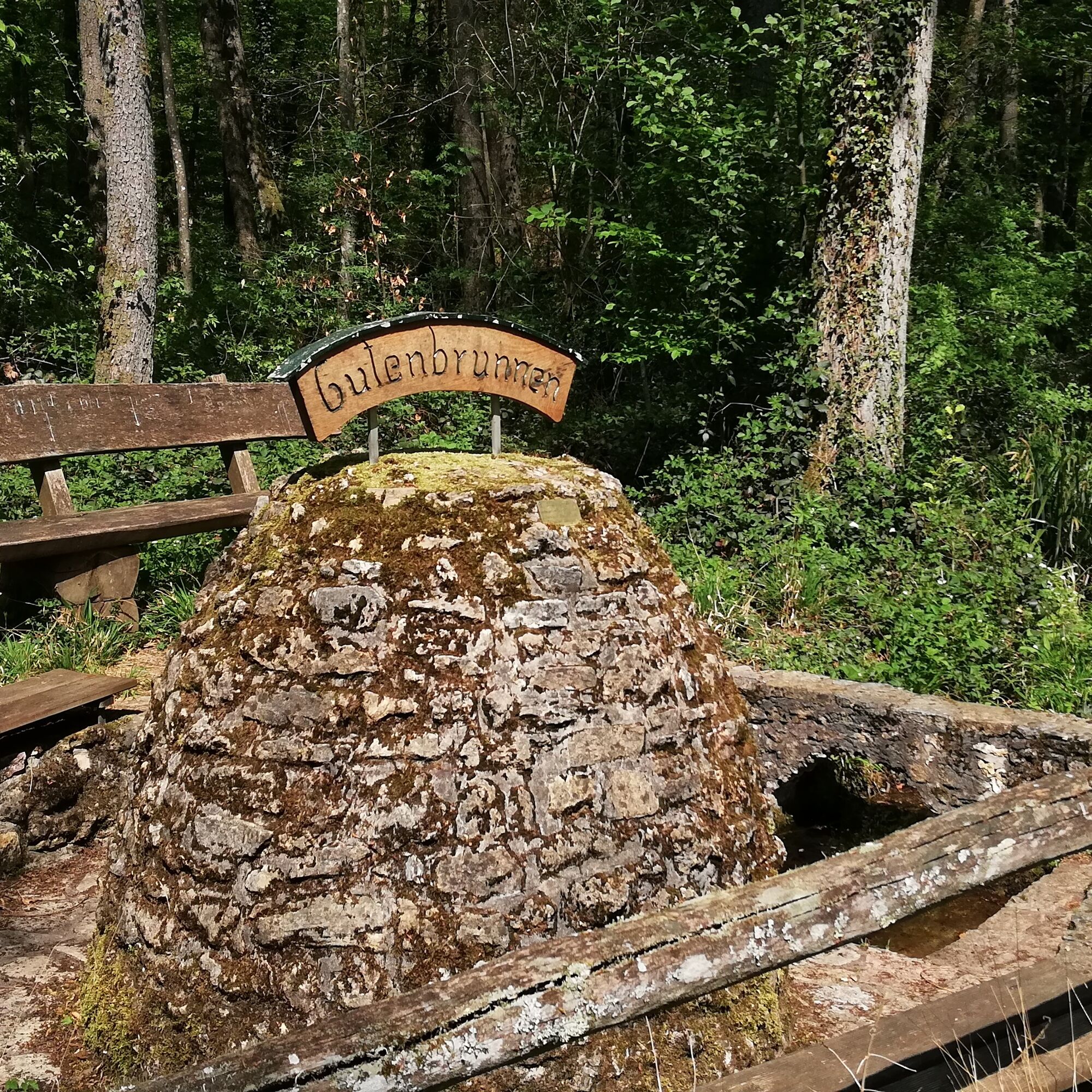
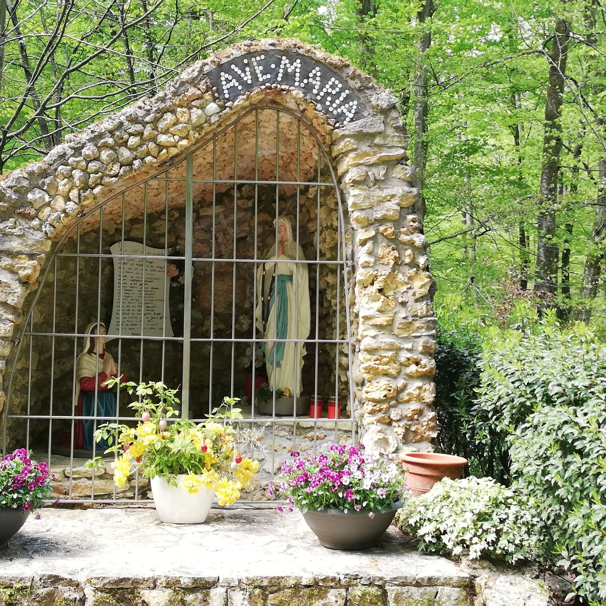
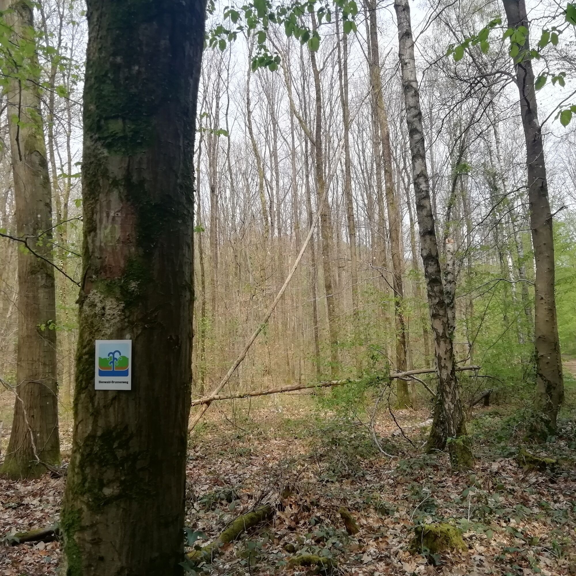
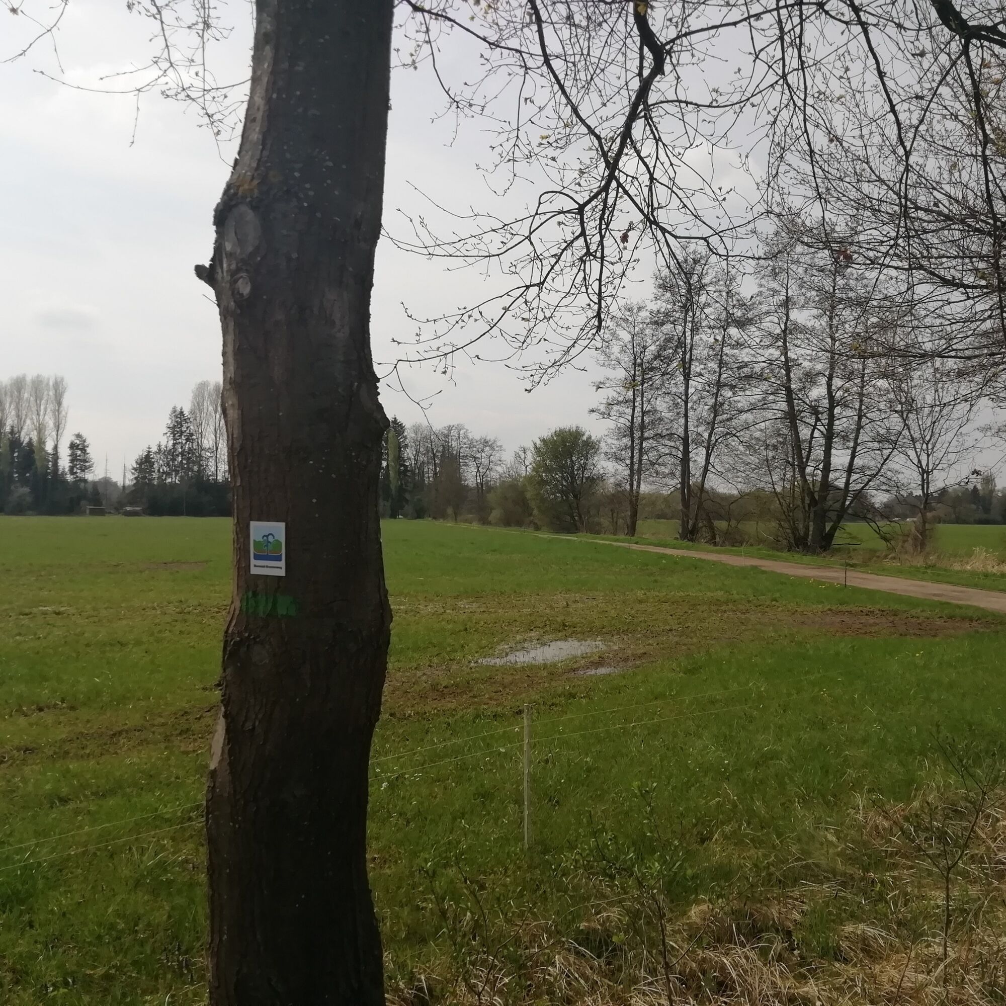
The route is signposted with the Brunnenweg logo (symbolizing an artesian well). From the Naturfreundehaus, we follow this symbol initially towards the Bienwald Ruheforst, but stay straight on the paved road following the trail logo. Then we cross the Otterbach and a few meters later follow the trail marking turning left. After some time following the path straight ahead, the route turns right. We will pass by Langenberg. Continuing to follow the trail marking, we reach the Gutenbrunnen, the Heilbrunnen, and can pause at the Lourdes Grotto. From here, we turn right, turn into Eisklötzelallee, and then head north again (passing the Candidus memorial), always following the trail marking. When we reach Mordallee, we turn left, then after a few meters, turn right again. Now the marking leads us through forest, meadows, and fields to the edge of Minfeld. There we turn right and continue following the Brunnen logo to the edge of Kandel. Here the path leads a few meters along the first houses of Kandel before soon turning right towards the Naturfreundehaus.
Since the Bienwald-Brunnenweg is signposted in both directions, you can of course also walk it in reverse, i.e., starting towards Kandel first, whichever you prefer.
If arriving by train, follow the signage "Bienwaldbrunnenweg" from Kandel station.
For our hiking tours, we recommend the following standard equipment:
- sturdy footwear
- weather-appropriate clothing
- sun and rain protection
- sufficient supply of food and drinks, as there are not always places to eat or shop available and open
- Although the paths are very well marked throughout, it is advisable for safety reasons to always carry a suitable hiking map so you can quickly find a safe area in case of thunderstorms or emergencies.
We also recommend mosquito protection in the Bienwald, especially in the warmer months.
NOTE: The path section between Kandel and Minfeld was renovated in 2022 and covered with a water-bound surface. The route is used by many cyclists and pedestrians, please be considerate of each other!
Hiking on natural paths and trails – Especially in autumn, watch out that fallen leaves can conceal uneven surfaces, roots, stones, or holes in the path. After thunderstorms or heavy rain, trees can still fall or branches break off. In adverse weather conditions, natural paths can be muddy and slippery. Not all rocks or precipices are secured with ropes or rails. Surefootedness is required in places. You must expect such path impairments on hikes. If you consider certain sections impassable for you, you should avoid them. Despite the trail markings, we always recommend carrying a suitable hiking map for safety so you can quickly reach a safe area in case of thunderstorms or emergencies. Trail closures and diversions must be strictly observed.
Emergency situations - If there is an emergency, quick help is needed. Even though mobile phones can send GPS signals, classic rescue points often are the fastest way. These are located where emergency vehicles can easily reach. Remember the points with green signs and a white cross. In an emergency, return there and give the number on the sign when calling for help. This way, rescuers know where to find you.
A65 exit Kandel-North, then towards Kandel - Minfeld, shortly before the end of Kandel, turn left towards Naturfreundehaus
By train to Kandel station, then about 35 minutes on foot to Naturfreundehaus Kandel (follow signs to AbenteuerPark or the "N" for Naturfreundehaus)
Timetable information: kvv, DB Reiseauskunft,App DB Navigator
Free parking available at Naturfreundehaus Kandel.
Please park only in designated parking spaces and always keep access routes for emergency vehicles and work paths in the forest and vineyards clear. For overnight stays in campervans and caravans, there are expressly designated motorhome parking spaces.
T1
Südpfalz Tourismus Kandel e.V., Georg-Todt-Str. 2a, 76870 Kandel, info@suedpfalz-tourismus-kandel.de, Tel.: 07275/619945
For those particularly interested, guided tours in the Bienwald are offered:
At the Naturfreunde local group Kandel, interested guests can gladly join for hiking, and the Bienwald Forestry Office also offers guided tours in the Bienwald.
If arriving by train, follow the signage "Bienwaldbrunnenweg" from Kandel station.
The route is especially recommended in May (lily of the valley, birdsong).
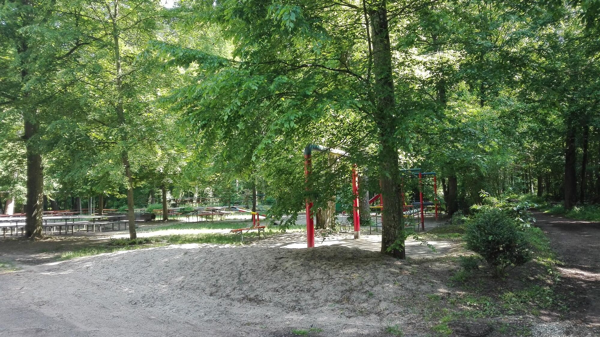
Refreshments at Naturfreundehaus Kandel (playground). Ice cream or cool drinks at Eisheisel in Minfeld.
Oblíbené prohlídky v okolí
- 3,5
Pfälzer Weinsteig Stage 10 Klingenmünster - Bad Bergzabern
střednídálková pěší trasa 12,9 km - 4,0
Wandern rund um das Schiffer- und Fischerdorf Neuburg
středníTuristika 11,3 km - 4,0
Minfeld/Freckenfeld - Wine and Meadow Path
středníTuristika 15,4 km 3-Bäche route (formerly Fassbodentour 2)
středníJízda na kole 32,4 kmRheinzabern - Otterbachbruchweg: Quality Route Wanderbares Deutschland - Dream Route
středníTuristika 8,81 kmCross-border cycling route "Beer & Brewing Culture" (PAMINA area)
heavyCyklistika na velkou vzdálenost 399,0 kmCross-border cycling route "Orchards" (PAMINA Area)
heavyCyklistika na velkou vzdálenost 398,5 kmCross-border cycling circuit "Vineyard & Terroir" (PAMINA area)
středníCyklistika na velkou vzdálenost 323,0 kmViehstrich route (formerly Fassbodentour 1)
středníJízda na kole 35,8 kmChocolate Cycling Route / 2nd Stage
středníJízda na kole 44,2 km

Pěší turistika a stopování


Nenechte si ujít nabídky a inspiraci pro vaši příští dovolenou
Vaše e-mailová adresa byl přidán do poštovního seznamu.