


Viehstrich route (formerly Fassbodentour 1)
Úroveň obtížnosti: 2
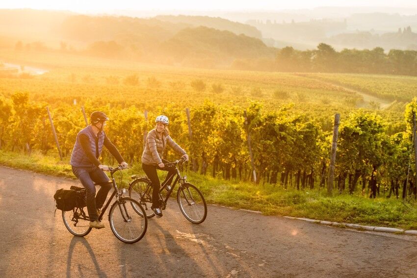
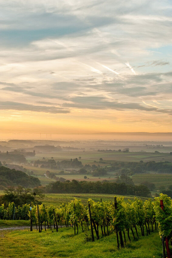
On the route, you experience meadows and vineyards, fields, and orchards. And thus many opportunities to supply yourself with wine from the winemaker and fresh regional products from the farm shops.
The...
On the route, you experience meadows and vineyards, fields, and orchards. And thus many opportunities to supply yourself with wine from the winemaker and fresh regional products from the farm shops.
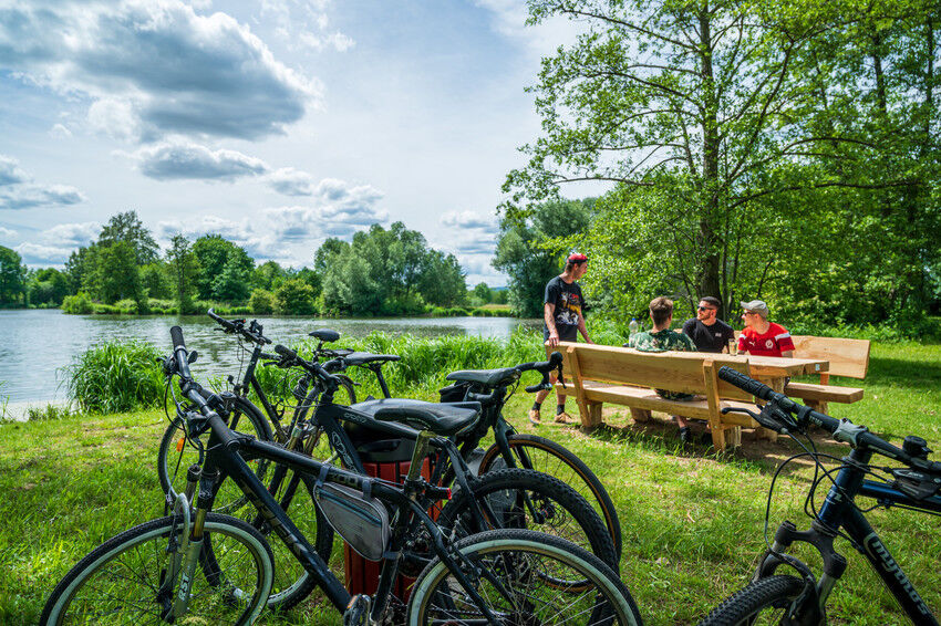
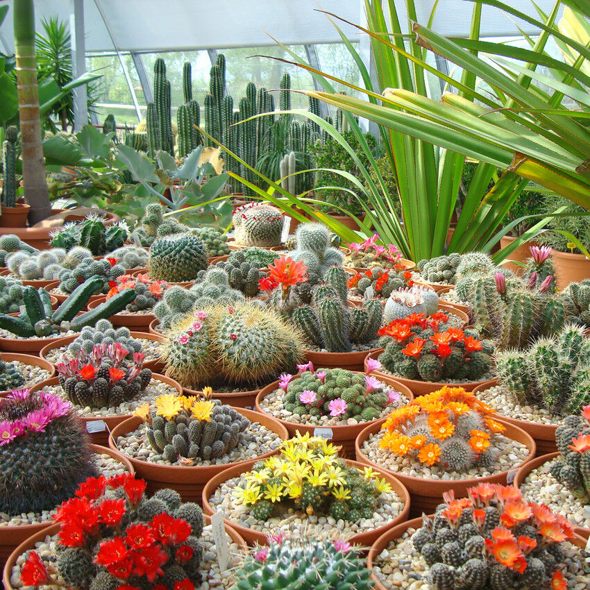
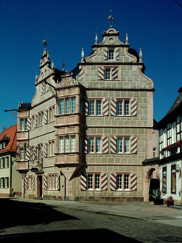
The starting point for the route is the station in Bad Bergzabern. Along the way, there are several picnic spots to directly enjoy the fresh purchases. A visit to the Cactus Land in Steinfeld with its huge selection of cacti and small dishes from the cactus kitchen is worth a visit. And after the cycling tour, the soothing water in the South Palatinate Spa invites you to relax.
PAY ATTENTION! - Campaign for considerate interaction in nature More information at www.pfalz.de/uffbasse
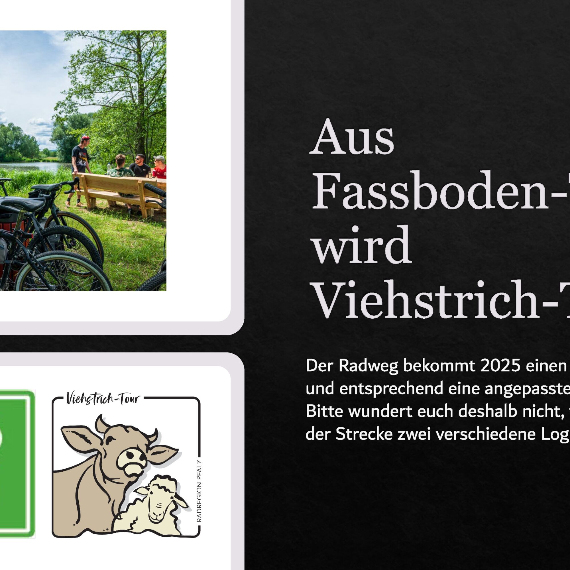
FOR YOUR INFORMATION: The cycle path will get new signage in 2025. Please do not be surprised if you encounter the two different logos on the route, as shown in the pictures.

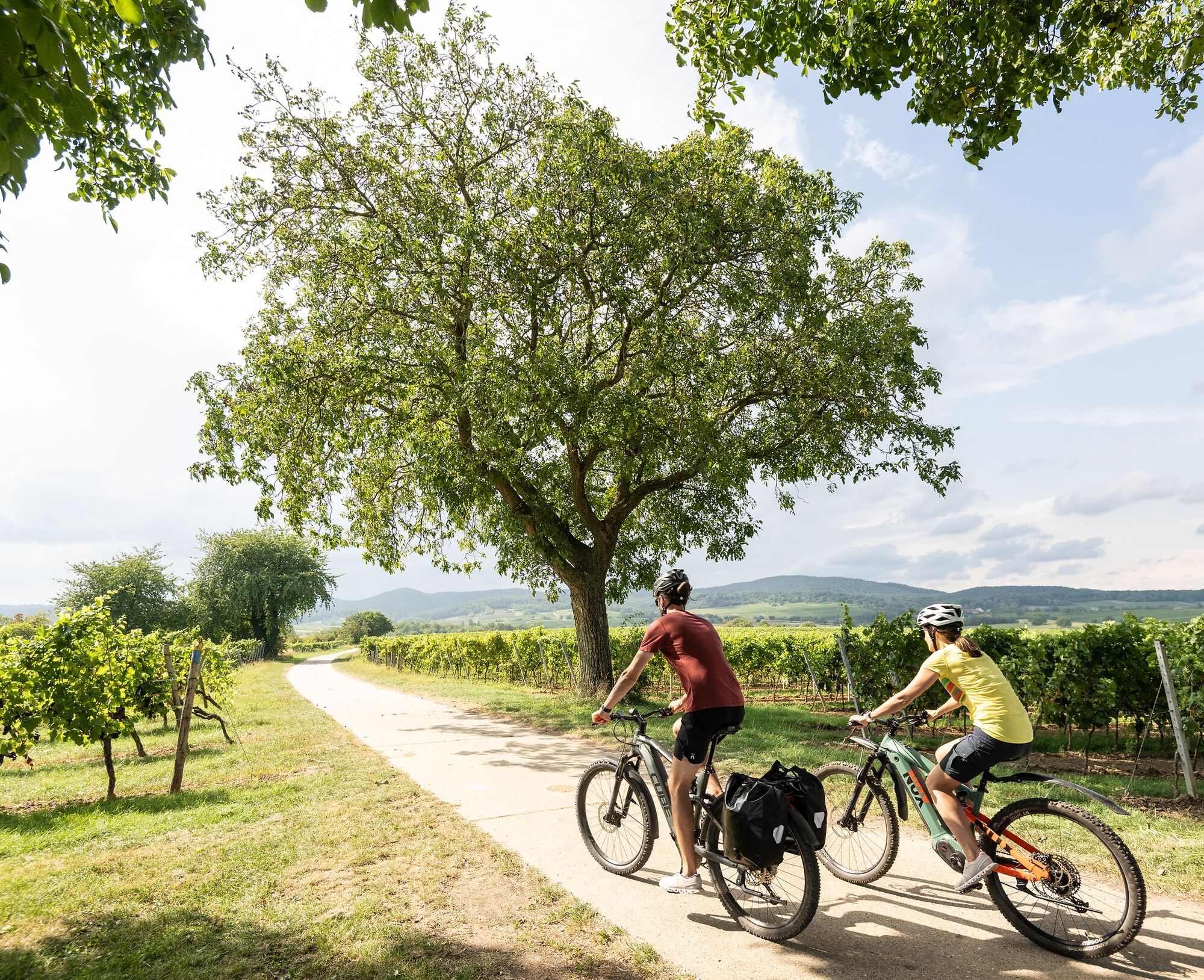
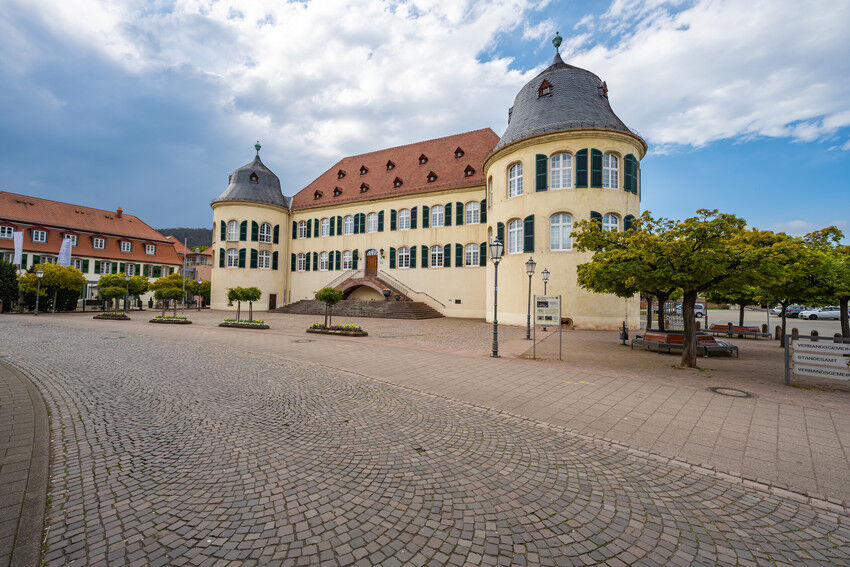
Start your circular route at the station in the spa town of Bad Bergzabern and always orient yourself during the tour by the signposts with the Fassboden No. 1 (symbol). If you start from the station in Bad Bergzabern, follow the signposts through the town. At Ludwigsplatz, you reach the Petronella-Rhein cycling route (symbol), which leads you to the outskirts and accompanies you for about 7 km on paved agricultural roads away from the street up to the height of Dierbach. Here you turn right, following the Fassboden symbol, and cycle through the vineyards of the southern Palatinate, through the villages of Dierbach and Niederotterbach to Steinfeld. A short visit to the Cactus Land is worth a cycling break before continuing along the railway line past the Steinfeld station until you reach Kapsweyer after about 2 km. After another 2 km, turn sharply right and continue past the station in Schweighofen and into the town. You stay on the road and pass the small settlements of Haftelhof and Heidenbrunnerhof on your circular route through the vineyard landscape. The last stretch leads you directly on the edge of the forest via the German Wine Route cycling path (symbol) back to your starting point in Bad Bergzabern.
Cycling on agricultural roads - Our cycling routes often run on paths shared with others. We therefore ask for always considerate and friendly behavior. Winemakers, farmers, and foresters use the agricultural roads through fields, forests, and vineyards for their daily work - also on weekends. Due to work deployments and/or weather conditions, the paths can sometimes be heavily soiled. Special caution is also advised when riding on roads in and around Palatinate villages. Road closures and detours must be strictly observed.
Danger situations - Should an emergency occur, quick help is needed. And even if mobiles can send GPS signals, at the classic rescue points it often goes fastest. These are located at places that are easily accessible to emergency vehicles. Remember the points with the green signs and a white cross. In an emergency, return there and give the number on the sign during your emergency call. This way, rescuers will know where to find you.
You can reach Bad Bergzabern via the A65 motorway.
Coming from the north, leave the motorway at the Landau South exit and take the B38 towards Bad Bergzabern.
Coming from the south, leave the motorway at the Kandel North exit and follow the road towards Winden and Bad Bergzabern.
Along the route, various train stations offer connections to local and long-distance public transport: Bad Bergzabern, Steinfeld, Kapsweyer, or Schweighofen
Timetable information: via the DB travel information and the DB Navigator app.
Bicycle transport is allowed on regional trains in the Palatinate (Rhine-Neckar transport association (VRN)) - on weekdays between 6 and 9 a.m. with a fee, otherwise free. Passengers, strollers, and wheelchairs are given priority if space is limited.
Please park only in the designated parking spaces and always keep access routes for emergency vehicles as well as working paths in the forest and vineyards clear. For overnight stays in campers & caravans, there are explicitly designated motorhome parking spaces.
The parking lot near the train station can be used well as a starting point for your cycling tour if you arrive by car.
You can use the following address for navigation devices: Station parking lot, Bahnhofstr. 5, 76887 Bad Bergzabern
2
Enjoy a Mediterranean flair in the Cactus Land in Steinfeld and stop by the numerous farm shops and wineries along the way.
Oblíbené prohlídky v okolí
-
4.5
Annweiler Castle Trail
středníTuristika 7.72 km -
4.3
Eschbach-Trifelsblick-Madenburg-Eschbach
světloTuristika 9.37 km -
4.5
Palatinate Wine Trail stage 11 Bad Bergzabern - Schweigen-Rechtenbach
střednídálková pěší trasa 15.8 km -
3.5
Pfälzer Weinsteig Stage 10 Klingenmünster - Bad Bergzabern
střednídálková pěší trasa 12.9 km -
4.5
Border region route
středníTuristika 11.4 km -
Palatinate Wine Trail Stage 09 Annweiler am Trifels - Klingenmünster
heavydálková pěší trasa 17.6 km -
Gleiszellen - Burg Landeck - Martinsturm
středníTuristika 12.2 km -
5.0
Leinsweiler - Slevogtweg - Auf den Spuren von Max Slevogt
středníTuristika 9.29 km -
5.0
Ranschbach Römerweg
středníTuristika 13.5 km -
4.0
Palatinate Forest Trail Stage 09 Erlenbach - Schweigen-Rechtenbach
střednídálková pěší trasa 17.2 km
Pěší turistika a stopování


Nenechte si ujít nabídky a inspiraci pro vaši příští dovolenou
Vaše e-mailová adresa byl přidán do poštovního seznamu.