


UNESCO World Heritage Upper Middle Rhine Valley - Around the central valley
Úroveň obtížnosti: T2
Fotografie našich uživatelů
 © Markus Schneider 7Vytvořeno dne 08.03.2026
 © Markus Schneider 7Vytvořeno dne 08.03.2026
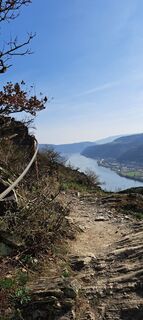 © Markus Schneider 7Vytvořeno dne 08.03.2026
 © Markus Schneider 7Vytvořeno dne 08.03.2026
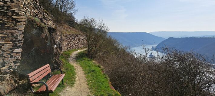 © Markus Schneider 7Vytvořeno dne 08.03.2026
 © Markus Schneider 7Vytvořeno dne 08.03.2026
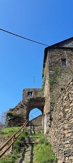 © Markus Schneider 7Vytvořeno dne 08.03.2026
 © MMVytvořeno dne 18.10.2025
 © MMVytvořeno dne 18.10.2025
 © MMVytvořeno dne 18.10.2025
 © MMVytvořeno dne 18.10.2025
 © SebastianVytvořeno dne 05.07.2025
 © Michael BauerVytvořeno dne 06.02.2025
 © Michael BauerVytvořeno dne 06.02.2025
 © Michael BauerVytvořeno dne 06.02.2025
 © Michael BauerVytvořeno dne 06.02.2025
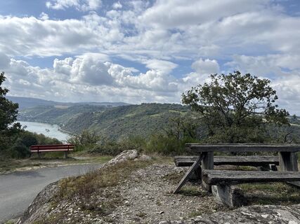 © Sonja RiegeVytvořeno dne 13.09.2024
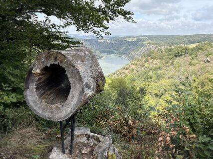 © Sonja RiegeVytvořeno dne 13.09.2024
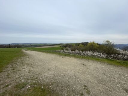
 © Frank FuchsVytvořeno dne 10.04.2023
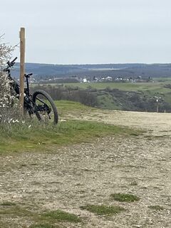 © Frank FuchsVytvořeno dne 10.04.2023
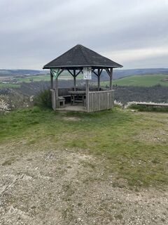 © Frank FuchsVytvořeno dne 10.04.2023
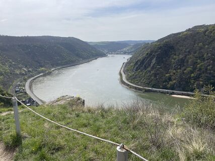 © Frank FuchsVytvořeno dne 10.04.2023
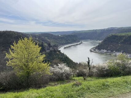 © Frank FuchsVytvořeno dne 10.04.2023
 © Andreas OpitzVytvořeno dne 07.10.2022
 © Andreas OpitzVytvořeno dne 07.10.2022
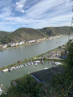 © Andreas OpitzVytvořeno dne 07.10.2022
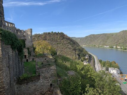 © Andreas OpitzVytvořeno dne 07.10.2022
 © Finn WetterVytvořeno dne 17.08.2025
 © Arthur MuskallaVytvořeno dne 22.03.2025
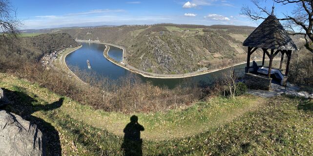 © Arthur MuskallaVytvořeno dne 22.03.2025
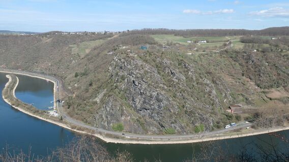 © Arthur MuskallaVytvořeno dne 22.03.2025
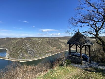 © Arthur MuskallaVytvořeno dne 22.03.2025


If you want a little more:
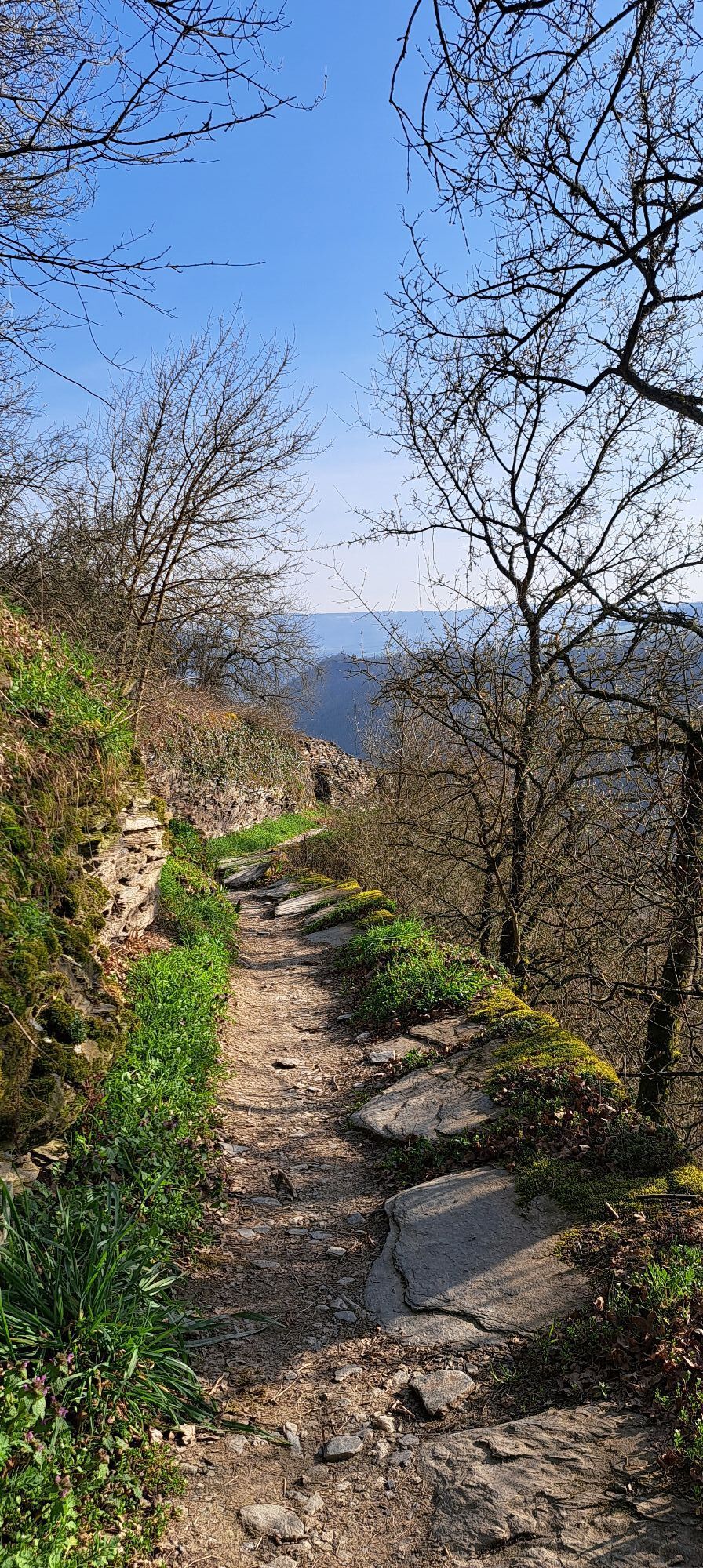
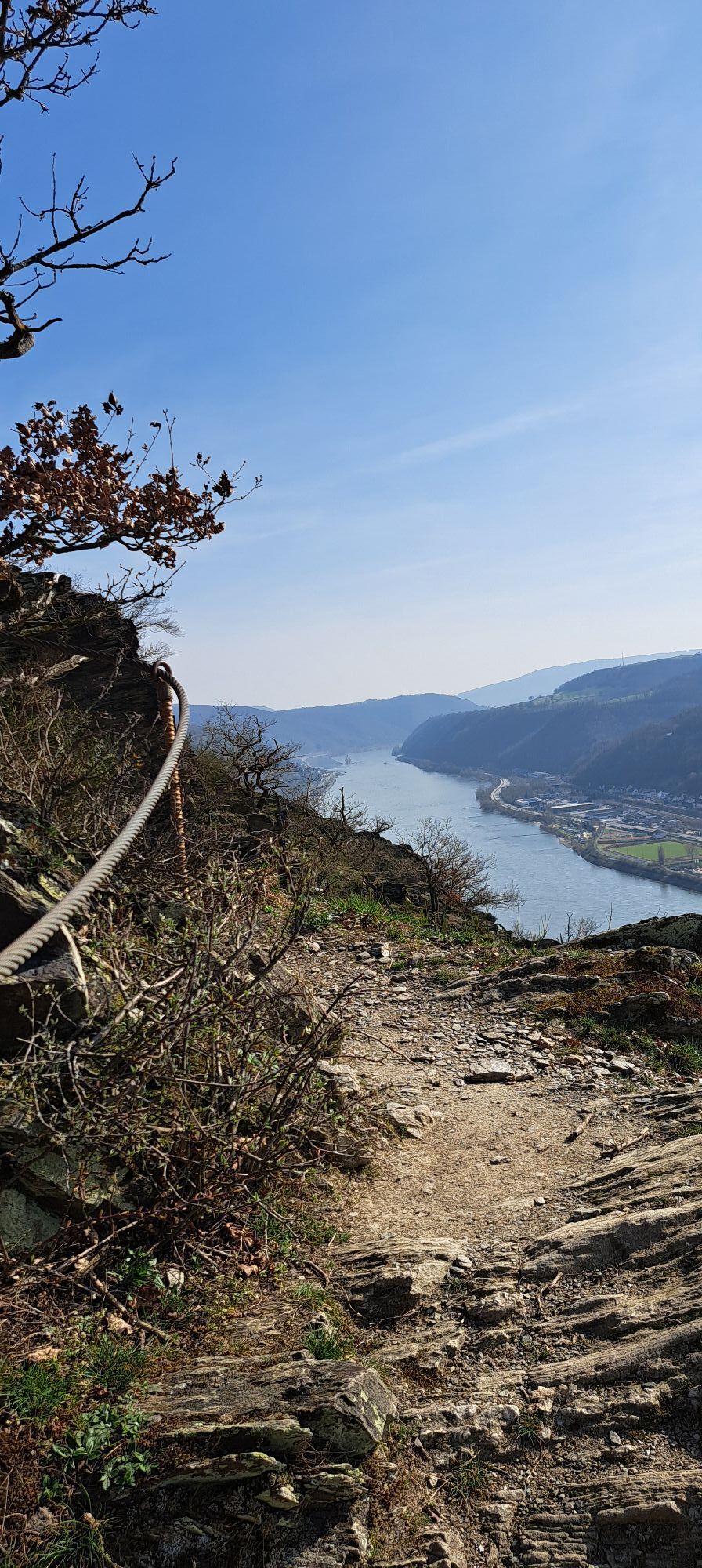
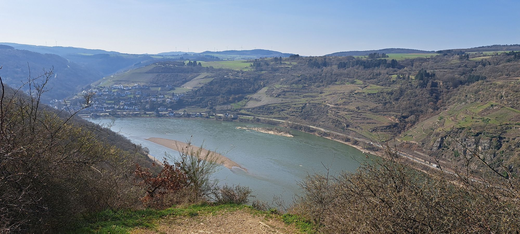
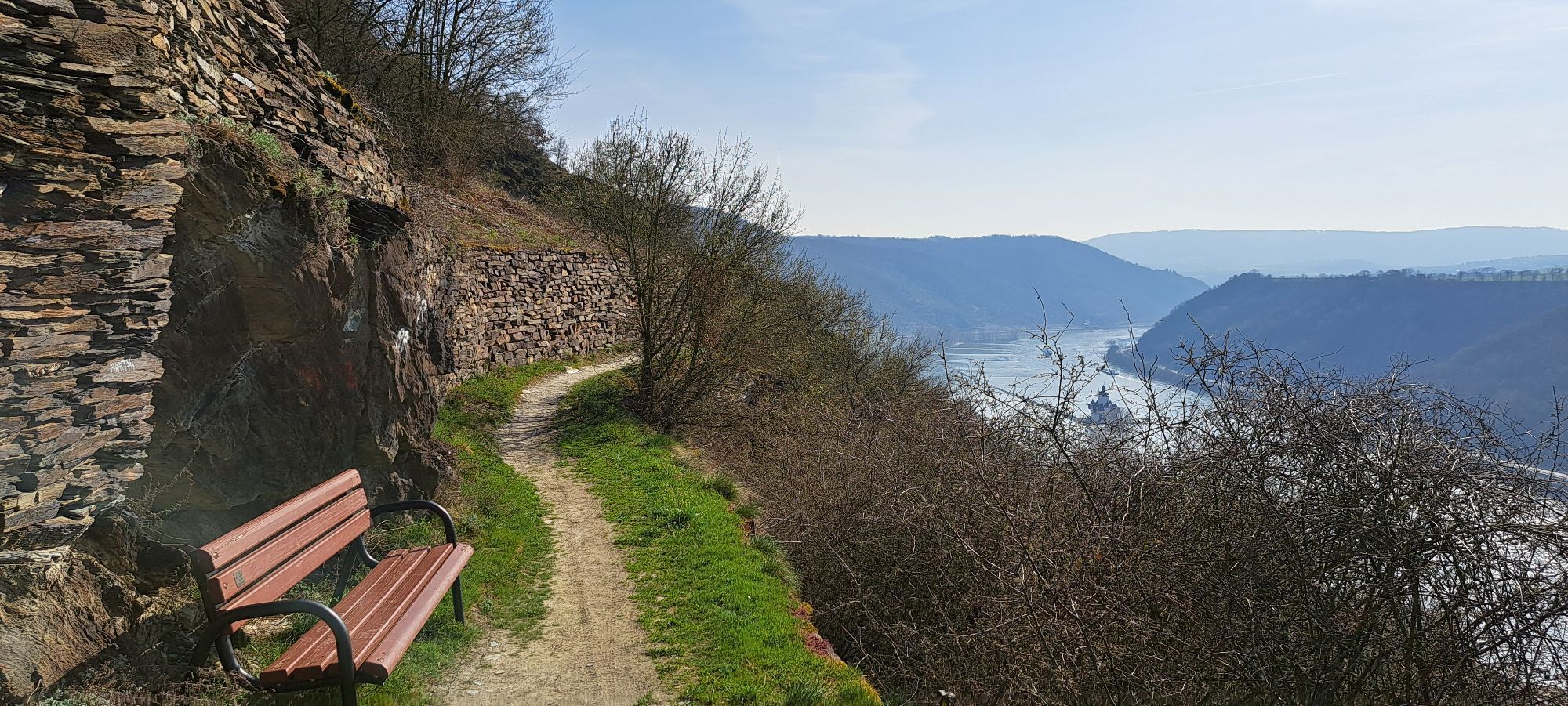
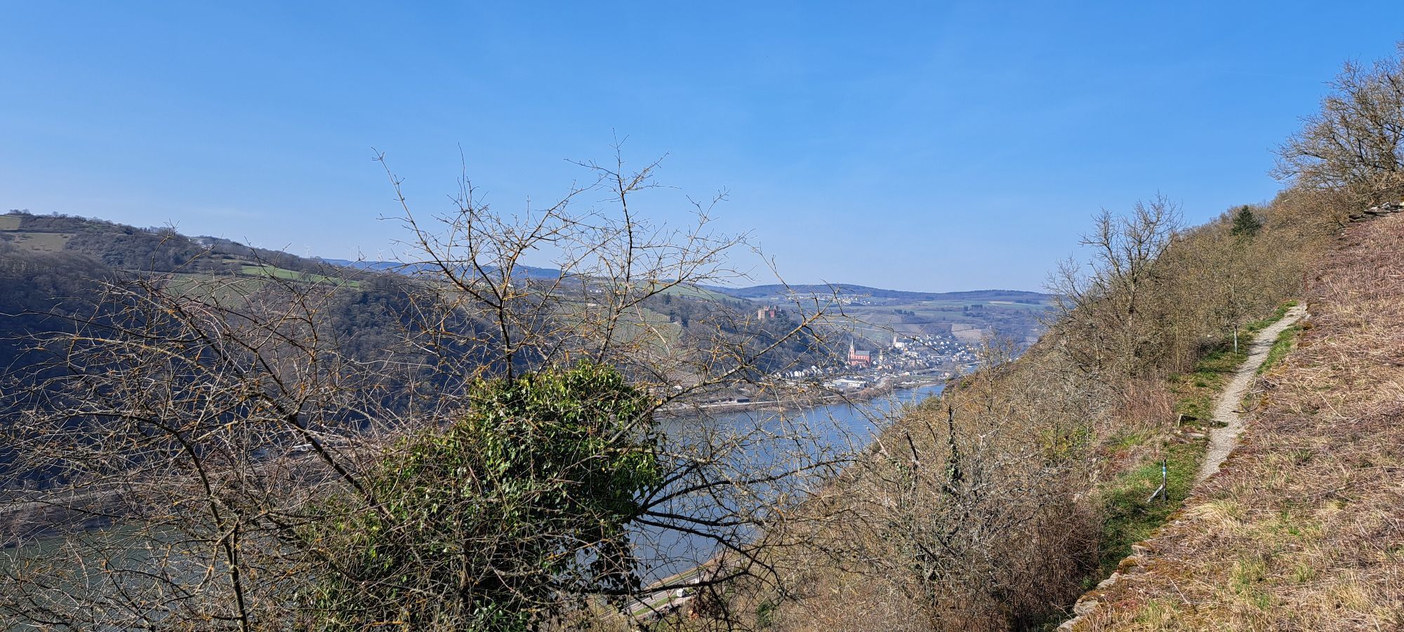
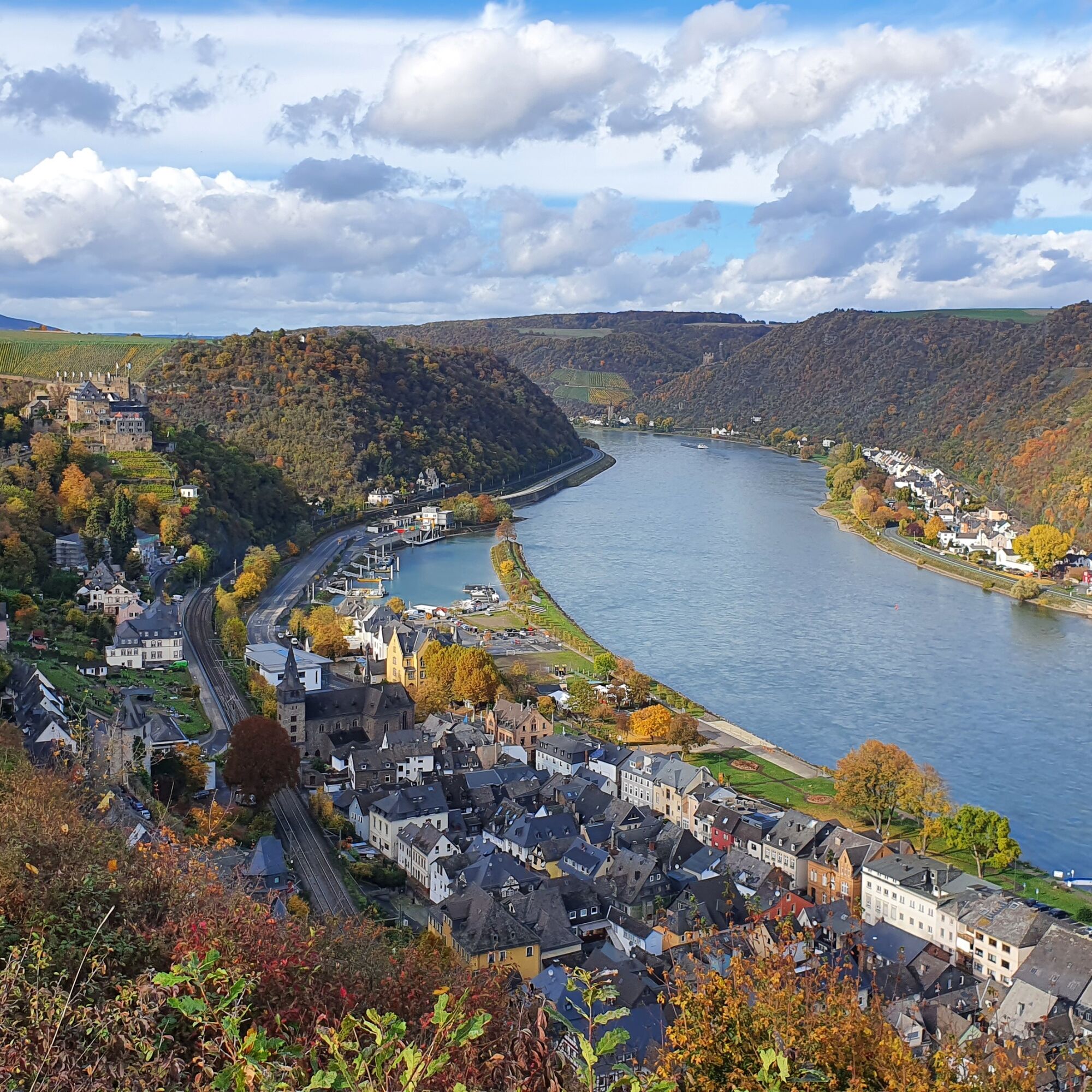
Long-distance hiking route round tour via Rheinsteig and Rheinburgenweg past the most beautiful viewpoints in the central valley of the UNESCO World Heritage Upper Middle Rhine...
If you want a little more:
Long-distance hiking route round tour via Rheinsteig and Rheinburgenweg past the most beautiful viewpoints in the central valley of the UNESCO World Heritage Upper Middle Rhine Valley.
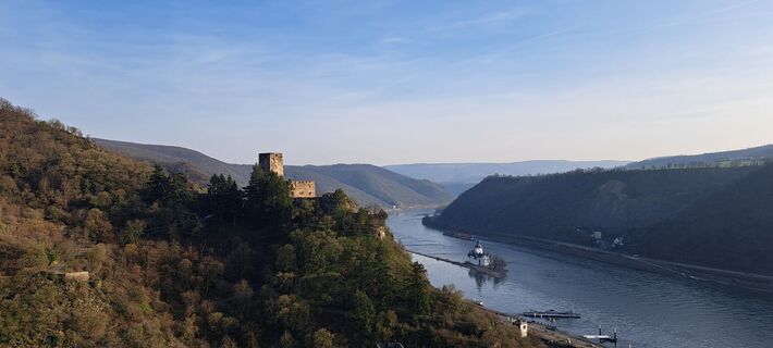
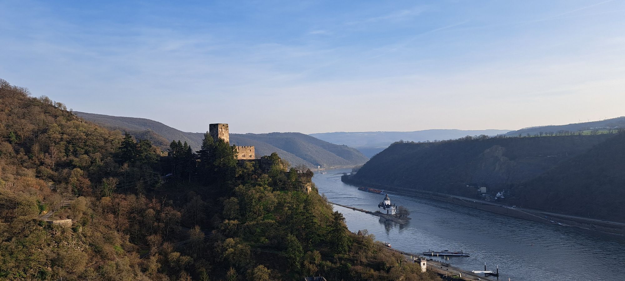
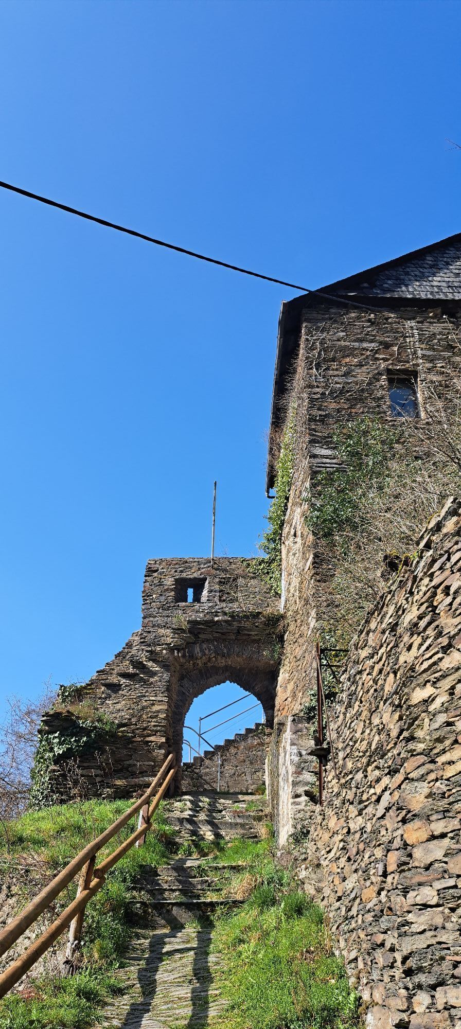
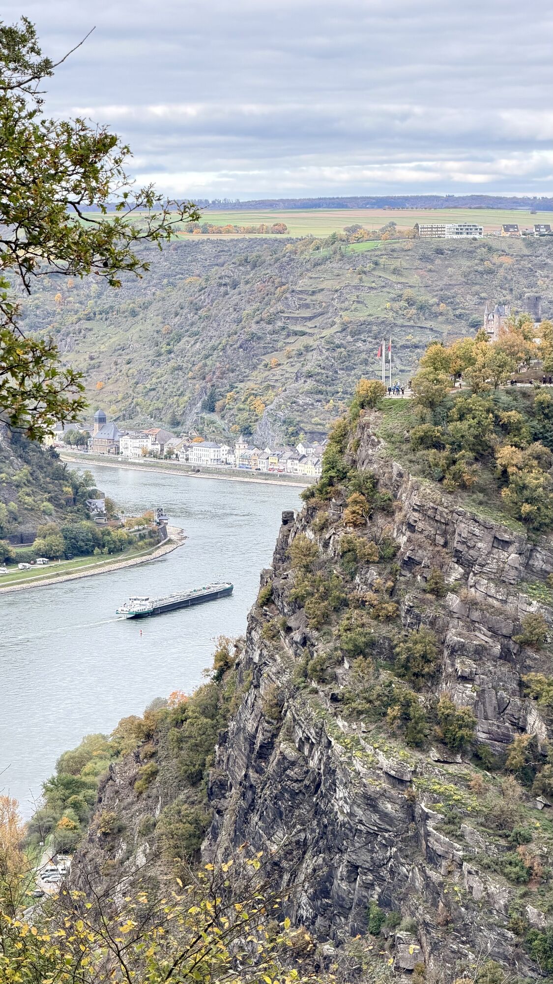
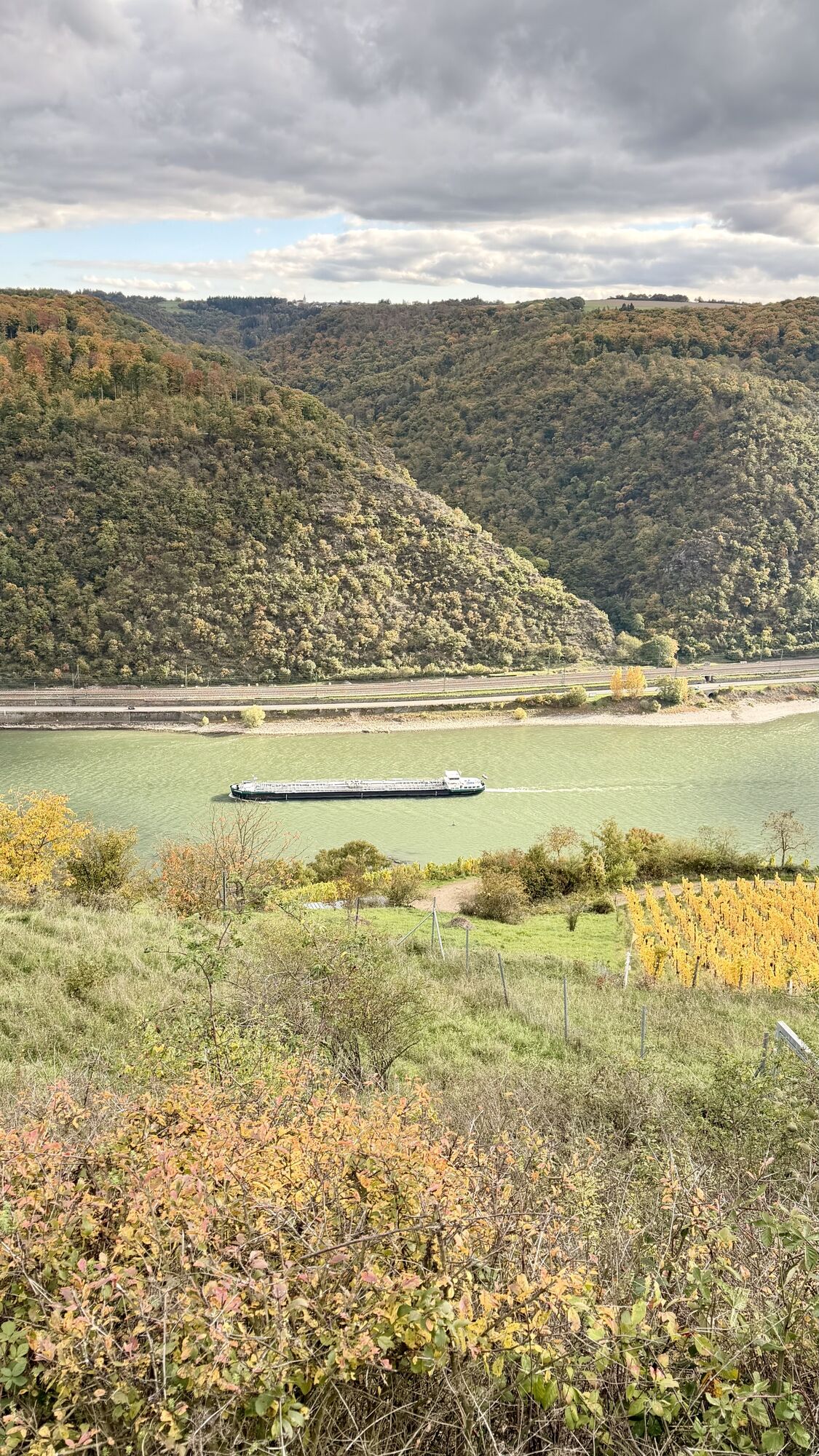
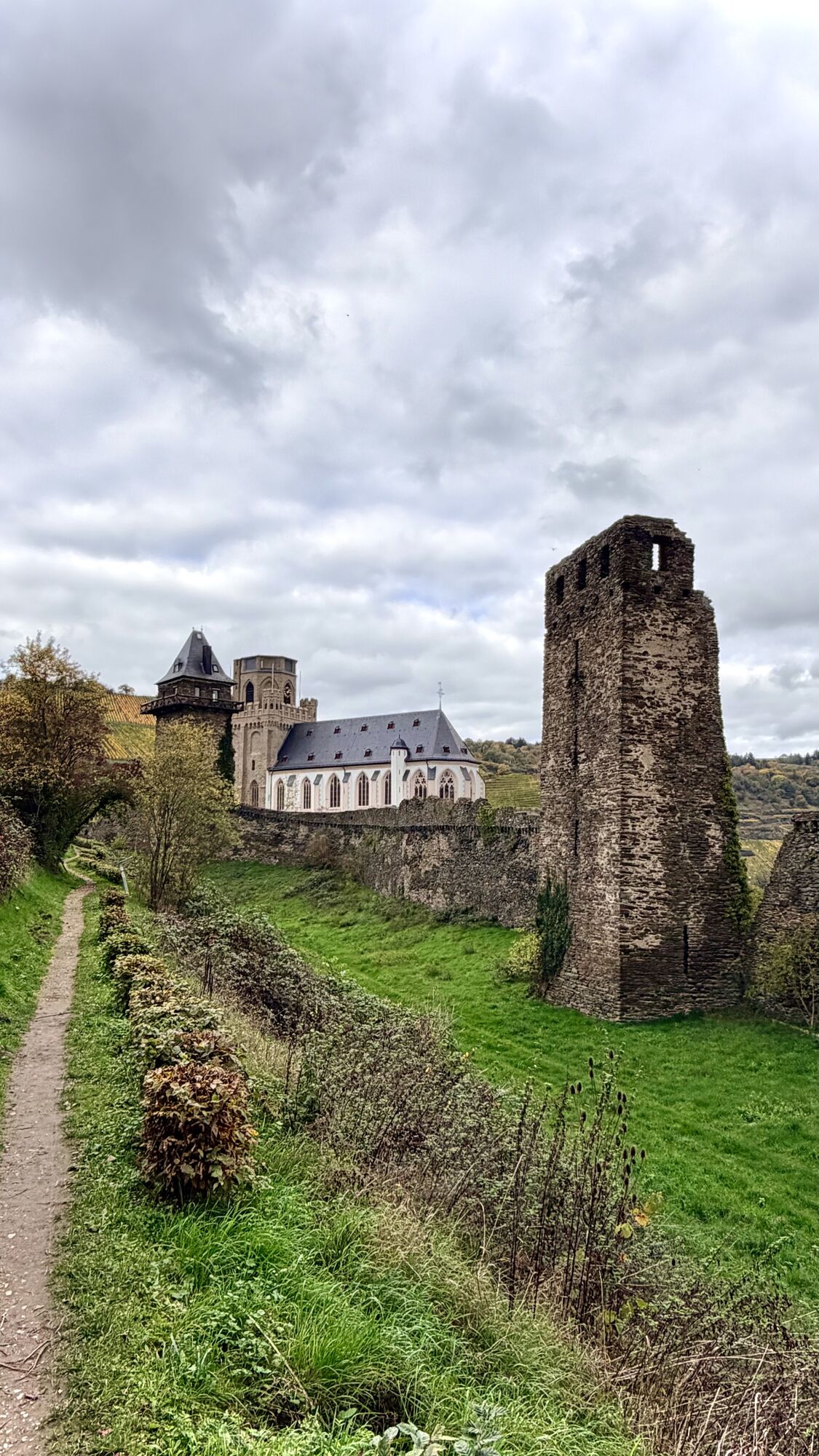
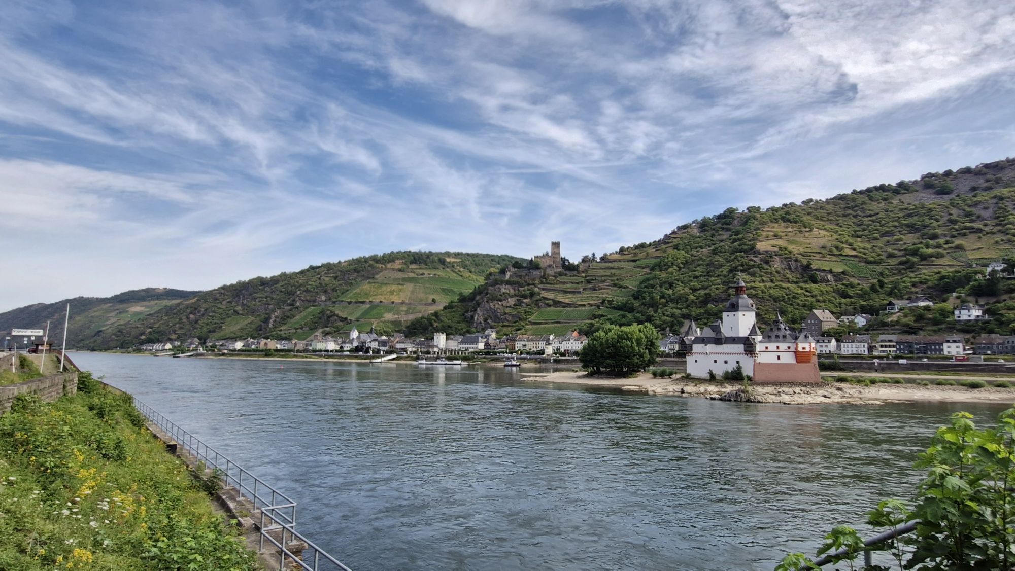
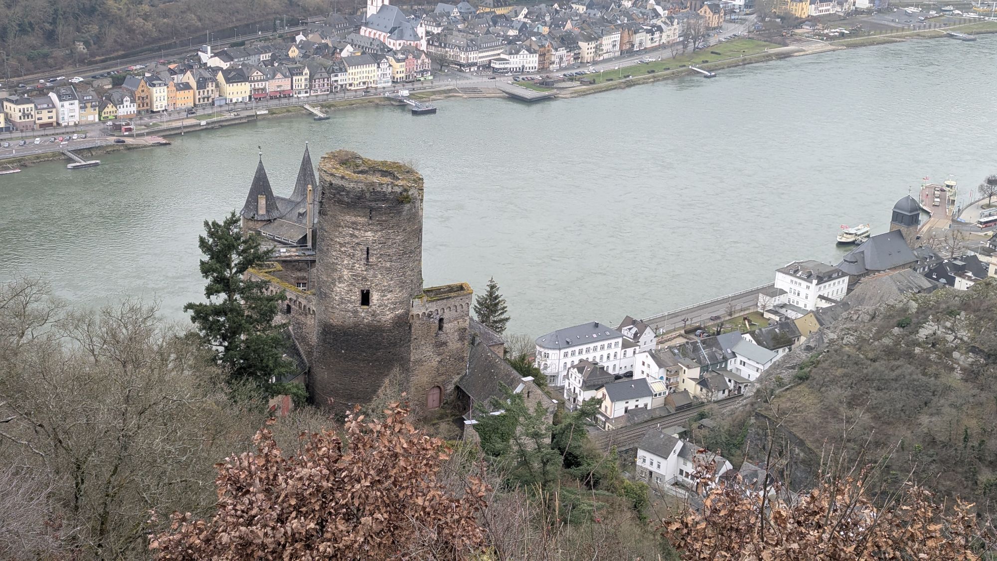
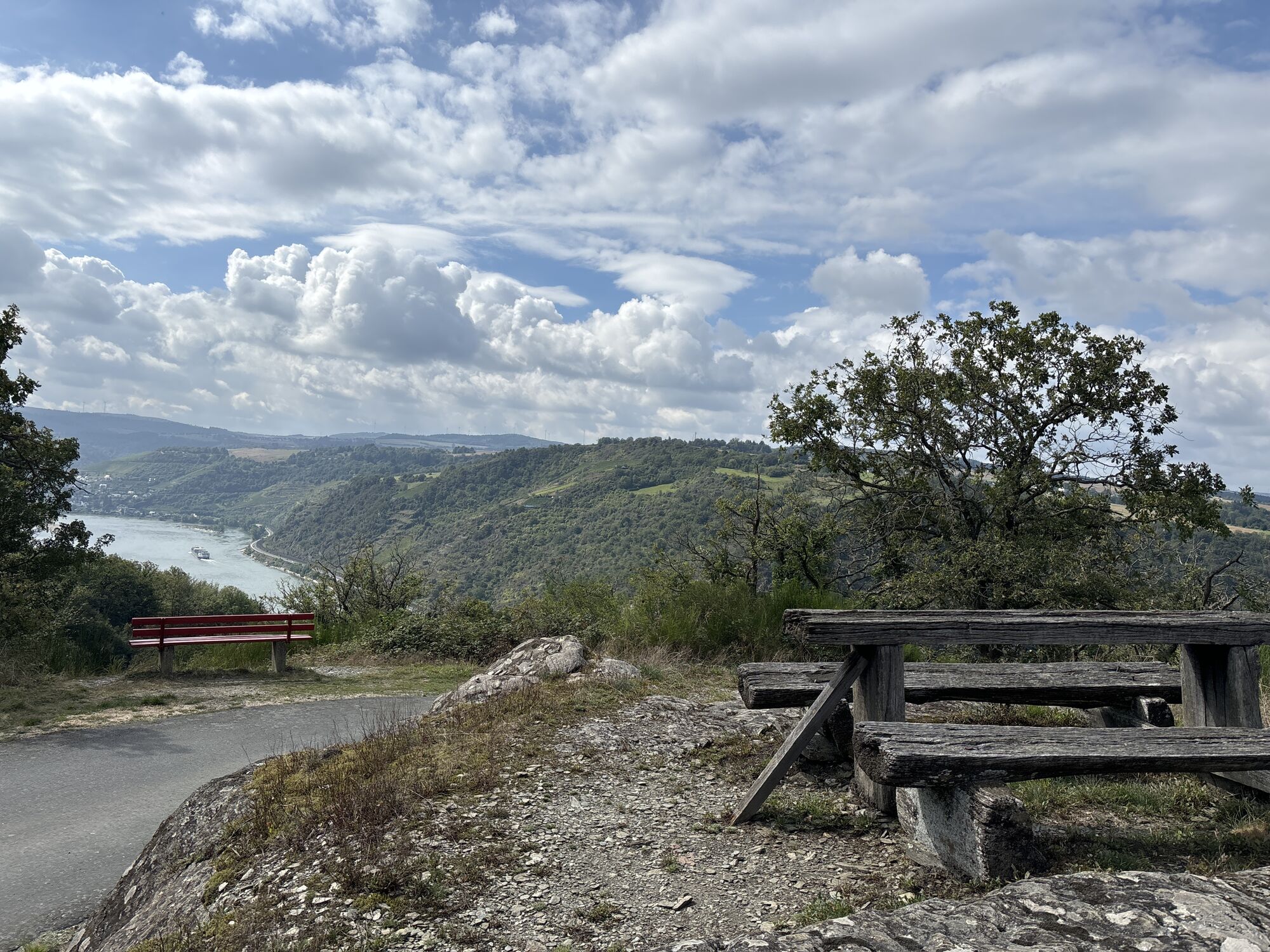
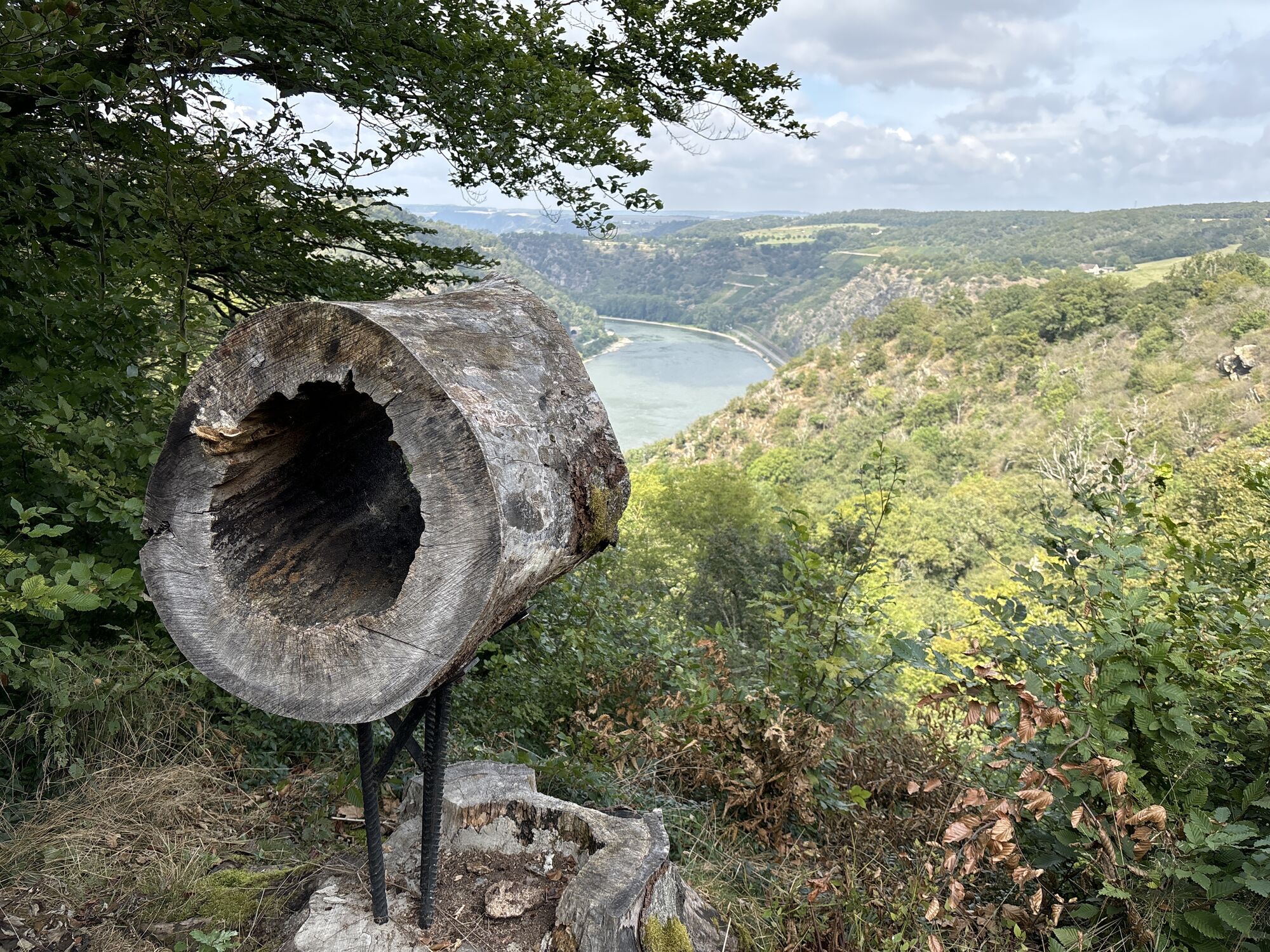
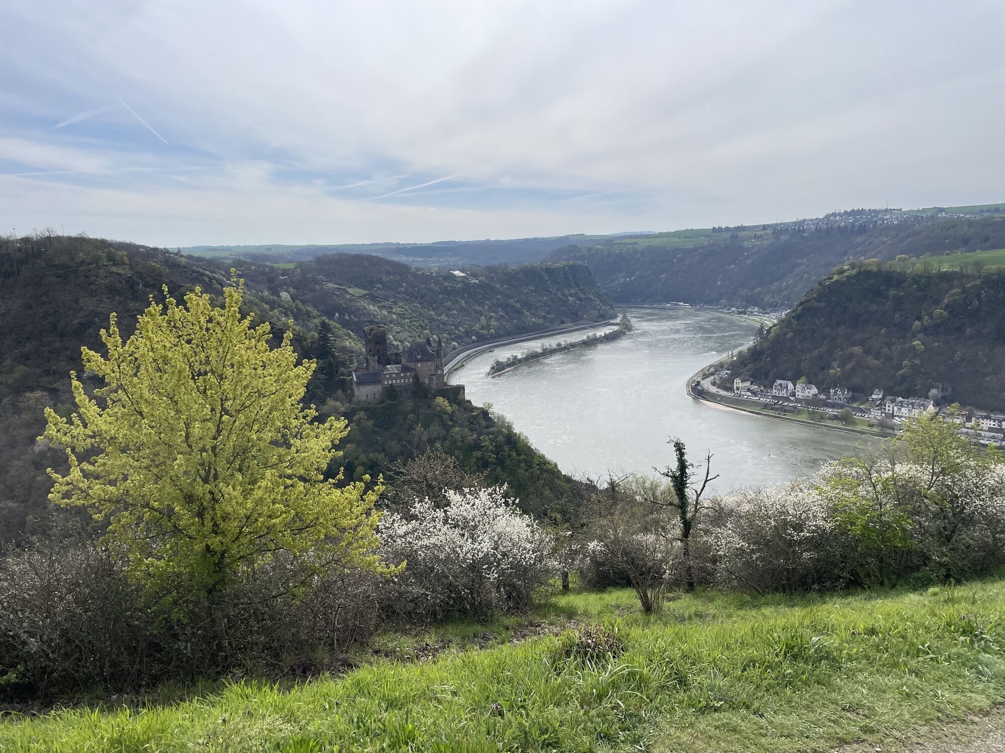
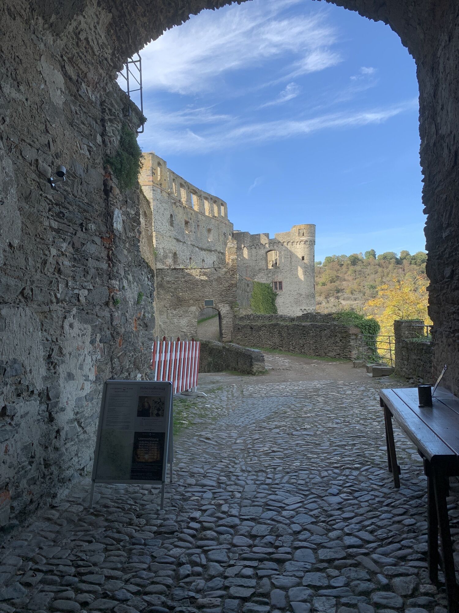
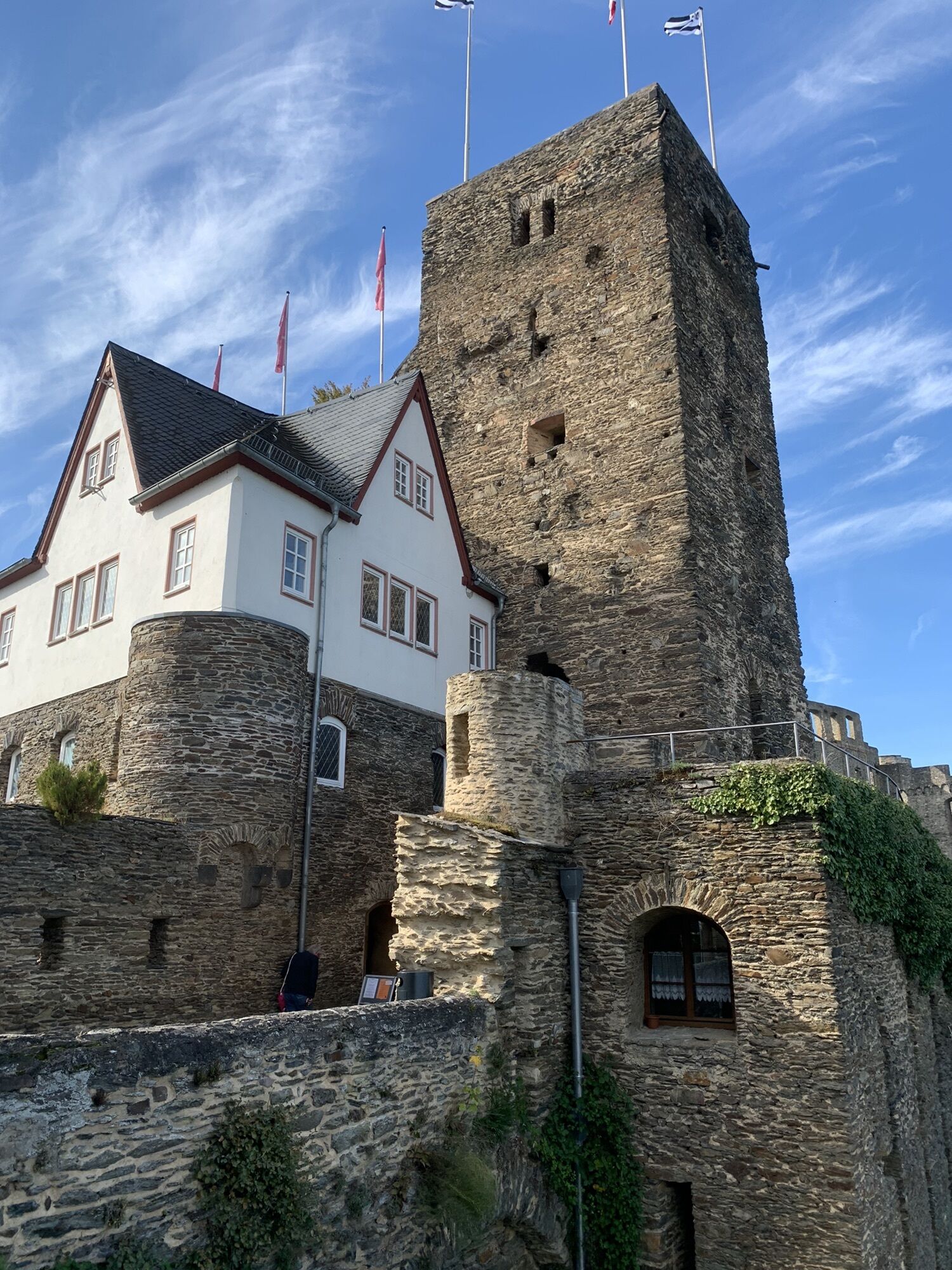
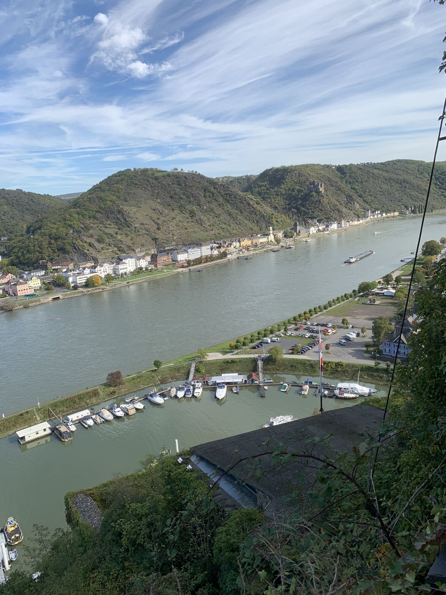
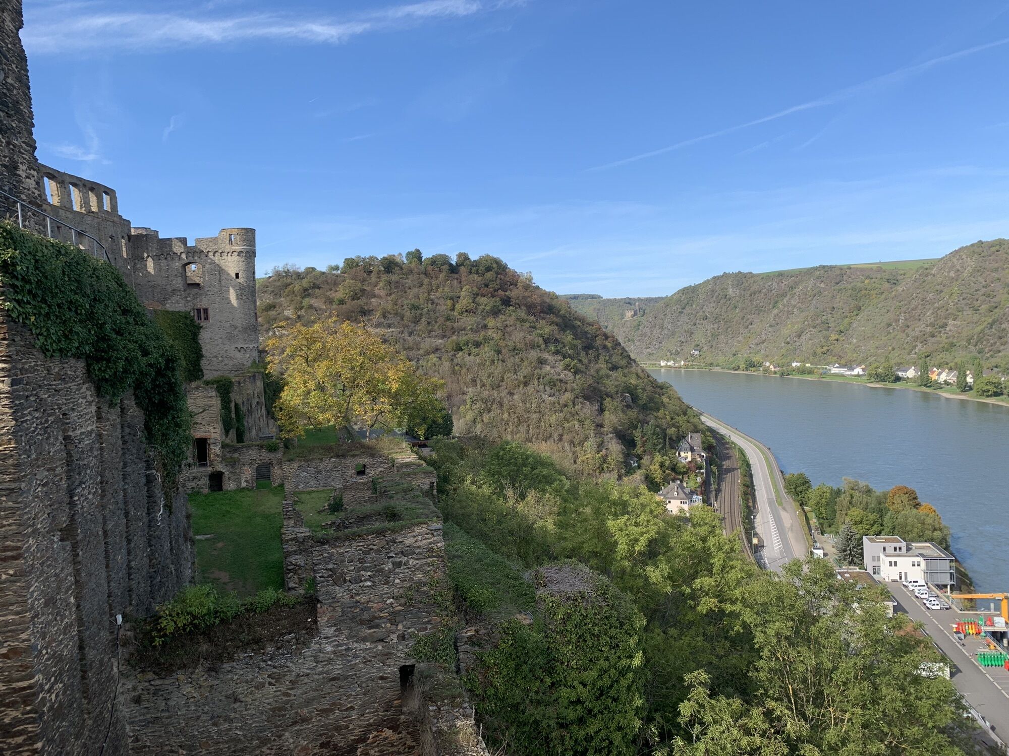
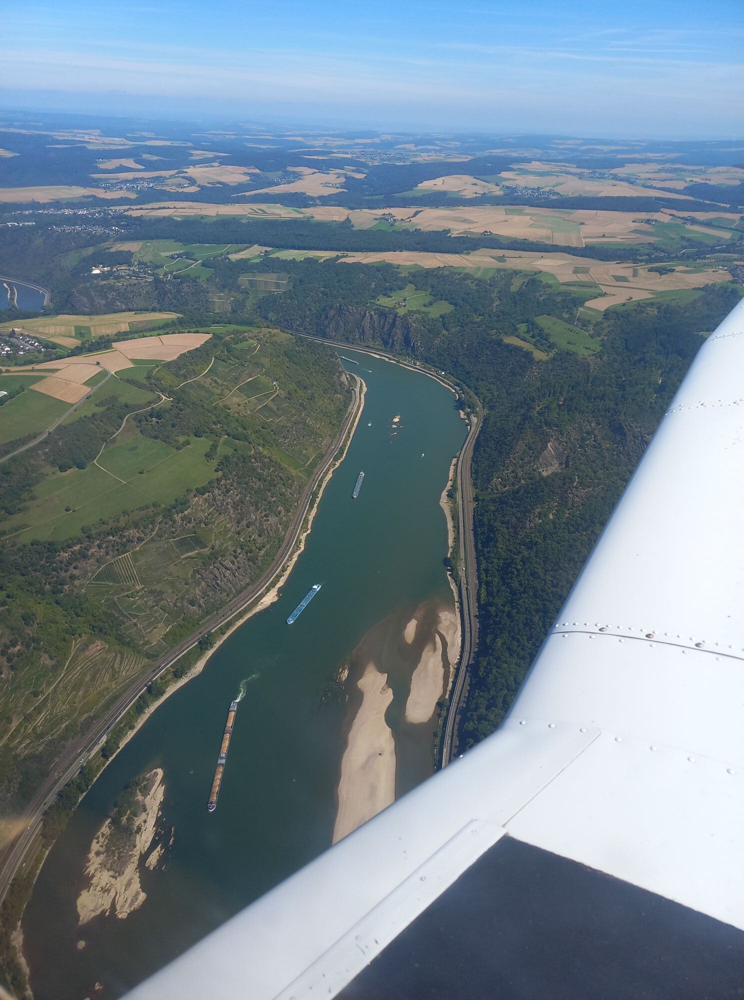
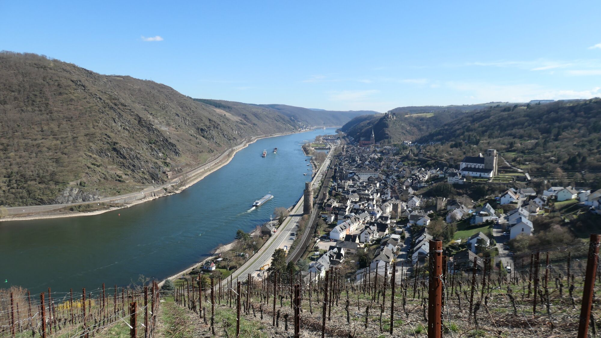
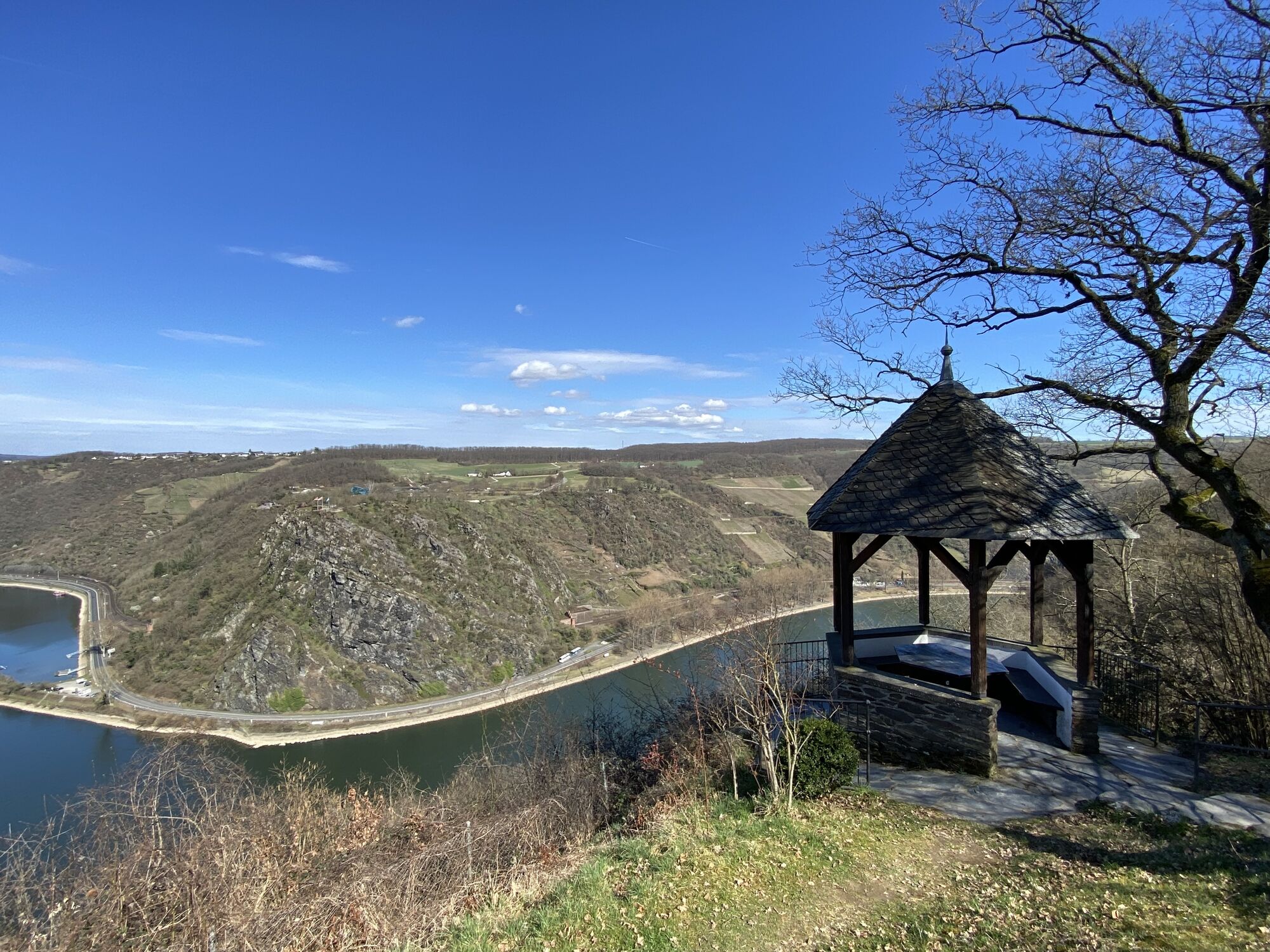
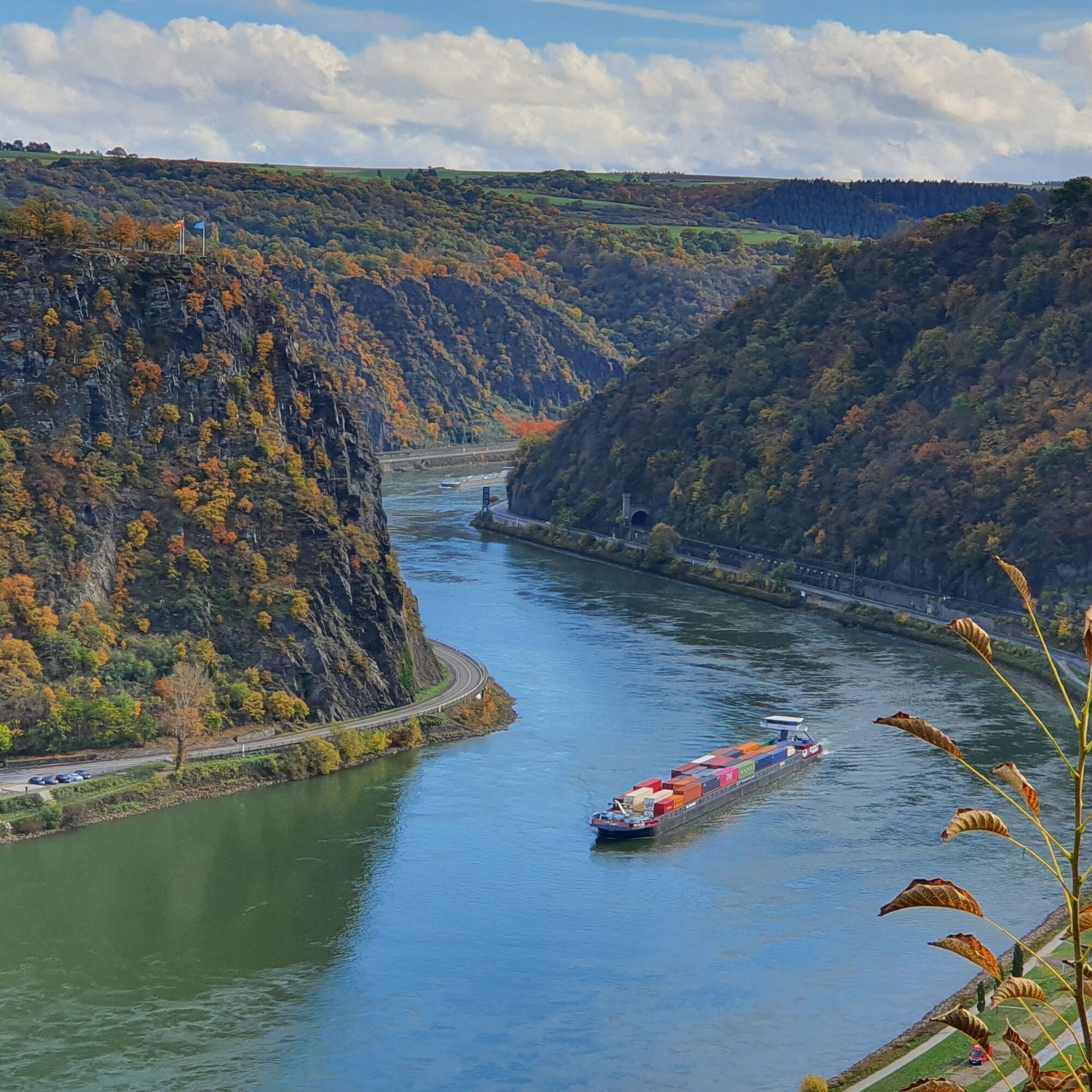
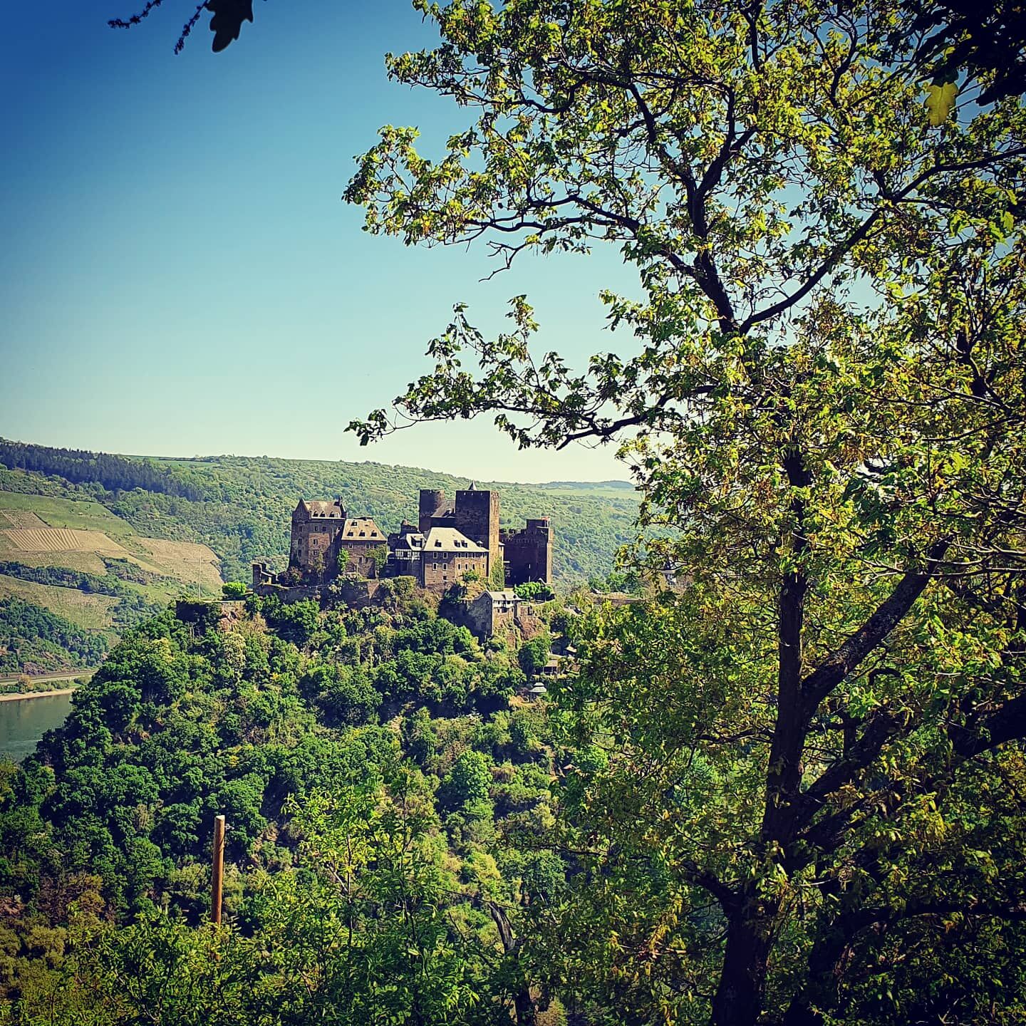
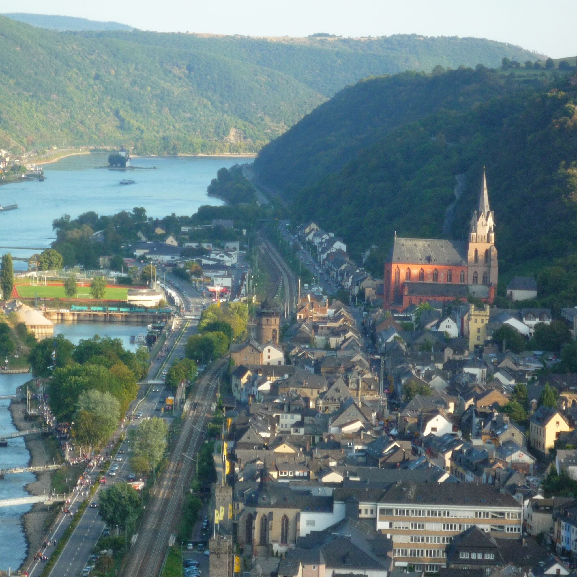
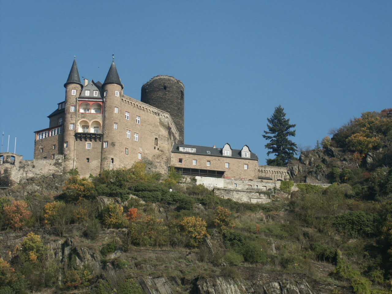
Past 9 castles (Rheinfels, Kurtrierische Burg Boppard, Liebenstein, Sterrenberg, Maus, Katz, Gutenfels, Pfalzgrafenstein and Schönburg) and many breathtaking viewpoints such as Maria Ruh, the Loreley Plateau and the Spitznack.
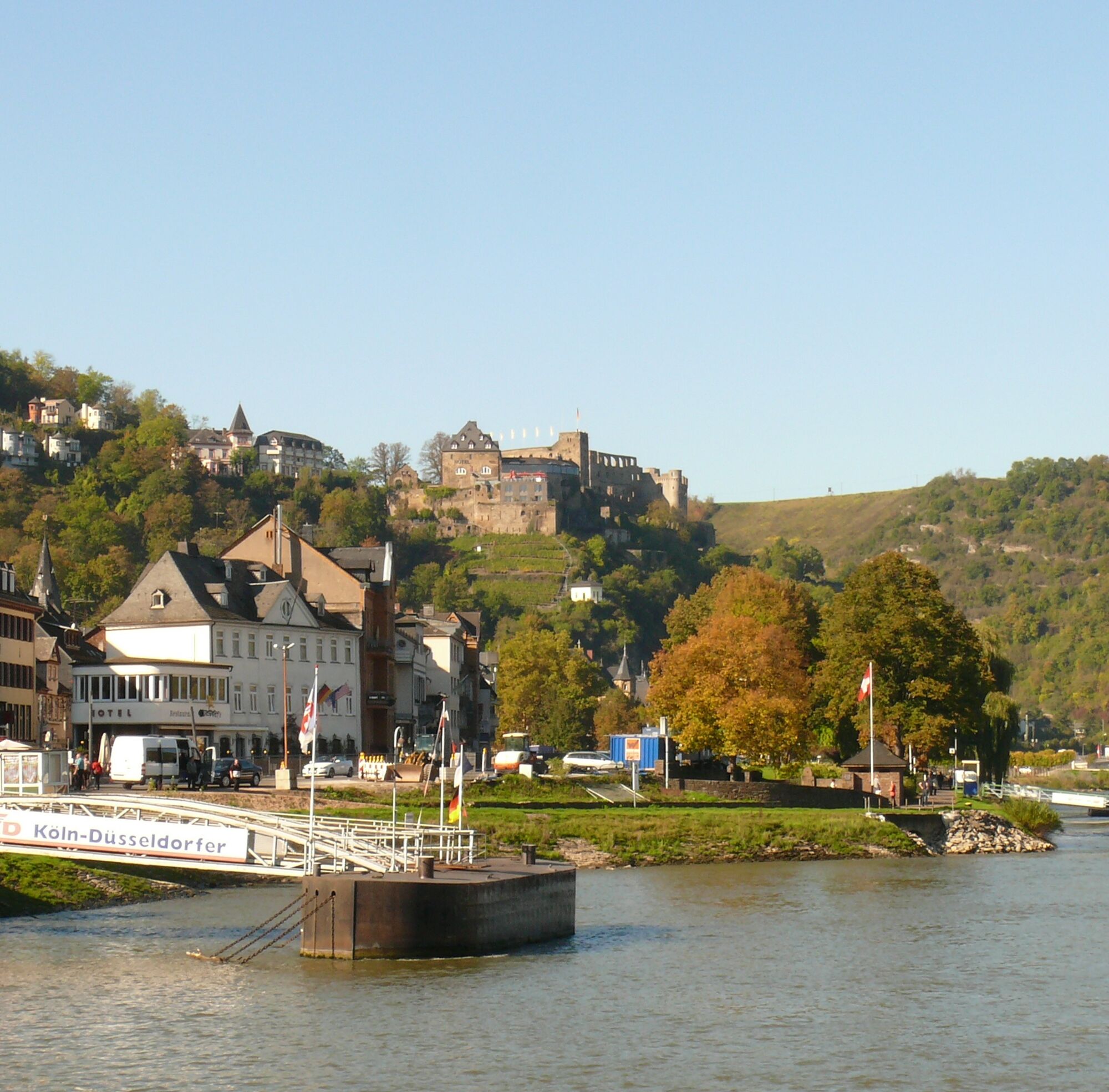
Three ferries in Boppard, St. Goar and Kaub provide crossings of the Rhine, and train stations in almost every Rhine town guarantee the return trip. Therefore feasible both as a stage route and from a fixed location.

Ano
Ano
T2

Oblíbené prohlídky v okolí
- 4,8
Langhalsweg Osterspai
středníTuristika 7,50 km - 5,0
Traumschleife Mittelrhein
heavyTuristika 14,7 km - 5,0
Panorama trail St. Goar
středníTuristika 8,47 km - 5,0
Dream Loop Upper Baybach Valley
heavyTuristika 15,6 km - 5,0
Traumschleifchen Pfalzblick
světloTuristika 5,68 km - 4,7
Schessels Beersche
středníTuristika 5,44 km - 4,3
Dream loop Werlau Mushroom
světloTuristika 5,60 km - 5,0
Traumschleifchen Baybachquellen
světloTuristika 6,22 km - 5,0
Kaub - Burg Herzogenstein - Spitznack - Hasenberg
heavydálková pěší trasa 22,1 km - 5,0
Kaub - Bacharach - Clemenskapelle - Pfarrkirche St. Martin
střednídálková pěší trasa 13,8 km
Pěší turistika a stopování


Nenechte si ujít nabídky a inspiraci pro vaši příští dovolenou
Vaše e-mailová adresa byl přidán do poštovního seznamu.