


Schessels Beersche
The starting point of the hike is Thörlingen at the chapel.
Schessels Beersche near Thörlingen, located in the middle of the forest, was rediscovered and cleared by a hiking group.
The old spring, called...
The starting point of the hike is Thörlingen at the chapel.
Schessels Beersche near Thörlingen, located in the middle of the forest, was rediscovered and cleared by a hiking group.
The old spring, called "Schessels Beersche," is also mentioned in the Thörlingen chronicle and probably once served as a water source for people and animals. The water source has the shape of a small basin, hence the name "Schessels Beersche." The spring was completely buried a few years ago during trail construction and was almost forgotten. Now the seniors of Thörlingen have cleared it, and the water can flow again. The area in front has been redesigned, dried out, and a small bench with a table invites you to linger.
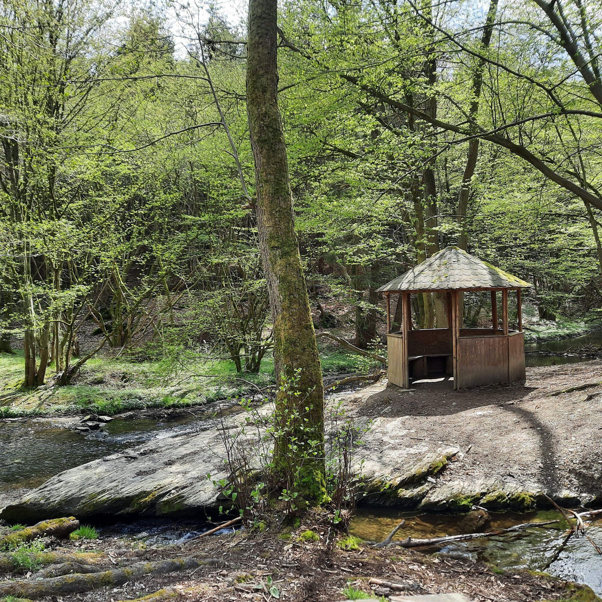
You will also find a beautiful picnic spot at the "Rutsch" directly by the Baybach.
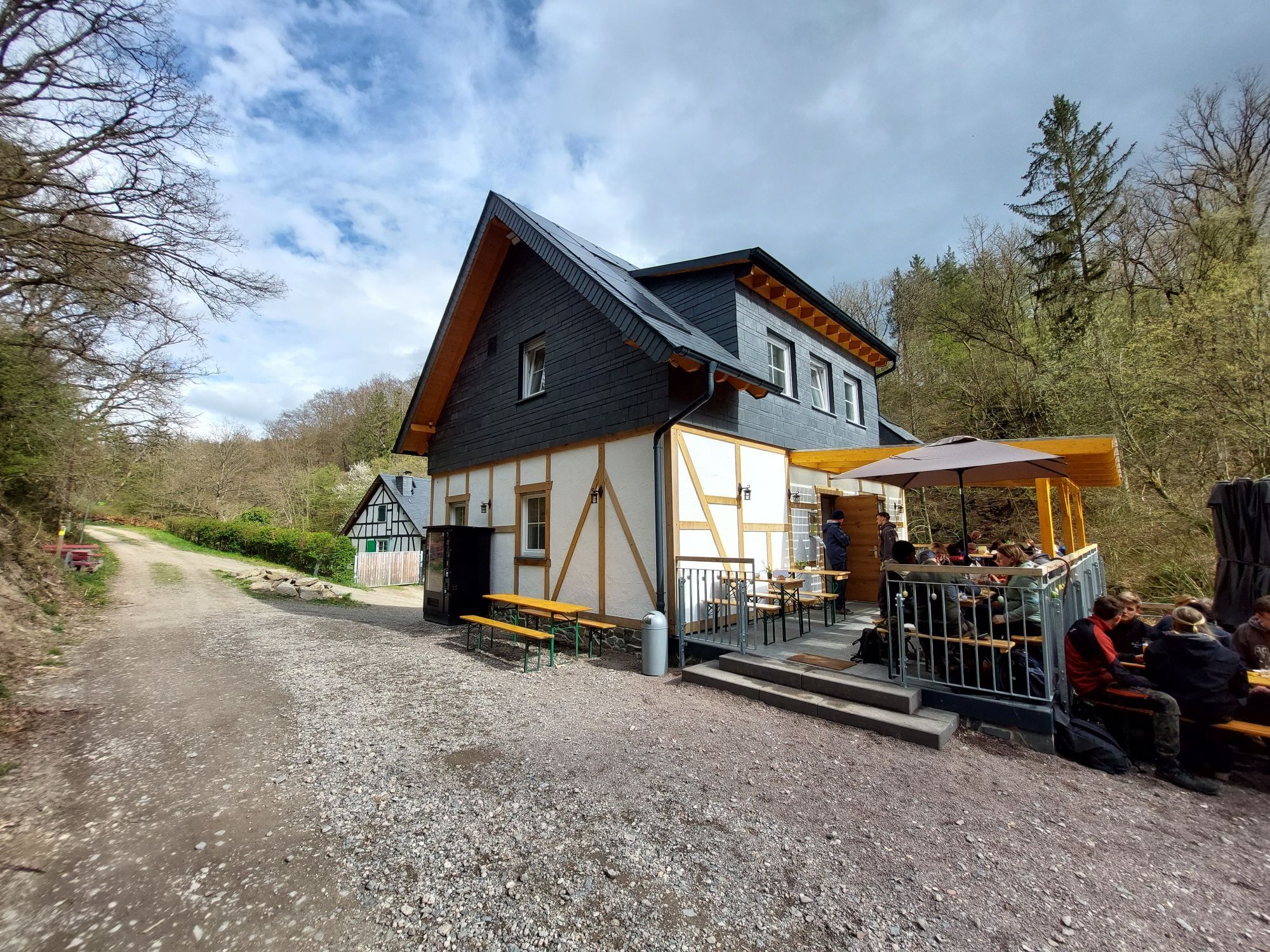
The hiking trail then leads past the Striedersmühle, where you can branch off onto the Traumschleife Oberes Baybachtal hiking trail.

Ano
Ano
Sturdy hiking boots recommended.
Via the B327 (Hunsrück High Road) exit Thörlingen
In Thörlingen, past the church, there is a parking option on the edge of the village.
A refreshment at the Striedersmühle is expected to be possible from August 2024.
Oblíbené prohlídky v okolí
- 4,6
Traumschleife Ehrbachklamm
heavyTuristika 11,0 km - 4,8
Langhalsweg Osterspai
středníTuristika 7,50 km - 4,4
Mosel - Burg Eltz - Mosel
středníTuristika 12,8 km - 4,8
Murscher Eselsche Dream Loop
středníTuristika 10,7 km - 5,0
Traumschleife Mittelrhein
heavyTuristika 14,7 km - 5,0
Panorama trail St. Goar
středníTuristika 8,47 km - 5,0
Dream Loop Upper Baybach Valley
heavyTuristika 15,6 km Pfalzfeld - Geierlay suspension bridge
středníJízda na kole 28,1 km- 4,8
Dommershausen - Steffenshof - Schmausemühle - Beltheim
heavyTuristika 10,4 km - 4,3
Dream loop Werlau Mushroom
světloTuristika 5,60 km
Pěší turistika a stopování


Nenechte si ujít nabídky a inspiraci pro vaši příští dovolenou
Vaše e-mailová adresa byl přidán do poštovního seznamu.