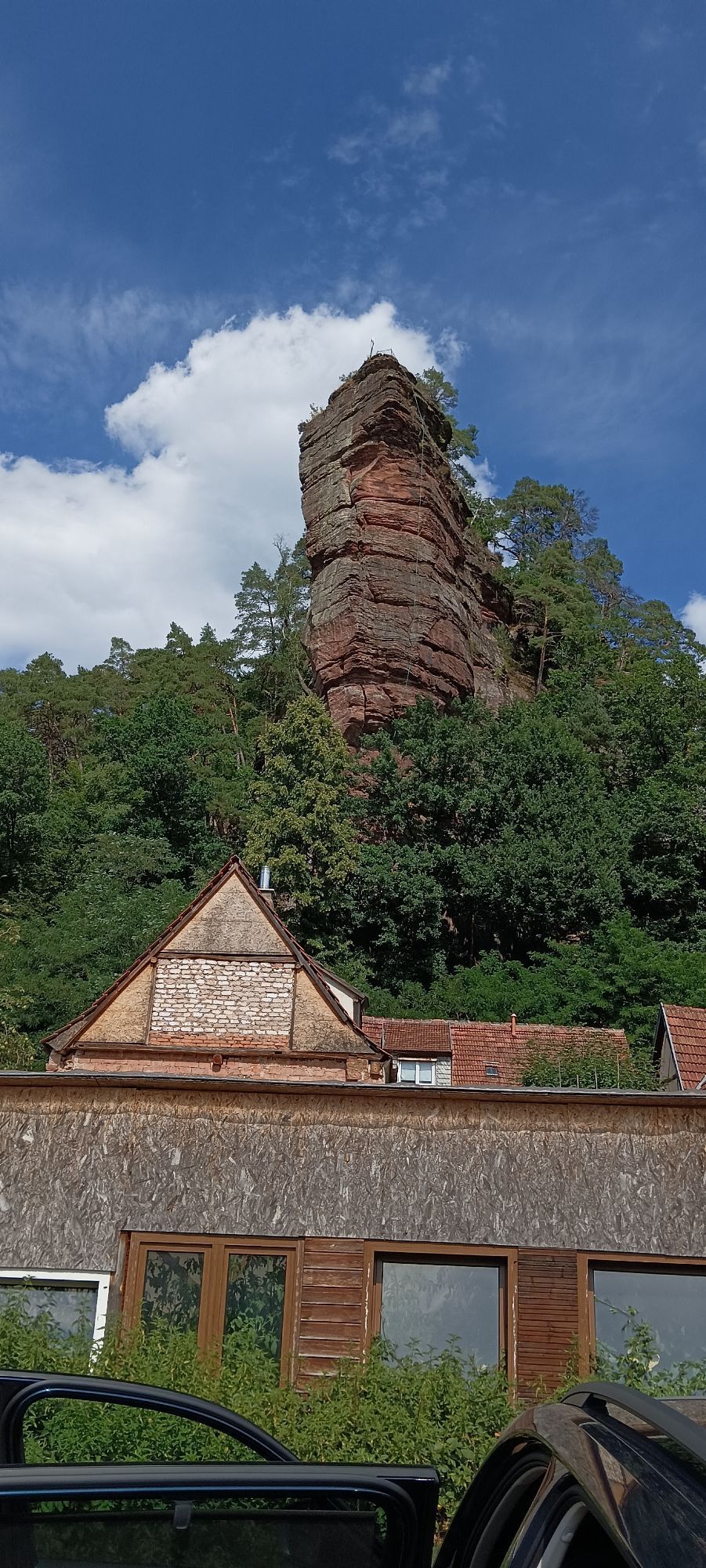
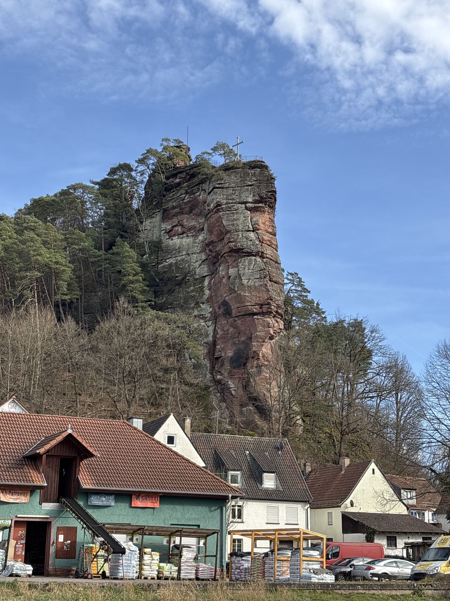
Dahn - Protestantische Pfarrkirche Dahn - Katholische Pfarrkirche St. Laurentius Dahn - Église Saint-André
heavy
Navigace na stránkách
Navigace na stránkách
Pořiďte si tuto prohlídku do mobilního telefonu
Dahn - Protestantische Pfarrkirche Dahn - Katholische Pfarrkirche St. Laurentius Dahn - Église Saint-André
heavy
Silniční kolo
49.88
km
Naskenujte QR kód a spusťte navigaci v aplikaci bergfex.

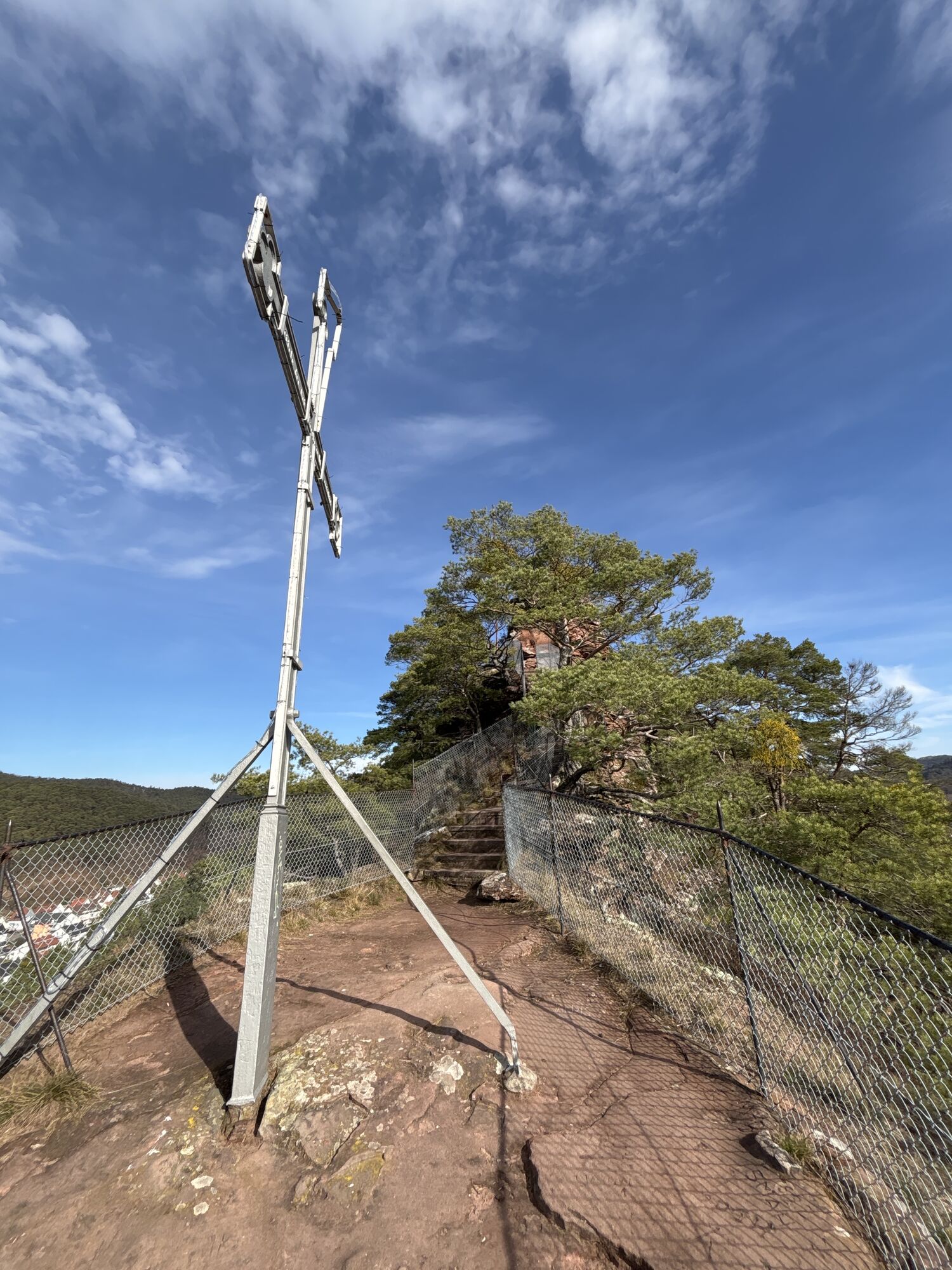
Pěší turistika a stopování


Dahn - Protestantische Pfarrkirche Dahn - Katholische Pfarrkirche St. Laurentius Dahn - Église Saint-André
heavy
Vzdálenost
49.88
km
Doba trvání
02:44
h
Ascent
1144
hm
Hladina moře
156 -
226
m
Stažení skladby
Dahn - Protestantische Pfarrkirche Dahn - Katholische Pfarrkirche St. Laurentius Dahn - Église Saint-André
heavy
Silniční kolo
49.88
km

Trasa
Katholische Pfarrkirche St. Laurentius Dahn
(211 m)
Místo konání bohoslužeb
0.8 km
Reichenbach
(200 m)
Vesnice
3.4 km
Bruchweiler-Bärenbach
(197 m)
Vesnice
6.6 km
Bobenthal
(186 m)
Vesnice
15.1 km
Église Saint-André
(171 m)
Místo konání bohoslužeb
21.0 km
Église Saint-André
(171 m)
Místo konání bohoslužeb
28.2 km
Katholische Pfarrkirche St. Laurentius Dahn
(211 m)
Místo konání bohoslužeb
49.1 km
Trasa
Dahn - Protestantische Pfarrkirche Dahn - Katholische Pfarrkirche St. Laurentius Dahn - Église Saint-André
heavy
Silniční kolo
49.88
km
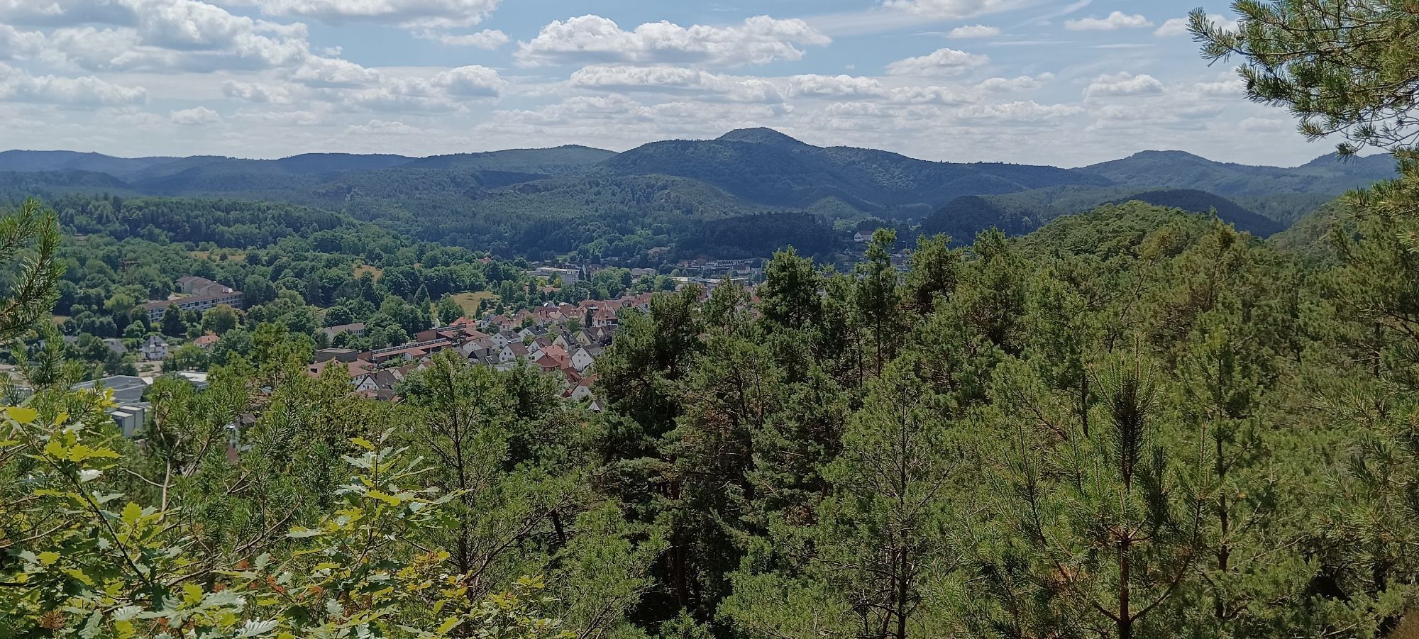
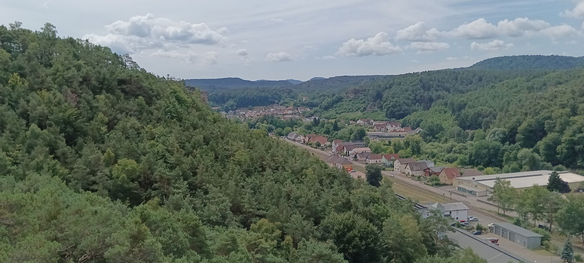
Dahn
(207 m)
Železniční stanice
0.0 km
Protestantische Pfarrkirche Dahn
(214 m)
Místo konání bohoslužeb
0.6 km
Katholische Pfarrkirche St. Laurentius Dahn
(211 m)
Místo konání bohoslužeb
0.8 km
Dahn
(211 m)
Město
1.0 km
Im Böhl
(212 m)
Koridor/terén
1.8 km
Altes Bahnhöfl
(204 m)
Restaurace
3.2 km
Busenberg-Schindhard
(204 m)
Železniční stanice
3.2 km
Reichenbach
(200 m)
Vesnice
3.4 km
Bier- und Weinstube am Kirchberg
(202 m)
Restaurace
6.3 km
Bruchweiler-Bärenbach
(197 m)
Vesnice
6.6 km
Bundenthal-Rumbach
(194 m)
Železniční stanice
7.8 km
Landgasthof Wieslautertal
(199 m)
Restaurace
8.0 km
Maranello Pizza e Pasta
(199 m)
Restaurace
8.6 km
Bundenthal
(198 m)
Vesnice
8.6 km
Krone
(197 m)
Restaurace
8.9 km
Niederschlettenbach
(190 m)
Vesnice
12.2 km
Bobenthal
(186 m)
Vesnice
15.1 km
Landgasthof Zur Mühle
(183 m)
Restaurace
15.4 km
Sankt Germanshof
(178 m)
Vypořádání
20.0 km
Église Saint-André
(171 m)
Místo konání bohoslužeb
21.0 km
Welschdorf Bleich
(171 m)
Koridor/terén
21.1 km
Weiler
(174 m)
Vypořádání
21.5 km
Le Schlupf
(157 m)
Úhel pohledu
24.8 km
Wissembourg
(157 m)
Město
24.9 km
Weiler
(174 m)
Vypořádání
27.7 km
Welschdorf Bleich
(171 m)
Koridor/terén
28.1 km
Église Saint-André
(171 m)
Místo konání bohoslužeb
28.2 km
Sankt Germanshof
(178 m)
Vypořádání
29.1 km
Landgasthof Zur Mühle
(183 m)
Restaurace
33.8 km
Bobenthal
(186 m)
Vesnice
34.1 km
Niederschlettenbach
(190 m)
Vesnice
36.9 km
Krone
(197 m)
Restaurace
40.5 km
Bundenthal
(198 m)
Vesnice
40.7 km
Falkenmühle
(193 m)
Restaurace
41.0 km
Landgasthof Wieslautertal
(199 m)
Restaurace
41.8 km
Bundenthal-Rumbach
(194 m)
Železniční stanice
41.9 km
Bruchweiler-Bärenbach
(197 m)
Vesnice
43.2 km
Bier- und Weinstube am Kirchberg
(202 m)
Restaurace
43.5 km
Reichenbach
(200 m)
Vesnice
46.4 km
Busenberg-Schindhard
(204 m)
Železniční stanice
46.6 km
Altes Bahnhöfl
(204 m)
Restaurace
46.6 km
Im Böhl
(212 m)
Koridor/terén
48.0 km
Dahn
(211 m)
Město
48.9 km
Katholische Pfarrkirche St. Laurentius Dahn
(211 m)
Místo konání bohoslužeb
49.1 km
Protestantische Pfarrkirche Dahn
(214 m)
Místo konání bohoslužeb
49.2 km
Dahn
(207 m)
Železniční stanice
49.8 km
Zatím žádné recenze
Oblíbené prohlídky v okolí
-
4.8
Dahner Felsenpfad
středníTuristika 13.2 km -
4.8
Lemberg - Salzwoog - Schwamborn-Quelle - Teufelstisch
středníTuristika 11.9 km -
4.8
Napoleon-Steig
středníTuristika 12.3 km -
4.8
Wasigenstein und Zigeunerfelsen von Obersteinbach
Turistika 10.6 km -
4.5
Schusterpfad
středníTuristika 16.4 km -
3.7
Dahn - Lachberg - Vogelsberg
středníTuristika 18.7 km -
4.5
Eyberg-Tour (Variante)
středníTuristika 11.4 km -
4.5
Northern Vosges - Circuit of the 4 castles
středníTuristika 6.49 km -
4.5
Palatinate Wine Trail stage 11 Bad Bergzabern - Schweigen-Rechtenbach
střednídálková pěší trasa 15.8 km -
4.5
Erfweiler - Hahnberg - Kahlenberg - Schindhard
středníTuristika 14.6 km

Pěší turistika a stopování

Více než 550.000 návrhů výletů, podrobné mapy a intuitivní plánovač tras dělají z aplikace nezbytnou výbavu pro všechny milovníky přírody.

Nenechte si ujít nabídky a inspiraci pro vaši příští dovolenou
Přihlaste se k odběru newsletteru
Chyba
Došlo k chybě. Zkuste to prosím znovu.
Děkujeme za vaši registraci
Vaše e-mailová adresa byl přidán do poštovního seznamu.
Zájezdy po celé Evropě
Rakousko
Švýcarsko
Německo
Itálie
Slovenia
Francie
Nizozemsko
Belgie
Polsko
Lichtenštejnsko
Česko
Slovensko
Španělsko
Chorvatsko
Bosna a Hercegovina
Lucembursko
Andorra
Portugal
Iceland
United Kingdom
Ireland
Greece
Albania
North Macedonia
Malta
Norway
Montenegro
Moldova
Kosovo
Hungary
San Marino
Romania
Estonia
Latvia
Belarus
Cyprus
Lithuania
Serbia
Bulgaria
Monaco
Denmark
Sweden
Finland