




Lahnradweg upstream

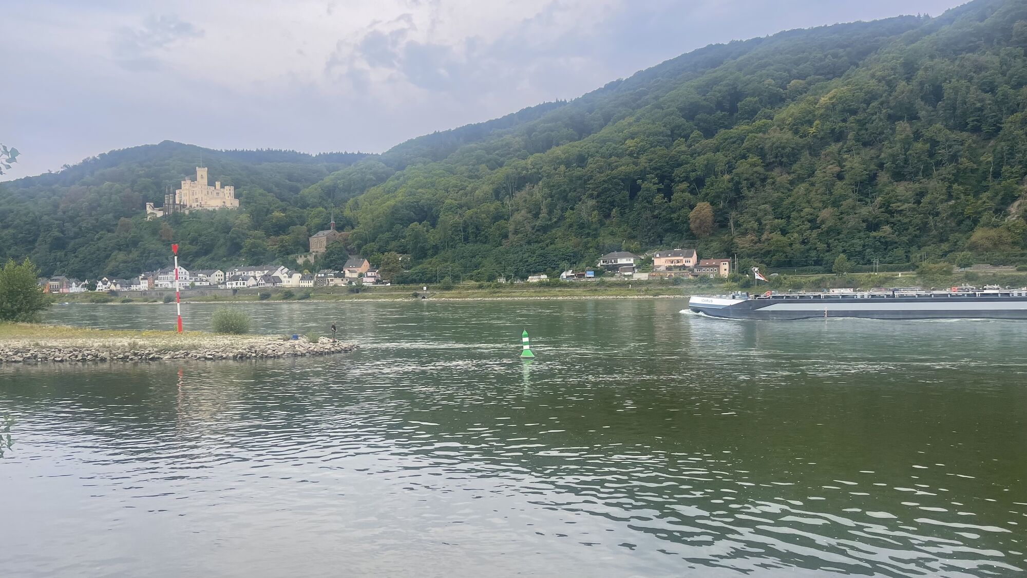
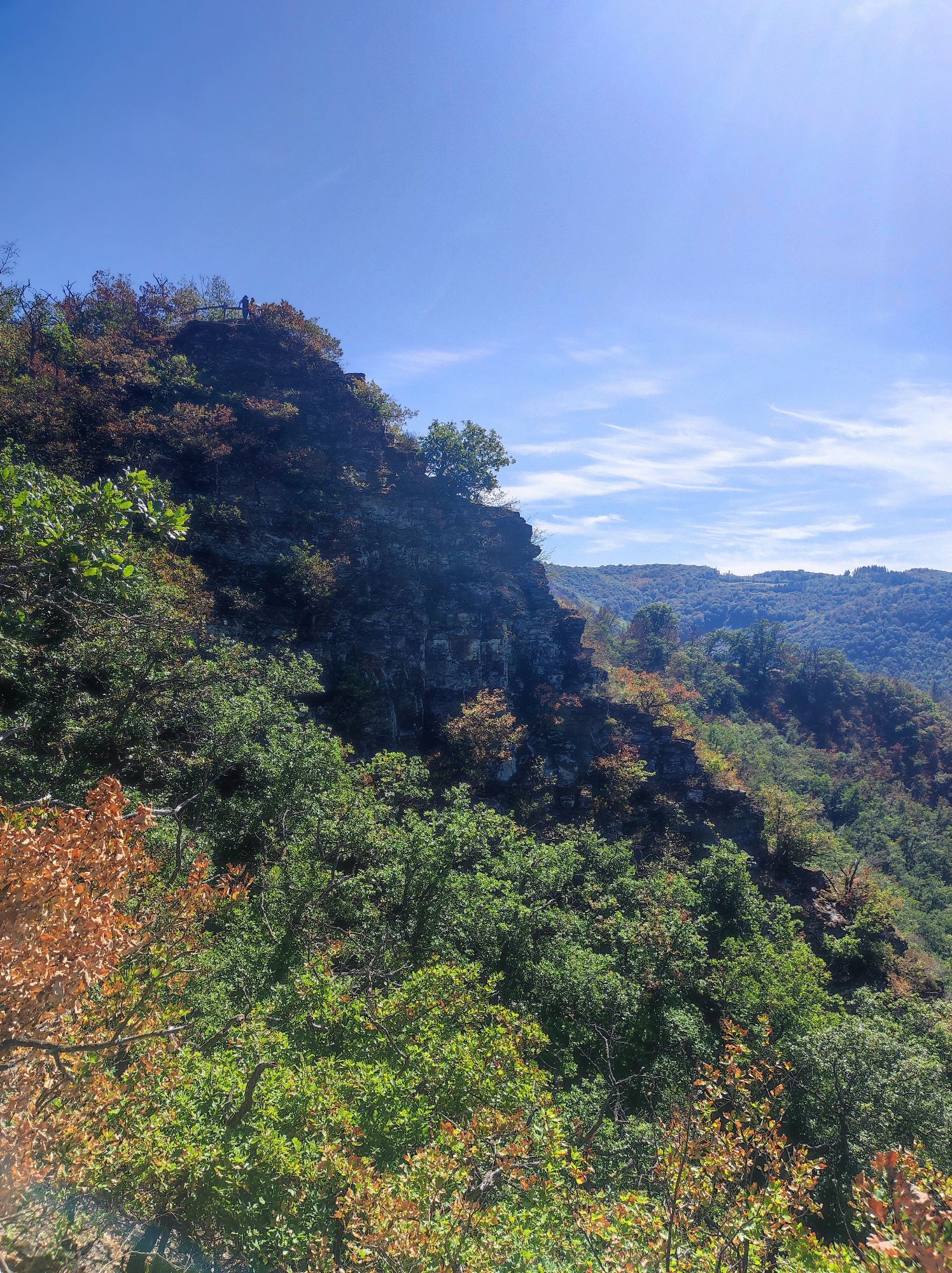
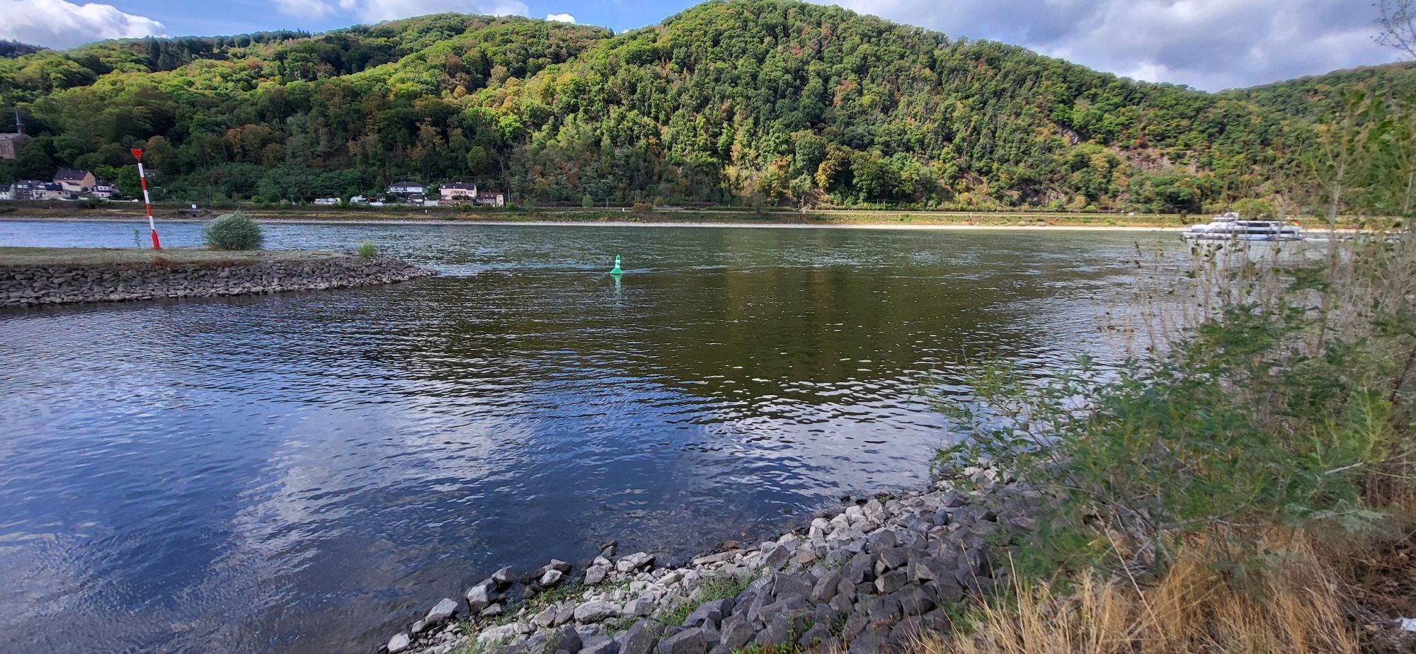
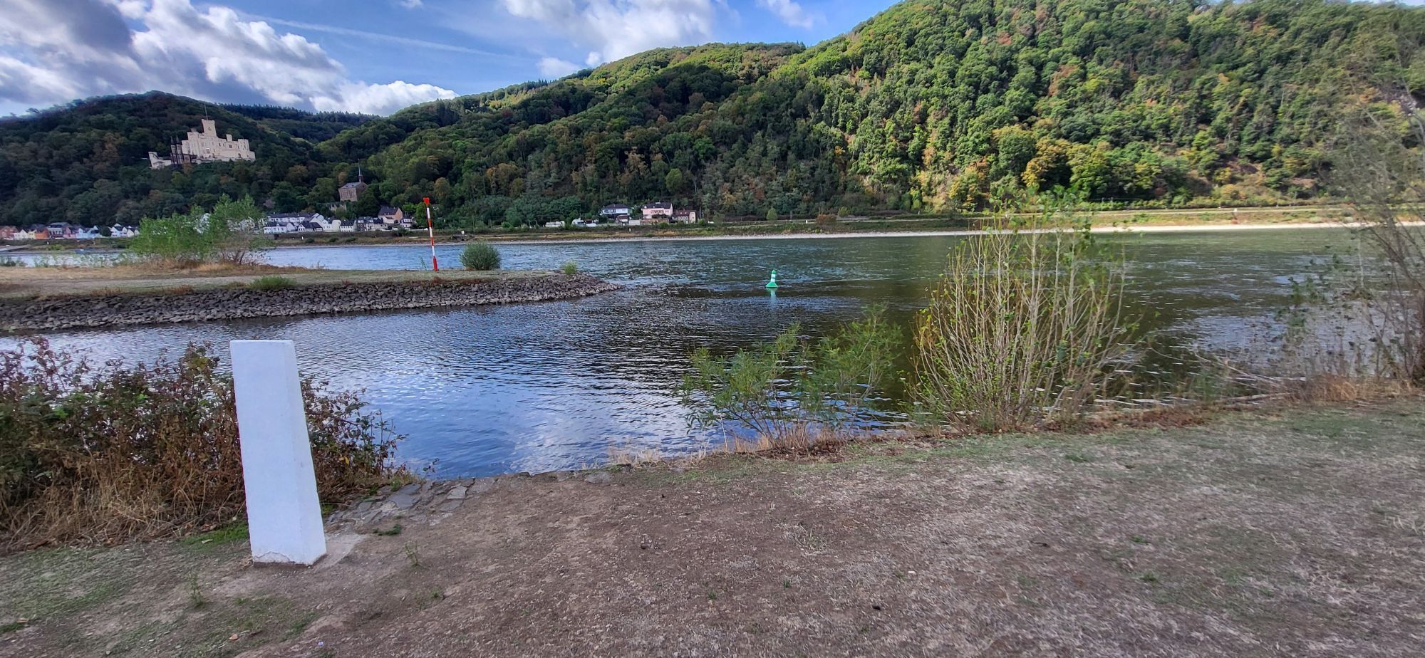
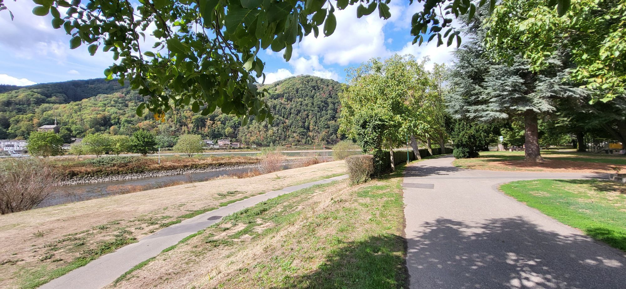
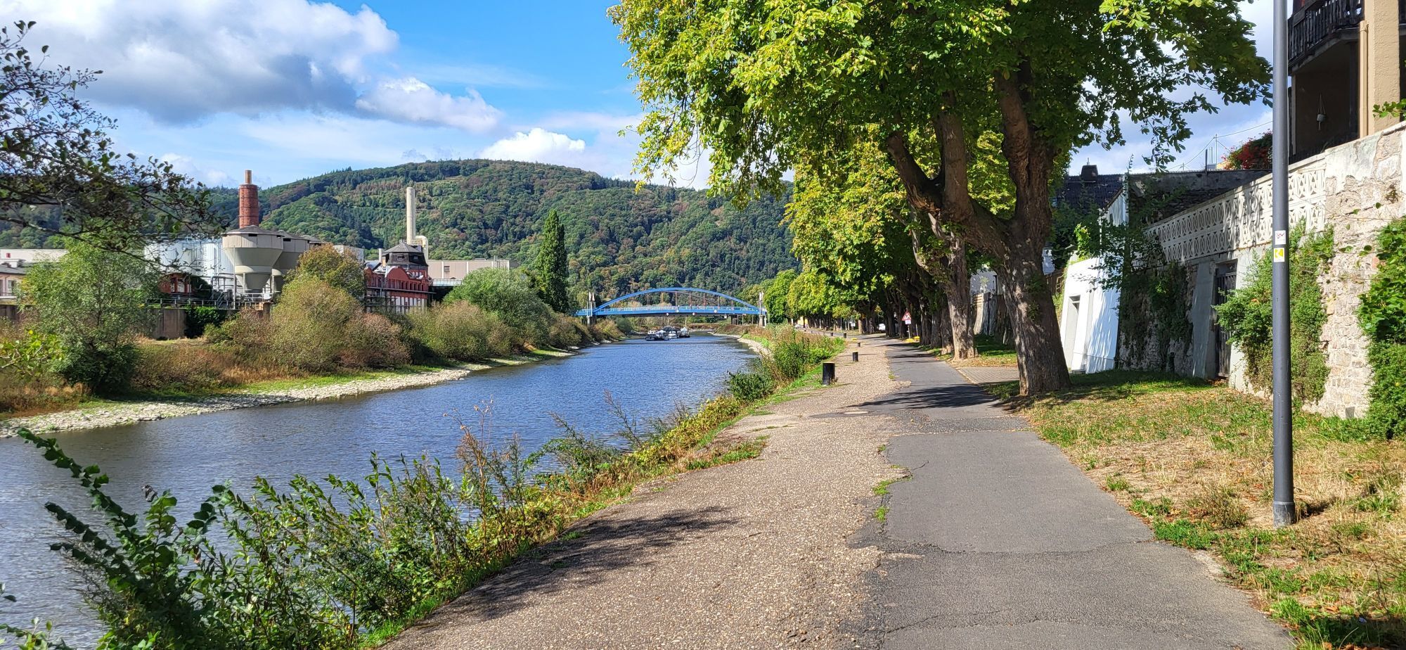
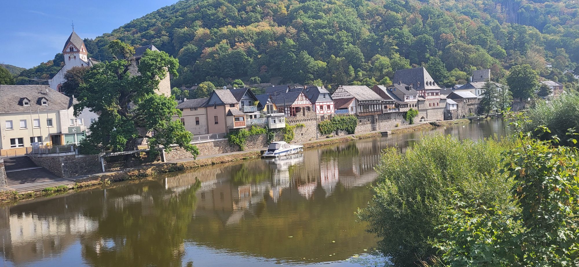
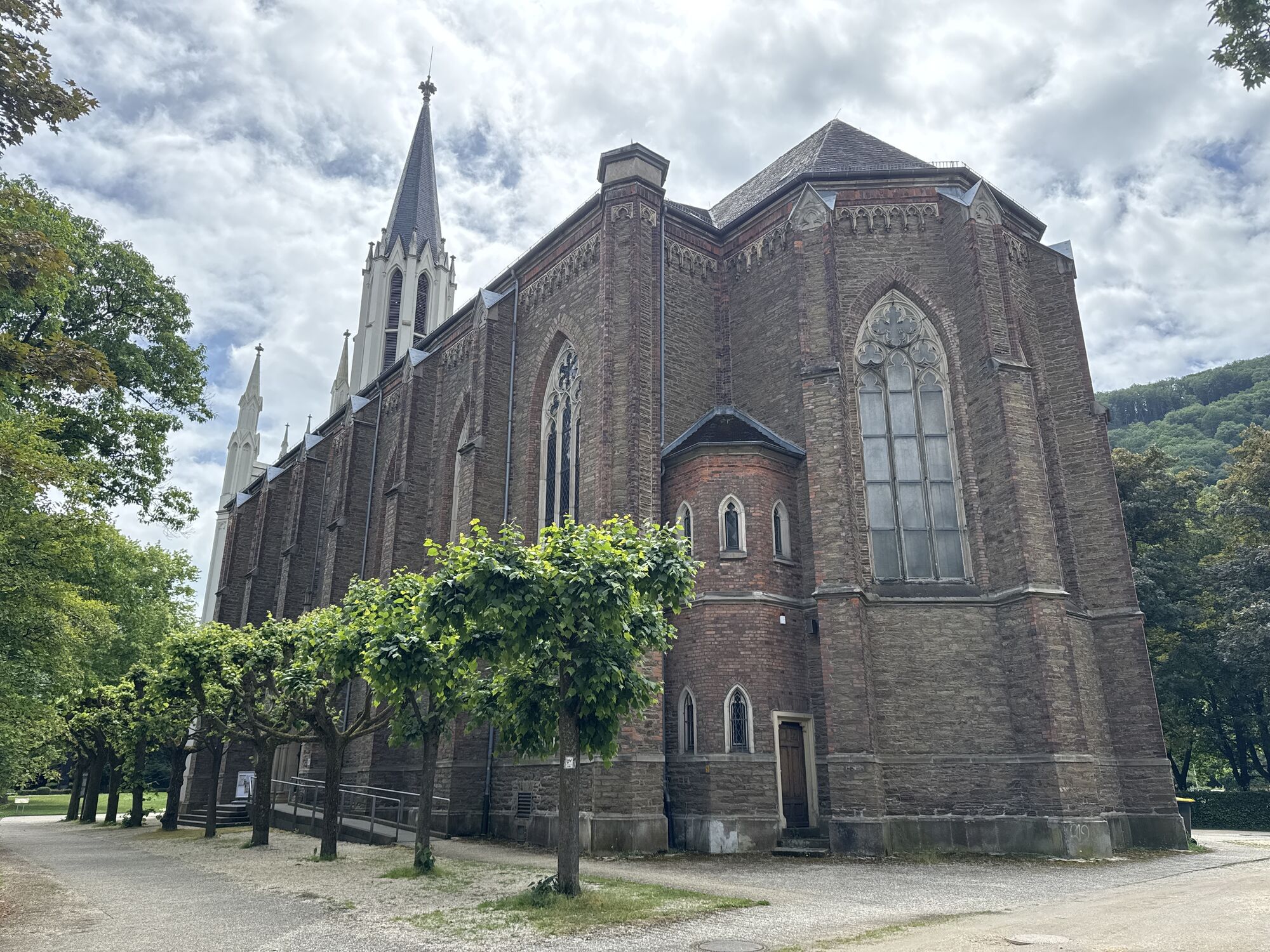

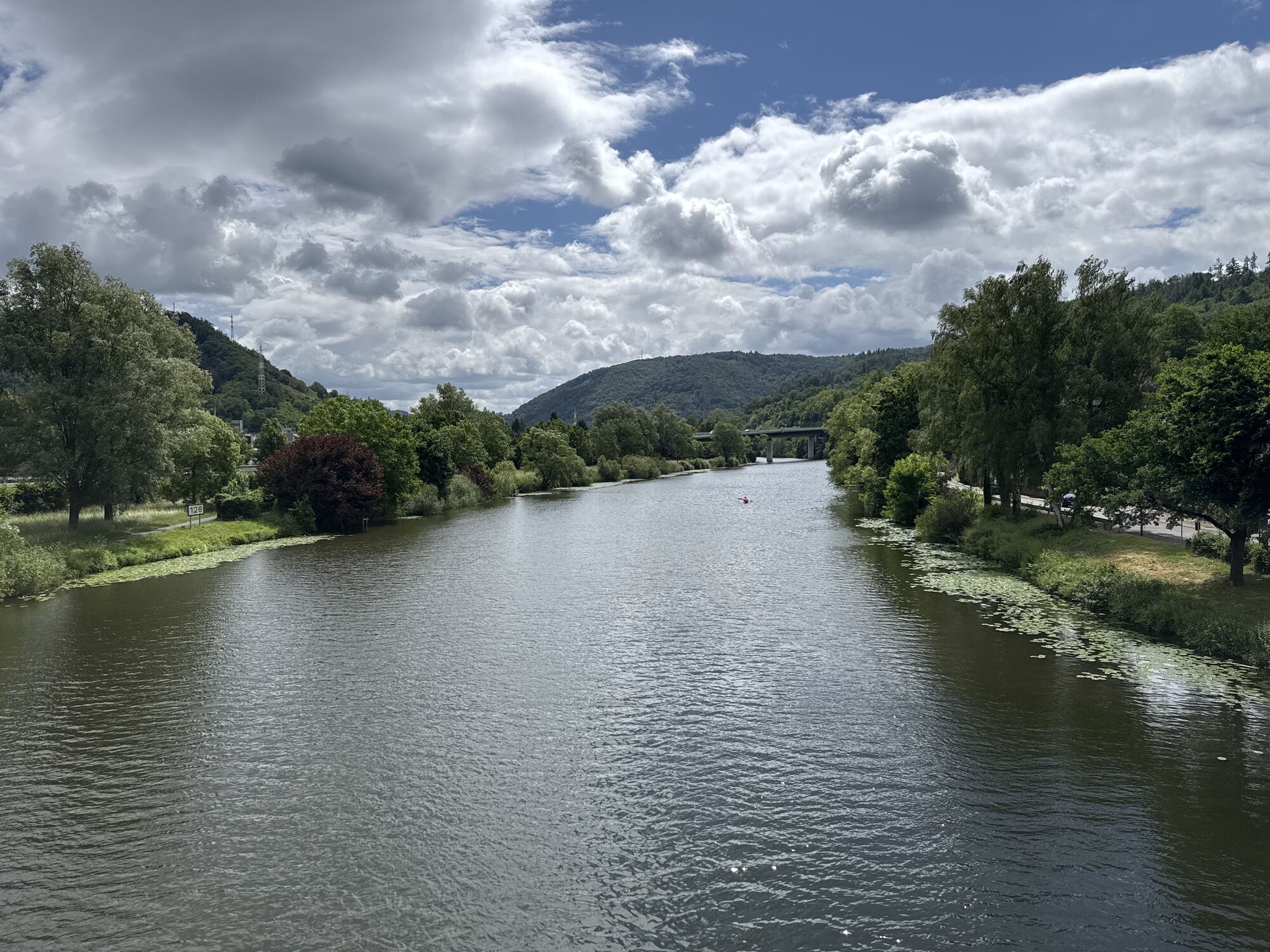
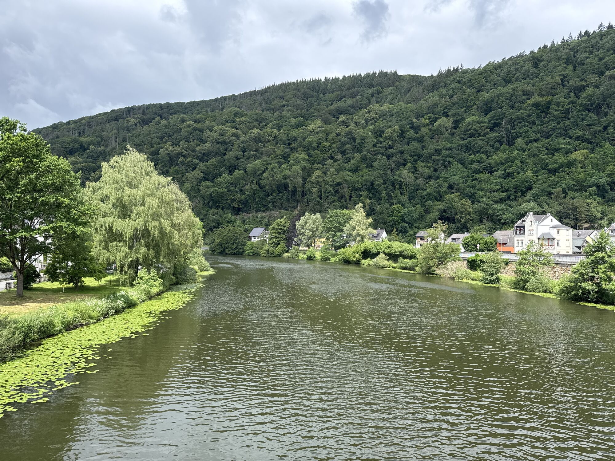
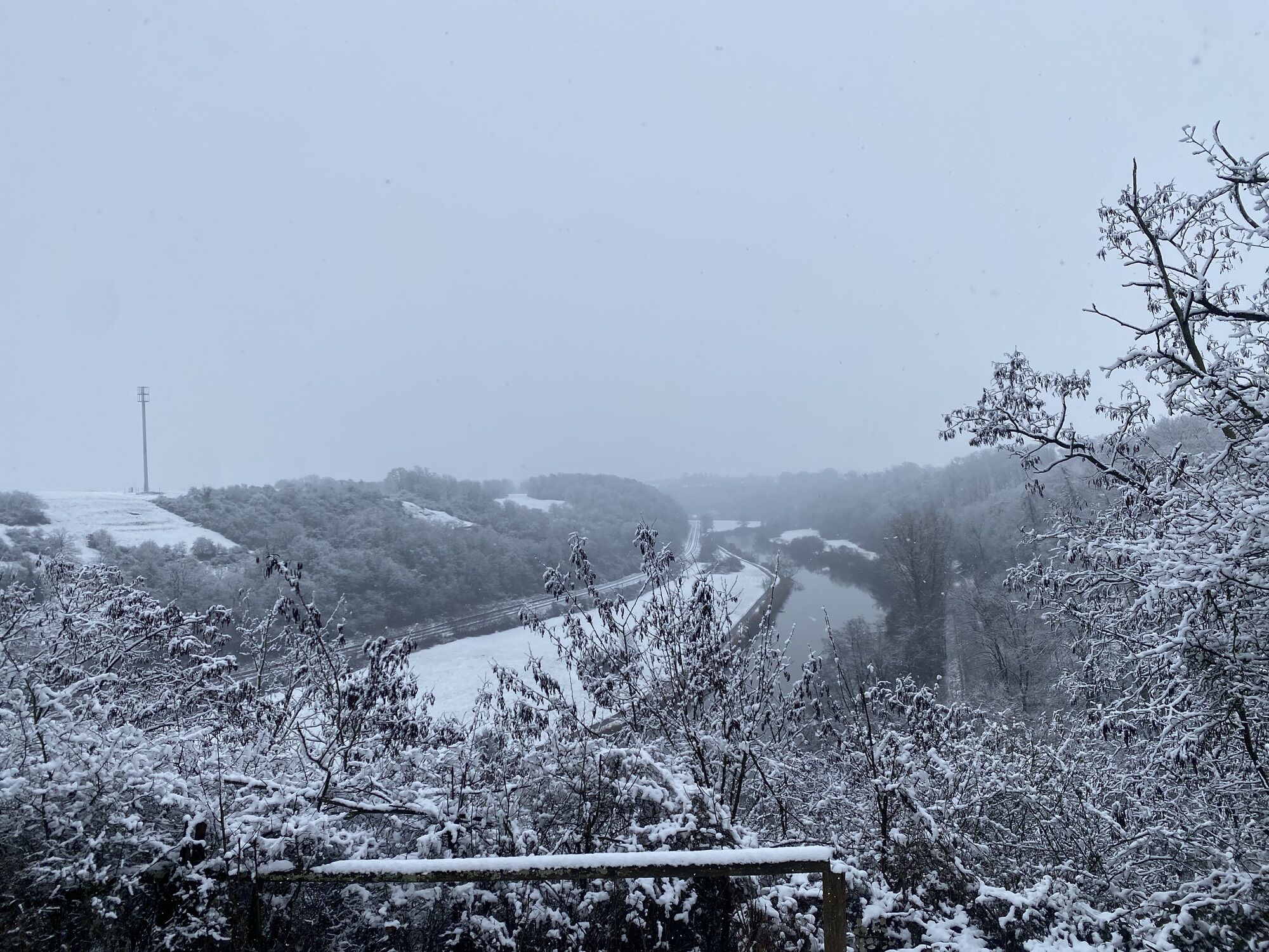
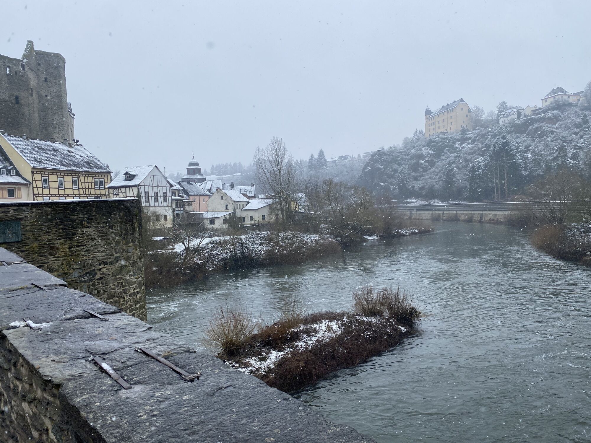
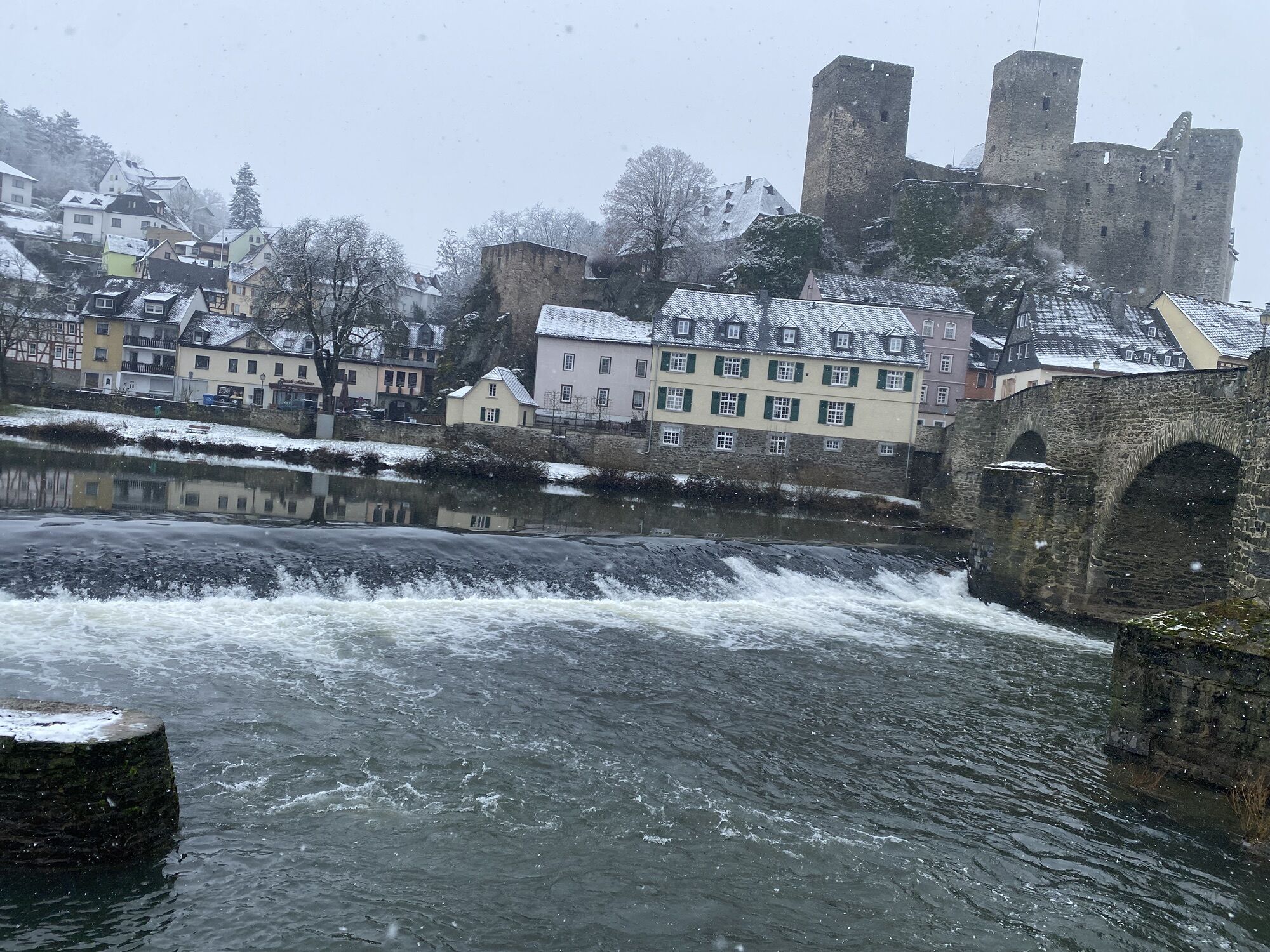
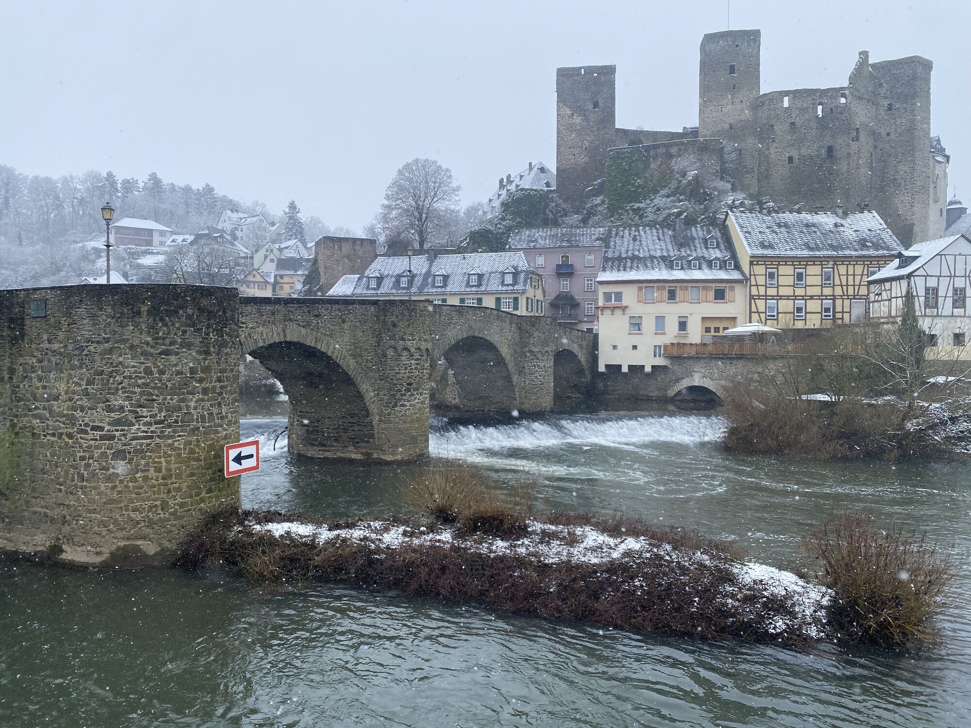
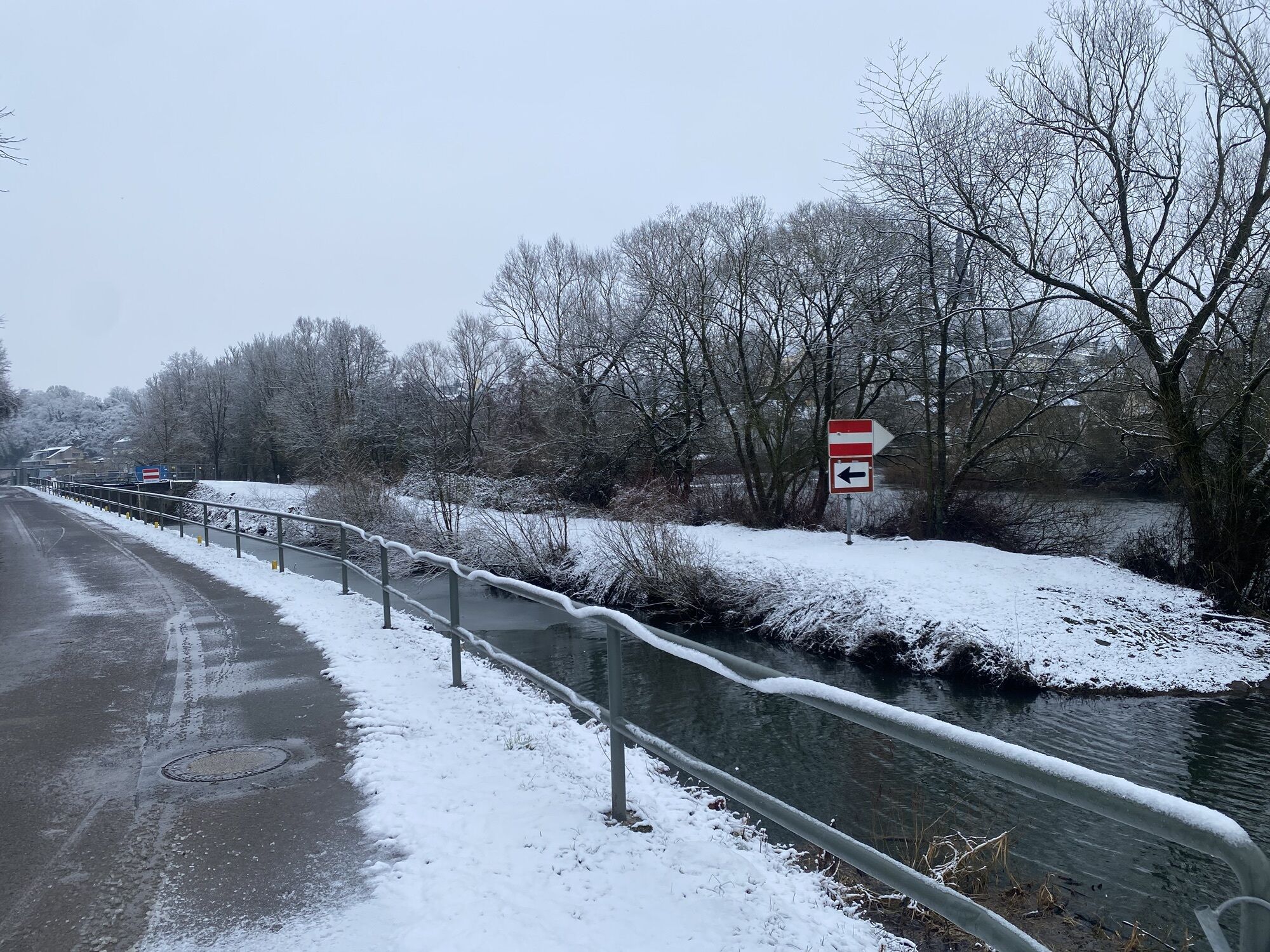
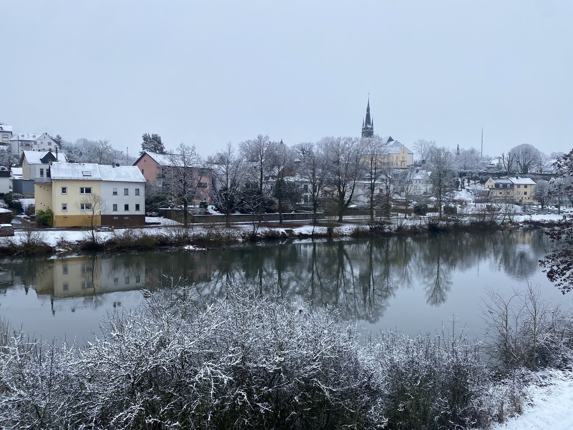
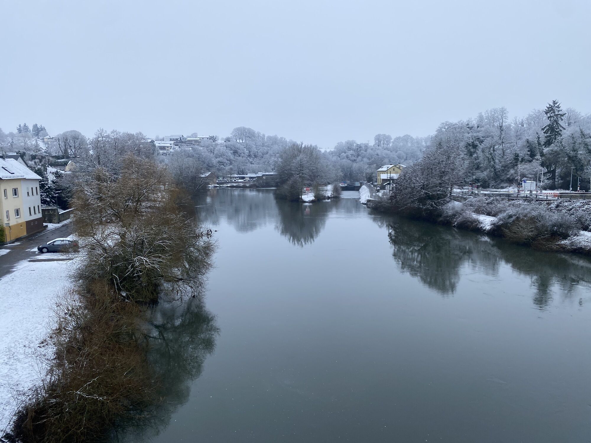
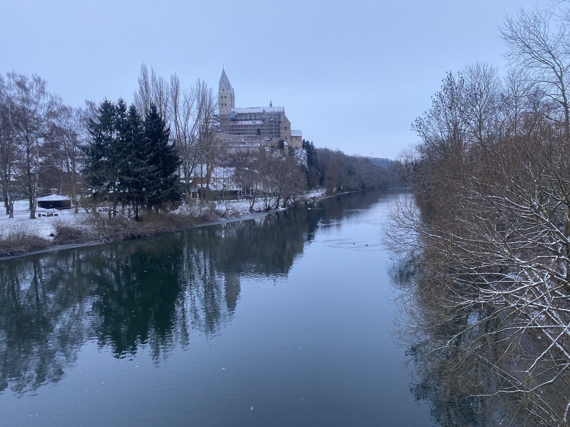
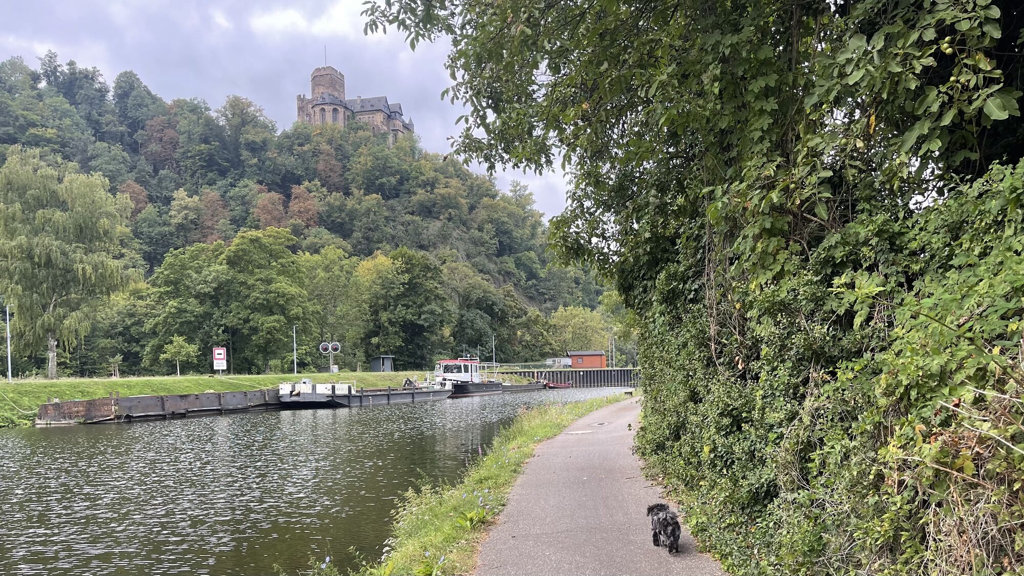
From its source at the Lahnhof near Feudingen to its mouth in Lahnstein, the Lahn flows through a variety of landscapes. The nature at the source and in the upper Lahntal valley is enchanting. In the middle...
From its source at the Lahnhof near Feudingen to its mouth in Lahnstein, the Lahn flows through a variety of landscapes. The nature at the source and in the upper Lahntal valley is enchanting. In the middle Lahn Valley, the expanse of floodplain landscapes is a delight, while the wild and romantic lower Lahn Valley, where the river meanders deep between towering cliffs, has its own fans.
Away from car traffic and the hustle and bustle, the Lahn Cycle Path, which has been awarded 3 stars by the ADFC, allows you to enjoy the Lahn Valley, mainly on tarmac paths and mostly directly along the river. In any case, you should plan plenty of time to linger, stop for a bite to eat and have a look round. Because along the way, noble palaces, defiant castles, lively museums, picturesque half-timbered towns and elegant health resorts invite you to stop off. The numerous riches of the Lahn Valley do not make the choice easy. In addition, there are the hospitable inns along the Lahn - which are also too good for a quick break.


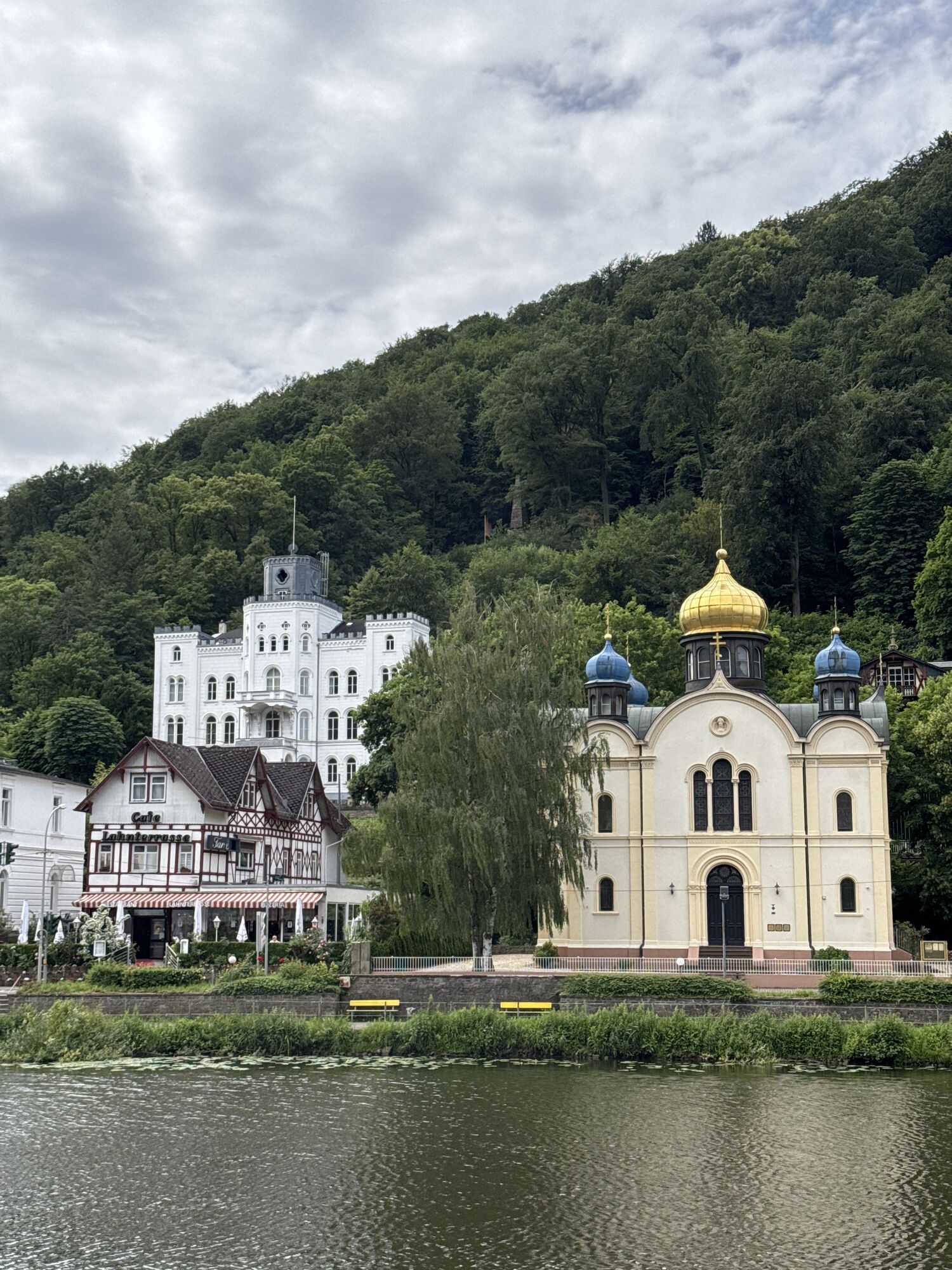
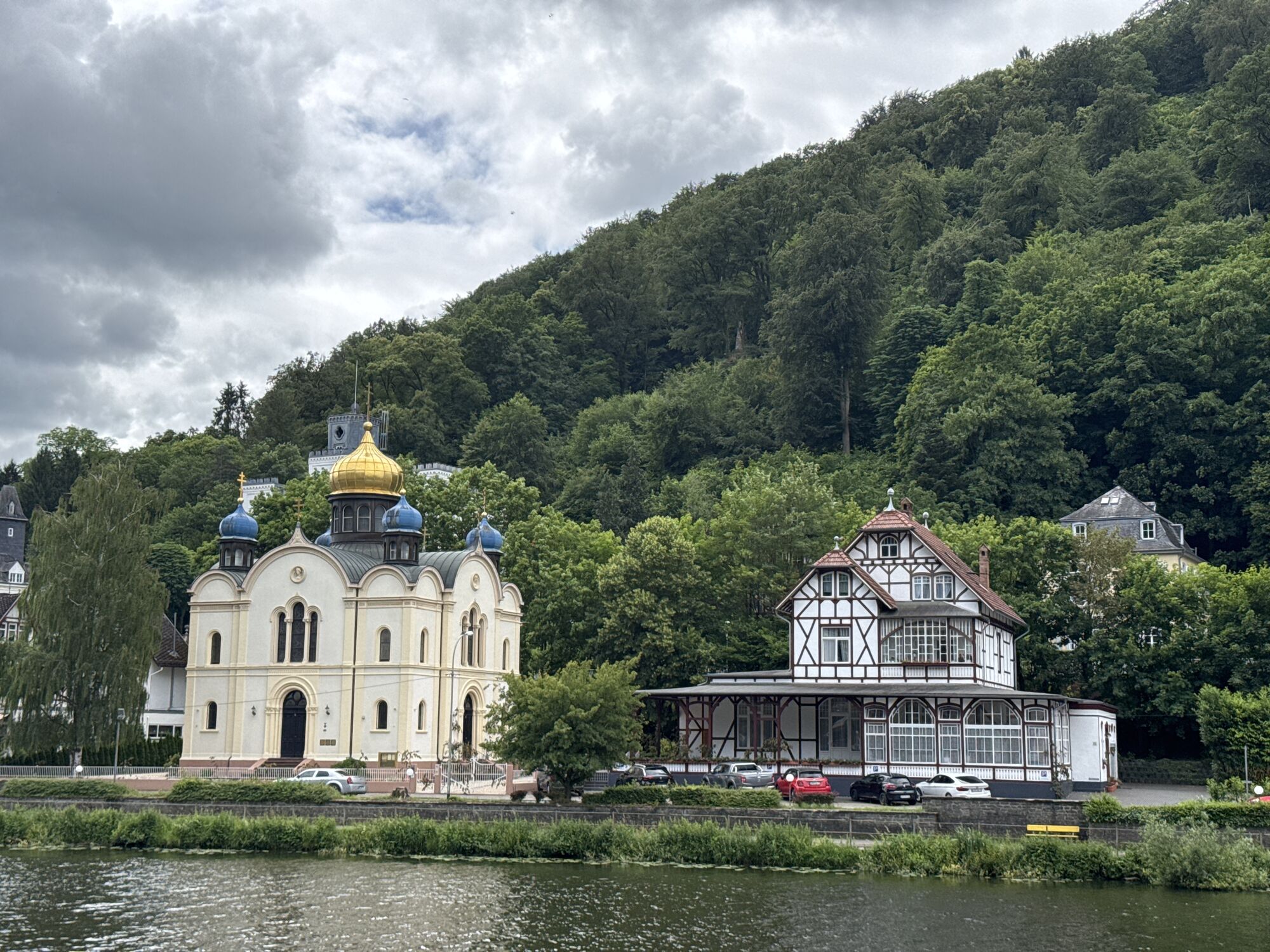
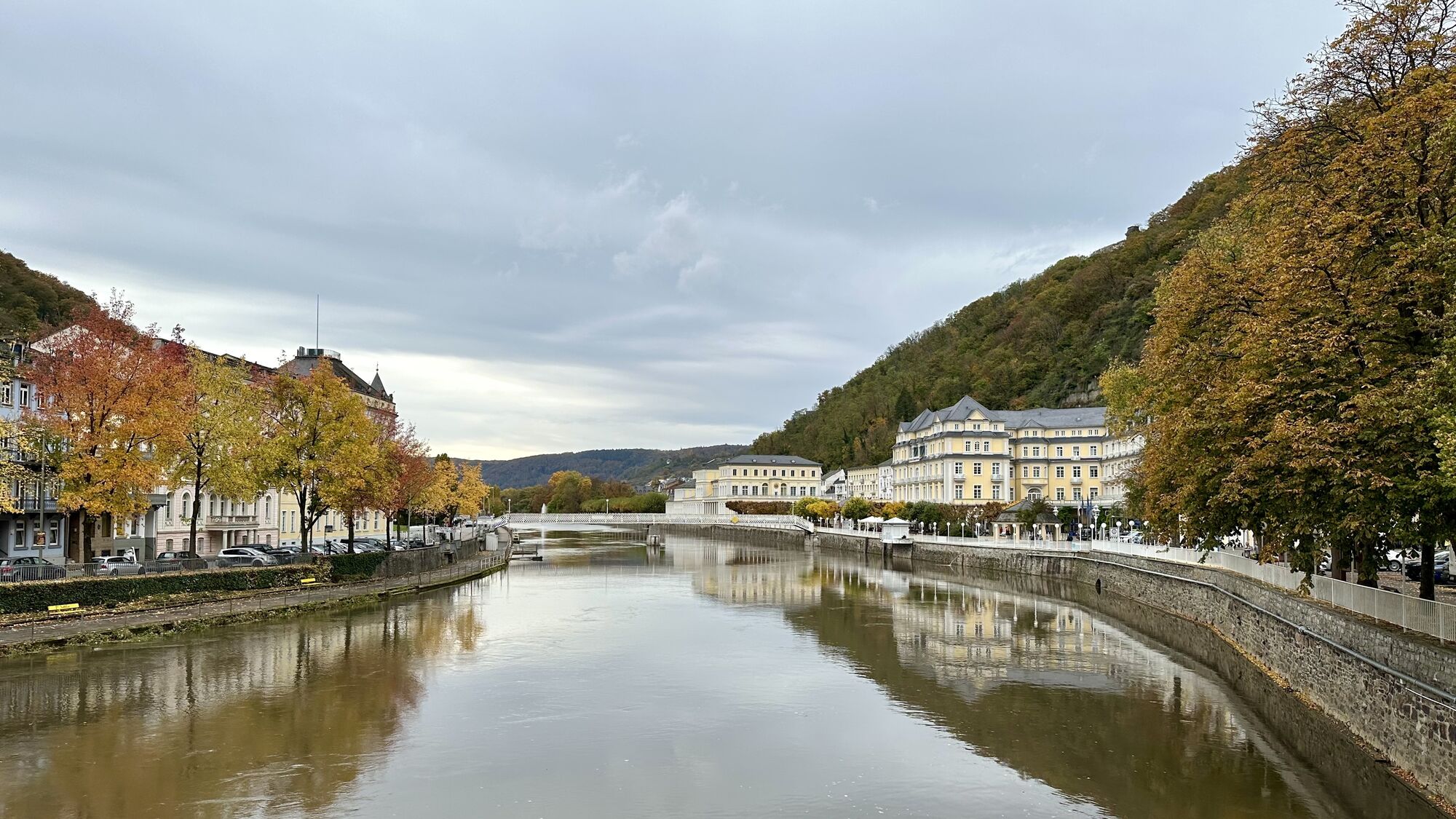
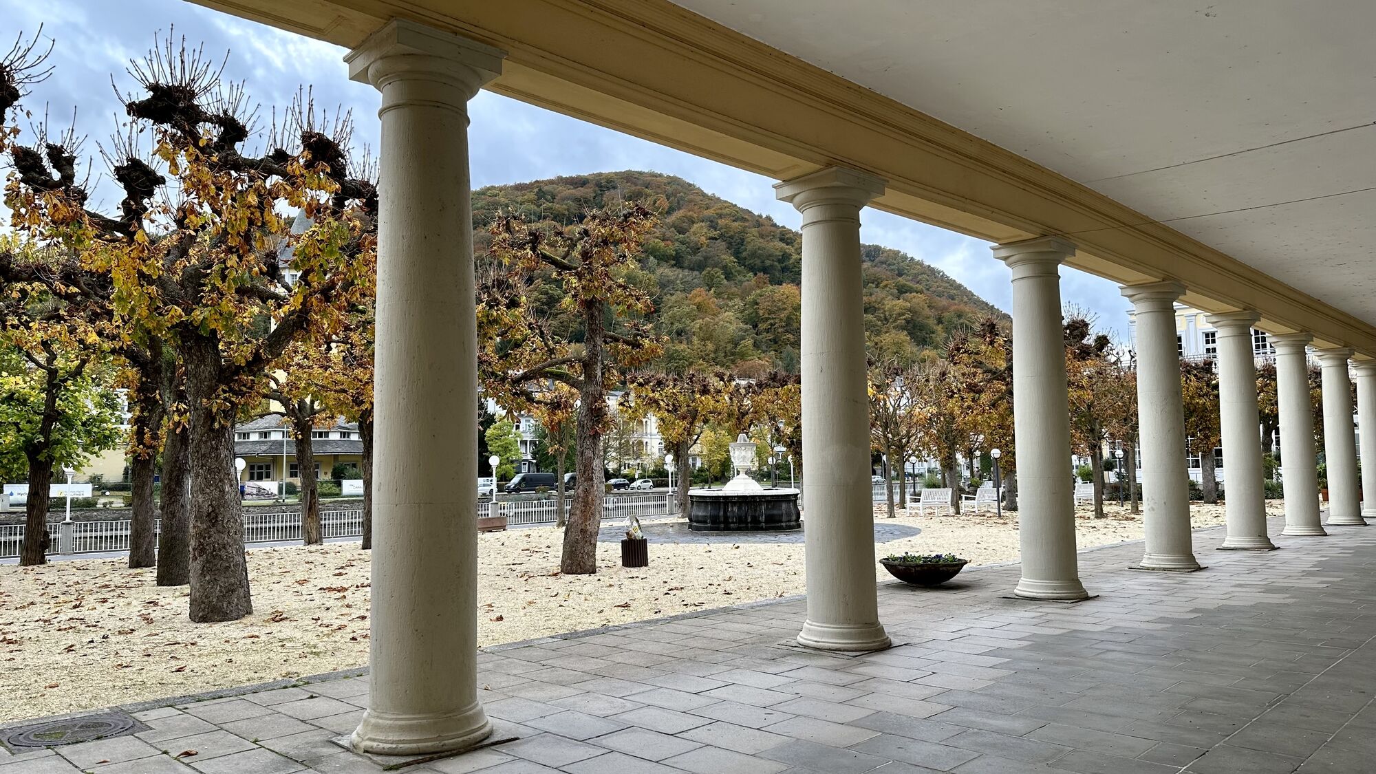
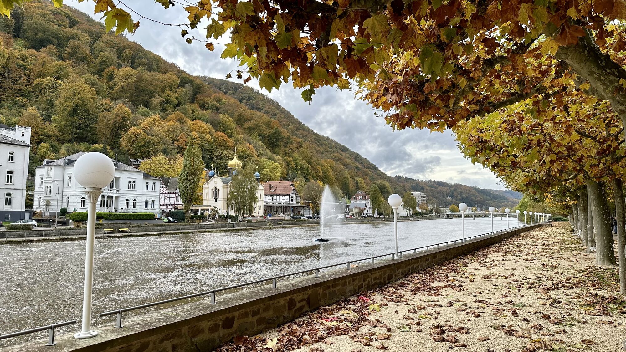
You can quickly reach the sophisticated spa town of Bad Ems. Imperial spa, summer capital of Europe, world spa - and even a UNESCO World Heritage Site since 24 July 2021! Bad Ems is proud to have received this prestigious international honour. As you stroll through the town, you quickly realise that Bad Ems, with its elegant buildings, is deservedly one of the "Great Spas of Europe".
Via Dausenau, whose medieval town centre with its town wall and leaning tower lies on the opposite side of the Lahn, the Lahn Cycle Path now continues through the nature park to Nassau with Nassau-Oranien Castle perched high on the hill. Here, too, it is worth taking an enjoyable break in one of the lovely cafés in the lively town centre. The route continues to Obernhof, always touching the River Lahn. A place with a long wine-growing tradition. This tradition has recently experienced a real renaissance with the Bürgerweinberg vineyard. A bottle of Riesling or Pinot Noir will certainly fit in your pannier.
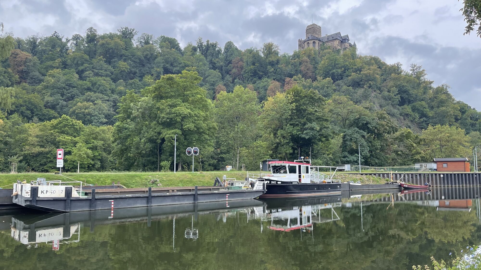
Picturesque is probably the apt description for the landscape through which you roll on. The Lahn meanders through wooded slopes and glistens in the sunlight. Via Laurenburg, the route then continues in a relaxed manner over two newly built cycle and pedestrian bridges, always touching the Lahn, via Geilnau to Balduinstein, which provides a fitting backdrop.
In the Oranierstadt Diez you will find two castles worth seeing, Oranienstein Castle and the Count's Castle, both of which also house museums. After the picturesque little town, you leave Rhineland-Palatinate and cycle through Hesse. The cathedral city of Limburg is our first stop here. In Limburg, you should leave the Lahn for a short stroll through the town. In the medieval old town with its numerous lovingly restored half-timbered houses, small shops, cafés and restaurants invite you to linger. The cathedral is a must-see, also from the inside of course, and the "Römer 2-4-6" in Limburg is one of the oldest free-standing half-timbered houses in Germany.
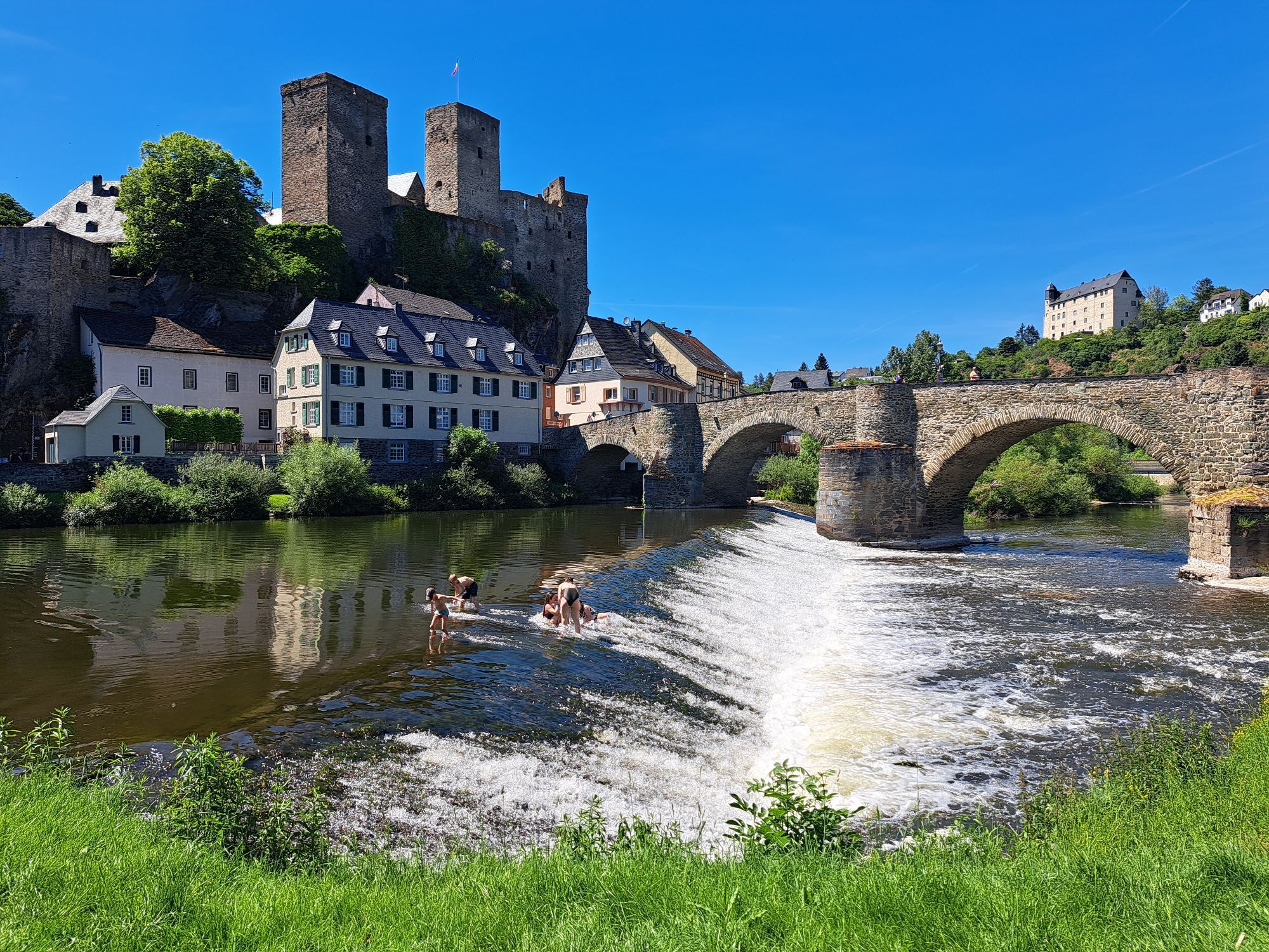
You leave Limburg via the old Lahn bridge, gliding tranquilly through pure nature and admiring gems such as Runkel and Villmar. From the mouth of the river to Weilburg the Lahn and therefore also the Lahn Cycle Path make numerous twists and turns. This is probably what makes the lower and middle Lahn valley so attractive. Here you have the feeling of being secluded from the world. And behind the next bend, the next postcard view is already waiting.
Weilburg has a lot to offer. The baroque palace complex of the residential town is definitely worth a visit. You should also take a look at the oldest and longest ship tunnel still in use today. Via Löhnberg, Leun and Solms, you cycle on comfortably and without any noticeable inclines to Wetzlar. If you have time for a break, stop off at one of the many restaurants and cafés in the old town or simply enjoy the sun in one of the relaxing green spaces in the city of Goethe and optics. Through wide, green meadows and past idyllic small lakes, you now reach Giessen, where highlights such as the Lahnfenster Hessen through which the underwater world of the Lahn can be explored, as well as the new castle, the armoury and the botanical garden. You can join in and experiment at the Mathematikum Museum. Numerous places to stay and eat as well as the good railway connections make Giessena popular stage stop on the Lahn Cycle Path.
From Giessen, you cycle past the Giessen Weststadt nature observation platform into Gleiberger Land, which is characterised by the striking castle ruins of Gleiberg and Vetzberg. Near Wettenberg-Wißmar , the Wood + Technology Museum invites you to an informative and exciting visit. Lollar, Ruttershausen, Odenhausen and Niederweimar are the next towns on the way to Marburg. The university town undoubtedly sets cultural and historical highlights with the ensemble of its old town and the castle. You cycle along the Lahn in a relaxed manner, still without much effort. Through wide meadows and fields, past inviting towns such as Cölbe, Lahntal, Caldern and Buchenau, you reach Biedenkopf.
Here, it is worth taking a trip to the Landgrave's Castle, which towers high above the town and can be seen from afar. Bad Laasphe, located on the south side of the Rothaargebirge mountains , soon awaits with its old town and pretty half-timbered façades. From Bad Laasphe onwards, the route becomes much more athletic, as the source of the Lahn at the Lahnhof lies at an altitude of over 600 metres above sea level. NN. The evening sun is reflected glisteningly in the small spring pond of the Lahn. So this is where the Lahn comes from.
Waymarking
The Lahn Cycle Path is marked throughout with its own square logo and signposted in accordance with the ADFC marking specifications. Each turn-off has a fully-fledged signpost. These are red in North Rhine-Westphalia and green elsewhere.
Lahnradweg - From the source to the Rhine Scale 1:50,000 - bikeline Verlag Esterbauer - 15th revised edition 2021 ISBN 978-3-85000-984-3 - 14,90 €
ADFC regional map Lahntal scale 1:75,000 - BVA BikeMedia GmbH - 4th edition 2021 ISBN 978-3-96990-027-7 - 9,95 €
Trekking or touring bike (e-bike or conventional), spare inner tube and tools, water bottle and clothing suitable for the weather.
Here you will find our information on step-free changing at Koblenz, Limburg, Giessen and Marburg railway stations
A3 or A61 plus A48 and B42 to the mouth of the Lahn in Niederlahnstein
A3 (AS Montabaur) plus B49 to Bad Ems
A3 to Limburg
A5 or A3 plus B49 to Weilburg
A5 and B3 to Marburg, Gießen, Wetzlar
A45 (AS-Siegen or AS-Olpe) to the source of the Lahn or to Feudingen
www.bahn.deor www.kurhessenbahn.de
Long-distance railway stations with ICE connections: Koblenz, Limburg-Süd, Gießen and Marburg
The Lahn Cycle Path runs through three federal states. It is therefore also in the area of three transport associations, which are responsible for local transport. From Niederlahnstein / Koblenz to Diez, you are in Rhineland-Palatinate (Rhine-Moselle transport association) and from Limburg to Biedenkopf-Wallau it runs through Hesse (Rhine-Main Transport Network) and the area from the source of the Lahn (Feudingen to Bad Laasphe-Niederlaasphe is in NRW (Zweckverband Personennahverkehr Westfalen-Süd Prices for local transport tickets within the transport associations can be found on the respective homepages. When crossing state borders or using long-distance trains, DB fares apply (www.bahn.de)
For groups of up to five people, there are various offers for longer journeys. On the one hand, within a federal state the state tickets.
For train journeys beyond a federal state, the cross-country ticket from the DB is an alternative. With this ticket, up to five people can travel on local transport throughout Germany in one day.
A note on the transfer stations for travellers with bicycles:
In Feudingen, the closest stop to the source, the platform is located directly on the station forecourt.
In Marburg Hbf and also in Gießen Hbf there are lifts on the platforms which are also suitable for bicycles. If you use the subway in Giessen, the lift at platform 11 takes you to the exit without steps.
In Wetzlar, there is a convenient ramp to the subway and lifts to the platforms, which are also suitable for bicycles.
All platforms in Limburg (Lahn) can be reached without steps via a convenient ramp. This starts at the north-east end of the platforms or next to the station building on the station forecourt.
Stepless access to the platforms is guaranteed in Balduinstein and Laurenburg as well as in Niederlahnstein and Koblenz Hbf.
You can find everything you need to know about the facilities at the stations, for example information on the various aspects of accessibility, car parks and services at the station at www.bahnhof.de
Depending on your mood and physical fitness, the Lahn Cycle Path can easily be divided into daily stages . Numerous overnight accommodation options and the good railway connections make planning very flexible.

Oblíbené prohlídky v okolí
-
Lahnwanderweg 11th stage upstream Braunfels - Wetzlar
světloTuristika 13 km -
Lahn cycle path
středníCyklistika na velkou vzdálenost 248.9 km -
Lahnwanderweg 01-19 upstream (entire route, stage hike)
střednídálková pěší trasa 294.9 km -
Lahn cycle path 5th stage Wetzlar – Weilburg
středníJízda na kole 30.8 km -
Lahnwanderweg 10th stage upstream Wetzlar - Rodheim-Bieber
středníTuristika 16.4 km -
Lahn cycle path 4th stage upstream Wetzlar - Gießen
světloJízda na kole 17.6 km -
Lahnwanderweg 12th stage Braunfels – Weilburg
středníTuristika 17.9 km -
Canoe route Lahn from Gießen to Lahnau-Dorlar
světloKajak / Kánoe 10.4 km -
Canoe tour Lahn from Lahnau-Dorlar via Wetzlar to Solms-Oberbiel
světloKajak / Kánoe 13.4 km -
Canoe tour Lahn from Solms-Oberbiel to Weilburg
světloKajak / Kánoe 20.1 km

Pěší turistika a stopování


Nenechte si ujít nabídky a inspiraci pro vaši příští dovolenou
Vaše e-mailová adresa byl přidán do poštovního seznamu.


