Häädstorze - Jägerhof - Lauterschwan - Altes Schulhaus
heavy
Navigace na stránkách
Navigace na stránkách
Pořiďte si tuto prohlídku do mobilního telefonu
Häädstorze - Jägerhof - Lauterschwan - Altes Schulhaus
heavy
Jízda na kole
25.36
km
Naskenujte QR kód a spusťte navigaci v aplikaci bergfex.

Pěší turistika a stopování


Häädstorze - Jägerhof - Lauterschwan - Altes Schulhaus
heavy
Vzdálenost
25.36
km
Doba trvání
02:25
h
Ascent
804
hm
Hladina moře
185 -
319
m
Stažení skladby
Häädstorze - Jägerhof - Lauterschwan - Altes Schulhaus
heavy
Jízda na kole
25.36
km
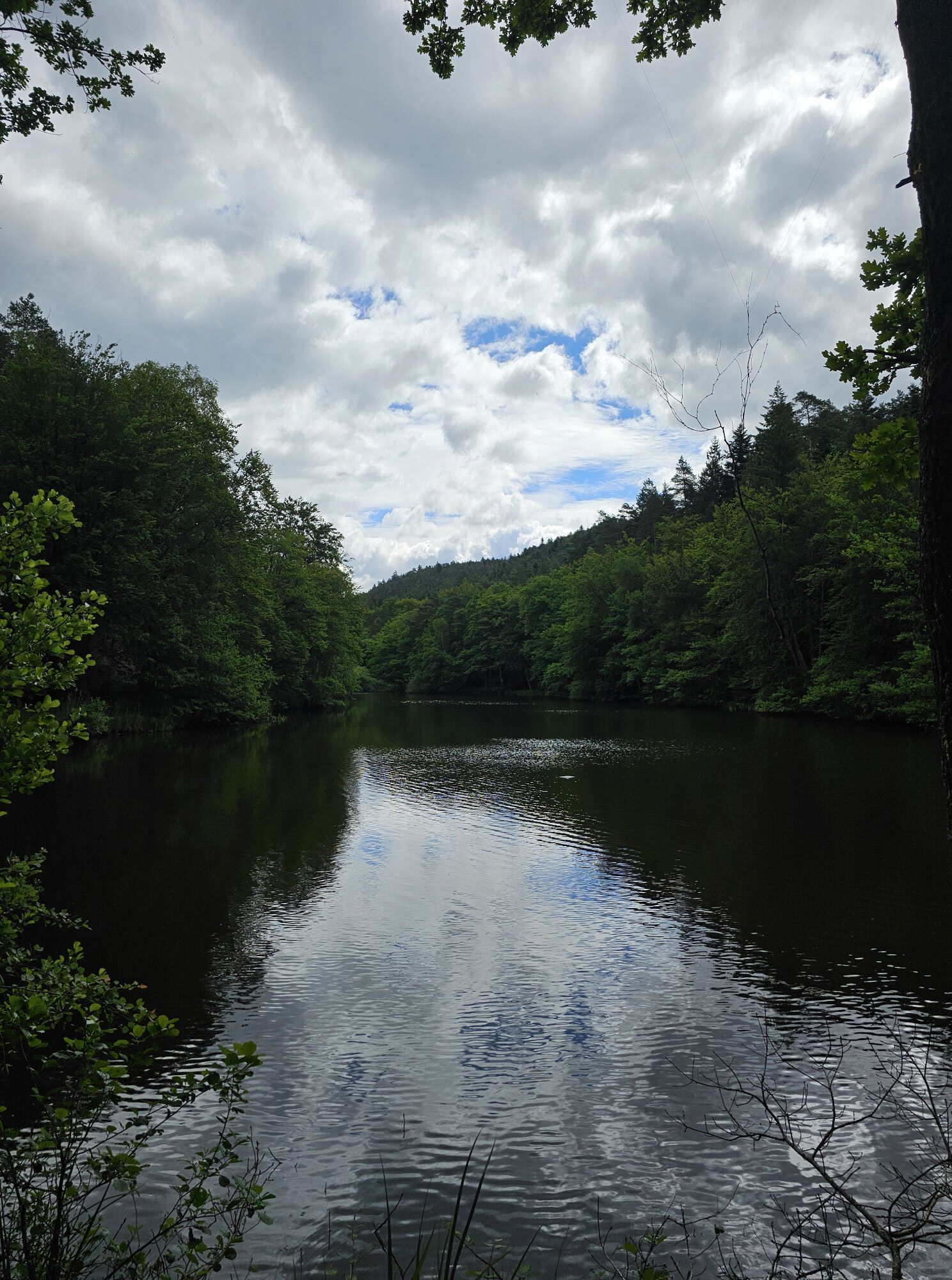
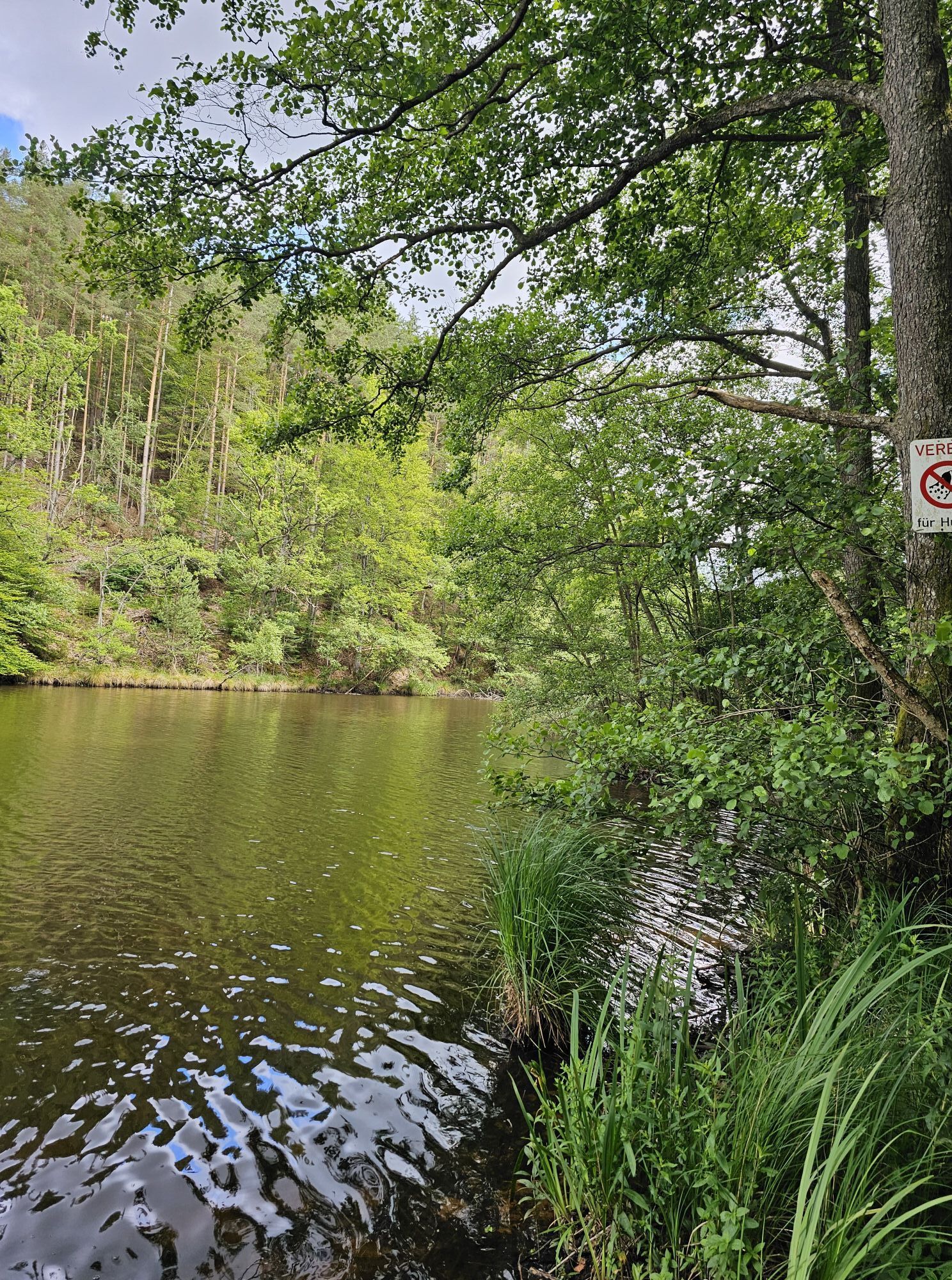
Fotografie našich uživatelů
Trasa
Birkenhördt
(246 m)
Vesnice
0.1 km
Neues Landlöchel
(319 m)
Koridor/terén
1.3 km
Lauterschwan
(251 m)
Vesnice
2.8 km
Niederschlettenbach
(190 m)
Vesnice
10.6 km
Zum Berwartstein
(210 m)
Restaurace
17.9 km
Erlenbach bei Dahn
(207 m)
Vesnice
18.1 km
Birkenhördt
(246 m)
Vesnice
25.3 km
Trasa
Häädstorze - Jägerhof - Lauterschwan - Altes Schulhaus
heavy
Jízda na kole
25.36
km
Häädstorze
(250 m)
Restaurace
0.0 km
Birkenhördt
(246 m)
Vesnice
0.1 km
Jägerhof
(247 m)
Restaurace
0.1 km
Neues Landlöchel
(319 m)
Koridor/terén
1.3 km
Lauterschwan
(251 m)
Vesnice
2.8 km
Hedwigsbrunnen
(212 m)
Zdroj:
8.5 km
Altes Schulhaus
(189 m)
Restaurace
10.6 km
Niederschlettenbach
(190 m)
Vesnice
10.6 km
Altes Schulhaus
(189 m)
Restaurace
14.5 km
Zum Berwartstein
(210 m)
Restaurace
17.9 km
Erlenbach bei Dahn
(207 m)
Vesnice
18.1 km
Lauterschwan
(251 m)
Vesnice
22.6 km
Neues Landlöchel
(319 m)
Koridor/terén
24.0 km
Jägerhof
(247 m)
Restaurace
25.3 km
Birkenhördt
(246 m)
Vesnice
25.3 km
Häädstorze
(250 m)
Restaurace
25.3 km
Zatím žádné recenze
Oblíbené prohlídky v okolí
-
4.8
Dahner Felsenpfad
středníTuristika 13.2 km -
4.0
Annweiler Castle Trail
středníTuristika 7.72 km -
4.8
Lemberg - Salzwoog - Schwamborn-Quelle - Teufelstisch
středníTuristika 11.9 km -
4.8
Napoleon-Steig
středníTuristika 12.3 km -
4.5
Eschbach-Trifelsblick-Madenburg-Eschbach
světloTuristika 9.37 km -
4.8
Wasigenstein und Zigeunerfelsen von Obersteinbach
Turistika 10.6 km -
4.5
Schusterpfad
středníTuristika 16.4 km -
3.7
Dahn - Lachberg - Vogelsberg
středníTuristika 18.7 km -
4.5
Eyberg-Tour (Variante)
středníTuristika 11.4 km -
4.5
Northern Vosges - Circuit of the 4 castles
středníTuristika 6.49 km

Pěší turistika a stopování

Více než 550.000 návrhů výletů, podrobné mapy a intuitivní plánovač tras dělají z aplikace nezbytnou výbavu pro všechny milovníky přírody.

Nenechte si ujít nabídky a inspiraci pro vaši příští dovolenou
Přihlaste se k odběru newsletteru
Chyba
Došlo k chybě. Zkuste to prosím znovu.
Děkujeme za vaši registraci
Vaše e-mailová adresa byl přidán do poštovního seznamu.
Zájezdy po celé Evropě
Rakousko
Švýcarsko
Německo
Itálie
Slovenia
Francie
Nizozemsko
Belgie
Polsko
Lichtenštejnsko
Česko
Slovensko
Španělsko
Chorvatsko
Bosna a Hercegovina
Lucembursko
Andorra
Portugal
Iceland
United Kingdom
Ireland
Greece
Albania
North Macedonia
Malta
Norway
Montenegro
Moldova
Kosovo
Hungary
San Marino
Romania
Estonia
Latvia
Belarus
Cyprus
Lithuania
Serbia
Bulgaria
Monaco
Denmark
Sweden
Finland