







Hunsrück-Mosel route

Úroveň obtížnosti: 3
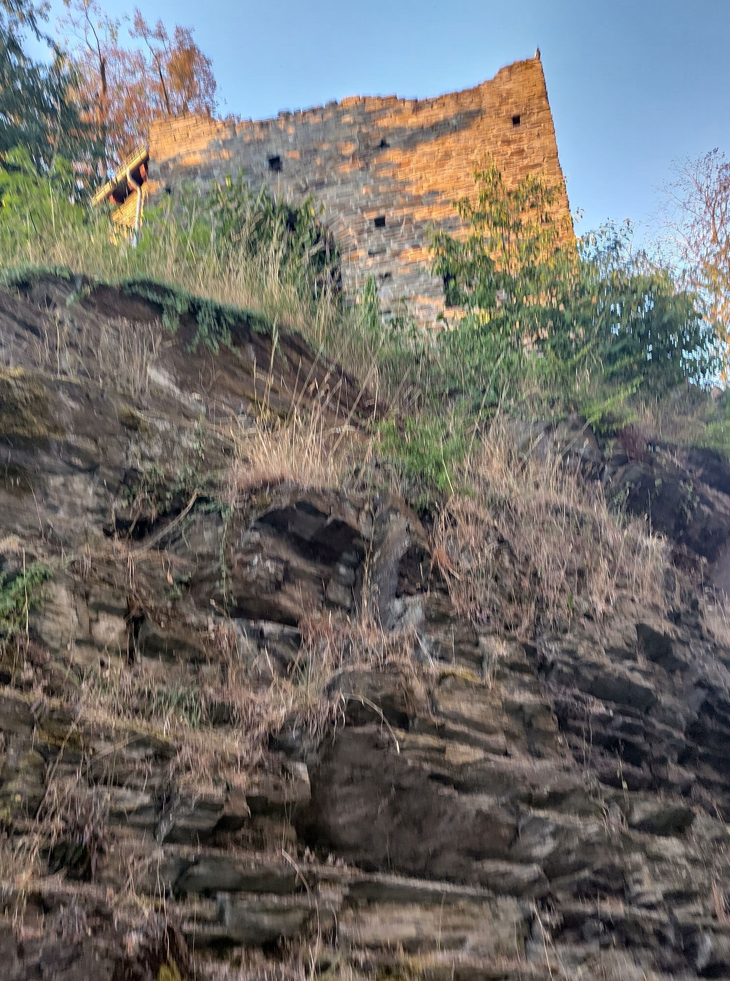
The bicycle route leads through the varied Hunsrück landscape without climbs along the old track of the Hunsrück Railway, the Schinderhannes cycle path. Passing Pfalzfeld station, you reach Kastellaun...
The bicycle route leads through the varied Hunsrück landscape without climbs along the old track of the Hunsrück Railway, the Schinderhannes cycle path. Passing Pfalzfeld station, you reach Kastellaun via this Hunsrück cycle route. A stop there is worthwhile to visit the castle and the old town.
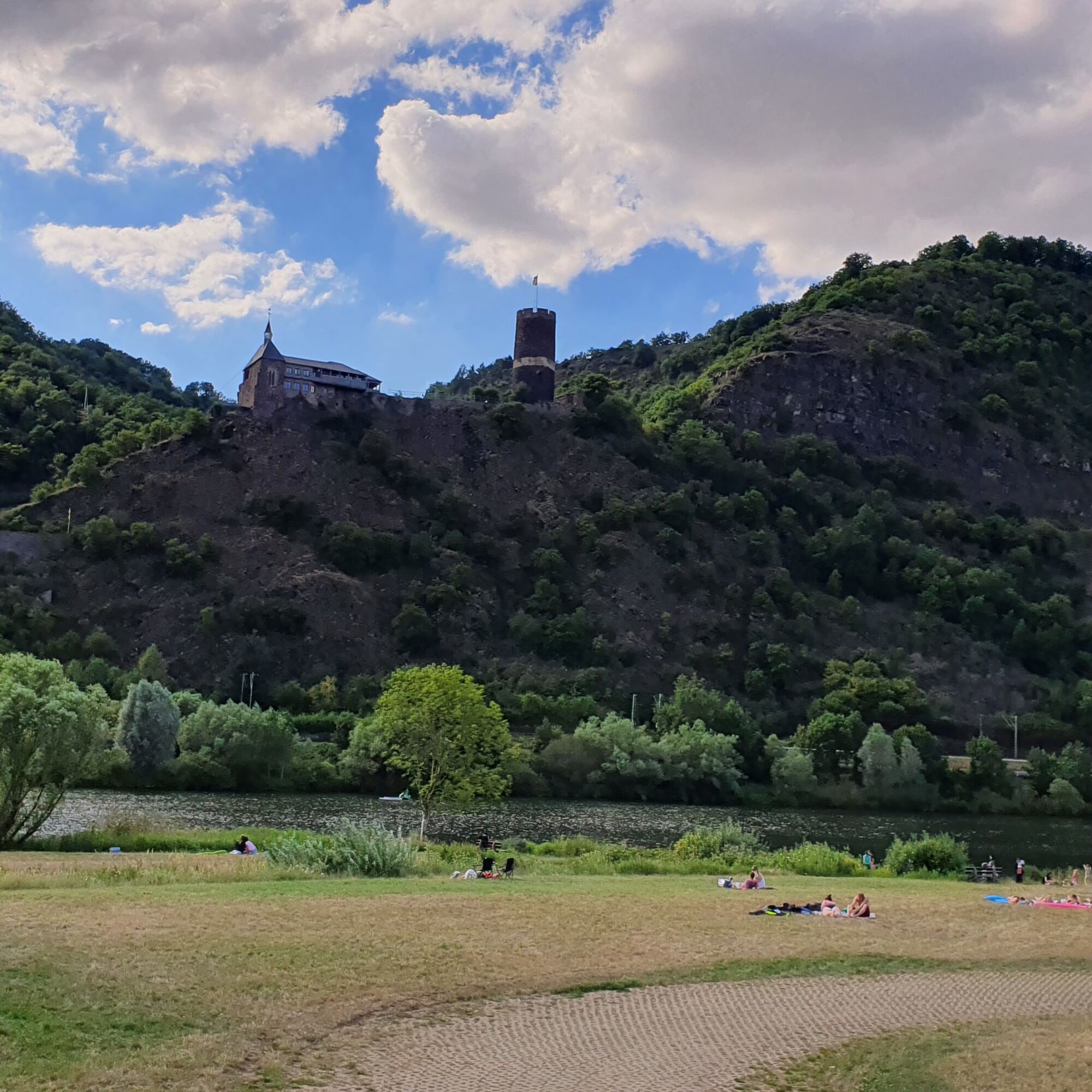
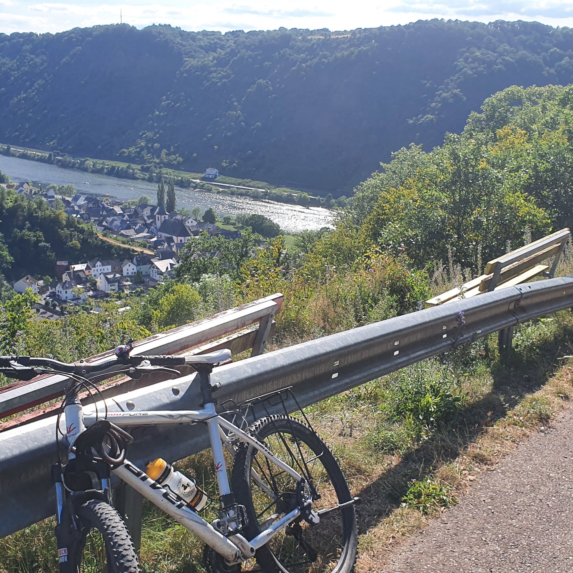
From there, it continues along the new Hunsrück-Mosel cycle path through the Deimerbach and Lützbach valleys, which take you to the Lower Mosel. From there, you cycle down the Mosel to Burgen. Afterwards, it continues back up to the Hunsrück heights along the Schinderhannes-Lower Mosel cycle path to Emmelshausen.

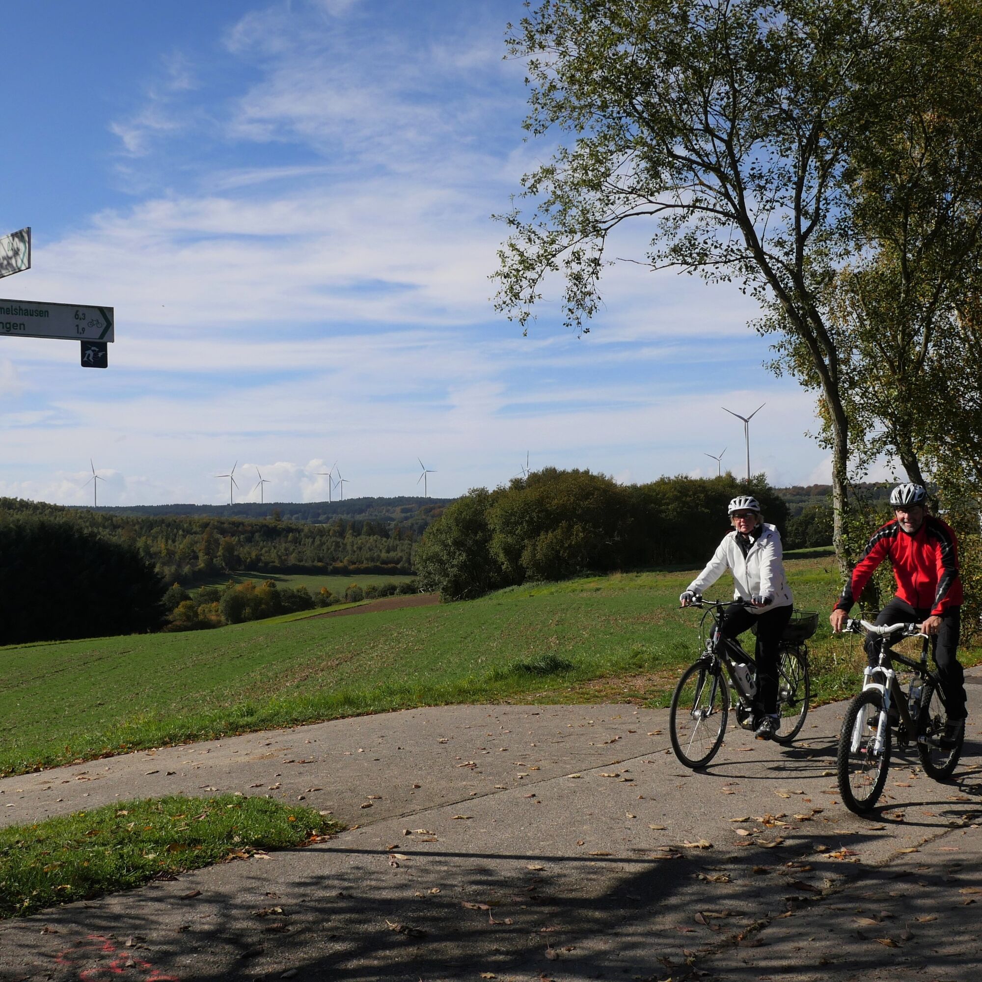
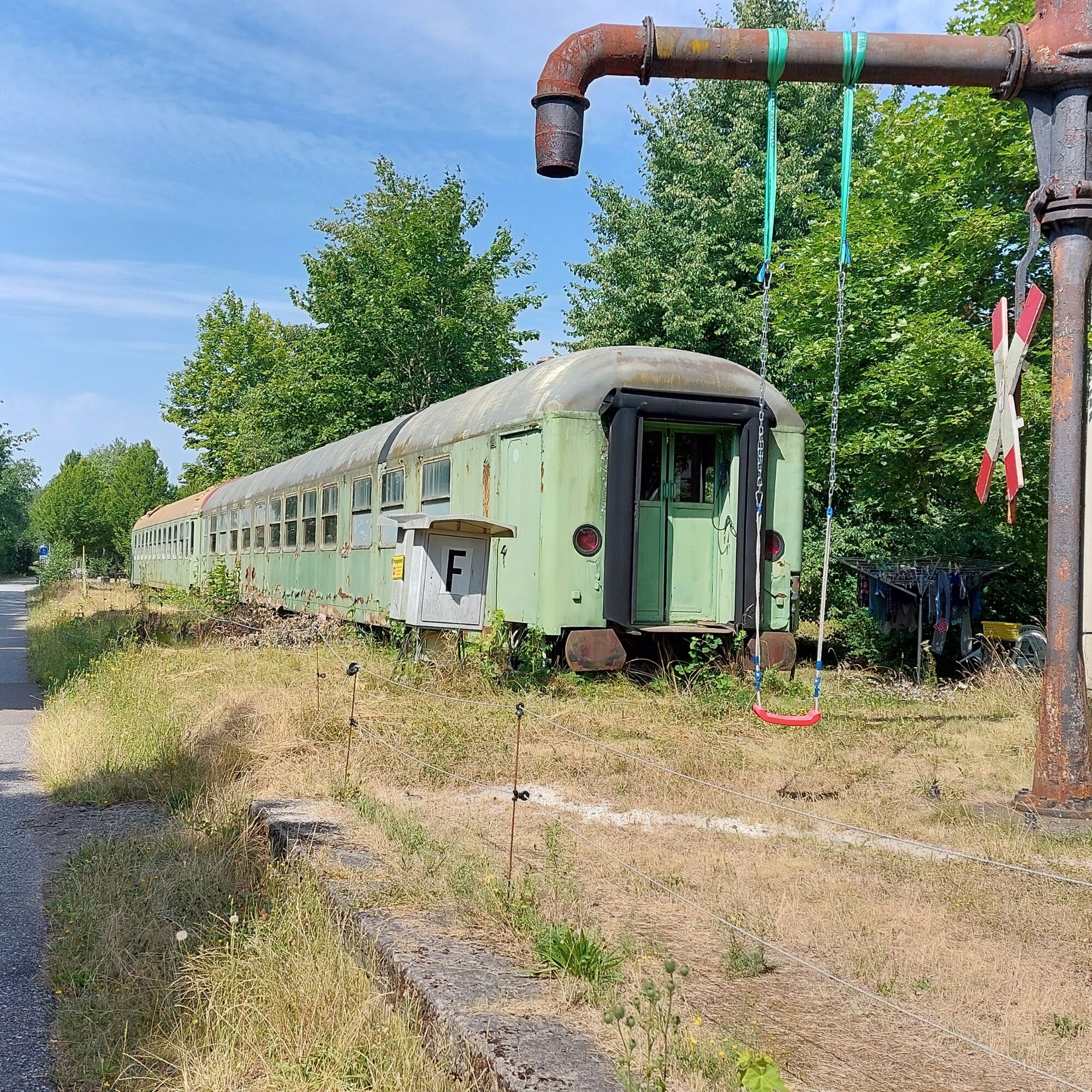
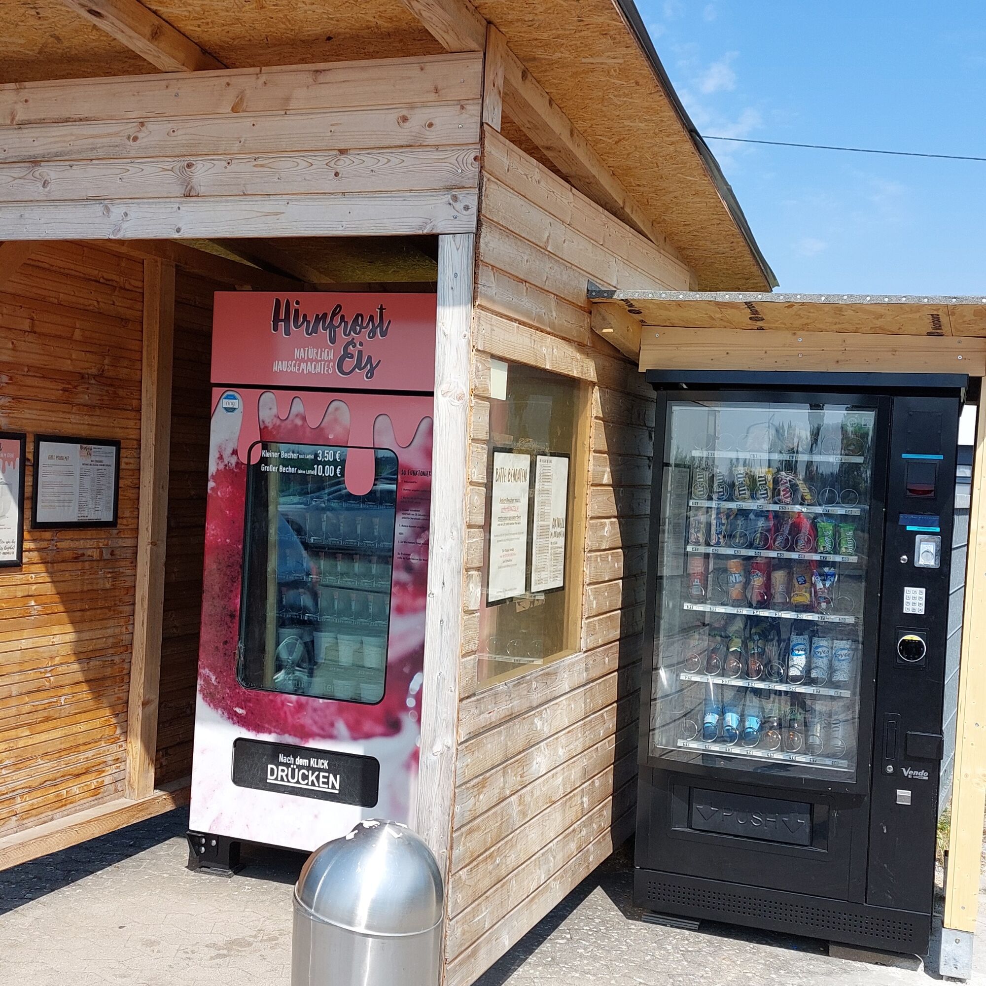
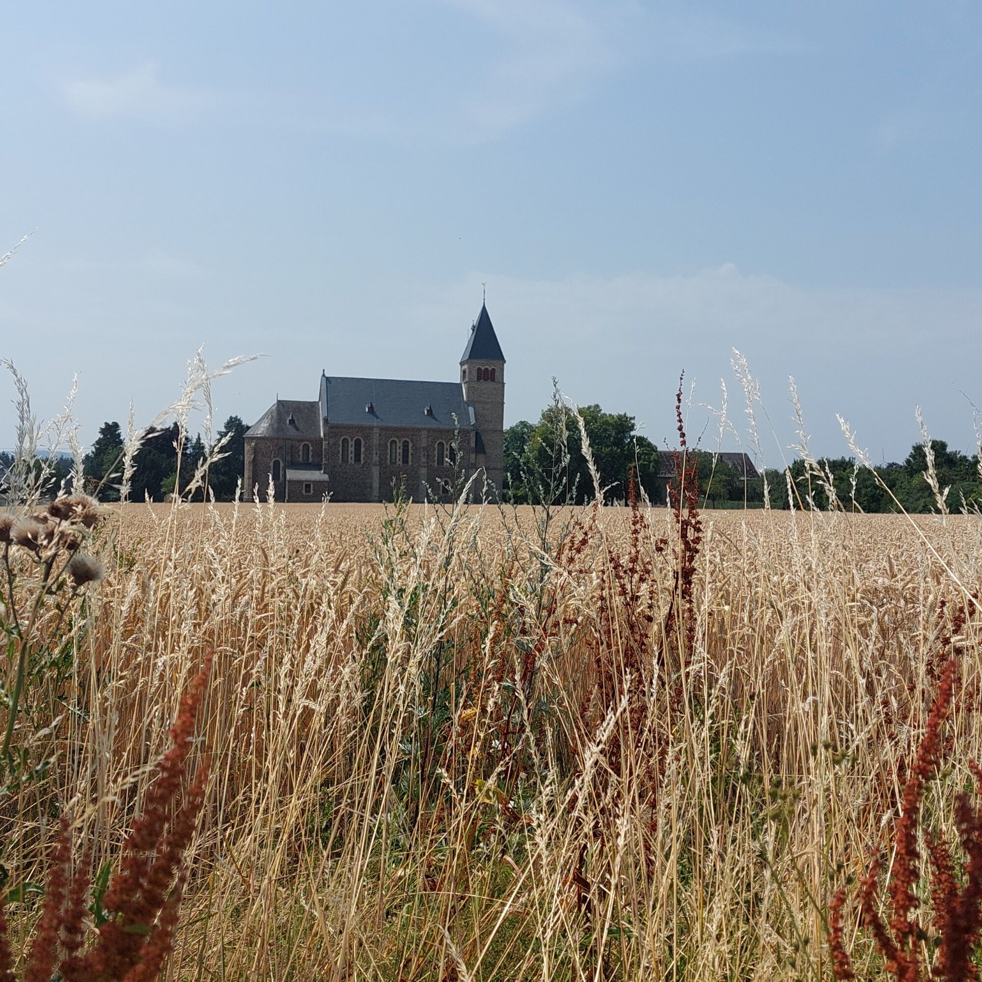
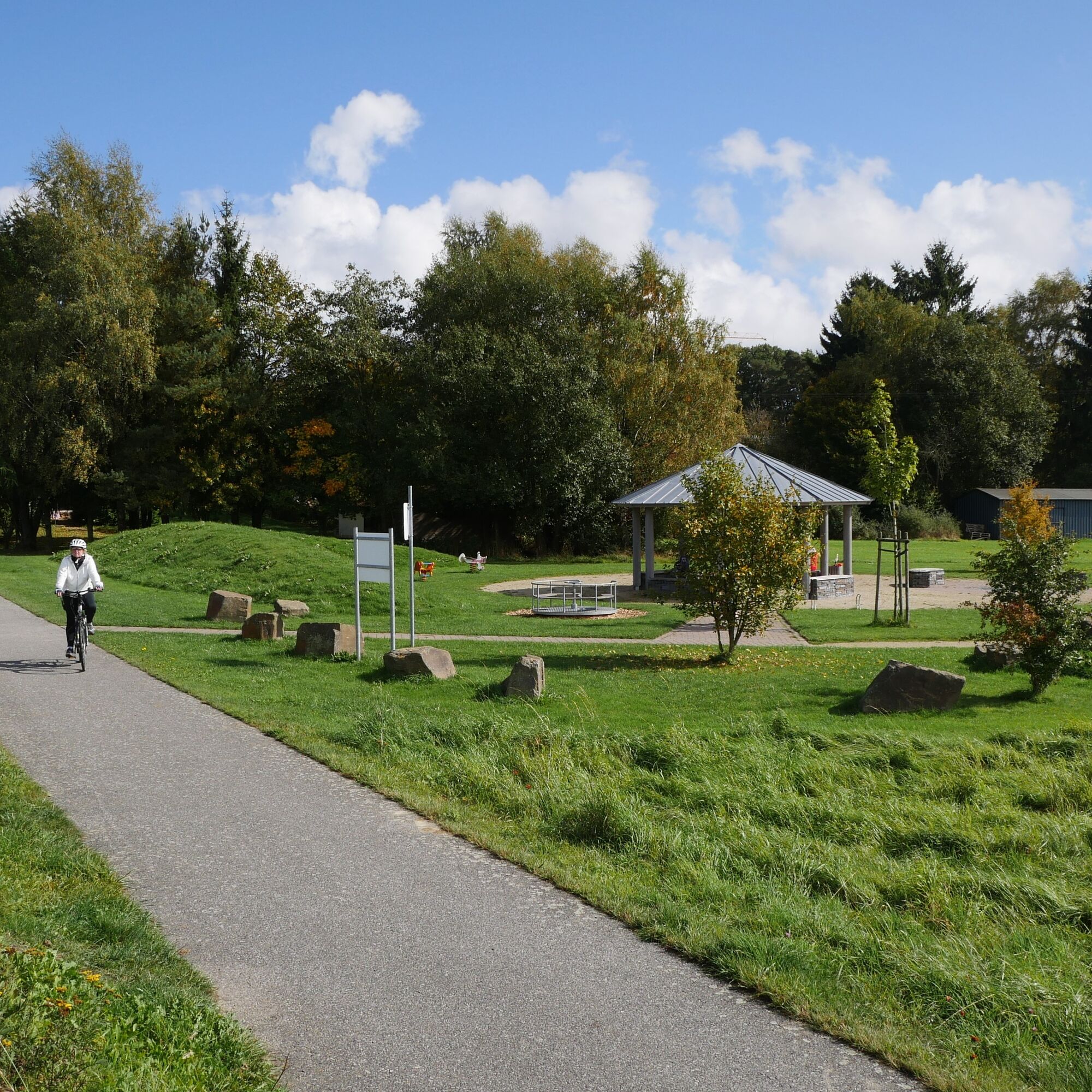

The route is signposted but does not have its own trail logo.
Ano
A traffic-safe bicycle is mandatory.
Helmet
Mobile phone with full battery
Cash, ID
Navigation device, maps
Air pump / compressed air cartridge
Spare inner tube
Plenty of drinks
Energy bars/gels
Wind and rain jacket
We recommend a bicycle helmet.
Observe traffic rules, be aware of other road users and ride at an appropriate speed, especially on descents. Show consideration for other cyclists and pedestrians
via the BAB 61 exit Emmelshausen
via the B 327 from Koblenz or Kastellaun direction
Arrival is possible by Hunsrück Railway to Emmelshausen station.
Free car park at the Hunsrück-Mittelrhein Tourist Information, Rhein-Mosel-Str. 45, 56281 Emmelshausen
3
The route is signposted but does not have its own trail logo
More route suggestions: Cycling routes in the Hunsrück-Mittelrhein region
The castle and the old town in Kastellaun are always worth a visit.
Oblíbené prohlídky v okolí
- 4.6
Traumschleife Ehrbachklamm
heavyTuristika 11.0 km - 4.4
Mosel - Burg Eltz - Mosel
středníTuristika 12.8 km - 4.4
Marienkapellchen - Wierschem - Petersköpfchen - Unterschänke
heavyTuristika 12.7 km - 4.8
Murscher Eselsche Dream Loop
středníTuristika 10.7 km - 4.7
Dommershausen - Steffenshof - Schmausemühle - Beltheim
heavyTuristika 10.4 km - 4.7
Schessels Beersche
středníTuristika 5.44 km - 4.2
Moselsteig stage 20: Treis-Karden – Moselkern
střednídálková pěší trasa 13.6 km - 4.0
Moselsteig stage 18: Beilstein – Cochem
střednídálková pěší trasa 14.4 km - 3.5
Traumschleifchen Baybachquellen
světloTuristika 6.22 km Pfalzfeld - Geierlay suspension bridge
středníJízda na kole 28.1 km
Pěší turistika a stopování


Nenechte si ujít nabídky a inspiraci pro vaši příští dovolenou
Vaše e-mailová adresa byl přidán do poštovního seznamu.





