



World Heritage Trail Upper Middle Rhine Valley

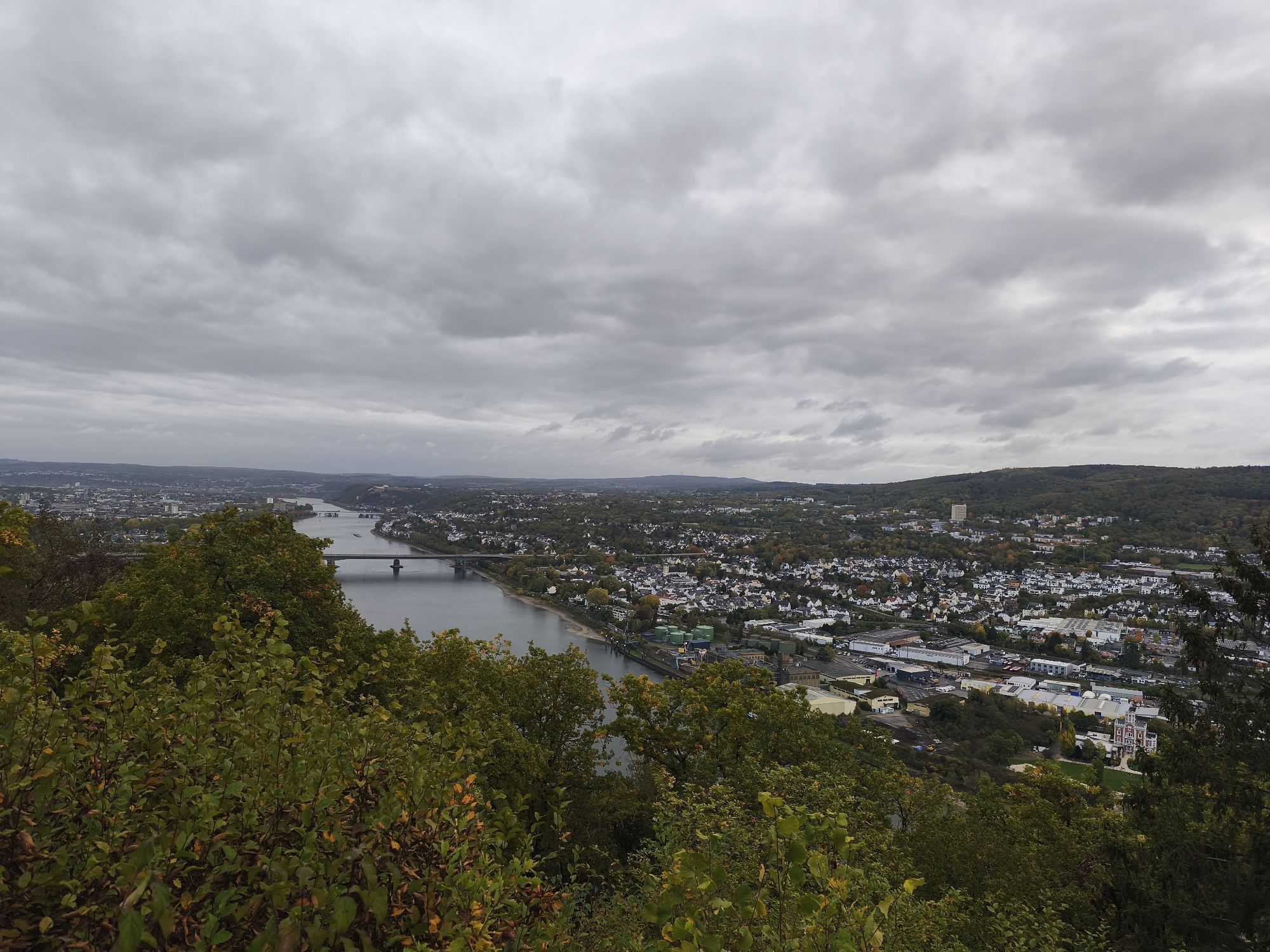
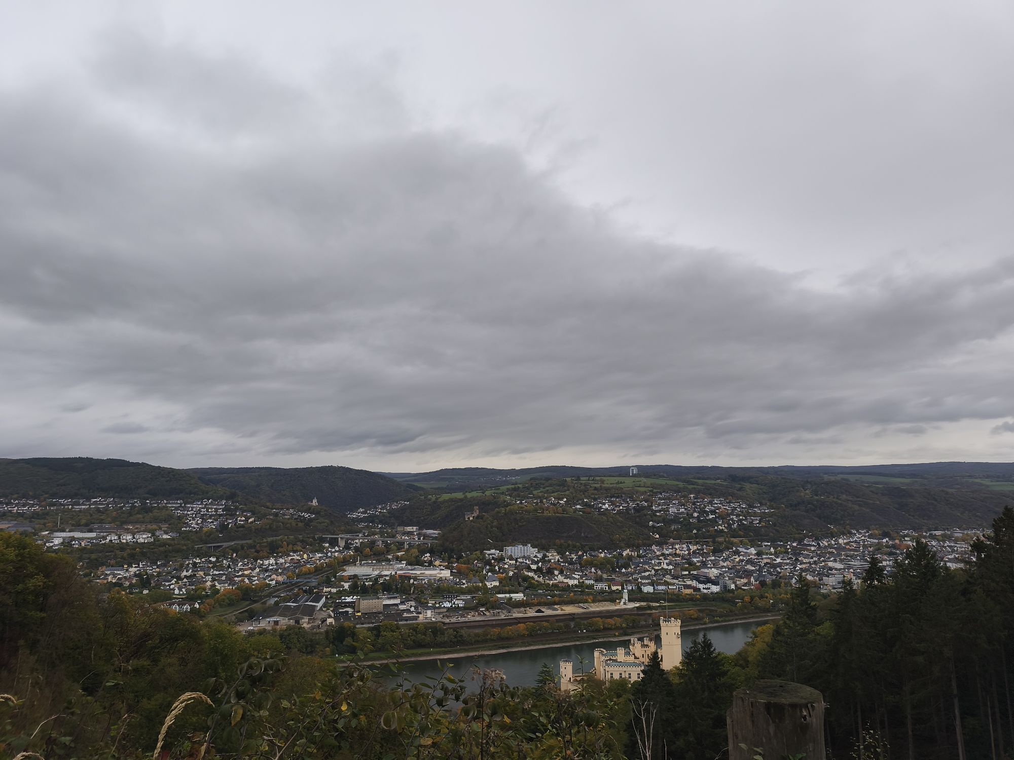
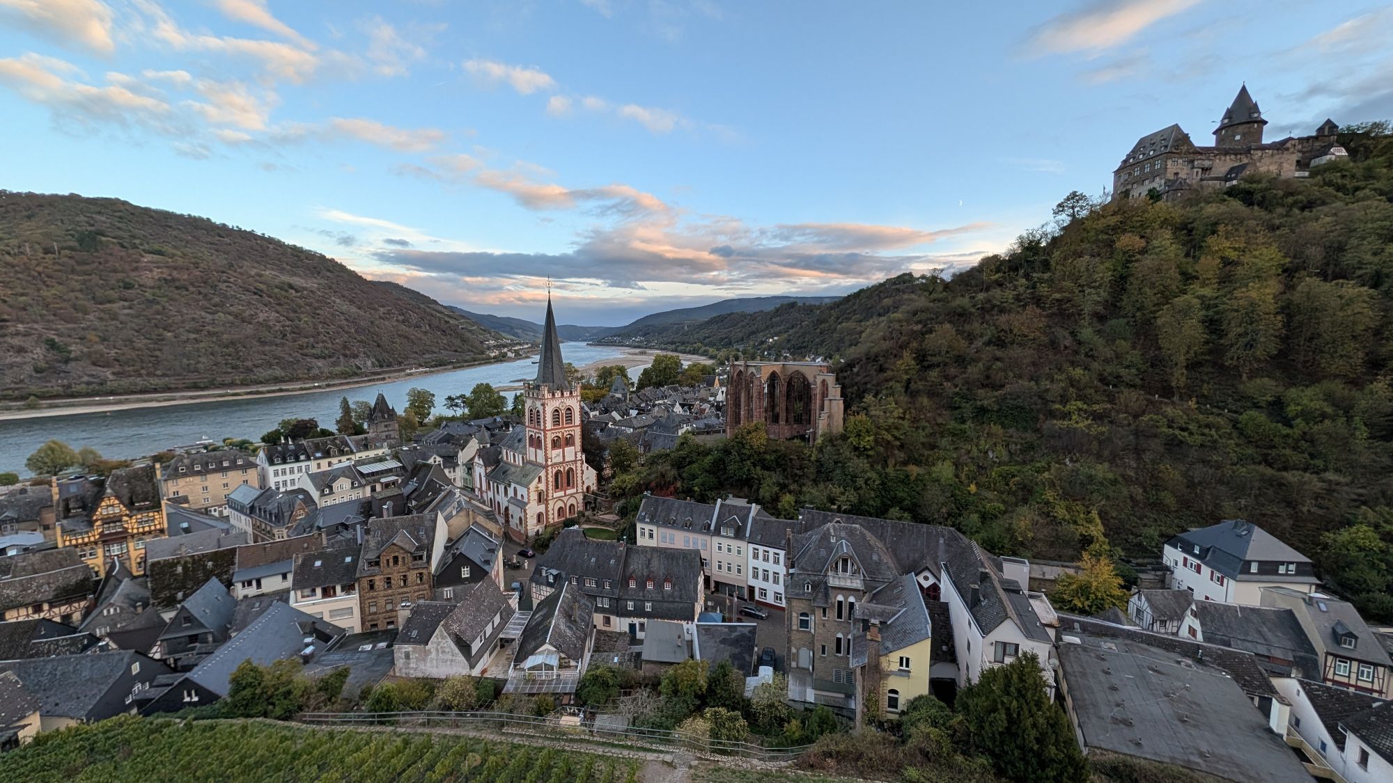
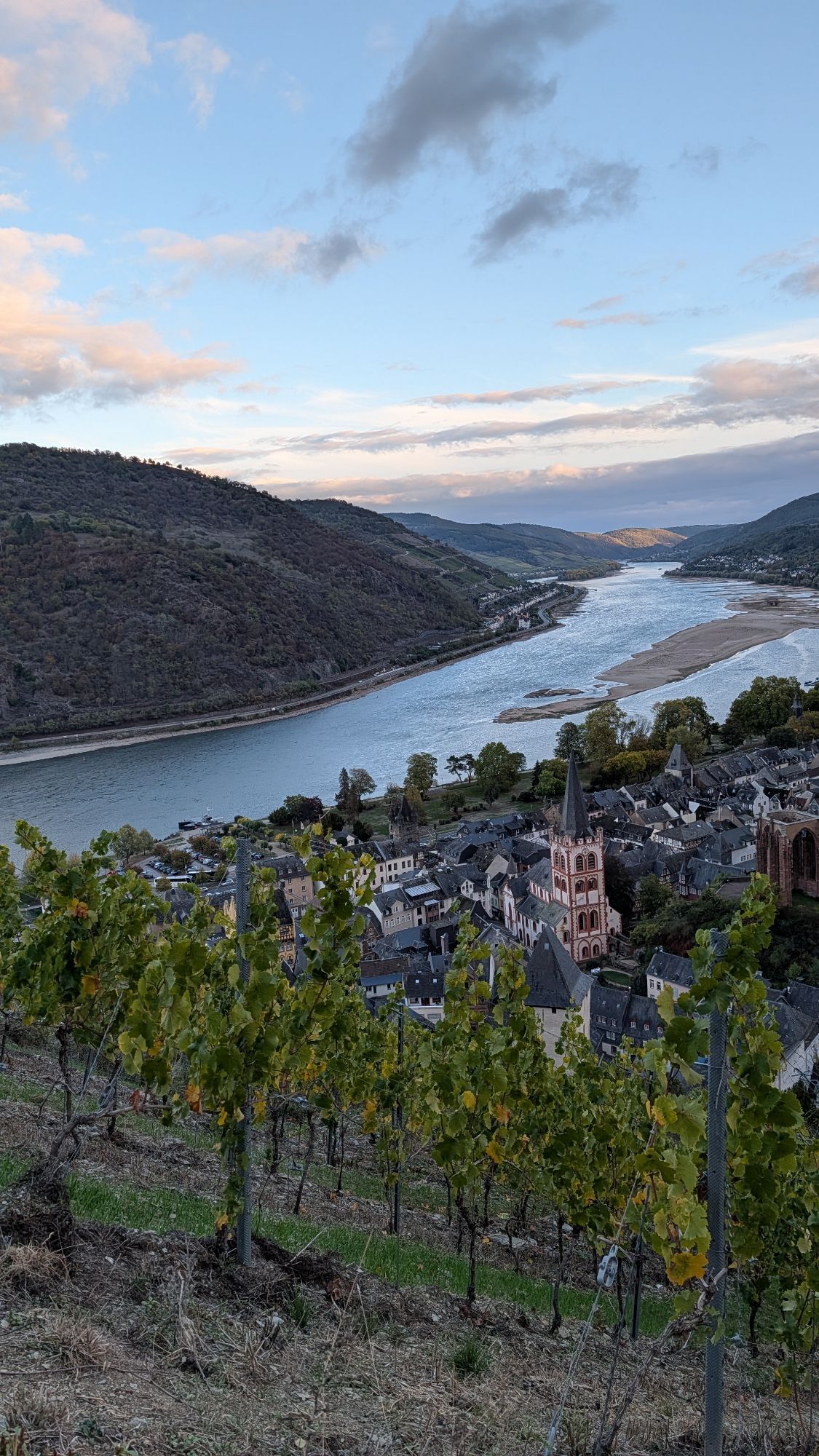
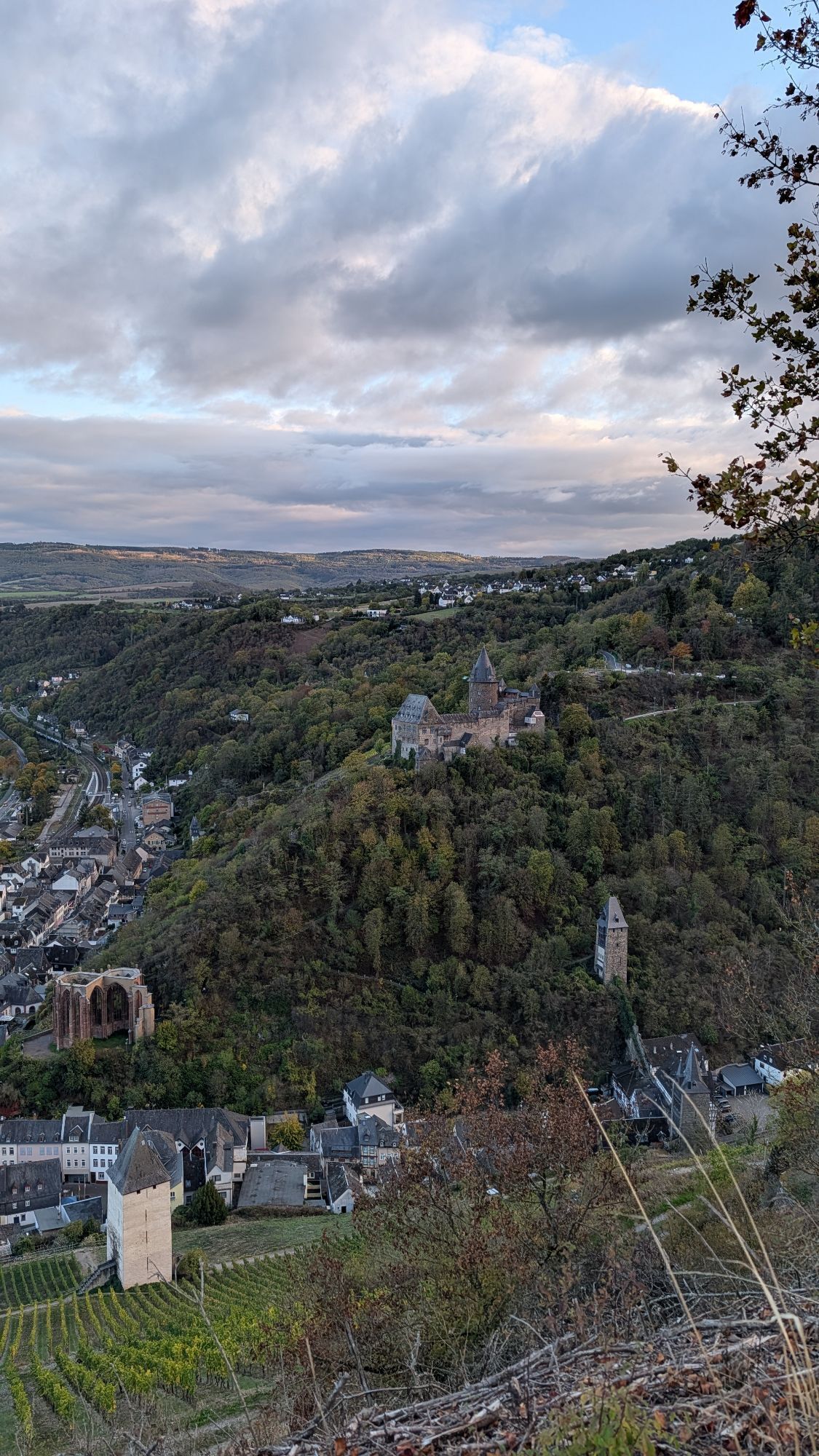
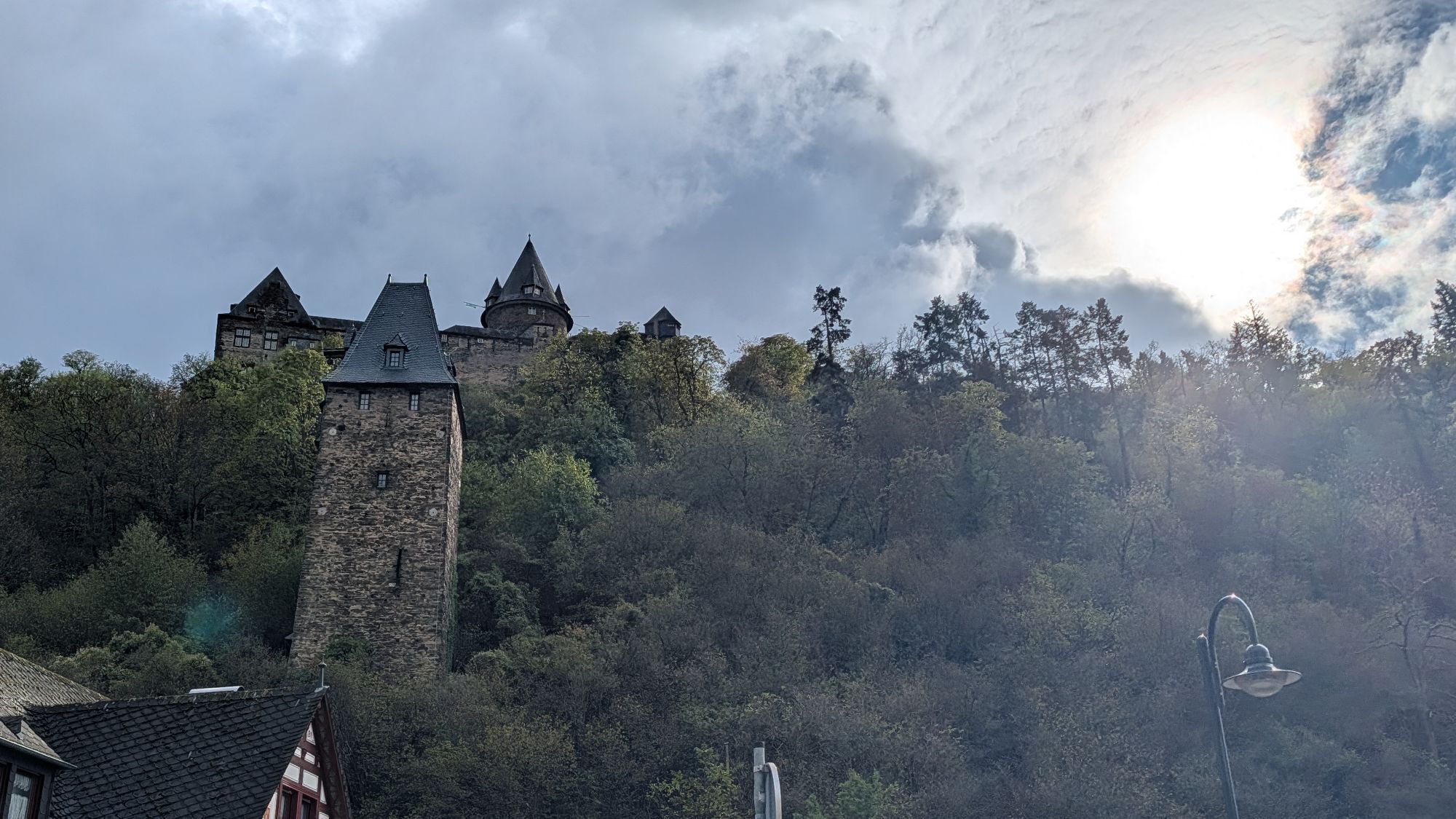
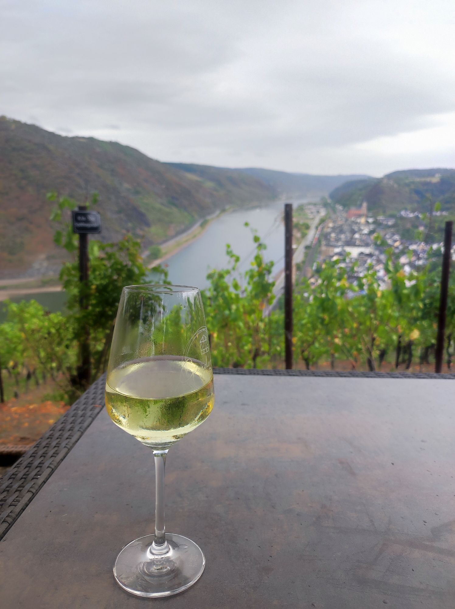
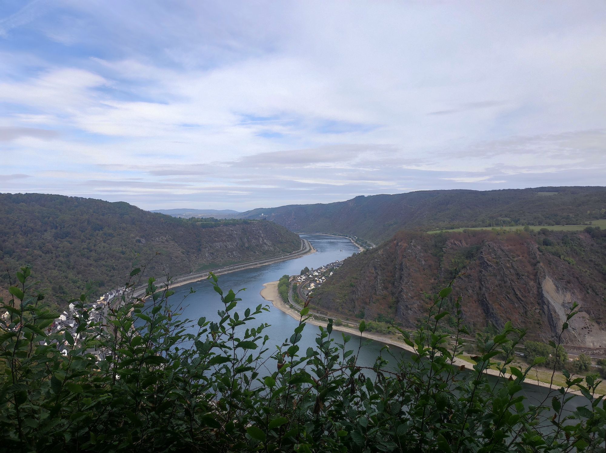
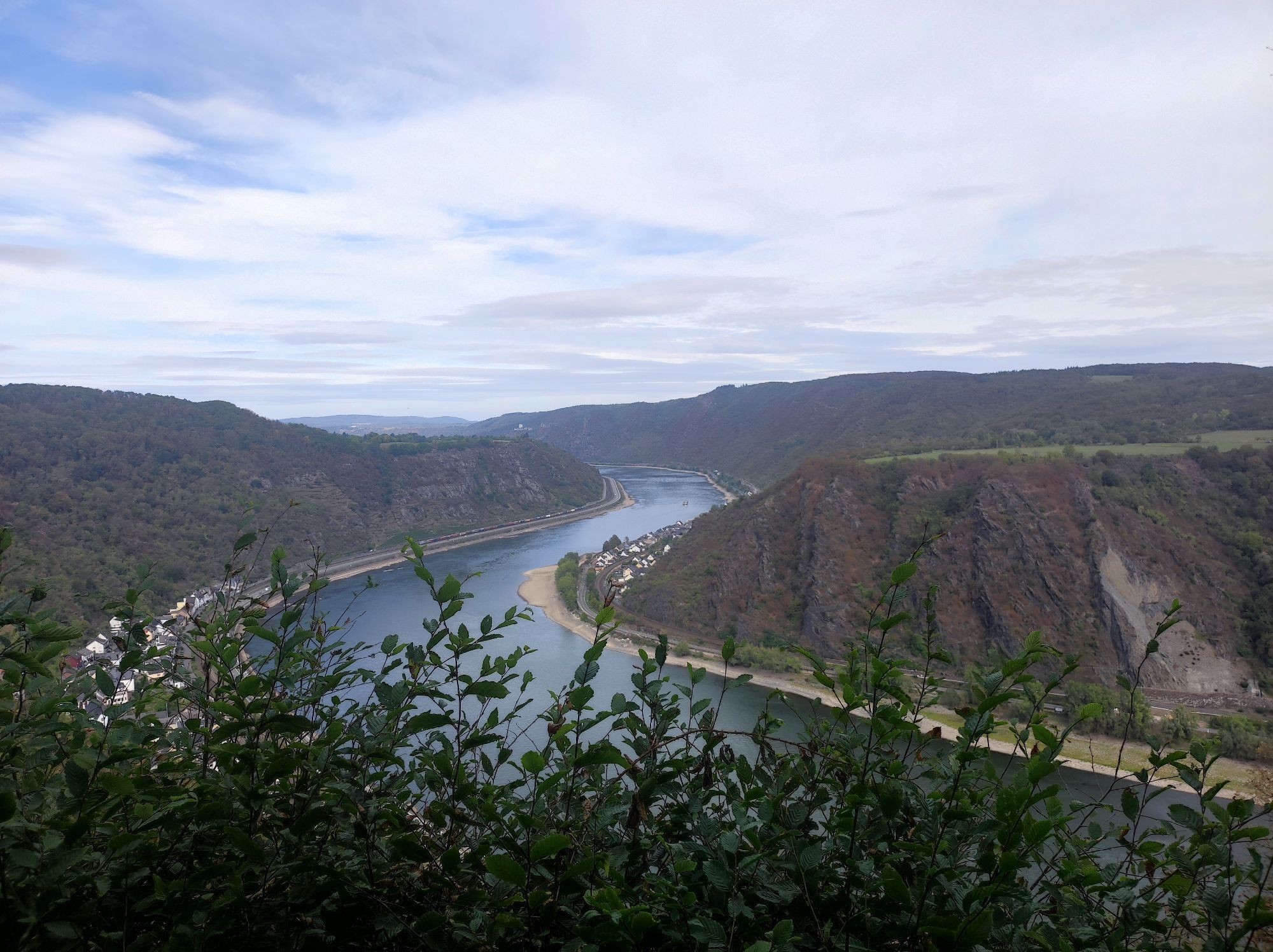
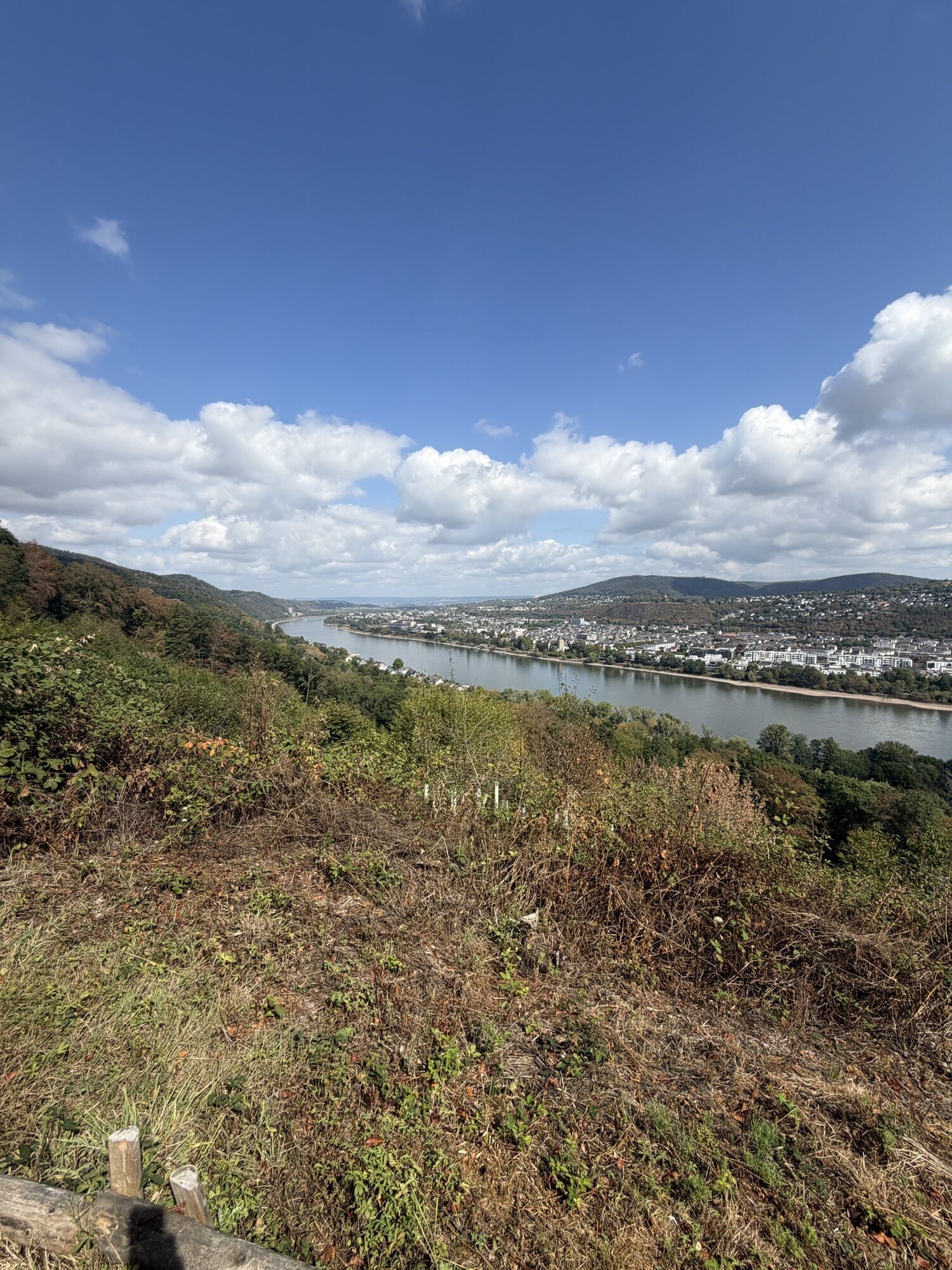
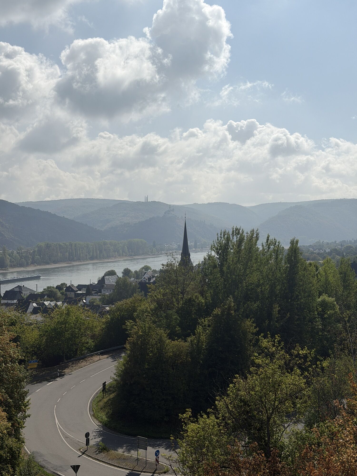


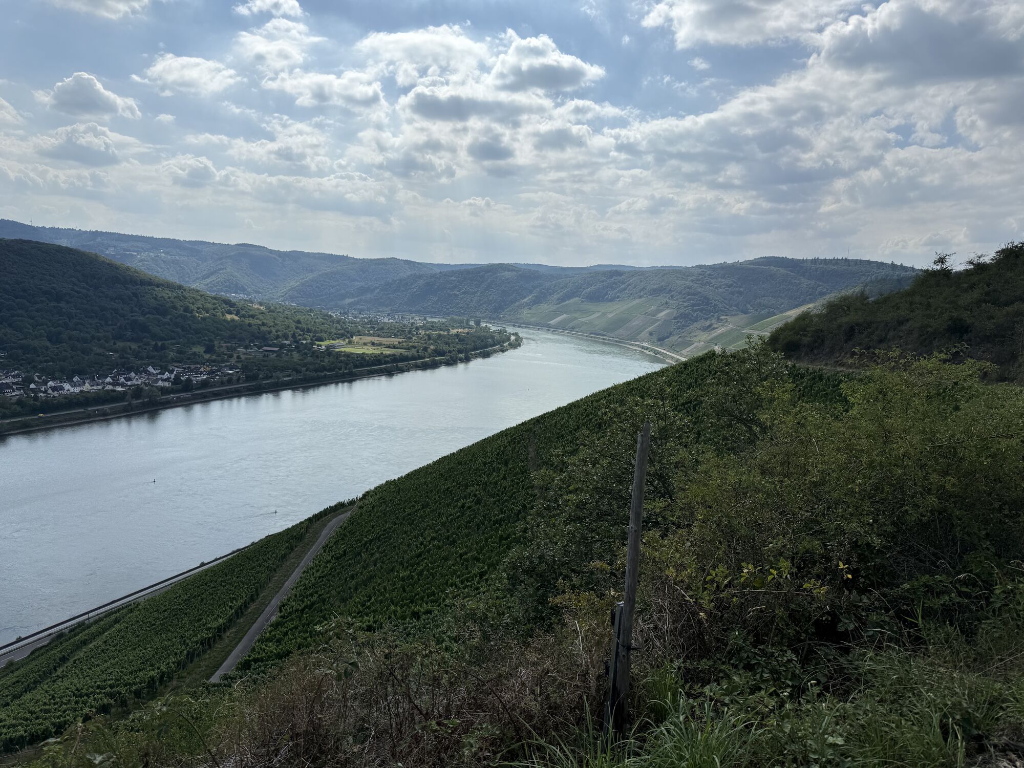
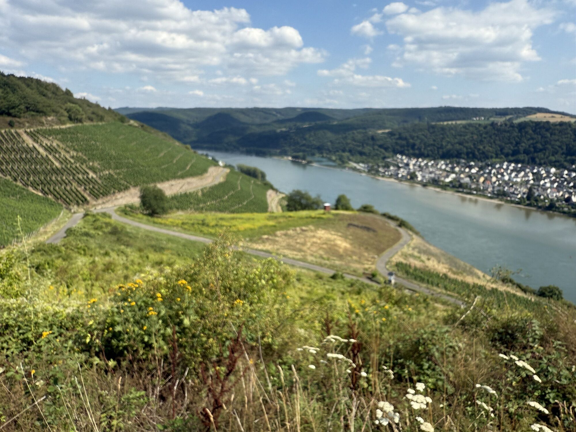
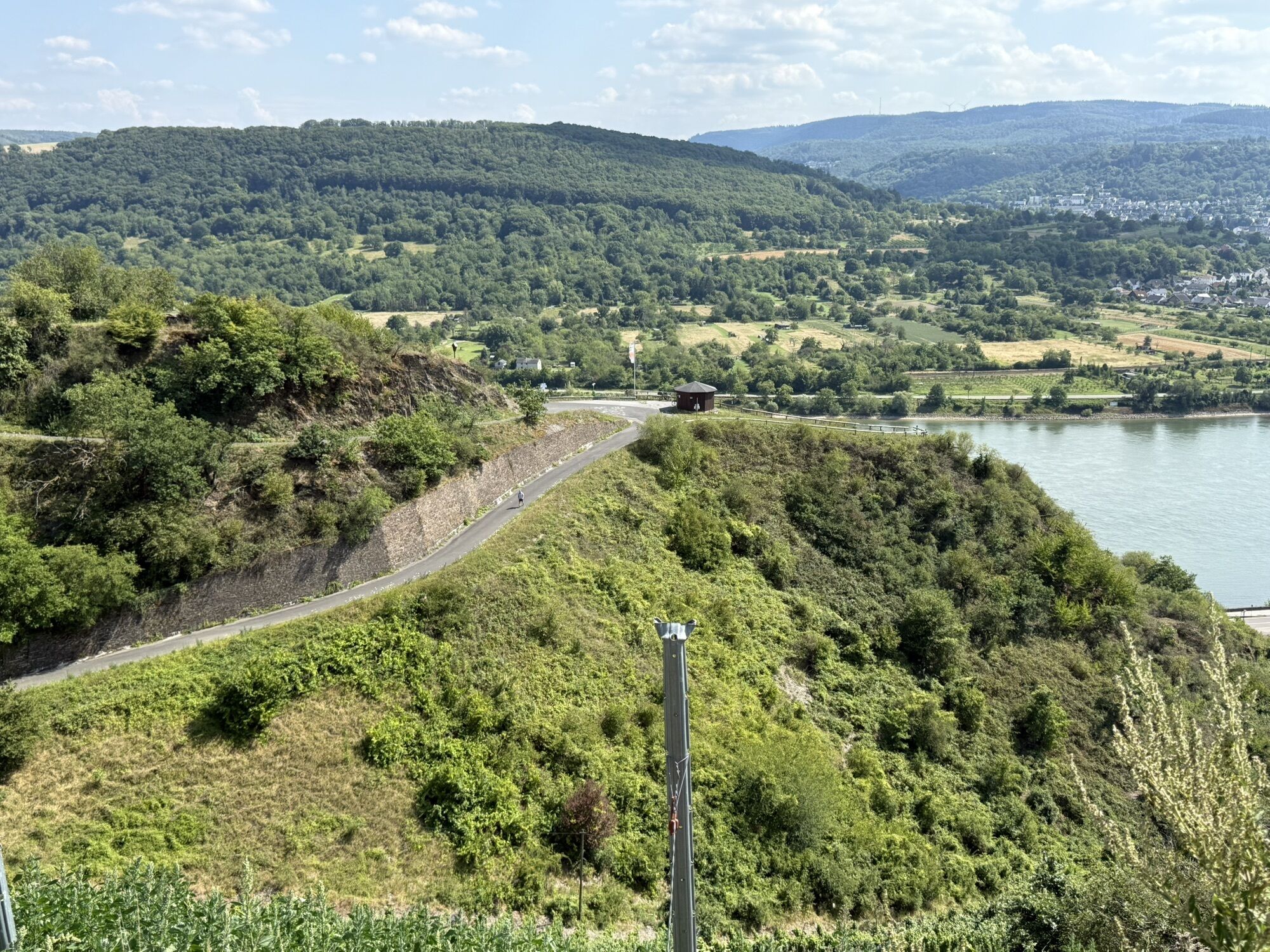
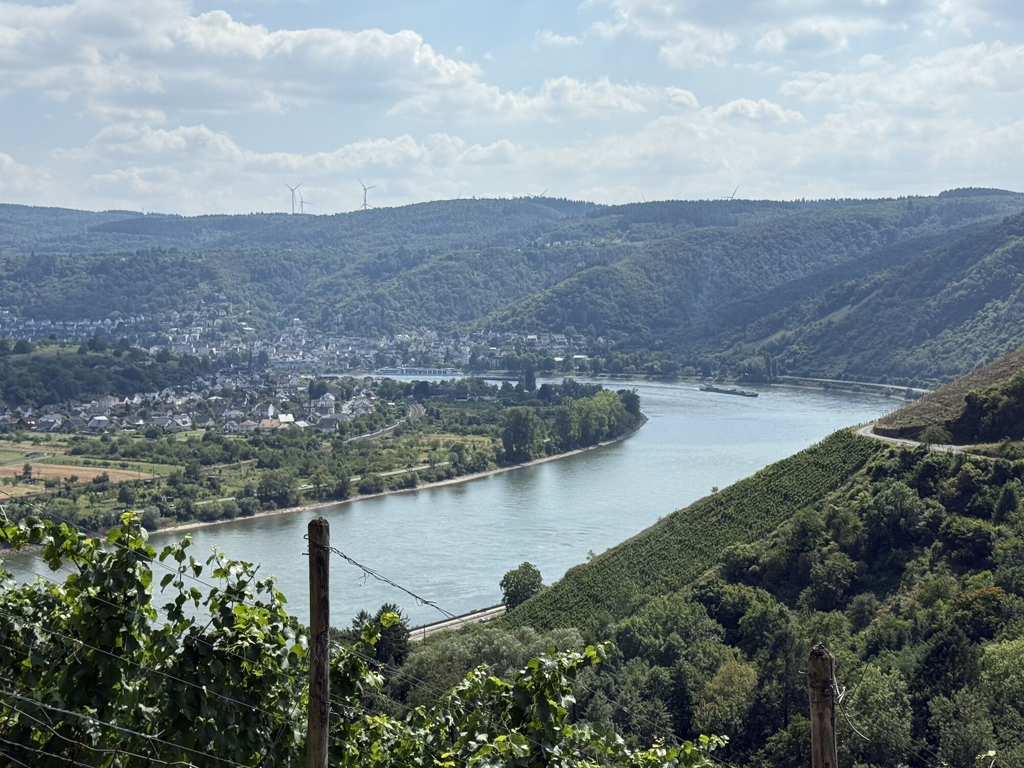
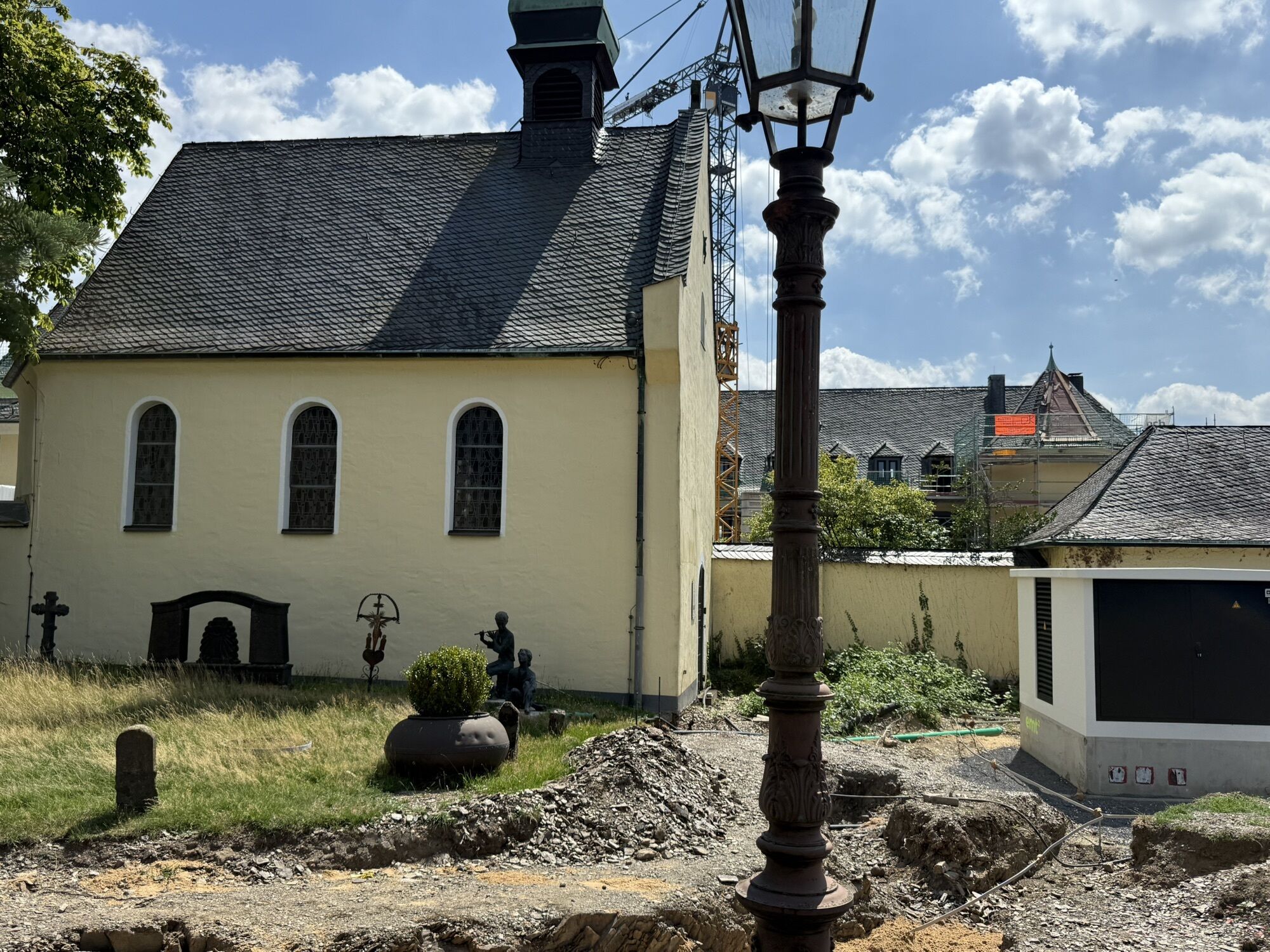
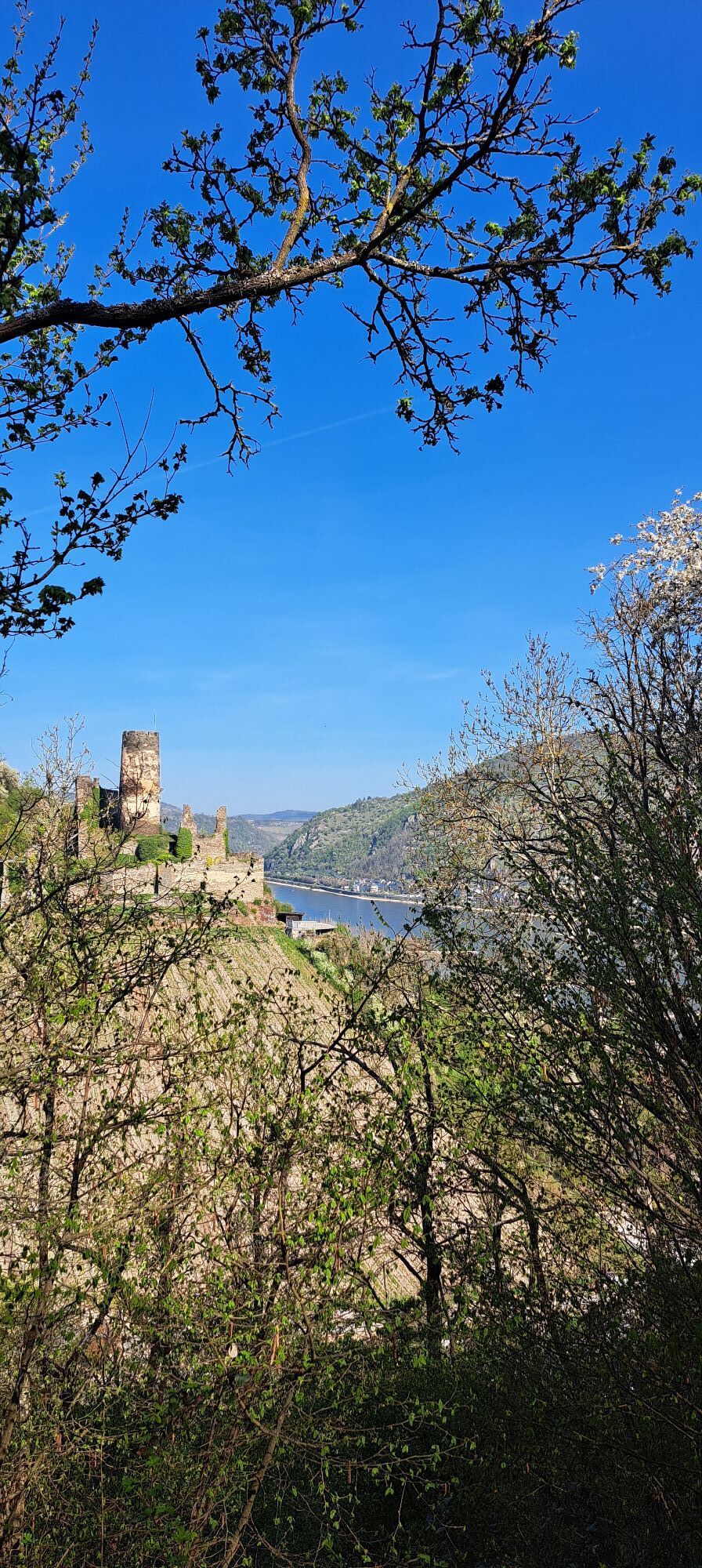
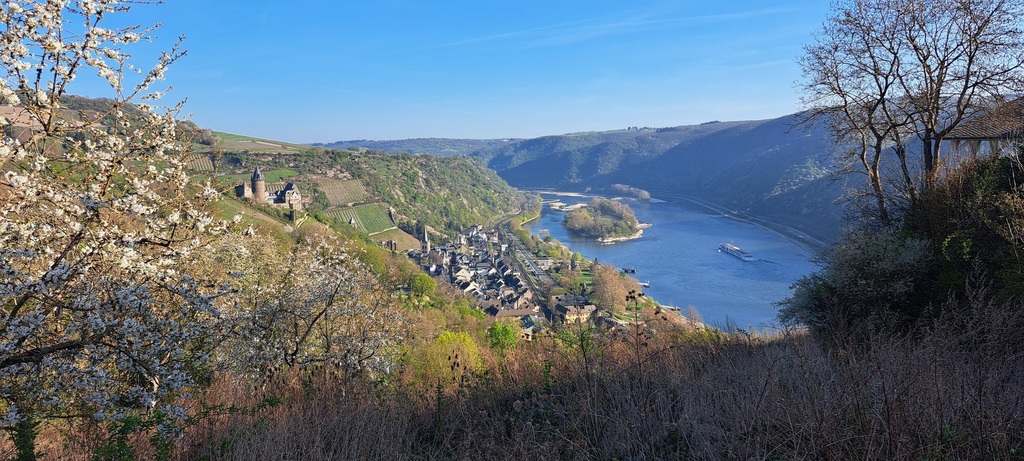
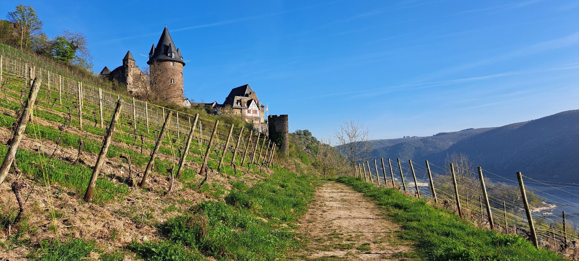


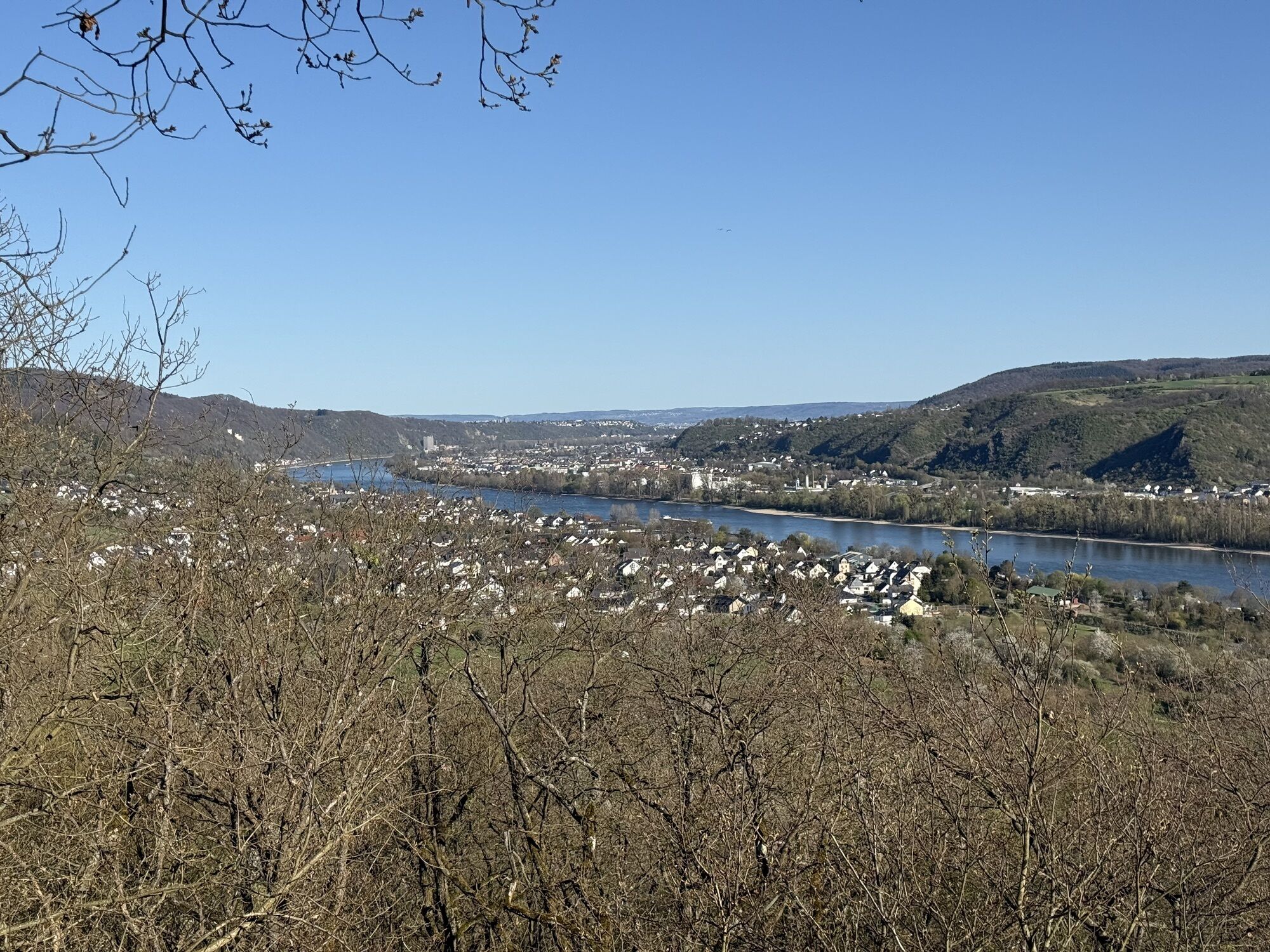
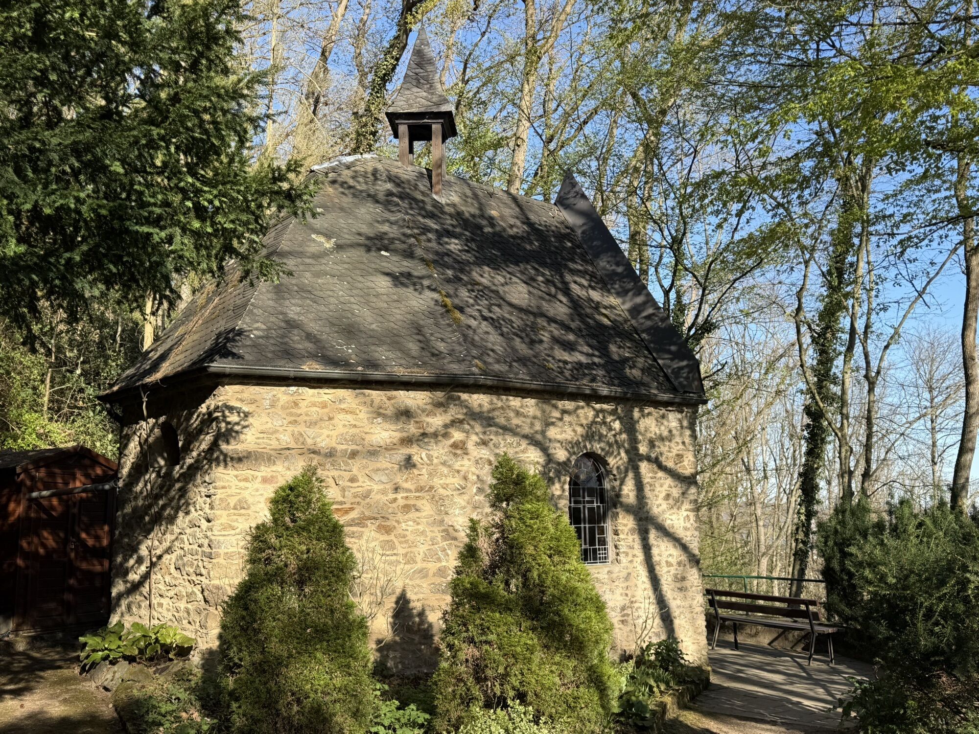
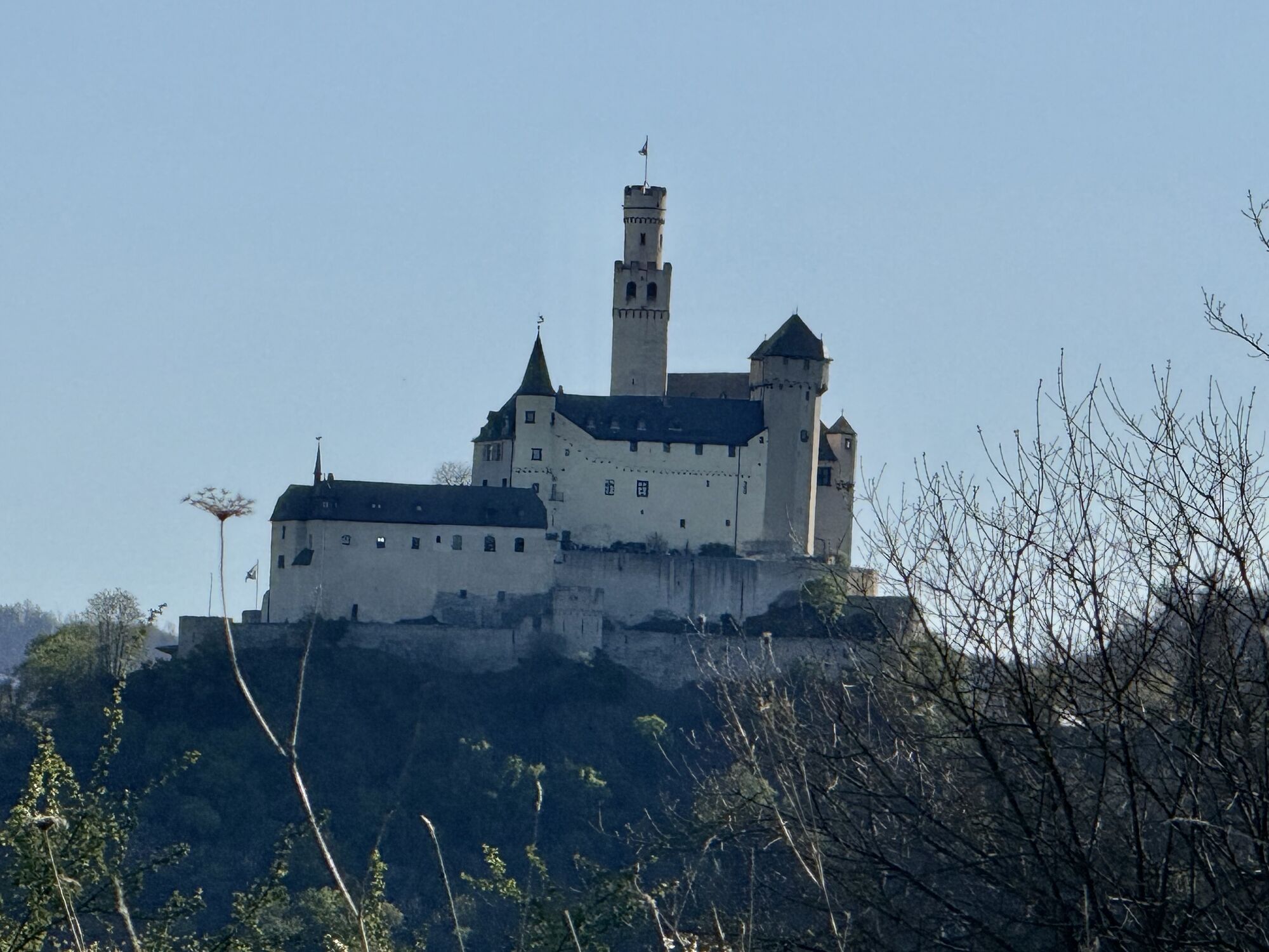
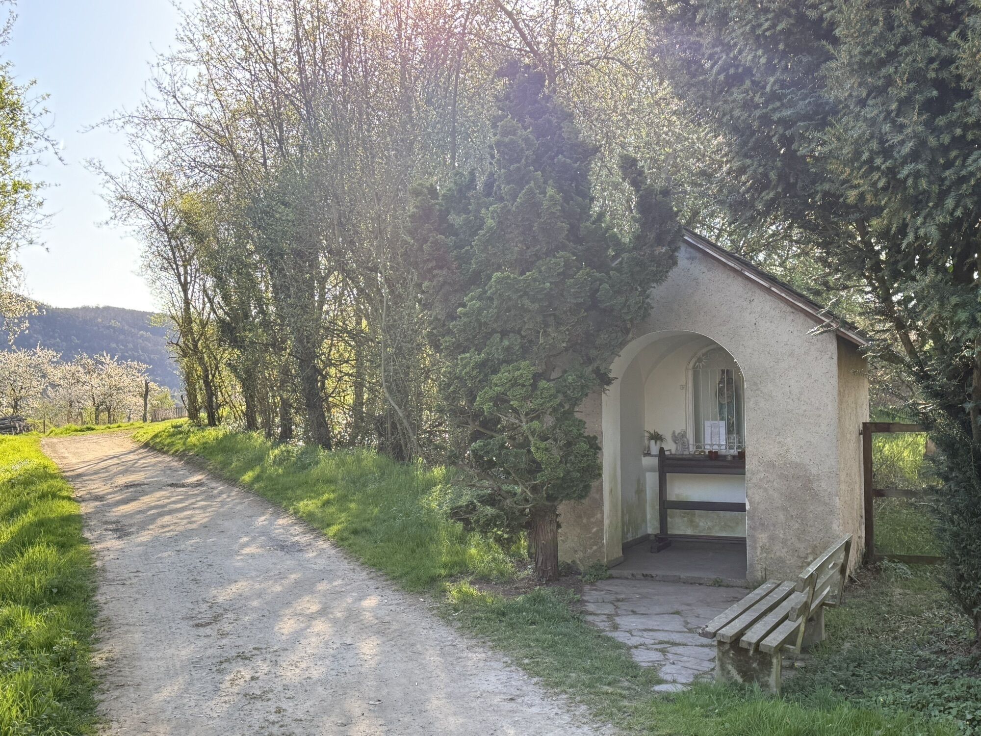
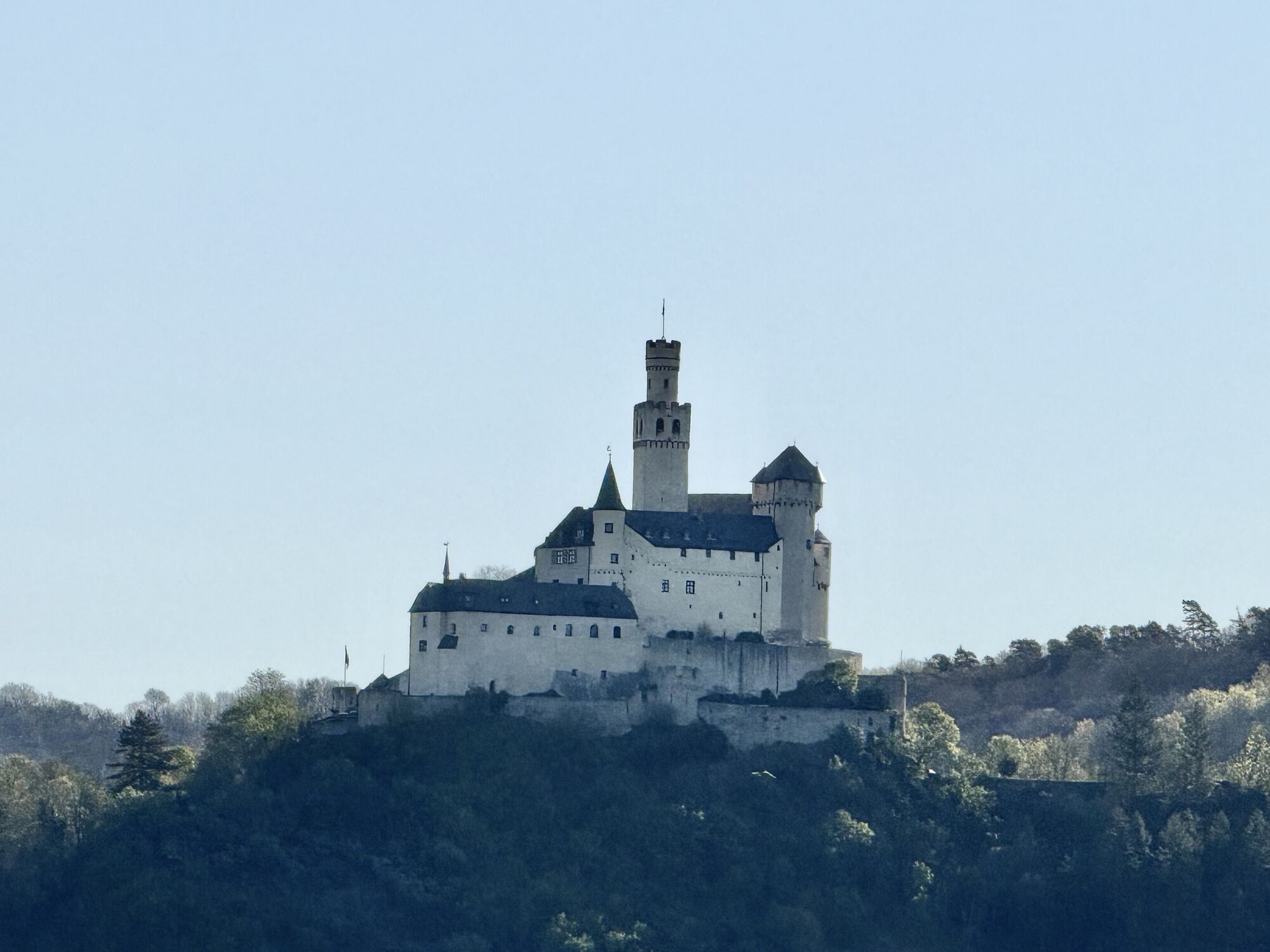
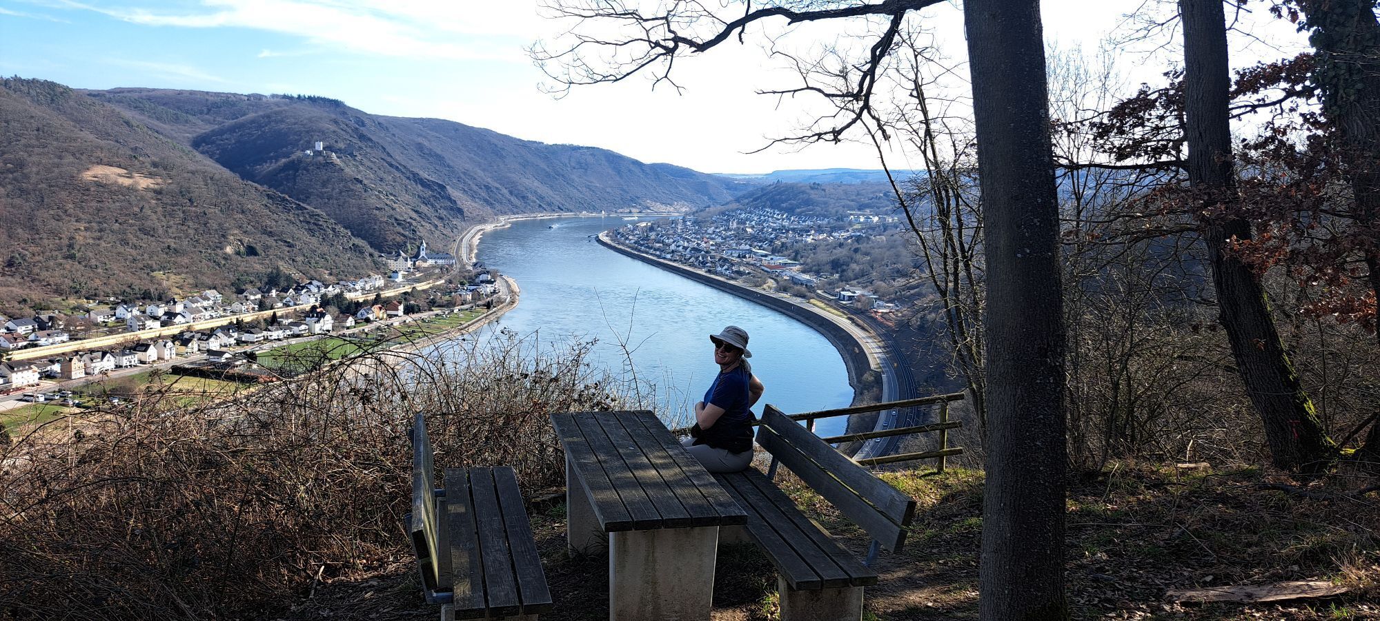
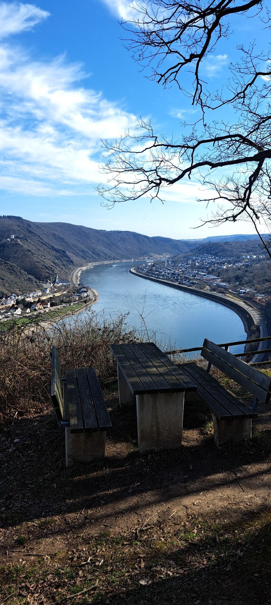
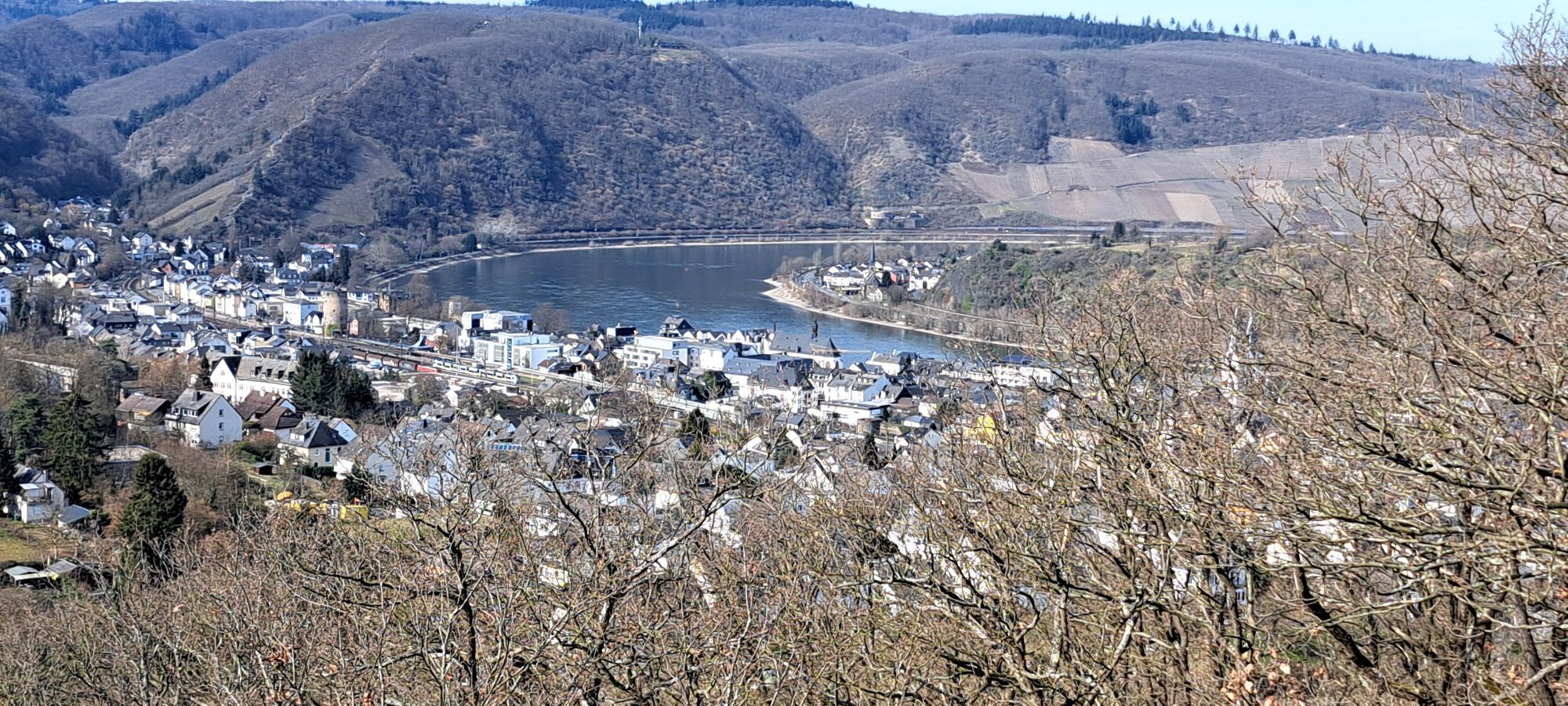
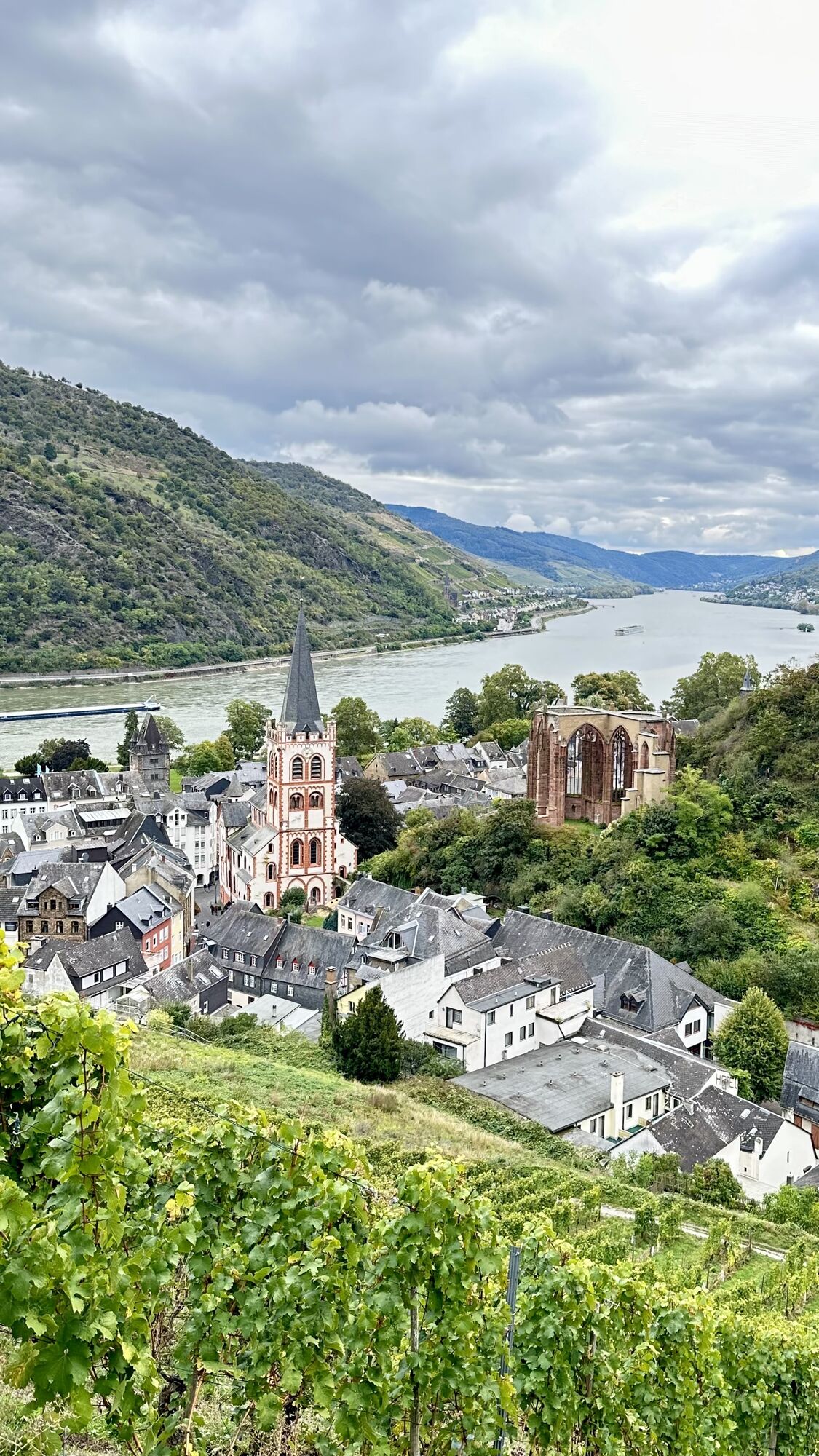
120 hiking kilometers through the unique and historic landscape of the UNESCO World Heritage flank the 67 km Rhine course between the mouth of the Nahe near Bingen and the Deutsches Eck in Koblenz. The...
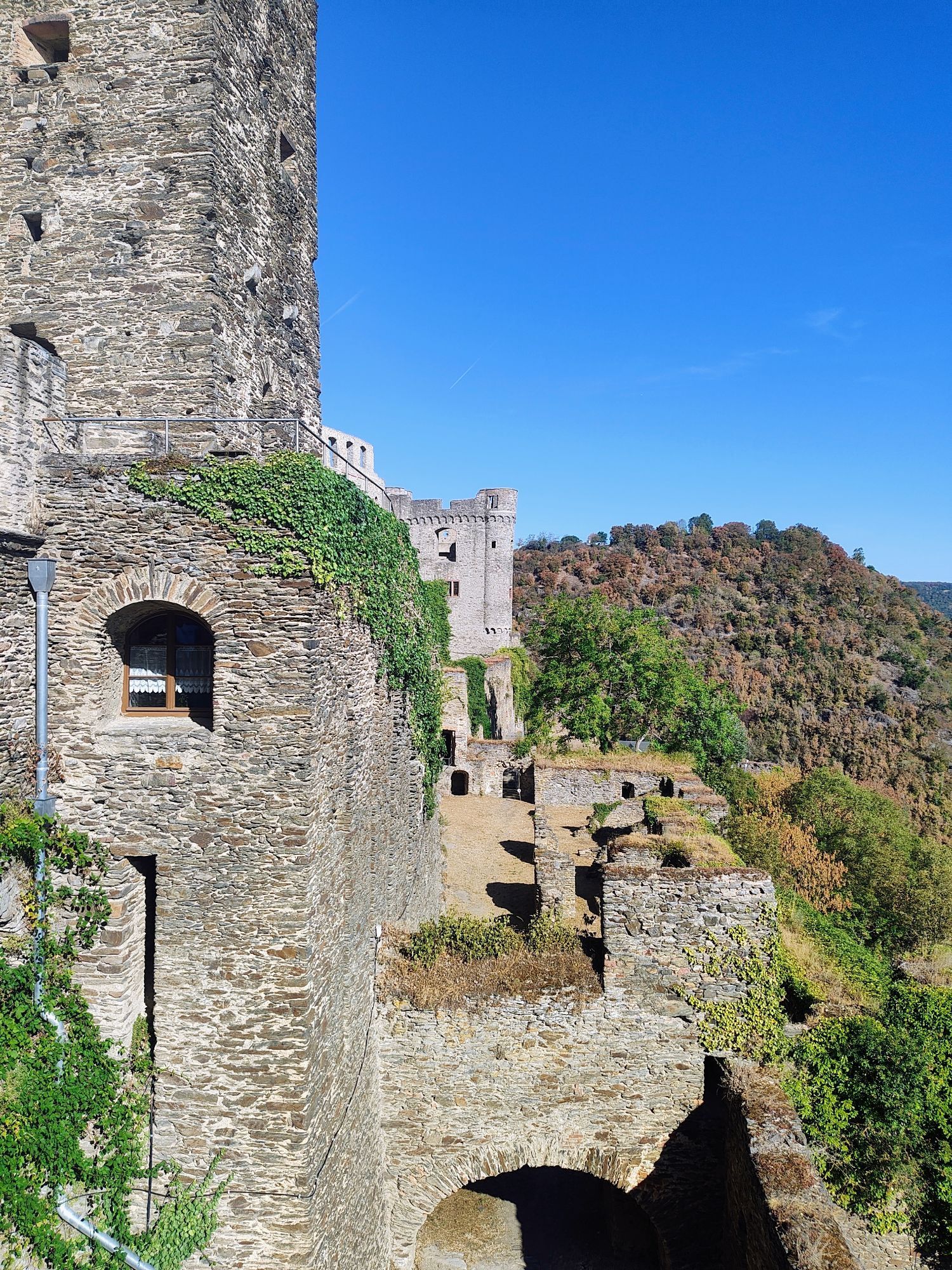
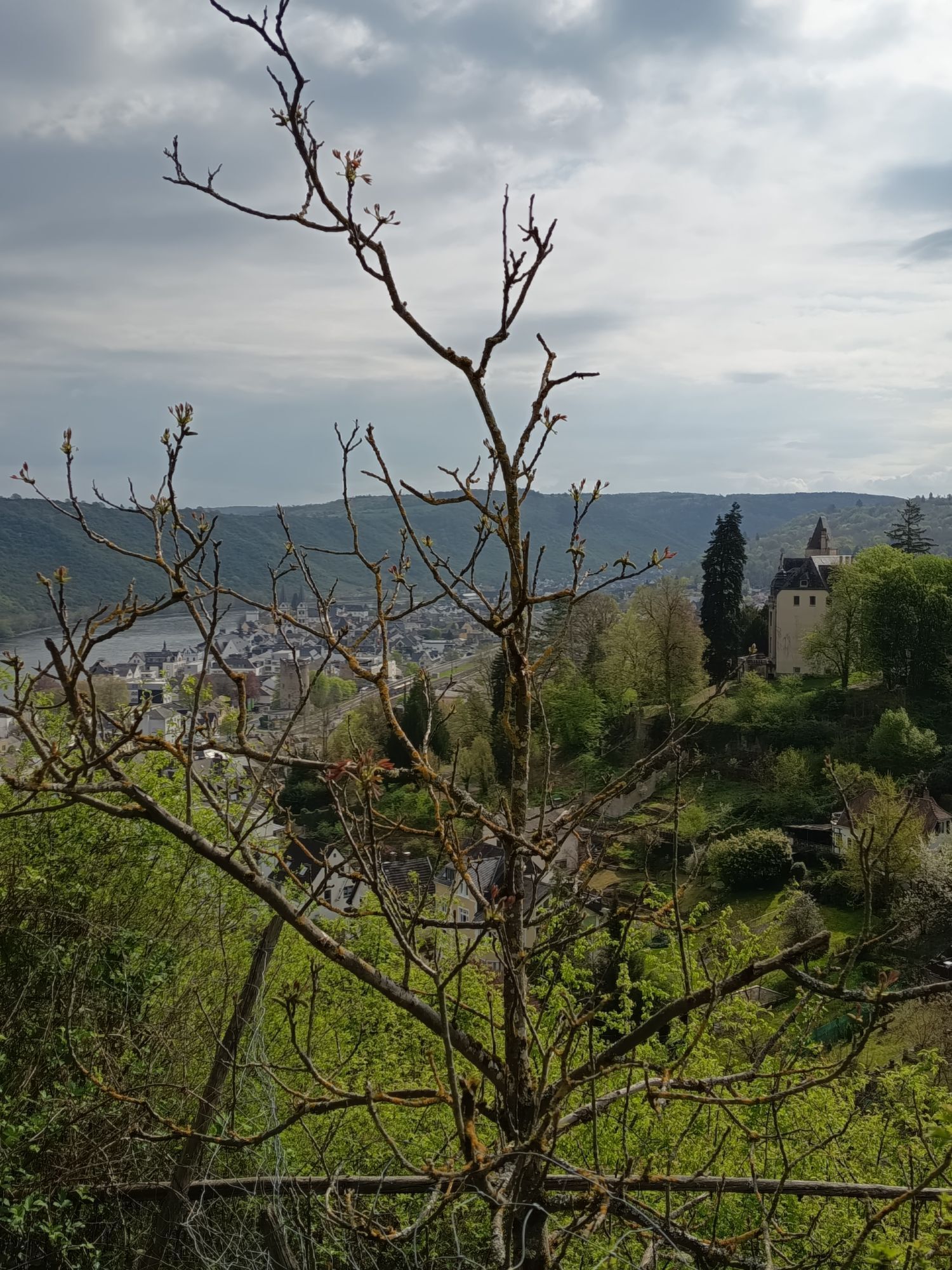
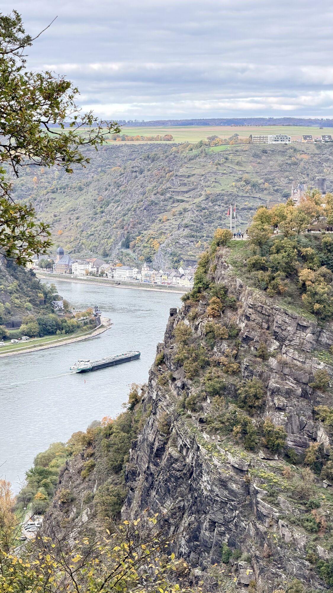
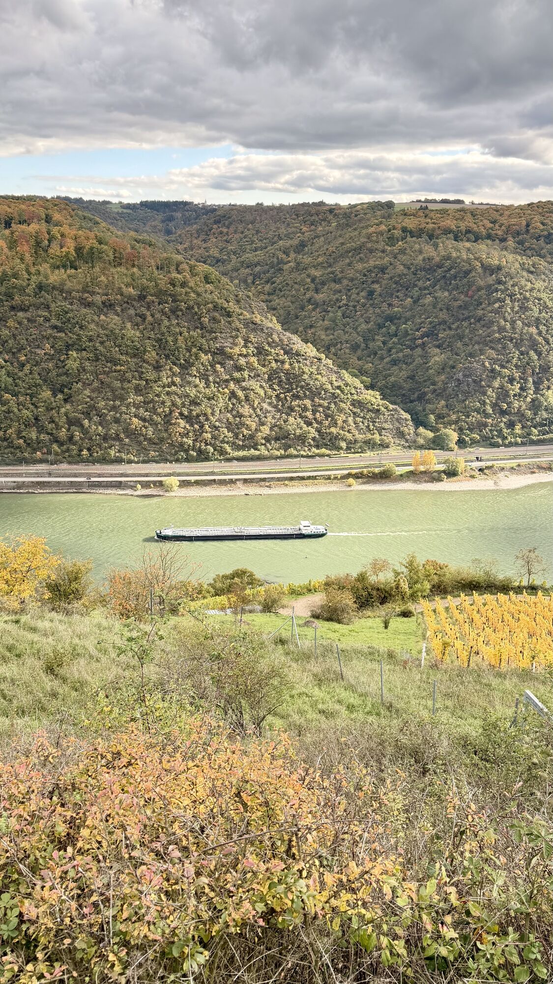
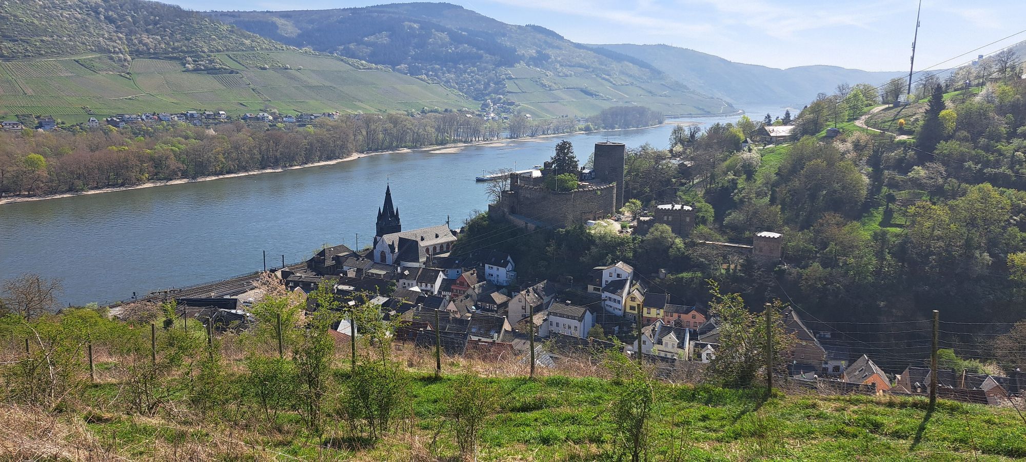
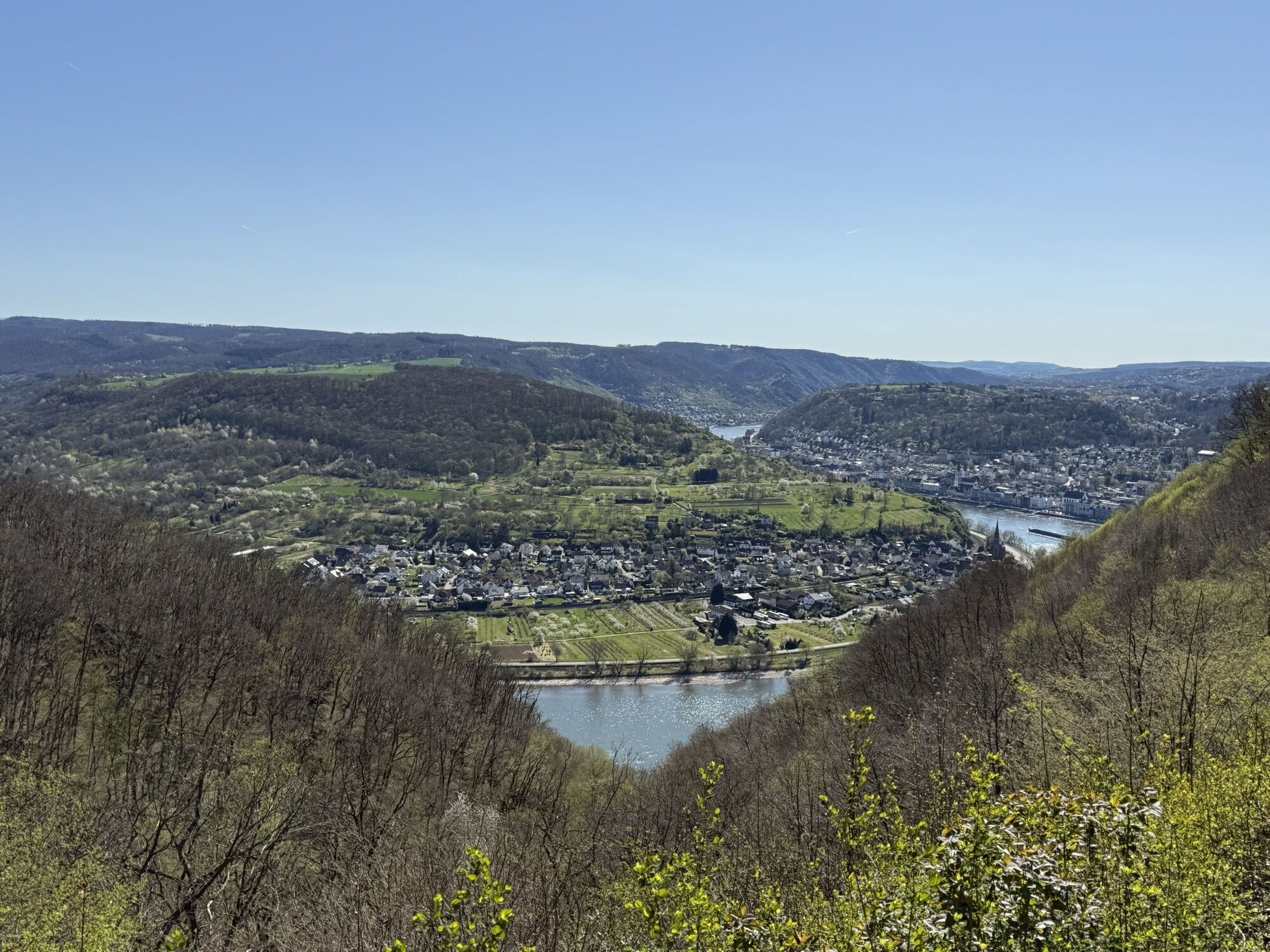
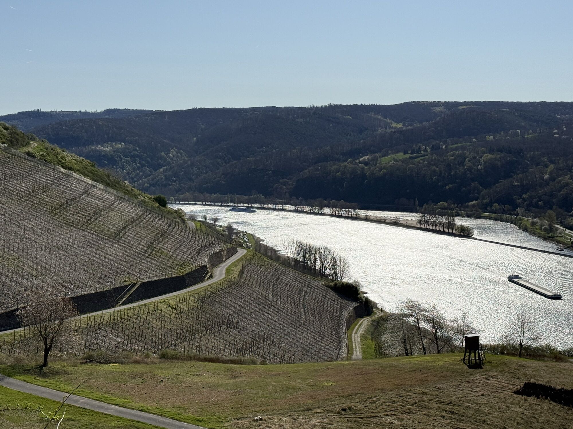
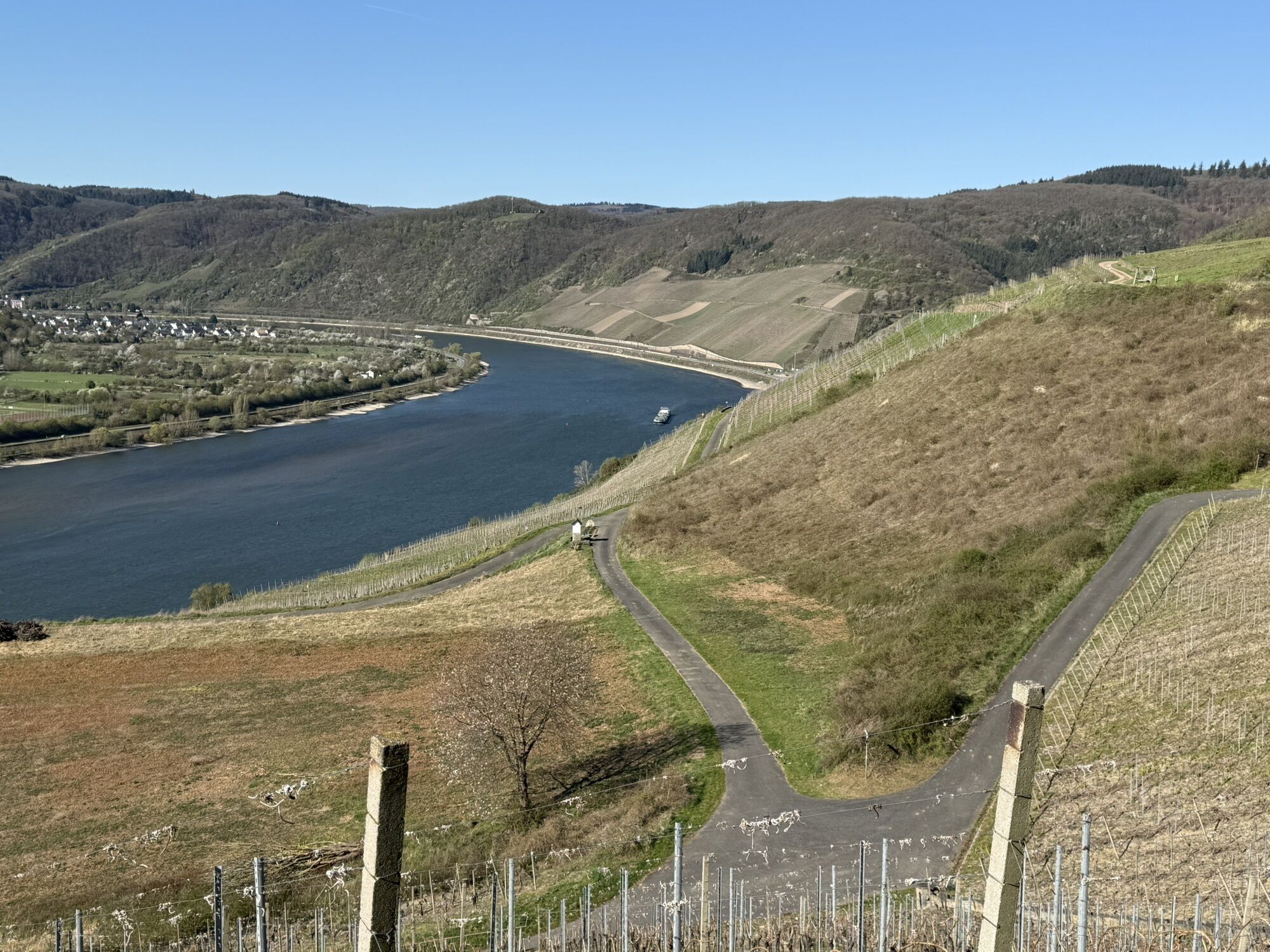
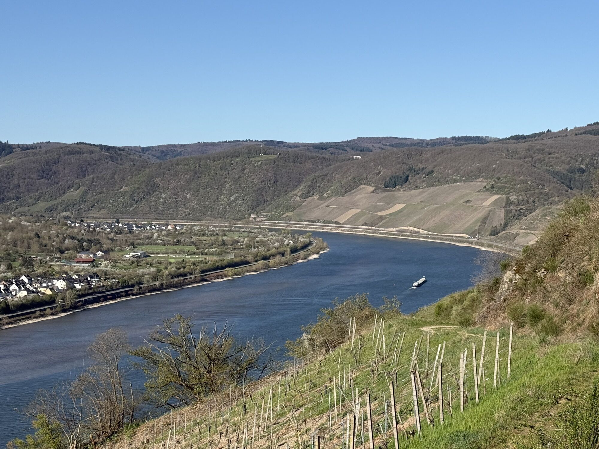
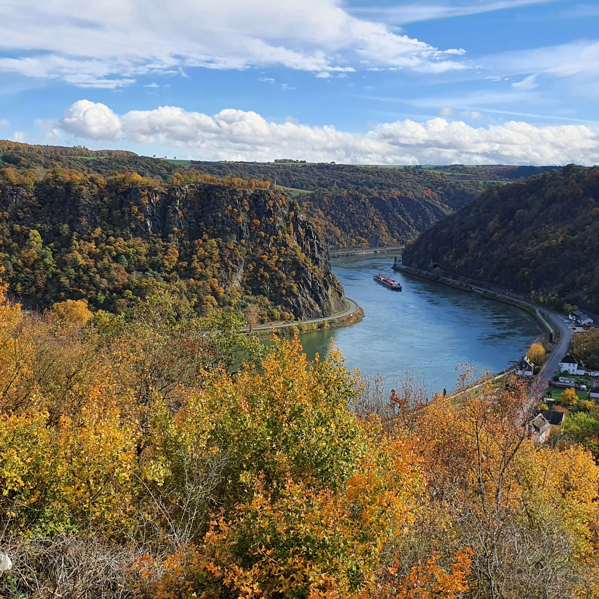
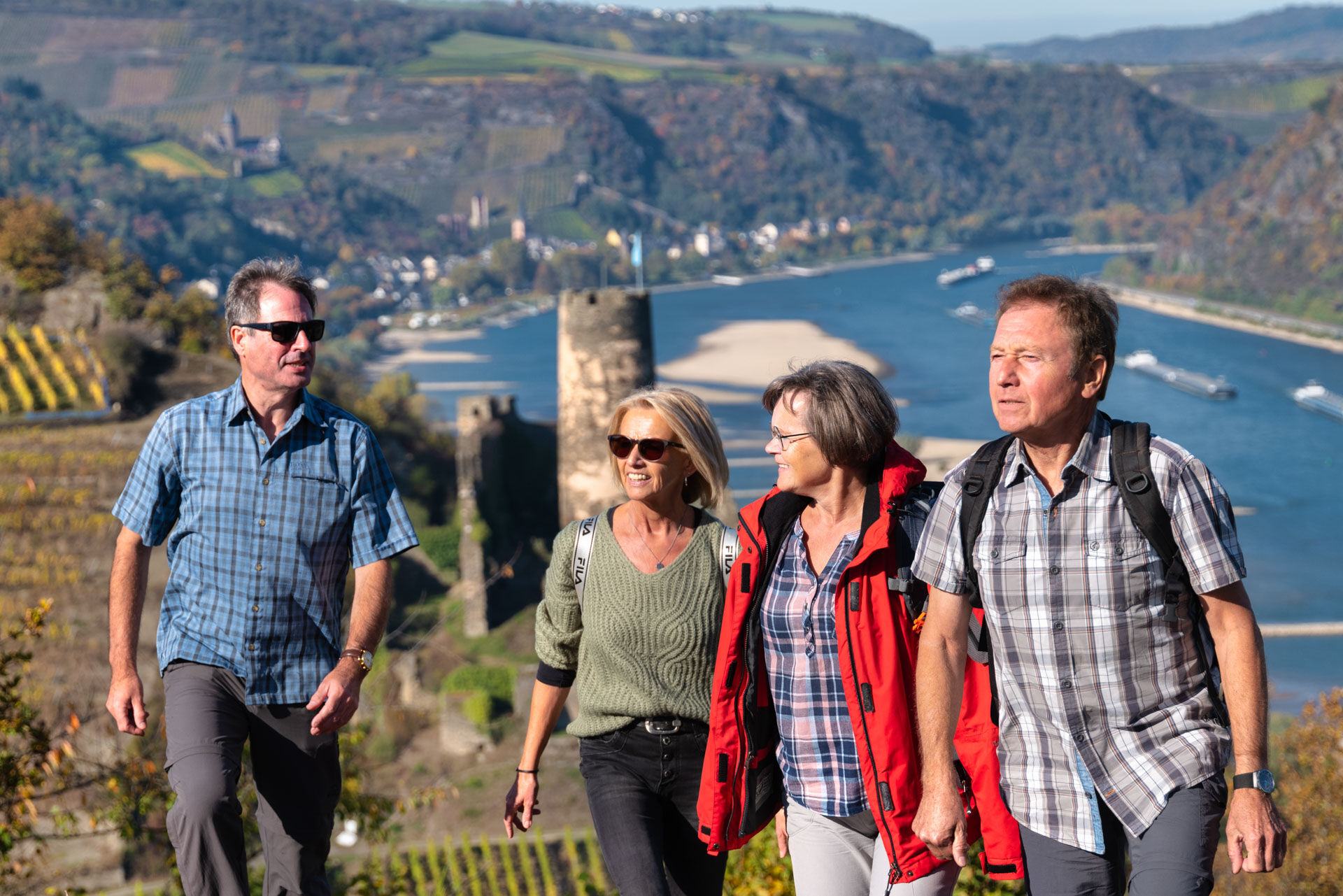
120 hiking kilometers through the unique and historic landscape of the UNESCO World Heritage flank the 67 km Rhine course between the mouth of the Nahe near Bingen and the Deutsches Eck in Koblenz. The World Heritage Trail leads variably along the Rhine's hillside edge and the deep-cut valleys through old deciduous forests, vineyards, but of course also over rocky terrain. There is plenty of visual contact with the Rhine and repeatedly splendid panoramas, alone because of the more than 40 castles and ruins lining the path, not to mention the view of the legendary Loreley or the largest Rhine bend near Boppard.
In 8 suggested daily stages with different demands on condition and surefootedness, the hiker also covers 4000 m of elevation. Thanks to the comfortable train connections in the Rhine Valley, all daily stages are variable and individually plannable, both as linear routes and as hikes from a fixed base.

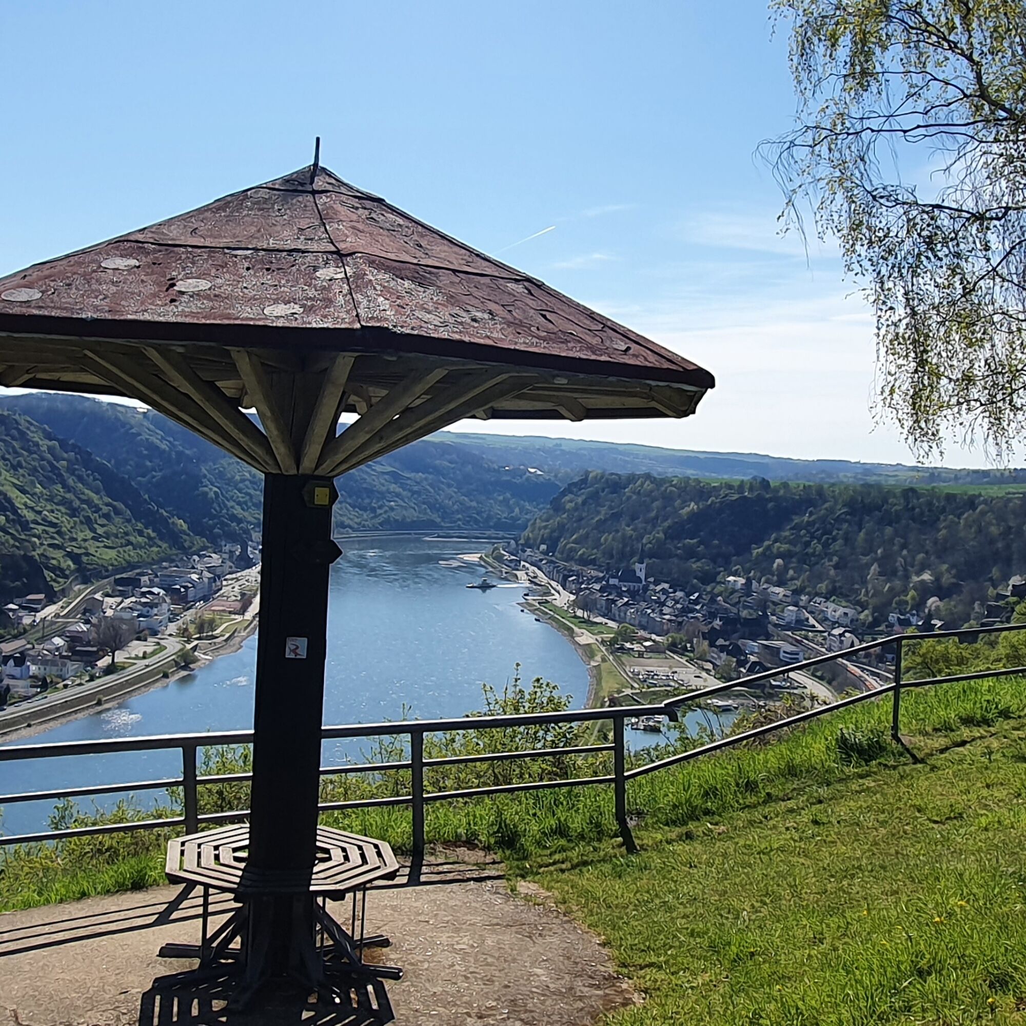
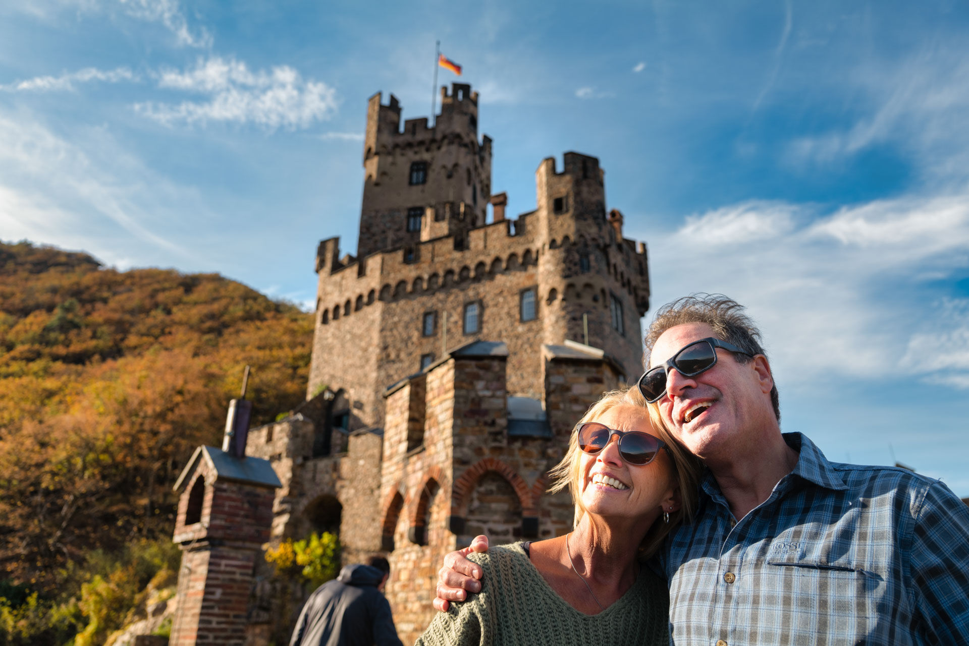
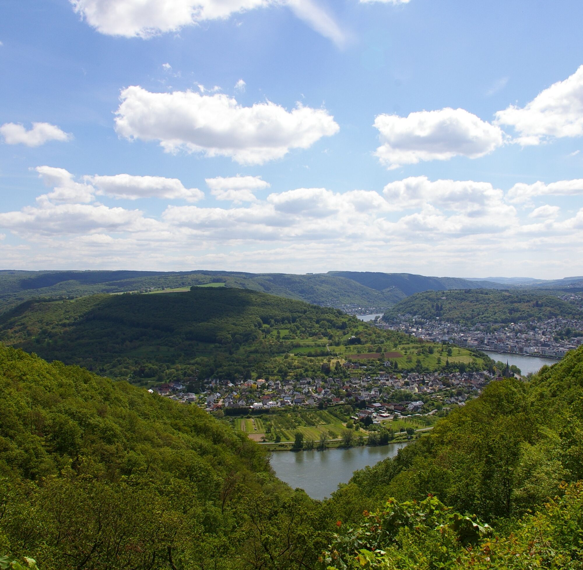
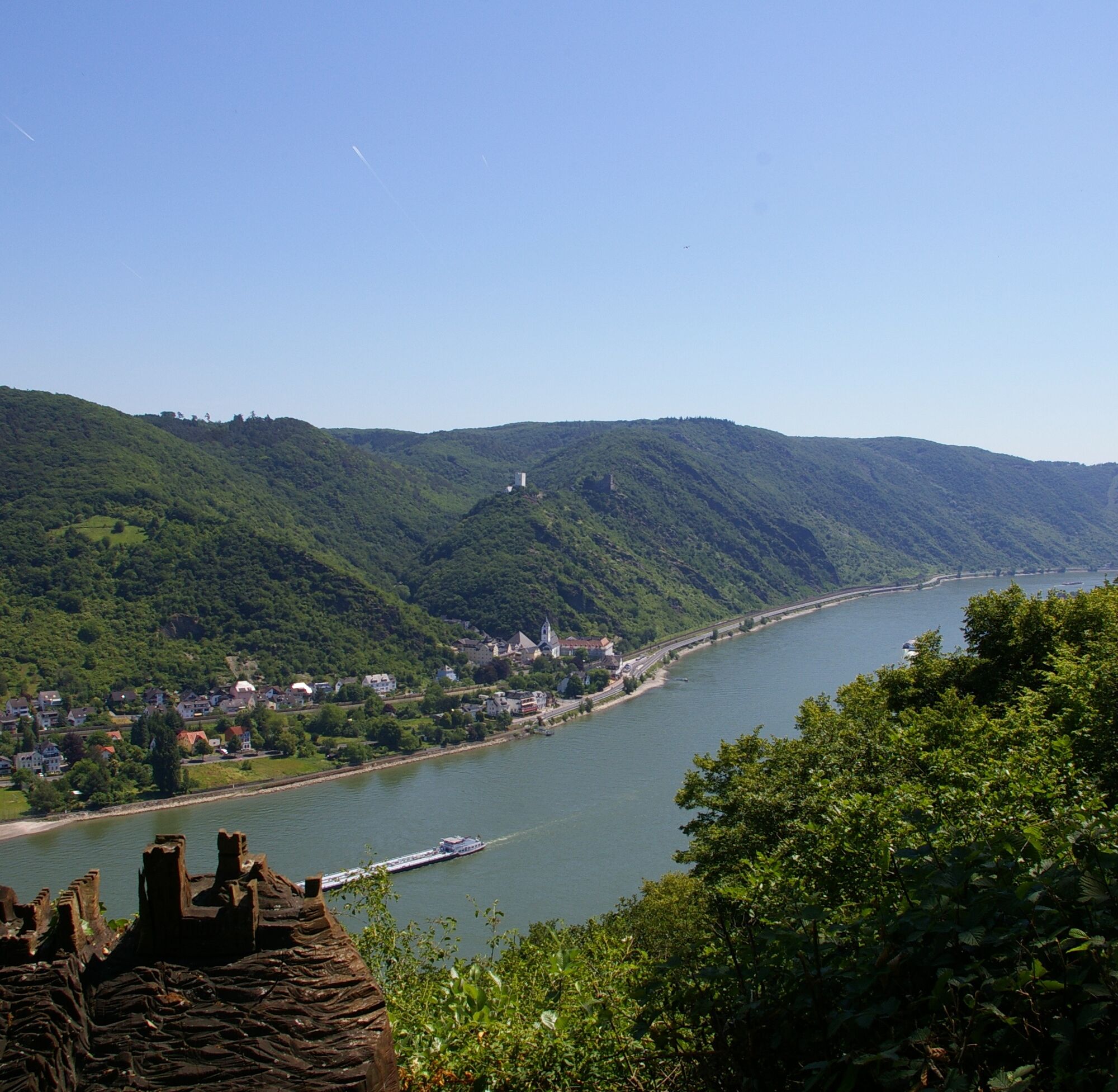
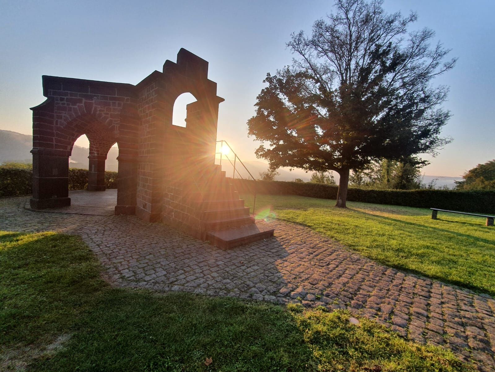
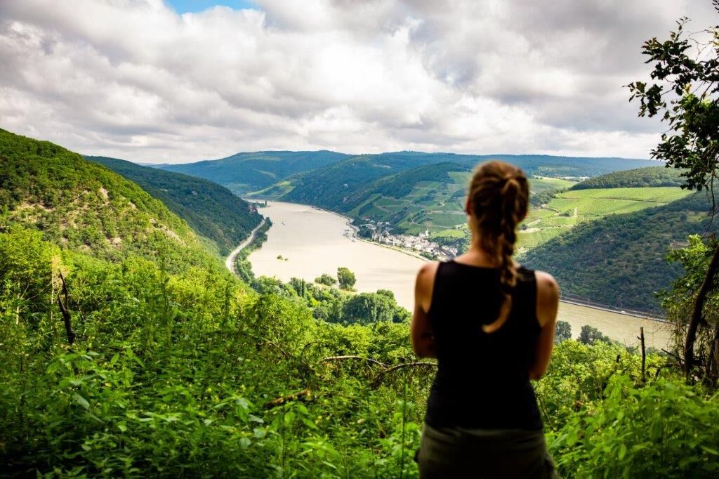
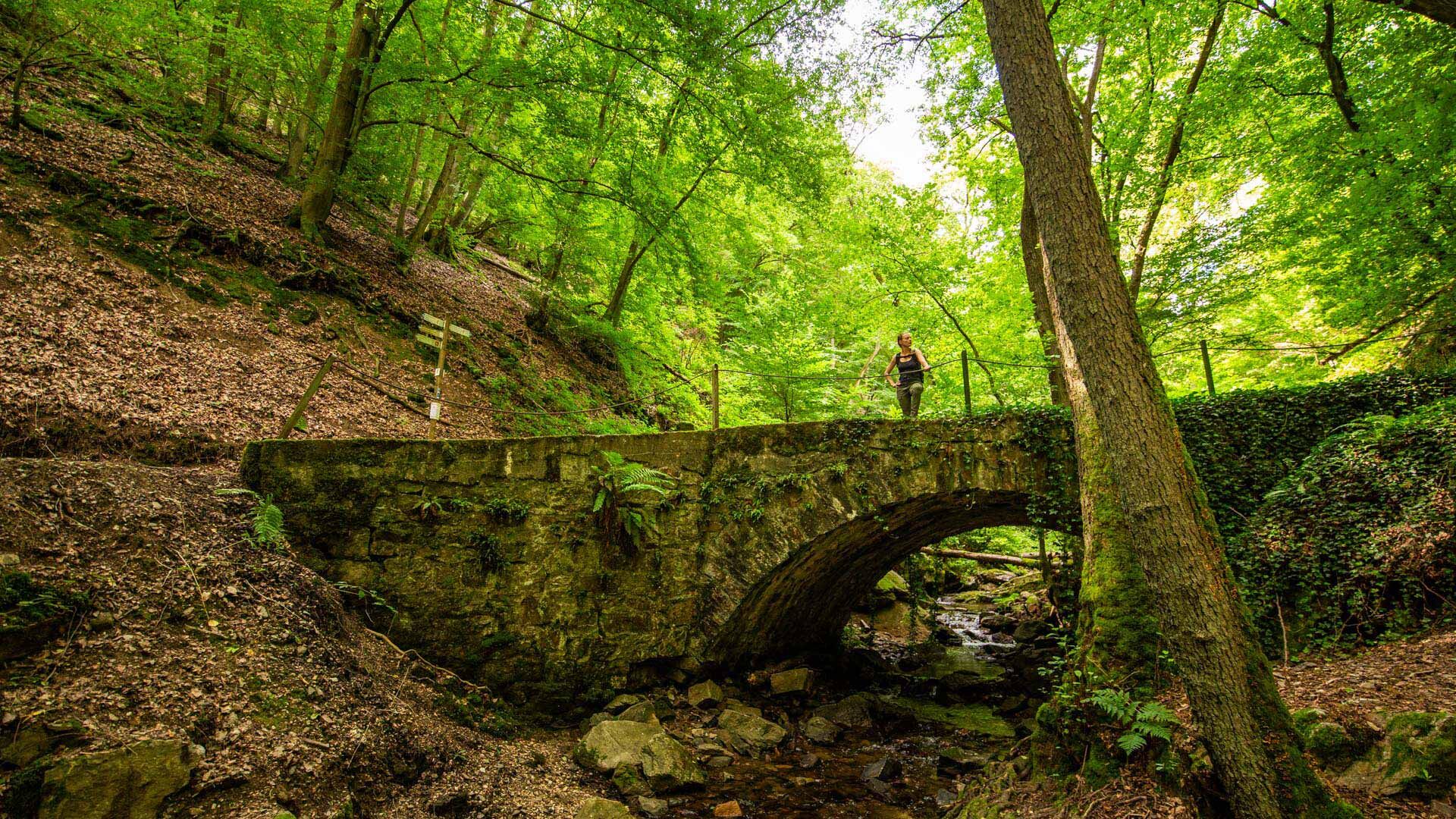

In June 2002, the unique cultural landscape of the Upper Middle Rhine Valley was added to the UNESCO World Heritage list. It stretches from Rhine kilometer 526 to 593 over a length of 67 km along the Rhine Gorge through the Rhenish Slate Mountains between Bingen/Rüdesheim and Koblenz.
Opened in 2022, the World Heritage Trail focuses on this prime section of the Rhine Valley – not least with regard to the BUGA 2029.
From a sporting perspective, there are 120 km of footpath and almost 4000 m of elevation change between the start in Bingen at the mouth of the Nahe and Laubach in Koblenz, directly below the Rittersturz, the historic site that many associate with the conference of the same name in 1948, which was significant for the founding of a West German state.
Impressive and varied
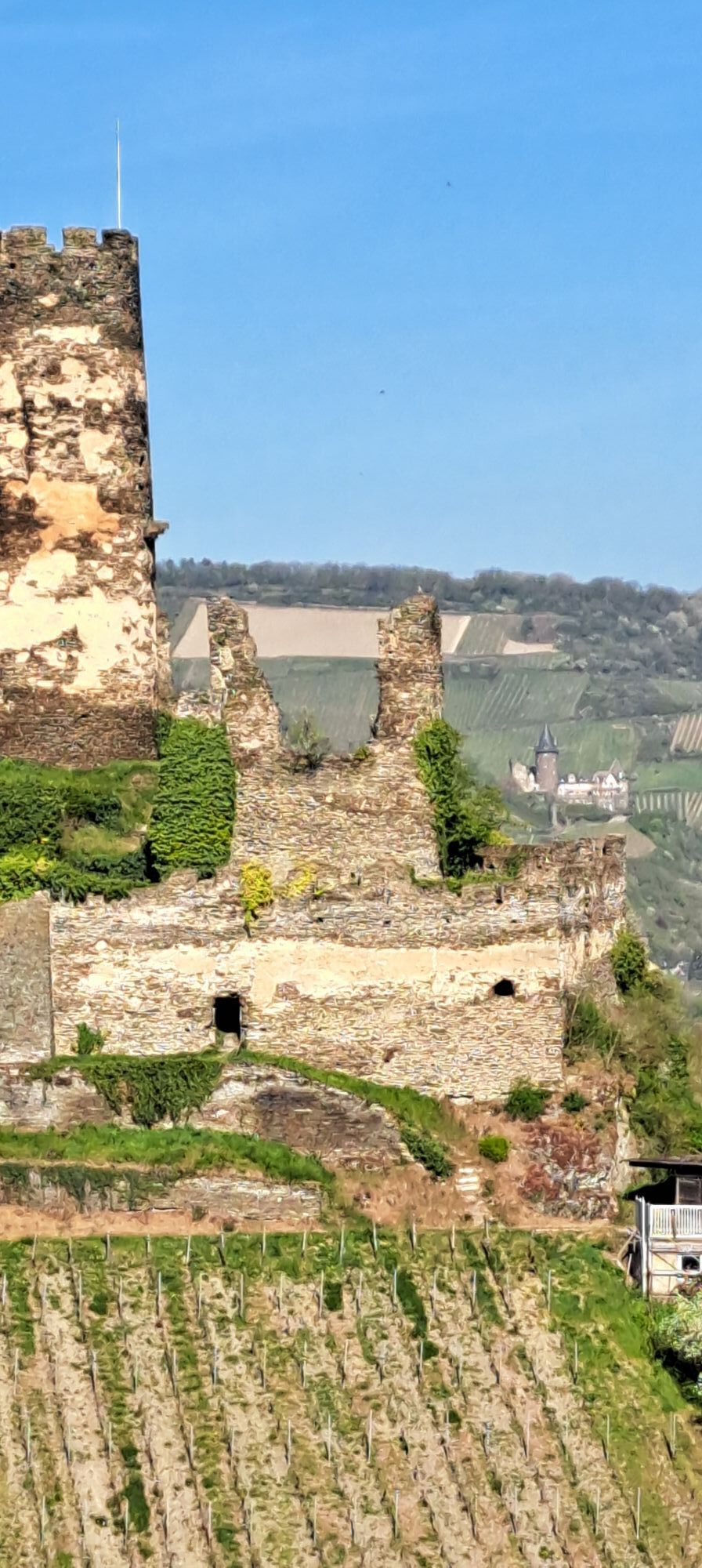
No fewer than 40 castles and ruins are to be highlighted, the left-Rhine ones almost up close, the right-Rhine ones through ever spectacular views and panoramas, especially of the legendary Loreley rock or the Niederwald Monument right at the beginning. Old and impressive deciduous forest stands near Bingen, Boppard, and Koblenz are also worth mentioning, as are the numerous vineyards the hike passes through, including the Boppard Hamm at the largest Rhine bend.
Individually plannable
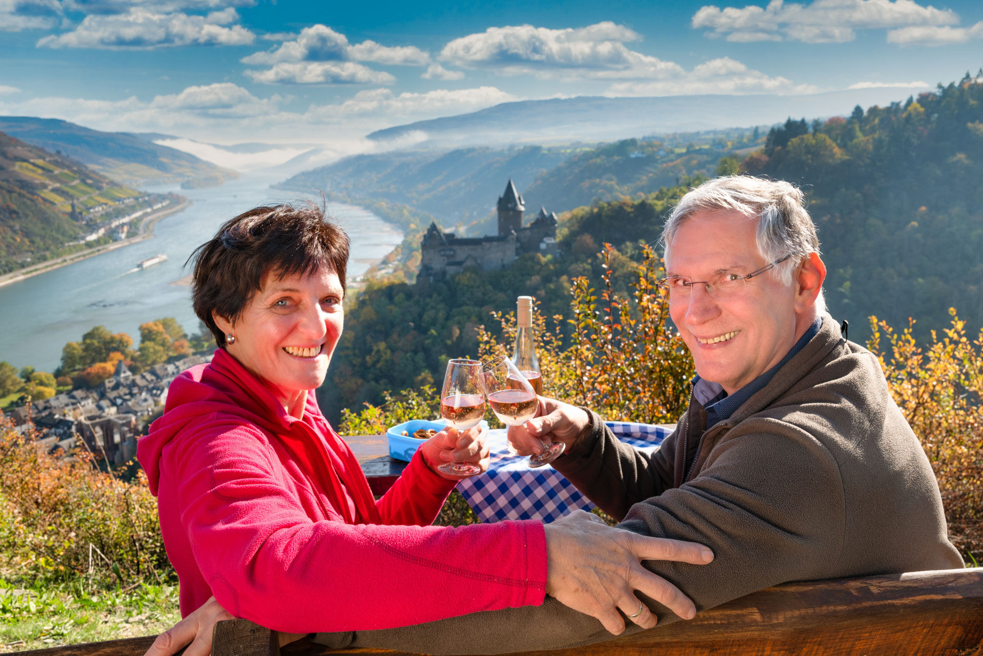
Some see it more from a sporting perspective, others want to get to know gastronomy and sights more closely – thanks to the comfortable train connections of the numerous Rhine towns, the stages can be planned individually, both as a linear route and as a hike with a fixed base.
Hiking boots laced up – let's go!!!
Ano
Backpack with day provisions, sturdy footwear, and also the free Rhineland-Palatinate Experience App for route planning
There are repeatedly narrow paths. Surefootedness is a prerequisite.
All start and destination towns can be reached via the B9 on the left Rhine bank:
Highway:
Bingen: A 60 exit Bingen-East
Bacharach: A 61 exit Rheinböllen
St. Goar: A 61 exit Emmelshausen
Oberwesel: A 61 exit Laudert
Hirzenach: A 61 exit Emmelshausen
Boppard: A 61 exit Boppard-Buchholz
Rhens: A 61 exit Paffenheck
Koblenz: A 61, A 48
Since on the left-Rhine route almost every town has a train station, the routes can be planned individually. Hiking from a fixed base is therefore also very well possible.
For orientation, the travel times between the individual stations with the regional train are as follows:
Bingen HbF - Trechtingshausen: 4 min.
Trechtingshausen - Niederheimbach: 4 min.
Niederheimbach - Bacharach: 3 min.
Bacharach - Oberwesel: 4 min.
Oberwesel - St. Goar: 6 min.
St. Goar - Hirzenach: 4 min.
Hirzenach - Bad Salzig: 3 min.
Bad Salzig - Boppard: 4 min.
Boppard HbF - Spay: 5 min.
Spay - Rhens: 3 min.
Rhens - Koblenz HbF: 7 min.
Bingen HbF - Koblenz HbF: 48 min.
Bingen: Hindenburganlage, City-Center Bingen
Bacharach: At the B9 Rhine shore
Oberwesel: B9 city wall and Rhine shore
St. Goar: At the B9 Rhine shore
Hirzenach: Rheinstraße
Boppard: Marienberg parking deck, Remigiusplatz Mühltal
Information about the Upper Middle Rhine Valley World Heritage
Since almost every town has a train station, the routes can be planned individually. Further information under Arrival.

Webové kamery z prohlídky

Oblíbené prohlídky v okolí
- 4.7
Langhalsweg Osterspai
středníTuristika 7.50 km - 4.8
Traumschleife Mittelrhein
heavyTuristika 14.7 km - 5.0
Kaub - Burg Herzogenstein - Spitznack - Hasenberg
heavydálková pěší trasa 22.1 km - 4.6
Panorama Trail St. Goar
středníTuristika 8.47 km - 4.7
Mittelrheinsteig Boppard #LL2ROM V09
heavyTuristika 5.01 km - 4.3
Boppard - Restaurant Cafe Vierseenblick - GedeonsEck
heavyTuristika 4.99 km - 4.7
Schessels Beersche
středníTuristika 5.44 km - 3.7
Traumschleifchen Baybachquellen
světloTuristika 6.22 km - 4.3
Dream loop Werlauer Pilz
světloTuristika 5.60 km - 5.0
Traumschleifchen Pfalzblick
světloTuristika 5.68 km
Pěší turistika a stopování


Nenechte si ujít nabídky a inspiraci pro vaši příští dovolenou
Vaše e-mailová adresa byl přidán do poštovního seznamu.


