


Plan des Noves
"Just 10 minutes drive from the city center of Vence, Plan Noves, Natural Departmental Park, will leave you with the memory of an unforgettable outdoor experience. This exceptional natural heritage will...
"Just 10 minutes drive from the city center of Vence, Plan Noves, Natural Departmental Park, will leave you with the memory of an unforgettable outdoor experience. This exceptional natural heritage will certainly give you the desire to come back in any season to recharge your batteries. " Florent Bosco - OT from Vence

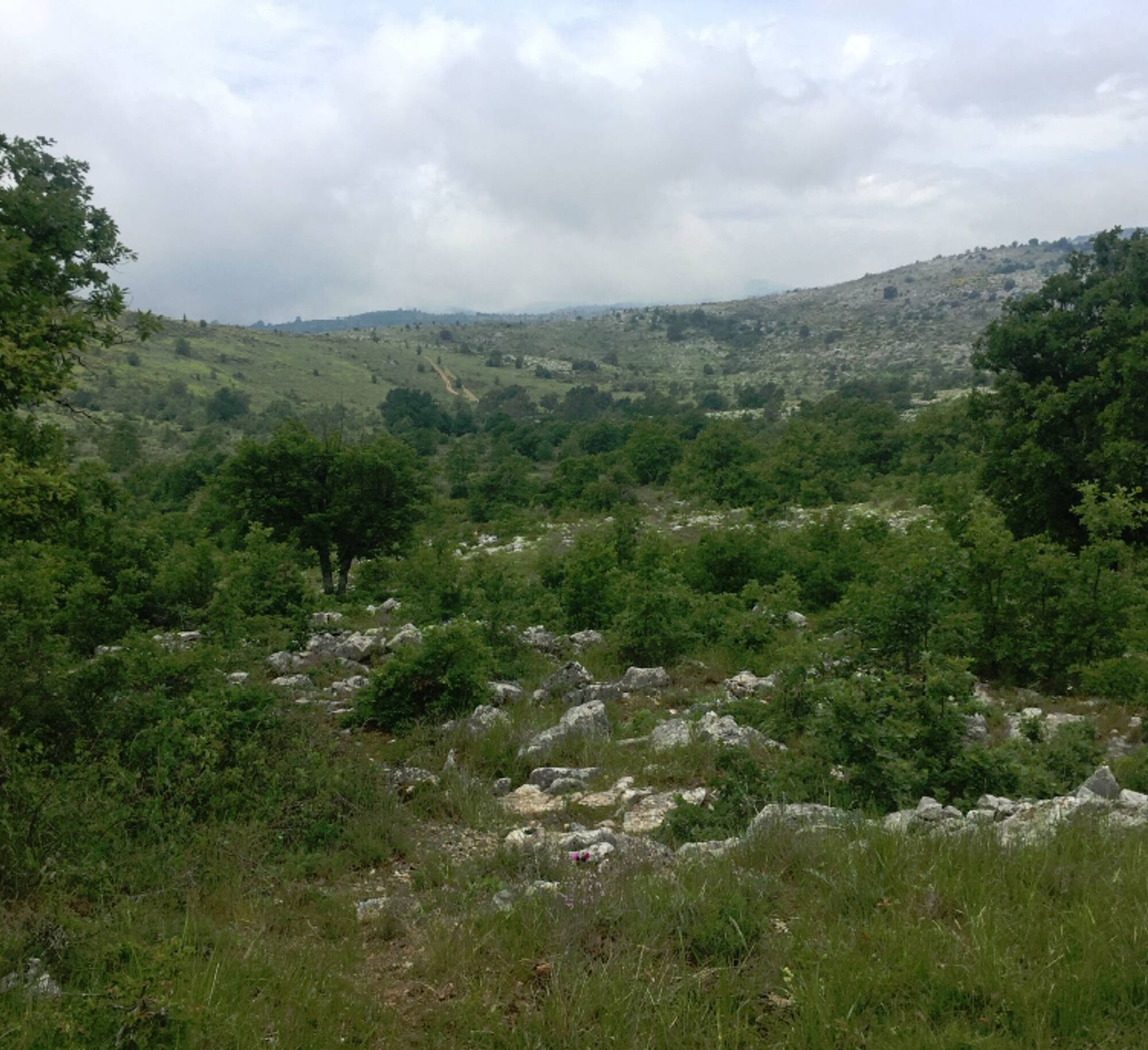
From the Plan des Noves car park, go down slightly on the GR®51 until you reach the marker 65.1- Take the path on the left to follow the circuit of Plan des Noves, until the marker 65a.2- Turn right on the path (PR), 400 m further to the intersection turn left again on the path (PR) to gradually reach the ascent to the ridge. Go past the remarkable ruined sheepfold and continue 500 m to the crossroads.3- Go down on the right on the path of "Mangia Pan" to find a track to reach the intersection.4- Take the path on the right to return to point 1. Take the path used to go back to the Plan des Noves car park.
Easy
Oblíbené prohlídky v okolí
-
The "Route des Paysages" between the coast and the middle country of Nice
světloMotorrad 147.7 km -
Grande Randonnée® de Pays: Lou Camin Nissart
heavydálková pěší trasa 44.7 km -
VTT FFC circuit no. 7 - The Olive Trees Loop
světloMountainbike 8.09 km -
FFC mountain bike circuit no. 1: The Mont Chauve route
středníMountainbike 11 km -
FFC MTB route no. 25: The summit of Broc
středníMountainbike 18.9 km -
MTB FFC circuit no. 50: le Calamel
středníMountainbike 18.0 km -
Nice - Aspremont / Pagarine Route (stage 1)
středníTuristika 15.8 km -
FFC bike circuit no. 5: on the Tour De France routes (big loop)
středníSilniční kolo 74.2 km -
Pic de Courmettes, Frankreich
heavyTuristika 6.14 km -
FFC cycling circuit No. 12: Tour of the vineyards of Bellet
světloSilniční kolo 32.0 km
Pěší turistika a stopování


Nenechte si ujít nabídky a inspiraci pro vaši příští dovolenou
Vaše e-mailová adresa byl přidán do poštovního seznamu.