


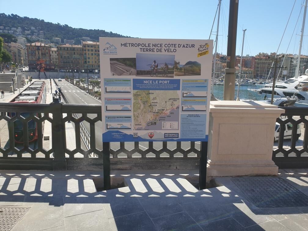
FFC bike circuit no. 5: on the Tour De France routes (big loop)
Úroveň obtížnosti: 4

In its first part, the circuit strictly follows the route of the last lap of the first stage of the 2020 Tour de France up to the entrance of Saint-Martin du Var. These hilly roads are winding and break...
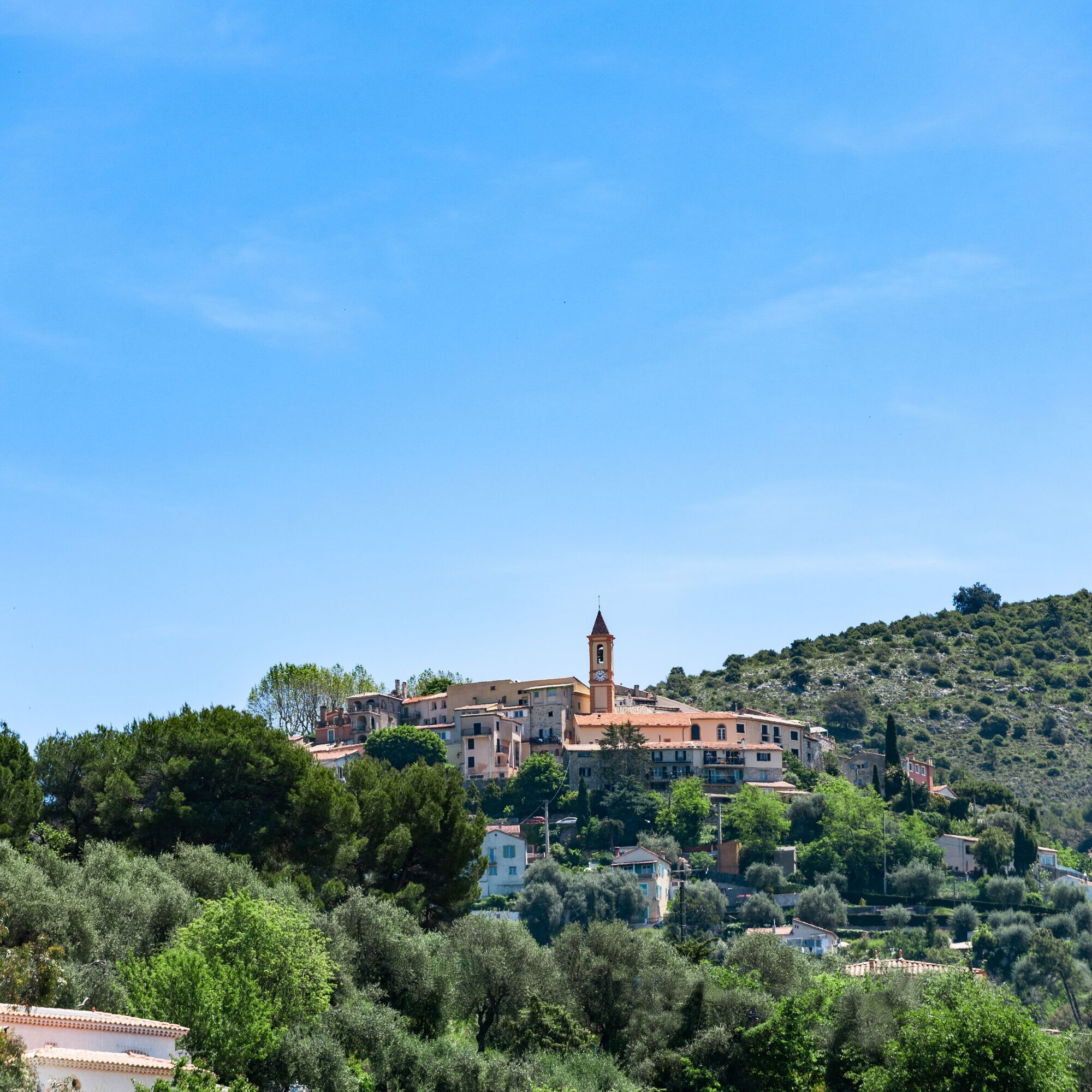
In its first part, the circuit strictly follows the route of the last lap of the first stage of the 2020 Tour de France up to the entrance of Saint-Martin du Var. These hilly roads are winding and break the monotony of straight and flat roads. They let us discover the small villages near Nice. Aspremont, Tourrette-Levens, Levens follow one another and delight cyclists’ eyes.
On the descent to the plain, after a bend rises La Roquette-sur-Var, perched at 380 m altitude. A short detour through the center of this village is recommended to fully enjoy an exceptional viewpoint from the square where a splendid belvedere dominates the valleys of the Var and the Estéron at their confluence. From the Mercantour to the sea visible in the distance, the view is breathtaking and hints at the return to Nice via the Var plain.
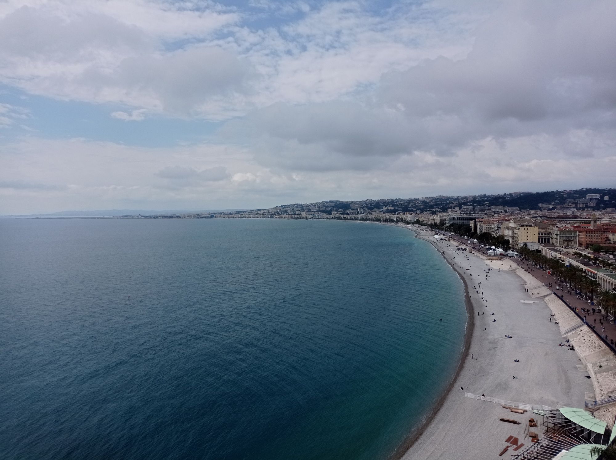
For the return to Nice, the safety of cyclists will be prioritized. In this spirit, the cycle path on the right bank of the Var will be preferred to the main road along the left bank of the Var, used by the Tour de France riders.
The place called La Baronne marks the end of the path and forces cyclists to cross the industrial zone of Saint-Laurent du Var and its many roundabouts. On this part, it is advised to be very careful. Once you reach the Napoléon III Bridge which marks the entrance to the Nice urban area, the cycle path will bring cyclists back to their starting point at the Port of Nice along the Promenade des Anglais safely.


Ano
Ano
Before leaving:
Make sure the bike is in perfect mechanical condition, including tires and brakes Ensure the bike is properly adjusted to your morphology Wearing a helmet is strongly recommended Bring a repair kit Remember that the Highway Code applies to cyclists at all times Never ride more than two abreast and move into a single file when traffic conditions require it Respect other users as you would like to be respected Choose a route adapted to your physical abilities Inform your entourage of your itinerary Check the weather conditions A first aid kit is not essential but can be very useful Inform yourself and keep emergency phone numbers Respect the environment by not throwing food packaging on the roadside If you have to return at nightfall, make sure you can see and be seenEmergency number: 112
Nice is served by the A8 motorway "La Provençale", coming from Aix-en-Provence to the west and the border to the east.
To reach the city center, five exits have been arranged for direct access to the district of your choice:
High-speed and express trains (TGV, Corail trains) connect the Côte d’Azur to all French regions and all major European cities.
Parking near the starting point. Some parking may be paid.
4
To learn more about our destination, visit our site
Sport circuit (FFC color: red)
All outdoor activities of the Nice Côte d'Azur Metropolis are on https://outdoor.nicecotedazur.org
Webové kamery z prohlídky
Oblíbené prohlídky v okolí
-
4.8
Tour du Cap-Ferrat
středníTuristika 8.99 km -
4.0
Chemin de Nietzsche
světloTuristika 3.73 km -
5.0
Little hike at Eze: Fort de la Revère Circuit
světloTuristika 6.02 km -
Little hike in Nice: the Mont Boron route
světloTuristika 5.13 km -
4.0
Little hike in Aspremont: Mont Chauve circuit
světloTuristika 6.49 km -
Nice - Aspremont / Pagarine Route (stage 1)
středníTuristika 15.8 km -
Grande Randonnée® de Pays: Lou Camin Nissart
heavydálková pěší trasa 44.7 km -
5.0
Goldtoni - Alpenbogen A082 Drap-Nizza
světlodálková pěší trasa 26.4 km -
FFC bike circuit no. 8: the 70.3 circuit (Half IRONMAN)
středníSilniční kolo 92.8 km -
FFC bike route no. 7: Tour of Vence
světloSilniční kolo 57.7 km
Pěší turistika a stopování


Nenechte si ujít nabídky a inspiraci pro vaši příští dovolenou
Vaše e-mailová adresa byl přidán do poštovního seznamu.