







Climb of the Col de la Lombarde
Úroveň obtížnosti: 5
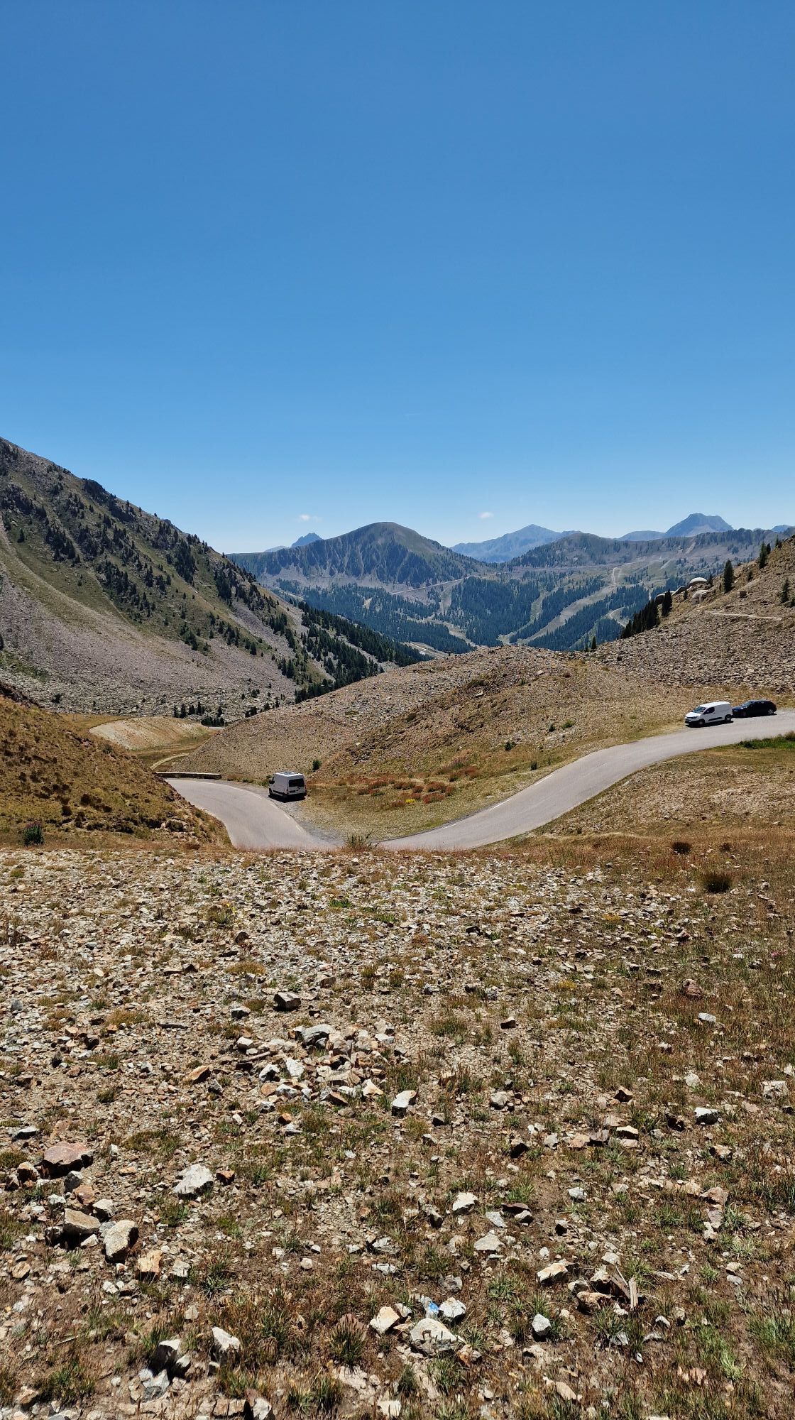
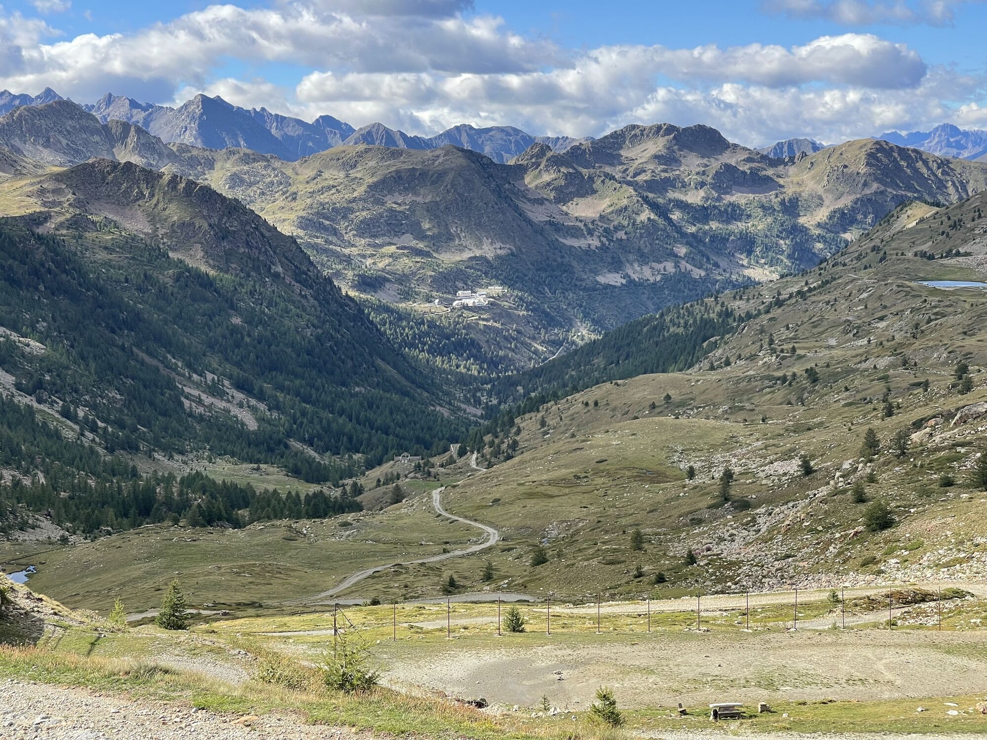
On this side, the Tour has never climbed this pass all the way to the summit. However, it was climbed for the most part during the 11th stage Serre Chevalier – Isola 2000 in 1993. The finish was set at...
On this side, the Tour has never climbed this pass all the way to the summit. However, it was climbed for the most part during the 11th stage Serre Chevalier – Isola 2000 in 1993. The finish was set at the winter sports station of the Metropolis Nice Côte d'Azur, located at km 16.5 of the climb, at 1,900 m altitude.
The Swiss Tony Rominger won there, the yellow jersey was worn by the Spaniard Miguel Indurain
All outdoor activities of the Metropolis Nice Côte d'Azur are on https://outdoor.nicecotedazur.org

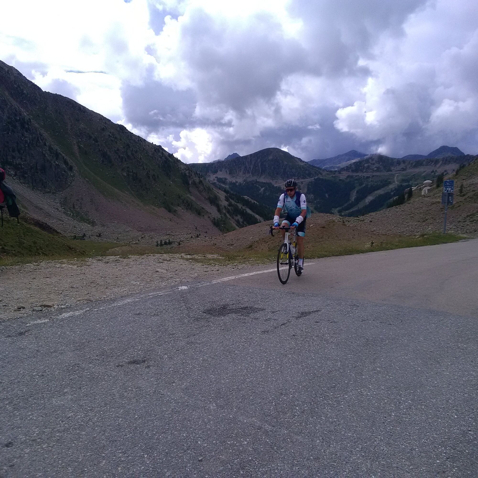
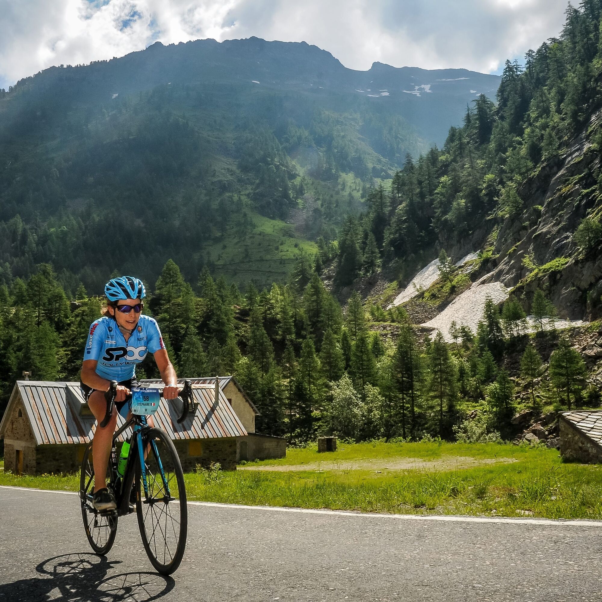

From Isola Village, follow the RM 97 to the summit.
Isola 2000 will be crossed around km 16.5
Ano
Ano
-Wear a certified helmet
-Check the condition of your tires
-Take a repair kit in case of puncture
-Prefer at least a flashing LED light to fix on the seat post to be seen by drivers, especially in small tunnels
- Remember to bring a windbreaker or raincoat for the descent of the pass
BASIC RULES
Choose a climb that suits your physical condition, do not overestimate your abilitiesCheck the mountain weather and pass openings before leaving
Make sure to carry an ID and an emergency phone number
Respect the environment
Control your speed during the descent
BEWARE OF MARMOTS
On the descent, marmot crossings are signaled. Control your speed and stay alert
Nice and its Metropolis are served by the A8 highway "La Provençale", coming from Aix-en-Provence to the West and from the border to the East.
To reach Isola village,
Exit No. 52: Saint-Isidore
Then RM 60202 towards Digne
At the Mescla bridge, in the gorge of the same name, take the Tinée road RM 2205 towards Saint-Sauveur sur Tinée
Continue on RM 2205 up to Isola, a village located at the foot of the pass
Find the bus lines at : https://www.lignesdazur.com
A large free parking lot is open at the exit of the village heading towards Saint-Etienne-de-Tinée
5
All outdoor activities of the Metropolis Nice Côte d'Azur are on https://outdoor.nicecotedazur.org
Reserved for experienced athletes and cyclists
Webové kamery z prohlídky
Získejte přehled
Vždy živě na místě s více než 9 500 webkamerami. bergfex Jako uživatel Pro si nyní můžete zobrazit odpovídající webové kamery pro mnoho prohlídek v aplikaci prohlídky z. Můžete si tak přímo prohlédnout aktuální podmínky.
Oblíbené prohlídky v okolí
-
5.0
AVU Alta Via dei Lupi | Stage 10 Franco Remondino refuge - Valdieri thermal baths
středníTuristika 9.47 km -
1.0
Durch das Valle di rio freddo
středníTuristika 15.7 km -
5.0
Goldtoni - Alpenbogen A106 Refugio Morelli Buzzi-Refugio Malinvern
střednídálková pěší trasa 25.0 km -
5.0
Goldtoni - Alpenbogen A107 Refugio Malinvern-Strepeis
střednídálková pěší trasa 25.9 km -
FFC cycling circuit no. 33: the Tinée cycle path
světloSilniční kolo 29.4 km -
5.0
Goldtoni - Alpenbogen A079 Roya-Saint Sauveur sur Tinée
střednídálková pěší trasa 38.6 km -
5.0
Goldtoni - Alpenbogen A108 Strepeis-Sambuco
střednídálková pěší trasa 16.1 km -
Mercantour to Nice Electric Mountain Bike Route "e-bike MNCA"
středníMountainbike 236.3 km -
Snowshoe Hike Starting Point - Lombarde Pass
středníSněžnice 4.09 km -
Snowshoe Hike Starting Point - Pelevos
středníSněžnice 3.22 km
Pěší turistika a stopování


Nenechte si ujít nabídky a inspiraci pro vaši příští dovolenou
Vaše e-mailová adresa byl přidán do poštovního seznamu.





