



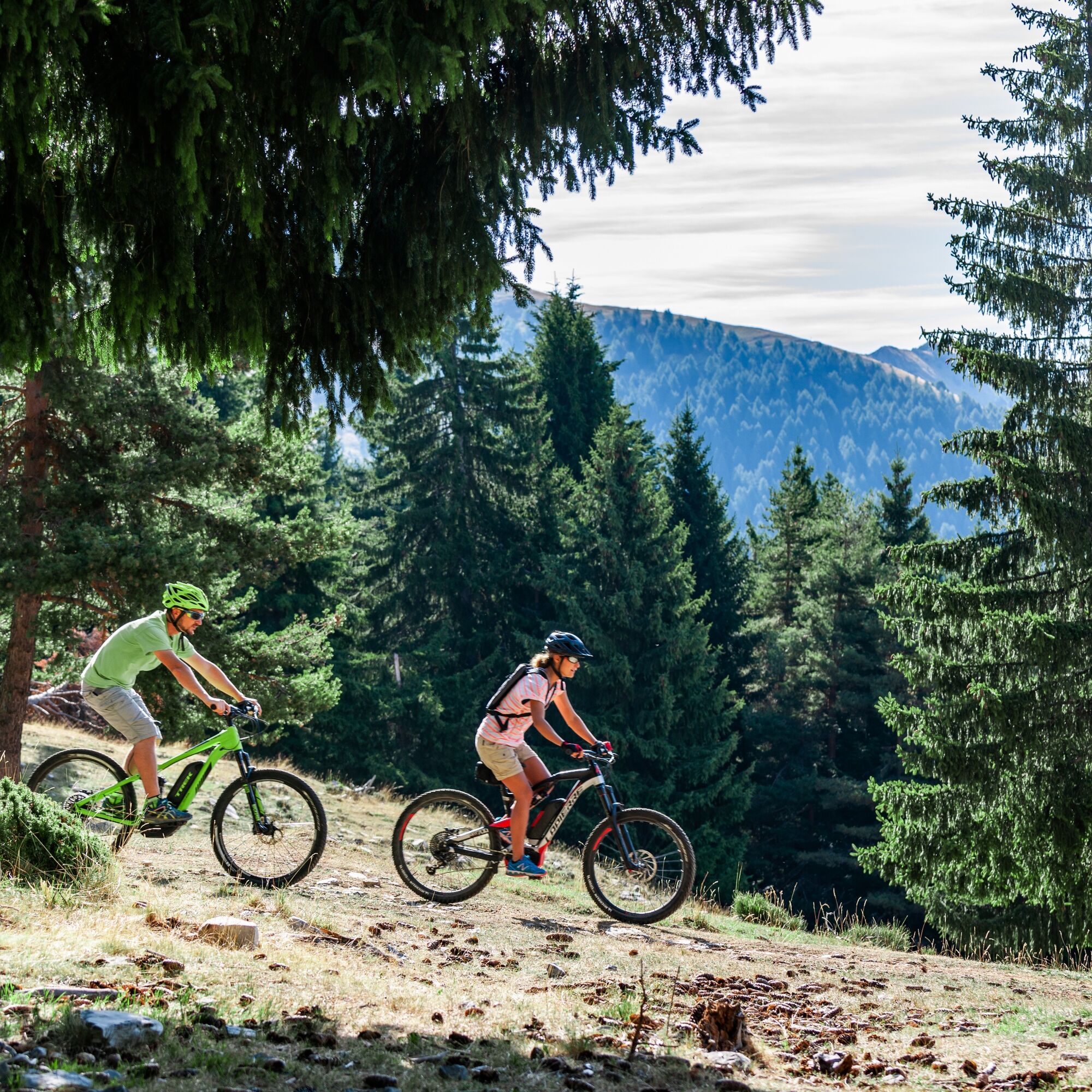
Mercantour to Nice Electric Mountain Bike Route "e-bike MNCA"

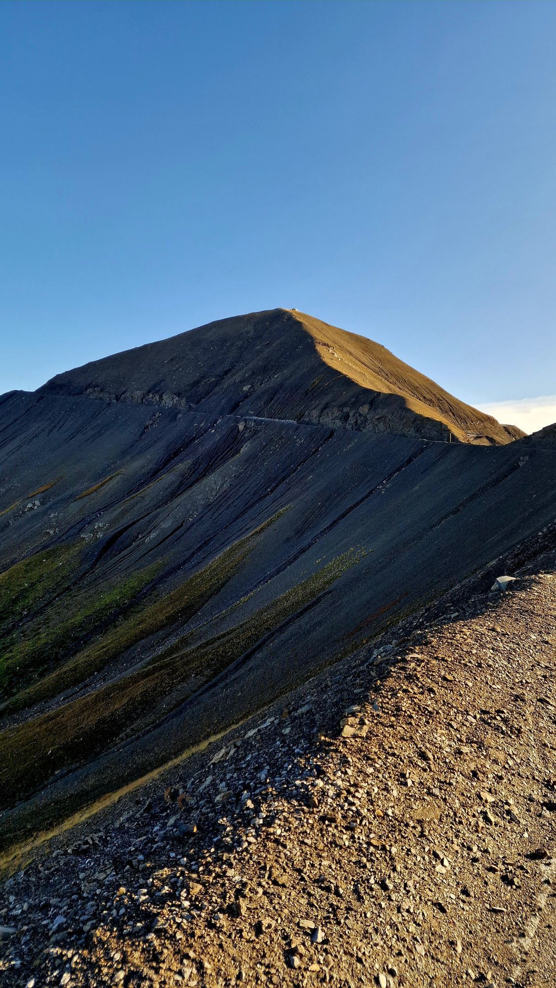
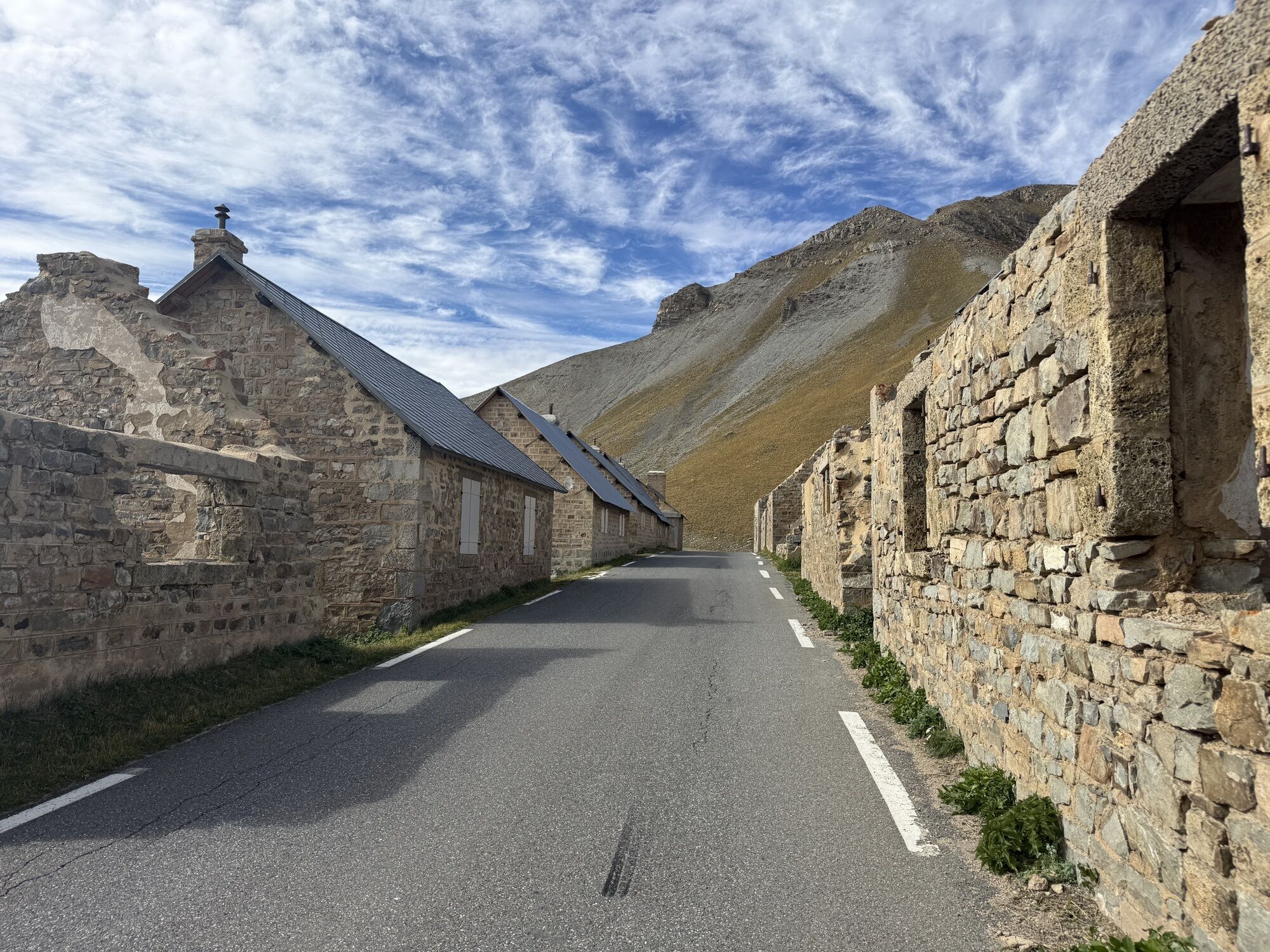
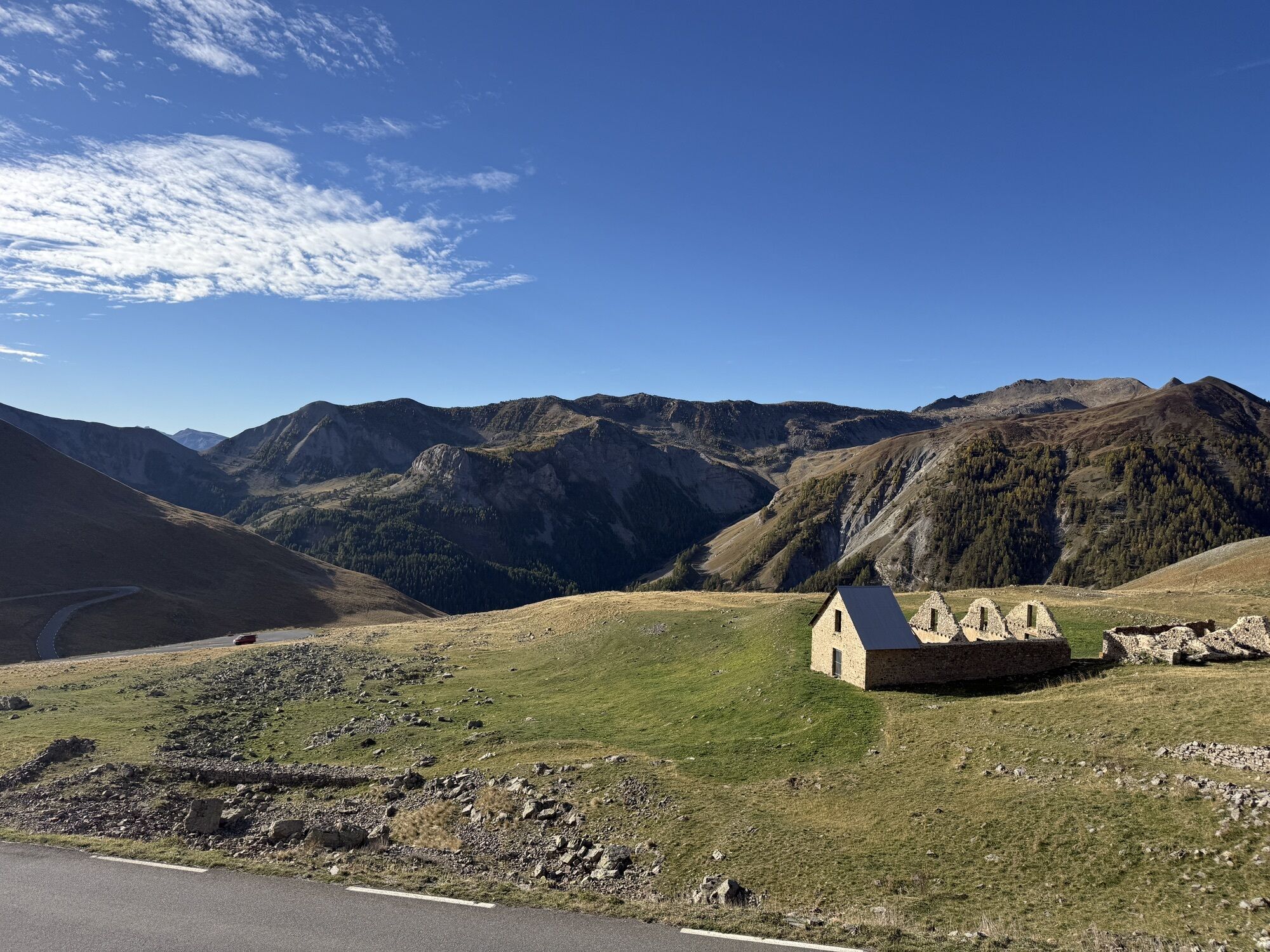
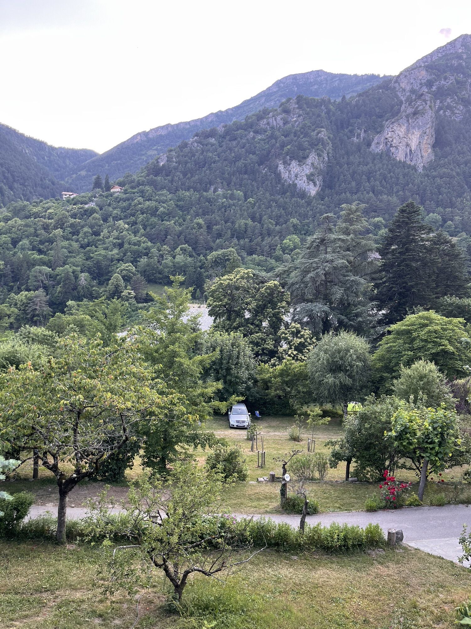
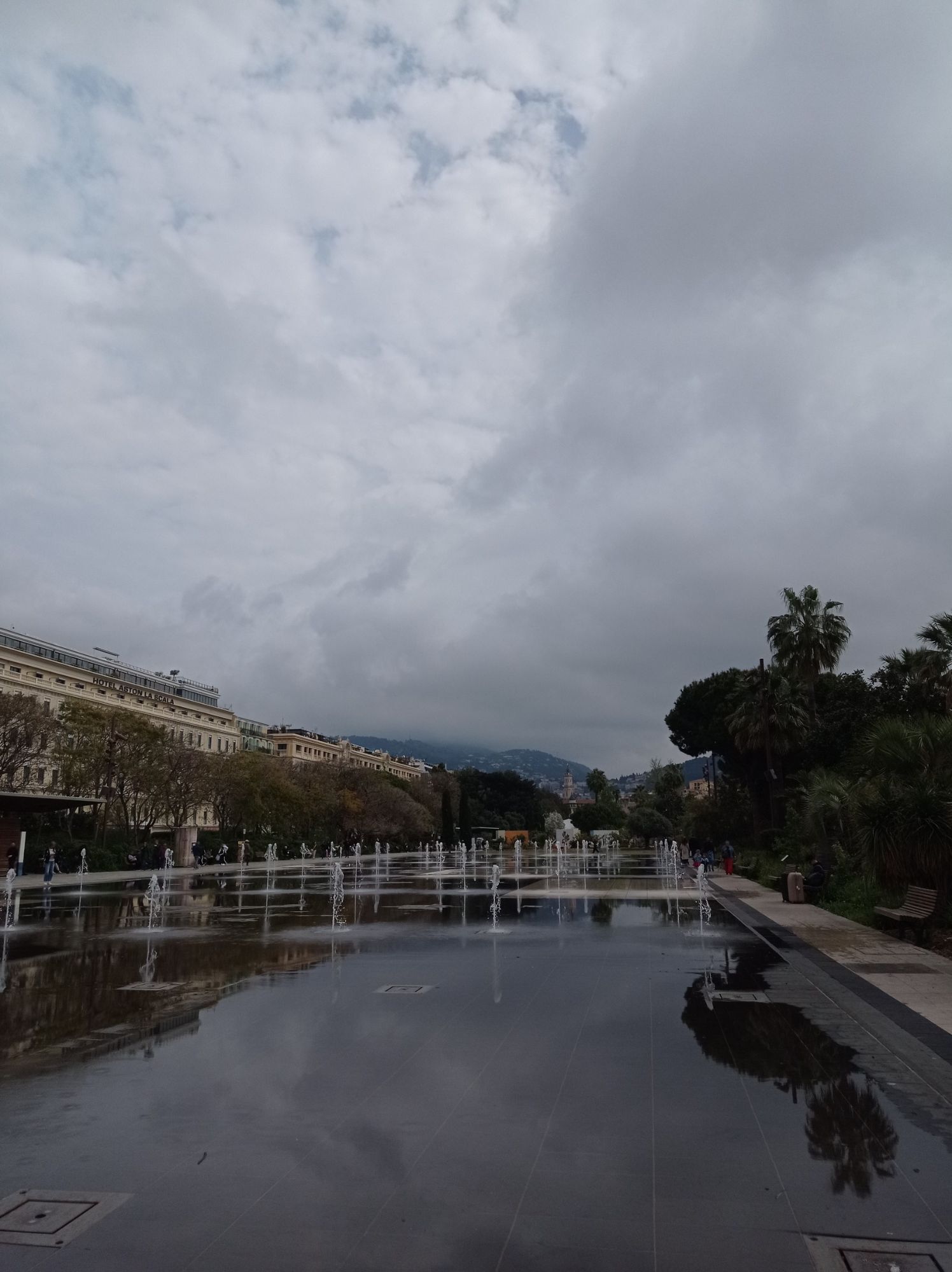
Metropolis Nice Côte d'Azur is an exceptional territory. It peaks at Mont Gelas at 3143 m altitude and plunges, 45 km as the crow flies, into the turquoise waters of the Mediterranean. With the Mercantour...
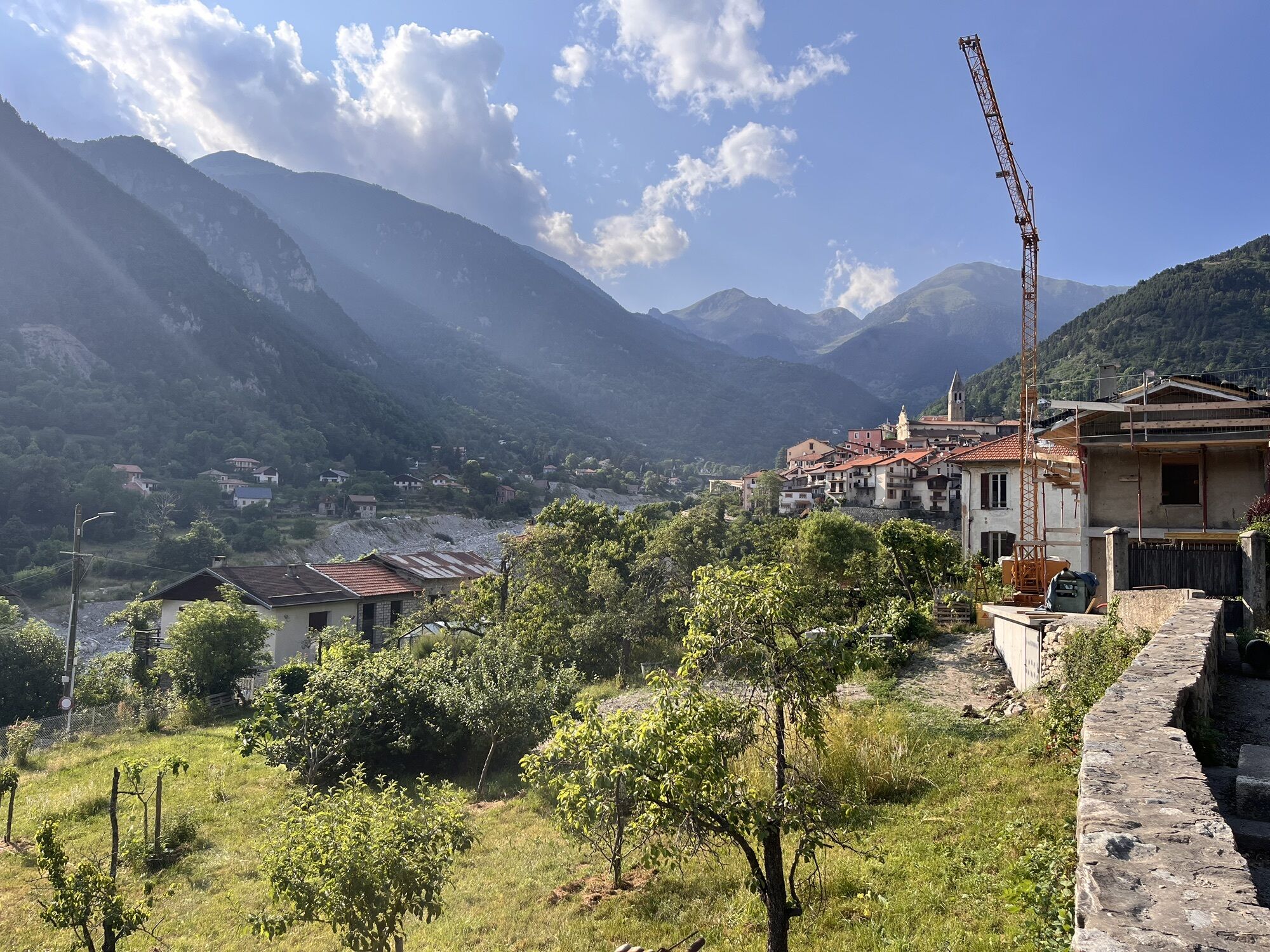
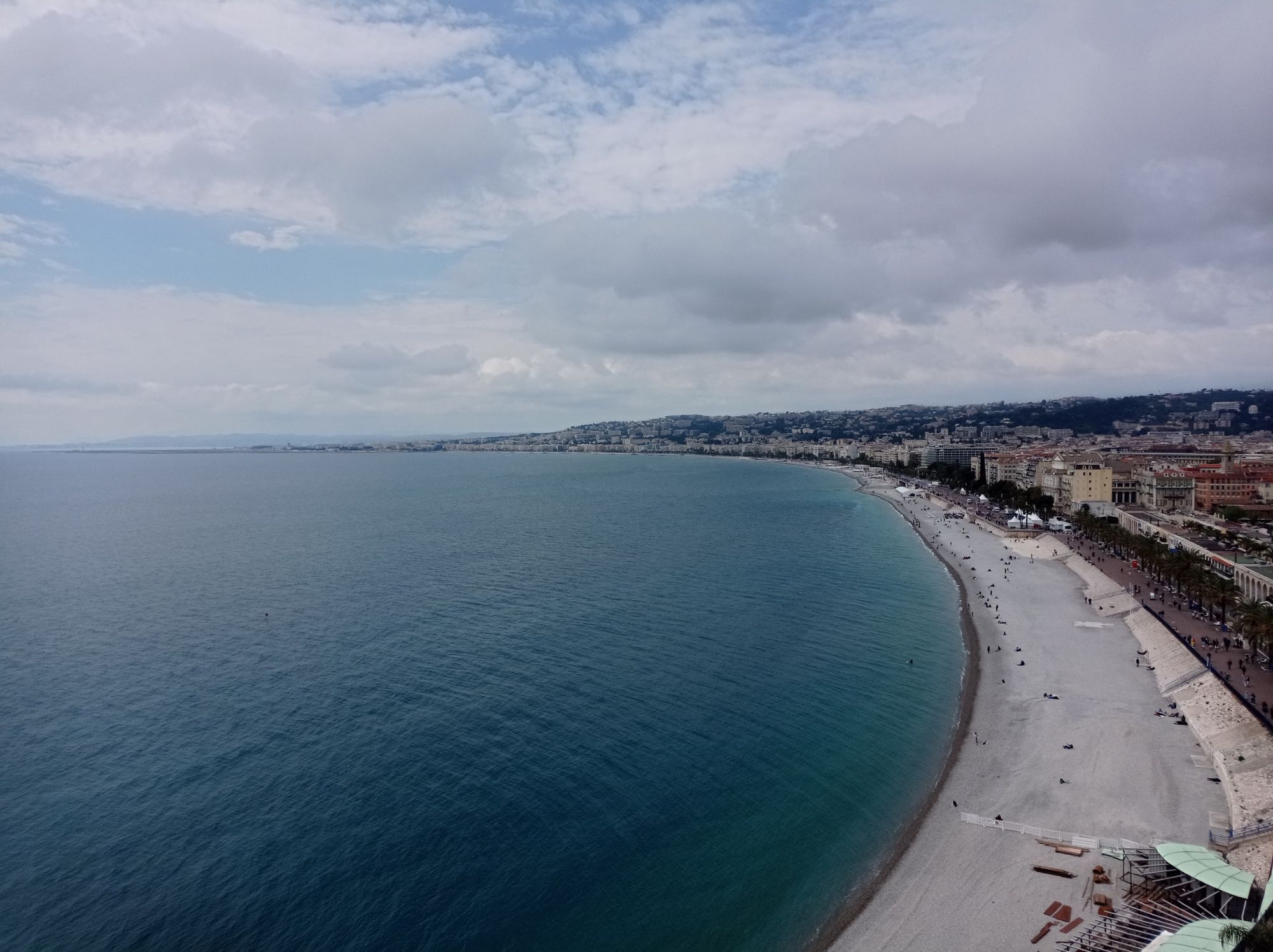
Metropolis Nice Côte d'Azur is an exceptional territory. It peaks at Mont Gelas at 3143 m altitude and plunges, 45 km as the crow flies, into the turquoise waters of the Mediterranean. With the Mercantour to Nice electric mountain bike route, you enter the soul of the Nice region and discover its incredible riches:
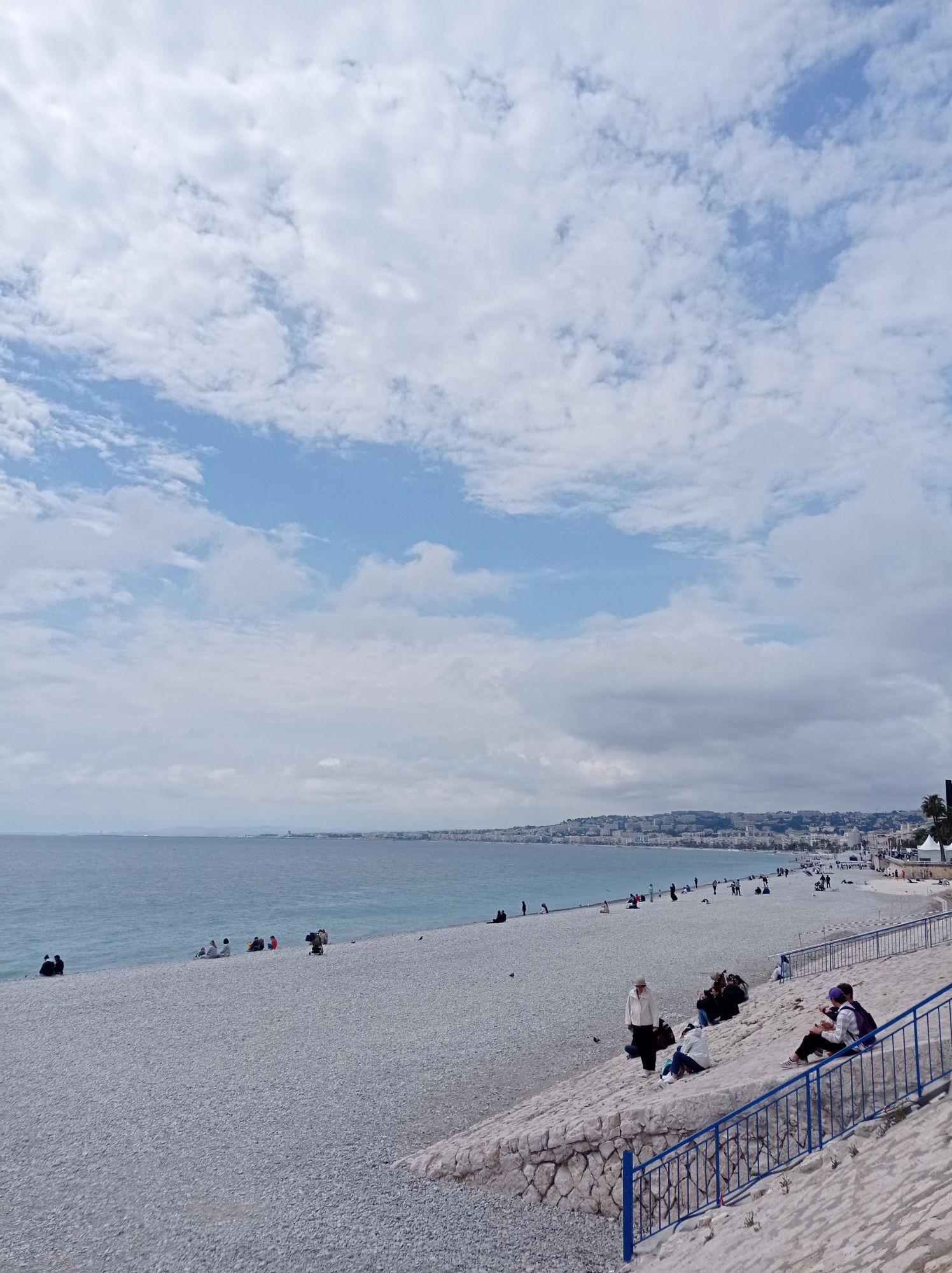
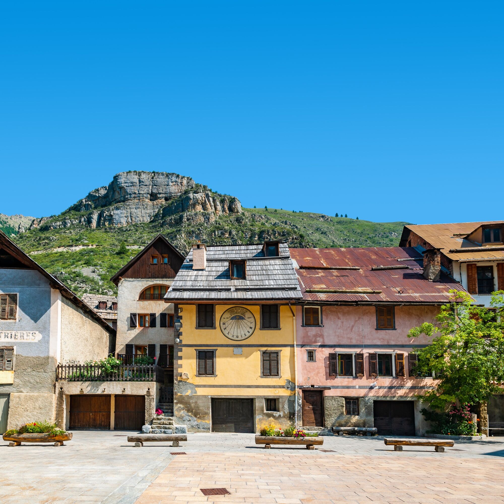
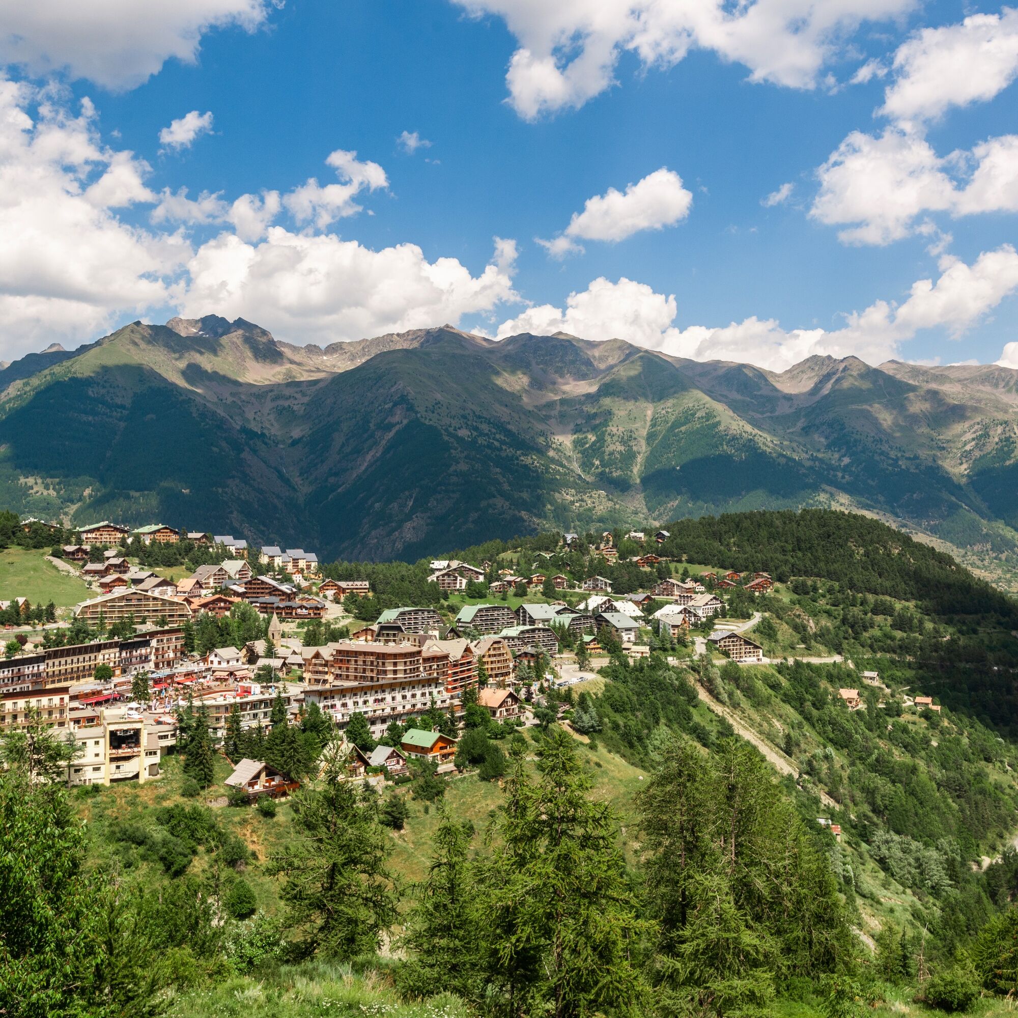
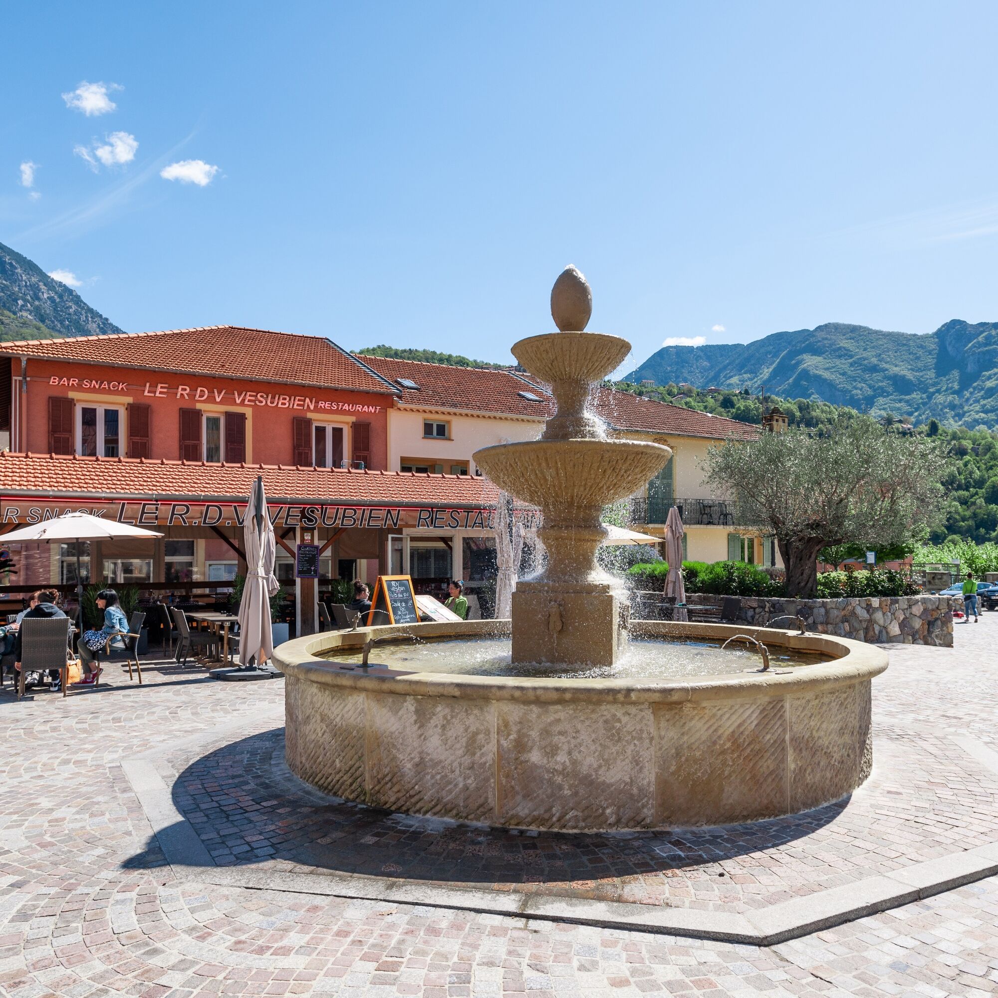
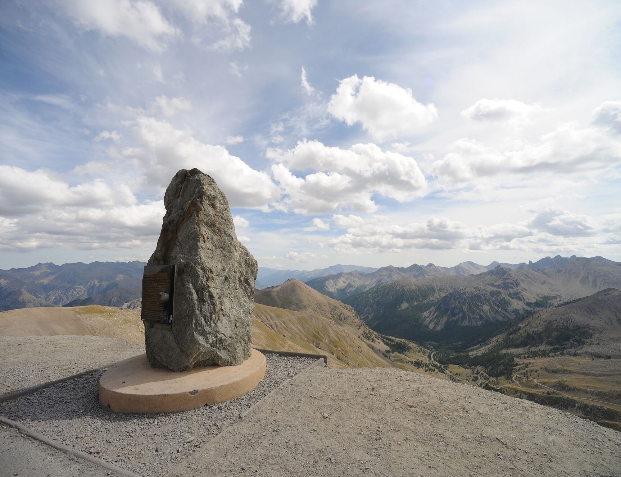
First, the lush high mountains, in the heart of Mercantour National Park, featuring a legendary passage at Col de la Bonette reaching 2802 m, alpine villages and mountain resorts. Then, deep mountain valleys, with rushing rivers and medieval villages made of stone and ochre, often perched. This is where the heart of the Nice region beats: here they say Countéa de Nissa! Lower down, the limestone pre-Alps, more Mediterranean, where olive trees and pines dominate, with sunny villages and scents of scrubland. Finally, Nissa la Bella, with its historic districts and the Promenade des Anglais as a highlight of your journey.So ready for the great adventure?




Wear a helmet, bring protective equipment and repair accessories.
Watch the weather: mountain weather changes rapidly, bring warm clothes.
The national park is a protected and regulated area: use only trails authorized for MTB riders
Follow marked trails, don't take shortcuts and respect the direction of the routes.
Before starting a route, check that it suits your level, check your MTB condition and leave your route with someone.
Be careful, courteous and slow down when overtaking other users.
Be extra careful during hunting season and check for ongoing hunts.
If you meet livestock guardian dogs (patous), get off your bike, avoid sudden movements and go around the herd.
Respect private property, agricultural zones and close gates after passing.
Have an eco-citizen behavior: take your trash with you and respect wildlife and plants for preserved nature.
Always make sure to carry the IGN map corresponding to your route.
Signage
The route has specific directional signage adaptable to different configurations. You will find:
directional posts indicating places and distances, signposts (half posts) only directional logos placed on existing hiking signage, green road directional signs (the usual ones for cycling routes).In all cases, the blue "e-bike Metropolis Nice Côte d'Azur" logo will be your guide, along with the official red markings of the French Cycling Federation. It appears on all types of signage.
Recharging batteries
You can recharge your battery in the evening at your accommodations. In principle, you will not need to do this during the day. However, for the longest and most difficult stages, it will be necessary to conserve battery power depending on its capacity, your physical condition and also... your weight. Many villages will soon offer charging stations (in 2022). This way, you can enjoy a doubly refreshing energy break during a meal!
Storm Alex
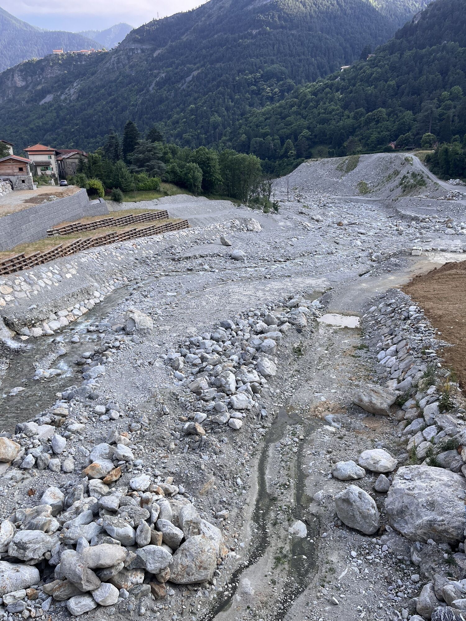
The Vésubie valley was heavily affected by Storm Alex in October 2020. Stage 5 was adjusted according to the progress of reconstruction work.
Specific regulations for crossing the heart of Mercantour National Park (Mercière trail, stage 4)
The route passes through the core zone of Mercantour National Park, on the Mercière trail (stage 4). The access, circulation, and parking of cycles are regulated by decree no. 2020-05 (article 10) of Mercantour National Park.
Before July 15: no passage allowed on the Mercière trail Between July 15 and July 31: individual passage authorization request 2 working days before the route (North-South direction), by email (autorisations@mercantour-parcnational.fr) to the director of Mercantour National Park public establishment, only for passage on Tuesday or Wednesday. Between August 1 and October 15: authorization request by email 2 working days before the route (autorisations@mercantour-parcnational.fr) and passage possible every day.The request must specify:
The beneficiary's name The date of the day of circulation on the Mercière trail The start and end point of the stage using the Mercière trail In case of a request submitted within the framework of a mountain tourist guiding service, the full names of the group membersThis measure limits disturbance to wildlife, particularly the Black Grouse, which between June 1 and July 31 is in a very sensitive period: nesting on the ground and incubation and hatching of chicks. This video explains the impact of disturbance to the Black Grouse due to human activities: The Black Grouse, emblematic animal of the Alps
Funding
The implementation of the Auron-Nice MTB route was carried out under the Espace Valléen 2014-2020 scheme with support from the FEDER and FNADT:
It is part of the operation "Animation of the valley area and construction of the electric-assist mountain bike route discovering exceptional landscapes" of the FEDER 2014-2020 program, with a total eligible cost of €426,963.75.
All outdoor activities in the Metropolis Nice Côte d'Azur are on https://outdoor.nicecotedazur.org
Webové kamery z prohlídky

Oblíbené prohlídky v okolí
-
The Salt Roads: The Pagarine Route
střednídálková pěší trasa 159.7 km -
5.0
AVU Alta Via dei Lupi | Stage 8A Lake Brocan - Terme di Valdieri
středníTuristika 14.3 km -
5.0
AVU Alta Via dei Lupi | Stage 7 San Giacomo di Entracque - Ellena-Soria refuge
středníTuristika 6.15 km -
The Madonna of Fenestre - San Giacomo di Entracque / Pagarine route (stage 7)
středníTuristika 13.3 km -
Great Crossing of the Alps - South Piedmont
heavydálková pěší trasa 249.2 km -
5.0
AVU Alta Via dei Lupi | Stage 10 Franco Remondino refuge - Valdieri thermal baths
středníTuristika 9.47 km -
5.0
Goldtoni - Alpenbogen A105 Refuge de la Modena de Fenestre-Refugio Morelli Buzzi
střednídálková pěší trasa 24.8 km -
4.5
Historic Mountain Routes | Strada del Pagari
heavyTuristika 11.3 km -
5.0
Goldtoni - Alpenbogen A106 Refugio Morelli Buzzi-Refugio Malinvern
střednídálková pěší trasa 25.0 km -
Historic Mountain Streets | Madonna delle Finestre Road
středníMountainbike 10.6 km
Pěší turistika a stopování


Nenechte si ujít nabídky a inspiraci pro vaši příští dovolenou
Vaše e-mailová adresa byl přidán do poštovního seznamu.


