







AVU Alta Via dei Lupi | Stage 7 San Giacomo di Entracque - Ellena-Soria refuge
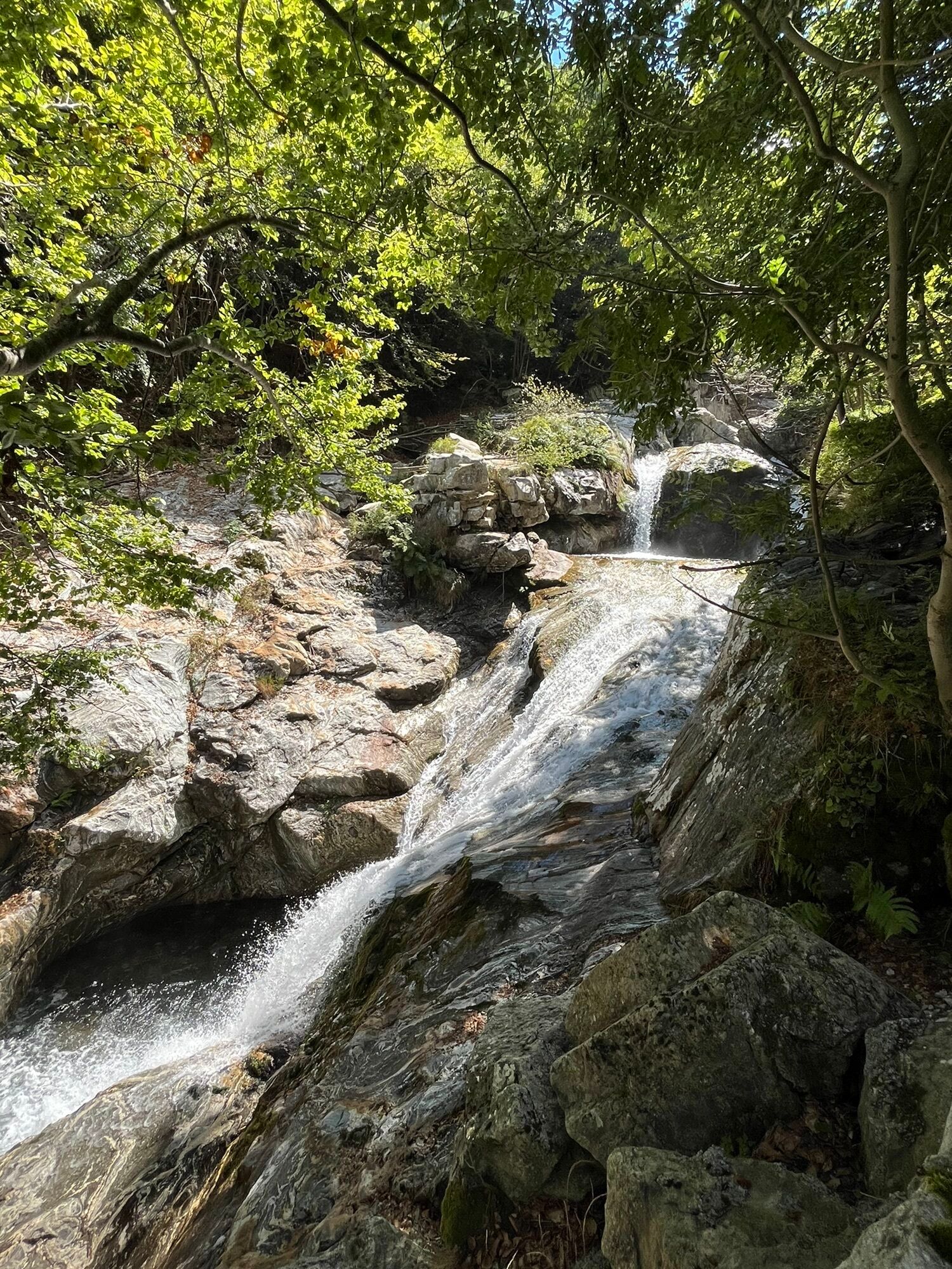
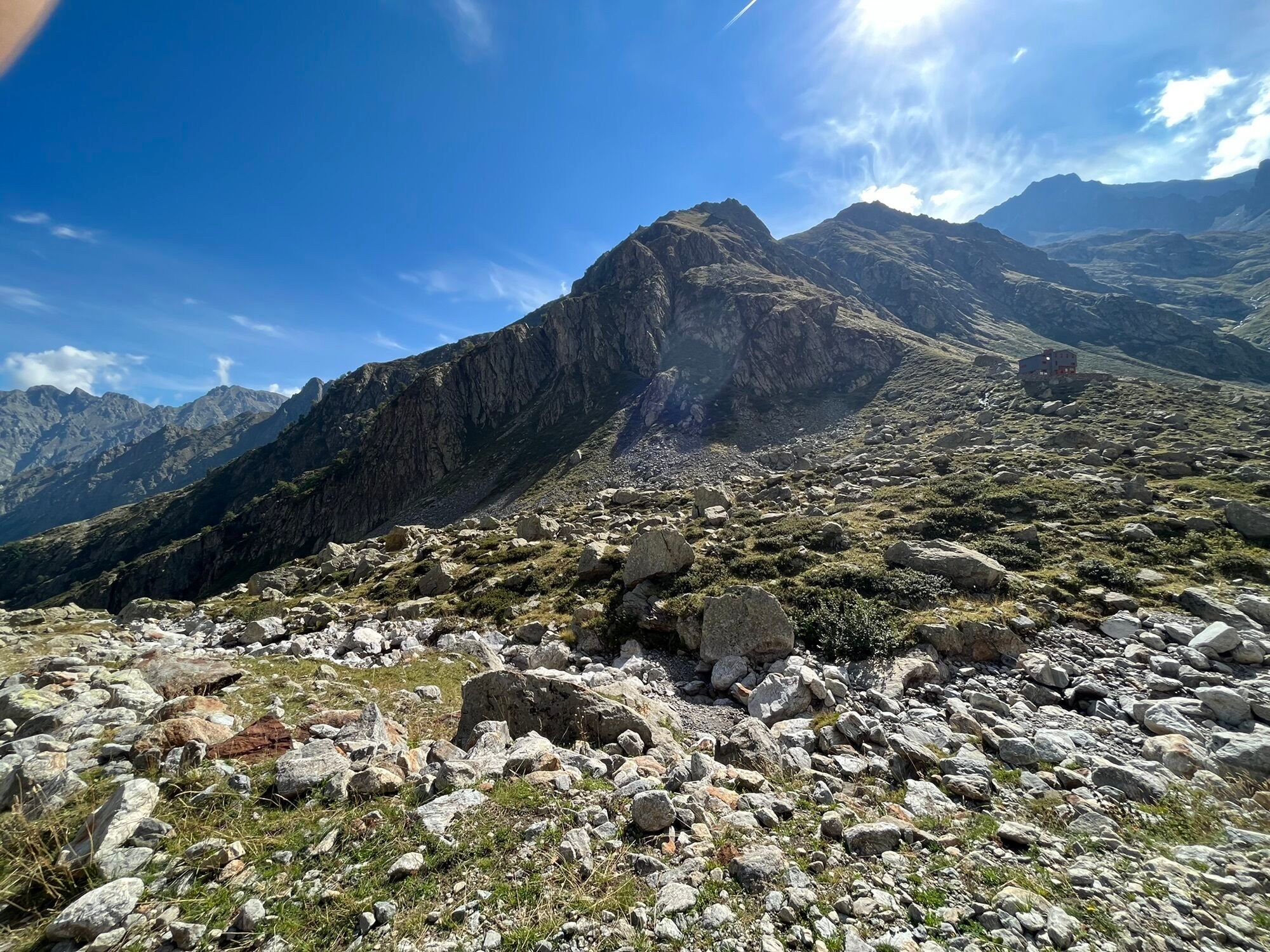
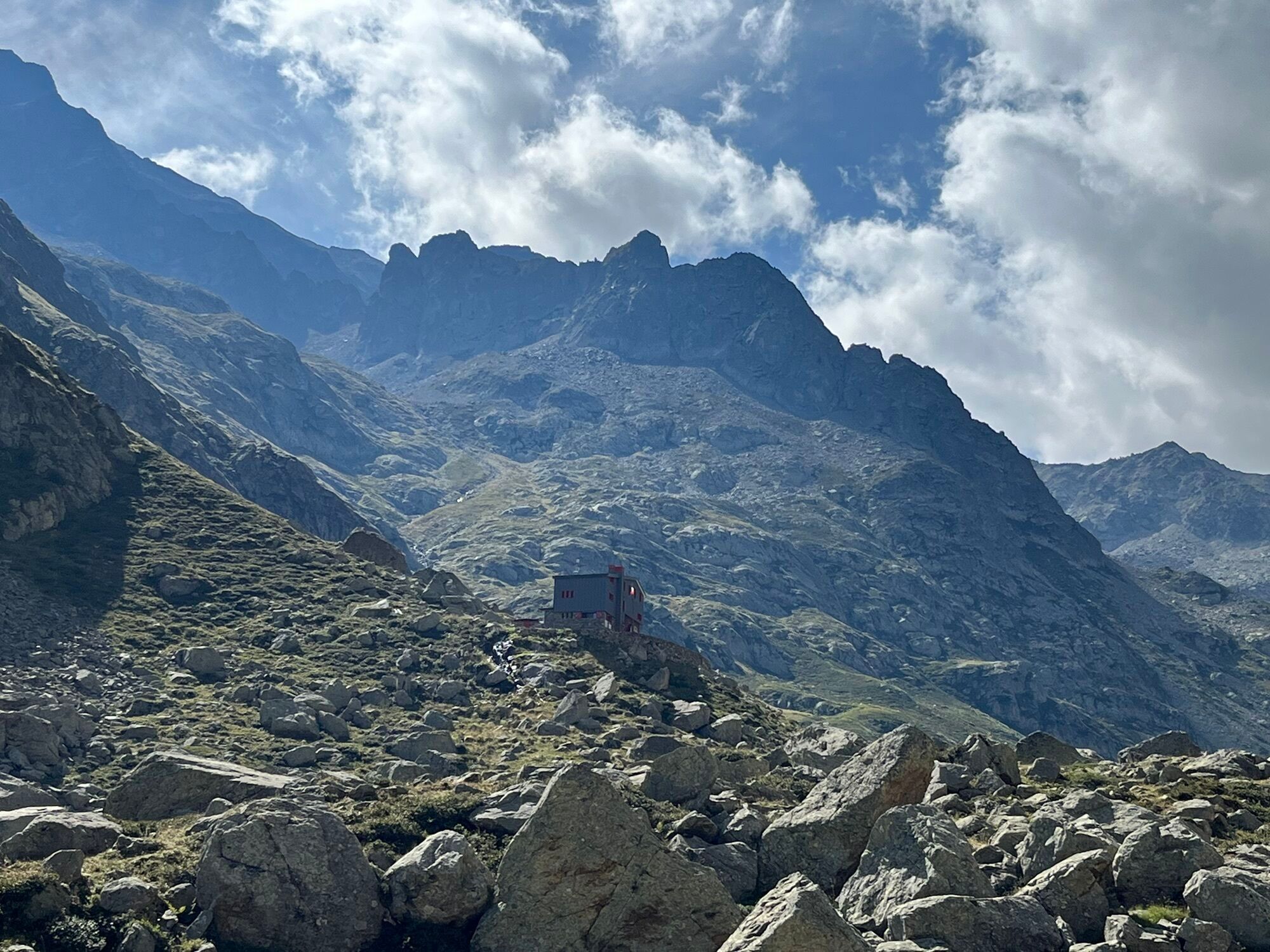
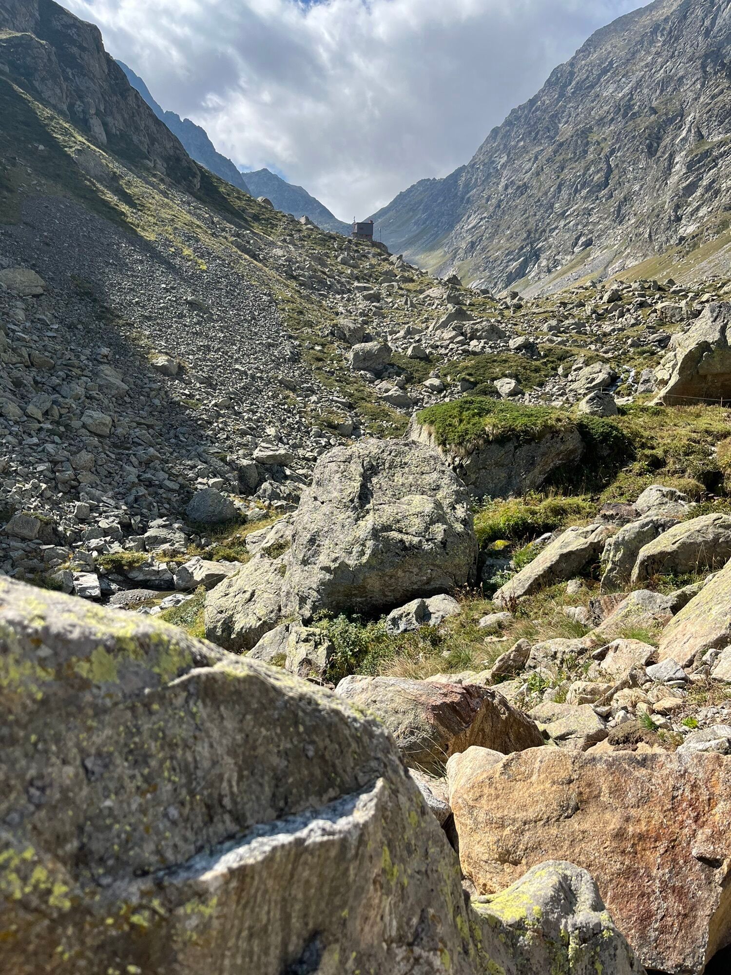
From San Giacomo di Entracque, just beyond the Park's hiking refuge, the road (M11 trail sign) becomes a dirt road and begins to climb the Vallone della Barra in a beautiful beech grove. The beech trees...
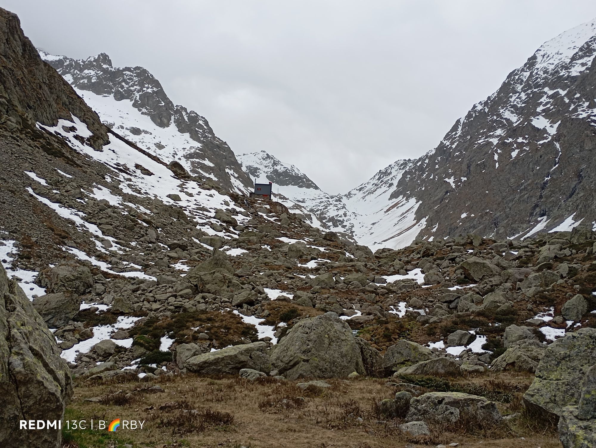
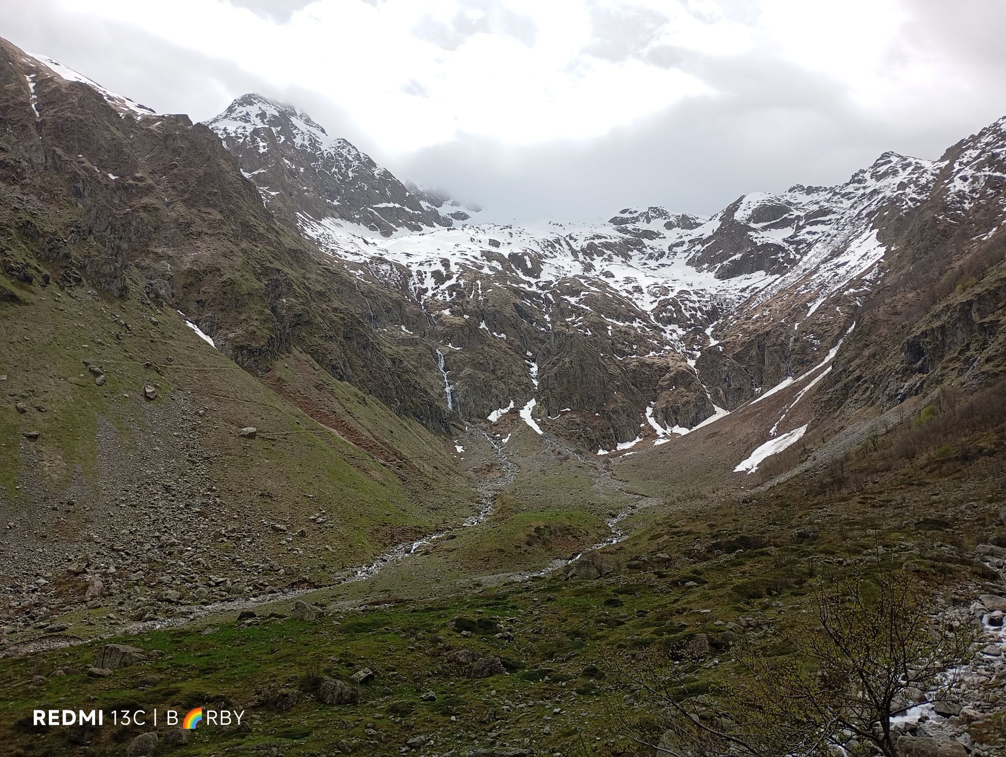
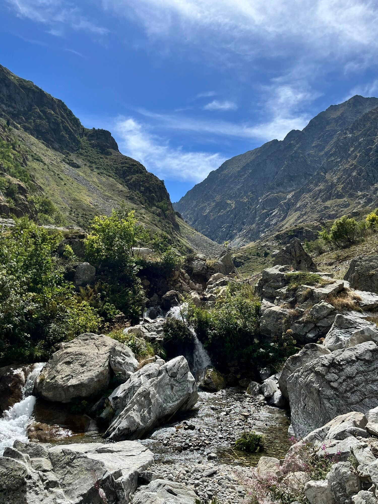
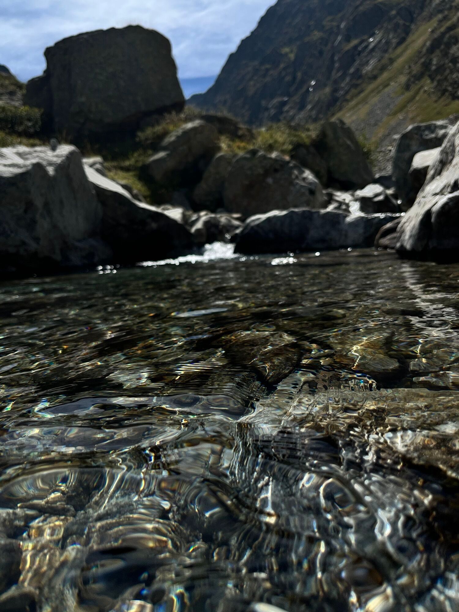
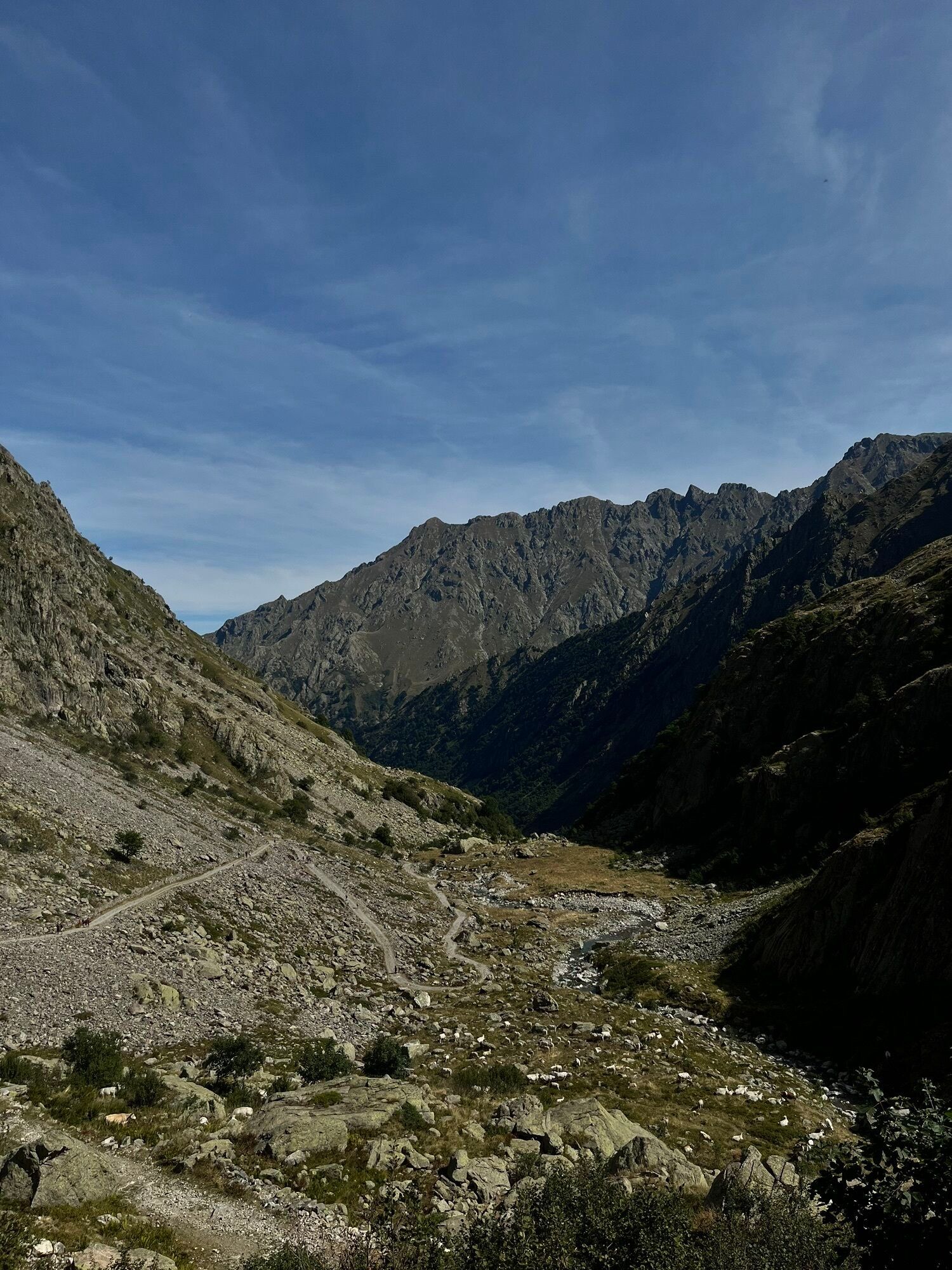
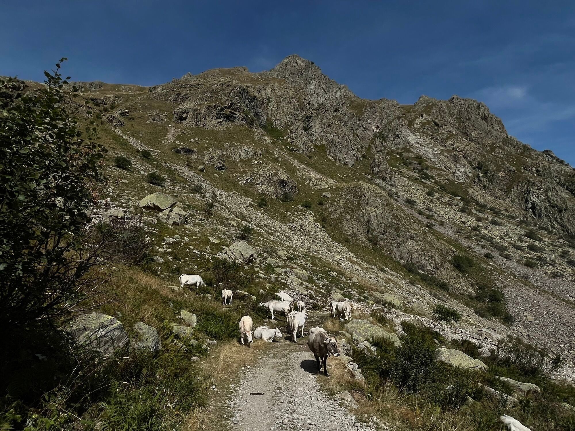
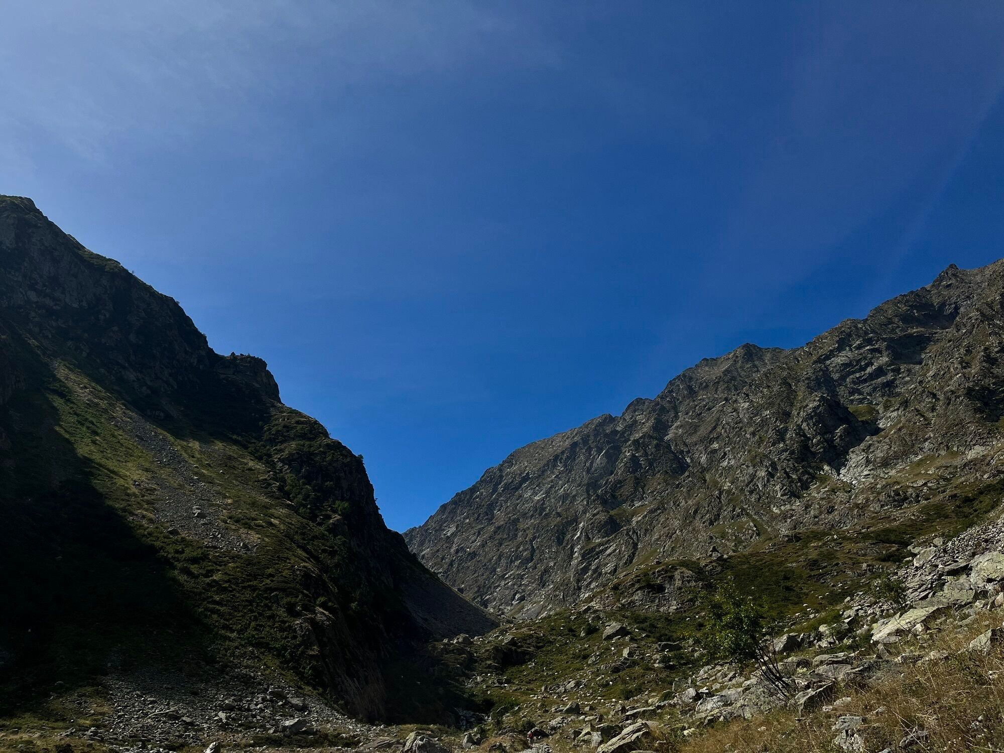
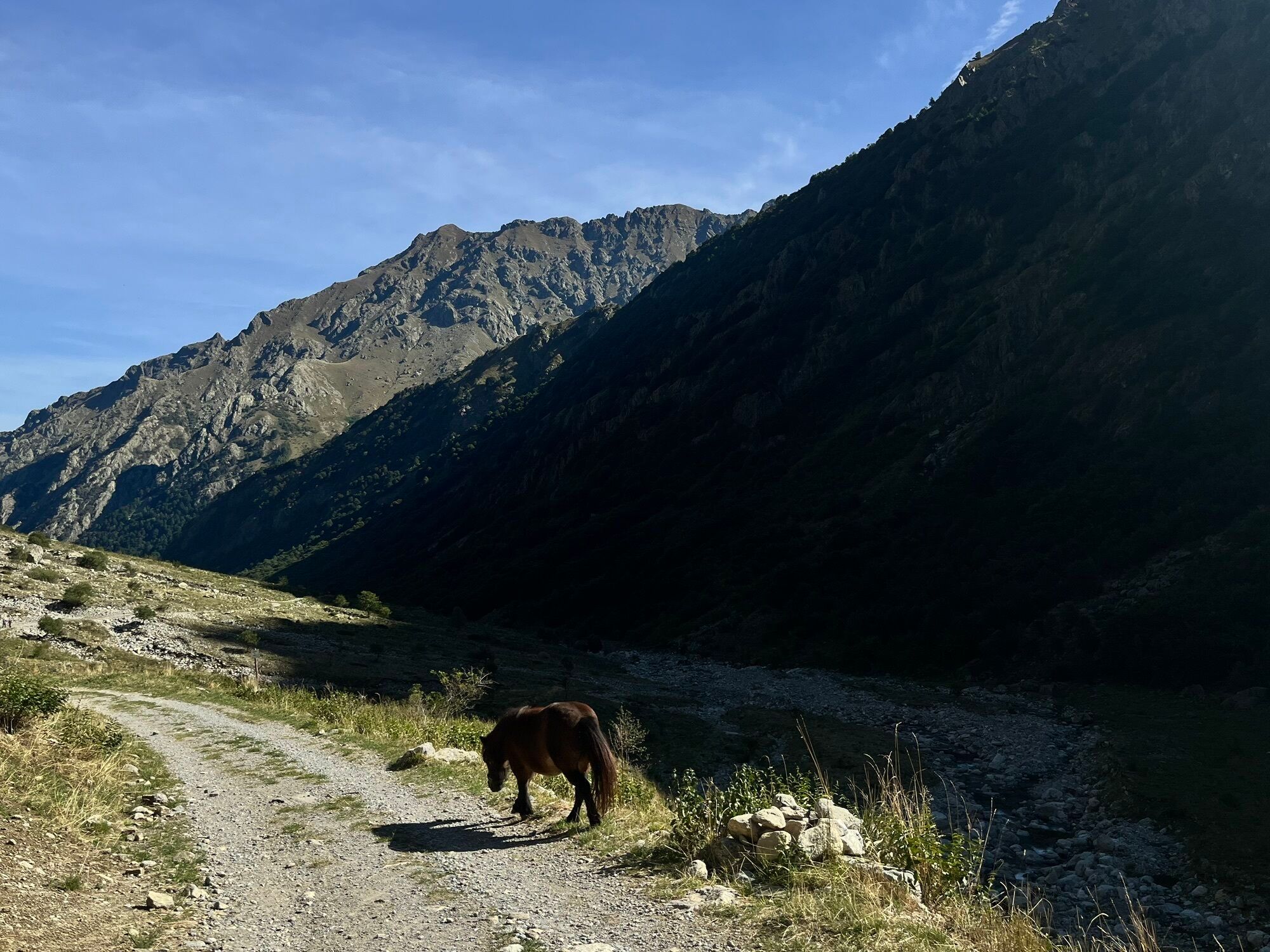
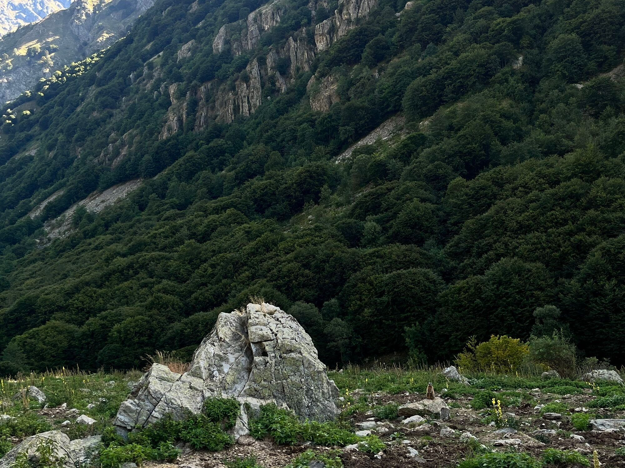
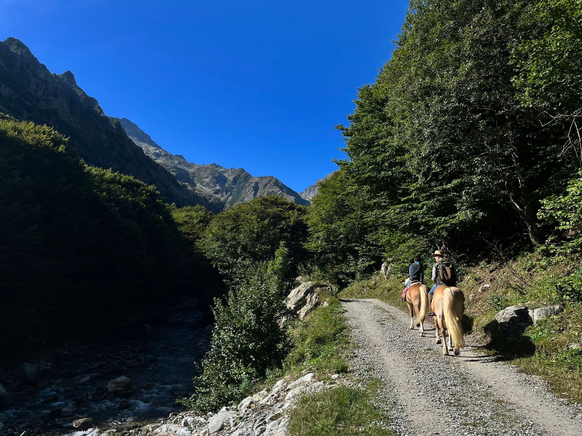
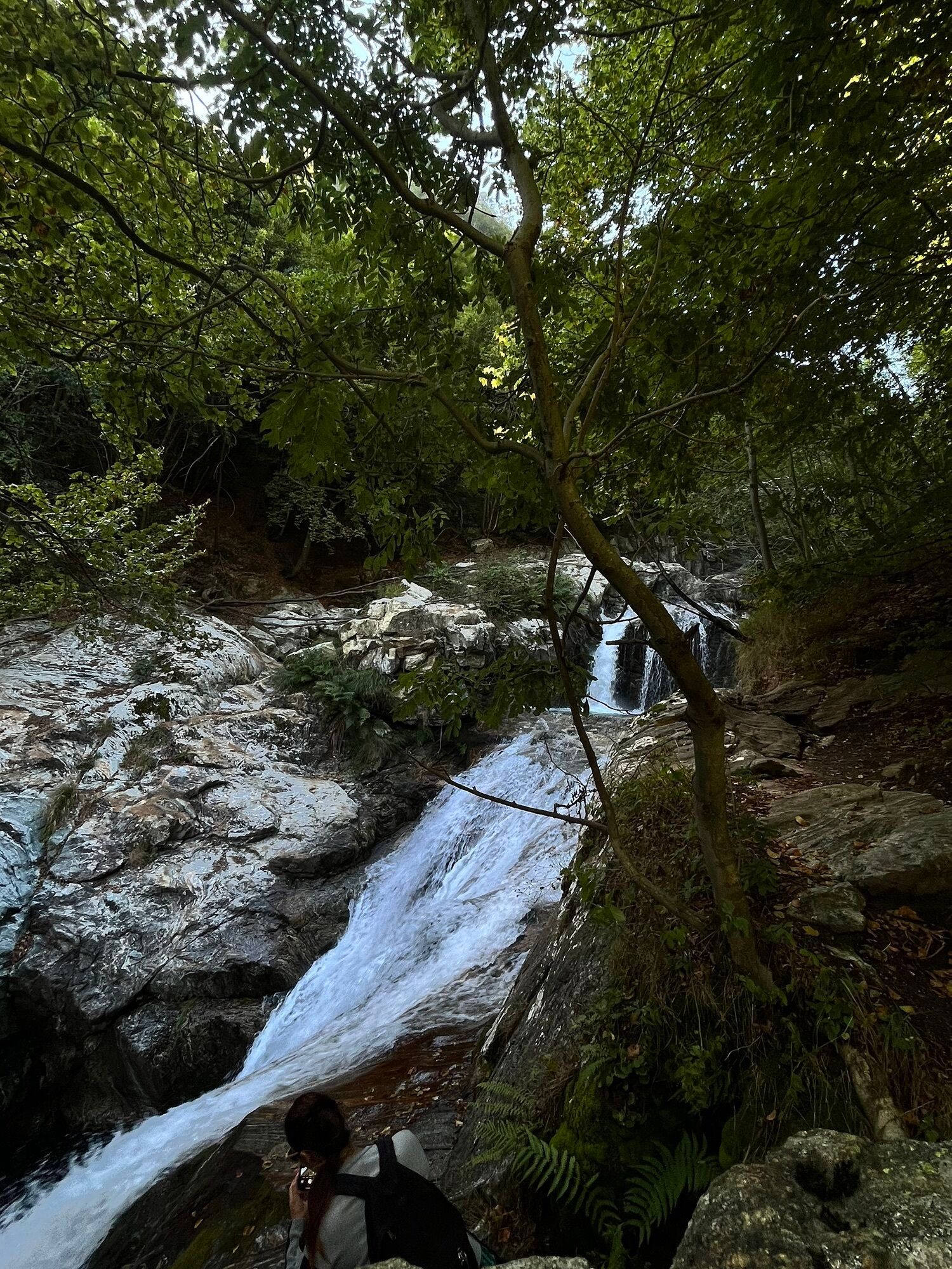
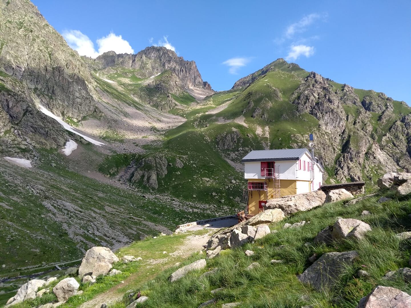
From San Giacomo di Entracque, just beyond the Park's hiking refuge, the road (M11 trail sign) becomes a dirt road and begins to climb the Vallone della Barra in a beautiful beech grove. The beech trees thin out quickly and the landscape takes on the appearance of rich pastures dotted with sparse shrubs. Leaving Gias Isterpis on the left, continue on the comfortable dirt road at the bottom of the valley. You pass the so-called Piazzale dei Cannoni and, a little further on, ignore the grassy dirt road on the left that goes down to the Gias della Siula.At the next hairpin bend to the right, a track that branches off to the left and rejoins the dirt road further upstream allows you to shorten the route. Around an altitude of 1650, at the base of the rocky cliff known as Passage of Peirastretta, another small path on the left, quite evident, avoids some bends of the dirt road before rejoining it. After the crossroads on the right for Colle di Fenestrelle (M10 trail sign) which you leave aside, the dirt road ends up crossing the Gesso della Barra torrent. On foot, however, you cross the stream on the wooden footbridge located on the left a few meters before the ford.Immediately beyond the walkway there is a crossroads, again to the left, with the steep but short path that goes directly up to the refuge. The dirt road, however, extends towards the S in the large pasture basin of the Piano del Praiet until it meets a branch of the stream again, right at the crossroads on the right for Colle di Finestra (trail sign M11) and for Pera de Fener (trail sign M18 ). The road crosses the stream and, now turning north, reaches the hill on which the Soria Refuge stands



Oblíbené prohlídky v okolí
-
The Salt Roads: The Pagarine Route
střednídálková pěší trasa 159.7 km -
5.0
AVU Alta Via dei Lupi | Stage 8A Lake Brocan - Terme di Valdieri
středníTuristika 14.3 km -
The Madonna of Fenestre - San Giacomo di Entracque / Pagarine route (stage 7)
středníTuristika 13.3 km -
5.0
Goldtoni - Alpenbogen A104 Refuge des Merveilles-Refuge de la Modena de Fenestre
střednídálková pěší trasa 18.6 km -
Great Crossing of the Alps - South Piedmont
heavydálková pěší trasa 249.2 km -
5.0
Goldtoni - Alpenbogen A105 Refuge de la Modena de Fenestre-Refugio Morelli Buzzi
střednídálková pěší trasa 24.8 km -
4.5
Historic Mountain Routes | Strada del Pagari
heavyTuristika 11.3 km -
5.0
AVU Alta Via dei Lupi | Stage 10 Franco Remondino refuge - Valdieri thermal baths
středníTuristika 9.47 km -
5.0
Goldtoni - Alpenbogen A106 Refugio Morelli Buzzi-Refugio Malinvern
střednídálková pěší trasa 25.0 km -
Historic Mountain Streets | Madonna delle Finestre Road
středníMountainbike 10.6 km
Pěší turistika a stopování


Nenechte si ujít nabídky a inspiraci pro vaši příští dovolenou
Vaše e-mailová adresa byl přidán do poštovního seznamu.





