





Rivi's trail, Mikonkari

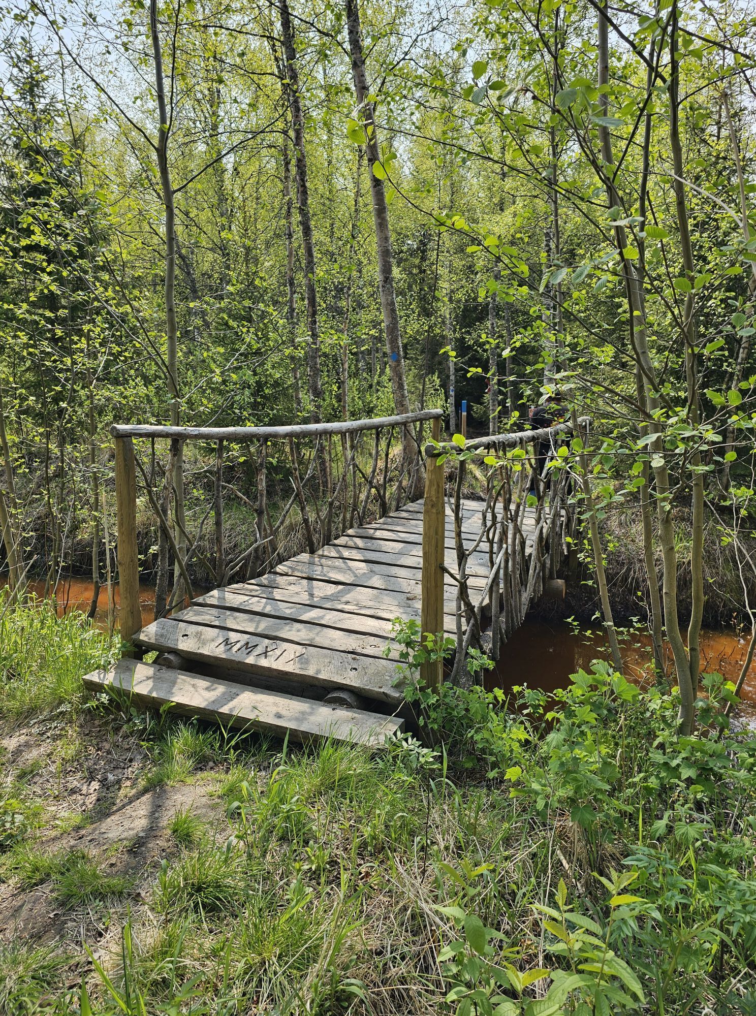
The Rivi's Trail, 2.5 km long, starts from the large parking area along Lohenpyrstöntie and leads through the forest church all the way to the northern branch of the Pattijoki River, near the Rivi harbor....
The Rivi's Trail, 2.5 km long, starts from the large parking area along Lohenpyrstöntie and leads through the forest church all the way to the northern branch of the Pattijoki River, near the Rivi harbor. A river crossing is being planned, but currently the trail ends at the river.


Ano
Parking is available along the Lohenpyrstö road by the beach, and just down the road from the main Lohenpyrstö building and caravan park.
In 2006, a vegetation and nature survey was conducted in the Mikonkari area as part of zoning plans.
On the opposite shore from the Mikonkari fishing harbor, along the Pattijoki estuary, lies the Mikonkarinlahti coastal meadow nature reserve. This area is protected due to its unique habitat type.
Oblíbené prohlídky v okolí
-
Hummastinvaara mountain biking routes 25 km, Raahe
středníMountainbike 20.2 km -
The path of Fantti
světloTuristika 0.64 km -
Hummastinvaara mountain biking routes 15 km, Raahe
středníMountainbike 14.3 km -
Iso-Kraaseli nature trail
světloTuristika 1.95 km -
Tour of Mikonkari
světloTuristika 1.75 km -
Raahe city tour
světloJízda na kole 14.3 km -
Varvi nature trail, Raahe
světloTematická stezka 5.68 km -
Mountain biking trails in Hummastinvaara, Raahe, 5 km
světloMountainbike 4.92 km -
Pitkänkari paths, Takaranta and Hakotauri
světloTuristika 3.66 km -
Path of Parr, Mikonkari
světloTuristika 0.81 km
Pěší turistika a stopování


Nenechte si ujít nabídky a inspiraci pro vaši příští dovolenou
Vaše e-mailová adresa byl přidán do poštovního seznamu.





