




Siiponjoki family route 5 km, Kalajoki
A wide and easy-to-walk path bordered by large pine trees leads hikers serpentine-like to the Siiponjoki River, along which you encounter majestic sandy canyons and loop-shaped river bends, some of which...
A wide and easy-to-walk path bordered by large pine trees leads hikers serpentine-like to the Siiponjoki River, along which you encounter majestic sandy canyons and loop-shaped river bends, some of which have formed separate ponds. The constantly eroding current has caused trees to fall into the river, but the approximately 230-year-old ancient pine along the route has still held its ground.
The route following the riverbed on easy pine woodland is also well suited for hiking with small children due to its length and difficulty. The rest spot at Pleuna lean-to shelter is only about half a kilometer from the starting point, located on a peninsula beautifully encircled by the river. The family route goes back and forth along the riverbank, so you have time for a break also on your return.
The Siiponjoki family route is part of the 20-kilometer Siiponjoki nature trail, which offers typical scenery of the Kalajoki river. There is no winter maintenance on the route.

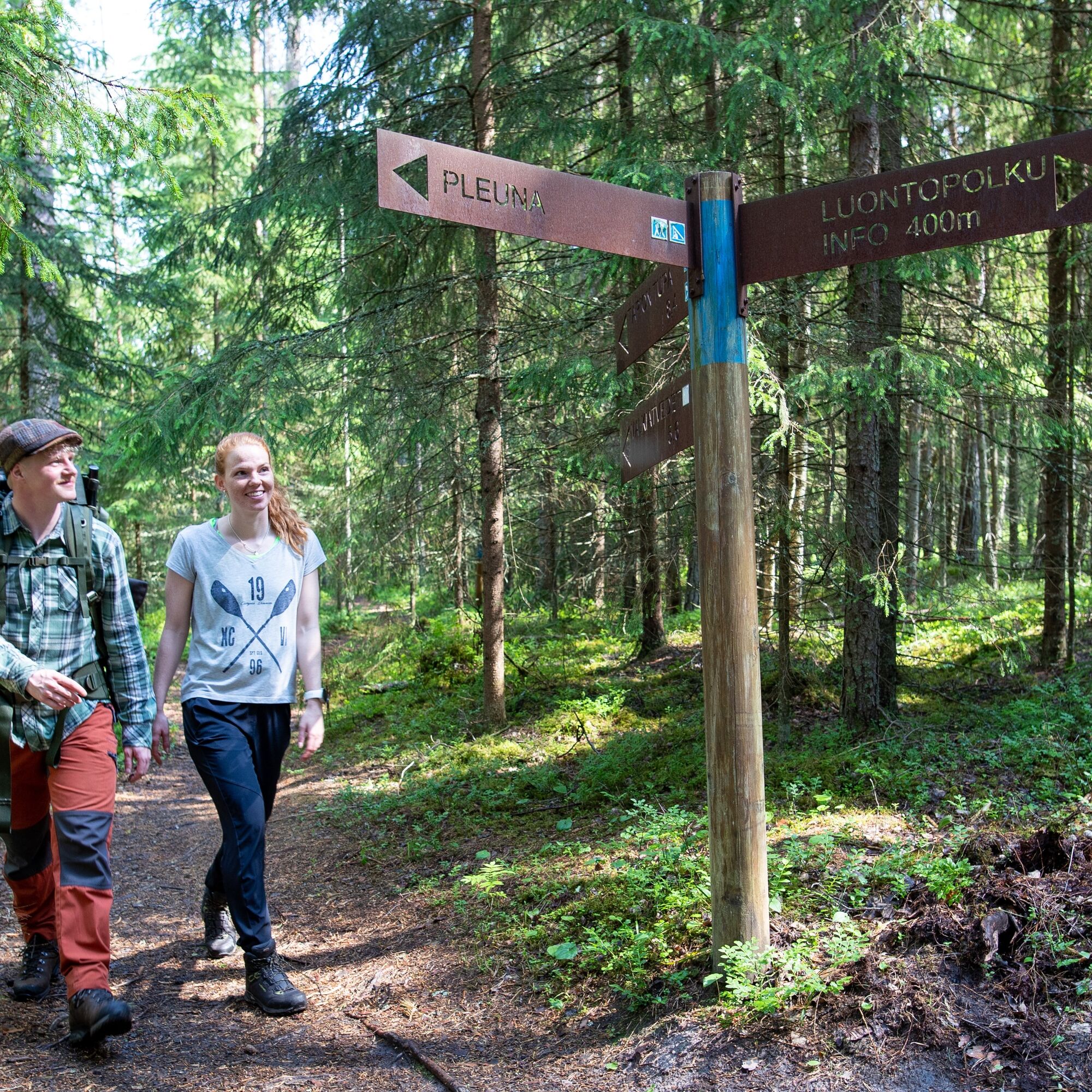
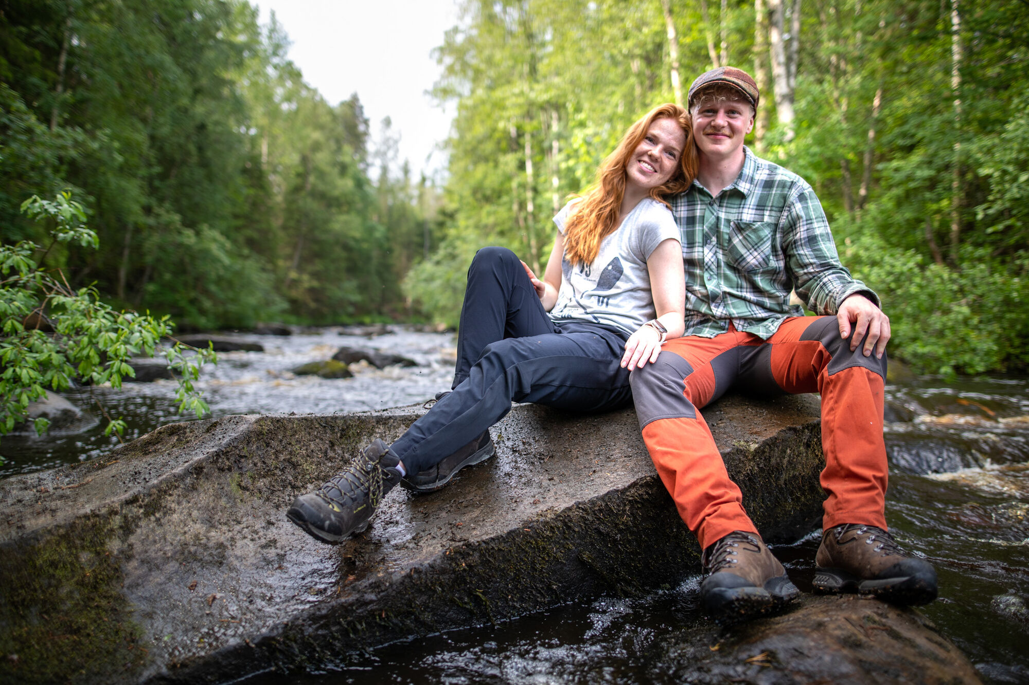
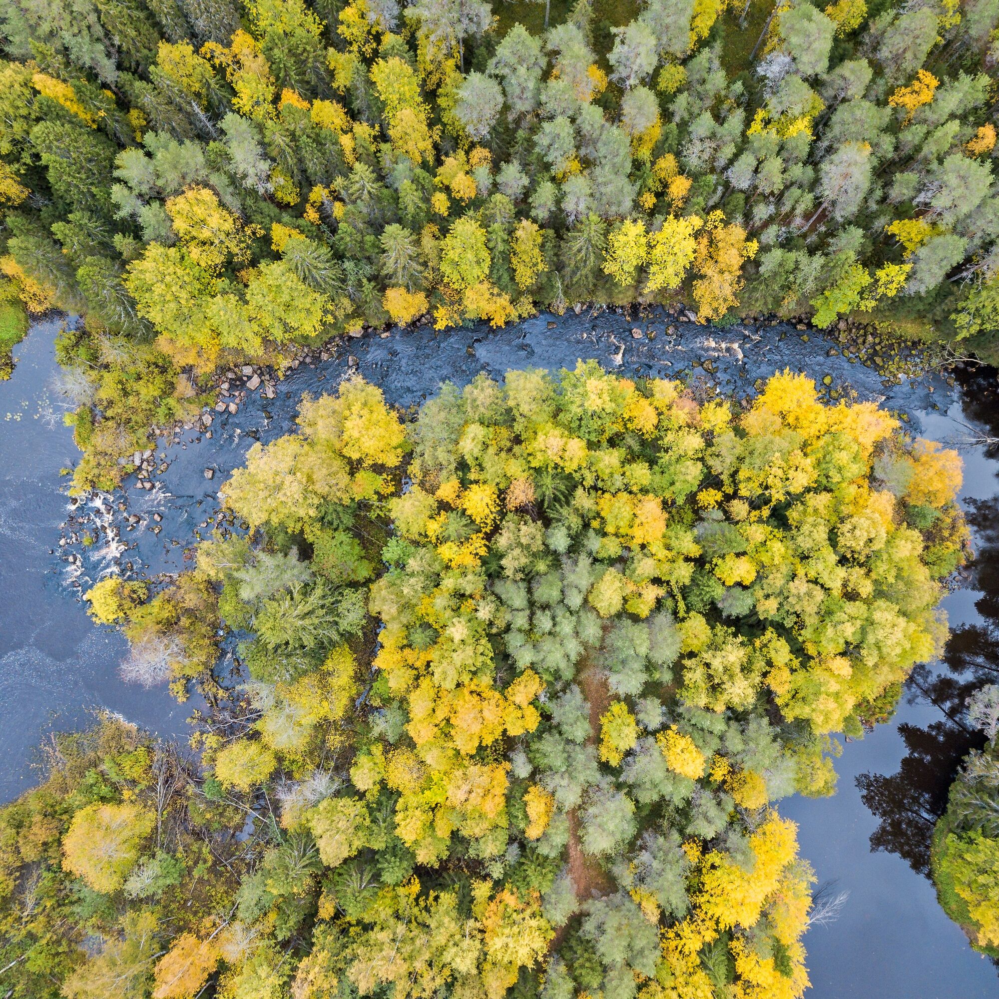
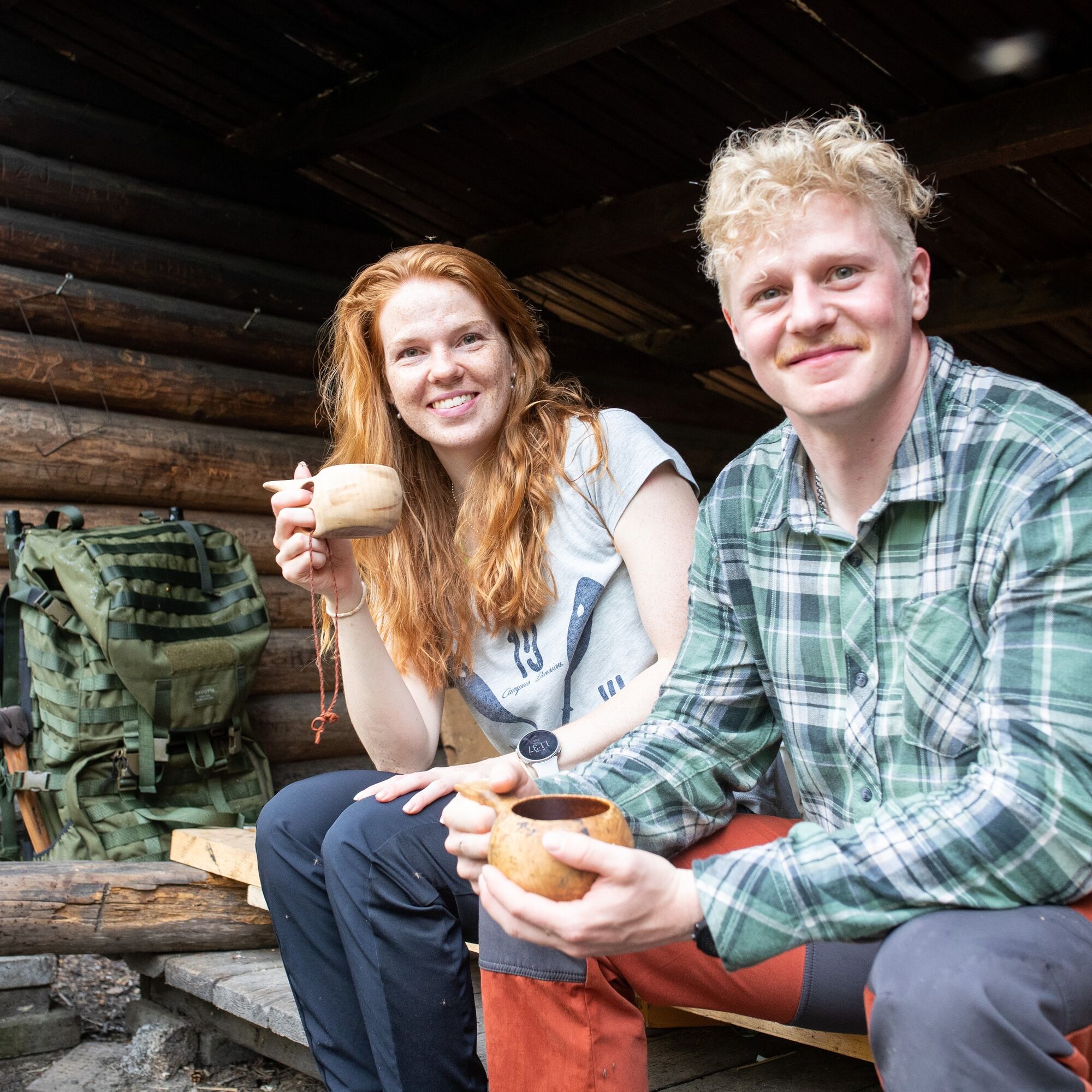

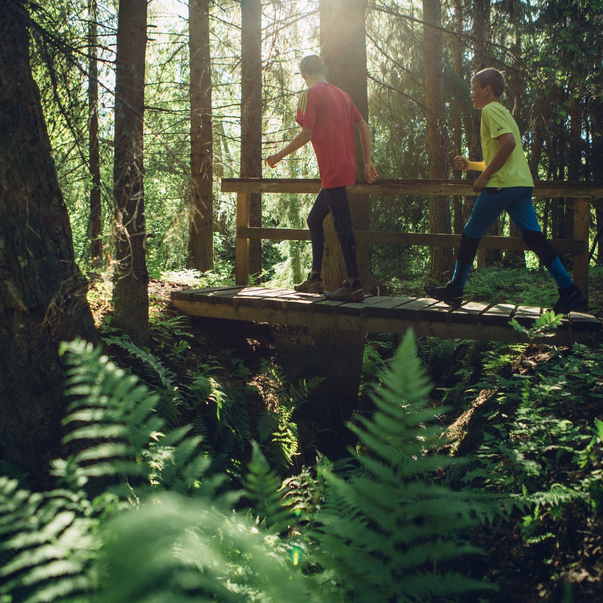
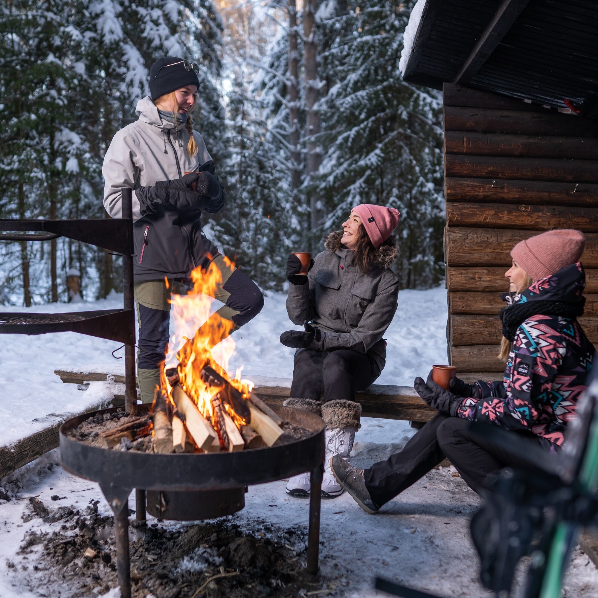
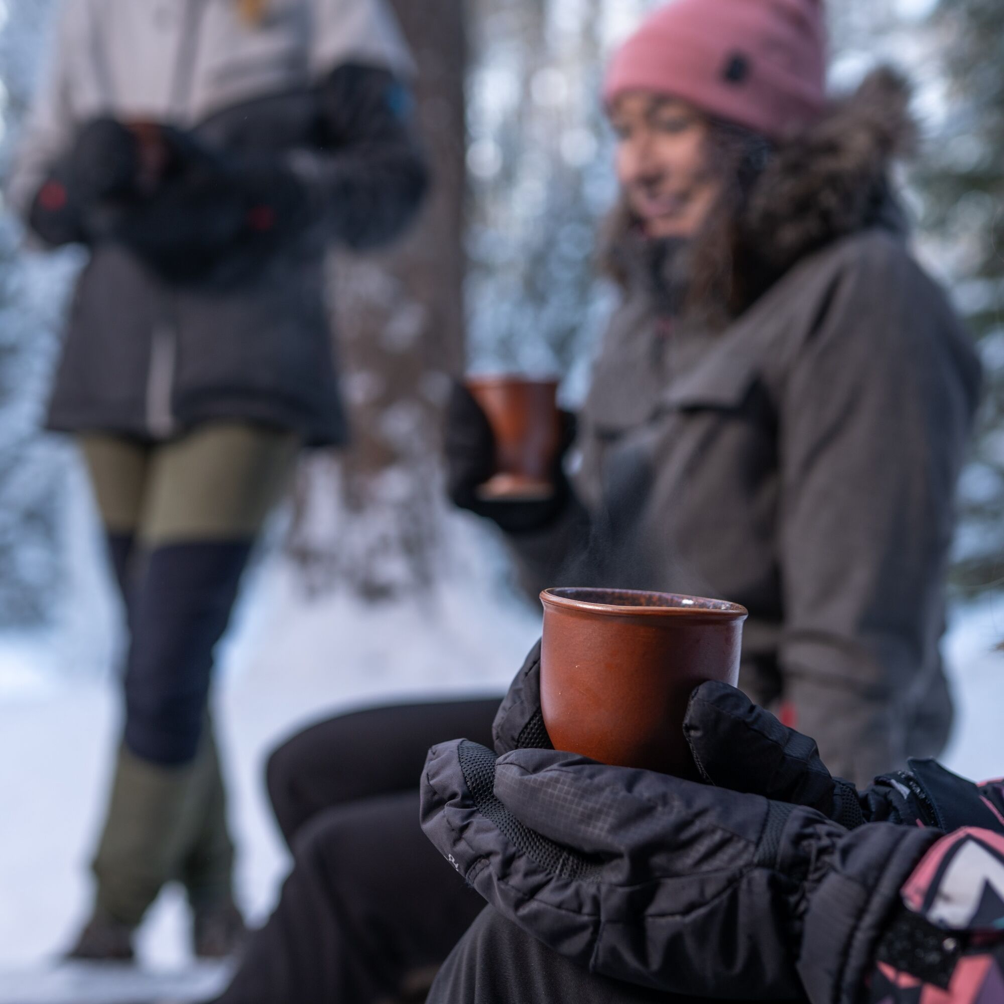
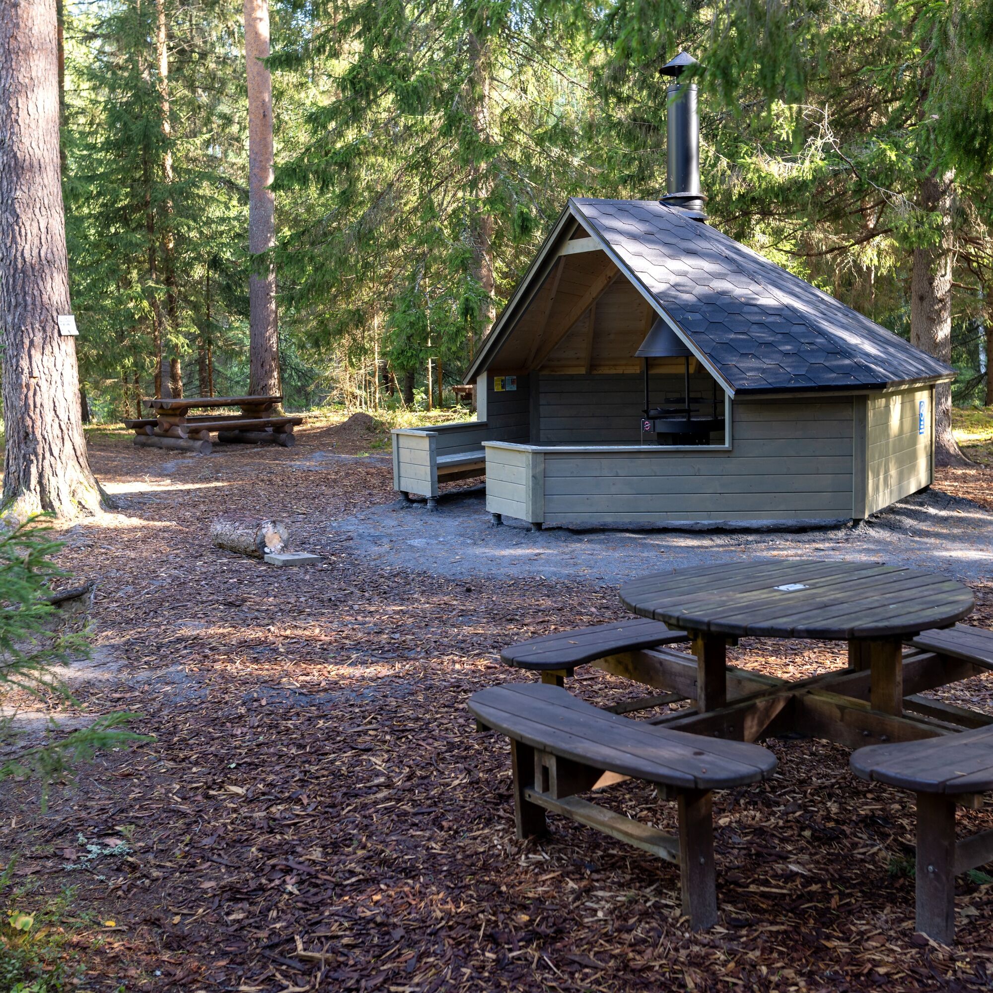
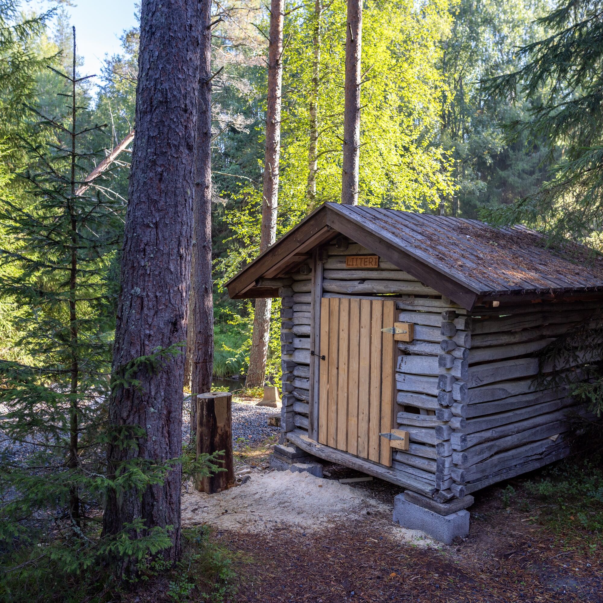

The route starting from the Pleuna starting point follows the riverbank through easy woodland terrain. Pleuna lean-to shelter is located about half a kilometer from the starting point, and on the out-and-back route, you can take a break either on the way out or back. The one-way section along the river is about 2.5 kilometers, and the total route length is just over 5 kilometers.
Ano
Ano
Ano
Normal outdoor clothing and footwear suitable for hiking.
Mostly an easy-to-walk route through woodland terrain. Roots and stones can be slippery when wet.
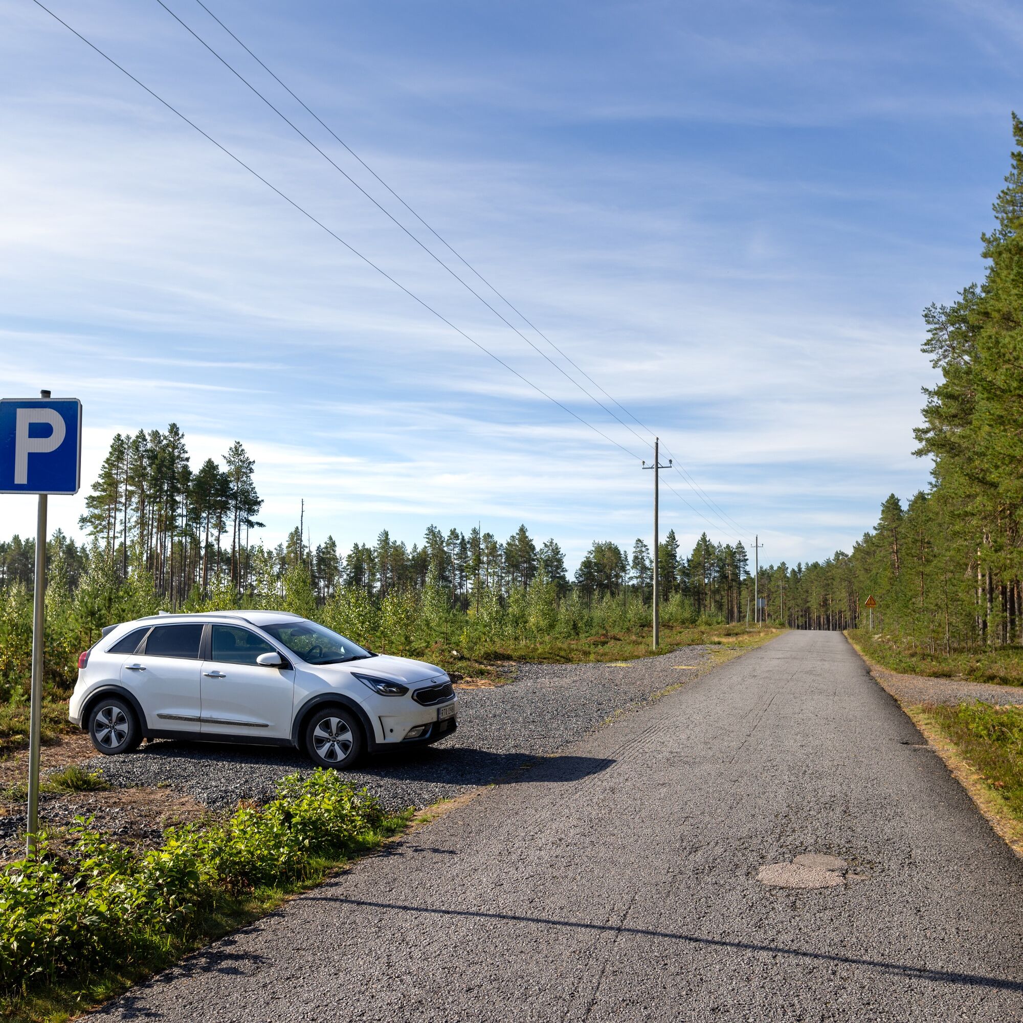
Coming from Kalajoki, turn from Highway 8 onto Pleunantie, drive approx. 4 km, where the route parking place is on the left side of the road and the starting point is on the right side of the road.
The route starting point is poorly accessible by public transportation.
Parking at Pleunantie 379, 85100 Kalajoki. Car parking is made on the side of the road, arriving from Highway 8 to the left side of the road.
Experience Siiponjoki with all your senses. Calm down listening to the river's murmur, get intoxicated by the forest scents and feel the forest by touching the trees.
The Siiponjoki riverbank has significant scenic value and is partially protected by the Rapids Protection Act.
Oblíbené prohlídky v okolí
Paddling route to Hevoskari
středníKajak / Kánoe 8.11 kmThe nature trail around Pitkäjärvi
Turistika 6.82 kmKAYAKING ROUTE TO KOIVUKARI WILDERNESS HUT
středníKajak / Kánoe 4.08 kmKalajoen Horse Route
středníJízda na koni 12.3 kmNaturetrail around Kivikangas and Pitkäjärvi
Turistika 8.76 kmKalajoki cultural route 16 km, Kalajoki
světloJízda na kole 15.7 kmHiekkasärkät Ring Route, Kalajoki
středníJízda na kole 19.1 kmHiekkasärkät Shoreline Route, Kalajoki
světloTuristika 8.41 kmPaddling route to the Venekari day hut
středníKajak / Kánoe 4.43 kmMariston kuntoportaat
středníTematická stezka 0.23 km
Pěší turistika a stopování


Nenechte si ujít nabídky a inspiraci pro vaši příští dovolenou
Vaše e-mailová adresa byl přidán do poštovního seznamu.





