





From Joensuu's Jokiasema to Lykynlamm
This route tip combines the beautiful beaches of the Joensuu region, urban nature sites, the sandy shores of Lykynlammi and the needle paths of kangaroo landscapes into a 43 km route.
The southern half...
This route tip combines the beautiful beaches of the Joensuu region, urban nature sites, the sandy shores of Lykynlammi and the needle paths of kangaroo landscapes into a 43 km route.
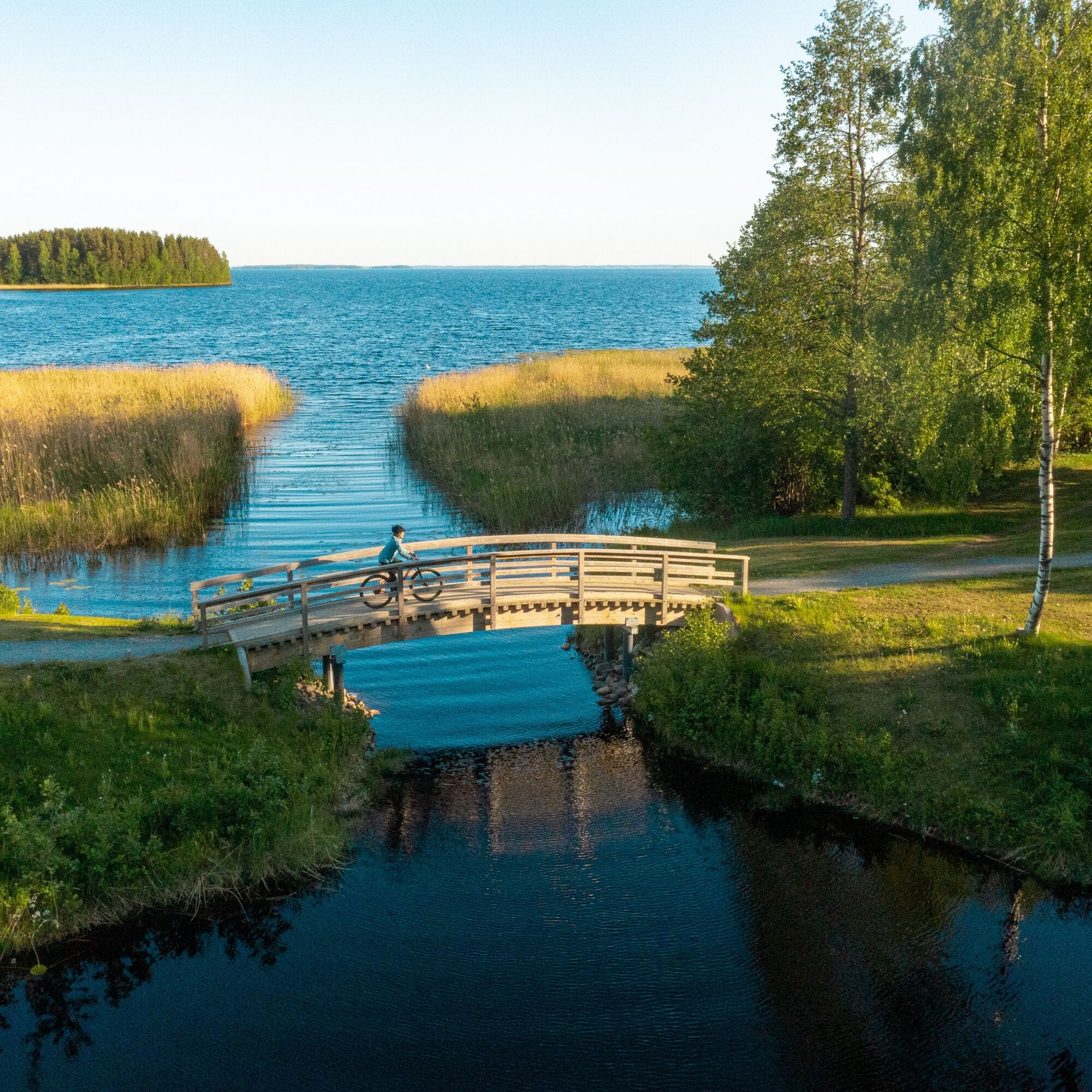
The southern half of the route from Jokiasema to Marjala runs along the banks of the Pielisjoki and Pyhäselkä rivers. The section is an easy outdoor trail with several shops, cafés and petrol stations. The route continues from Marjala ABC to the Lykynlammi area along paths and fitness trails. There are several shelters or fireplaces for breaks. There are three swimming beaches on the route.
From the river station to Lykynlamm, the route follows the orange signs of the Jaama Trail. In the terrain of the Lykyn pond, the route follows the colour-coded Lykyn trails.
The route as a whole is suitable for cyclists with modest off-road skills, as the difficult sections are no more than a hundred metres long and can therefore be negotiated on foot.

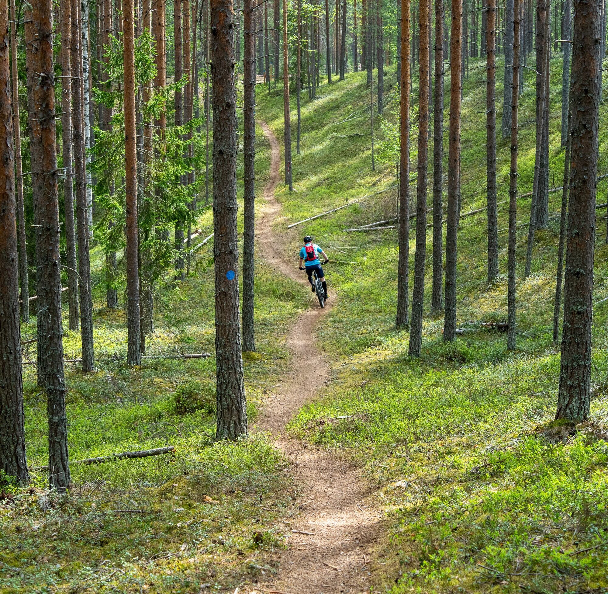
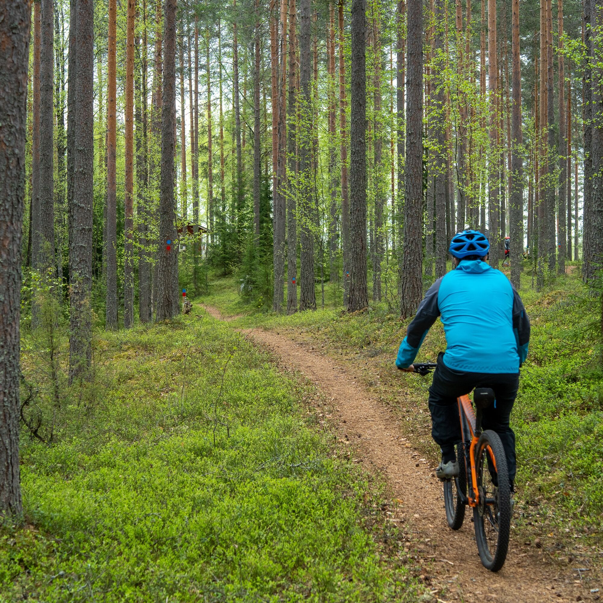
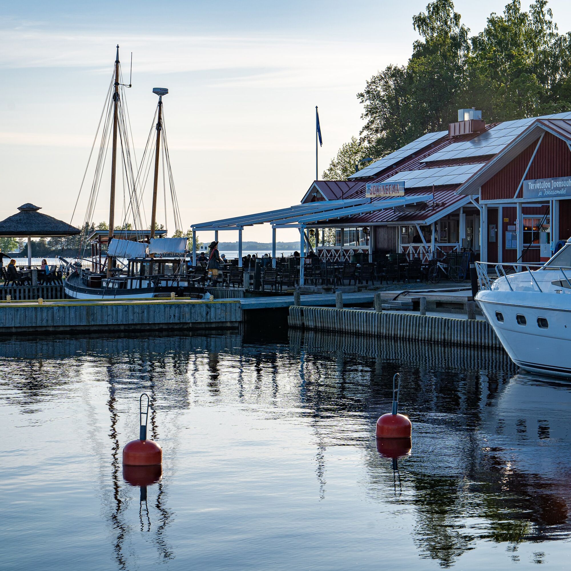

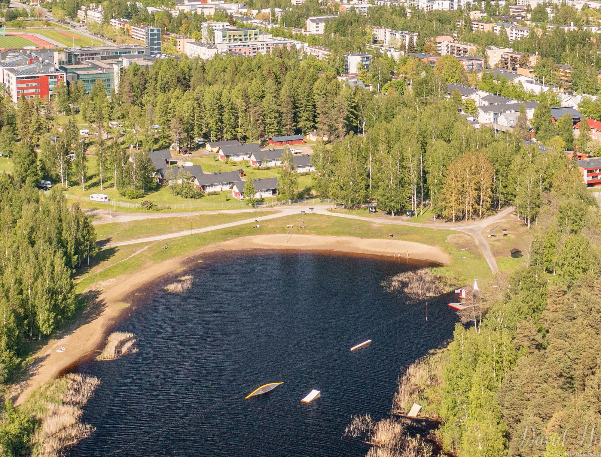
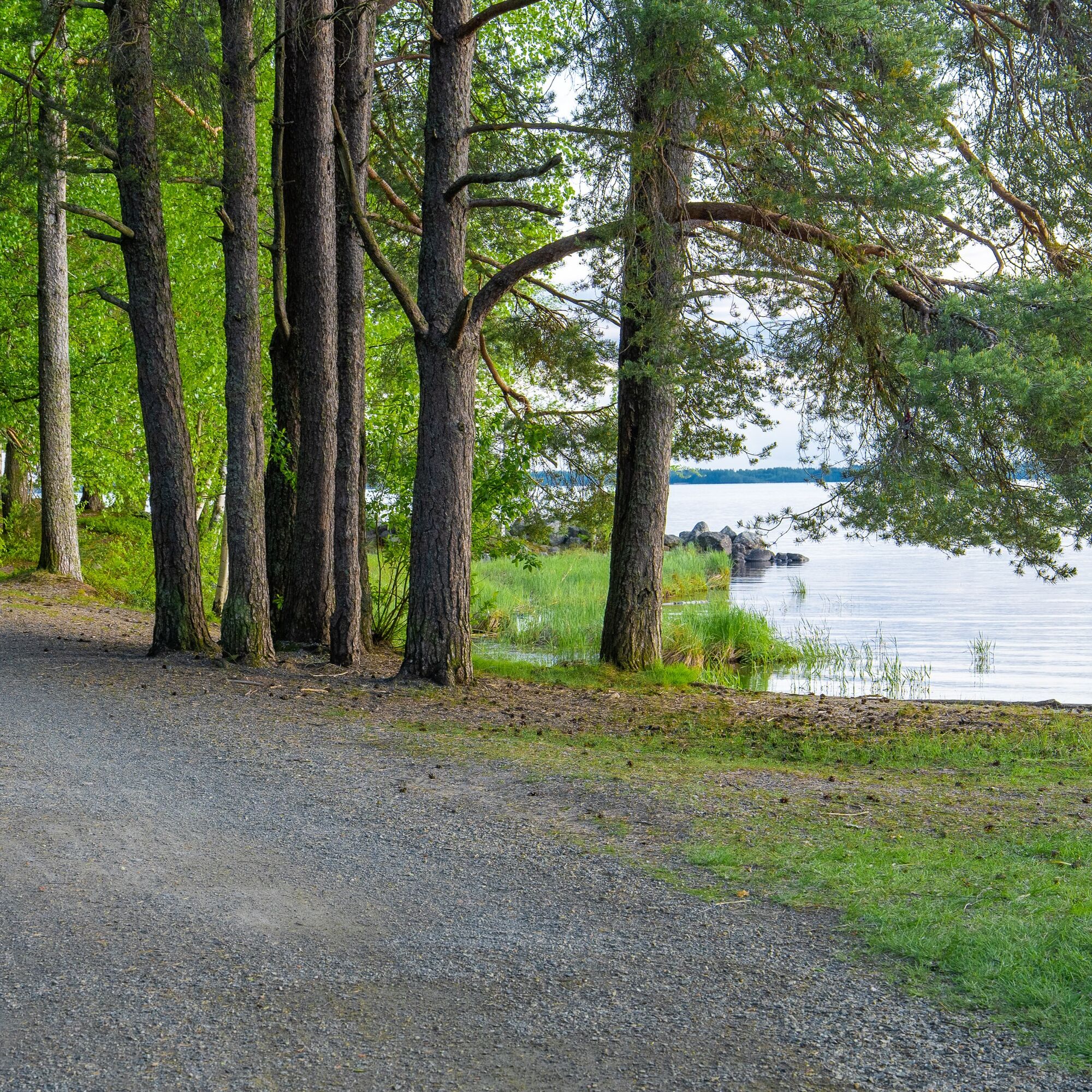
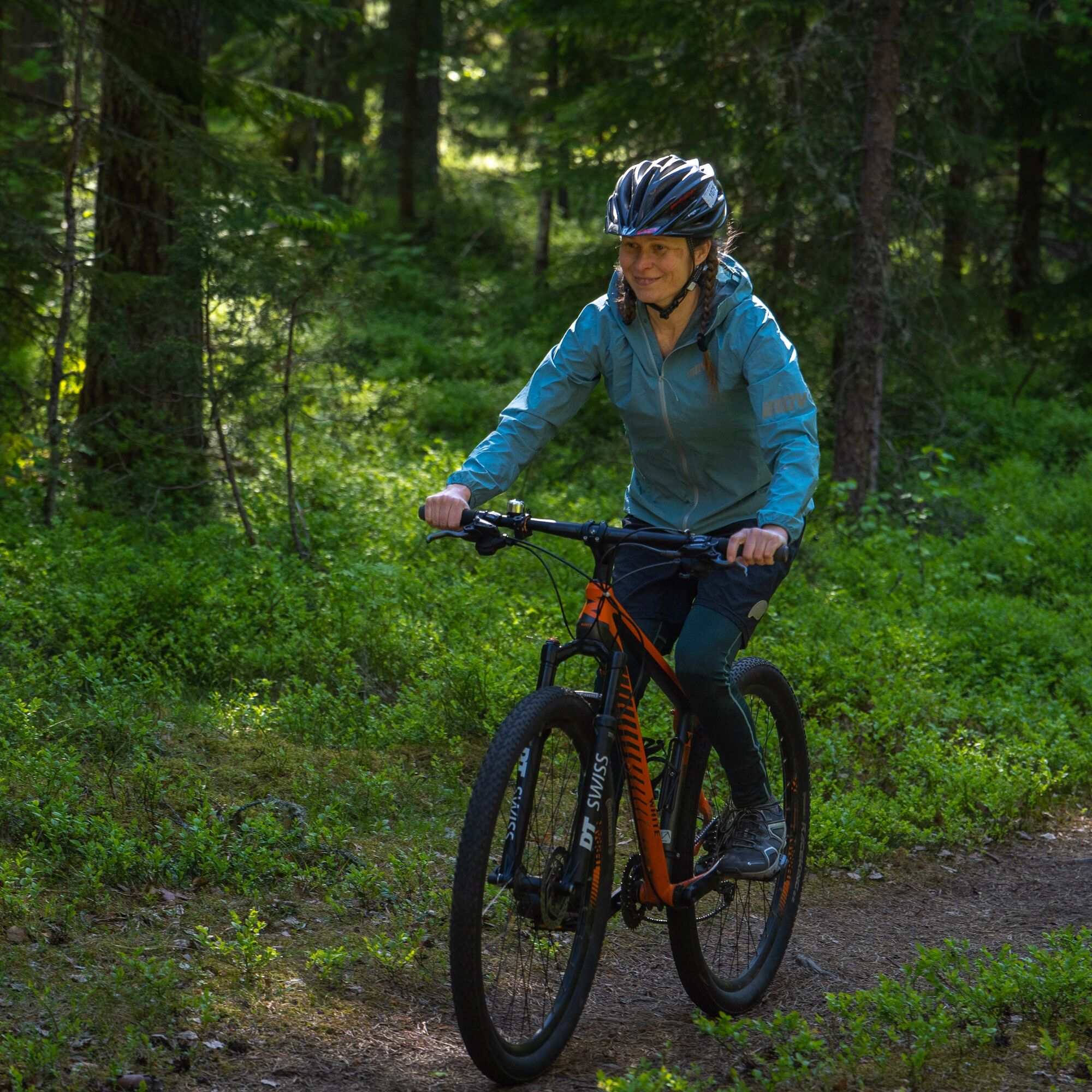
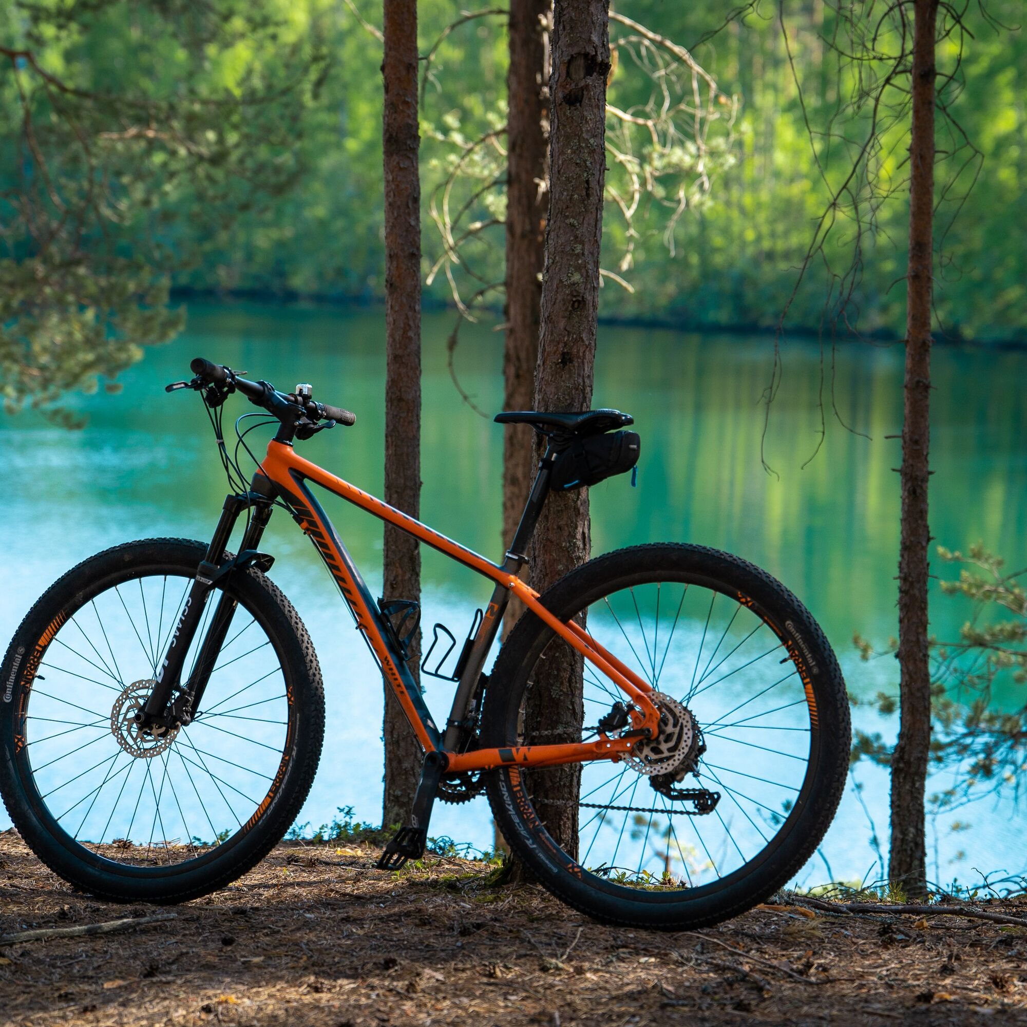
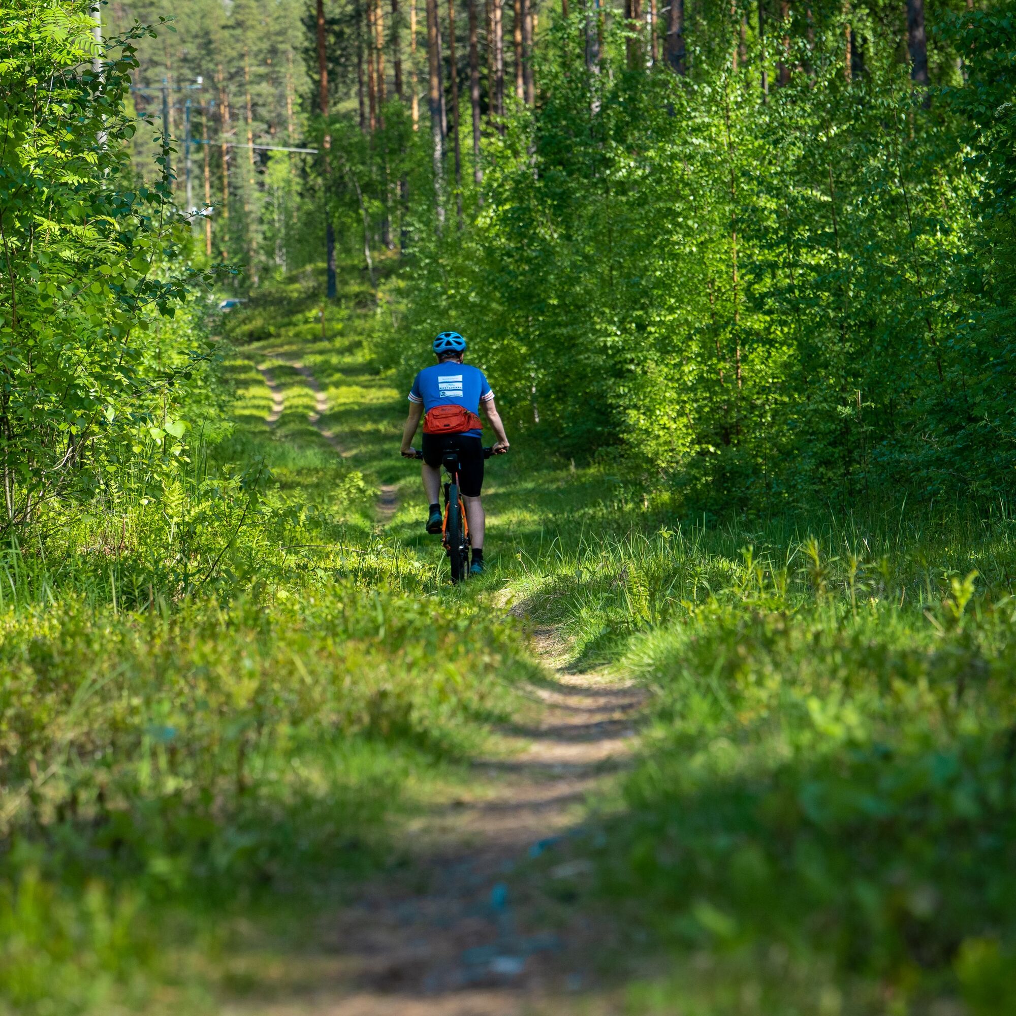
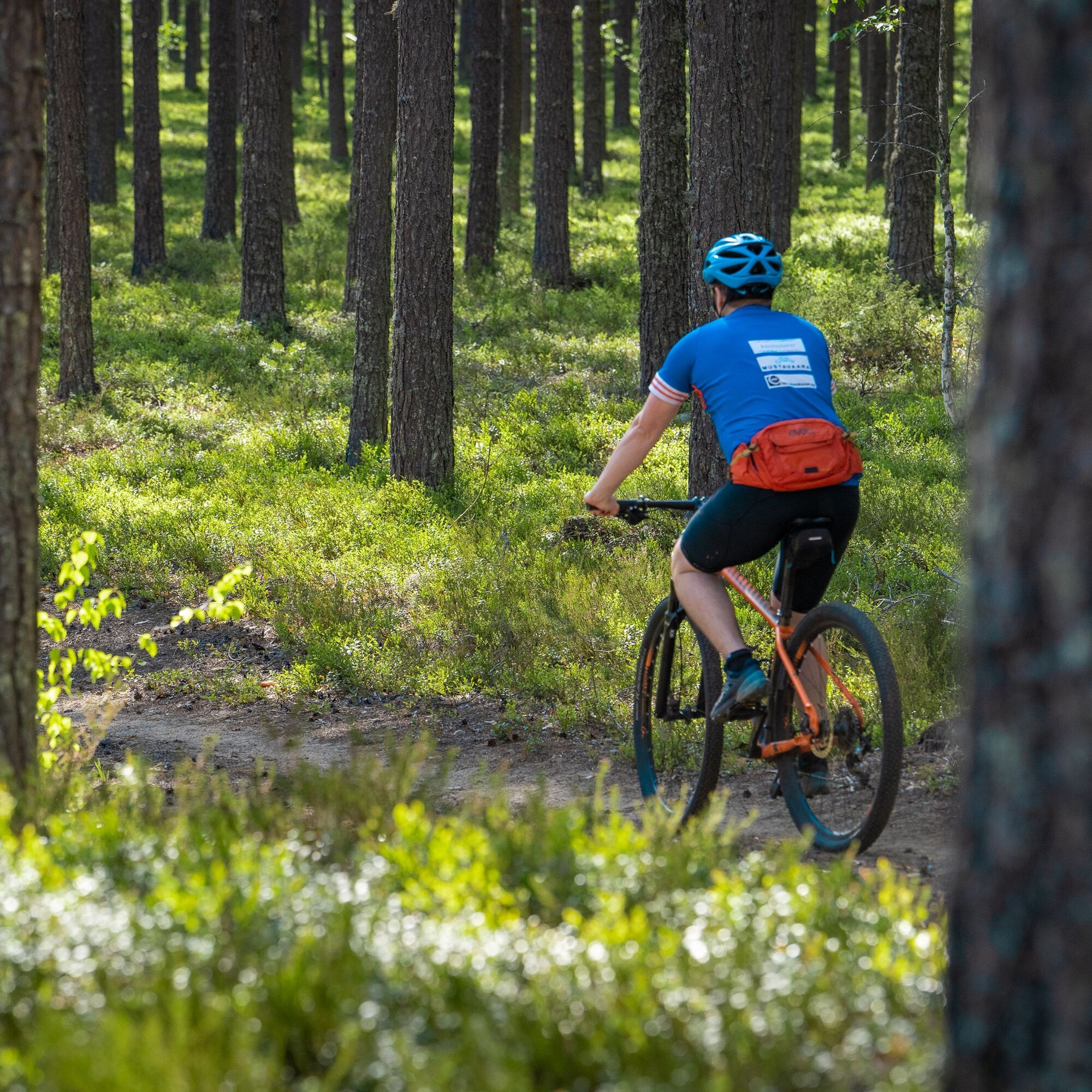

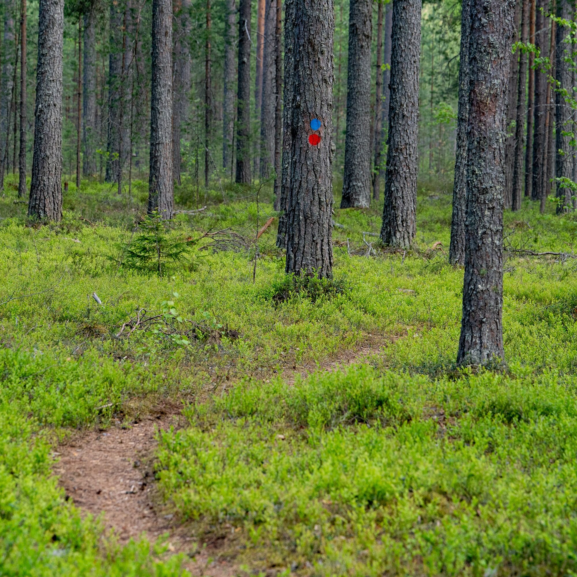

From Jokiasema, follow the orange signs of the Jaama Trail towards Lykynlampe. At the beginning you pass the Joensuu Song Festival on the left side. When you reach the Lykynlampi hut, first follow the blue Lykynlampi Trail, then the purple Connecting Trail, then the yellow Mertalampi Trail, then the purple Connecting Trail, then the blue Lykynlampi Trail, and then you are back at the Lykynlampi hut. From here we take another butterfly loop along the Lykyn trails around Lykyn Pond along the red Lykynvaara Trail. Back from Lykynlamm to the river station, follow the orange Jaama Trail, whose signposts are sometimes broken in the urban area. For this reason, you should be prepared with a gpx file on your smart device.
Ano
Ano
Ano
In rainy weather, stones and rhizomes are slippery.
Take a small first aid kit
Download the 112 app on your smartphone
The starting point of the route is located 2 km from Joensuu market square, so it is easy to get there by local transport, bus and train. The Jaama Trail runs 500 m from Joensuu train and bus stations and the market square, so you can start the route from there. Places along the route, such as Lykynlampi, Lehmo sports centre and Utra islands are easily accessible by local bus. For more detailed timetables see https://jojo.joensuu.fi/ .
It is worth downloading a gpx file for tracking the route.
River station
Café Relaxo
ABC in Marjala
Lykynlammi outdoor hut
Joensuu city centre services
Oblíbené prohlídky v okolí
-
Liperin Kinttupolut (the easiest trails accessed from Kaprakka)
světloMountainbike 28.2 km -
Lykynlampi (Winter) Trail, Lykynpolut
světloMountainbike 5.20 km -
Jaama Trail, easy circular route around Joensuu
světloMountainbike 59.4 km -
Surmilampi Trail, Liperin Kinttupolut
středníTrailrunning 6.55 km -
Joy of riding, the best parts of Joensuu region routes 184 km
středníMountainbike 184.3 km -
Jyri Trail, Liperi Kinttupolut
středníTrailrunning 16.0 km -
The best parts of Kontionpolku
středníMountainbike 40.8 km -
Kuhasalo accessible route
světloTuristika 3.36 km -
Pahakala Trail, Liperin Kinttupolut
světloTuristika 12.3 km -
Kontioniemi Trail
středníTuristika 8.98 km
Pěší turistika a stopování


Nenechte si ujít nabídky a inspiraci pro vaši příští dovolenou
Vaše e-mailová adresa byl přidán do poštovního seznamu.





