







AVU Alta Via dei Lupi | Stage 8 Ellena-Soria refuge - Genoa-Figari refuge

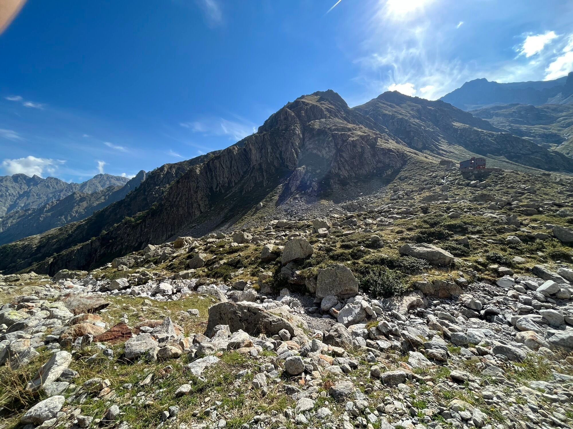
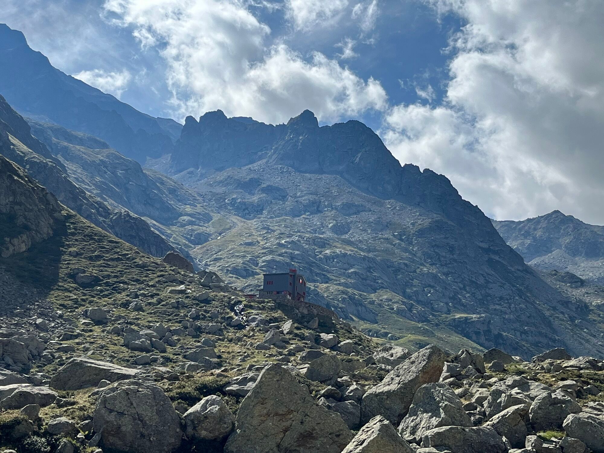
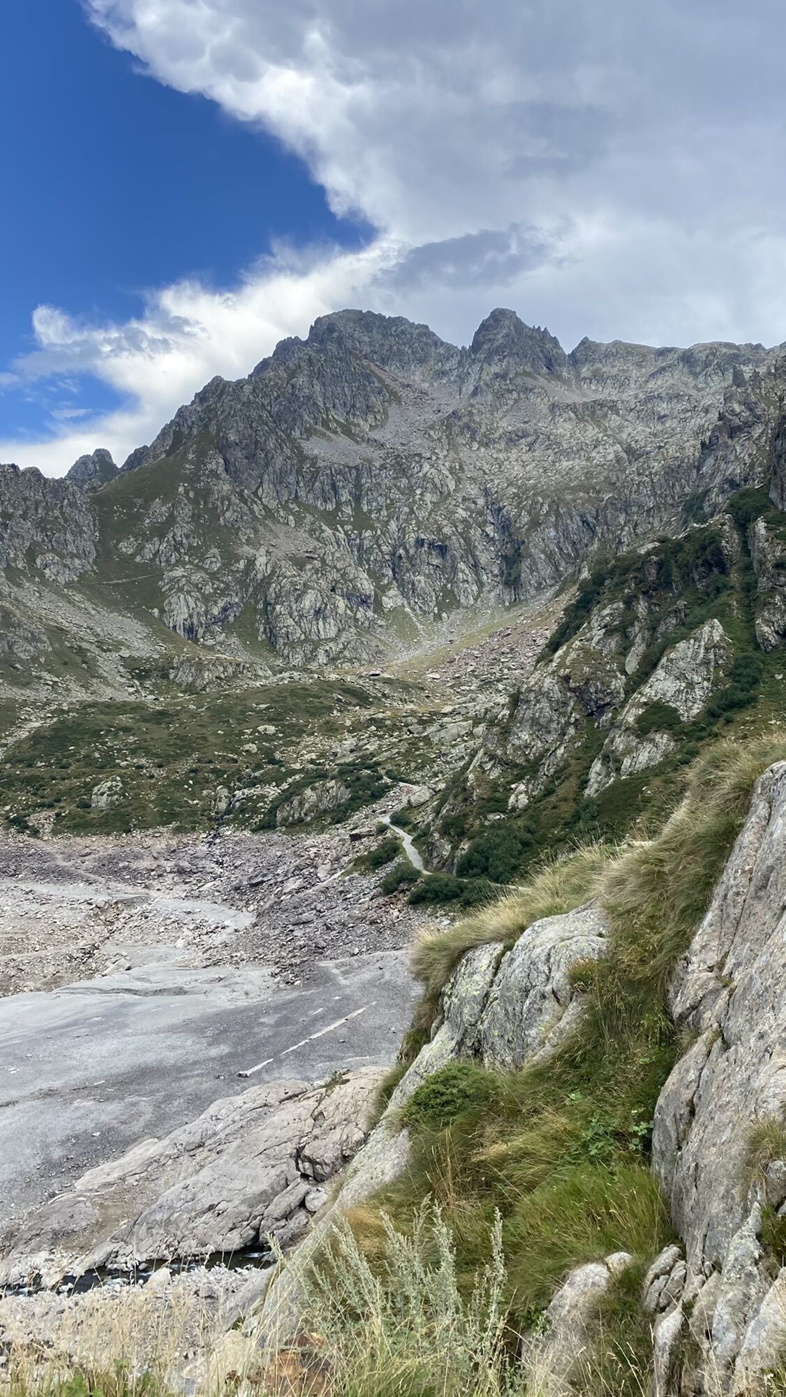

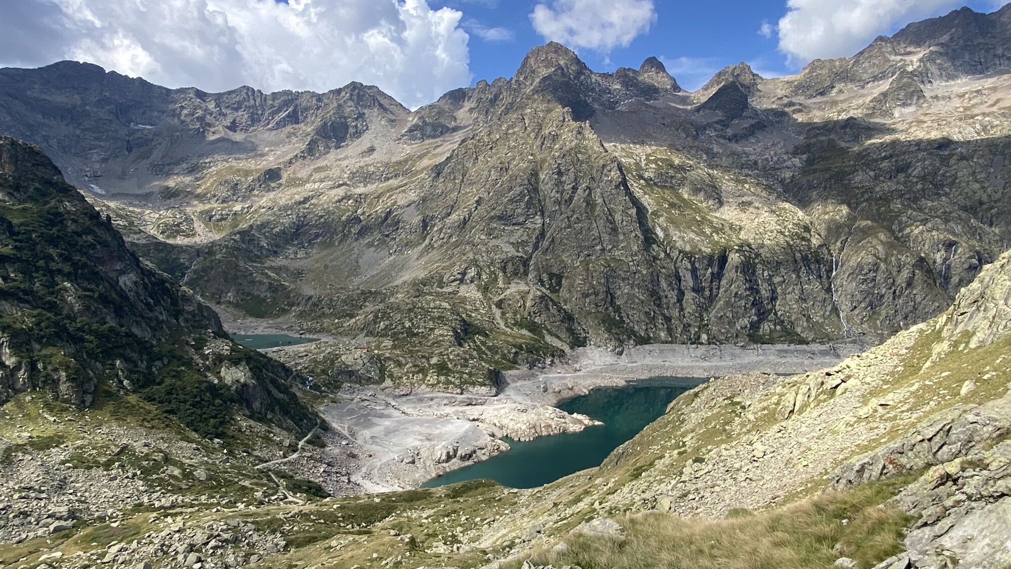
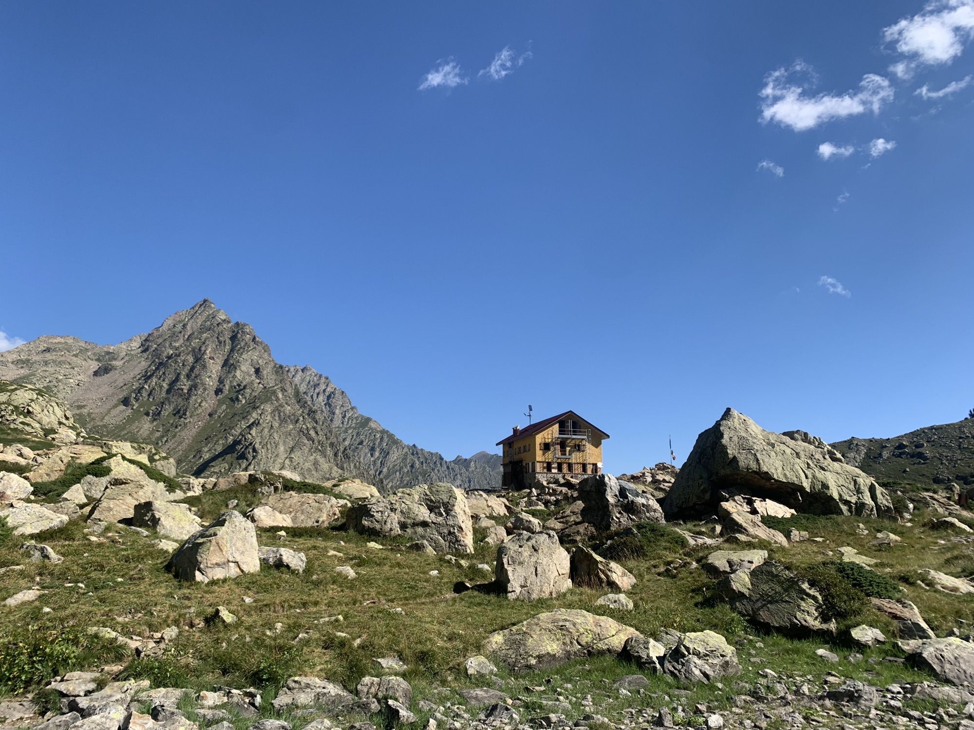
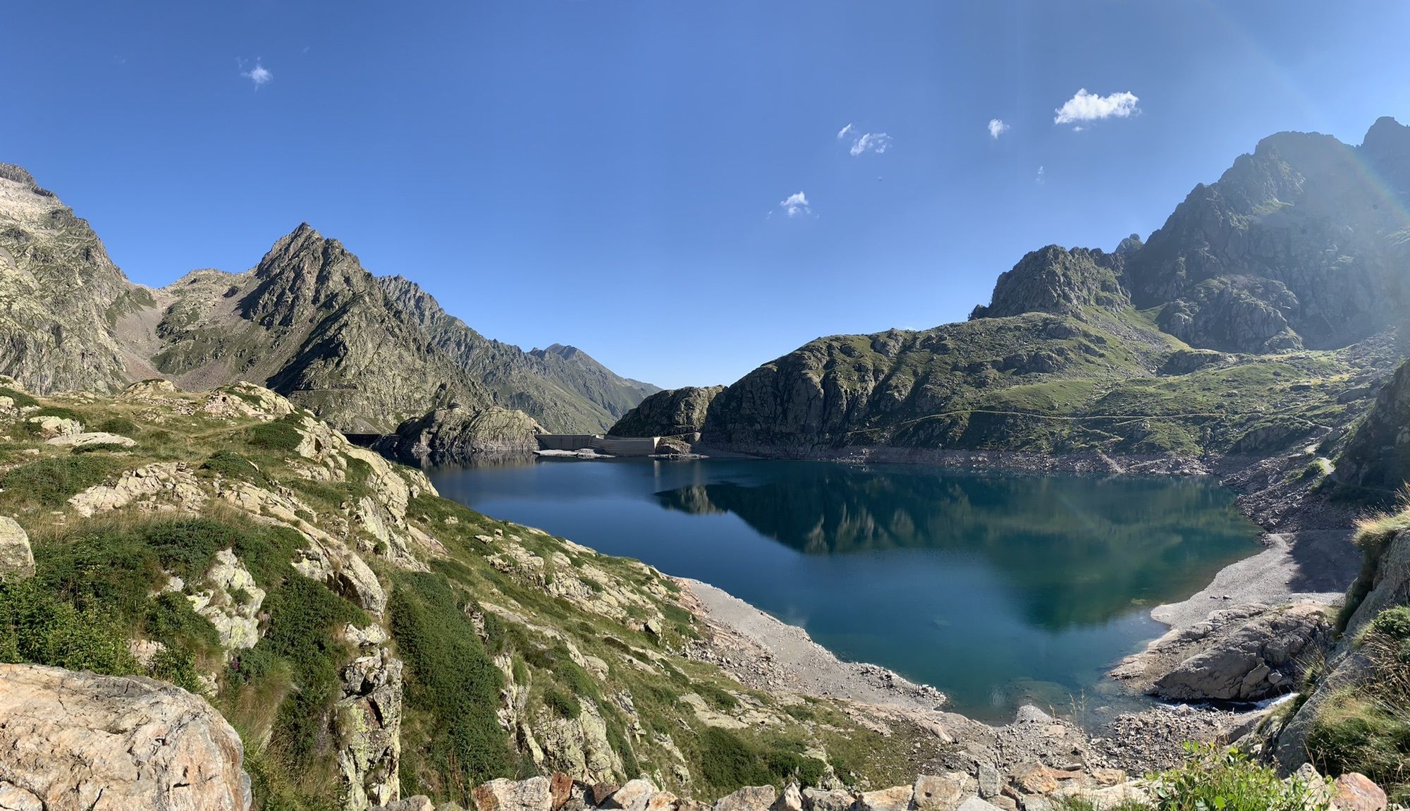
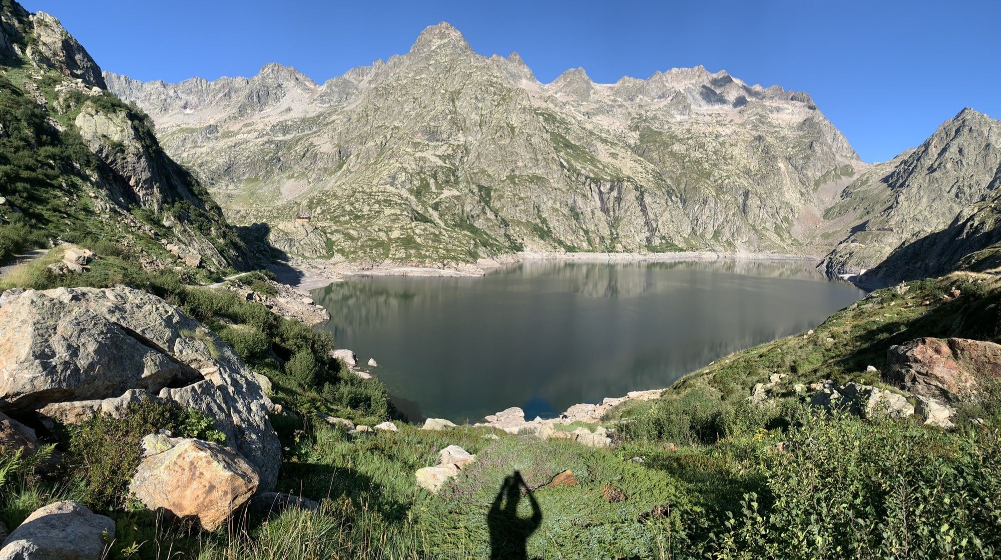
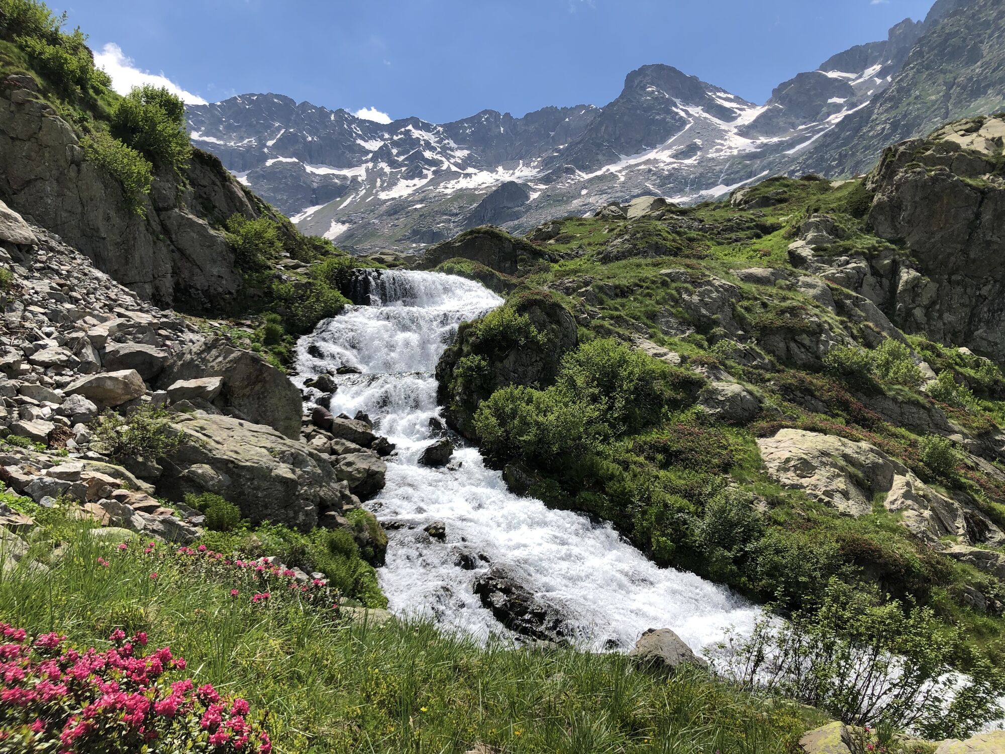
From the Ellena-Soria refuge, the M10 mule track branches off to the right, which climbs towards the North West, passes near the Gias Alvé (1840 m) and climbs with numerous hairpin bends on the orographic...
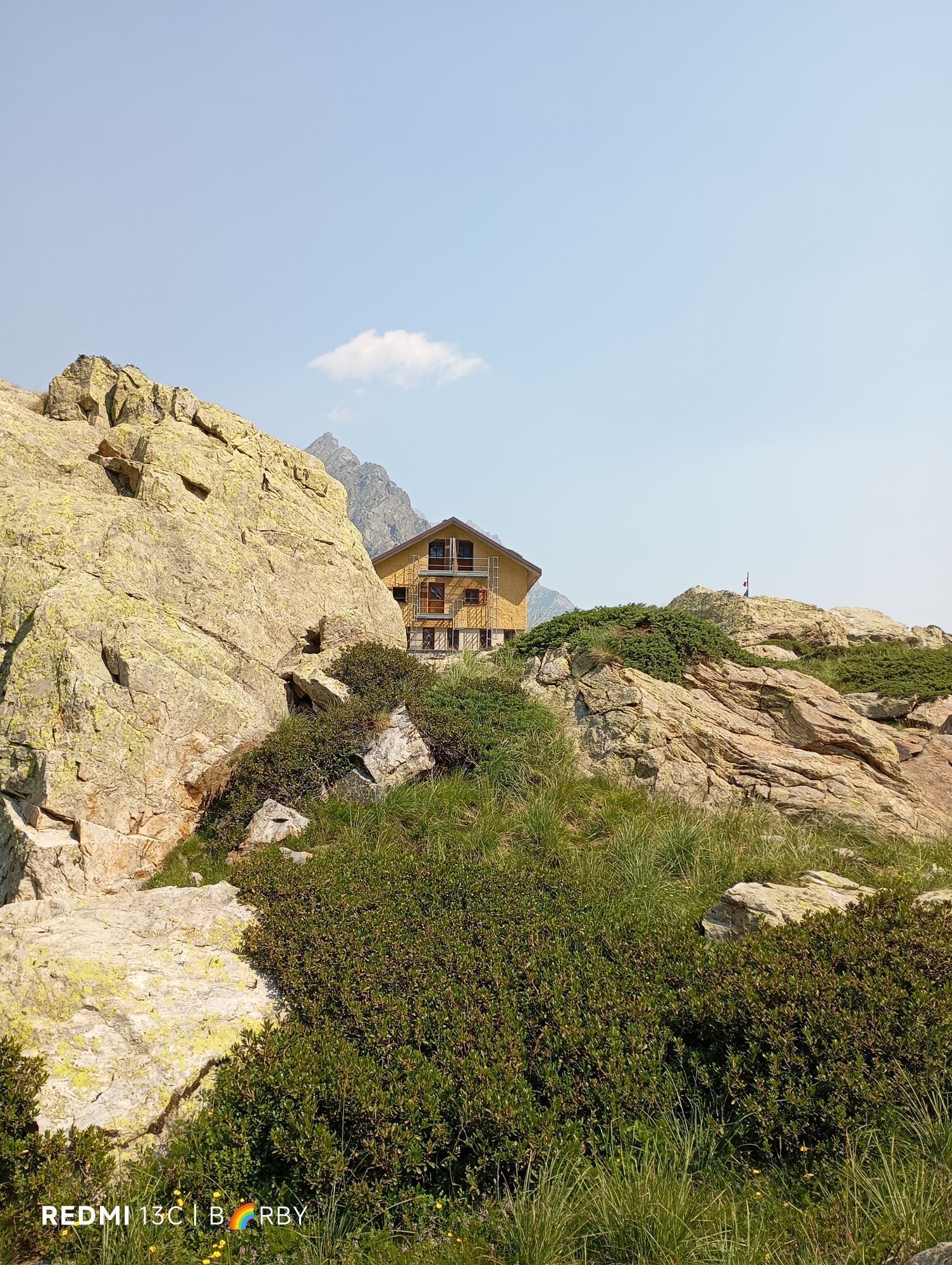
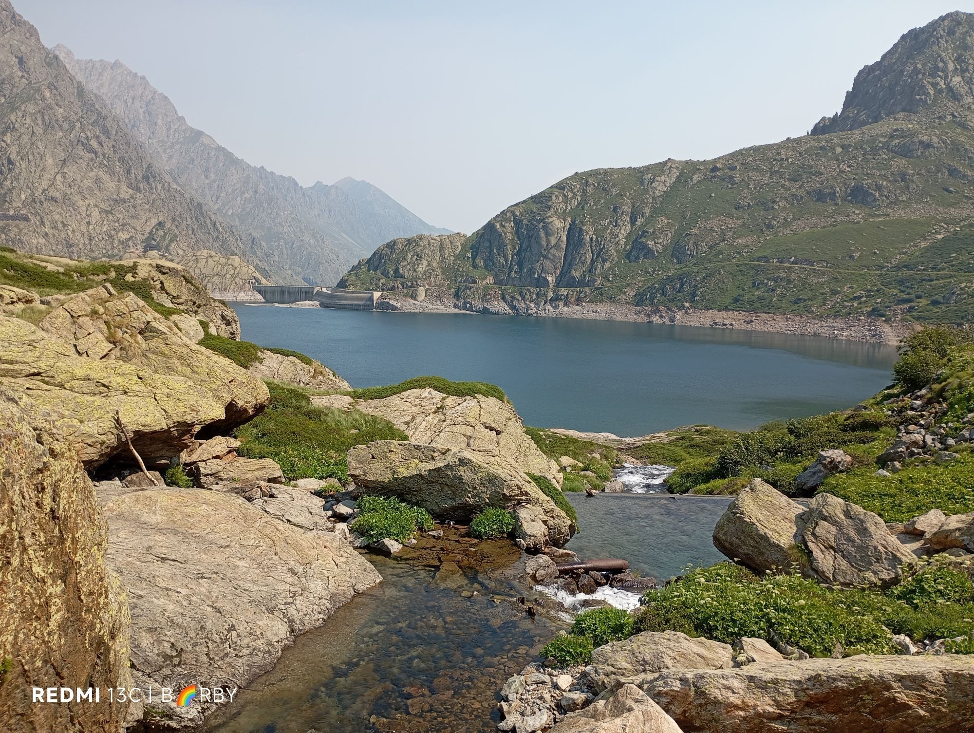
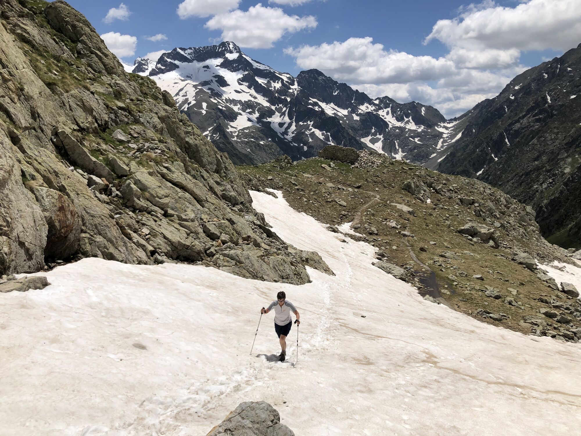
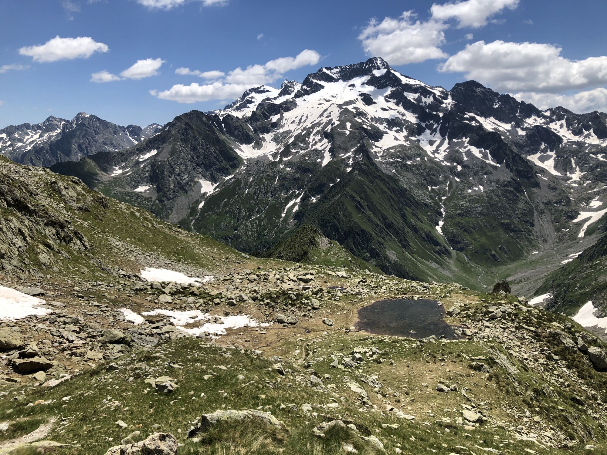
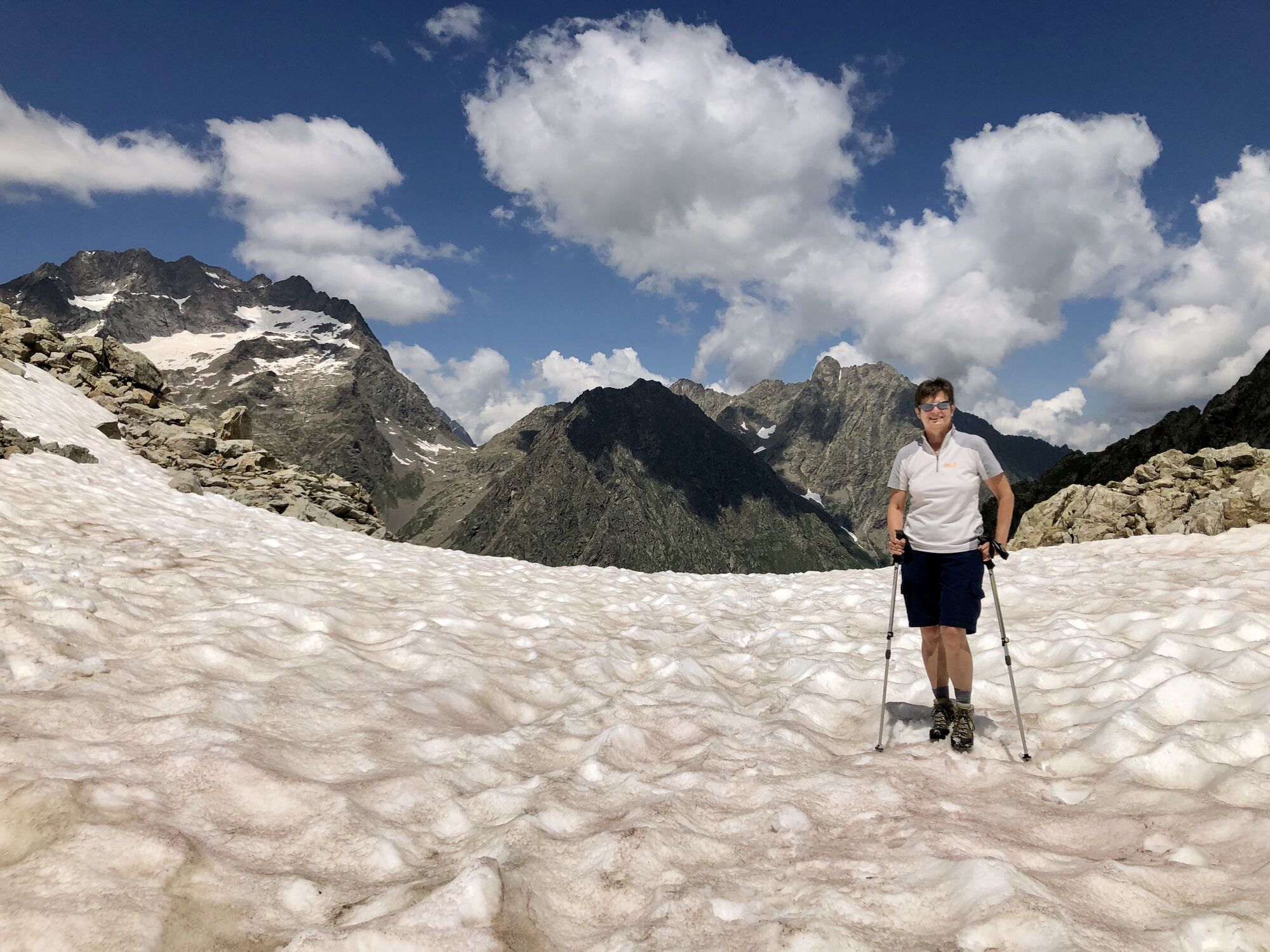
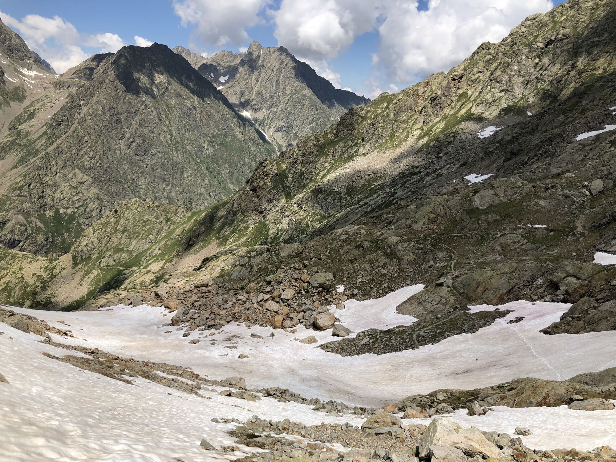
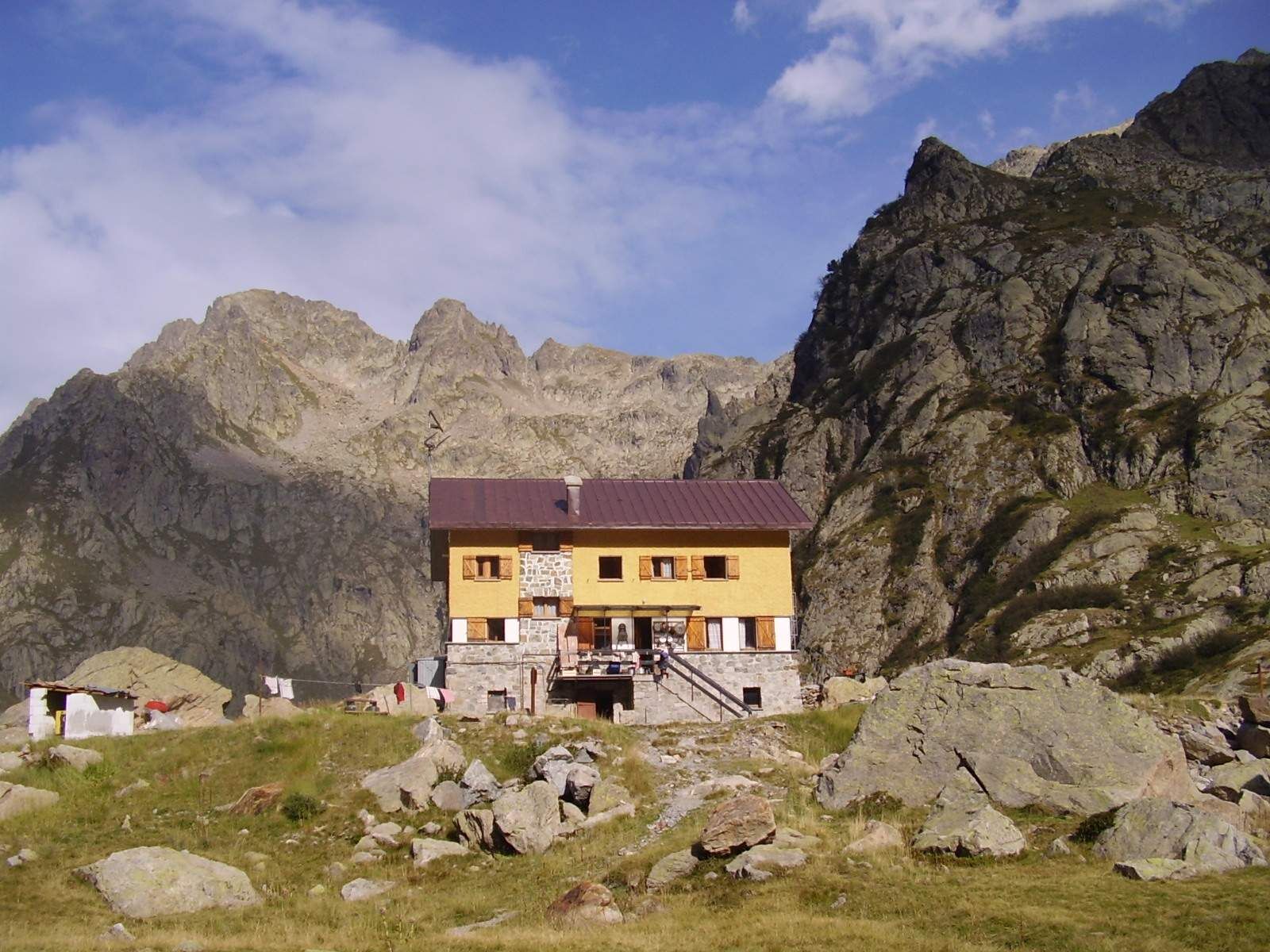
From the Ellena-Soria refuge, the M10 mule track branches off to the right, which climbs towards the North West, passes near the Gias Alvé (1840 m) and climbs with numerous hairpin bends on the orographic left of the Fenestrelle Valley. The mule track reaches the ruins of Gias Balmetta (2157 m), then leaves the track to the right for Gias Confurci (2281 m). From here it passes the top part of the valley, passes a small lake (c. 2410 m), a ruined former military shelter and reaches the Gesso della Barra-Rovina watershed, where Colle di Fenestrelle opens up (2463 m). From the pass, the M10 path, past some pools of water, descends northwards on the slope of the Rovina (Chiotàs Basin) with a tortuous route, then, after a short climb, it takes you to the western slopes of Punta Ciamberline, from here it continues with a semi-circular route, the descent until connecting, at a height of c. 2000 m, to the cart track (M8) which, beyond the Chiotàs basin, quickly reaches the Genova-Figari refuge (2010 m) on the shore of Lake Bròcan.



Oblíbené prohlídky v okolí
-
The Salt Roads: The Pagarine Route
střednídálková pěší trasa 159.7 km -
5.0
AVU Alta Via dei Lupi | Stage 8A Lake Brocan - Terme di Valdieri
středníTuristika 14.3 km -
5.0
AVU Alta Via dei Lupi | Stage 7 San Giacomo di Entracque - Ellena-Soria refuge
středníTuristika 6.15 km -
The Madonna of Fenestre - San Giacomo di Entracque / Pagarine route (stage 7)
středníTuristika 13.3 km -
5.0
Goldtoni - Alpenbogen A104 Refuge des Merveilles-Refuge de la Modena de Fenestre
střednídálková pěší trasa 18.6 km -
Great Crossing of the Alps - South Piedmont
heavydálková pěší trasa 249.2 km -
5.0
Goldtoni - Alpenbogen A105 Refuge de la Modena de Fenestre-Refugio Morelli Buzzi
střednídálková pěší trasa 24.8 km -
5.0
AVU Alta Via dei Lupi | Stage 10 Franco Remondino refuge - Valdieri thermal baths
středníTuristika 9.47 km -
4.5
Historic Mountain Routes | Strada del Pagari
heavyTuristika 11.3 km -
1.0
Durch das Valle di rio freddo
středníTuristika 15.7 km
Pěší turistika a stopování


Nenechte si ujít nabídky a inspiraci pro vaši příští dovolenou
Vaše e-mailová adresa byl přidán do poštovního seznamu.





