







USSEGLIO Margone - Malciaussia loop via Lake Falin and the tracciolino

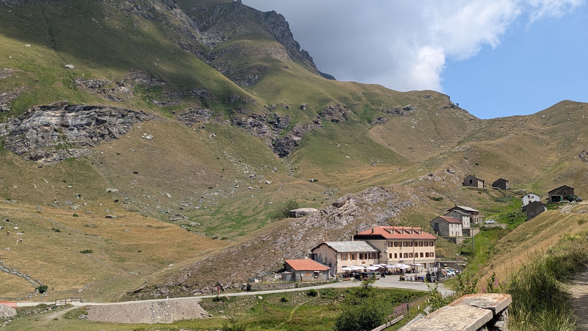
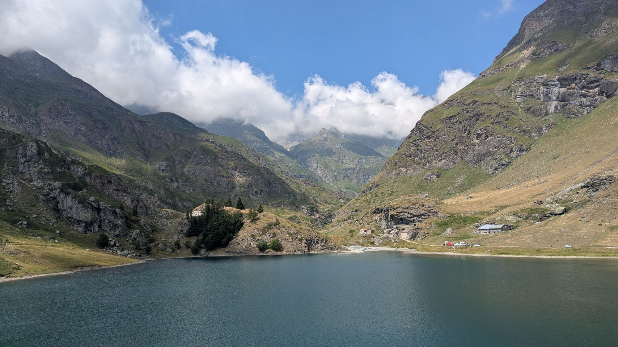
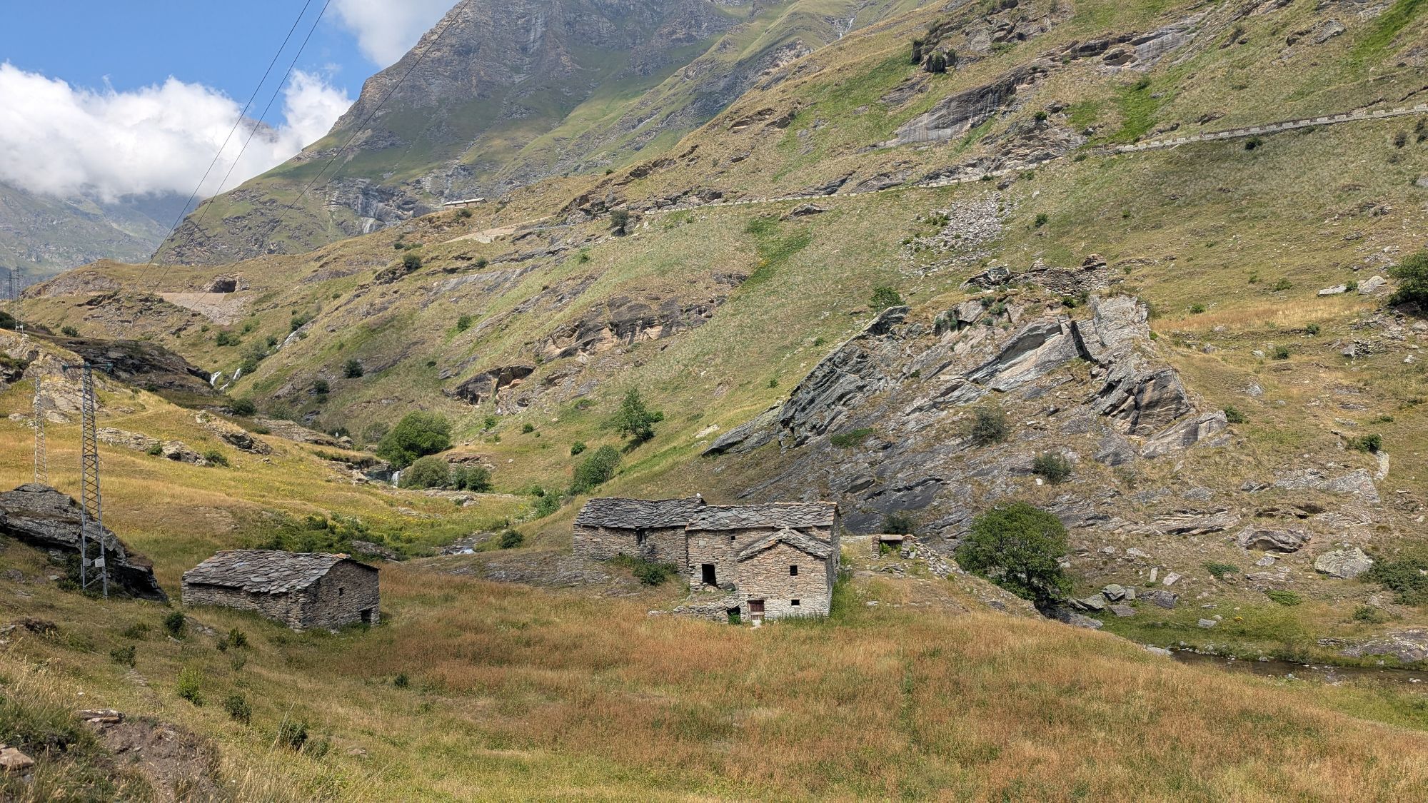
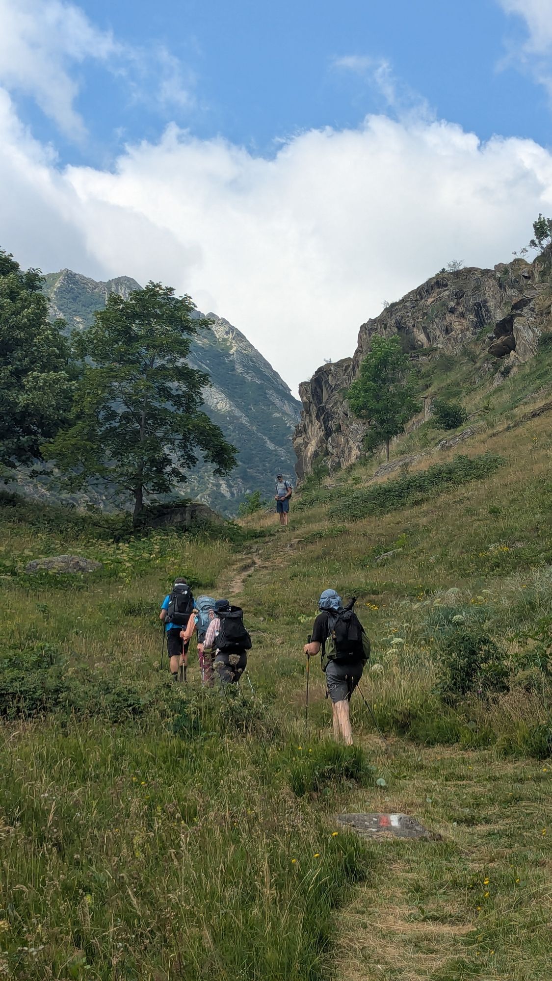
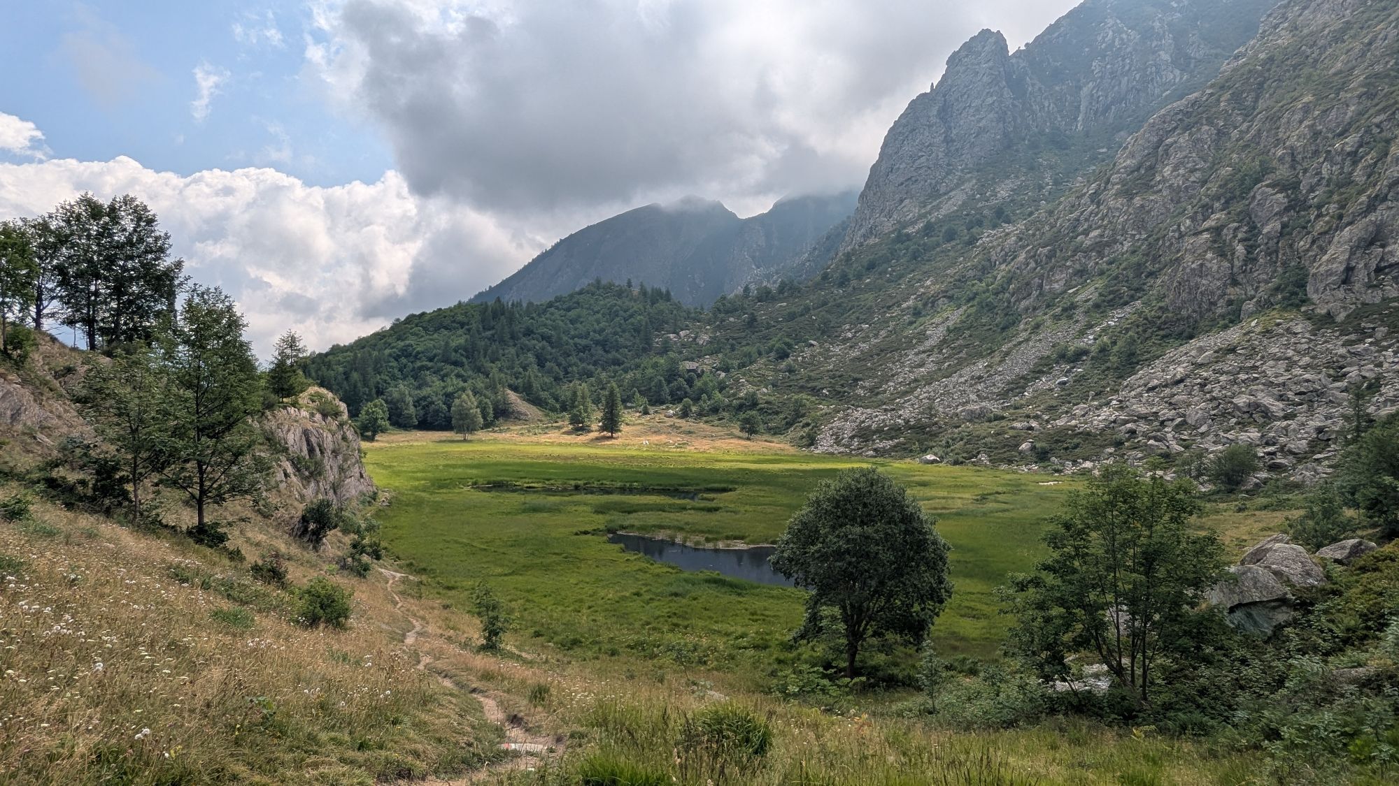
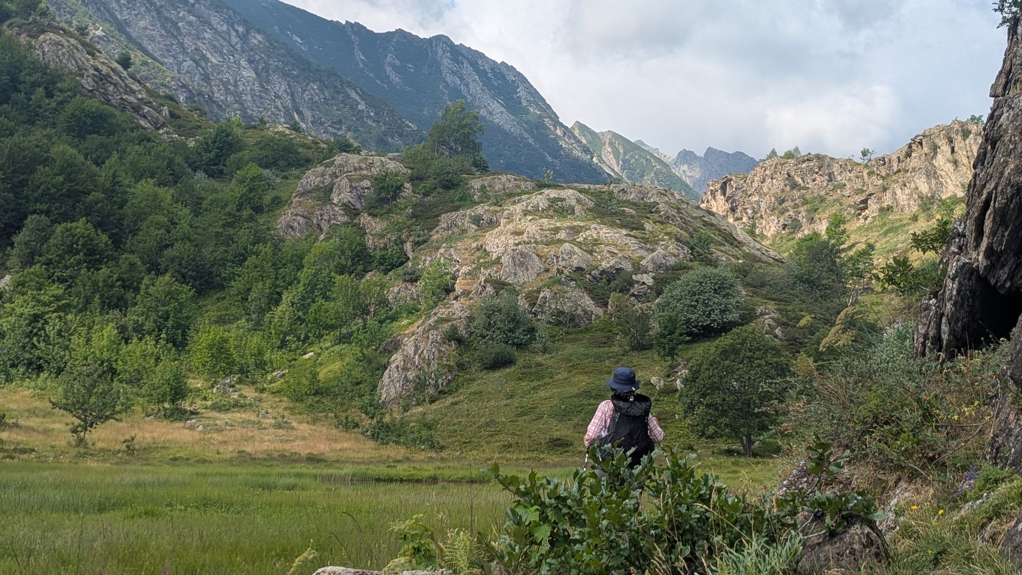
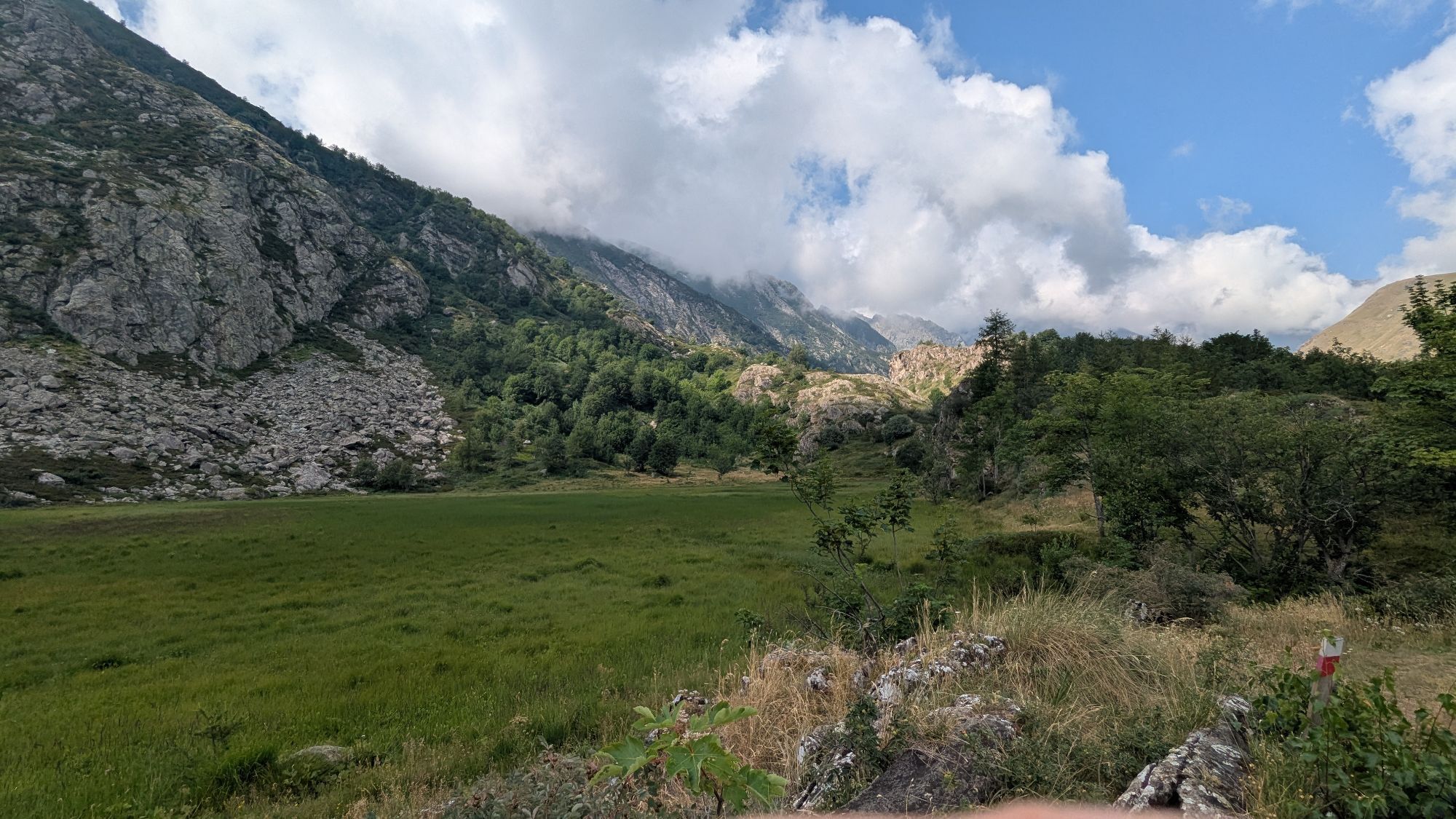
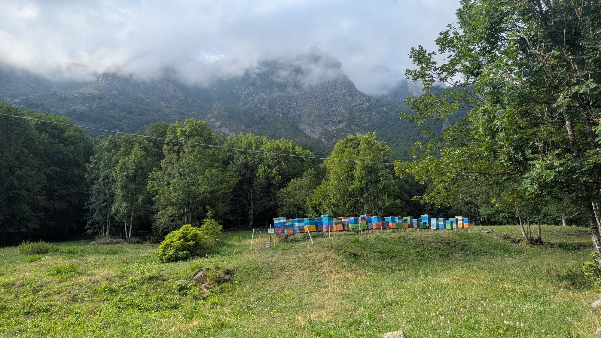
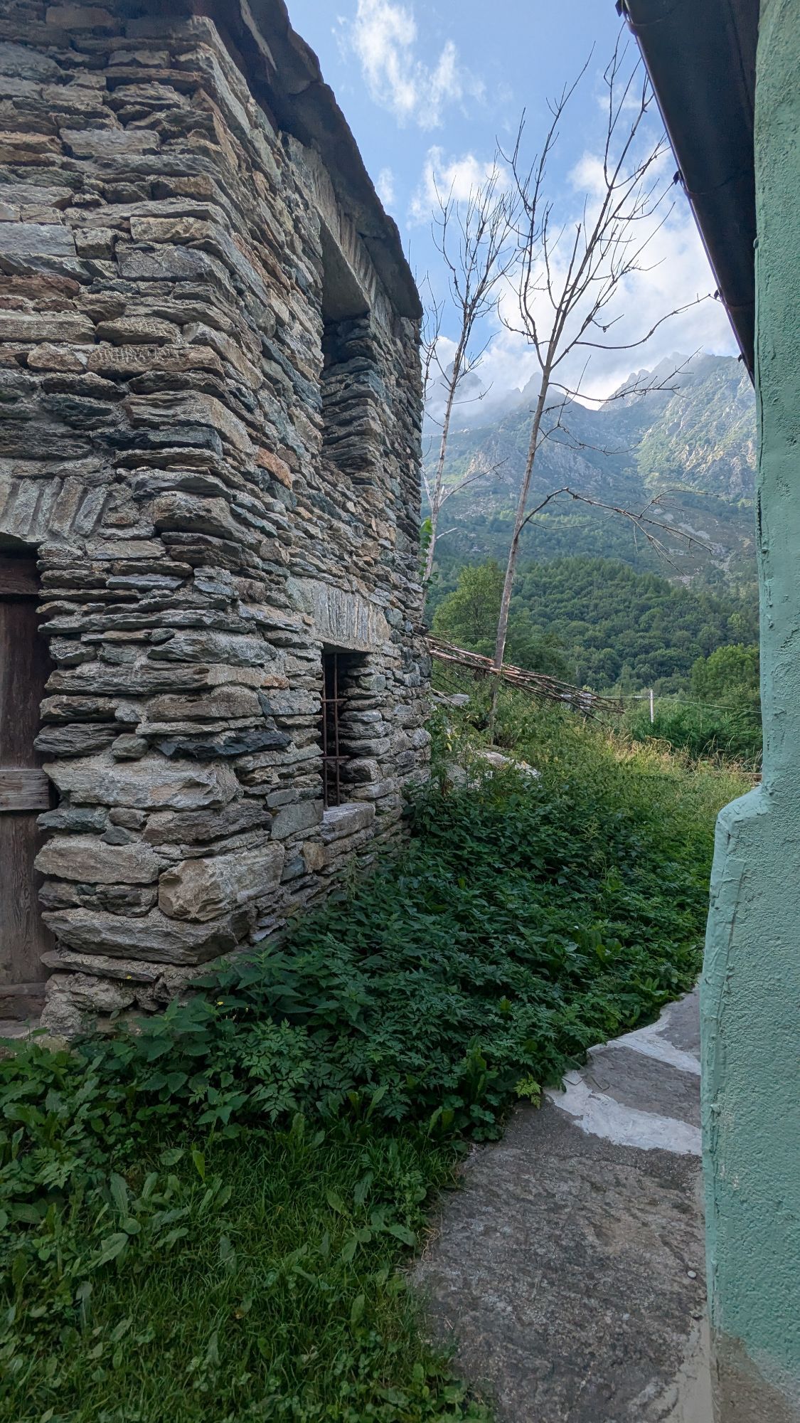
The first part of the ascent takes place in a wooded stretch almost up to Lake Falin, a small lake slowly silting up. Going up to the lake, you cross pastures that host colorful blooms in late spring /...
The first part of the ascent takes place in a wooded stretch almost up to Lake Falin, a small lake slowly silting up. Going up to the lake, you cross pastures that host colorful blooms in late spring / early summer.
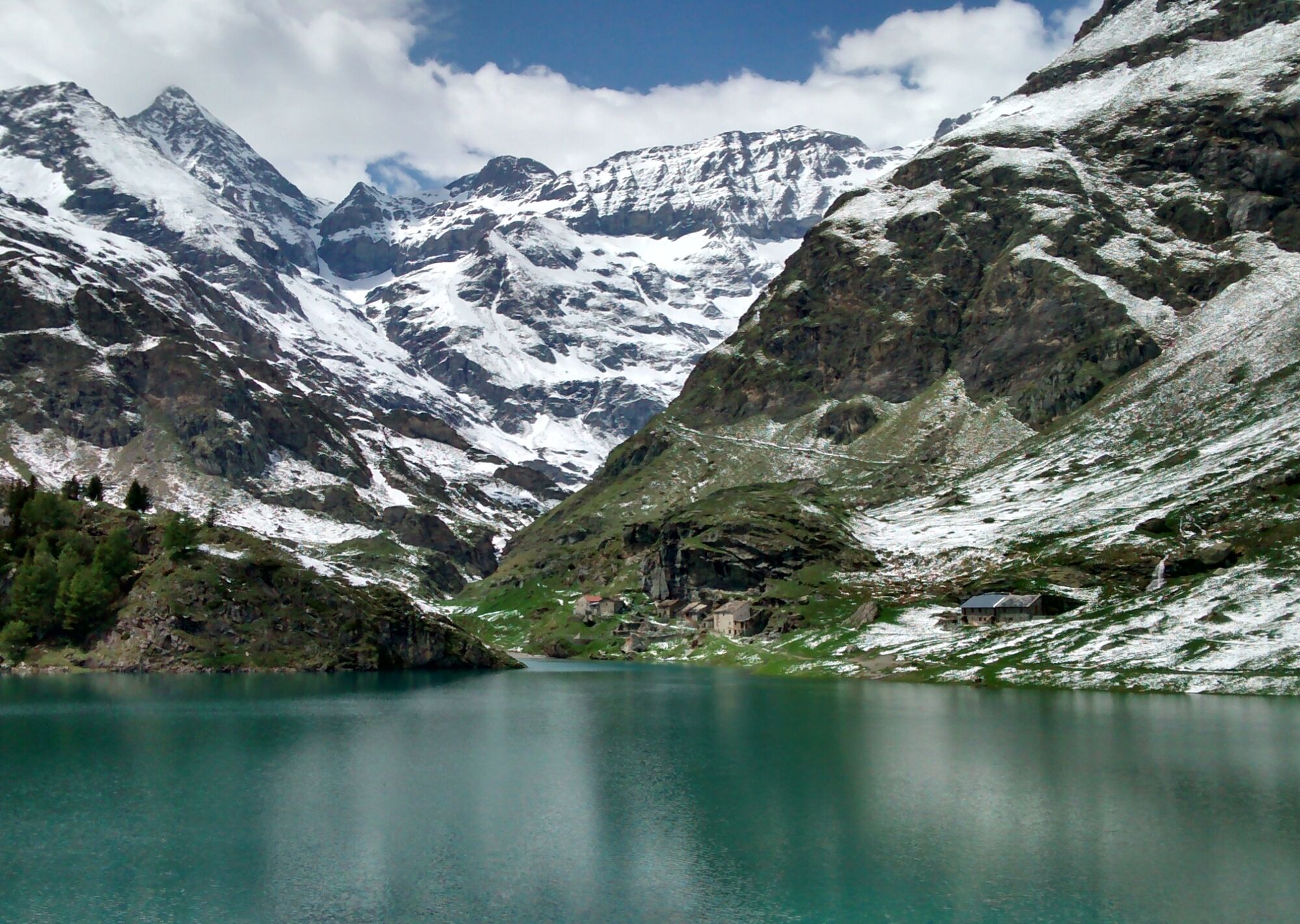
Lake Malciaussia is instead a large artificial basin (also accessible by car in summer) hosting a refuge and some old huts. Its scenic position makes it perfect for a long relaxing break.
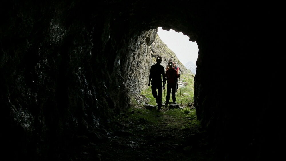
The tracciolino (decauville) is the old narrow-gauge train track that brought materials from the Margone power plant to the Malciaussia dam built in the early 1900s, with a mid-slope route that cuts across a very steep and panoramic slope. The path is slightly exposed in some parts and has some fixed rope sections to ease passages (not suitable for those with vertigo). There is also a short tunnel section.
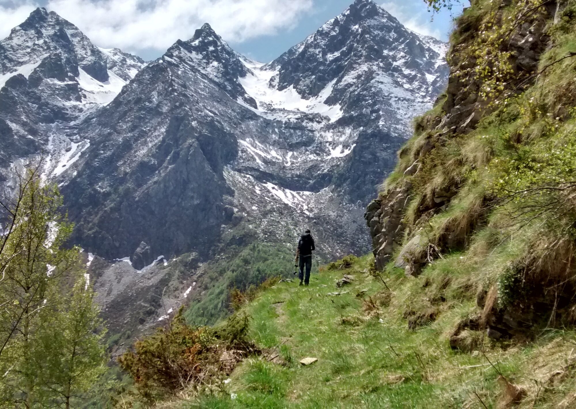
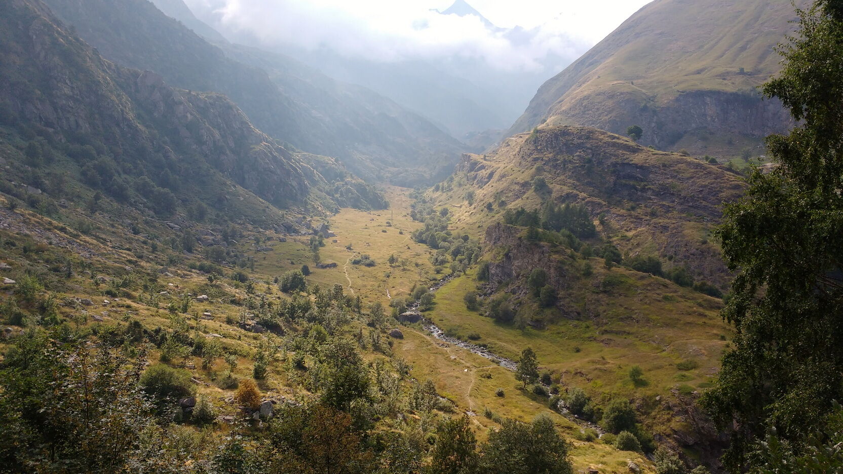
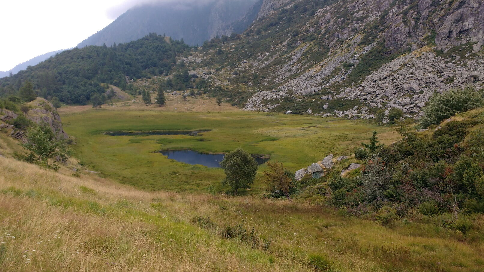

From the parking lot, continue on the paved road for about 50 m, then turn left along a side alley leading to a bridge; after crossing it, the path continues on the right along the Stura stream. Continue to follow the path which stays on the right bank and soon starts to climb steeply through the woods to reach the edge of Lake Falin. Follow the small lake; after a short climb, the path descends to join another path. Take a left uphill and continue until, near the dam, the trail first crosses the stream and then climbs up to the paved road. Turning left, you reach Lake Malciaussia in five minutes.
To return, go back along the paved road, surpass the junction from which you came by a few hundred meters until you find the start of the tracciolino (decauville) on the left. Shortly after, there is a point with a fixed rope to overcome a rock drop. From there, the path continues for several kilometers more or less flat, passing a small tunnel and some side streams (some sections of fixed rope to facilitate passage).
When you reach the path from Margone to the Cibrario refuge, turn right. The path is all downhill and leads to Margone, the starting point.
The loop can be done in either direction: I suggested this route to facilitate the passage with the fixed rope near Malciaussia, which is easier to manage when going uphill.
Non-slip sole footwear, wind/rain protection, a warm layer, hat and sunglasses, water supply, portable light such as a headlamp, food are recommended.
Sometimes in May there are still avalanche snowfields in the ravines that can be tricky to cross without proper equipment.
Follow provincial road 32 to the hamlet of Margone (Usseglio)
In the village of Margone, next to the provincial road, there is a large parking lot
The tracciolino path should not be attempted if you suffer from vertigo or exposed points.
Oblíbené prohlídky v okolí
-
4.5
Rocciamelone partedjo dalla Riposa. Mompantero, Piemont/Italien
středníTuristika 10.6 km -
5.0
BALME Green Lakes and Lago Paschiet
středníTuristika 7.51 km -
4.5
Hiking at Lake Clair
heavyTuristika 6.99 km -
5.0
BALME Arnas Ring - Pian della Mussa
heavyTuristika 13.6 km -
USSEGLIO Lake Nero from Lake Malciaussia
světloTuristika 4.79 km -
5.0
LEMIE Ovarda Lakes loop
heavyTuristika 15.9 km -
5.0
Alta Via delle Valli di Lanzo | Stage 4 Rifugio Citt di Ciri - Rifugio Cibrario
heavyTuristika 12.0 km -
4.7
High Way of the Lanzo Valleys | Stage 6 Tazzetti Refuge - Lake of Malciaussia
středníTuristika 5.49 km -
SUSA From Susa to Rocciamelone
heavyTuristika 13.7 km -
USSEGLIO Lake behind the Tower and of the Rossa
heavyTuristika 17.1 km
Pěší turistika a stopování


Nenechte si ujít nabídky a inspiraci pro vaši příští dovolenou
Vaše e-mailová adresa byl přidán do poštovního seznamu.





