







High Way of the Lanzo Valleys | Stage 6 Tazzetti Refuge - Lake of Malciaussia

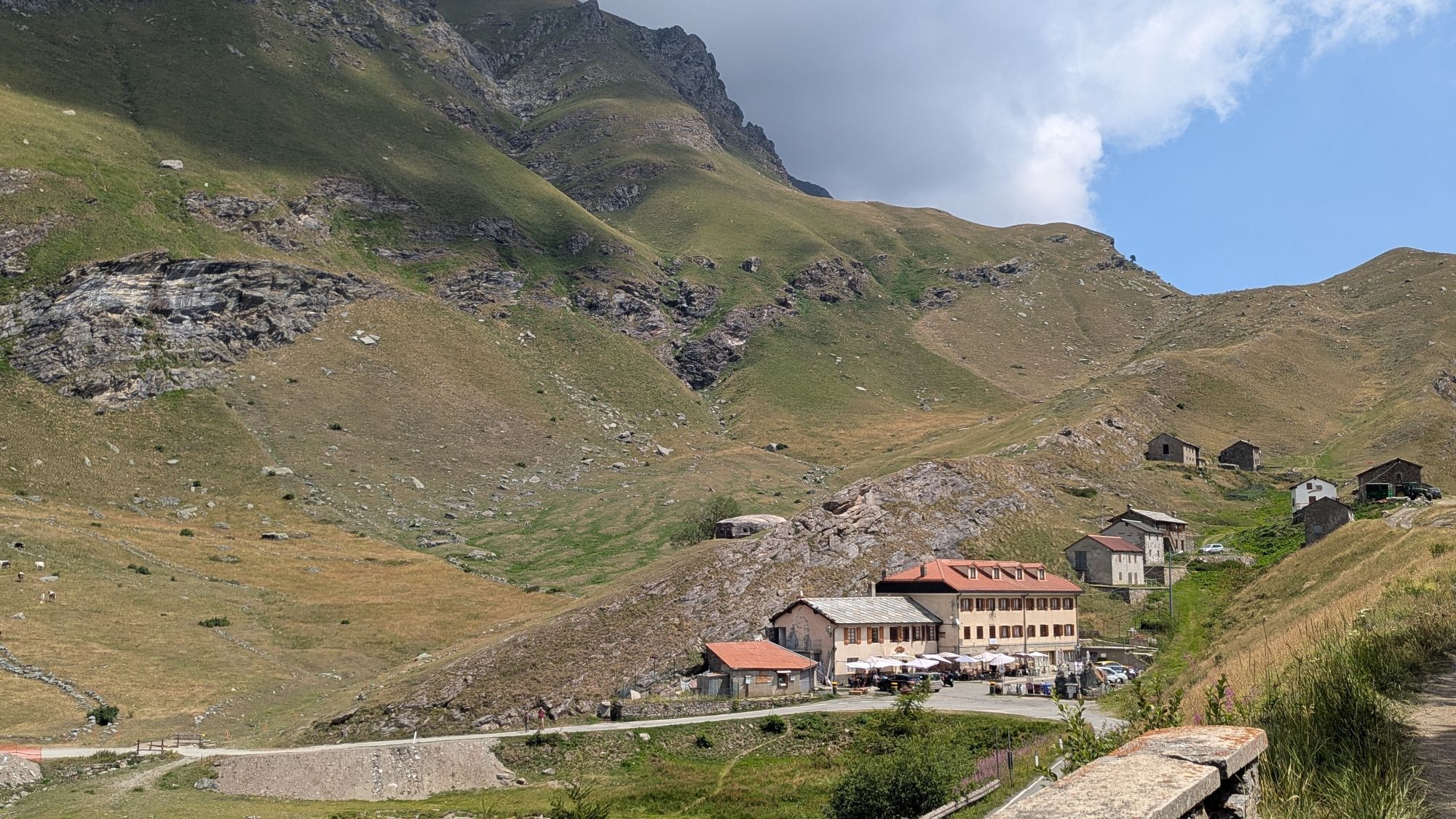
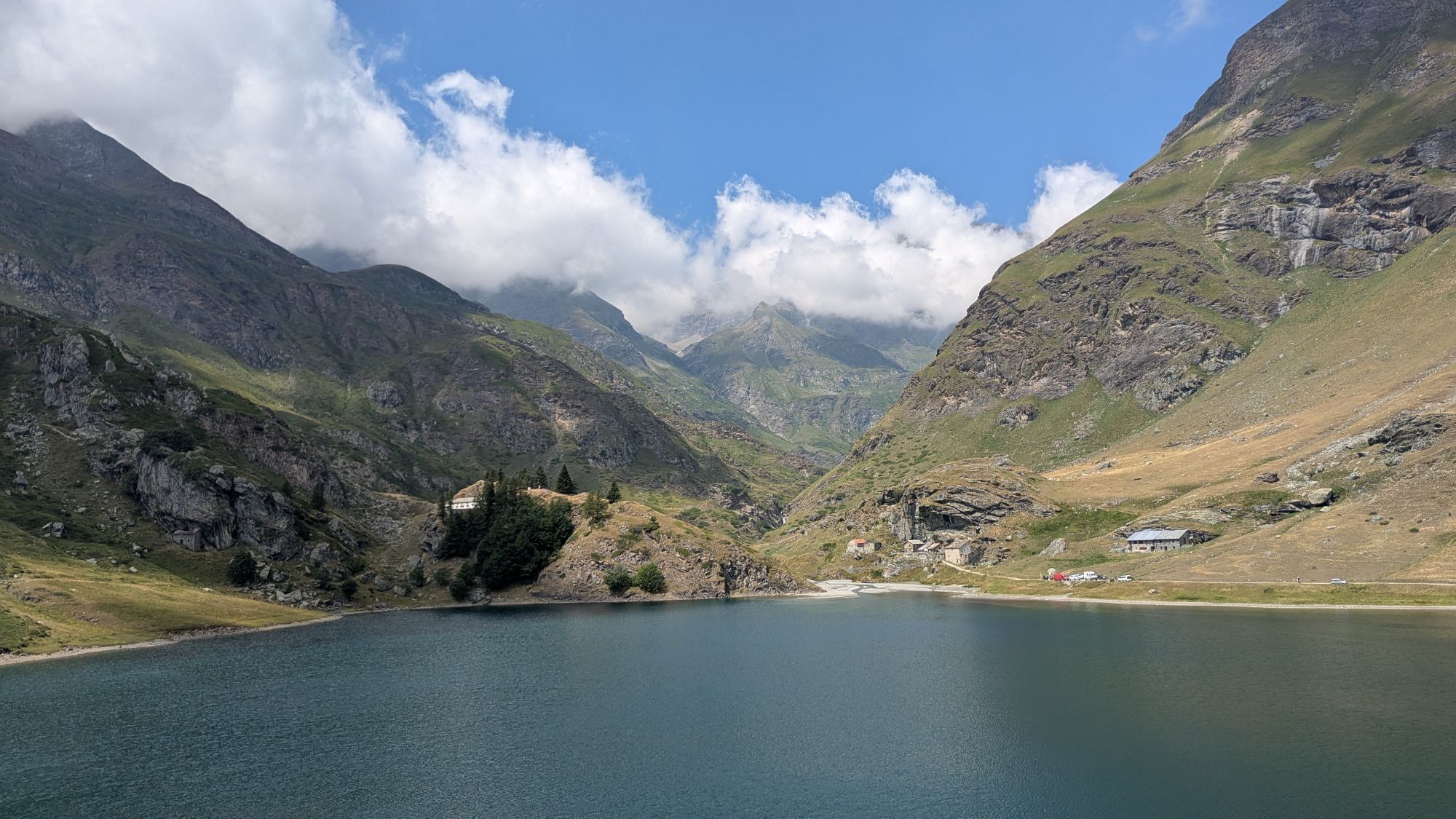
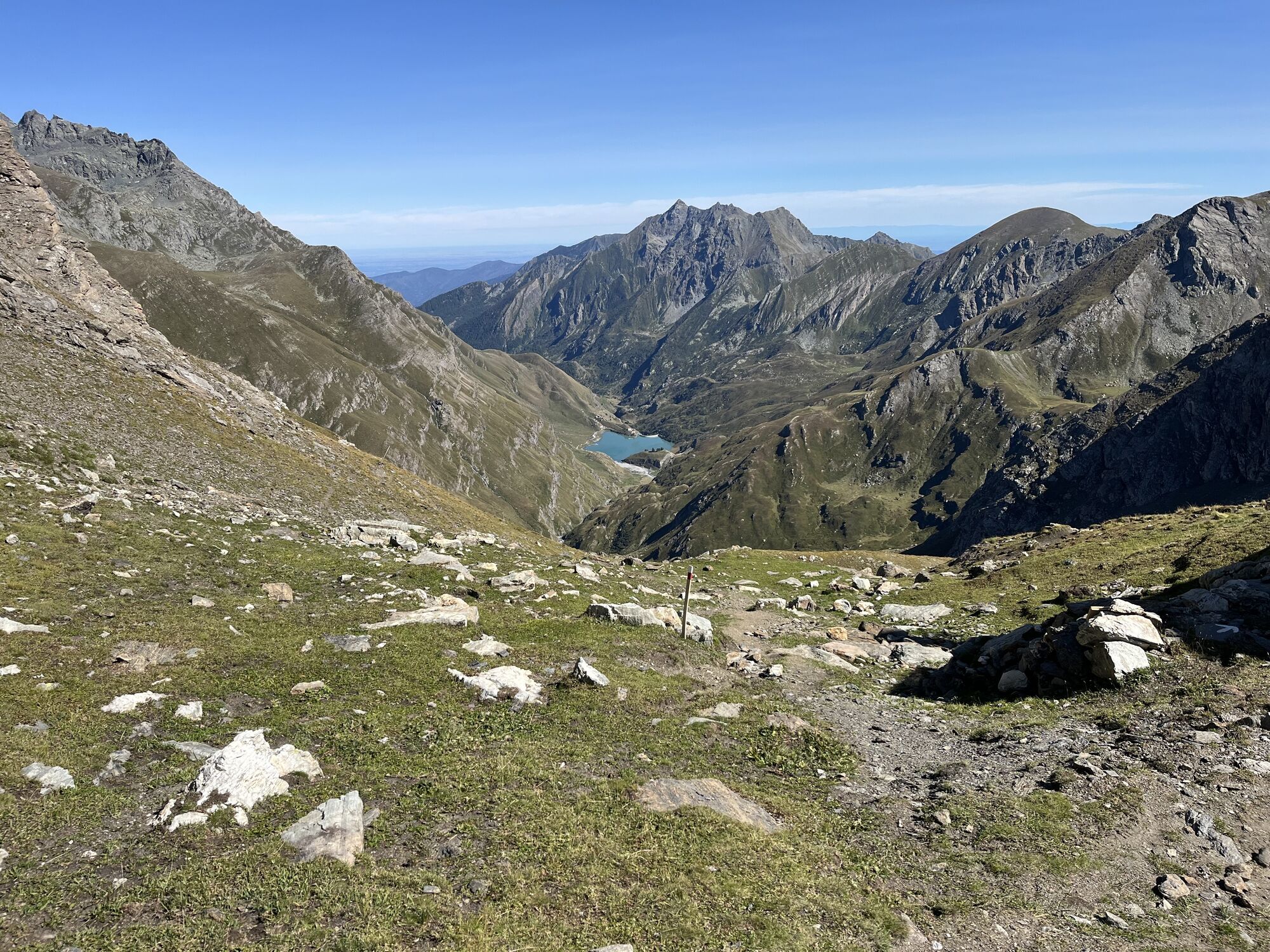
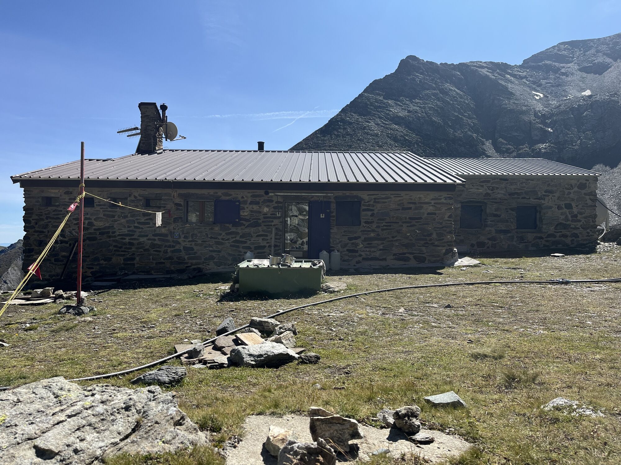
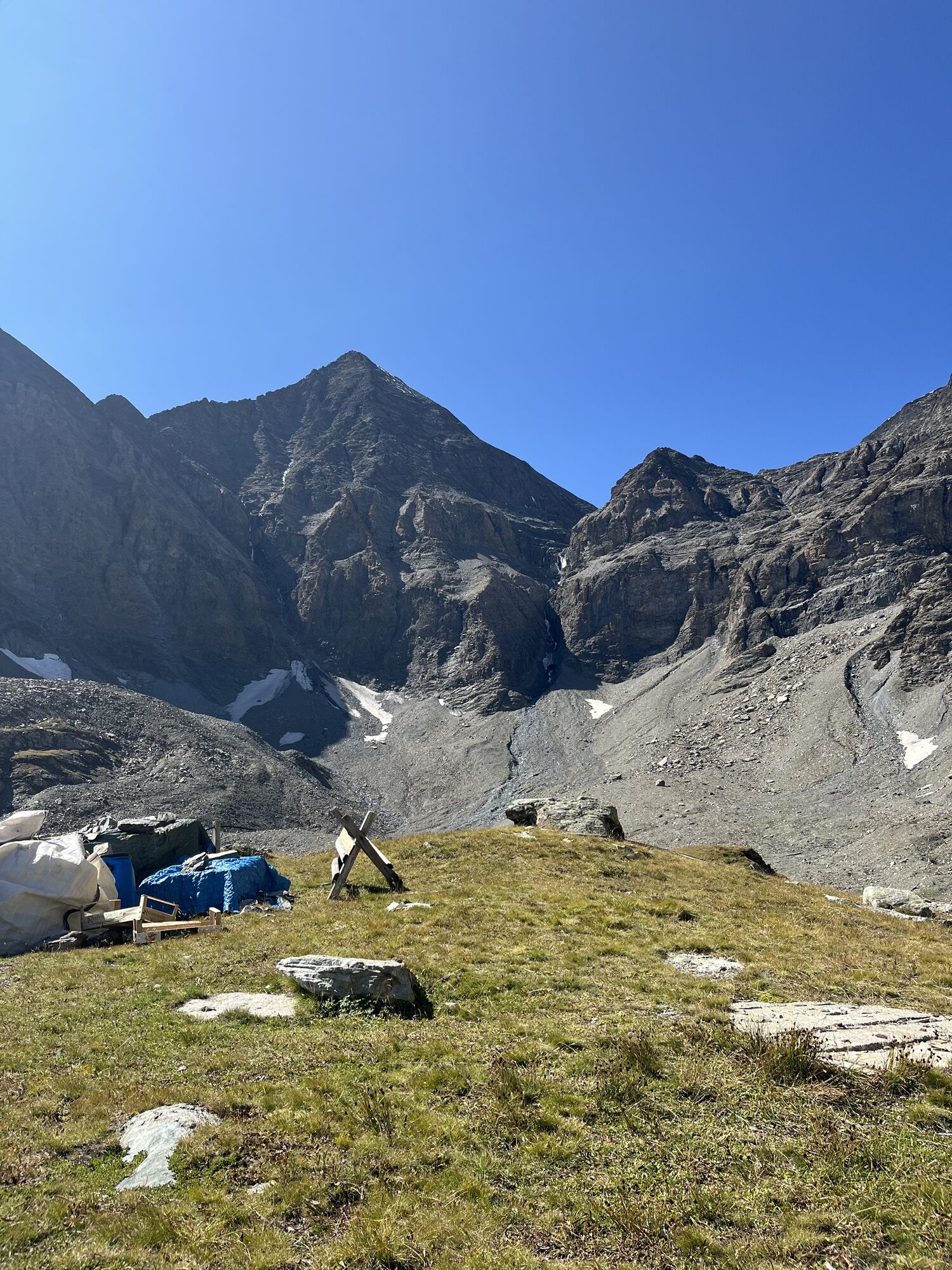
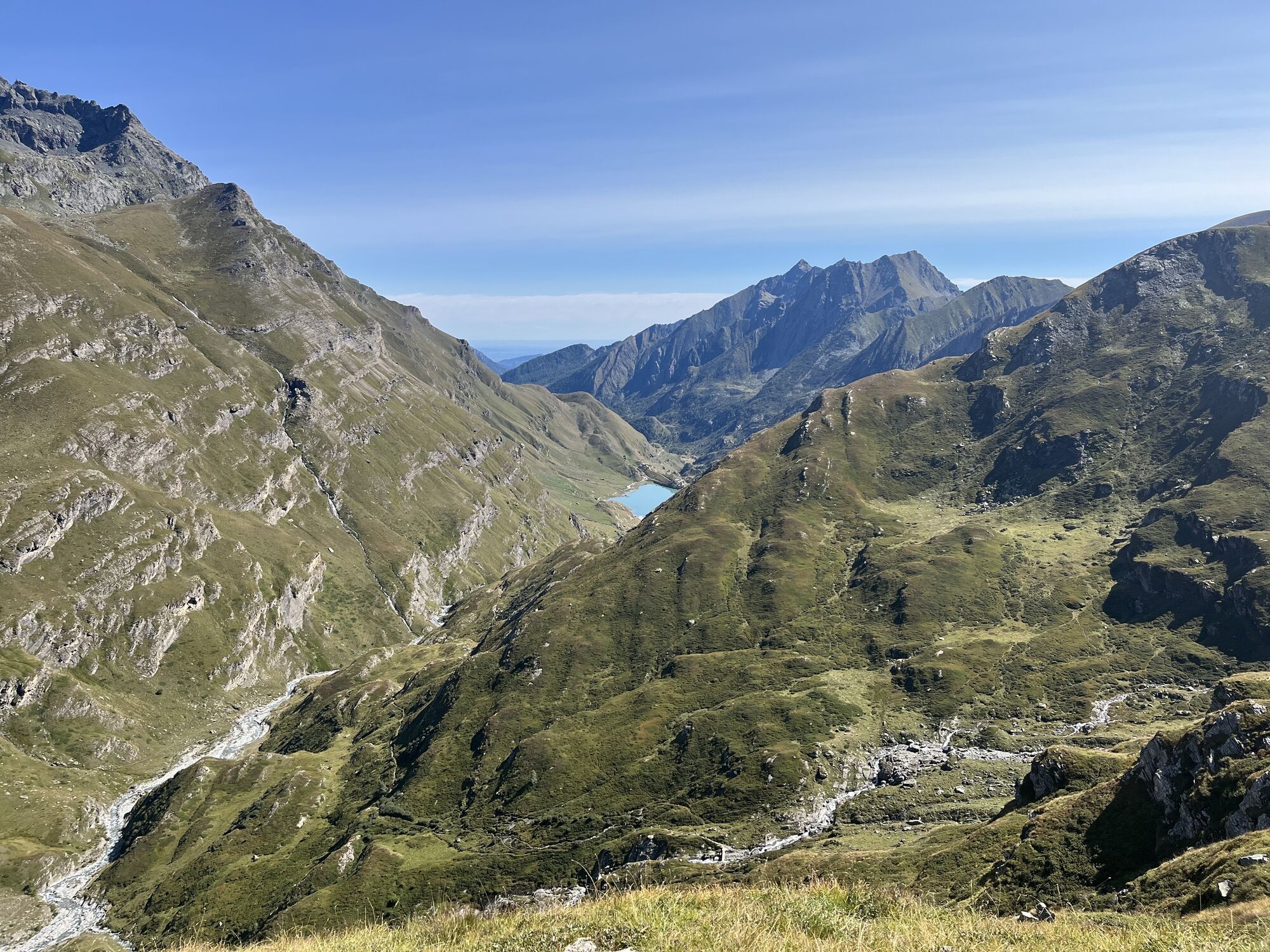
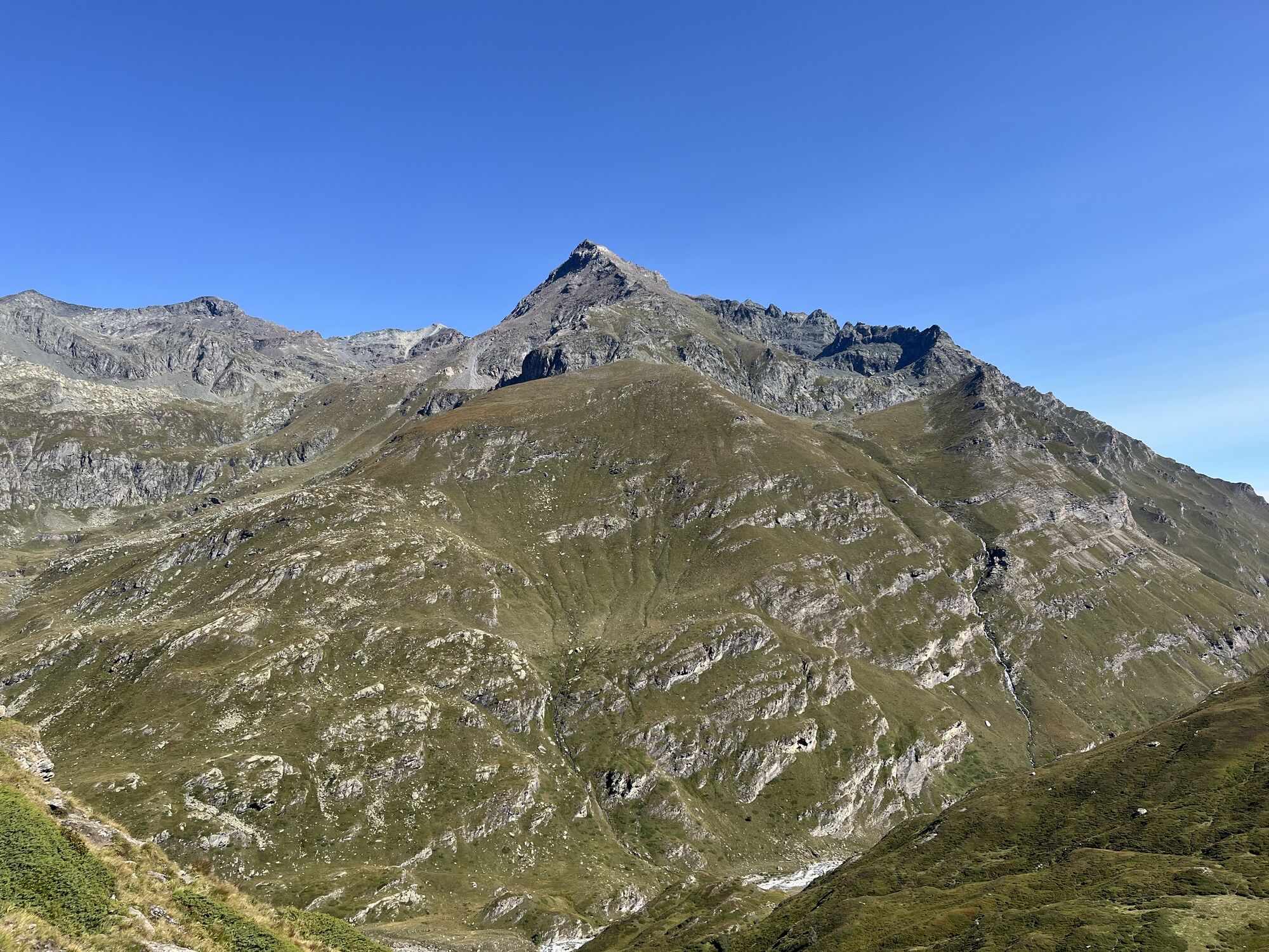
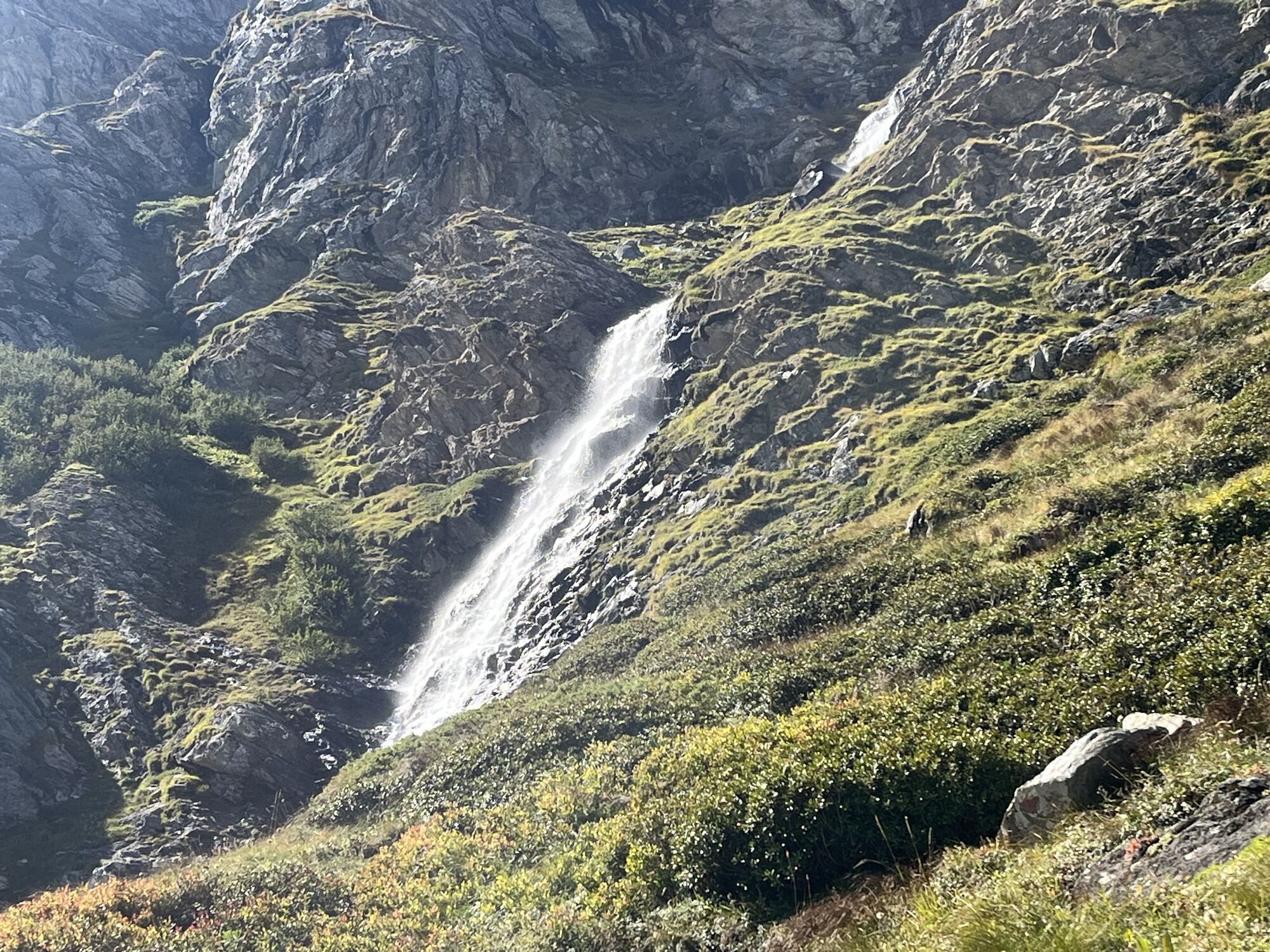
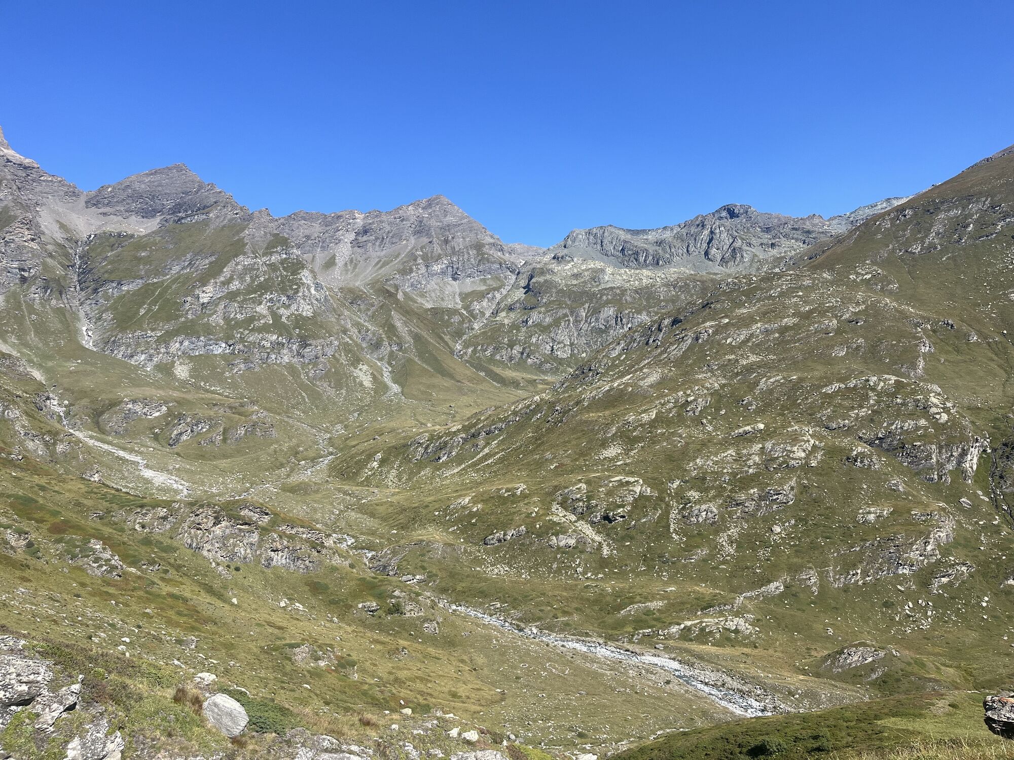
From the refuge, descend to the right and pass Rio Rumur along trail 111. Proceed diagonally with a section halfway up the slope, go down the many hairpin bends and reach Rio Medagliere. Continue on, along...
From the refuge, descend to the right and pass Rio Rumur along trail 111. Proceed diagonally with a section halfway up the slope, go down the many hairpin bends and reach Rio Medagliere. Continue on, along numerous ups and downs on the right hydrographic bank to reach, already close to the basin of Lake Malciaussia, the junction with trail 114 towards Colle Croce di Ferro. Cross the Stura Torrent of Vi over a wooden bridge, pass in front of the cottage of Pietramorta, go around the basin of the lake along the cart track and reach the Vulpot Refuge (1805 m) close to the dam.



Oblíbené prohlídky v okolí
-
4.5
Rocciamelone partedjo dalla Riposa. Mompantero, Piemont/Italien
středníTuristika 10.6 km -
5.0
BALME Green Lakes and Lago Paschiet
středníTuristika 7.51 km -
4.5
Hiking at Lake Clair
heavyTuristika 6.99 km -
5.0
BALME Arnas Ring - Pian della Mussa
heavyTuristika 13.6 km -
USSEGLIO Lake Nero from Lake Malciaussia
světloTuristika 4.79 km -
5.0
LEMIE Ovarda Lakes loop
heavyTuristika 15.9 km -
5.0
Alta Via delle Valli di Lanzo | Stage 4 Rifugio Citt di Ciri - Rifugio Cibrario
heavyTuristika 12.0 km -
SUSA From Susa to Rocciamelone
heavyTuristika 13.7 km -
USSEGLIO Lake behind the Tower and of the Rossa
heavyTuristika 17.1 km -
Hike from the Avérole refuge through the hamlet
středníTuristika 9.36 km
Pěší turistika a stopování


Nenechte si ujít nabídky a inspiraci pro vaši příští dovolenou
Vaše e-mailová adresa byl přidán do poštovního seznamu.





