






San Mauro - Superga

Frompiazzale Europa on the right bank of the River Po enter the historiccentre of San Mauro and start to climb the Rio Ciumiss. Continue along Via Matteotti and, having left the last houses, reach the...
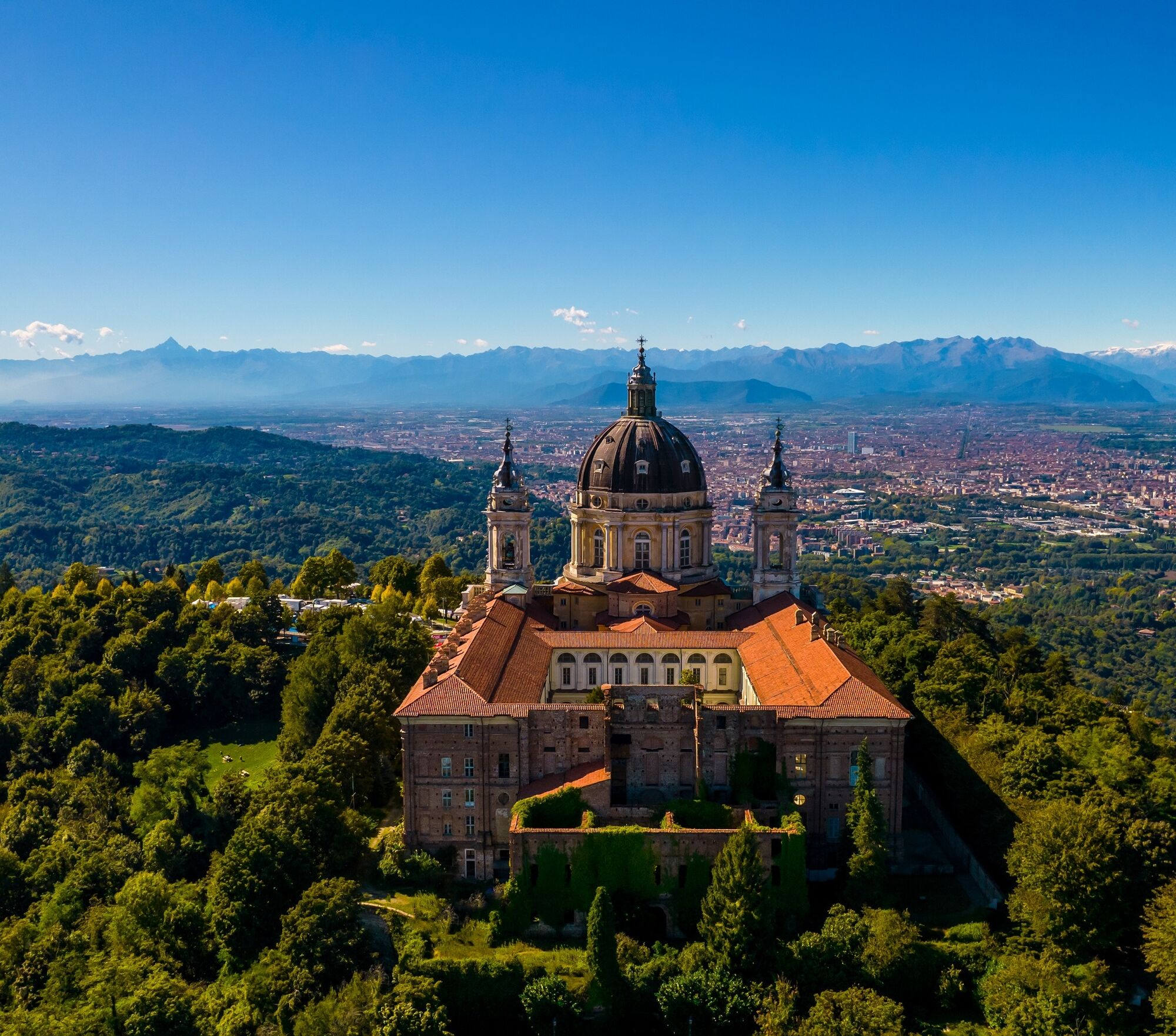
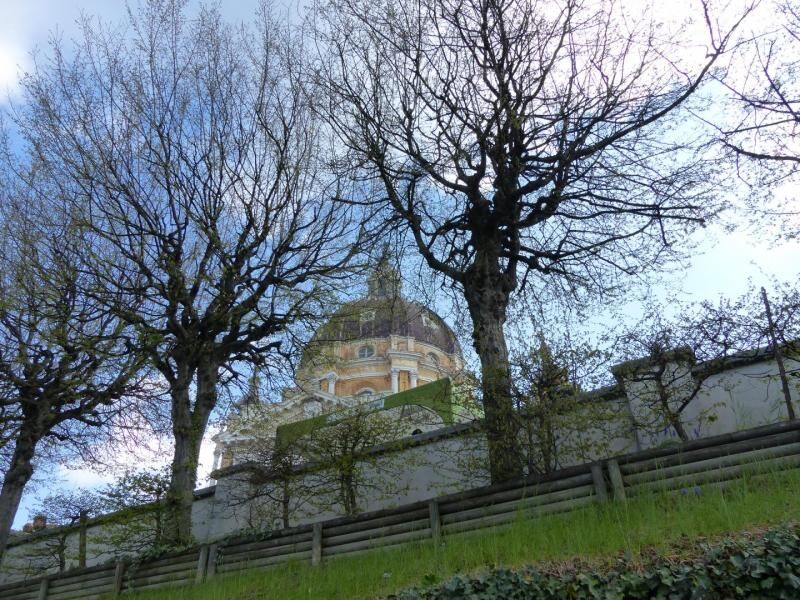
Frompiazzale Europa on the right bank of the River Po enter the historiccentre of San Mauro and start to climb the Rio Ciumiss. Continue along Via Matteotti and, having left the last houses, reach the clearing of the "Tre Ri" where the paved road ends. Having passed the rio with a bridge the road becomes a dirt road and climbs steeply with several hairpin bends in a lovely forest of oak and ash trees and shortly after reachesCascina Ciabot. Start climbing again and at a bend which takes to the right to Cascina Feissola (name given to the entire area and connected with the cultivation of strawberries) take a trail on the left uphill. This section is known as Sentiero delle Pietre due to the presence of monoliths of various size which erosion has brought to light and which were originally englobed within the tertiary marine segments that form the hill.At the end of a section which is decidedly uphill in the wood (spring floweringof primroses, dogtooth violets, anemones, etc.) the trail becomes flatter and, beyond the deep valley on the left, you can see the cliff of the Bric Rocca and the village of Tetti Bertoglio. Having reached a junction leave trail 61 on the left and continue on passing a bend and another flat section until you arrive at a new junction. Keep to the left climbing a rustic staircase until you reach the ridge. You cross an oak forest andreach Bric Giardin (550 m) with its characteristic 5-trunk downy oak. Follow the ridge, with a few ups and downs, and having passed the junction with the GTC, continue straight uphill turningslightly right and follow a fencing on the ridge. At a junction, you leave the trail on flat ground on the right and shortly you arrive at the square at the back of the Basilica of Superga a few steps from where the airplane carrying the "Grande Torino" football team crashed on 4 May 1949. Following the street on the left, you quickly reach the square of the Basilica itself with a breathtaking view of the Alps and the city of Turin.


Ano
http://www.piemonteoutdoor.it/web/interessi/cultura-e-dintorni/abbazie-e-chiese/item/980-basilicadisupergatorino

Oblíbené prohlídky v okolí
-
MONCALIERI - Biking on the water: Le Vallere and Valentino Park
světloJízda na kole 17.0 km -
CAMBIAN toward Riva presso Chieri
světloJízda na kole 22.8 km -
ANDEZENO - Panoramic loop towards Pino Torinese
středníJízda na kole 35.0 km -
TURIN - The tour of the Turin hillside on the "scenic road"
středníSilniční kolo 36.7 km -
CHIERI - Among vineyards, hills and history toward the Abbey of Vezzolano.
středníSilniční kolo 58.6 km -
CHIERI - Ring in the surroundings
středníJízda na kole 24.4 km -
Gran Gravel Tour in the Oltre Collina Torinese in 4 stages
heavyCyklistika na velkou vzdálenost 230.6 km -
CHIERI - Ring toward Pavarolo, Montaldo T.se and Andezeno
středníJízda na kole 32.9 km -
CASALBORGONE - Bosc Grand and Bosco del Vaj by MTB
středníMountainbike 22.6 km -
Reach Sensimmersion - Inside the Park
heavyJízda na kole 5.98 km
Pěší turistika a stopování


Nenechte si ujít nabídky a inspiraci pro vaši příští dovolenou
Vaše e-mailová adresa byl přidán do poštovního seznamu.





