Navigace na stránkách
Pořiďte si tuto prohlídku do mobilního telefonu
Mapa
Stra' Granda
střední
Turistika
50.40 km
Naskenujte QR kód a spusťte navigaci v aplikaci bergfex.
QR Code
Pěší turistika a stopování
Stáhnout pro iOS
Stáhnout pro Android

Stra' Granda

Vzdálenost
50.4 km
Doba trvání
18:42 h
Ascent
3165 hm
Hladina moře
249 - 2856 m

Fotografie našich uživatelů

In 1553, Valle Anzasca was visited by Joachim de Annono, "homo da bene" and official of the Spanish governor of Milan. He was a powerful man who came to check whether the Valle Anzasca inhabitants were...

Popis

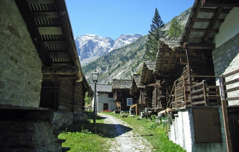
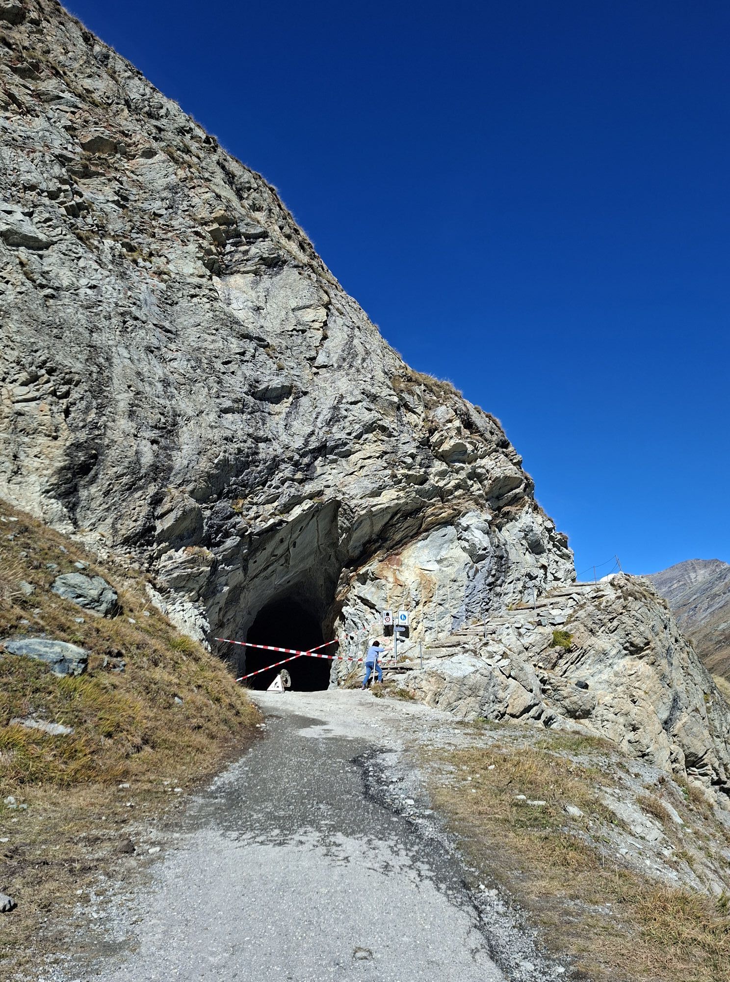
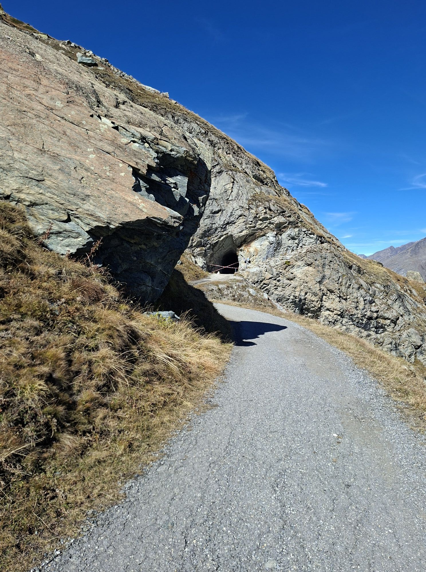
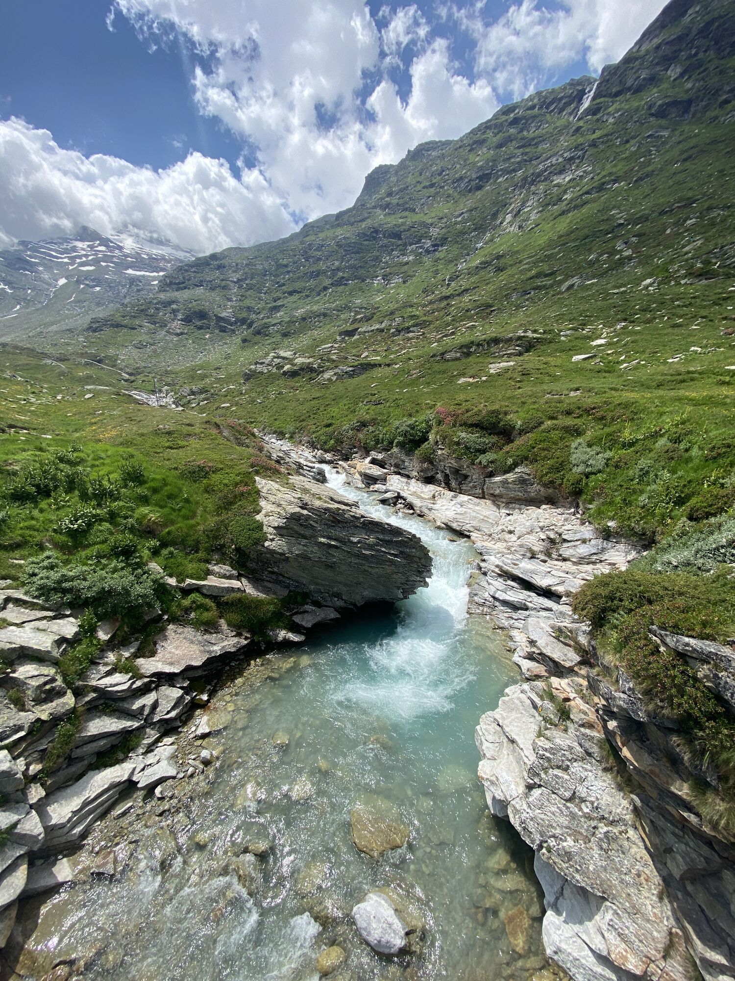
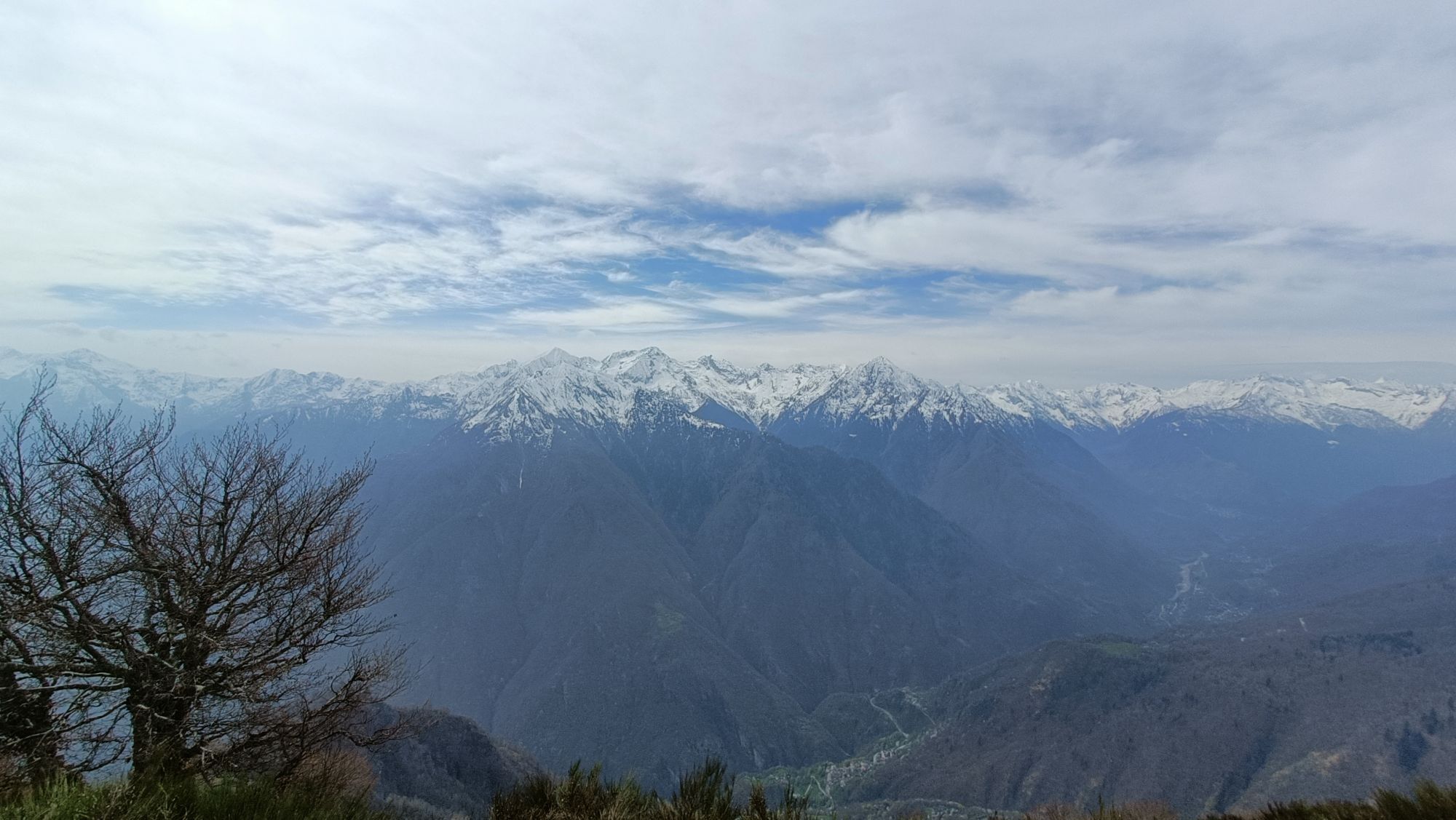
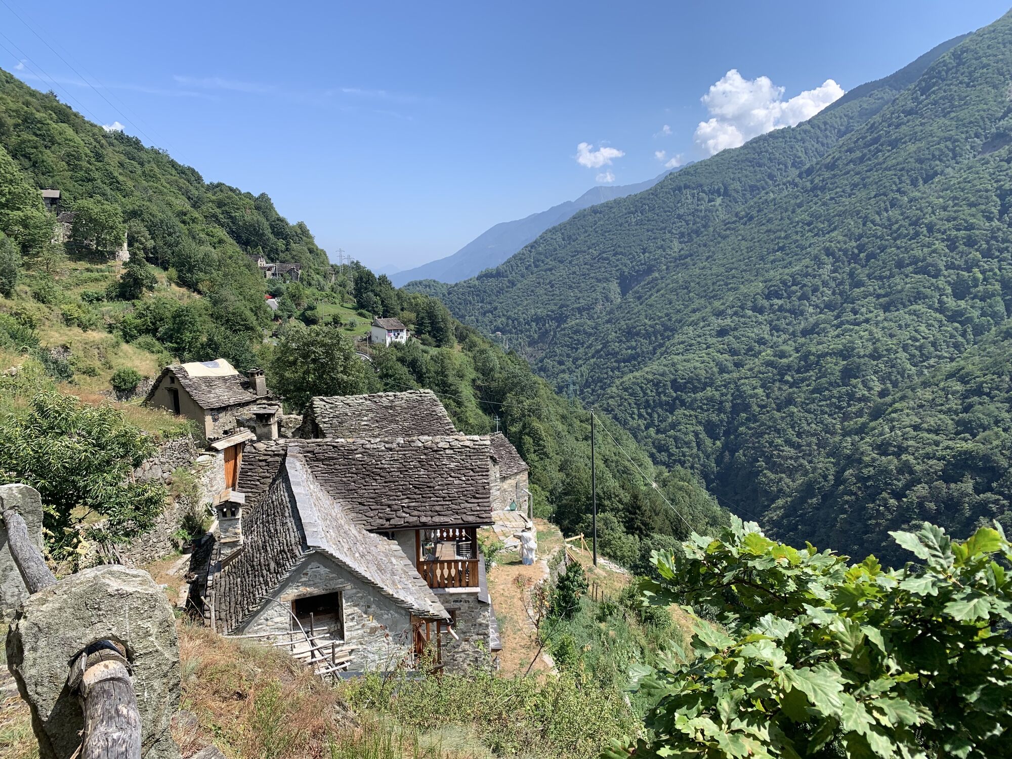
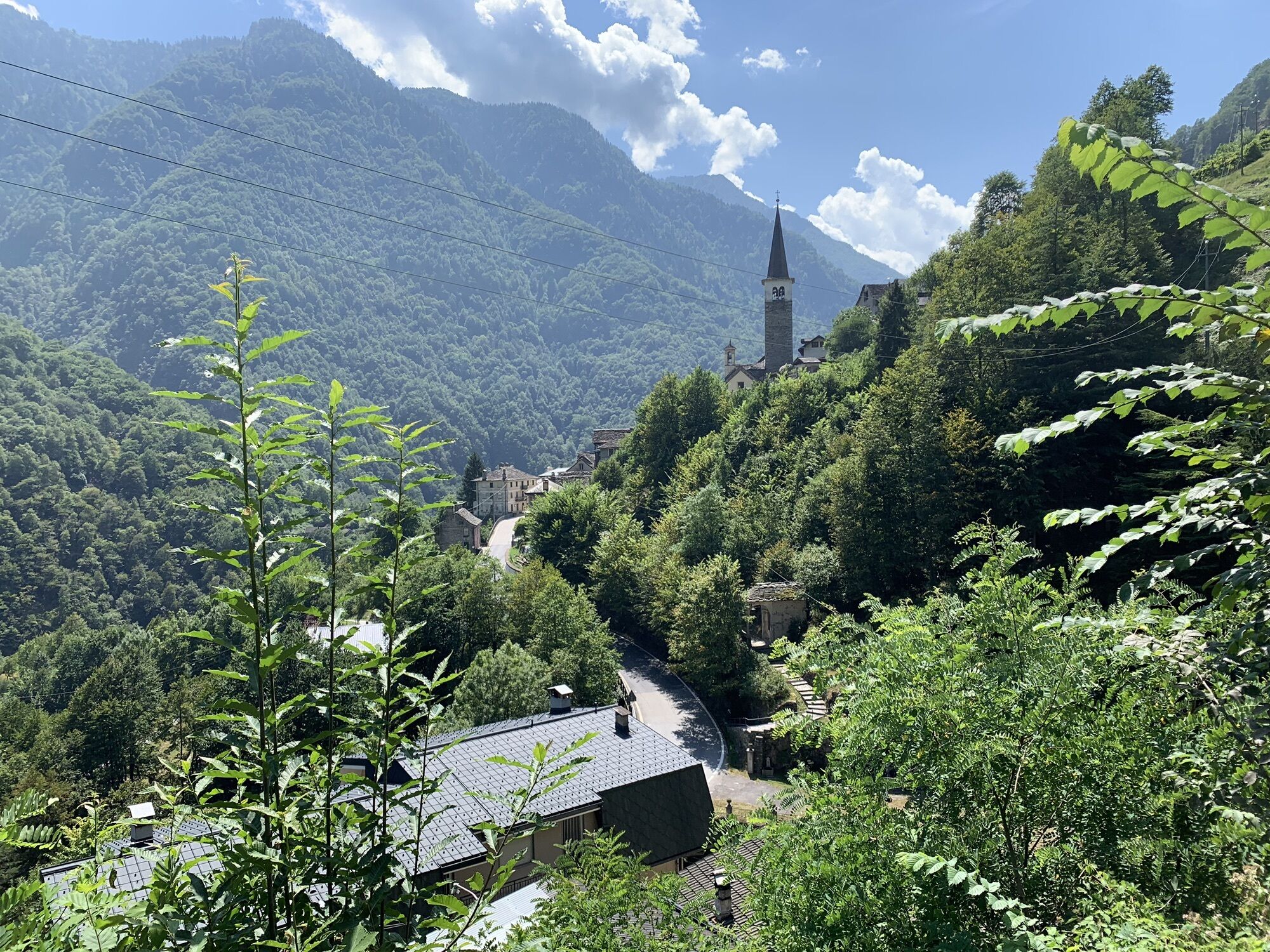
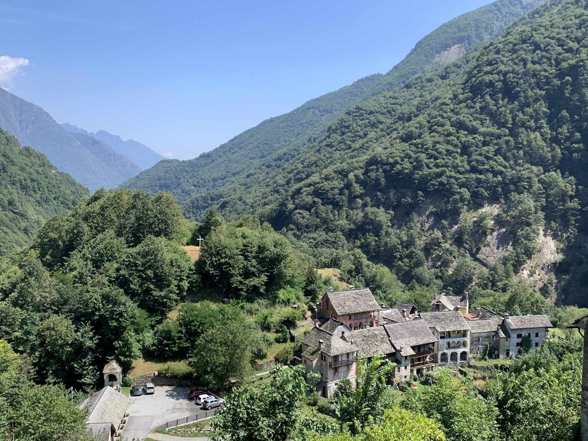
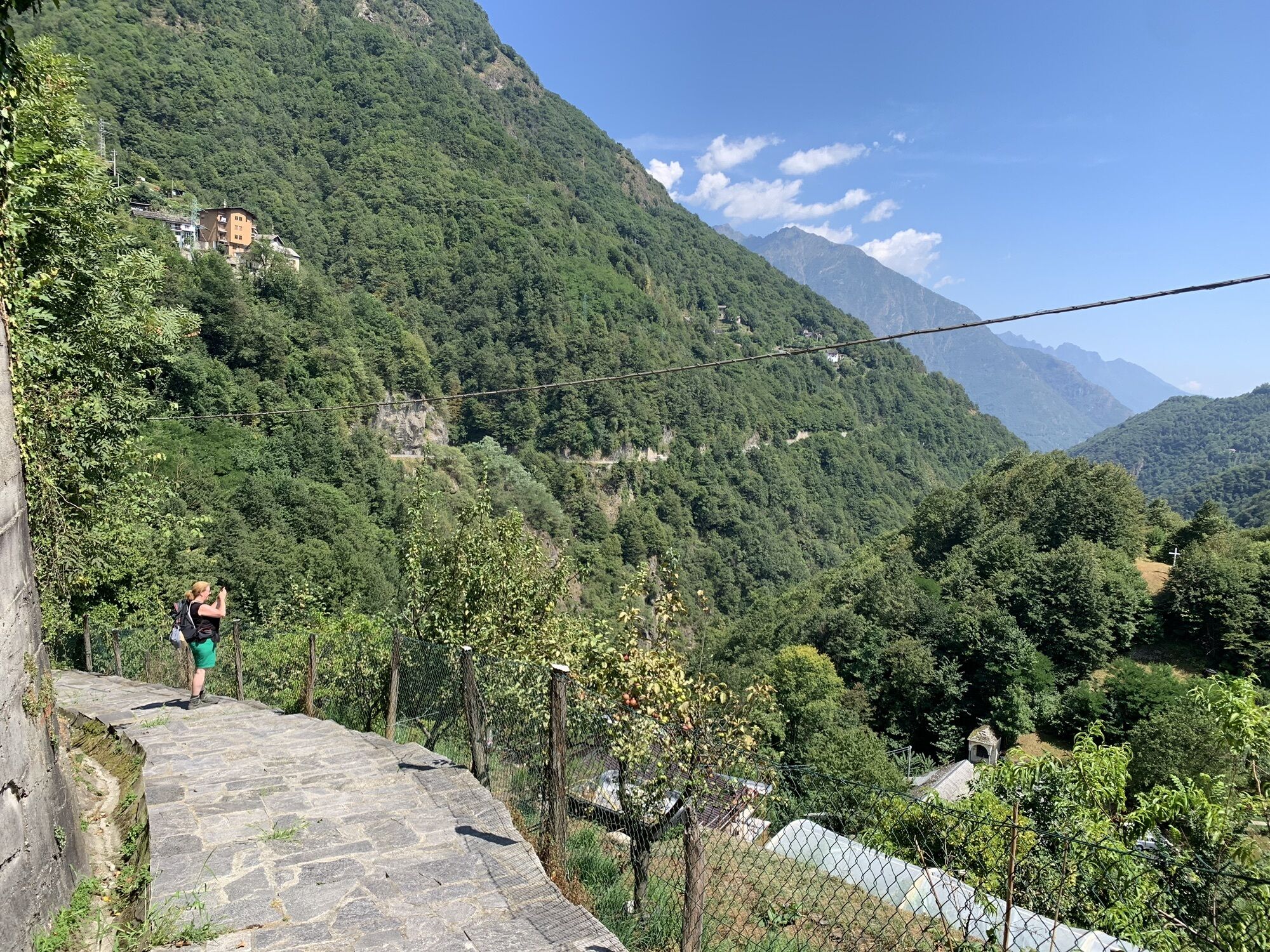
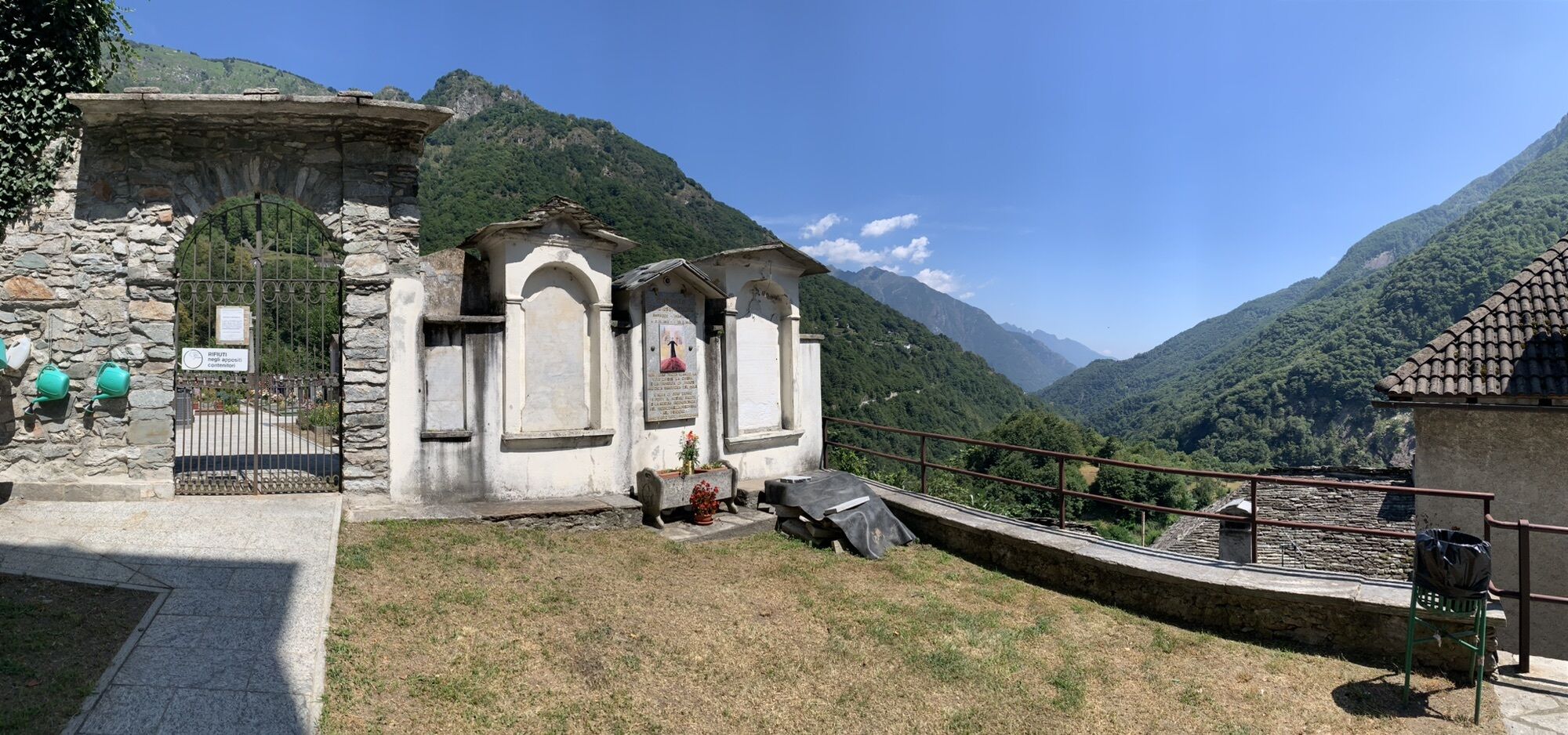
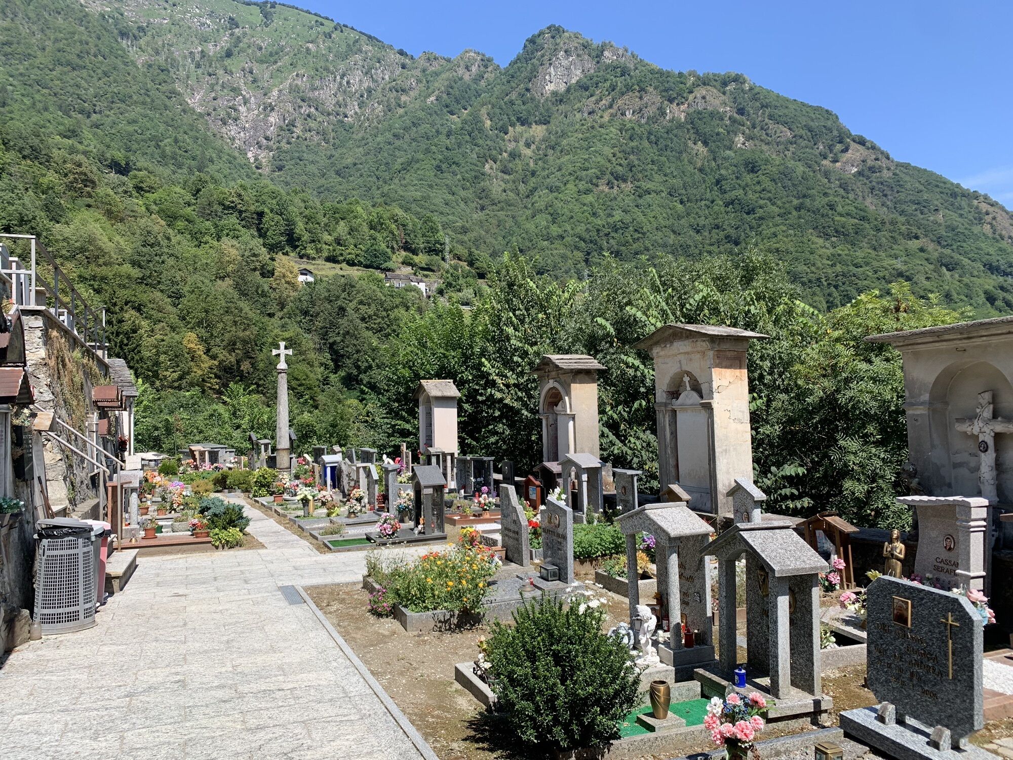
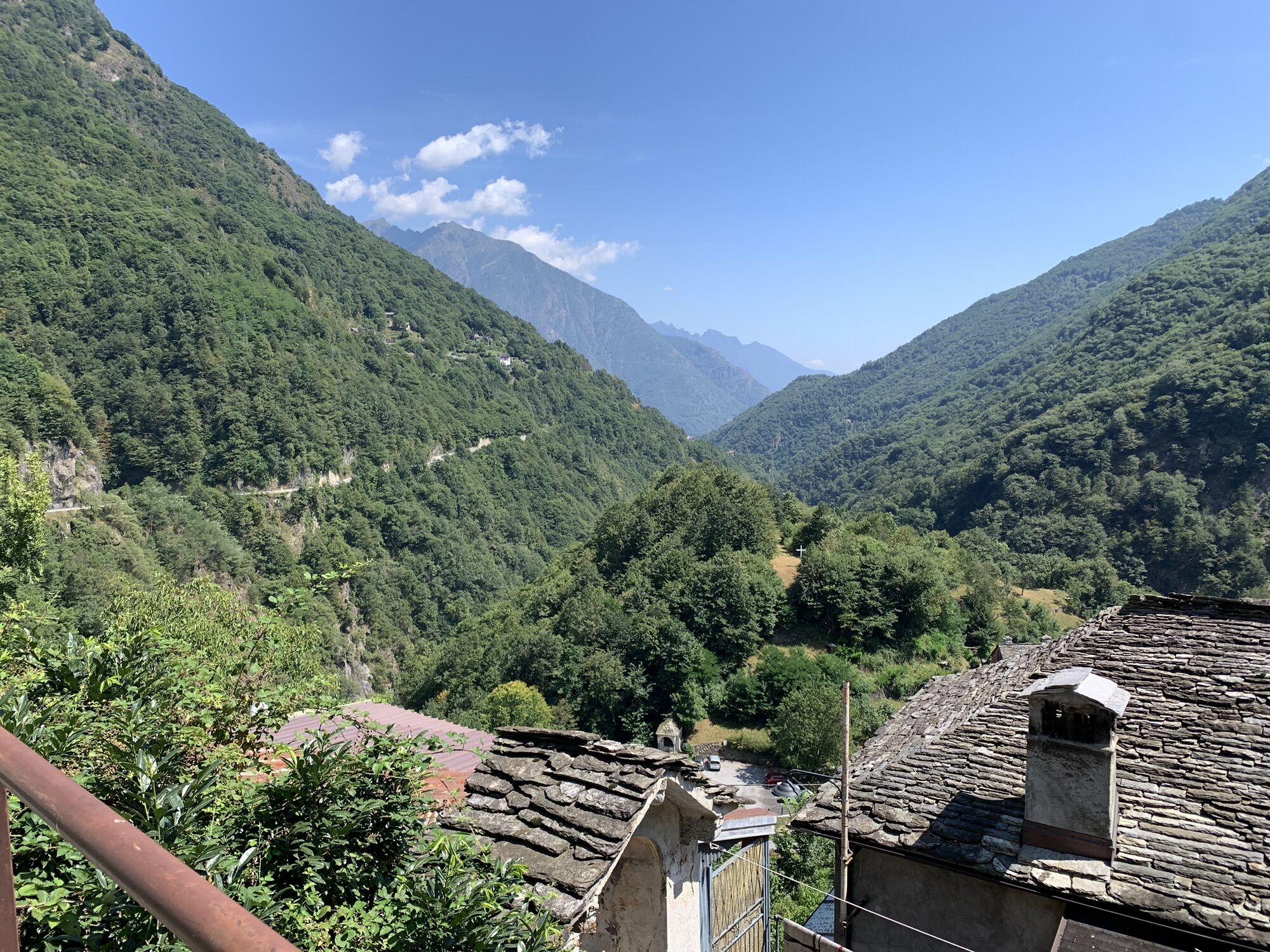
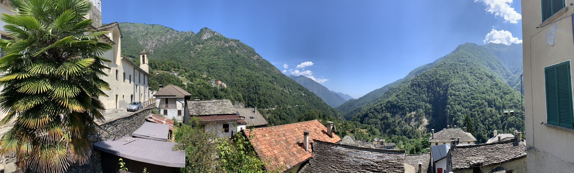
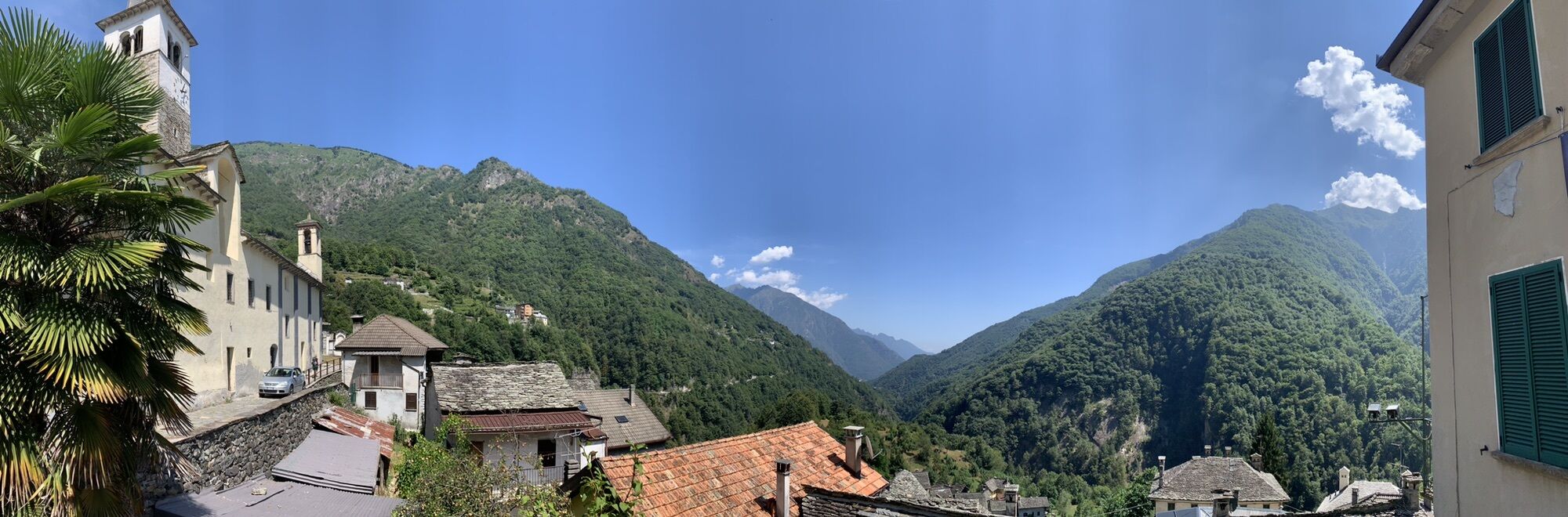
In 1553, Valle Anzasca was visited by Joachim de Annono, "homo da bene" and official of the Spanish governor of Milan. He was a powerful man who came to check whether the Valle Anzasca inhabitants were able to pay the exorbitant monthly tax. He remained in the valley for 14 days and on his return, he wrote a precise and documented report. This was the first description of the Str Granda that goes up from Piedimulera to Macugnaga and then climbs the steep mountain of Monte Moro and leads to Valle di Saas. At the centre of his journey is the medieval road of Valle Anzasca: "... I find this valley has very little or close to nothing as far as flatness is concerned, is roughly sixteen miles long, takes place among very high mountains in the middle of which a great torrent called Anza flows, descending from an icy mountain, with such ice being permanent at the bottom of such Valley, and with such torrent becoming a Brook among many brooks which go down here and there among the aforementioned mountains, and to reach such valley you must go up a mountain for about a mile so as to find the straight road built among these mountains, about an arm and a half wide, and in such place such road is more or less very tall and steep;..." 400 years on from the walk of Joachim de Annono, this path can still be travelled today. The history of the valley has passed on the worn-out paving that marks its hairpin bends. Not the Great History, but the humble and hidden history of muleteers who went to Switzerland or the valley people who went down to the market of Vogogna to stock up on grain. The shiny paving of each hairpin bend has witnessed the furious village wars and the passing of loads of gold coming down to the towns. Walking on the Str Granda of Anzasca means travelling back in time on a historical infra-village communication path. Above Piedimulera there is the Oratory of San Giovanni Nepomuceno, a significant protector against drownings and floods (even against gossip mongers!); in Mezzamulera, famous for its hemp weaving, there are special recesses in the wall for loading mules. In C Turnal an anvil, a pincer and a hammer engraved on a stone slab bear the Ghibelline coat of arms used at Ferraria, one of the factions that stained Ossola with blood in the 16th century. There are also ovens in the hamlets for the collective baking of bread a few times a year, the consortium presses for marc (a little masterpiece of rural engineering can be found in Morolongo), the windmills and millstones for extracting walnut oil.
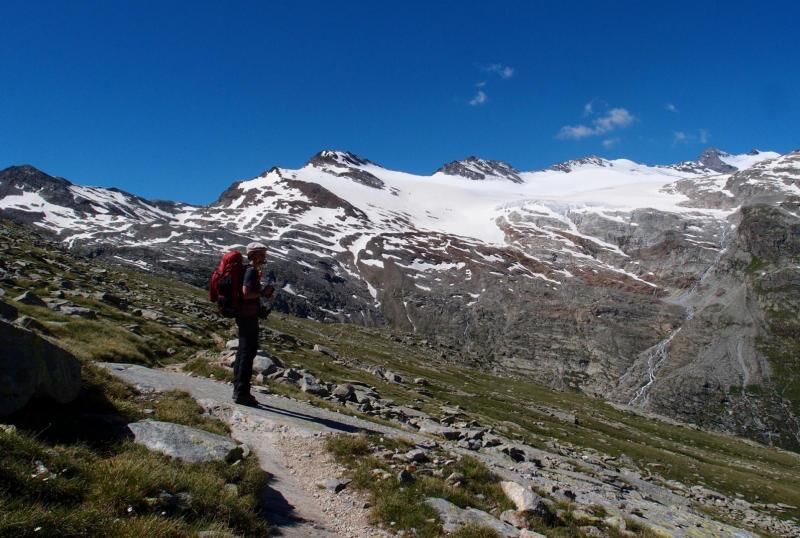
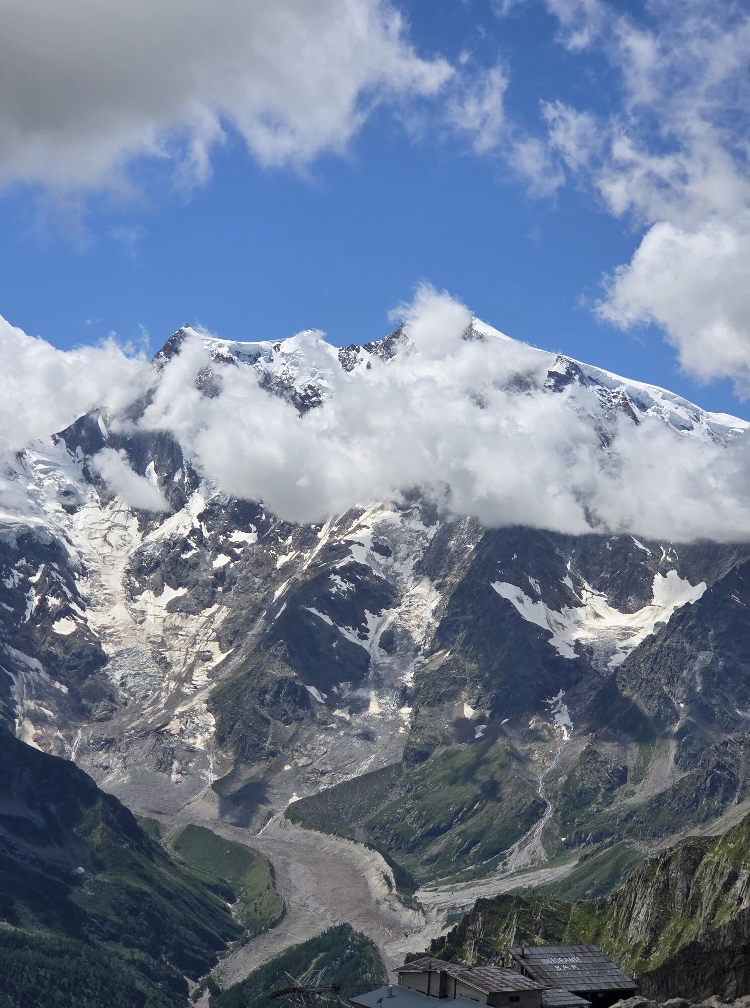
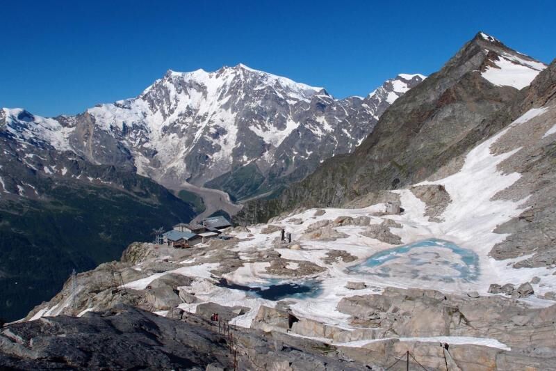
There are hundreds of findings of peasant culture material scattered along the Str Granda which becomes the thematic path to discover the Alpine civilization developed among these mountains. Furthermore, at the head of the valley, the magnificence of the east wall of Monte Rosa, two-thousand metres of rock and ice, the only wall of Himalayan dimensions among the Alps. The valley is anomalous, with two cultures (the Walser culture and the Romance culture), which preserves a high degree of naturalness and ancient harmony between man and environment.

Trasa
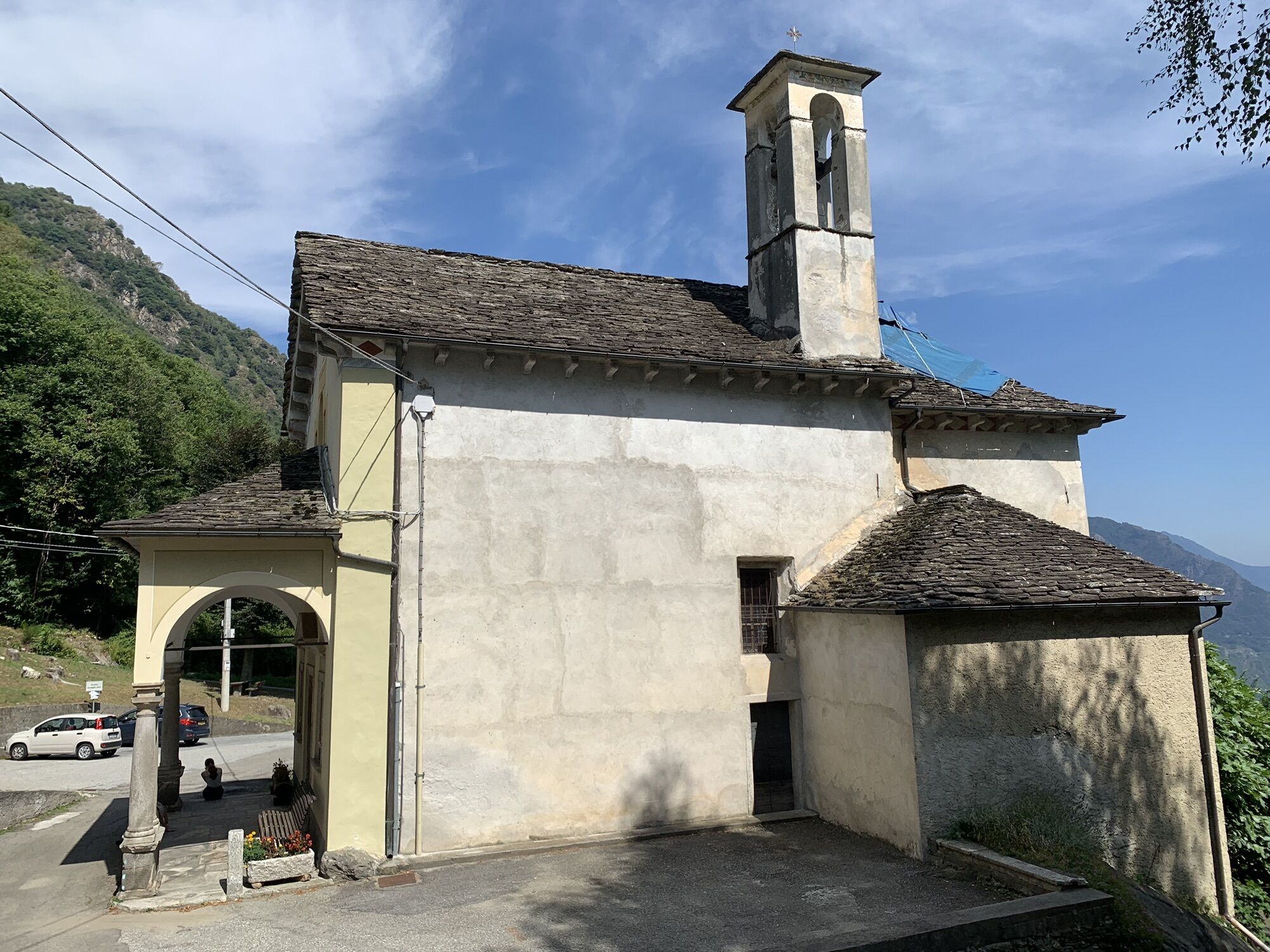
Oratorio di San Giovanni Nepomuceno
(316 m)
Místo konání bohoslužeb
0.3 km
Oratorio Madonna delle Grazie
(543 m)
Místo konání bohoslužeb
1.6 km
Chiesa parrocchiale di Sant'Antonio Abate
(637 m)
Místo konání bohoslužeb
9.2 km
Oratorio di San Carlo
(694 m)
Místo konání bohoslužeb
11.0 km
Oratorio di San Defendente
(758 m)
Místo konání bohoslužeb
19.9 km
Oratorio di San Domenico
(992 m)
Místo konání bohoslužeb
25.5 km
Rifugio Gaspare Oberto - Paolo Maroli
(2782 m)
Úkryt
38.3 km
Trasa
Mapa
Stra' Granda
střední
Turistika
50.40 km
Piedimulera
(248 m)
Vesnice
0.0 km
Oratorio di San Giovanni Nepomuceno
(316 m)
Místo konání bohoslužeb
0.3 km
Oratorio di San Luigi Gonzaga
(365 m)
Místo konání bohoslužeb
0.5 km
Mezzamulera
(399 m)
Vypořádání
0.6 km
Croppala
(399 m)
Koridor/terén
0.7 km
Pairazzo
(500 m)
Vypořádání
0.8 km
San Giuseppe
(550 m)
Vypořádání
0.9 km
Oratorio di Santa Marta
(481 m)
Místo konání bohoslužeb
1.0 km
Chiesa parrocchiale Sant'Antonio Abate
(483 m)
Místo konání bohoslužeb
1.0 km
Locanda Pizzo Castello
(487 m)
Restaurace
1.0 km
Cimamulera
(488 m)
Vesnice
1.0 km
Oratorio di San Rocco
(486 m)
Místo konání bohoslužeb
1.0 km
Casa Girardi-Lana
(553 m)
Vypořádání
1.2 km
Aprì
(432 m)
Vypořádání
1.5 km
Madonna
(547 m)
Vypořádání
1.6 km
Oratorio Madonna delle Grazie
(543 m)
Místo konání bohoslužeb
1.6 km
Morlongo
(550 m)
Vypořádání
1.8 km
Crosa
(586 m)
Vypořádání
1.9 km
Meggiana
(520 m)
Vypořádání
2.5 km
Oratorio di San Carlo
(512 m)
Místo konání bohoslužeb
2.7 km
Miggianella
(564 m)
Vypořádání
3.2 km
La Ca'
(628 m)
Vypořádání
3.8 km
Case Paita
(559 m)
Koridor/terén
4.1 km
Cappella della Grotta di Lourdes
(472 m)
Místo konání bohoslužeb
4.3 km
Urìa
(476 m)
Koridor/terén
4.3 km
Colombetti
(451 m)
Vypořádání
4.5 km
Chiesa parrocchiale di San Gottardo
(518 m)
Místo konání bohoslužeb
4.5 km
Castiglione
(520 m)
Vesnice
4.5 km
Circolo ARCI
(507 m)
Restaurace
4.7 km
Pecciola
(572 m)
Vypořádání
5.1 km
Ielmala
(669 m)
Vypořádání
5.9 km
Crotto
(637 m)
Vypořádání
6.0 km
Porcareccia
(588 m)
Vypořádání
6.3 km
Molini
(505 m)
Vypořádání
7.4 km
Duiamen
(516 m)
Vypořádání
8.4 km
Calasca
(692 m)
Vesnice
9.2 km
Chiesa parrocchiale di Sant'Antonio Abate
(637 m)
Místo konání bohoslužeb
9.2 km
Antrogna
(665 m)
Vypořádání
9.5 km
Calasca Dentro
(605 m)
Vypořádání
9.8 km
Oratorio della Madonna del Buon Consiglio
(608 m)
Místo konání bohoslužeb
9.9 km
Oratorio di San Carlo
(694 m)
Místo konání bohoslužeb
11.0 km
Barzona
(688 m)
Vypořádání
11.0 km
Rivetto
(548 m)
Vypořádání
11.7 km
Pontegrande
(526 m)
Vesnice
12.1 km
Chiesa della Beata Vergine Annunziata
(674 m)
Místo konání bohoslužeb
13.1 km
Bannio
(669 m)
Vesnice
13.1 km
Pioda
(524 m)
Vypořádání
13.7 km
Chiesa dei Santi Pietro e Paolo
(523 m)
Místo konání bohoslužeb
13.8 km
Case Prucci
(540 m)
Vypořádání
14.3 km
Scalaccia
(540 m)
Vypořádání
14.4 km
Case Fornari
(576 m)
Vypořádání
14.6 km
Oratorio San Francesco di Paola
(580 m)
Místo konání bohoslužeb
14.7 km
Pianezza
(664 m)
Vypořádání
15.3 km
Chiesa parrocchiale di San Carlo
(574 m)
Místo konání bohoslužeb
15.4 km
San Carlo
(574 m)
Vesnice
15.4 km
Battiggio
(610 m)
Vypořádání
16.3 km
Roletto
(690 m)
Vypořádání
16.7 km
Oratorio dell' Angelo Custode
(668 m)
Místo konání bohoslužeb
17.4 km
Vanzone
(674 m)
Vesnice
17.5 km
Oratorio della Madonna di Oropa
(688 m)
Místo konání bohoslužeb
18.2 km
Valleggio
(684 m)
Vypořádání
18.3 km
Oratorio della Natività di Maria Santissima
(722 m)
Místo konání bohoslužeb
19.2 km
Croppo
(750 m)
Vypořádání
19.3 km
Canfinello
(750 m)
Vypořádání
19.9 km
Oratorio di San Defendente
(758 m)
Místo konání bohoslužeb
19.9 km
Borgone
(722 m)
Vypořádání
20.3 km
Chiesa dei Santi Innocenti
(726 m)
Místo konání bohoslužeb
20.4 km
Parrocchiale San Giovanni Battista
(749 m)
Místo konání bohoslužeb
21.2 km
Ceppo Morelli
(766 m)
Vesnice
21.4 km
Prequartera
(833 m)
Vypořádání
22.6 km
Campioli
(853 m)
Vypořádání
23.8 km
Oratorio di San Domenico
(992 m)
Místo konání bohoslužeb
25.5 km
Morghen
(995 m)
Vypořádání
25.5 km
Pestarena
(1035 m)
Sousedství
27.6 km
Fornarelli
(1163 m)
Vypořádání
29.3 km
Spiss
(1194 m)
Vypořádání
29.5 km
Borca
(1195 m)
Sousedství
29.7 km
Motta
(1285 m)
Vypořádání
29.8 km
Zender
(1216 m)
Vypořádání
30.1 km
Isella
(1226 m)
Sousedství
30.5 km
Testa
(1262 m)
Vypořádání
31.2 km
Moos
(1288 m)
Vypořádání
31.4 km
Ronco
(1281 m)
Vypořádání
31.4 km
Staffa
(1305 m)
Vesnice
31.9 km
Macugnaga
(1310 m)
Vesnice
32.0 km
Macugnaga
(1322 m)
Stanice gondoly
32.1 km
Prati
(1314 m)
Vypořádání
32.1 km
Bile
(1319 m)
Vypořádání
32.1 km
Dorf
(1332 m)
Vypořádání
32.2 km
Chiesa vecchia di Santa Maria
(1331 m)
Místo konání bohoslužeb
32.3 km
Rifugio Gaspare Oberto e Paolo Maroli
(2783 m)
Úkryt
38.3 km
Rifugio Gaspare Oberto - Paolo Maroli
(2782 m)
Úkryt
38.3 km
Informace o prohlídce

Discovering the Anzasca Valley, from Piedimulera to Magacugnaga up to Monte Moro. This itinerary dates back to 1553, first traveled by Joachim de Annono, Spanish governor of Milan

Technologie
n.a.
Stav
4 / 6
Krajina
5 / 6
Zkušenosti
5 / 6
Nejlepší roční období
Led
Úno
Bře
Dub
Kvě
Čen
Čec
Srp
Zář
Říj
Lis
Pro
Sdílet prohlídku
Mapa
Stra' Granda
střední
Turistika
50.40 km
Chyba
Došlo k chybě. Zkuste to prosím znovu.
Další informace a tipy
Tipy

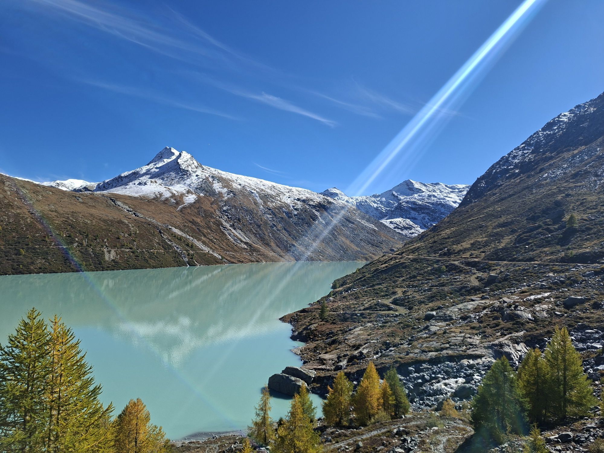
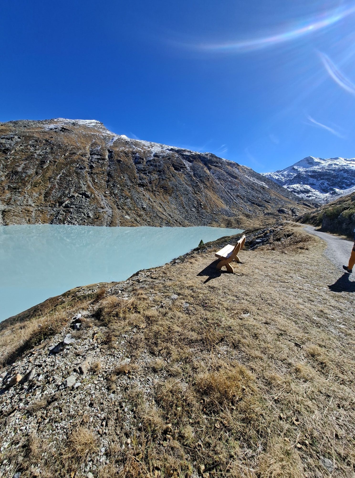
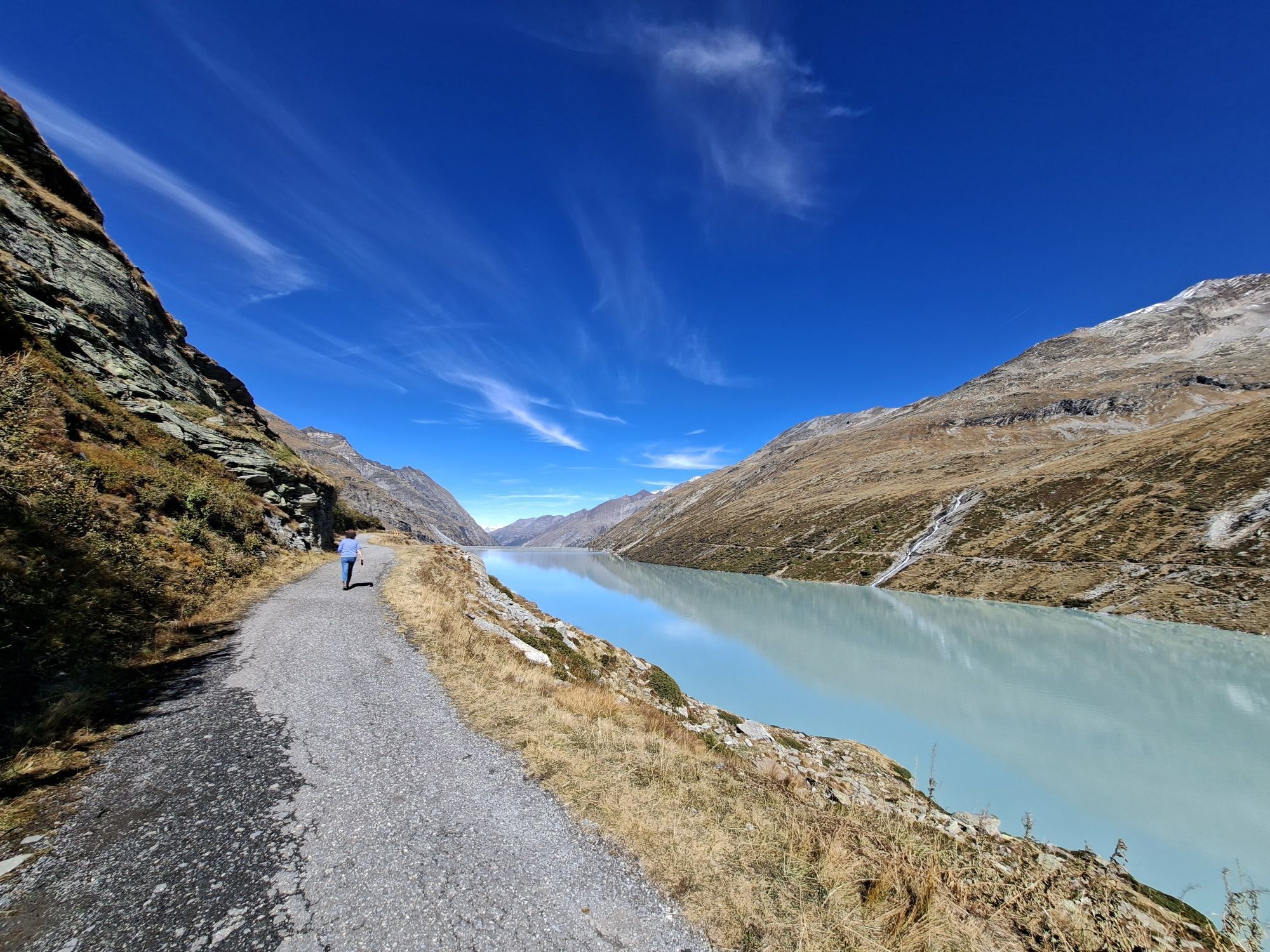
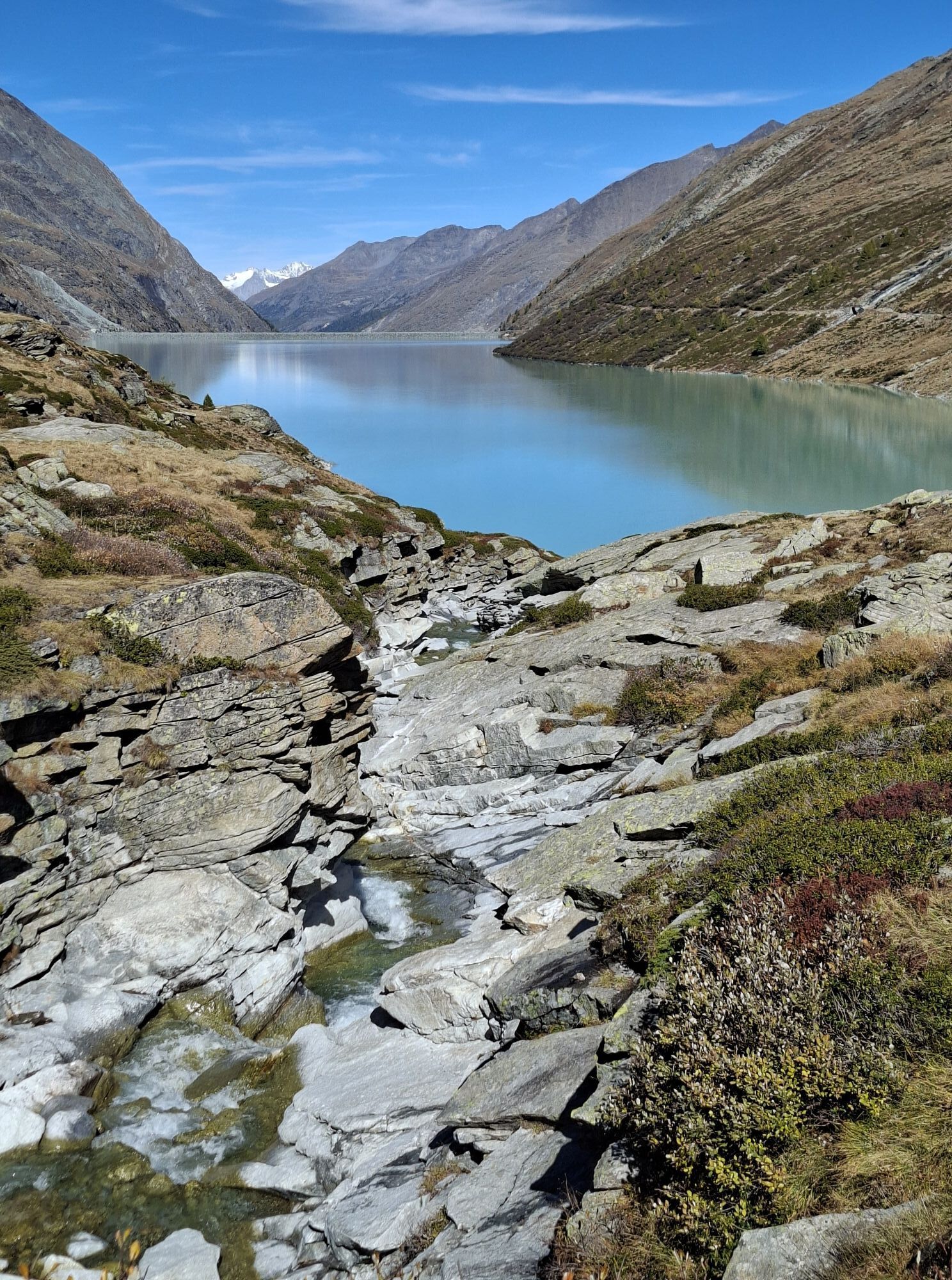
In addition to the scattered traces of rural life, the route reveals a continuous succession of churches, oratories, votive chapels and frescoes. The upper part of Passo del Moro offers breathtaking scenic views of the East wall of Monte Rosa and of the 4000 m of the Valle di Saas. Both Macugnaga and the towns of the Valle di Saas are Walser colonies around Monte Rosa.

Zatím žádné recenze
Napište recenzi

Recenze pomáhají ostatním uživatelům při výběru dalšího dobrodružství. Hodnoťte prosím pouze prohlídku, nikoli počasí nebo svačinu.

Výběrem jedné z hvězdiček ohodnotíte prohlídku
Špatné turné
Slabé turné
Průměrné turné
Dobrá prohlídka
Vynikající prohlídka
bergfex logoZískejte přehled Vždy živě na místě s více než 9 500 webkamerami. bergfex Jako uživatel Pro si nyní můžete zobrazit odpovídající webové kamery pro mnoho prohlídek v aplikaci prohlídky z. Můžete si tak přímo prohlédnout aktuální podmínky.
Pěší turistika a stopování

Pěší turistika a stopování

ke stažení pro iOSstáhnout pro Android
Pěší turistika a stopování
Více než 550.000 návrhů výletů, podrobné mapy a intuitivní plánovač tras dělají z aplikace nezbytnou výbavu pro všechny milovníky přírody.
bergfex